The best running trails around Nuthurst
5.0
(1)
242
runners
19
runs
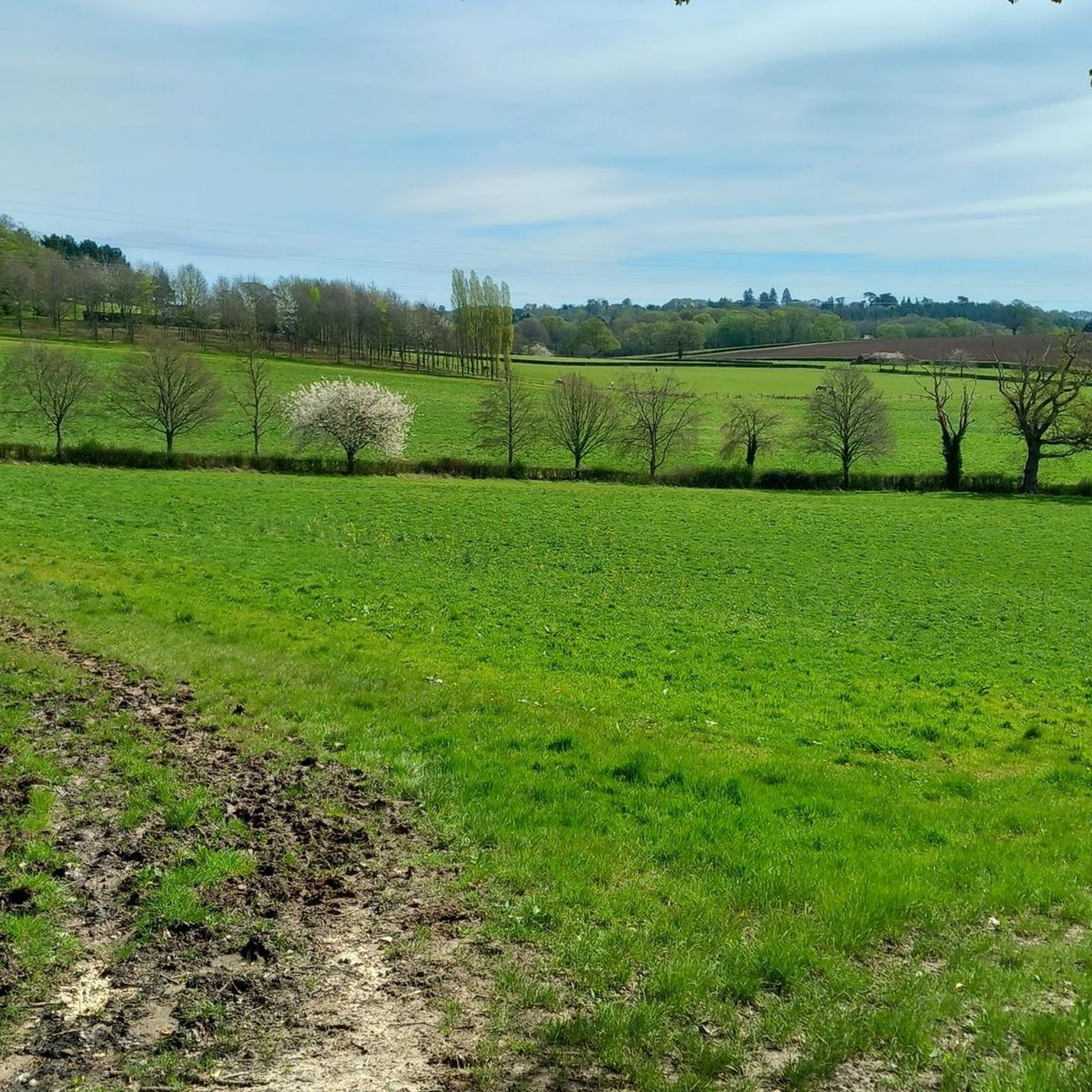
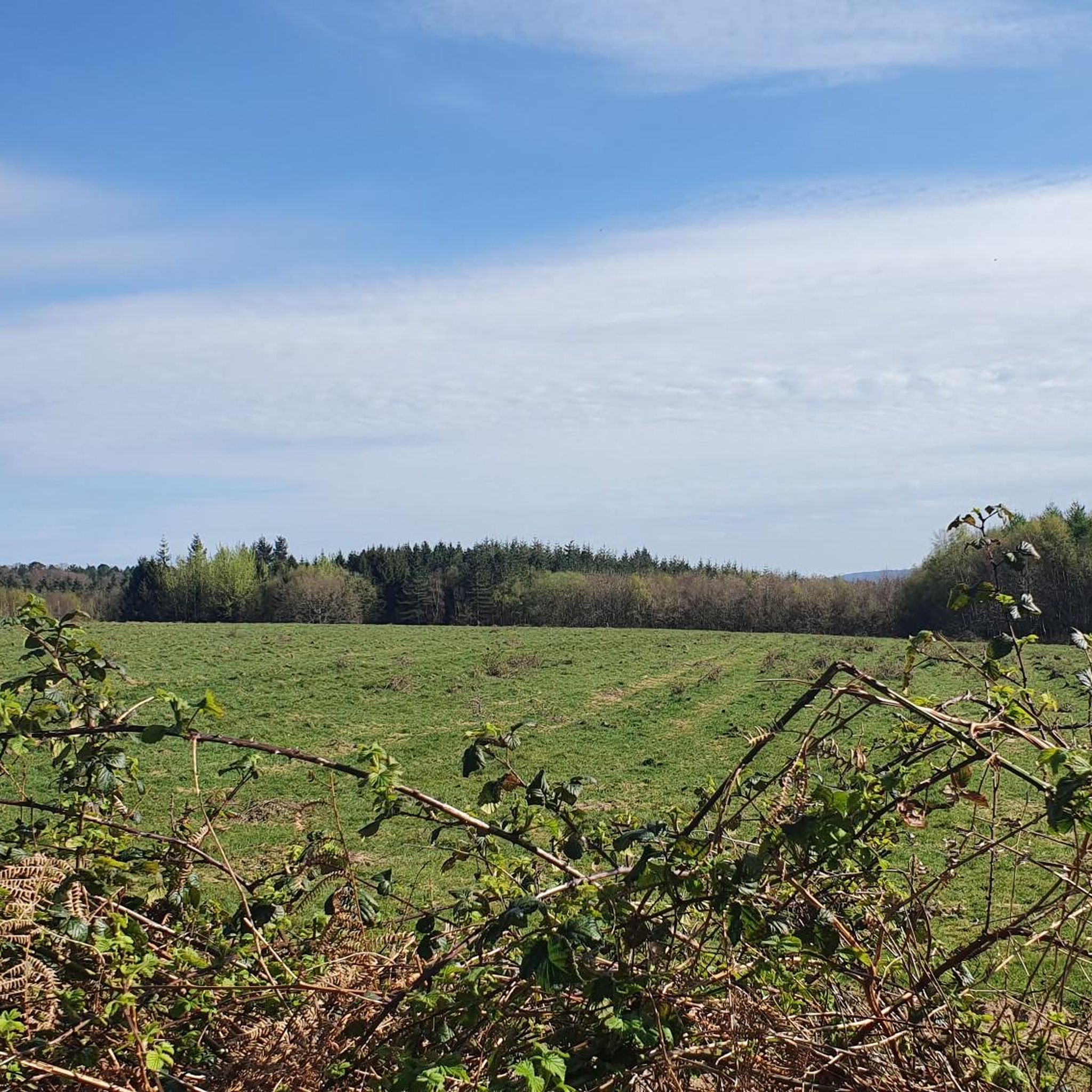
Jogging around Nuthurst offers a chance to explore a tranquil rural landscape characterized by extensive woodlands and open fields. The region, situated on Wealden Clay, features numerous public footpaths and bridleways that traverse ancient forests and pastureland. Joggers can expect gentle slopes and streams, with routes providing varied terrain suitable for different fitness levels.
Best jogging routes around Nuthurst
- The most popular jogging route is St Leonard's Forest loop — High Weald, a 5.4 miles (8.7 km) trail that…
Last updated: October 28, 2026
5.0
(1)
49
runners
8.67km
01:00
100m
100m
Moderate run. Good fitness required. Mostly paved surfaces.
69
runners
Moderate run. Good fitness required. Mostly paved surfaces.

11
runners
6.70km
00:42
70m
70m
Moderate run. Good fitness required. Mostly paved surfaces.
10
runners
4.75km
00:30
60m
60m
Easy run. Mostly paved surfaces.
9
runners
Moderate run. Good fitness required. Mostly paved surfaces.
Get access to more routes and recommendations from other explorers.
Already have an account?
Our route recommendations are based on thousands of hikes, rides, and runs completed by other people on komoot.
Start today with a free account
Your next adventure awaits.

Tips from the Community

St. Leonard is famous for fighting and killing a dragon in the forest. This bench with a beautifully carved dragon serves as a reminder of the story.
0
0
This small wildlife hospital is dedicated to giving a second chance and caring for all those animals that are sick, injured, and orphaned. You can find more information about their work on their website: https://rangerslodgewildlifehospital.wordpress.com/
0
0


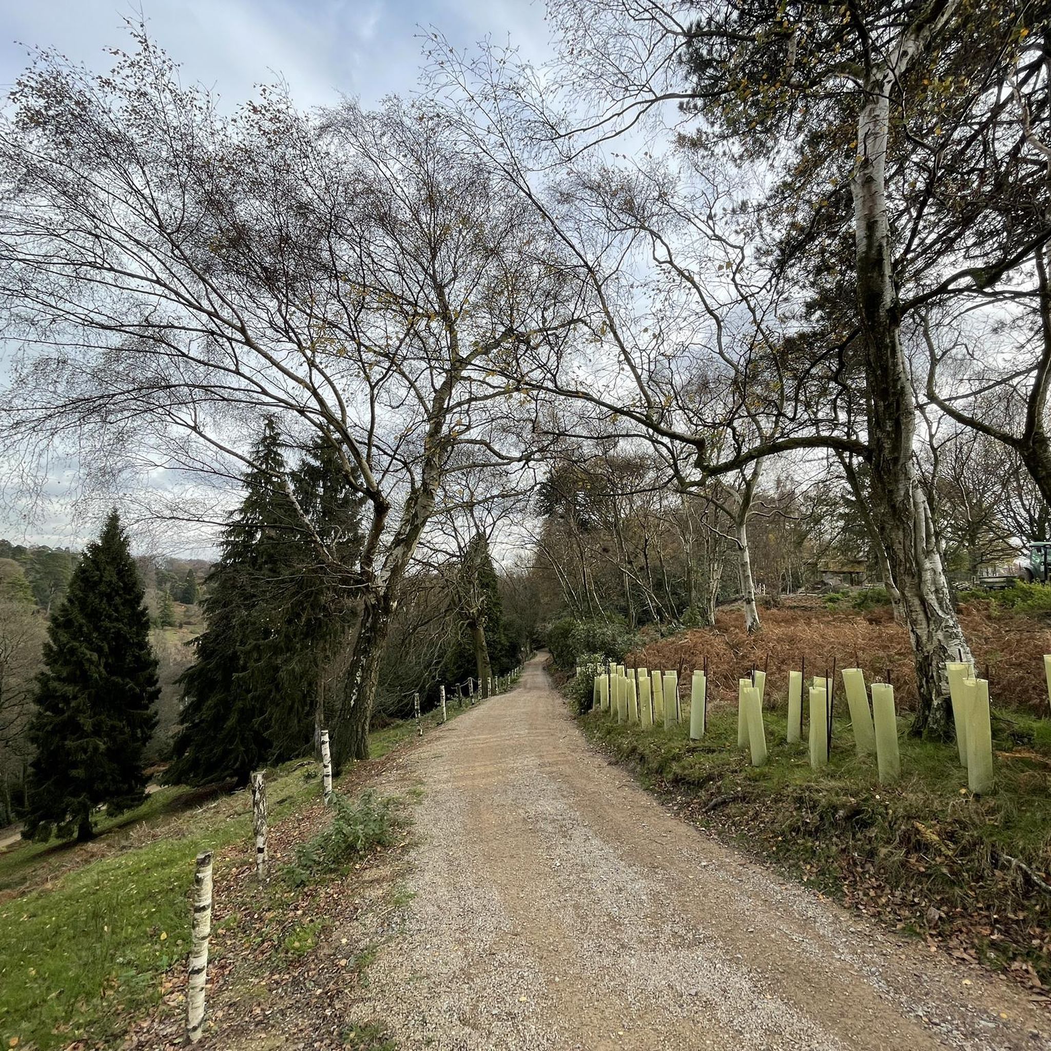
Hard pack gravel - can get some decent speed. Best taken in daylight
0
0

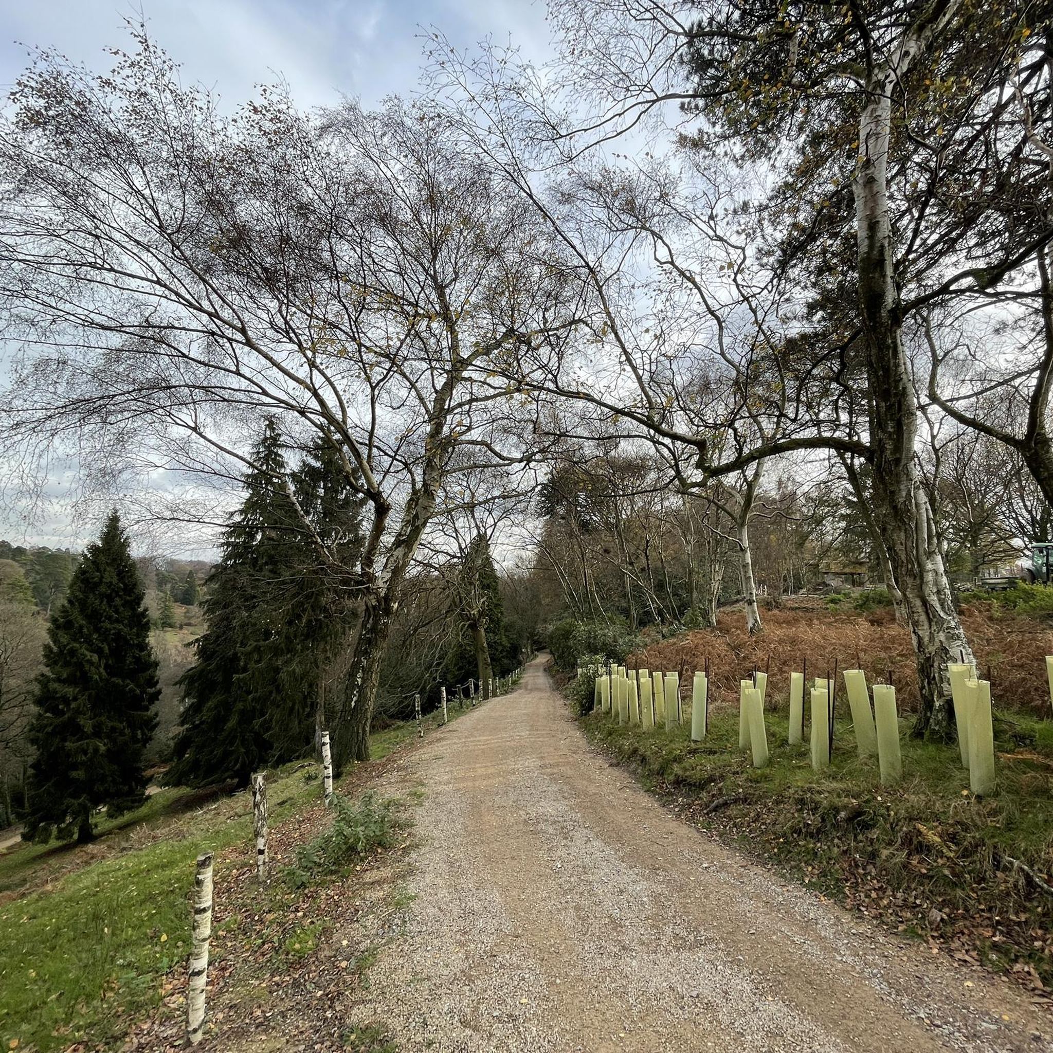
St Leonard's Forest is an extensive woodland that affords cultural history, wildlife spotting opportunities and peaceful walking. The 12 square mile (31 km2) Forestry Commission woodland is part of the High Weald Area of Outstanding Natural Beauty. According to legend, a French hermit lived in the woodland in the 6th century and slayed a dragon amid the ancient trees. It is after him, St Leonard, that the forest is named.
1
0
Frequently Asked Questions
How many running routes are available in Nuthurst?
Nuthurst offers a good selection of routes for runners, with over 19 different trails to explore. These routes vary in length and terrain, providing options for different preferences.
What kind of landscapes can I expect on a jog around Nuthurst?
Jogging in Nuthurst will take you through a tranquil rural landscape characterized by extensive mixed and ancient woodlands, open fields, and pastureland. You'll encounter gentle slopes, streams, and hedges rich with nut trees. Some routes also offer picturesque views, including glimpses of the North and South Downs.
Are there any circular running routes in Nuthurst?
Yes, many of the running routes in Nuthurst are circular, allowing you to start and finish at the same point. For example, the St Leonard's Forest loop — High Weald is a popular circular option exploring expansive woodlands.
Are the running trails in Nuthurst suitable for beginners?
While most routes are rated as moderate, Nuthurst's terrain generally features gentle slopes, making many trails accessible for beginners or those looking for a less strenuous run. The region research mentions shorter, three-mile routes with no significant hills, ideal for a gentler jog. Always check the route details for specific elevation and distance.
What interesting sights or landmarks might I encounter while running in Nuthurst?
While running in Nuthurst, you might pass by historical sites like the fragmentary remains of a medieval castle at Sedgwick Park or Nuthurst Mill on the River Arun. The area is also rich in natural features, including the expansive St Leonard's Forest. You could also explore nearby attractions such as Tilgate Lake or Ifield Mill.
Are the running routes in Nuthurst dog-friendly?
Nuthurst's extensive network of public footpaths and bridleways through woodlands and open fields makes it a great area for running with dogs. However, it's always advisable to keep dogs under control, especially when passing through pastureland where livestock may be present, and to check local signage for any specific restrictions.
Are there places to park near the running trails in Nuthurst?
Yes, Mannings Heath is a known starting point for several popular routes and offers convenient access to the trail network. One route, the Roosthole Car Park – St. Leonard's Dragon Bench loop from Mannings Heath, even mentions a car park in its name, indicating parking availability in that area.
Can I reach the running routes in Nuthurst by public transport?
While Nuthurst is a rural village, public transport options may be limited. It's recommended to check local bus routes to Nuthurst, West Sussex, or consider driving to a starting point with parking facilities to access the trails.
Are there any pubs or cafes near the running routes in Nuthurst?
Yes, The Black Horse Inn in Nuthurst is noted as a gathering place for outdoor enthusiasts, including walkers and cyclists, making it a potential stop for refreshments after your run. You may find other local establishments in the surrounding villages as well.
What do other runners enjoy the most about jogging in Nuthurst?
The running routes in Nuthurst are highly rated by the komoot community, with an average score of 5.0 stars. Runners often praise the tranquil rural setting, the variety of mixed and ancient woodlands, and the well-maintained public footpaths that offer a scenic and enjoyable experience.
What is the general difficulty of running routes in Nuthurst?
Most of the running routes in Nuthurst are rated as moderate, offering a good balance of challenge and accessibility. There are 18 moderate routes and 1 difficult route, with no routes specifically classified as easy. However, the terrain generally features gentle slopes, making many moderate routes suitable for a wide range of fitness levels.
Are there any routes that offer views of the Downs?
Yes, certain running routes in Nuthurst provide picturesque vistas, including glimpses of the North Downs and the South Downs. These routes offer a chance to enjoy expansive views across the landscape while you run.
Most popular routes around Nuthurst
Most popular attractions around Nuthurst

Get inspired with the komoot mobile app


Explore more
Browse the best Running Trails & Routes in other regions.
