The best running trails around Peasedown St John
4.6
(162)
14,438
runners
517
runs
Jogging around Peasedown St John offers routes through the undulating landscape of Somerset, characterized by rolling hills and rural paths. The area features a mix of open countryside and former railway lines, providing varied terrain for runners. Many routes follow established trails, often connecting villages and offering views of the surrounding agricultural land.
Best jogging routes around Peasedown St John
- The most popular jogging route is Subway Sandwich Shop – Colliers Way loop from Radstock, an 8.0 miles (12.9…
Last updated: October 5, 2026
20
runners
5.35km
00:34
60m
60m
Moderate run. Good fitness required. Mostly paved surfaces. Suitable for all skill levels.
3.0
(1)
25
runners
7.87km
00:50
80m
80m
Moderate run. Good fitness required. Mostly paved surfaces. Suitable for all skill levels.

4
runners
19.9km
02:08
280m
280m
Hard run. Very good fitness required. Mostly paved surfaces. Suitable for all skill levels.
6
runners
7.60km
00:48
90m
90m
Moderate run. Good fitness required. Mostly paved surfaces. Suitable for all skill levels.
5
runners
13.3km
01:27
240m
240m
Moderate run. Good fitness required. Mostly paved surfaces. Suitable for all skill levels.
Get access to more routes and recommendations from other explorers.
Already have an account?
Our route recommendations are based on thousands of hikes, rides, and runs completed by other people on komoot.
Start today with a free account
Your next adventure awaits.

Tips from the Community

there is a very welcome little kiosk at the house selling ice cream etc with picnic benches.
1
0

Gorgeous little lane with a nice little ice cream / drink hut along the way. Thankfully it's been beautifully resurfaced. Best done in the direction heading towards Wellow (uphill) as downhill it's too tight and twisty to enjoy properly due to blind bends.
0
0
Owners are friendly. Lovely place to stop for a rest. Cash is easier as the card machine signal is ropey, meaning you may have to walk up the drive with them to pay.
0
0
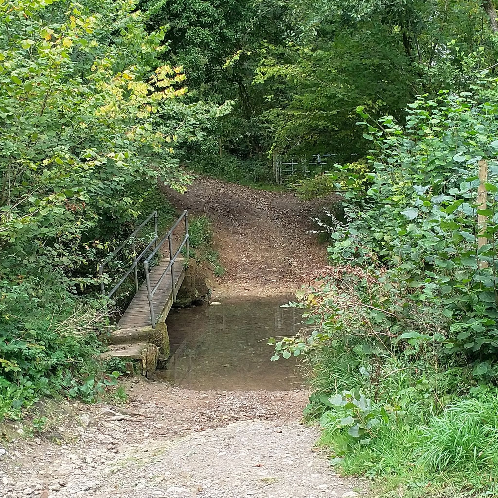
Wellow Ford. Goes without saying this can flood and become impassable for bikes.
0
0

Discover this pretty little ford in the picturesque village of Wellow located in the southern tip of the Cotswolds. After a spell of heavy rain, the water may be too high to cross, so you'll have to take the neighbouring bridge to complete your loop.
2
0

They've repaved most of this with lovely tarmac meaning the hills aren't quite so tough with a full touring rig
0
0

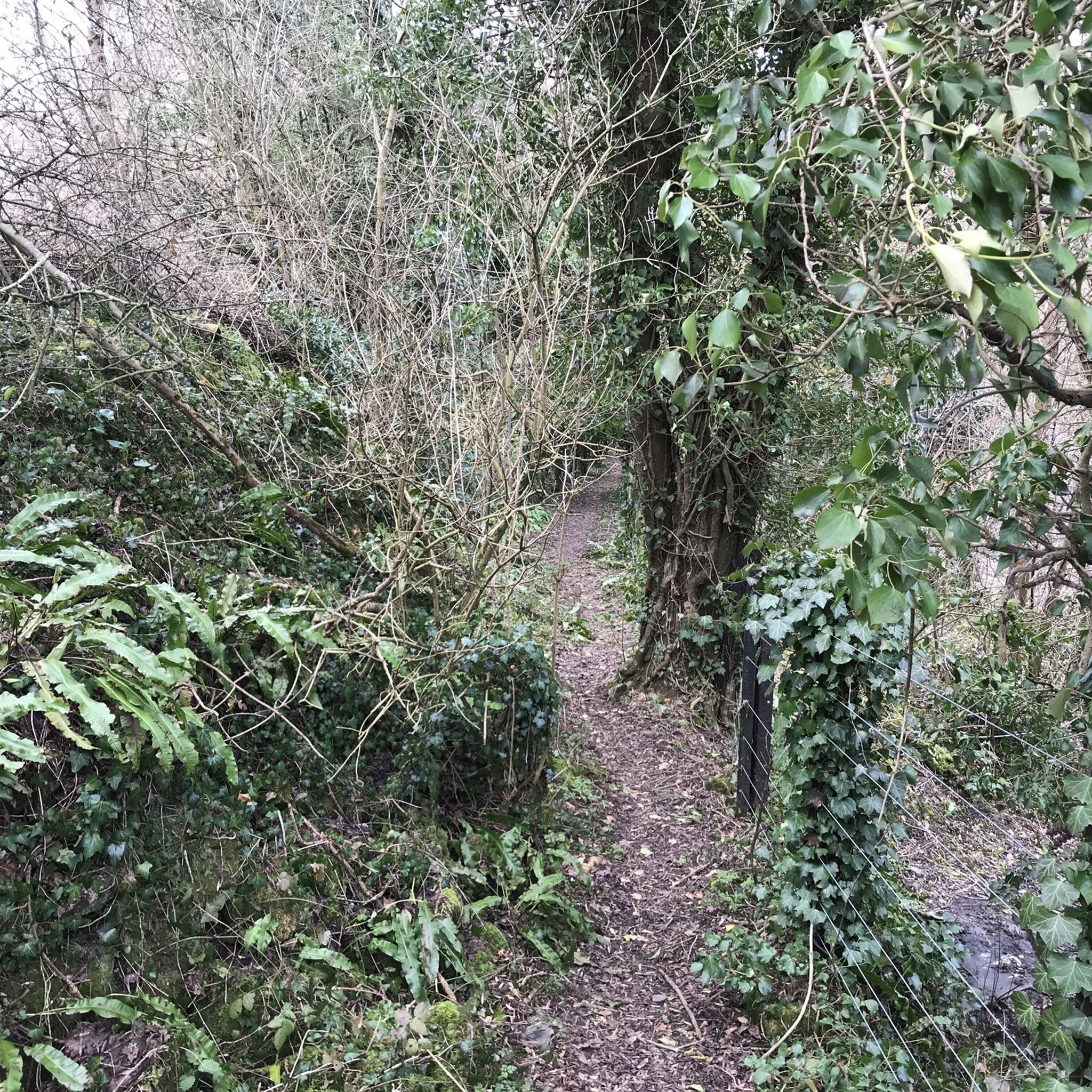
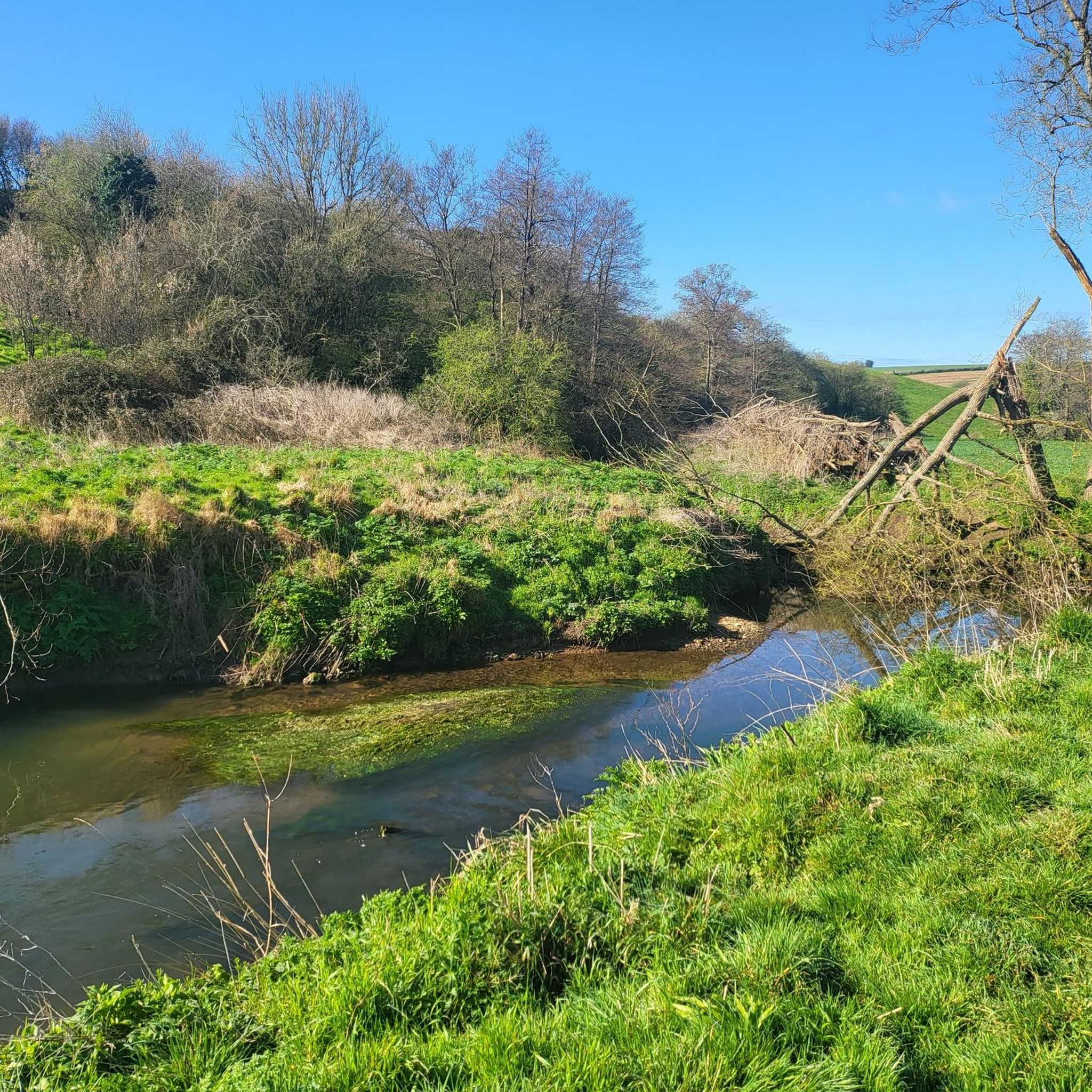
A nice section of the Colliers Way Cycle Route. It runs alongside Wellow Brook and passes Stoney Littleton long barrow.
1
0
The last of the pits in the North Somerset Coalfield closed in 1973. The former Kilmersdon Pit Wheel is a memorial to the miners who worked them.
0
0
Frequently Asked Questions
How many running routes are available around Peasedown St John?
There are over 500 running routes available around Peasedown St John, offering a wide variety of distances and difficulty levels. The komoot community has rated these routes highly, with an average score of 4.6 stars.
Are there easy running routes suitable for beginners in Peasedown St John?
Yes, Peasedown St John offers several easy running routes perfect for beginners. For example, the Running loop from Camerton is a moderate 3.3-mile (5.4 km) trail that takes about 34 minutes to complete, offering a gentle introduction to the local countryside.
Are the running routes in Peasedown St John dog-friendly?
Many of the rural paths and former railway lines around Peasedown St John are suitable for running with dogs, provided they are kept under control. Always check local signage for specific restrictions, especially when passing through farmland or nature reserves. The Subway Sandwich Shop – Colliers Way loop from Radstock is a popular option that follows a disused railway line, often suitable for dogs.
What is the best time of year to go running in Peasedown St John?
The undulating landscape of Somerset makes running enjoyable throughout much of the year. Spring and autumn offer pleasant temperatures and beautiful scenery. Summer mornings and evenings are ideal to avoid the midday heat, while winter runs can be invigorating, especially on well-maintained paths like the Colliers Way, though some rural trails may become muddy.
Are there family-friendly running routes in the Peasedown St John area?
Yes, routes that follow former railway lines, such as sections of the Colliers Way, are generally flat and well-surfaced, making them ideal for families. These paths often avoid busy roads and offer a safe environment for all ages. Consider routes that start from nearby villages like Radstock or Camerton for accessible options.
Can I reach the running trails by public transport?
Peasedown St John and surrounding villages are served by local bus routes, which can provide access to various starting points for running trails. It's advisable to check local bus schedules and routes in advance to plan your journey to the trailheads.
Where can I find parking near the running trails?
Parking is generally available in the villages and towns that serve as starting points for many routes, such as Peasedown St John, Radstock, and Camerton. Look for public car parks or on-street parking where permitted. For routes like the Bike It Radstock – Radstock Pit Wheel loop from Radstock, parking can often be found near the starting location in Radstock.
What kind of scenery can I expect on the running routes around Peasedown St John?
Runners can expect a diverse landscape featuring rolling hills, open countryside, and paths built on former railway lines. The routes offer views of agricultural land and connect various villages, providing a mix of rural tranquility and local charm. You'll experience the characteristic undulating terrain of Somerset.
Are there any circular running routes in Peasedown St John?
Yes, many of the running routes around Peasedown St John are designed as circular loops, allowing you to start and finish in the same location. Examples include the Radstock Pit Wheel – Bike It Radstock loop from Peasedown St. John, which offers a moderate 4.9-mile (7.9 km) run.
What do other runners enjoy most about jogging in Peasedown St John?
The running routes in Peasedown St John are highly rated by the komoot community, with an average score of 4.6 stars from over 130 reviews. Runners often praise the varied terrain, the peaceful rural paths, and the well-maintained sections of former railway lines like the Colliers Way, which provide a smooth running surface.
Are there any interesting landmarks or attractions near the running routes?
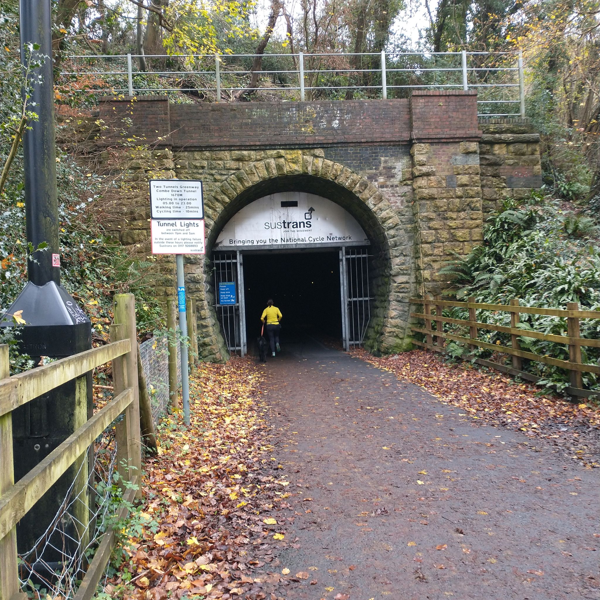
Yes, the area around Peasedown St John offers several points of interest. While running, you might be near highlights such as the Dundas Aqueduct or sections of the Kennet and Avon Canal Towpath. The Two Tunnels Greenway is also a notable feature in the wider region, offering unique running experiences.
Are there longer, more challenging running routes for experienced runners?
Absolutely. For those seeking a greater challenge, there are more difficult routes available, such as the Running loop from Peasedown St. John, which spans 11.9 miles (19.2 km) and features significant elevation changes, providing a demanding workout through the varied terrain.
Most popular routes around Peasedown St John
Most popular attractions around Peasedown St John

Get inspired with the komoot mobile app


Explore more
Browse the best Running Trails & Routes in other regions.
