The best walks and hikes around Norton Malreward
4.4
(1871)
17,347
hikers
822
hikes
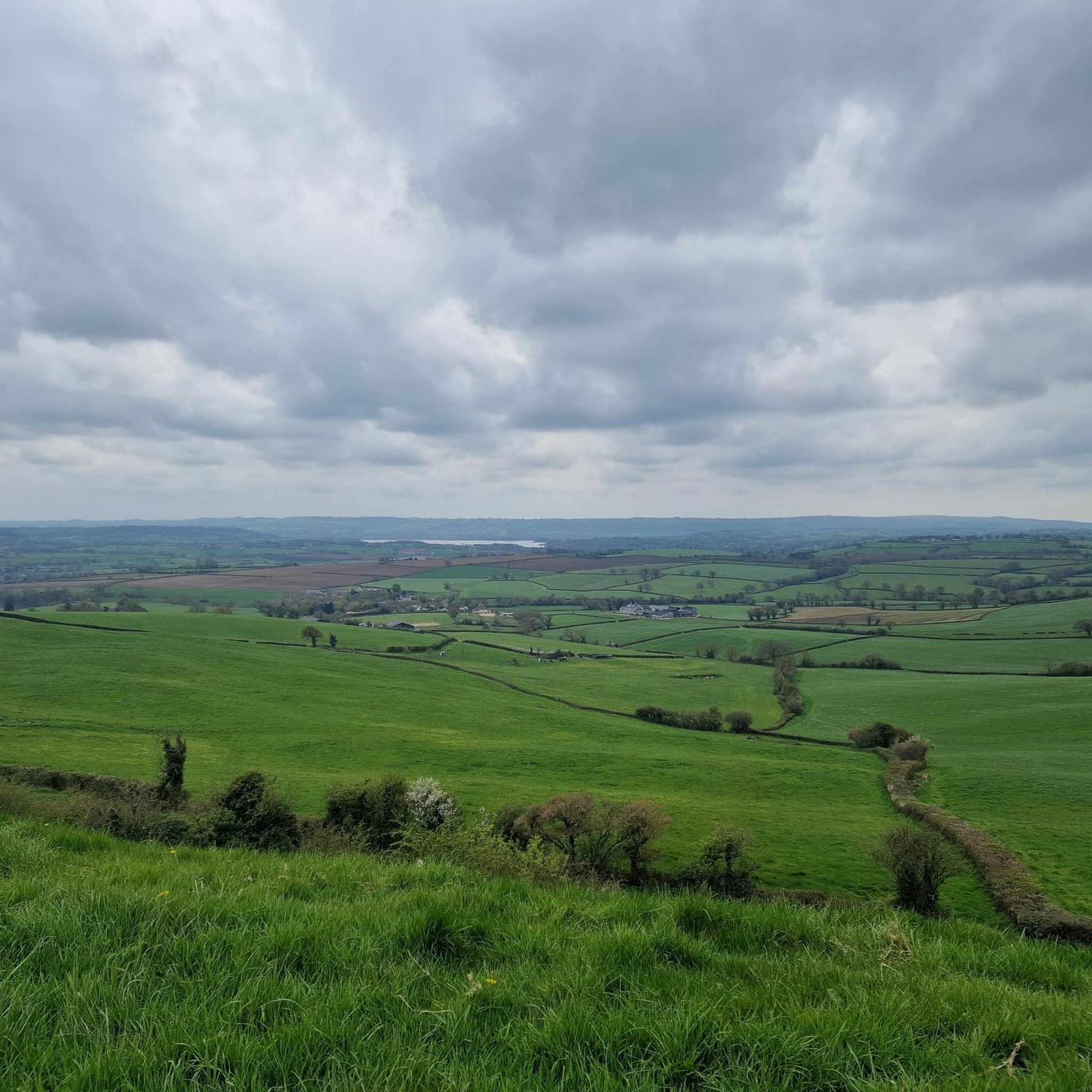
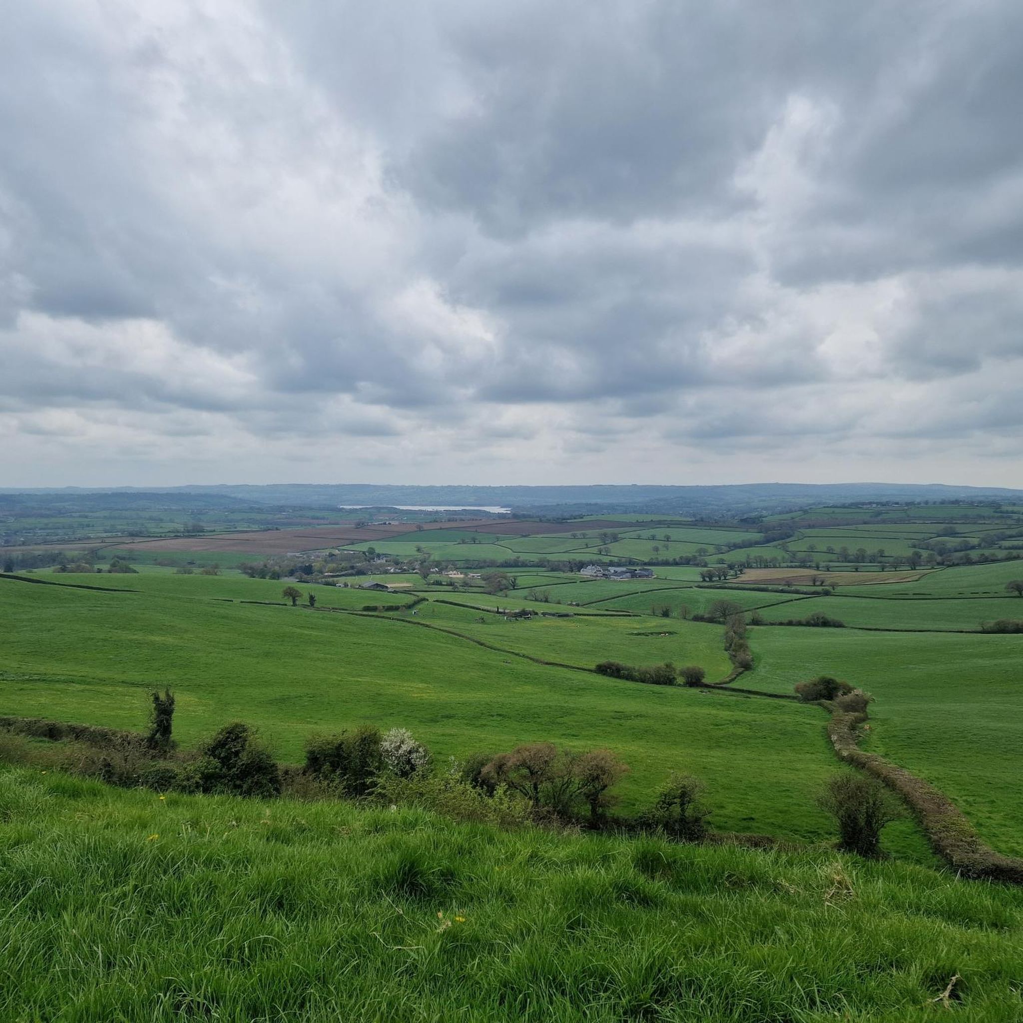
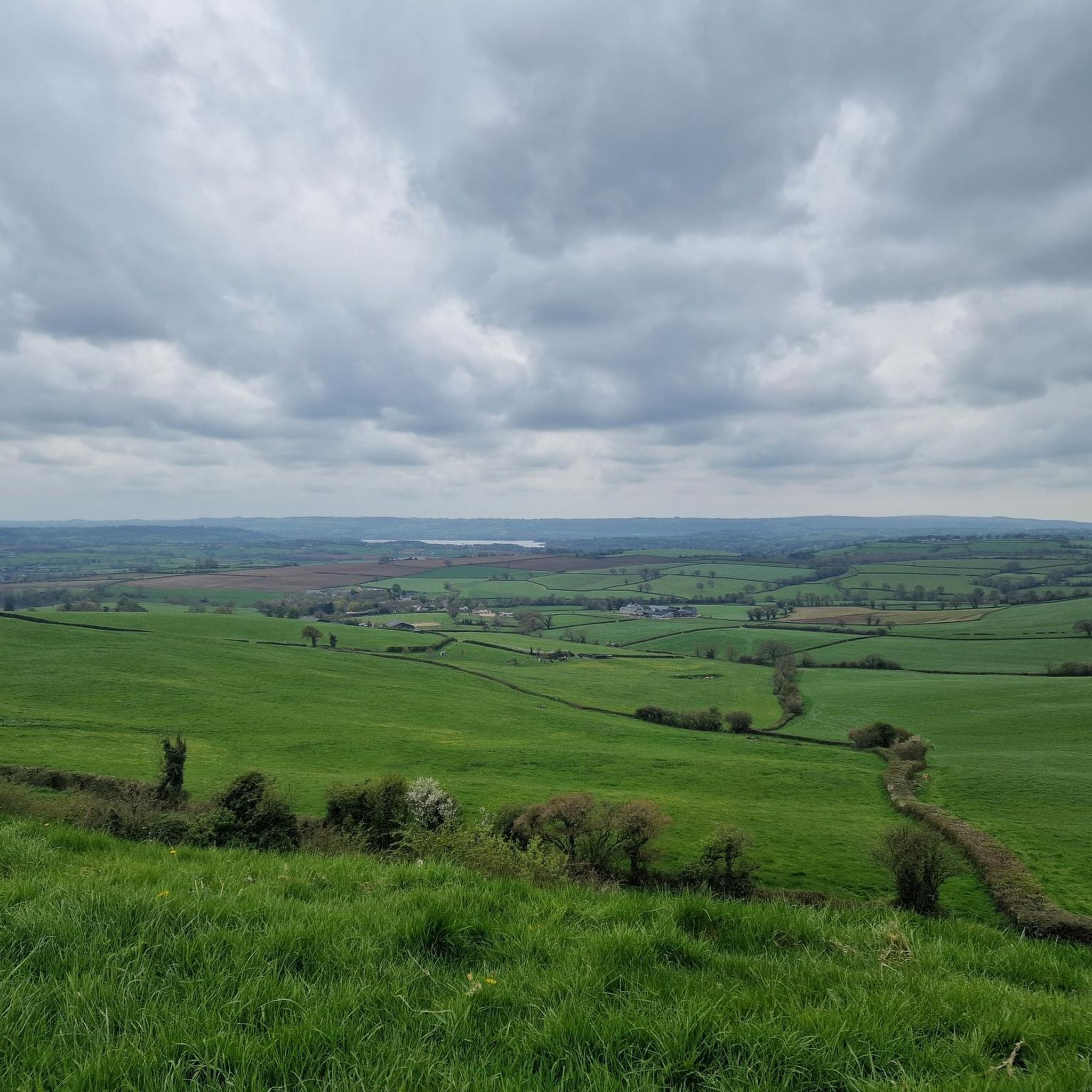
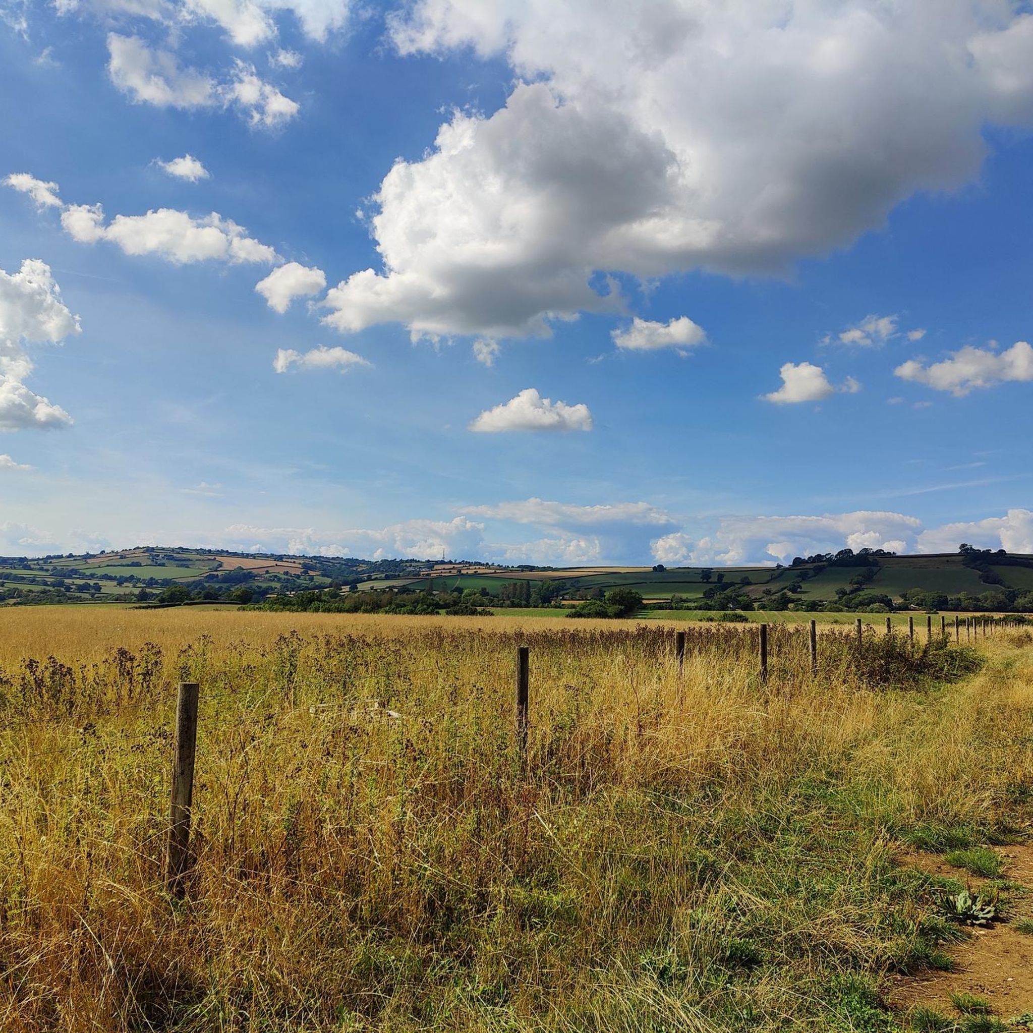
Hiking around Norton Malreward offers diverse landscapes characterized by rolling hills, river valleys, and ancient historical features. The village is situated at the northern edge of the scenic Chew Valley, providing views across the valley and towards Chew Valley Lake. Key natural features include Maes Knoll, an Iron Age hillfort offering expansive vistas, and stretches along the River Chew. The area also provides access to the broader Mendip Hills Area of Outstanding Natural Beauty.
Best hiking trails around Norton Malreward
…Last updated: September 28, 2026
4.2
(15)
53
hikers
17.5km
04:40
190m
190m
Moderate hike. Good fitness required. Easily-accessible paths. Suitable for all skill levels.
4.7
(76)
284
hikers
Moderate hike. Good fitness required. Easily-accessible paths. Suitable for all skill levels.

4.9
(49)
204
hikers
Easy hike. Great for any fitness level. Easily-accessible paths. Suitable for all skill levels.
4.6
(5)
35
hikers
Moderate hike. Good fitness required. Easily-accessible paths. Suitable for all skill levels.
4.6
(5)
35
hikers
Easy hike. Great for any fitness level. Easily-accessible paths. Suitable for all skill levels.
Get access to more routes and recommendations from other explorers.
Already have an account?
Our route recommendations are based on thousands of hikes, rides, and runs completed by other people on komoot.
Start today with a free account
Your next adventure awaits.

Tips from the Community

This hill, while lower than the surrounding ridges, provides great views from the top. Fern covered with several tracks crossing the slopes.
0
0

I wouldn't go out of your way to come here... But, if you happen to be in / near here on a walk, then you may as well add it on! • Also, this pond is very deep in the woodland. There is a path all around it, and it is very pretty; it's mostly obscured from view (which is great) because this means that you can peek through the foliage and see birds who aren't aware you're there! Of course, they will be as soon as you move on! I have only been once, it was very muddy after & during rain, so I can't advise on other seasons.
0
0

As with many stories of stone circles, legends explained the stones were a petrified party of people. Aubrey wrote that The Cove were the parson, bridegroom, and bride. Another group of stones was the band, while the circles comprised the dancing guests later, the story evolved, as the wedding took place on a Saturday. As the evening wore on, one musician player (either a piper or a harper) had simply refused to play beyond the point of midnight since it would mean playing on into the Sunday. The furious bride claimed she would find another player even if it meant travelling to hell to fetch one. Then Hell came to her in the form of the Devil, dressed in a disguise of that as an old man. He played and played as the company endlessly danced, but soon to find that they couldn’t stop dancing, no matter how much they tried or badly wanted to, and they had became to turn into stone by in the Sunday morning
0
0
The Stanton Drew stone circles are located just outside the village of Stanton Drew in the English county of Somerset. The largest stone circle is the Great Circle, standing in a 113 metres in diameter and is in-fact the second largest stone circle to be discovered in Britain. After Avebury and It’s considered to be one of the largest Neolithic monuments to have ever been built. The date of the construction is not actually accurately known of, but it’s thought to have been built between 3000 and 2000 BCE. These standing stone circles of which have been studied since John Aubrey's visit in 1664. It was only made a scheduled monument of it is today in 1982. Please be aware that an entrance fee is charged by the landowner for any entry in among the grounds of the Stone Circles and any public access is at his discretion only. NO DOGS ALLOWED! As the land is used for agriculture purposes and usually has cattle grazing on the fields where the standing stones are. Please be aware that the English Heritage sites do not permit drone flying from or over sites in our care, by any circumstances except by contractors or partners undertaking flights for a specific purpose, who satisfy stringent CAA criteria, have the correct insurances and permissions, and are operating under controlled conditions only. Just having experienced this ourselves before.
0
0

Pensford Viaduct is a disused railway bridge. It was built in 1874 to carry the Bristol and North Somerset railway over the River Chew. It was closed in 1968 and is now preserved as a historic building. Great views of the viaduct can be had from Stanton Lane.
0
0
Gorgeous Woodland. Really stunning villages nearby, too. The fields in the vicinity can become *very* waterlogged after a lot of rain!!
0
0

Was not ready for how rough it is down here. Good luck if there's something coming the other way
0
0

Beautiful Landscape & Walking Route Along River Chew Accesible From Pensford Bridge. Some initial parts of the path gets quite muddy after prior days of rain but can still walk through with boots. Best to walk after few days of dry weather.
3
0
Frequently Asked Questions
How many hiking trails are available around Norton Malreward?
There are over 840 hiking trails around Norton Malreward, offering a wide variety of options for all skill levels. The komoot community has highly rated these routes, with an average score of 4.5 stars.
What is the typical terrain and elevation like for hiking around Norton Malreward?
Hiking around Norton Malreward is characterized by rolling hills, scenic river valleys, and ancient monuments. You'll find a mix of gentle riverside strolls along the River Chew and more challenging ascents, particularly towards landmarks like Maes Knoll. The area offers diverse landscapes, from open views across the Chew Valley to wooded sections.
Are there any specific hiking regulations or permits required in Norton Malreward?
Generally, no specific hiking permits or regulations are required for public footpaths and trails around Norton Malreward. However, always respect private land, keep dogs under control, and follow the Countryside Code to preserve the natural environment.
What natural features or historical landmarks can I expect to see on hikes near Norton Malreward?
Many hikes in the area offer views of the scenic Chew Valley and Chew Valley Lake. You can also explore significant historical sites such as Stanton Drew Stone Circles and Cove, an ancient archaeological site. The Iron Age hillfort of Maes Knoll provides splendid panoramic views. Additionally, the impressive Pensford Viaduct, a disused railway bridge, is a notable landmark on several routes.
Are there any easy, family-friendly walks suitable for children around Norton Malreward?
Yes, Norton Malreward offers several easy routes suitable for families. Trails along the River Chew are generally flatter and shorter. For example, the Druid's Arms pub – Pensford Viaduct loop from Stanton Drew is an easy 3.7-mile trail that follows the River Chew valley, taking about 1 hour 32 minutes to complete.
Can I bring my dog on the hiking trails in Norton Malreward?
Most hiking trails around Norton Malreward are dog-friendly, allowing you to enjoy the outdoors with your canine companion. However, it's crucial to keep dogs on a lead, especially when passing through fields with livestock, and to clean up after them. Always check local signage for any specific restrictions.
Are there any circular walking routes available from Norton Malreward?
Yes, many routes around Norton Malreward are circular, allowing you to start and end in the same location. An example is the Pensford Viaduct – The Round House, Stanton Drew loop from Norton Malreward, a moderate 5.1-mile path that offers varied scenery and returns to the starting point.
What is the best time of year to go hiking in Norton Malreward?
Norton Malreward is enjoyable for hiking year-round. Spring brings blooming wildflowers and lush greenery, while autumn offers beautiful foliage across the Chew Valley. Summer provides longer daylight hours, and even winter walks can be picturesque, especially around the ancient sites. Always check weather conditions before heading out.
Where can I find parking for hiking trails near Norton Malreward?
Parking options vary depending on your chosen starting point. Many village centers or popular trailheads in and around Norton Malreward, Stanton Drew, or Pensford offer public parking facilities. It's advisable to check specific route details for recommended parking areas.
Are there any pubs or cafes along the hiking routes in Norton Malreward?
Yes, several hiking routes pass through or near villages like Pensford and Stanton Drew, which often have traditional pubs where you can stop for refreshments. The Druid's Arms pub – Pensford Viaduct loop from Stanton Drew, for instance, starts near a pub, offering a convenient stop.
What do other hikers enjoy the most about hiking in Norton Malreward?
The area is highly rated by the komoot community, with an average score of 4.5 stars from over 1500 reviews. Hikers often praise the diverse landscapes, the stunning views across the Chew Valley, and the combination of natural beauty with historical landmarks like the Stanton Drew Stone Circles and Maes Knoll.
Most popular routes around Norton Malreward
Most popular attractions around Norton Malreward

Get inspired with the komoot mobile app


Explore more
Browse the best Hikes in other regions.
