The best running trails around Twineham
4.4
(184)
7,813
runners
518
runs
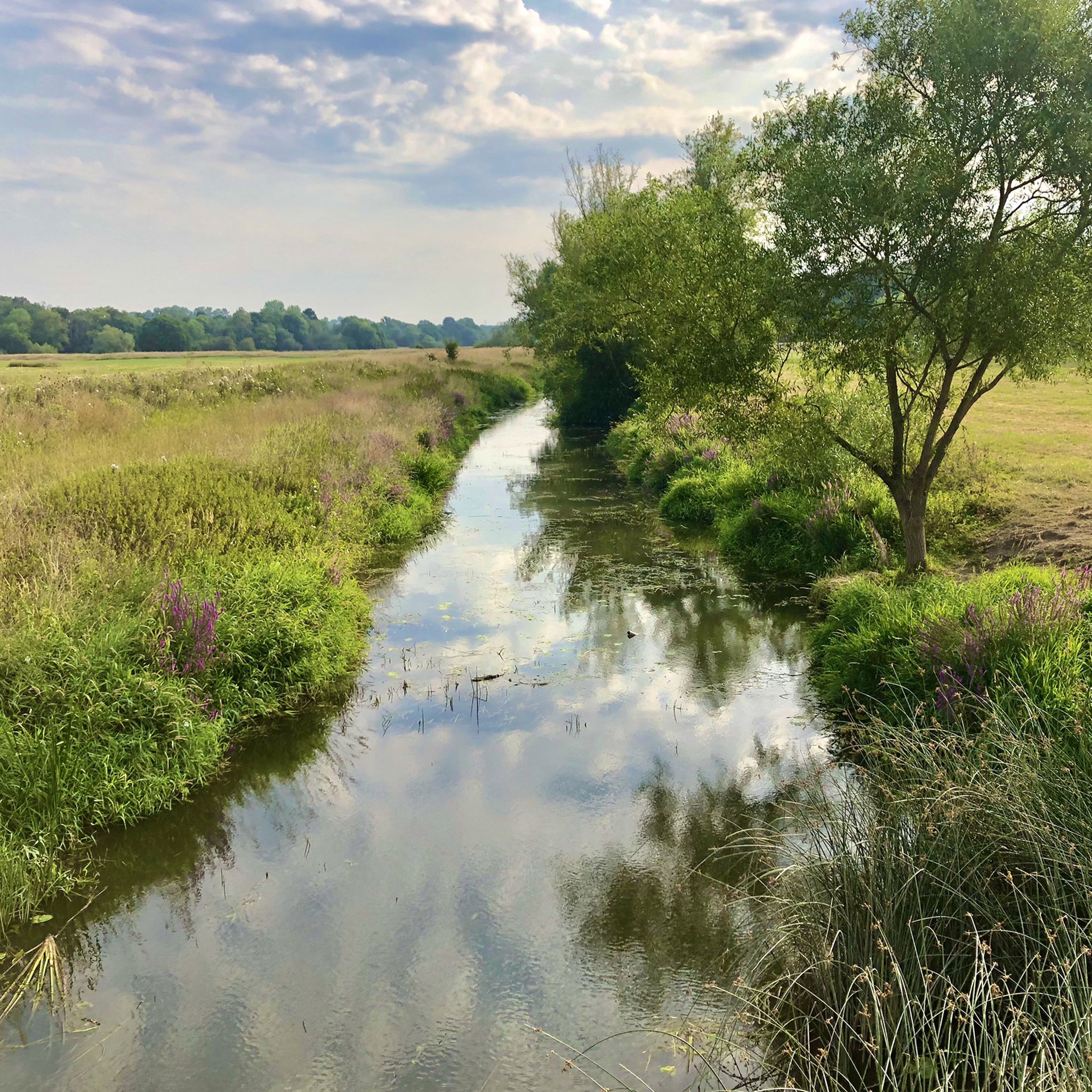
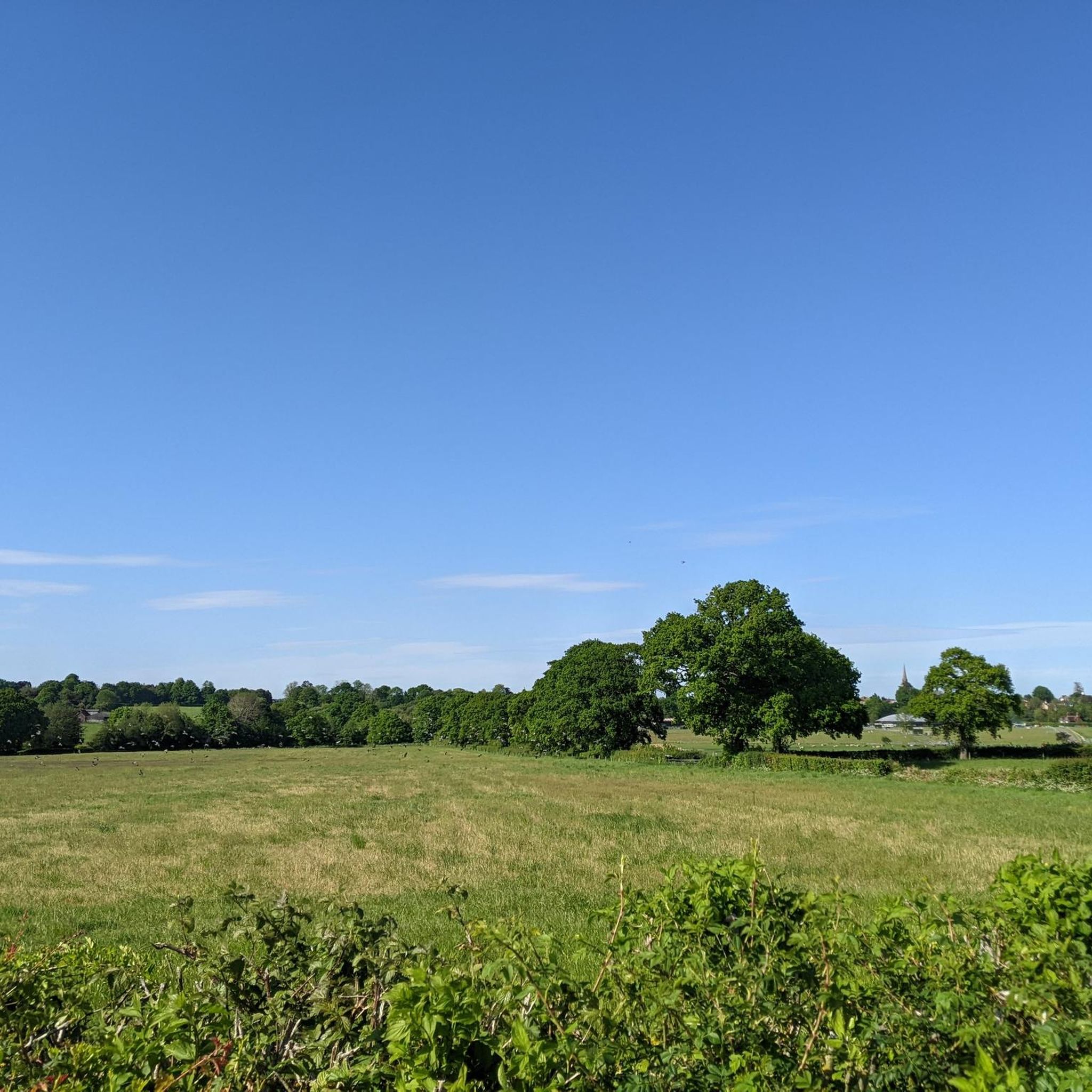
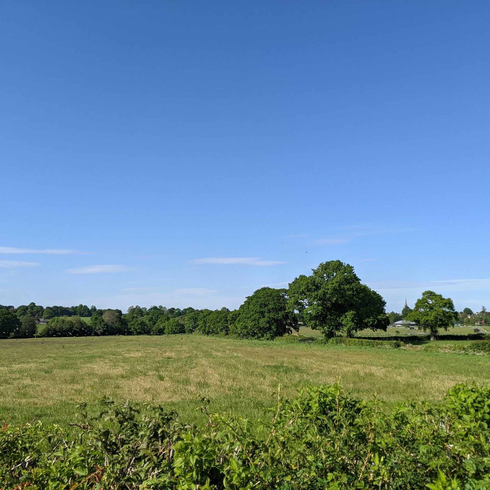
Jogging around Twineham offers diverse natural landscapes within the heart of West Sussex. The region is characterized by the flat, open countryside of the Adur Valley, featuring meandering streams and meadows, alongside the well-timbered terrain of the Low Weald. Runners can find varied routes, from gentle paths along reedy brooks to more challenging ascents on nearby hills like Ditchling Beacon, which provides panoramic views. The area's natural features, including historical drove roads and chalkland valleys, create a tranquil and engaging…
Last updated: October 5, 2026
34
runners
5.85km
00:36
40m
40m
Moderate run. Good fitness required. Mostly paved surfaces. Suitable for all skill levels.
7
runners
17.3km
01:55
250m
250m
Hard run. Very good fitness required. Mostly paved surfaces. Suitable for all skill levels.

12
runners
4.34km
00:27
20m
20m
Easy run. Great for any fitness level. Mostly paved surfaces. Suitable for all skill levels.
6
runners
10.2km
01:04
110m
110m
Moderate run. Good fitness required. Mostly paved surfaces. Suitable for all skill levels.
5
runners
Moderate run. Good fitness required. Mostly paved surfaces. Suitable for all skill levels.
Get access to more routes and recommendations from other explorers.
Already have an account?
Our route recommendations are based on thousands of hikes, rides, and runs completed by other people on komoot.
Start today with a free account
Your next adventure awaits.
Tips from the Community

A lovely example of Sussex knapped flint buildings.
0
0


This historic town lies on the outskirts of the South Downs National Park. The High Street is narrow and can get quite busy with two-way cars so don’t expect to be able to whizz through. "Hurstpierpoint" is believed to have originated from the Old English words "hyrst" (meaning wooded hill) and "pyrige" (meaning point or ridge).
0
0

Wonderful little cafe on the route well worth a stop for a coffee & cake
0
0

You'll notice when you are waiting at the lights. Hard to miss this unique building.
0
0

A 19th century folly tower built in what was the grounds of Mansion House in Hurstpierpoint.
0
0
This rather glamorous dome, built in 1825, was originally the King's Head Inn. Sadly no longer.
0
0

St Mary's is a Grade II-listed church with a pretty graveyard. Ancient yew trees provide enormous canopies over the tombs and create a blissful sense of peace. It's a lovely spot to visit on a hike in the area.
0
0
Frequently Asked Questions
How many running routes are available around Twineham?
There are over 500 running routes recorded around Twineham on komoot, offering a wide variety of options for all skill levels. You'll find everything from easy, flat paths to more challenging ascents.
What kind of terrain can I expect on jogging trails near Twineham?
Jogging routes around Twineham feature diverse terrain. You can expect flat, open countryside in the Adur Valley with meandering streams and meadows, as well as well-timbered areas in the Low Weald. Some routes also incorporate historical drove roads, offering varied surfaces and scenic backdrops.
Are there any challenging running routes with significant elevation around Twineham?
Yes, for those seeking a challenge, nearby Ditchling Beacon offers a significant ascent with panoramic views across the Weald and towards the sea. While Twineham itself is in a flatter area, the proximity to the Sussex Downs provides opportunities for more strenuous runs.
What are some natural features or landmarks I might see while running in the Twineham area?
The region is rich in natural beauty. You might encounter the unique v-shaped chalkland of Devil's Dyke, historic drove roads like Wineham Lane, and the serene streams of the Adur Valley. Keep an eye out for diverse wildlife, including yellowhammers, reed warblers, and various dragonflies along the waterways. You can also explore highlights such as Ditchling Beacon or Wolstonbury Hill.
Are there any family-friendly running routes suitable for all ages near Twineham?
Many of the easier routes around Twineham are suitable for families. The flat, open countryside of the Adur Valley provides gentle paths perfect for a leisurely run with children. Look for routes marked as 'easy' on komoot for the most family-friendly options.
Can I bring my dog on the running trails around Twineham?
Yes, many of the public footpaths and bridleways around Twineham are dog-friendly. The varied landscape, from open fields to wooded areas, offers plenty of space for dogs to enjoy. Always ensure your dog is under control, especially around livestock, and follow local signage regarding leads.
Are there any circular running routes in Twineham?
Yes, many of the running routes around Twineham are circular, allowing you to start and finish in the same location. For example, the Cob Lane loop from Twineham is a popular circular trail that takes you through historical drove roads and hedgerows.
Where can I find parking for running routes near Twineham?
Parking availability varies by route. Many routes start from villages or near local amenities where parking might be available. It's always a good idea to check the specific route details on komoot for information on starting points and potential parking areas.
What do other runners say about the trails in Twineham?
The running routes in Twineham are highly rated by the komoot community, with an average score of 4.4 stars from over 140 reviews. Runners often praise the tranquil atmosphere, the scenic views of the Adur Valley and Low Weald, and the variety of terrain available.
Are there any places to explore or visit near the running routes?
Beyond the natural landscapes, you can find interesting spots like the nearby Bolney Wine Estate for a local experience, or the historic Jack and Jill Windmills (Clayton Windmills) which make for a scenic destination. The The King's Head Dome loop from Hurstpierpoint and Sayers Common is a popular route that offers a pleasant run through the local countryside.
What is a good easy running route to try in the Twineham area?
For an easy and accessible run, consider the Morley's Wine Bar – Hurstpierpoint Folly Tower loop from Albourne. This 2.7-mile path offers gentle terrain and often passes through scenic, well-timbered areas, making it a great choice for a relaxed jog.
Are there any longer, more difficult running routes for experienced runners?
Yes, experienced runners can find more challenging options. For instance, the New Pond – Steep Wood loop from Bolney is a difficult 10.9-mile route with significant elevation gain, providing a demanding workout through varied landscapes.
Most popular attractions around Twineham

Get inspired with the komoot mobile app


Explore more
Browse the best Running Trails & Routes in other regions.
