The best running trails around Bad Sauerbrunn
4.5
(184)
4,324
runners
14
runs
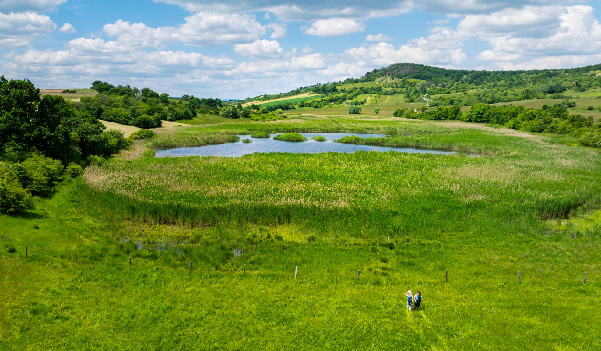
Jogging around Bad Sauerbrunn offers diverse landscapes, from serene forest trails to panoramic mountain views. The region features varied terrain, including winding paths through shaded woodlands and open areas with vistas of the Rosalien Mountains. Dedicated fitness infrastructure, such as the "Trimm Dich Pfad," complements the natural routes. These features provide a range of running experiences for different fitness levels.
Best jogging routes around Bad Sauerbrunn
- The most popular jogging route is Main square Bad Sauerbrunn – Brunnentempel Bad Sauerbrunn…
Last updated: August 14, 2026
5.0
(3)
13
runners
6.05km
00:40
60m
60m
Moderate run. Good fitness required. Mostly paved surfaces. Suitable for all skill levels.
5.0
(2)
10
runners
Moderate run. Good fitness required. Mostly paved surfaces. Suitable for all skill levels.

Sign up for free
11
runners
11.1km
01:13
270m
270m
Moderate run. Good fitness required. Mostly paved surfaces. Suitable for all skill levels.
7
runners
Hard run. Very good fitness required. Sure-footedness, sturdy shoes and alpine experience required.
3.0
(1)
7
runners
6.32km
00:40
70m
70m
Moderate run. Good fitness required. Mostly paved surfaces. Suitable for all skill levels.
Get access to more routes and recommendations from other explorers.
Sign up for free
Already have an account?
Our route recommendations are based on thousands of hikes, rides, and runs completed by other people on komoot.
Start today with a free account
Your next adventure awaits.
Login or Signup
Other adventures around Bad Sauerbrunn

Tips from the Community

Don't forget to sign the summit register.
0
0

Cool rest areas and stations, entertaining section of the route.
1
0

There are many short detours that always lead back to the right path
1
0

Bad Sauerbrunn (Hungarian: Savanyúkút, Croatian: Kisela Voda) is a municipality with 2,305 inhabitants (as of January 1, 2024) in the Mattersburg district of northern Burgenland, Austria. Source: https://de.m.wikipedia.org/wiki/Bad_Sauerbrunn
4
0

It may be an inconspicuous summit, but you walk through a wonderful forest landscape where there are always interesting views. There is also a summit rest area and a summit book.
5
1

Pointed bar (594m above sea level) with rest area
0
0

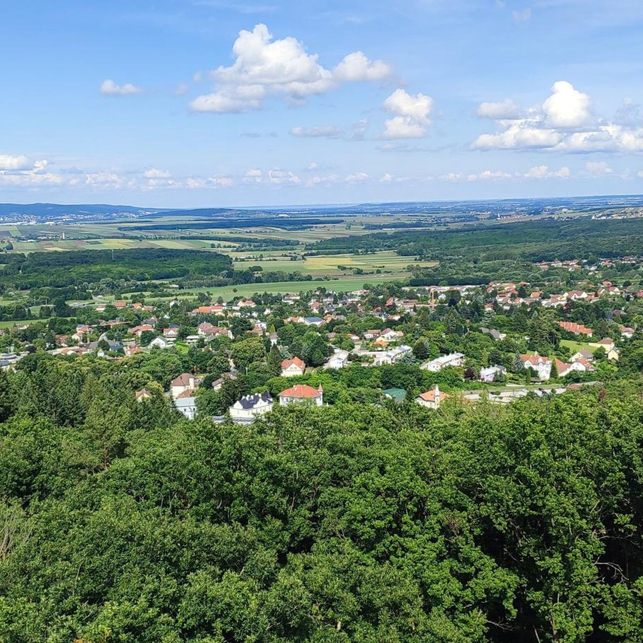
The original lookout tower was built in 1903, later unfortunately destroyed and rebuilt in 2007. The 28 meter high wooden and steel construction, which winds around a 100 year old tree, has 133 steps to climb. The ascent is always worthwhile, because the view extends over the Rosaliengebirge to Lake Neusiedl and even to Sopron and Bratislava.
4
2

Rest area with drinking water. Cozy and worth seeing.
2
1
Frequently Asked Questions
How many jogging routes are available in Bad Sauerbrunn?
Bad Sauerbrunn offers a diverse selection of over 10 running routes, catering to various preferences and fitness levels. These include easy, moderate, and challenging options, ensuring there's a suitable path for everyone.
What kind of terrain can I expect on the running trails around Bad Sauerbrunn?
You'll find a rich variety of terrain, from serene forest paths and winding trails through shaded woodlands to more open areas offering impressive views of the Rosalien Mountains. Some routes also traverse vineyards or the tranquil spa park with its fragrant rose garden, providing a mix of natural surfaces and well-maintained paths.
Are there any family-friendly jogging paths in Bad Sauerbrunn?
Yes, Bad Sauerbrunn is home to the 'naturVisionen' adventure trail, which is excellent for families. This approximately 1.5 km long forest path combines nature experiences with movement and play, featuring motor skills stations like balancing beams and rope bridges. It's a fun way to jog or walk with children while enjoying the outdoors.
Can I bring my dog on the running trails?
Many of the natural trails and forest paths around Bad Sauerbrunn are suitable for running with dogs. It's always recommended to keep your dog on a leash, especially in nature protection areas or near wildlife, and to respect local regulations regarding pets on trails.
Are there any circular running routes?
Absolutely. Many of the routes in Bad Sauerbrunn are designed as loops, allowing you to start and finish at the same point. For example, the Main square Bad Sauerbrunn – Brunnentempel Bad Sauerbrunn loop is a popular circular route, offering a pleasant run through the local area.
What are some scenic viewpoints or landmarks I can see while running?
Several routes offer stunning views and pass by interesting landmarks. The 'naturVisionen' adventure trail leads to the 28-meter-high Bad Sauerbrunn Observation Tower at Florianikreuz, providing panoramic vistas from the Rosalien Mountains to Lake Neusiedl and Schneeberg. You might also encounter the Wetterkreuz on Wurthberg or the Mitterriegel, both offering great perspectives of the surrounding landscape.
Is parking available near the trailheads?
Yes, parking is generally available at various starting points for the jogging routes in Bad Sauerbrunn. Many routes, such as the Picnic Area Near Wetterkreuz – Main square Bad Sauerbrunn loop, are easily accessible by car with convenient parking options nearby.
How can I reach the jogging routes using public transport?
Bad Sauerbrunn is well-connected by public transport, making it easy to access the running trails. The town's central locations, such as the Main Square, often serve as starting points for routes like the Main square Bad Sauerbrunn loop, and are typically within walking distance of bus or train stops.
What is the best time of year to go jogging in Bad Sauerbrunn?
Bad Sauerbrunn offers enjoyable running conditions throughout much of the year. Spring and autumn provide pleasant temperatures and beautiful scenery with blooming flowers or vibrant foliage. Summer mornings and evenings are ideal to avoid the midday heat, while winter can offer crisp, scenic runs, especially on cleared paths.
What do other runners enjoy the most about jogging in Bad Sauerbrunn?
The running routes in Bad Sauerbrunn are highly rated by the komoot community, with an average score of 4.5 stars from over 150 reviews. Runners frequently praise the diverse landscapes, from the quiet forest trails to the panoramic views of the Rosalien Mountains, and appreciate the well-maintained paths and dedicated fitness stations.
Are there any more challenging running routes for experienced runners?
Yes, for those seeking a greater challenge, Bad Sauerbrunn offers routes with significant elevation changes. The Main square Bad Sauerbrunn – Bad Sauerbrunn Serpentine Trail loop, for instance, is a difficult 10.4 km trail leading through forested terrain with notable ascents, providing a demanding workout.
Can I find longer running routes for endurance training?
Certainly. If you're looking for longer distances, routes like the Main square Bad Sauerbrunn – Mitterriegel (506 m) loop offer an extended run of nearly 12.1 km with considerable elevation, perfect for building endurance and enjoying a more extensive exploration of the region.
Most popular routes around Bad Sauerbrunn
Most popular attractions around Bad Sauerbrunn

Get inspired with the komoot mobile app


Explore more
Browse the best Running Trails & Routes in other regions.
