The best walks and hikes around Cranmore
4.3
(434)
2,773
hikers
12
hikes
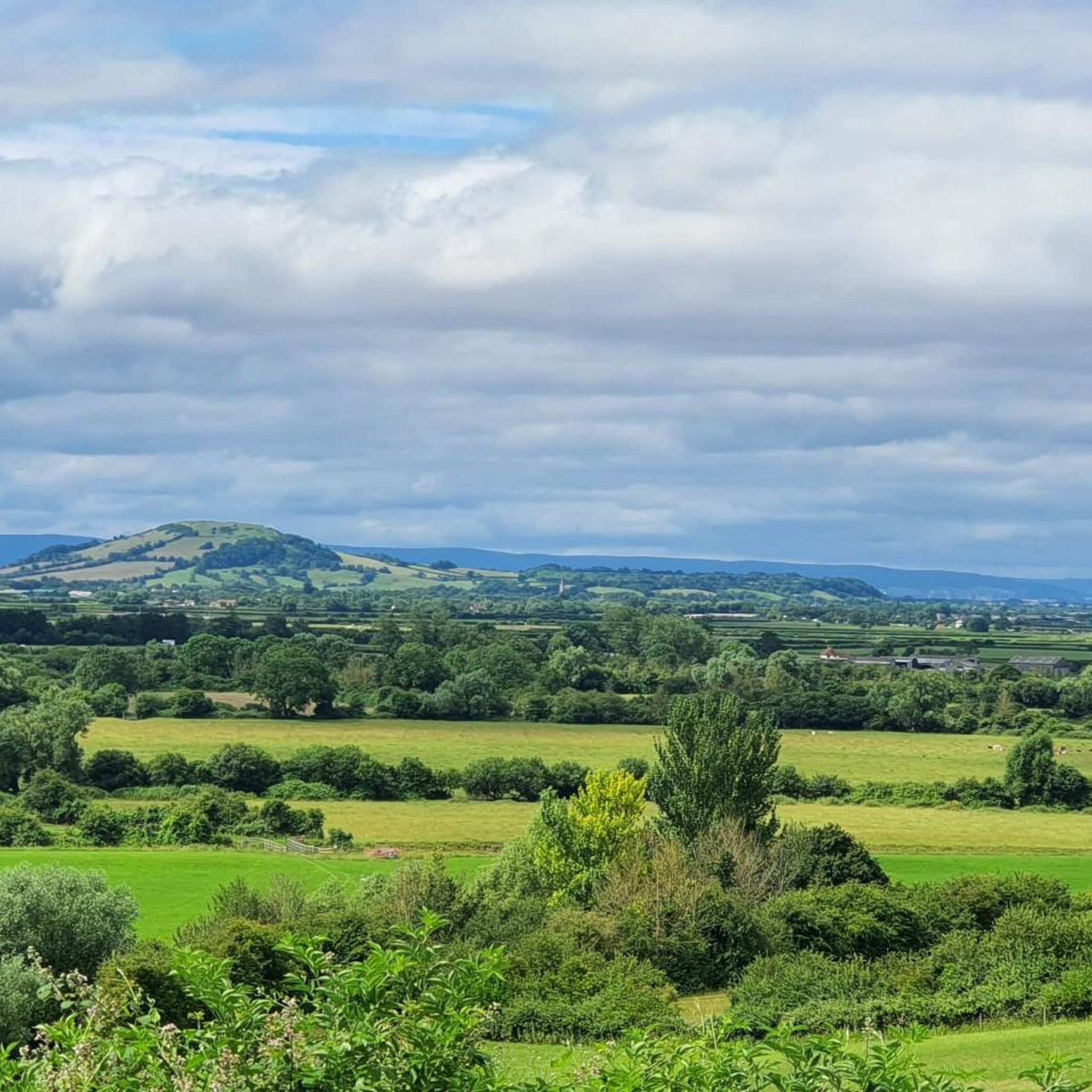
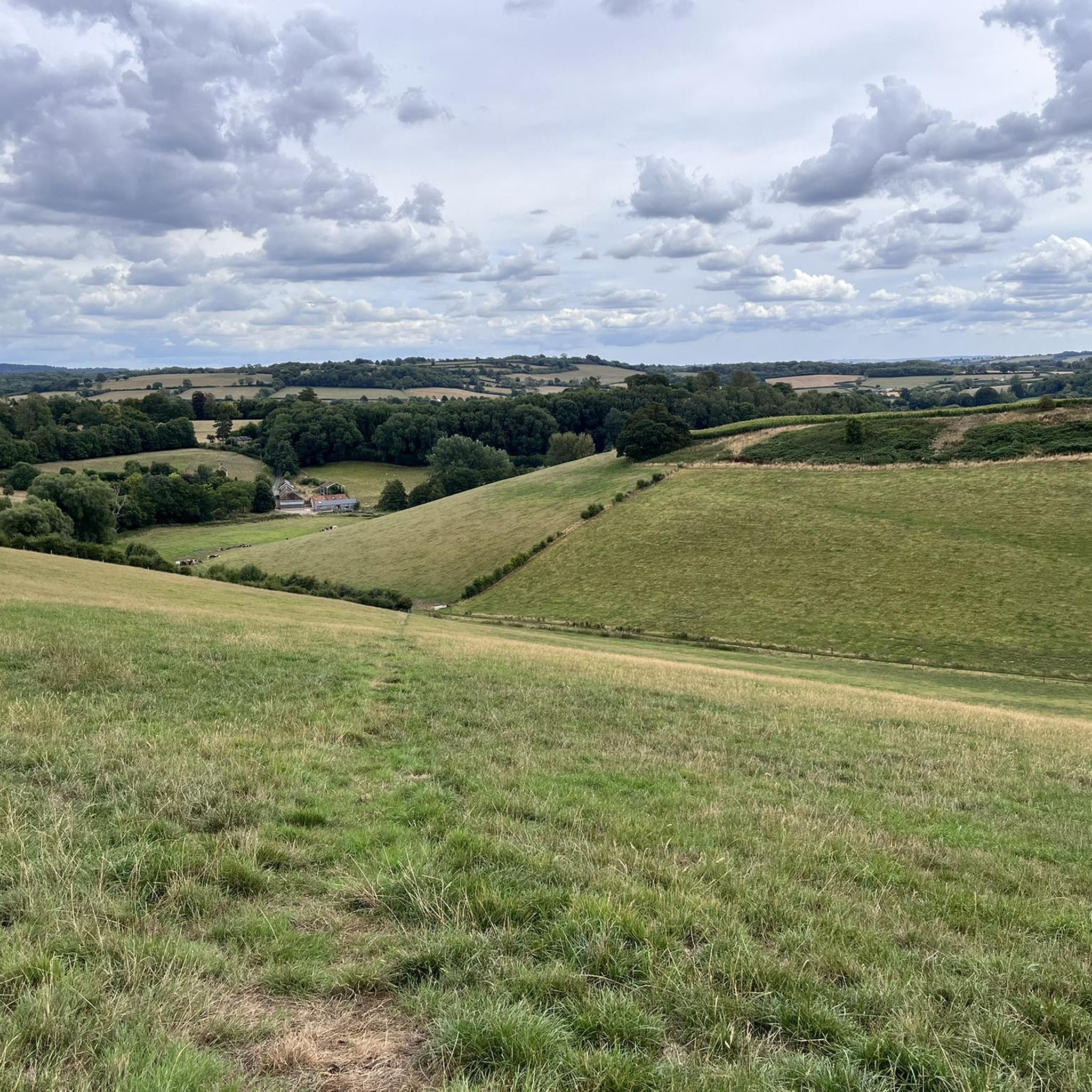
Hikes around Cranmore explore the Somerset countryside, part of the Mendip Hills area. The landscape is characterized by a patchwork of fields, woodlands, and gentle hills. Trails in the region often follow the River Alham or lead through shaded forests, offering a variety of rural scenery.
Best hiking trails around Cranmore
- The most popular hiking route is Cranmore Tower and Café loop from Cranmore, a 5.4 mile (8.8 km) trail that takes about 2 hours 25 minutes to complete.…
Last updated: November 1, 2026
4.4
(5)
17
hikers
9.04km
02:29
150m
150m
Moderate hike. Good fitness required. Easily walkable paths.
4.0
(2)
5
hikers
11.0km
03:01
180m
180m
Moderate hike. Good fitness required. Easily walkable paths.

3
hikers
6.21km
01:43
110m
110m
Easy hike. Easily walkable paths.
5
hikers
Moderate hike. Good fitness required. Easily walkable paths.
4.0
(1)
5
hikers
Easy hike. Easily walkable paths.
Get access to more routes and recommendations from other explorers.
Already have an account?
Our route recommendations are based on thousands of hikes, rides, and runs completed by other people on komoot.
Start today with a free account
Your next adventure awaits.

Tips from the Community

Built in 1860, this folly rises imperiously out of woodland on the edge of the Mendip Hills. The tower of sometimes open to the public and it's worth hiking to the top if possible, for the views are lovely, particularly to the south, across the Somerset Levels. There's a cafe at the base.
0
0

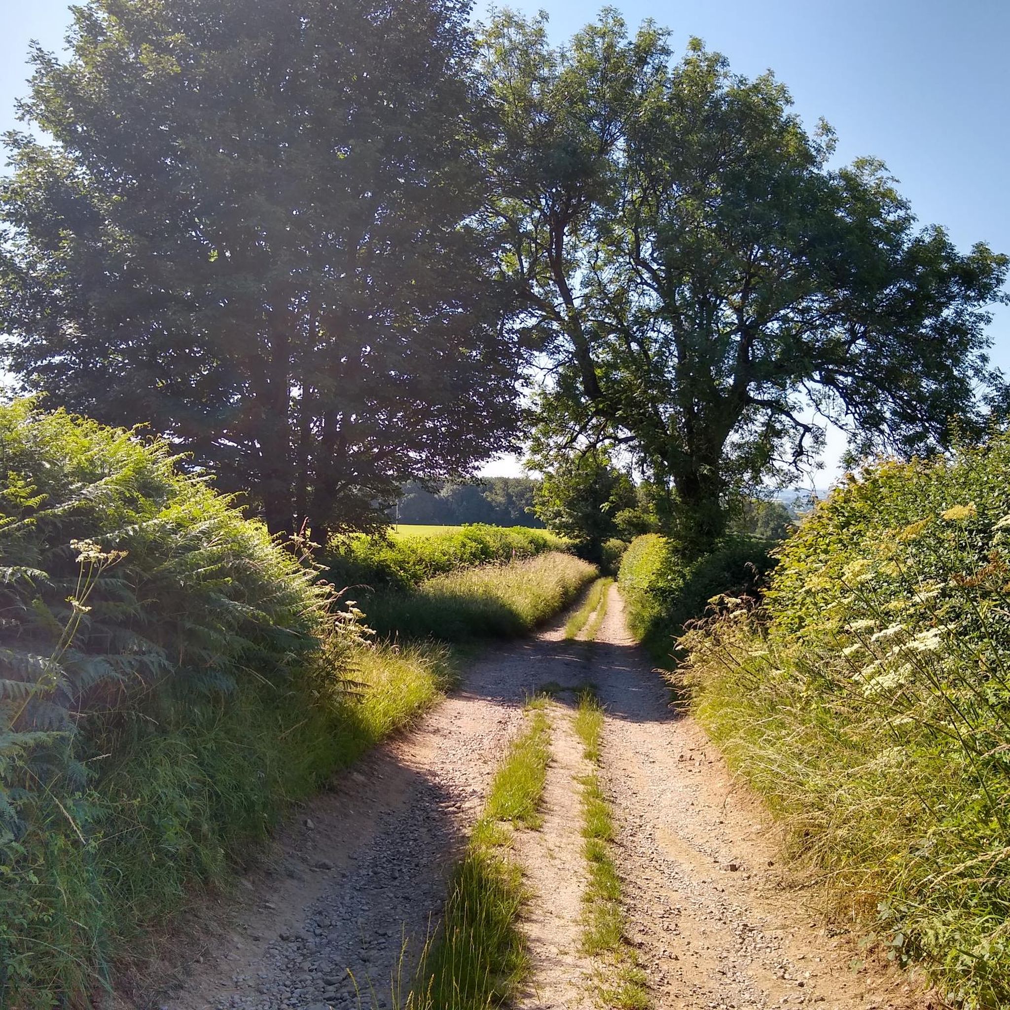
Wide Gravel Lane. Lots of rocky puddles following rain
0
0

Hardpack single track that joins you back on to the road.
0
0
A great alternative to the road this wide gravel road is beautiful and takes you alongside the lake- further, along the trail, there is a safe railway crossing then the path narrows but is still rideable.
0
0

A really beautiful part of singletrack that weaves down towards Dean. Ride this in North -> South direction.
1
0

Cafe and tower are open to public at certain times of year. Check before travelling
2
0

Cake? Coffee? Toilets? Yes, yes and yes. A great rest stop. https://eastsomersetrailway.com/
2
1
Frequently Asked Questions
What is the hiking like around Cranmore?
Hiking in the Cranmore area explores the Somerset countryside, which is part of the Mendip Hills. The landscape is defined by a patchwork of fields, quiet woodlands, and gentle, rolling hills. Many trails follow the River Alham or lead to local landmarks, offering a variety of rural scenery.
How many hiking trails are there in the Cranmore area?
There are just under 200 routes to explore around Cranmore. The trails are almost evenly split between easy and moderate difficulty, with a few challenging options for those seeking a longer day out.
Are there any easy, family-friendly hikes near Cranmore?
Yes, the area is well-suited for families. About half of the trails are rated as easy, typically involving gentle hills and well-defined paths through fields and woods. These routes are perfect for a relaxed day out with children.
What do other hikers think of the trails around Cranmore?
The trails are highly regarded by the komoot community, with an average rating of 4.5 out of 5 stars. Hikers often praise the peaceful atmosphere, the beautiful rural scenery, and the mix of woodland and open field paths.
Are there any circular walks available?
Yes, many of the most popular routes in the area are circular, or 'loop', trails. These allow you to start and finish in the same place without retracing your steps. For a longer loop, consider the Charlton Viaduct loop from Shepton Mallet, which is a moderate 16 km hike.
Can I see Cranmore Tower on a hike?
Absolutely. Cranmore Tower is a prominent local landmark and a key feature of several hikes. For a longer walk that includes this sight, you could try the Cranmore Tower – Cranmore Tower and Café loop from Cranmore, which is a moderate 10.6 km route.
What are the trail conditions like?
Trails around Cranmore are a mix of woodland tracks, public footpaths across fields, and quiet country lanes. After rain, paths, particularly those across fields, can become muddy, so waterproof hiking shoes are recommended.
Are the trails suitable for dog walking?
Yes, the rural paths are great for walking with dogs. However, many routes cross fields that may contain livestock. It is essential to keep your dog on a lead and under control in these areas.
What is the best time of year to hike in Cranmore?
You can hike in Cranmore year-round. Spring and summer offer lush green landscapes and pleasant weather. Autumn provides beautiful colours in the woodlands. Winter hiking can be rewarding on crisp, clear days, but be prepared for colder temperatures and muddier trails.
Are there any challenging hikes in the area?
While most trails are easy or moderate, there are a few difficult routes available. These are typically longer in distance with more significant elevation gain, offering a good challenge for experienced hikers looking to spend most of the day on the trail.
Can I get to the trailheads using public transport?
Accessing trailheads directly via public transport can be challenging in this rural part of Somerset. Some larger nearby towns like Shepton Mallet may have bus services, but reaching specific trail starting points often requires a car.
Most popular attractions around Cranmore

Get inspired with the komoot mobile app


Explore more
Browse the best Hikes in other regions.
