The best walks and hikes around Welwick
4.4
(139)
2,327
hikers
34
hikes
Hiking around Welwick offers diverse landscapes, from coastal paths to views of the Humber Estuary. The region features easily accessible trails suitable for various fitness levels, with some moderate options. Terrain includes flat coastal sections and gentle inclines, providing a mix of environments for outdoor exploration. The area is characterized by its proximity to the North Sea and the expansive estuary, offering unique natural features.
Best hiking trails around Welwick
- The most popular hiking route is Withernsea Lighthouse loop from…
Last updated: August 4, 2026
23
hikers
6.41km
01:38
20m
20m
Easy hike. Great for any fitness level. Easily-accessible paths. Suitable for all skill levels.
5.0
(4)
32
hikers
4.39km
01:07
20m
20m
Easy hike. Great for any fitness level. Easily-accessible paths. Suitable for all skill levels.

Sign up for free
4.5
(2)
8
hikers
9.03km
02:18
20m
20m
Moderate hike. Good fitness required. Easily-accessible paths. Suitable for all skill levels.
6
hikers
Moderate hike. Good fitness required. Easily-accessible paths. Suitable for all skill levels.
3.7
(3)
7
hikers
Easy hike. Great for any fitness level. Easily-accessible paths. Suitable for all skill levels.
Get access to more routes and recommendations from other explorers.
Sign up for free
Already have an account?
Our route recommendations are based on thousands of hikes, rides, and runs completed by other people on komoot.
Start today with a free account
Your next adventure awaits.
Login or Signup
Tips from the Community


You can't go much further south on the Holderness peninsula than Easington (if you do, you'll get wet). The church dates to the Norman period, with a 12th-century north aisle and 13th-century south aisle. There are a 14th-century clerestory and west tower, and a 15th-century chancel. Set into the wall of the north aisle is a lovely Early English doorway that may have been brought here from Birstall (Burstall) Priory, perhaps when that monastery sank into the Humber River due to erosion. Some of the north nave windows are made using Saxon grave slabs and evidence of the Saxon carvings can easily be seen.
1
0
Easy to miss, hiding behind a fence on the east side of the track.
1
0
The World War I early warning acoustic mirror 335m north east of Kilnsea Grange is one of only four known surviving examples in the north east of England, and the only known example in the country that still retains its sounding column. The device survives well and makes a significant contribution to the study of early 20th century defences in England. At their most sophisticated, the devices could identify the sounds of surface vessels or aircraft up to 25 miles (c40km) away.
2
0
Kilnsea Wetlands is intended to provide refuge for passage and wintering roosting waders that leave the adjacent Humber mudflats at high tide to roost. Plenty of birdwatchers around, although some of the pools were dry when I visited in November.
2
0

The Sound Mirror is the forerunner of radar and was intended to provide early warning of incoming enemy airships and aircraft.
1
0

The new Withernsea pier: technological feat and popular success Despite some damage during its construction, the 1,196-feet-long pier was completed by August 1877. Built entirely out of iron, except for the brick entrance and wooden decking, the pier used the new technology of screw piles, which were driven deep into the ground. Seating was provided along the full length of the pier and a saloon and hall for entertainment was situated at the pier head. The entrance to the pier consisted of two castellated towers, rumoured to be based on Conwy Castle in Wales. Storm damage and tragic loss of life On 28 October 1880, a devastating storm erupted which caused damage to many of Yorkshire’s piers. Withernsea Pier suffered twice when it was hit by two storm-damaged vessels. T The second vessel to hit the pier was the brig Saffron, which tore a 200-foot hole through its centre before coming to rest nearby. The Saffron had been part of a flotilla of ships which had set out from the Humber, journeying northwards. Around Flamborough Head, the wind increased rapidly to a storm force gale. The fleet was at the mercy of the elements. The pier had only just been repaired when it was damaged again on 28 March 1882, the pier head being destroyed along with the saloon above it. The pier was not repaired, but the remaining sections continued in use. The series of disasters was relentless, and on 20 October 1890, the Grimsby fishing smack Genesta hit the pier, destroying over half its length and leaving just over 300 feet remaining. Two years later even this was destroyed, when another vessel, the Henry Parr (formerly the Dido) rammed into it at the height of another storm. The remains of Withernsea pier: a landmark and memorial The history of the pier at Withernsea is both tragic and yet in some ways inspiring. The two entrance towers have survived all the devastation around them. They are a well-loved landmark in the town, even if many visitors are totally unaware that they once formed a part of a pier. They also act as a memorial to those sailors who perished in the seas around it.
0
0
Information board and photographs depicting some of Withernsea‘s Past
0
0
Frequently Asked Questions
How many hiking trails are available around Welwick?
There are over 35 hiking routes around Welwick, offering a variety of experiences for different skill levels. You'll find a good mix of easy strolls and moderate excursions.
What kind of terrain can I expect on hikes near Welwick?
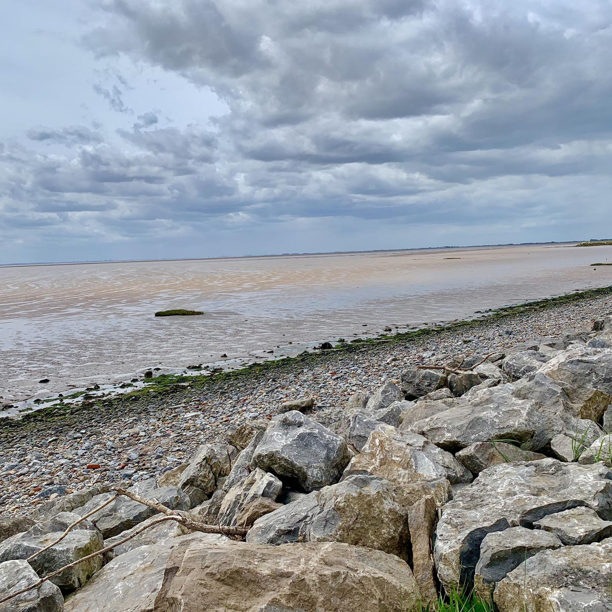
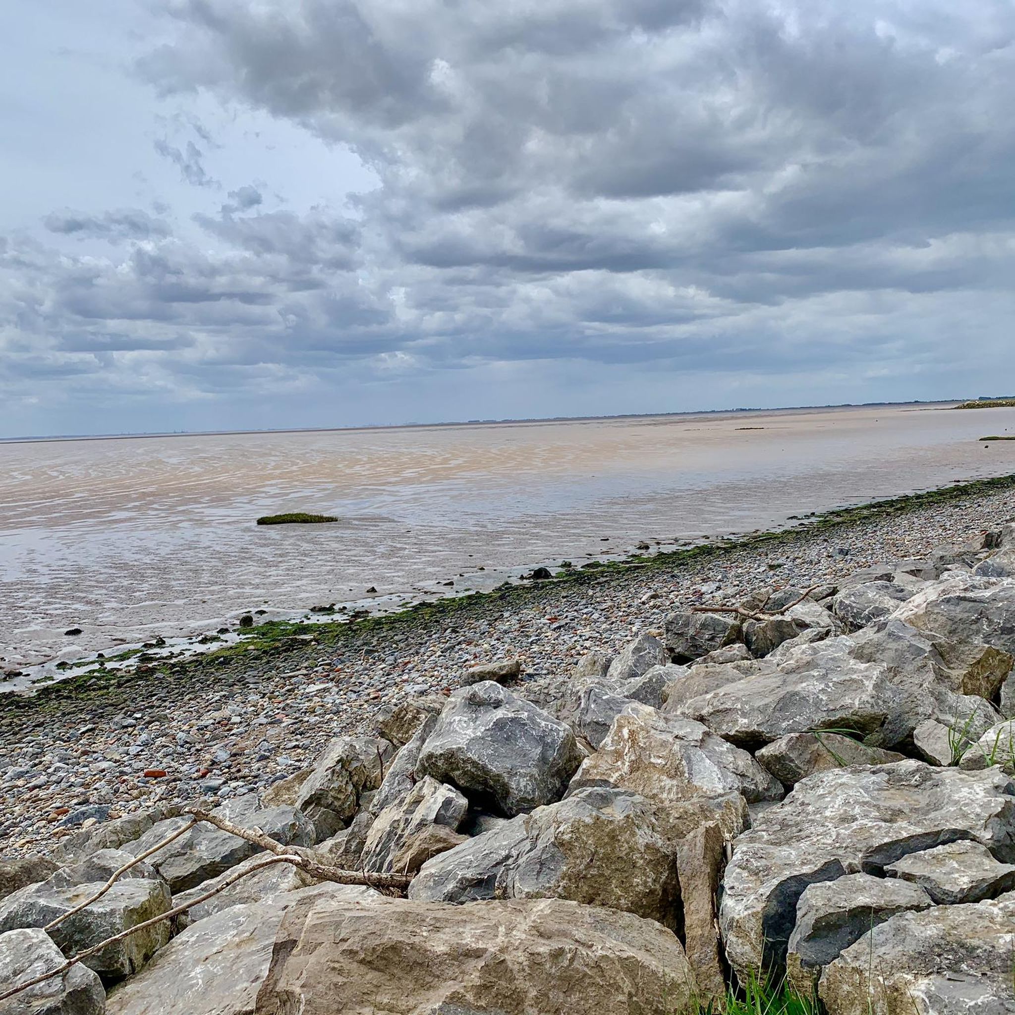
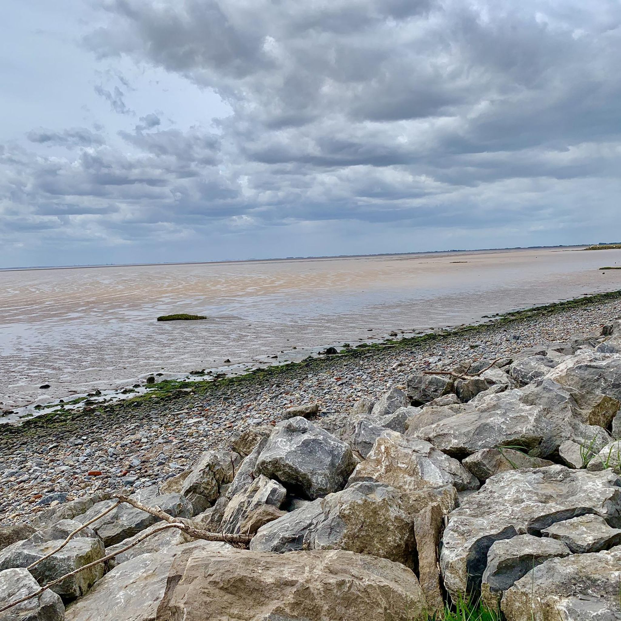
The terrain around Welwick is quite varied. You can expect coastal paths with refreshing sea air, expansive views of the Humber Estuary, and sections near Mappleton Beach. The trails generally feature easily accessible paths, with some gentle inclines on moderate routes.
Are there any circular walks in the Welwick area?
Yes, many of the hiking routes around Welwick are circular, allowing you to start and end in the same location. For example, the Withernsea Lighthouse loop from Withernsea is a popular circular option.
What are some notable landmarks or points of interest I can see while hiking?
Hikers can discover several interesting points. The Withernsea Lighthouse loop from Withernsea offers views of this prominent local landmark. Another unique feature is the Greenwich Meridian Marker, which you can find on the Greenwich Meridian Marker – Patrington Trig Point loop from Patrington. For estuary views, consider the View of the Humber Estuary – Lockham Trig Point (S2456) loop from Easington.
Are there easy trails suitable for families or beginners?
Absolutely. Over 20 of the trails around Welwick are rated as easy, making them ideal for families or those new to hiking. These routes typically have minimal elevation gain and well-maintained paths.
Can I bring my dog on the hiking trails around Welwick?
Most public footpaths and trails in the Welwick area are dog-friendly, provided dogs are kept under control, especially near livestock. Always be mindful of local signage and keep your dog on a lead where required.
What do other hikers say about the trails in Welwick?
The hiking routes around Welwick are highly regarded by the komoot community, holding an average rating of 4.4 stars from over 100 reviews. Hikers often praise the diverse landscapes, from coastal views to estuary vistas, and the accessibility of the paths.
Are there any moderate hiking options for those looking for a bit more challenge?
Yes, there are 14 moderate trails available for hikers seeking a slightly more challenging experience. These routes might include longer distances or more varied terrain, such as the Mappleton Beach – Hollywood loop from Withernsea.
What is the best time of year to go hiking in Welwick?
Welwick offers enjoyable hiking throughout much of the year. Spring and summer provide pleasant weather for coastal walks and exploring the varied terrain. Autumn brings beautiful colours, while winter hikes can be refreshing, though some coastal paths might be exposed to winds.
Are there any trails that offer views of the Humber Estuary?
Yes, the Humber Estuary is a significant natural feature in the region. The View of the Humber Estuary – Lockham Trig Point (S2456) loop from Easington is specifically designed to showcase these expansive views, including a trig point.
Are there places to eat or drink near the hiking routes?
Many villages and towns near the hiking routes, such as Withernsea and Patrington, offer local pubs and cafes where you can refresh yourself before or after your hike. It's always a good idea to check opening times in advance.
Most popular routes around Welwick
Most popular attractions around Welwick

Get inspired with the komoot mobile app


Explore more
Browse the best Hikes in other regions.
