The best road cycling routes around High Ham
4.7
(109)
5,631
riders
342
rides
Road cycling routes around High Ham traverse a landscape characterized by rural lanes, open countryside, and gentle undulations. The region offers a mix of flatter sections across the Somerset Levels and more challenging climbs on the surrounding hills. Road cyclists can expect to encounter a network of quiet roads connecting small villages and agricultural land.
Best road cycling routes around High Ham
- The most popular road cycling route is Little Bakery loop from Langport, a 14.4 miles (23.2 km)…
Last updated: November 1, 2026
107
riders
23.5km
01:04
220m
220m
Easy road ride. Mostly well-paved surfaces and easy to ride.
4.0
(1)
46
riders
84.4km
04:10
840m
840m
Moderate road ride. Good fitness required. Some segments of this route may be unpaved and difficult to ride.

5.0
(1)
56
riders
22.6km
00:55
100m
100m
Easy road ride. Mostly well-paved surfaces and easy to ride.
47
riders
Easy road ride. Mostly well-paved surfaces and easy to ride.
5.0
(1)
34
riders
22.3km
01:00
140m
140m
Easy road ride. Mostly well-paved surfaces and easy to ride.
Get access to more routes and recommendations from other explorers.
Already have an account?
Our route recommendations are based on thousands of hikes, rides, and runs completed by other people on komoot.
Start today with a free account
Your next adventure awaits.
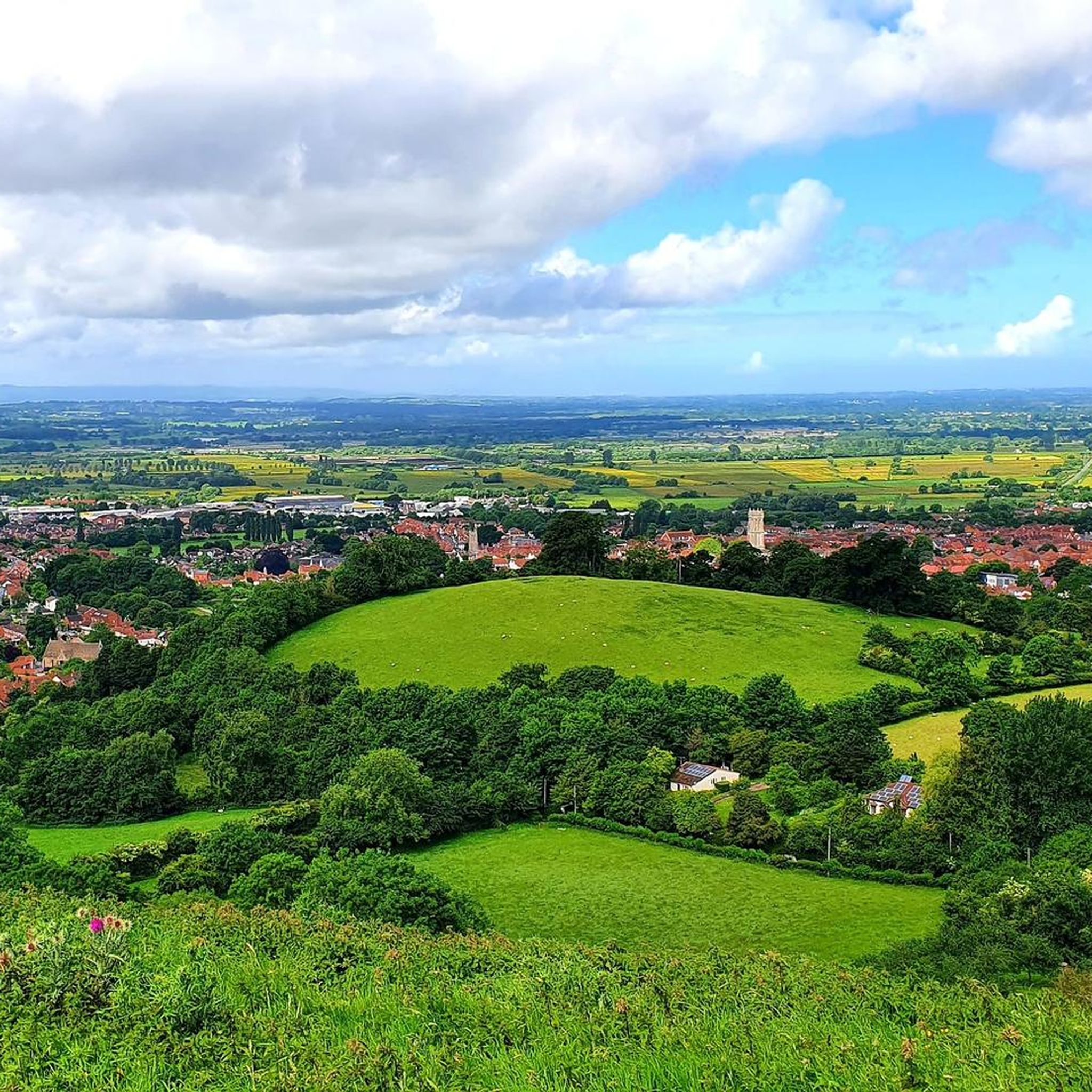

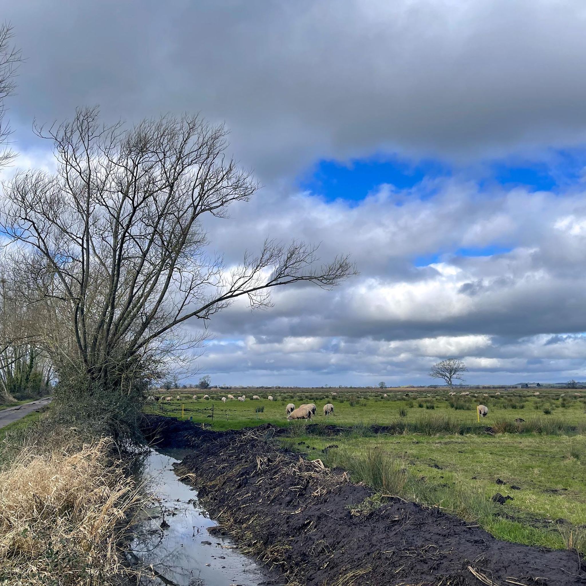
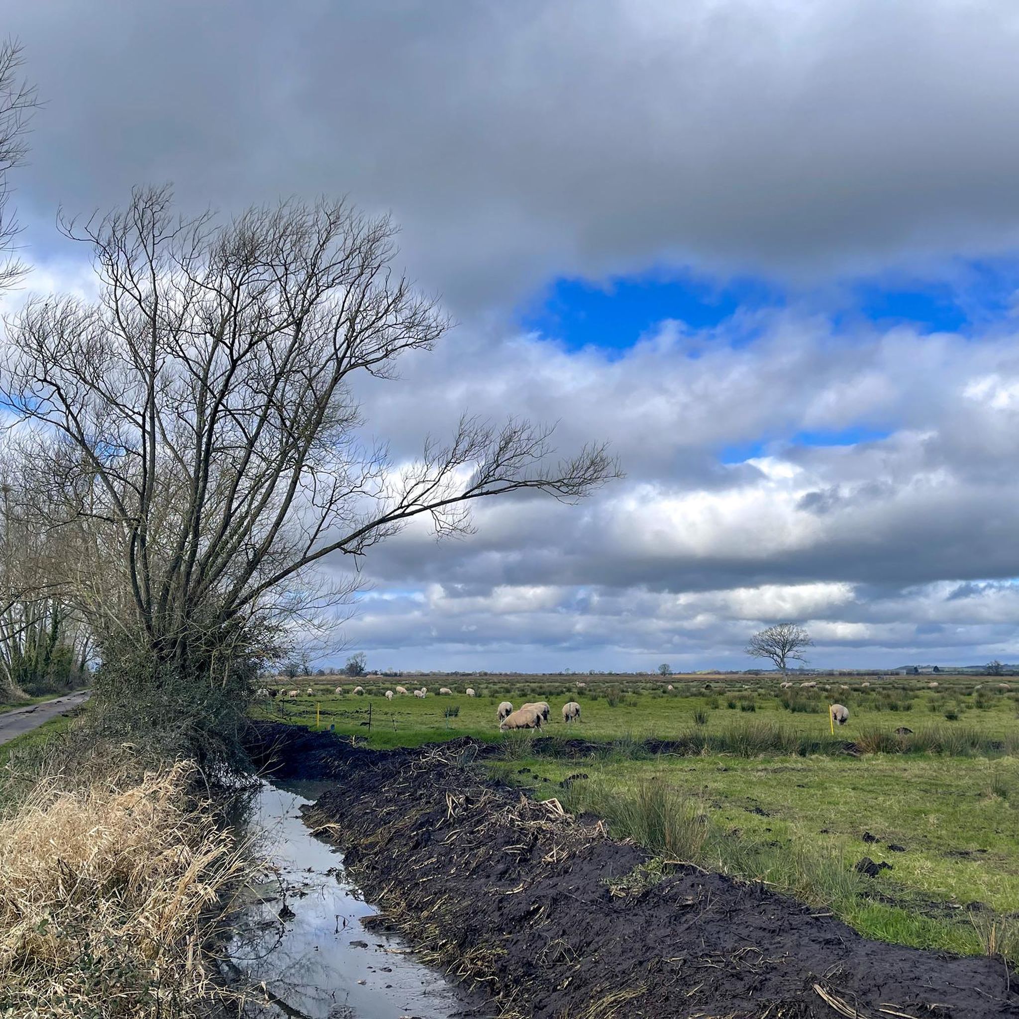
Tips from the Community

There's a lovely bench in the churchyard, directly in front of the magnificent tower. A lovely spot for a picnic in the sunshine!
0
0

Originally a Saxon cathedral, Sherborne Abbey is a golden-stoned masterpiece of Perpendicular Gothic architecture. Its claim to fame is the fan vaulting—arguably the earliest and most spectacular in England—which spreads across the ceiling like delicate stone lace. The Abbey has survived fires (started by a bickering abbot and townspeople in 1437), the Dissolution of the Monasteries, and the test of time. Inside, you’ll find the tombs of West Saxon kings and the stunning Great West Window. It remains a living "lantern" of Dorset, glowing with honey-colored Hamstone and a quiet, ancient majesty that defines the town.
1
0

Great breakfast and coffee.
0
0

I always make time to pop in on my walks in this area as it is wonderfully calming and peaceful. I like to just sit and marvel at the talent of the architecture.
0
0


Be patient at busy times.
0
0

can get busy but plenty of seats inside and out lovely walk or ride along the river
0
0

The vanquishing of a royalist army in the south-west by the New Model Army further reduced the King's military capabilities and hastened his ultimate defeat. The New Model Army approached the small town of Langport from the east. It was a key bridging point where the major road from Somerton passed between two large areas of wet moorland. This was a logical place for the royalists to make a stand, or at least to try to hold up the parliamentarians in order to enable retreat, via Sedgemoor, to the port of Brridgewater. Goring sent his baggage and artillery ahead towards the port, keeping only two pieces of ordnance with the army. He then turned and marched out to the east of Langport, to face the parliamentarian army. Though he held a strong position, on high ground controlling the roads that approached the town from the east, his forces were still outnumbered and outgunned and were soon defeated. Although the royalist army was not destroyed at Langport, the defeat was to have a significant effect upon troop morale. As Goring admitted: 'the consequences of this blow is very much for there is so great terror and dejection amongst our men that I am confident at this present they could not be brought to fight against half their number’. Bridgwater fell soon after, isolating the remaining royalist garrisons in the West Country. Three alternative locations have been suggested for the battle along the Wagg Rhyne. Archaeological research by the Battlefields Trust in 2021 and 2023 indicates that the location of the battle is that registered by Historic England on either side of the B3153. The reports of these metal detecting surveys are available for download in the File Download section on the left of this webpage. Most of the landscape here is still agricultural but there has been some development, especially on the southern site, while there is continuing small scale erosion of the battlefield by small scale development right across this landscape. There is no on site interpretation or monument at the registered battlefield site, though an information board is located at Huish Episcopi on the A372. The Wagg Drove is a quiet narrow lane with verges running a little to the side of the Rhyne, giving public access across part of the battlefield. Furpits Lane, where there is some limited parking and public footpaths south east of Hamdown House and the Wagg Rhyne also enable the battlefield to be explored. The B3153 is a very busy, fast road with no verges. Although it is possible approach the point where the road crosses the Rhyne by walking along the Wagg Drove, it is not recommended to attempt to walk along the main road itself. A leaflet describing a battlefield walk at Langport can be downloaded from the panel on the left. https://www.battlefieldstrust.com/resource-centre/battleview.asp?BattleFieldId=20
0
0
Frequently Asked Questions
How many road cycling routes are available around High Ham?
There are over 360 road cycling routes available around High Ham, catering to various skill levels from easy spins to more challenging rides.
Are there easy or family-friendly road cycling routes in High Ham?
Yes, High Ham offers numerous easy routes suitable for beginners or families. The Little Bakery loop from Langport and the Little Bakery – Church of All Saints, Langport loop from Langport are popular choices, featuring gentle gradients and quiet village roads.
What is the typical length of road cycling routes in High Ham?
Route lengths vary widely. You can find shorter, easy loops around 14-15 miles (22-24 km), such as the The Royal Oak Shop & Café – North Curry Community Café loop from Langport. For more experienced cyclists, routes like the Hollow Lane – Sherborne Abbey loop from Langport extend to over 50 miles (80 km).
Are there challenging road cycling routes for advanced cyclists in High Ham?
Yes, for advanced cyclists seeking a challenge, routes like the Crowcombe Hill Climb – Scenic Country Road loop from Langport offer significant elevation gain and longer distances, providing a demanding ride through the region's rolling countryside.
What is the best season for road cycling in High Ham?
The best season for road cycling in High Ham is generally spring through autumn. During these months, the weather is typically more favorable, and the rural lanes and open countryside are at their most scenic. Summer offers longer daylight hours, while spring and autumn provide pleasant temperatures.
What kind of terrain can I expect on road cycling routes around High Ham?
Road cycling routes around High Ham feature a mix of terrain. You'll find flatter sections across the Somerset Levels, ideal for steady cruising, alongside more challenging climbs on the surrounding hills. The routes primarily use quiet rural lanes connecting small villages and agricultural land.
Are there scenic road cycling routes in High Ham?
Many routes in High Ham are highly scenic, winding through open countryside, past agricultural fields, and through charming villages. The region's character, with its gentle undulations and rural landscapes, makes for picturesque rides.
What are some interesting landmarks or attractions I can see along road cycling routes in High Ham?
While cycling, you can explore various natural and historical points of interest. Nearby attractions include the Shapwick Heath National Nature Reserve, the expansive Somerset Levels Wetlands, and the iconic Glastonbury Tor, which offers panoramic views.
Are there circular road cycling routes available in High Ham?
Yes, the majority of road cycling routes in High Ham are circular, designed to start and end in the same location, often from nearby towns like Langport. This makes planning your ride and return convenient.
What do other road cyclists enjoy most about cycling in High Ham?
The area is highly rated by the komoot community, with an average score of 4.7 stars from over 100 reviews. Reviewers often praise the quiet rural lanes, the varied terrain offering both flat sections and gentle climbs, and the scenic beauty of the Somerset countryside.
Are there options for less crowded road biking routes in High Ham?
High Ham is known for its network of quiet rural lanes, making it an excellent destination for those seeking less crowded cycling experiences. Many routes traverse agricultural areas and small villages, offering a peaceful ride away from heavy traffic.
Most popular attractions around High Ham

Get inspired with the komoot mobile app


Explore more
Browse the best Road cycling routes in other regions.
