The best walks and hikes around Martock
4.3
(371)
2,360
hikers
20
hikes
Hiking around Martock offers a network of trails primarily characterized by low-lying agricultural land, river paths, and gentle slopes. The region features historic villages and views towards local landmarks such as Ham Hill. Most routes have minimal elevation gain, making them accessible for various fitness levels. The landscape provides a mix of open fields and rural pathways.
Best hiking trails around Martock
- The most popular hiking route is View of Ham Hill – The Masons Arms loop from South Somerset…
Last updated: July 22, 2026
5.0
(1)
10
hikers
5.07km
01:17
10m
10m
Easy hike. Great for any fitness level. Easily-accessible paths. Suitable for all skill levels.
5
hikers
25.8km
06:30
30m
30m
Hard hike. Very good fitness required. Easily-accessible paths. Suitable for all skill levels.

Sign up for free
6
hikers
5.51km
01:26
30m
30m
Easy hike. Great for any fitness level. Easily-accessible paths. Suitable for all skill levels.
7
hikers
Easy hike. Great for any fitness level. Easily-accessible paths. Suitable for all skill levels.
5
hikers
10.5km
02:39
20m
20m
Moderate hike. Good fitness required. Easily-accessible paths. Suitable for all skill levels.
Get access to more routes and recommendations from other explorers.
Sign up for free
Already have an account?
Our route recommendations are based on thousands of hikes, rides, and runs completed by other people on komoot.
Start today with a free account
Your next adventure awaits.
Login or Signup
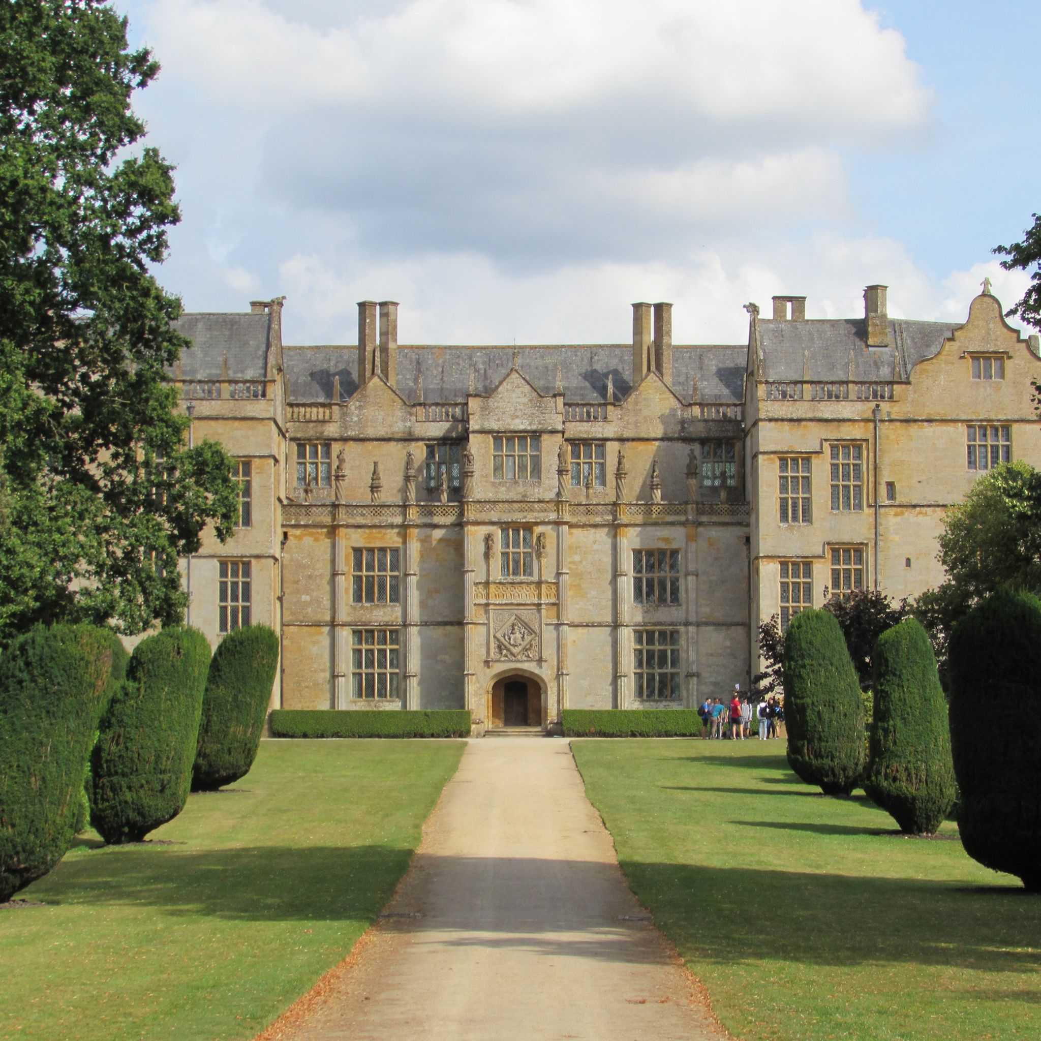
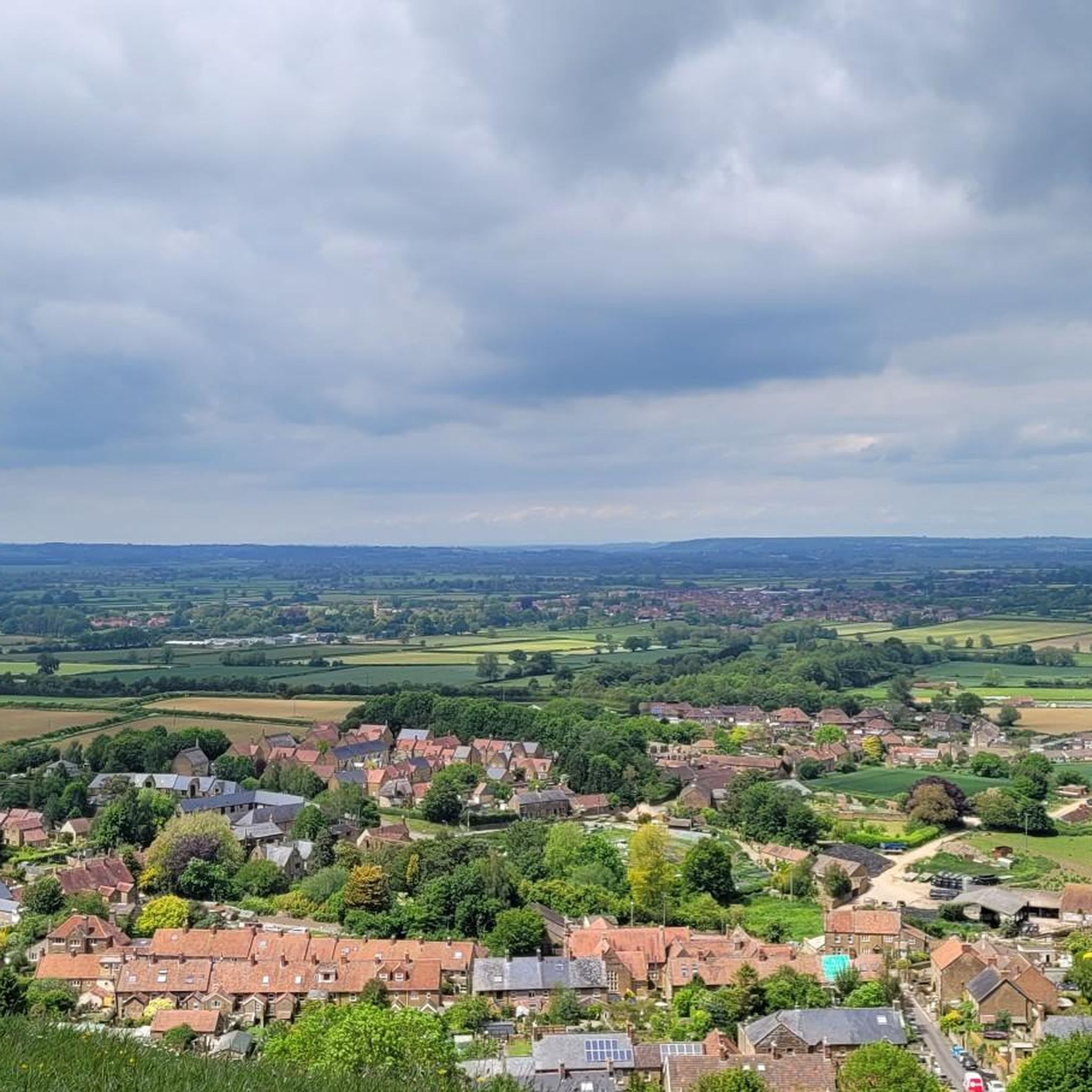
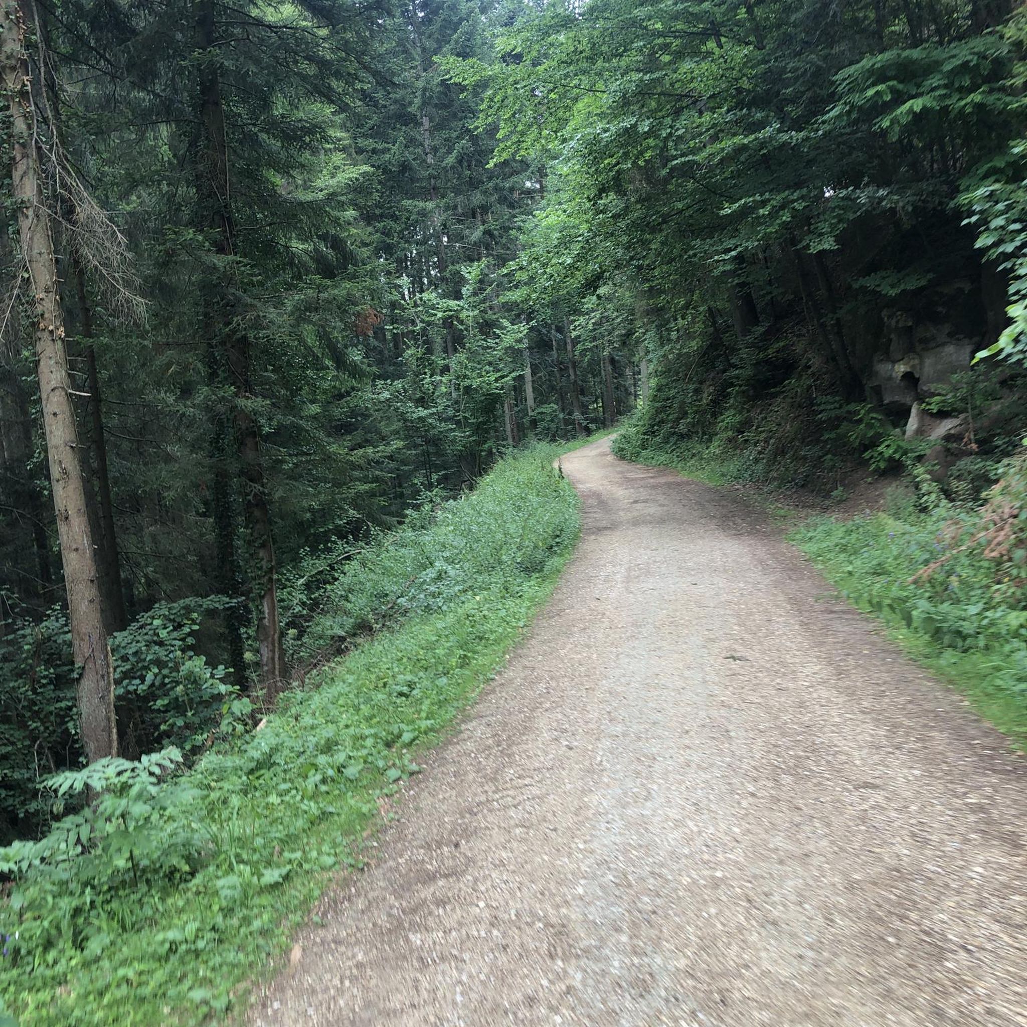
Tips from the Community

Southmoor Pumping Station is a historic pumping station located in Somerset, England, primarily designed for land drainage. It is part of the complex network of pumping stations and drainage systems that manage water levels in the Somerset Levels, an area prone to flooding due to its low-lying position.
0
0


Beautiful walk across West Moor to Midelney Pump Station with views across to Muchelney and Hambridge
0
0

Closed due to pumping, bridge fenced off
2
0
Dating back to 18c, demolished in 20c. This is all that is left
0
0
Madey Mill in East Street is mentioned in the Doomsday Book of 1086, but little is known about the house until 1592, when records show that it was owned by the Gould family, who remained in occupation until the mill passed to the Lord of the Manor. In 1717 it was sold to Thomas Hopkins, a member of a prominent milling family, and was described in the deed of sale as ‘a water and malt mill’ By 1807 it had passed to Jesse Hopkins, and in 1865 to Culliford Hopkins, when it comprised a ‘boiler house, bakehouse and water wheel’. The 17th century mill building still has much of its machinery inside, including a 3m overshot wheel made by Sparrows of Martock. It has a long mill leet to feed this high wheel, which a public footpath follows for some distance. The traditional farm buildings are still used for dairying. Source: www.martock.co.uk
0
0
Frequently Asked Questions
How many hiking trails are available around Martock?
Martock offers a diverse network of over 20 hiking trails. These routes primarily feature low-lying agricultural land, river paths, and gentle slopes, suitable for various fitness levels.
Are there easy hiking trails suitable for beginners or families in Martock?
Yes, Martock is very beginner and family-friendly, with 16 out of 23 routes rated as easy. These trails typically have minimal elevation gain, making them accessible. A good option is the View of Ham Hill – Thorney Mill (Silent Mill) loop from South Somerset, which is an easy 7.8 km path.
What kind of scenery can I expect on hikes around Martock?
The landscape around Martock is characterized by open fields, rural pathways, and river paths. You'll often encounter historic villages and enjoy views towards local landmarks like Ham Hill. The region's gentle slopes and agricultural setting provide a peaceful, scenic experience.
Are there any circular walks in the Martock area?
Many of the trails around Martock are circular, allowing you to start and end at the same point. For example, the Madey Mill – Alpacas Along the Footpath loop from Martock is an easy 5.5 km circular route that offers pleasant rural views.
Can I bring my dog on the hiking trails in Martock?
Many trails in Martock are suitable for dogs, but it's always recommended to keep them on a lead, especially when passing through agricultural land or near livestock. Check individual route descriptions on komoot for specific dog-friendly information and any local restrictions.
Are there any places to eat or drink along the hiking routes?
Yes, some routes pass by local pubs or cafes. For instance, the popular View of Ham Hill – The Masons Arms loop from South Somerset includes a pub, offering a convenient stop for refreshments during your hike.
What are some interesting landmarks or attractions to see while hiking near Martock?
You can explore several points of interest. Consider visiting Ham Hill War Memorial and Stone Circle, or the expansive Ham Hill Country Park. The historic Dillington House and St Vincent's Church, Ashington are also notable attractions in the vicinity.
Is there public transport access to hiking trailheads in Martock?
Martock is a village with local bus services that connect to nearby towns. While some trailheads might be accessible via public transport, it's advisable to check local bus routes and timetables in advance to plan your journey to specific starting points.
What do other hikers enjoy most about the trails in Martock?
The area is highly rated by the komoot community, with an average score of 4.4 stars from over 300 reviews. Reviewers often praise the peaceful rural scenery, the accessibility of the trails for all abilities, and the charm of passing through historic villages.
Are there any longer or more challenging hikes around Martock?
While most trails are easy, there is one difficult route for those seeking a longer challenge. The Thorney Mill (Silent Mill) – The Pump That Saved Langport loop from Martock is a 26 km trail that takes over 6 hours to complete, leading through extensive rural landscapes and along waterways.
Can I go wild swimming near Martock during a hike?
Yes, the region offers opportunities for wild swimming. The River Parrett is a known spot for wild swimming. Some hiking routes may pass close to suitable access points, but always prioritize safety and check local conditions before entering the water.
What is the best time of year to hike in Martock?
Martock's trails are enjoyable year-round. Spring brings blooming wildflowers, summer offers warm, long days, and autumn showcases beautiful foliage. Even winter walks can be pleasant, with the low-lying terrain generally avoiding heavy snow, though paths can be muddy.
Most popular routes around Martock
Most popular attractions around Martock

Get inspired with the komoot mobile app


Explore more
Browse the best Hikes in other regions.
