The best walks and hikes around Stoke St Gregory
4.3
(161)
1,389
hikers
125
hikes
Hiking around Stoke St Gregory offers diverse landscapes within the Somerset Levels, a unique wetland environment known for its flat, open areas and rich biodiversity. The region is characterized by prominent hills such as Burrow Mump and Windmill Hill, providing expansive views. Its location between the River Tone and West Sedgemoor contributes to picturesque settings and opportunities for riverside walks. Thurlbear Wood also provides varied terrain with bridleways and forest sections.
Best hiking trails around Stoke St Gregory
- The most popular hiking route is Burrow Mump & West Sedge Moor loop from Burrowbridge, a 15.3 miles (24.6 km) trail that takes 6 hours 27 minutes to complete. This difficult route explores the iconic Burrow Mump and the expansive West Sedgemoor.
- Another top favourite among local hikers is Maunsel Lock – Iron Railway Bridge loop from Lyng, an easy 3.4 miles (5.5 km) path. This route offers a gentle walk along the former railway line and canal.
- Local hikers also love the Red Hill loop from Stoke St. Gregory, a 15.0 miles (24.2 km) trail leading through varied terrain and offering panoramic views from areas like Windmill Hill, often completed in about 6 hours 23 minutes.
- Hiking around Stoke St Gregory is defined by wetland environments, riverside paths, and prominent hills offering scenic viewpoints. The network offers options for different ability levels, from easy strolls to more challenging long-distance routes.
- The routes in Stoke St Gregory are highly rated by the komoot community with an average score of 4.3 stars from over 140 reviews. More than 1,300 hikers have used komoot to explore Stoke St Gregory's varied terrain.
Last updated: July 22, 2026
7
hikers
24.6km
06:28
200m
200m
Hard hike. Very good fitness required. Easily-accessible paths. Suitable for all skill levels.
5.0
(1)
23
hikers
5.51km
01:24
20m
20m
Easy hike. Great for any fitness level. Easily-accessible paths. Suitable for all skill levels.

Sign up for free
5.0
(3)
18
hikers
Easy hike. Great for any fitness level. Easily-accessible paths. Suitable for all skill levels.
3.7
(3)
11
hikers
Moderate hike. Good fitness required. Easily-accessible paths. Suitable for all skill levels.
5.0
(1)
14
hikers
6.93km
01:45
10m
10m
Easy hike. Great for any fitness level. Easily-accessible paths. Suitable for all skill levels.
Get access to more routes and recommendations from other explorers.
Sign up for free
Already have an account?
Our route recommendations are based on thousands of hikes, rides, and runs completed by other people on komoot.
Start today with a free account
Your next adventure awaits.
Login or Signup

Tips from the Community

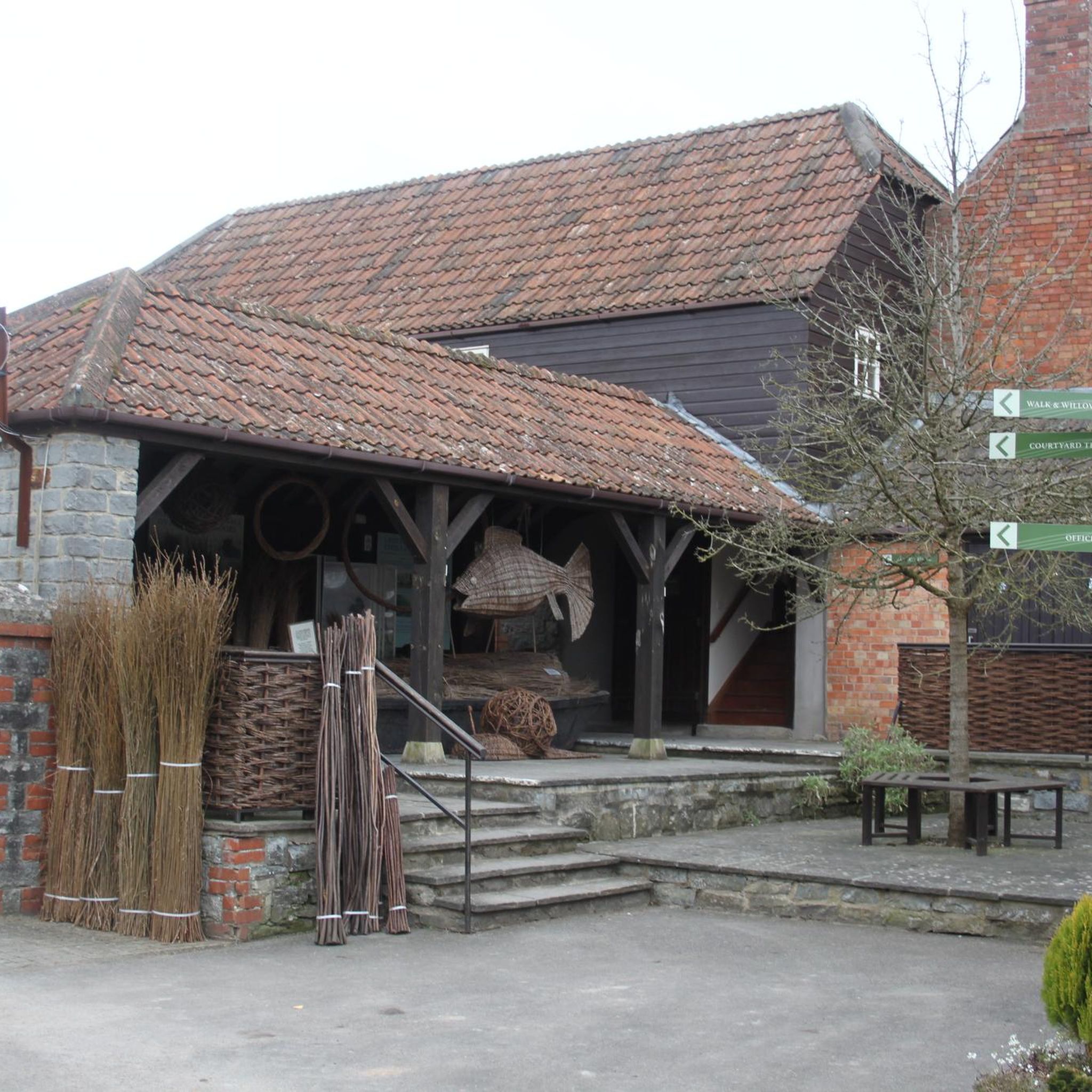
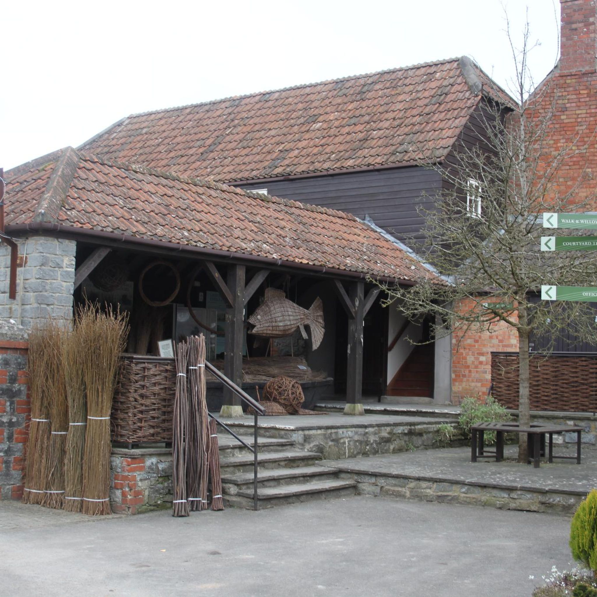
Shop items and coffee available 7 days a week. Open week days 7-5.30 and in the morning on weekdays. Nice garden to enjoy a coffee in the sun (or something stronger when the pub is open!)
0
0


Great view of the railway bridge and through the ironwork across the moorland
1
0
There is a tearoom / eatery called the Lock Inn on the left hand bank. Access over the bridge.
1
0

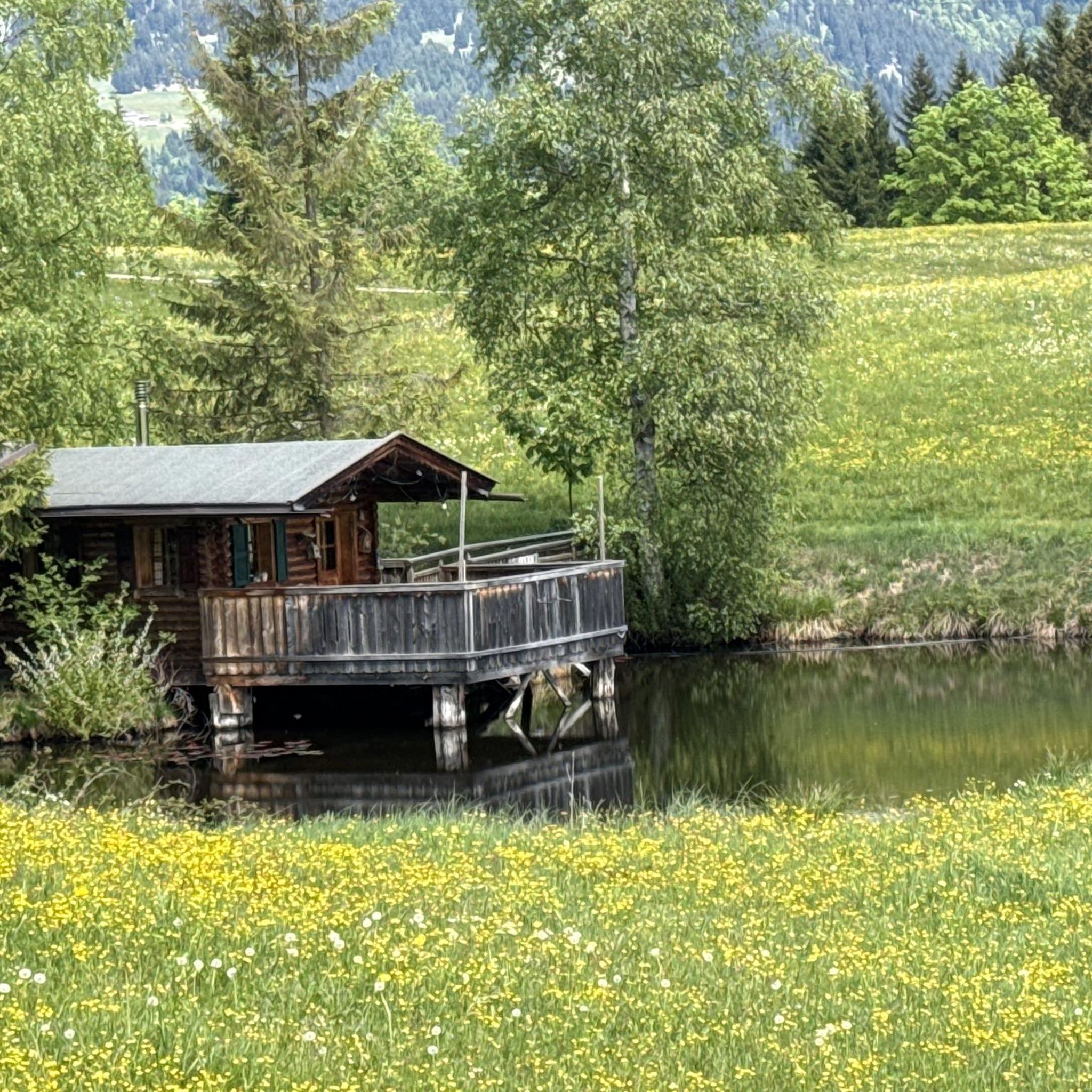
Great cafe, Good Coffee, Friendly, Indoor Outdoor Seating, also undercover seating, riverside view
0
0

Excellent food, either really good sandwiches or main meals. Very decent local beers and ciders. Well worth a detour but closed Monday and Tuesday
0
0
Frequently Asked Questions
How many hiking trails are available in Stoke St Gregory?
Stoke St Gregory offers a wide variety of hiking experiences, with over 130 routes documented on komoot. These range from easy strolls to more challenging long-distance trails, catering to different fitness levels.
What kind of terrain can I expect on hikes around Stoke St Gregory?
The terrain around Stoke St Gregory is diverse, characterized by the unique wetland environment of the Somerset Levels. You'll find flat, open landscapes, riverside paths along the River Tone, and prominent hills like Burrow Mump and Windmill Hill offering panoramic views. Woodland areas such as Thurlbear Wood also feature bridleways with varying surfaces, including gravel and forest floor sections.
Are there any easy hiking routes suitable for beginners or families?
Yes, there are many easy options. Approximately 75 of the routes in the area are classified as easy. A great choice is the Maunsel Lock – Iron Railway Bridge loop from Lyng, an easy 3.4-mile (5.5 km) path that offers a gentle walk along a former railway line and canal. Another accessible option is the Burrow Bridge and Toll Gate loop from Burrowbridge, which is 3 miles (4.87 km) long.
Can I find circular hiking routes in Stoke St Gregory?
Yes, many of the trails around Stoke St Gregory are circular, allowing you to start and end in the same location. For example, the challenging Burrow Mump & West Sedge Moor loop from Burrowbridge is a long circular route exploring the iconic Burrow Mump. For a moderate option, consider the Burrow Bridge and Toll Gate – Burrow Mump loop from Stoke St. Gregory.
Are there any prominent landmarks or viewpoints to see while hiking?
Absolutely. A major landmark is Burrow Mump, a prominent hill with a ruined church on its summit, offering expansive views across the Somerset Levels. Windmill Hill also provides panoramic vistas, often with information boards identifying landmarks. You can also explore Thurlbear Wood Bridleway for a different natural experience.
What are the best routes for experiencing the unique wetland environment of the Somerset Levels?
To truly experience the Somerset Levels, consider routes that traverse West Sedgemoor, an area of significant scientific interest. The Burrow Mump & West Sedge Moor loop from Burrowbridge is an excellent choice, as it directly explores this expansive wetland. The area's history of willow growing and basket making is also evident, particularly around the Coates English Willow & Wetlands Centre.
Are dogs allowed on the hiking trails in Stoke St Gregory?
Many trails in the Stoke St Gregory area are dog-friendly, but it's always recommended to keep dogs on a lead, especially when passing through farmland with livestock or sensitive wildlife areas like West Sedgemoor. Always check local signage for specific restrictions.
Where can I park when visiting Stoke St Gregory for a hike?
Parking is generally available in and around Stoke St Gregory, particularly near popular starting points for trails or in village car parks. Specific parking details can often be found on individual route descriptions on komoot, but common starting points like Burrowbridge or Stoke St Gregory village itself usually have options.
What is the best time of year to go hiking in Stoke St Gregory?
The best time to hike in Stoke St Gregory is typically during the drier months, from late spring to early autumn. The Somerset Levels are known for winter floods, which can make some riverside paths impassable. While these floods create unique views around Burrow Mump, they can impact trail accessibility. Always check local conditions before heading out, especially after heavy rain.
Are there any longer, more challenging hikes for experienced trekkers?
Yes, for those seeking a challenge, there are several difficult routes. The Red Hill loop from Stoke St. Gregory is a demanding 15-mile (24.2 km) trail that leads through varied terrain and offers panoramic views from areas like Windmill Hill. This route typically takes over 6 hours to complete.
What do other hikers say about the trails in Stoke St Gregory?
The hiking routes in Stoke St Gregory are highly regarded by the komoot community, with an average rating of 4.3 stars from over 140 reviews. Hikers often praise the diverse landscapes, the unique wetland environment, and the scenic viewpoints offered by prominent hills like Burrow Mump and Windmill Hill.
Most popular routes around Stoke St Gregory
Most popular attractions around Stoke St Gregory

Get inspired with the komoot mobile app


Explore more
Browse the best Hikes in other regions.
