The best running trails around Tilney All Saints
4.9
(13)
1,853
runners
160
runs
Jogging around Tilney All Saints offers routes through a tranquil fenland landscape in West Norfolk. The region is characterized by flat, open agricultural fields and a network of public footpaths that provide expansive views. Riverside paths along the River Great Ouse also feature in the area's running options. The terrain is largely flat, ensuring minimal elevation changes for joggers.
Best jogging routes around Tilney All Saints
- The most popular jogging route is Medieval South Gate – The Walks Bandstand loop…
Last updated: May 14, 2026
277
runners
5.69km
00:35
10m
10m
Moderate run. Good fitness required. Mostly paved surfaces. Suitable for all skill levels.
45
runners
Moderate run. Good fitness required. Mostly paved surfaces. Suitable for all skill levels.

Sign up for free
36
runners
Moderate run. Good fitness required. Mostly paved surfaces. Suitable for all skill levels.
27
runners
Moderate run. Good fitness required. Mostly paved surfaces. Suitable for all skill levels.
25
runners
14.0km
01:27
20m
20m
Moderate run. Good fitness required. Mostly paved surfaces. Suitable for all skill levels.
Get access to more routes and recommendations from other explorers.
Sign up for free
Already have an account?
Our route recommendations are based on thousands of hikes, rides, and runs completed by other people on komoot.
Start today with a free account
Your next adventure awaits.
Login or Signup

Tips from the Community

Easy riding on cycle way but windy
0
0


The most impressive remaining piece of King’s Lynns ancient fortifications, which you still pass through when entering the town from the south.
0
0

Great place for reenactments on Kings Lynn Heritage Day
0
0

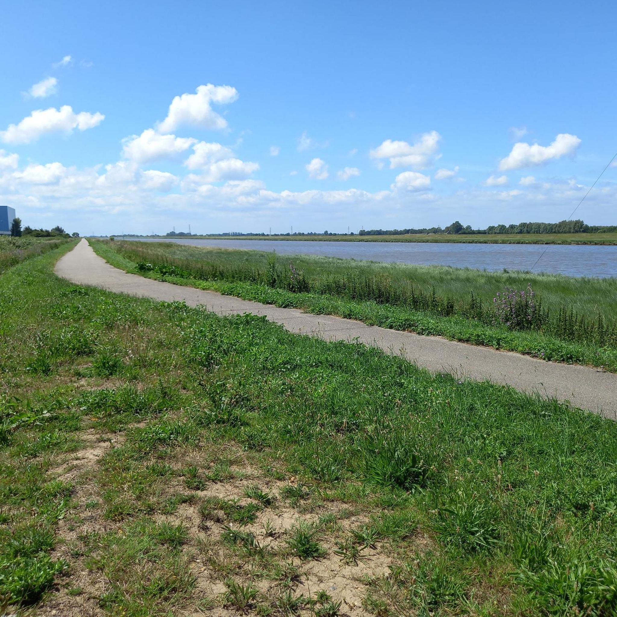
This is an excellent traffic-free cycle path that runs along the River Great Ouse into Kings Lynn. This section traces a wide part of the Great Ouse, close to its mouth at The Wash where it drains into the North Sea. It's the longest of several British rivers called "Ouse", flowing through Buckinghamshire, Bedfordshire, Cambridgeshire and Norfolk to its source in Syresham in Northamptonshire.
2
0
Some scenic areas in the old town by the quay, some not so scenic other parts.
0
0
Nice when the suns shines, a bit bleak and windswept at other times.
0
0
Frequently Asked Questions
How many running routes are available in and around Tilney All Saints?
There are over 160 running routes available in the Tilney All Saints area, catering to various preferences. This includes 15 easy routes, 118 moderate options, and 28 more challenging trails for experienced runners.
What is the general terrain like for running in Tilney All Saints?
The terrain around Tilney All Saints is predominantly flat, characterized by its tranquil fenland landscape. You'll find numerous public footpaths crisscrossing agricultural fields and drainage channels, offering expansive, uninterrupted views. The minimal elevation changes make it an accessible destination for runners of all abilities.
What do other runners say about the trails in Tilney All Saints?
The running routes in Tilney All Saints are highly regarded by the komoot community, boasting an average rating of 4.9 stars from over 10 reviews. More than 1800 runners have explored the area using komoot, often praising the serene fenland scenery and accessible paths.
Are there running routes suitable for beginners in Tilney All Saints?
Yes, there are 15 easy running routes perfect for beginners or those looking for a relaxed jog. The flat fenland terrain ensures a gentle experience, allowing you to enjoy the scenery without significant climbs.
Are there options for longer distance running or more challenging trails?
Absolutely. While the terrain is generally flat, there are 118 moderate and 28 difficult routes available for those seeking longer distances or more intense workouts. For example, the King's Lynn Minster – The Walks Bandstand loop from King's Lynn offers a moderate 14 km (8.7 miles) run, providing a good challenge.
Can I find scenic riverside running paths in the area?
Yes, the region benefits from its proximity to rivers. You can find scenic paths along the River Great Ouse, which combine natural beauty with the charm of the waterways. The Cycle Path into King's Lynn – River Great Ouse Cycle Path loop from King's Lynn is a great option to experience these riverside views.
Are there any circular running routes available?
Many of the running routes in the Tilney All Saints area are designed as loops, allowing you to start and finish in the same location. For instance, the Cycle Path into King's Lynn – River Great Ouse Cycle Path loop from King's Lynn is a moderate 6.7 km circular route.
What landmarks or points of interest can I see while running near Tilney All Saints?
While running, especially on routes closer to King's Lynn, you can encounter several historical landmarks. These include the impressive King's Lynn Minster, the historic Greyfriars Tower, and the picturesque Customs House and Captain Vancouver Statue. The village of Tilney All Saints itself also features the notable All Saints Church.
Are the running trails in Tilney All Saints dog-friendly?
Many of the public footpaths and fenland trails around Tilney All Saints are suitable for running with dogs, provided they are kept under control. It's always advisable to check local signage for any specific restrictions, especially in agricultural areas or near livestock.
What kind of surfaces can I expect on the running paths?
You can expect a mix of surfaces, primarily public footpaths that crisscross agricultural fields. These are generally well-maintained. Some routes, particularly those closer to King's Lynn or along the River Great Ouse, may include paved cycle paths or urban sections.
Is parking available near the running routes?
Parking is generally available in and around Tilney All Saints, particularly in village centers or designated public parking areas. For routes starting further afield, such as those in King's Lynn, there are various car parks available. Always check local regulations and signage.
How accessible are the running routes by public transport?
While Tilney All Saints is a rural village, many routes are accessible from nearby towns like King's Lynn, which has better public transport links. From King's Lynn, you can access routes like the King's Lynn Minster – The Walks Bandstand loop, which explores urban and riverside areas.
Most popular attractions around Tilney All Saints

Get inspired with the komoot mobile app


Explore more
Browse the best Running Trails & Routes in other regions.
