The best running trails around Wiggenhall St. Germans
4.8
(15)
1,973
runners
163
runs
Jogging routes around Wiggenhall St. Germans primarily traverse flat terrain, characteristic of the Fens region. The area is defined by its network of rivers and drainage channels, including the River Great Ouse, providing numerous riverside paths. Many routes incorporate elements of the nearby historic town of King's Lynn, blending urban parkland with open country. This landscape offers accessible running opportunities with minimal elevation changes.
Best jogging routes around Wiggenhall St. Germans
- The most popular jogging route is St John's Highway…
Last updated: October 5, 2026
1
runners
16.0km
01:44
20m
20m
The St John's Highway to Wiggenhall loop provides a difficult jogging experience, covering 9.9 miles (16.0 km) with a modest 59 feet (18 metres) of elevation gain. You can expect…
303
runners
5.58km
00:34
10m
10m
Moderate run. Good fitness required. Mostly paved surfaces. Suitable for all skill levels.

36
runners
Moderate run. Good fitness required. Mostly paved surfaces. Suitable for all skill levels.
30
runners
Moderate run. Good fitness required. Mostly paved surfaces. Suitable for all skill levels.
25
runners
14.0km
01:27
20m
20m
Moderate run. Good fitness required. Mostly paved surfaces. Suitable for all skill levels.
Get access to more routes and recommendations from other explorers.
Already have an account?
Our route recommendations are based on thousands of hikes, rides, and runs completed by other people on komoot.
Start today with a free account
Your next adventure awaits.
Tips from the Community

Easy riding on cycle way but windy
0
0


The most impressive remaining piece of King’s Lynns ancient fortifications, which you still pass through when entering the town from the south.
0
0

Great place for reenactments on Kings Lynn Heritage Day
0
0

This is an excellent traffic-free cycle path that runs along the River Great Ouse into Kings Lynn. This section traces a wide part of the Great Ouse, close to its mouth at The Wash where it drains into the North Sea. It's the longest of several British rivers called "Ouse", flowing through Buckinghamshire, Bedfordshire, Cambridgeshire and Norfolk to its source in Syresham in Northamptonshire.
2
0

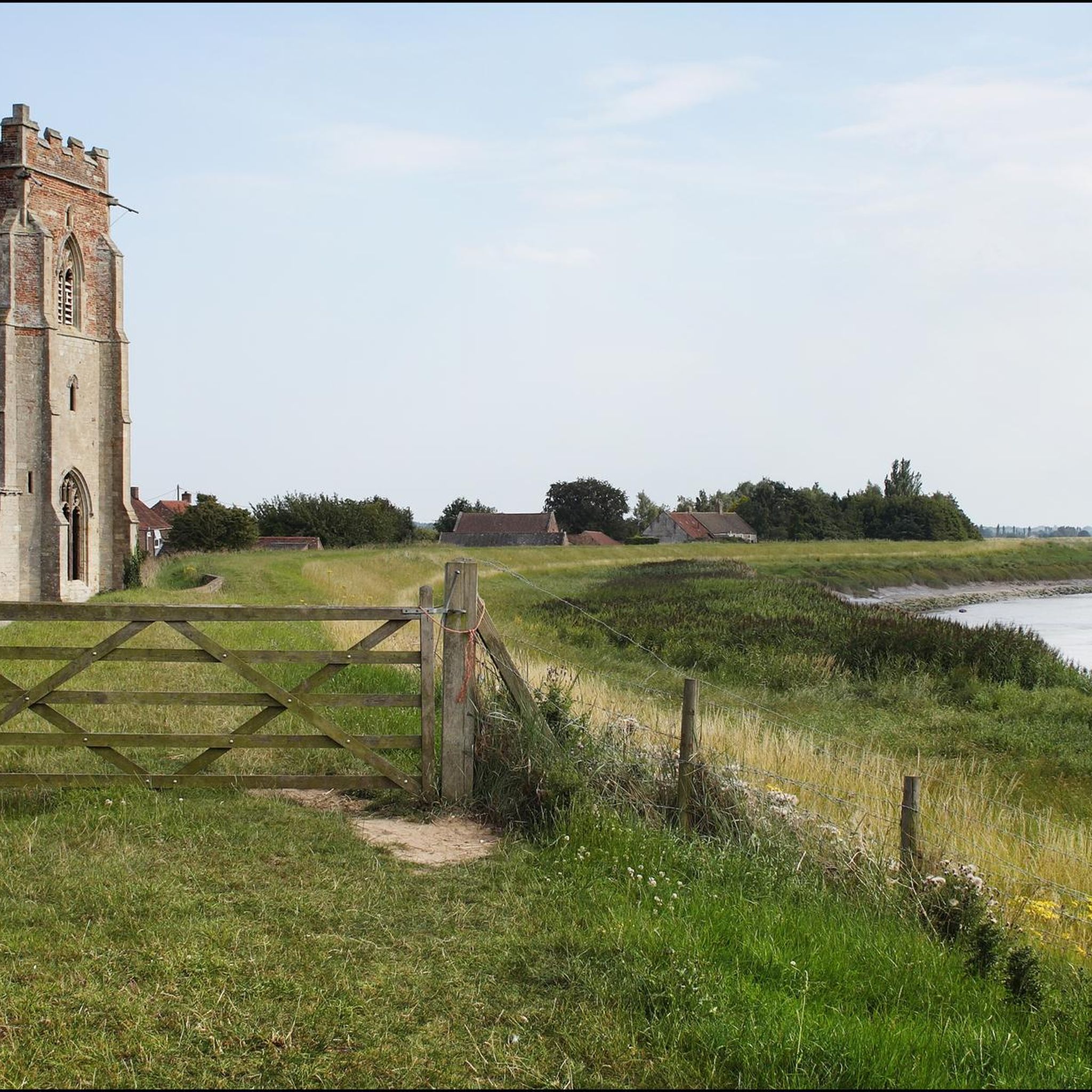
Just after Wiggenhall St Mary Magdalen, you will find some spectacular views while crossing the drains leading to the River Ouse. A very special feature of the village is a tidal bore or wave which can form on the River Great Ouse near the village. Dependent on particular lunar and tidal conditions. Free swimmers, canoers and spectators will often be drawn to experience the spectacle.
1
0
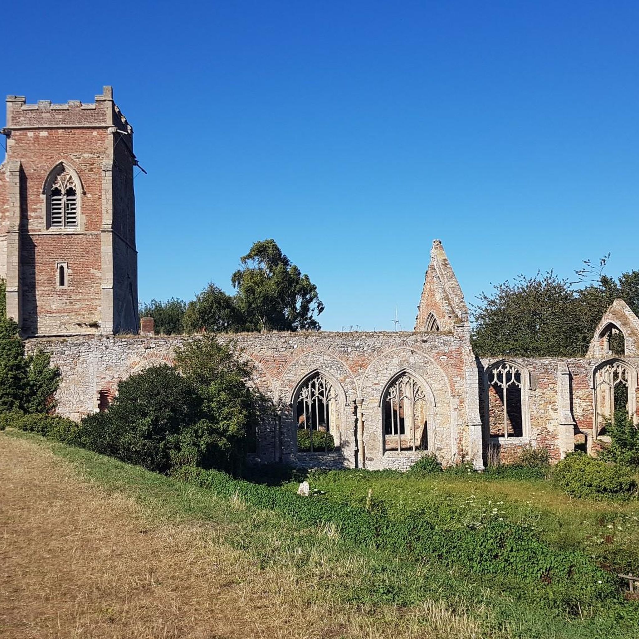
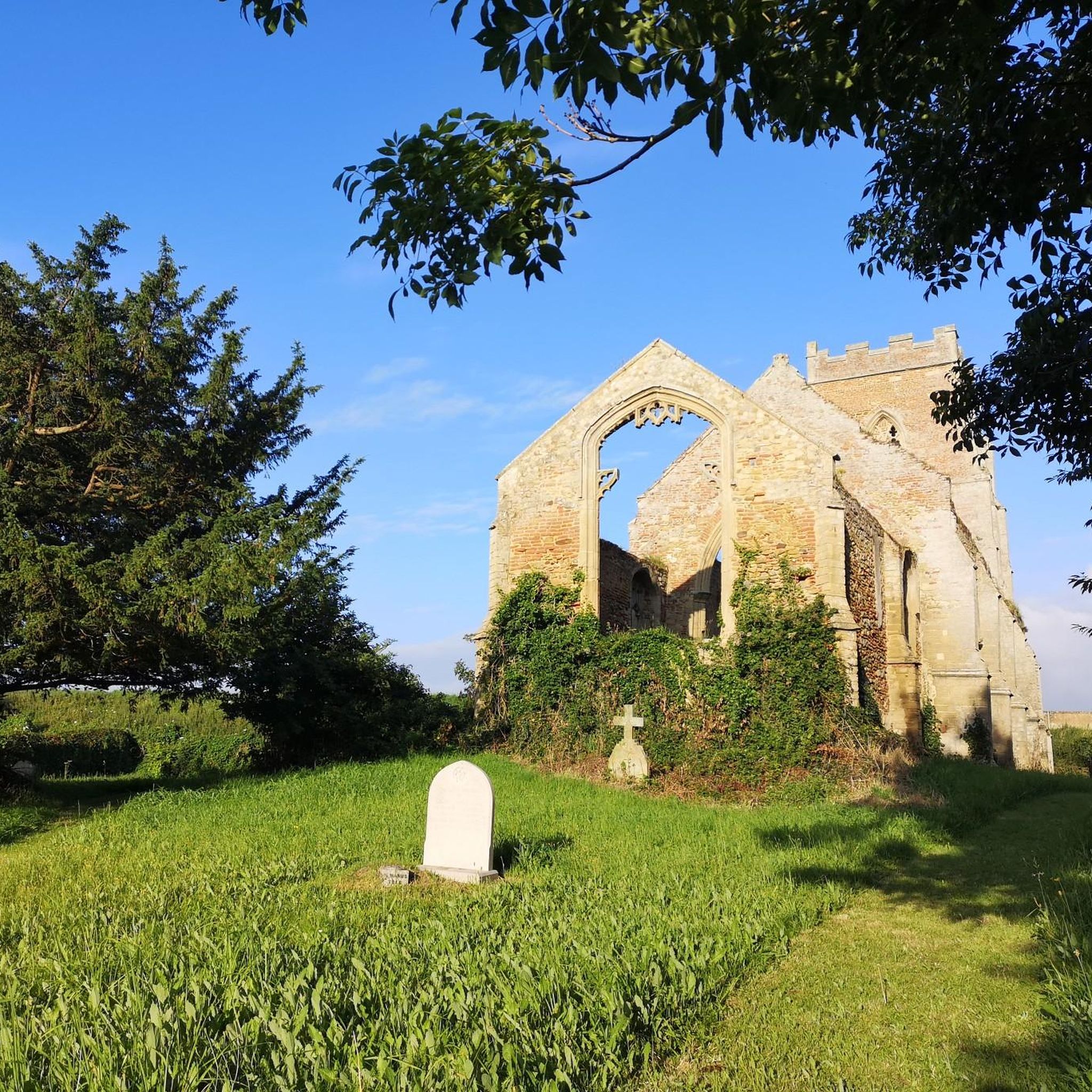
St. Peter's stands as a captivating ruin alongside the tranquil banks of the River Great Ouse. While its walls continue to stand tall, the roof and windows have long vanished. This church, constructed in the 15th century, gradually fell into disrepair at the dawn of the 20th century. In an unfortunate turn of events, in 2013, it was struck by lightning, further adding to its historical narrative.
1
0

Discover this charming ruined church at Wiggenhall St. Peter's on the Fen Rivers Way. It's worth taking some time to explore the church, it has a fascinating history attached to it and some of the most fantastic carved bench-ends you’ll see anywhere in East Anglia
1
0
Frequently Asked Questions
How many running routes are available around Wiggenhall St. Germans?
There are over 170 running routes in and around Wiggenhall St. Germans, offering a wide variety of options for all skill levels. The majority are moderate, with a good selection of easy and challenging trails too.
What kind of terrain can I expect on the jogging routes in this area?
The jogging routes around Wiggenhall St. Germans primarily feature flat terrain, characteristic of the Fens region. You'll find many riverside paths along the River Great Ouse and other drainage channels, as well as routes incorporating urban parkland and historic areas near King's Lynn.
Are there any easy running routes suitable for beginners?
Yes, the area offers 19 easy running routes, perfect for beginners or those looking for a relaxed jog. These routes typically have minimal elevation changes, making them very accessible.
What are some good options for a longer, more challenging run?
For a more challenging experience, consider the St John's Highway to Wiggenhall loop. This route spans nearly 10 miles (16 km) and offers a longer distance through the local countryside.
Can I find running routes that are circular?
Many of the routes in the Wiggenhall St. Germans area are designed as loops, allowing you to start and finish at the same point. For example, the Medieval South Gate – The Walks Bandstand loop from King's Lynn is a popular circular option.
Are there any running trails that pass by historical landmarks or points of interest?
Absolutely. Several routes incorporate historical sites, especially those near King's Lynn. You might pass by landmarks such as the King's Lynn Minster, Greyfriars Tower, or the Customs House. The King's Lynn Minster – The Walks Bandstand loop is a great example of a route with historical sights.
Are the running routes in Wiggenhall St. Germans dog-friendly?
Generally, many of the paths and trails are suitable for running with dogs, especially the riverside and rural routes. However, it's always best to check the specific details of each route on komoot, as some areas might have restrictions or require dogs to be on a leash, particularly near livestock or in certain urban parks.
What do other runners enjoy most about jogging in Wiggenhall St. Germans?
The running routes in Wiggenhall St. Germans are highly rated by the komoot community, with an average score of 4.9 stars. Runners often praise the flat, accessible terrain, the scenic riverside paths, and the blend of rural tranquility with historical urban sections, particularly around King's Lynn.
Are there any running routes that follow the River Great Ouse?
Yes, the River Great Ouse is a prominent feature of the landscape, and many routes utilize its banks. The Cycle Path into King's Lynn – River Great Ouse Cycle Path loop is a good example of a route that offers views and paths along the river.
Can I find running routes that are suitable for families with children?
Given the predominantly flat terrain and the presence of urban parkland, many routes are suitable for families. Look for shorter, easy-rated trails, especially those within King's Lynn's parks, which offer accessible surfaces and amenities.
What is the typical duration for a moderate running trail in this region?
Moderate running trails in Wiggenhall St. Germans vary in length and duration. For instance, the The Walks Bandstand – Customs House, King's Lynn loop is a 7-mile (11.2 km) trail that typically takes about 1 hour 10 minutes to complete.
Most popular attractions around Wiggenhall St. Germans

Get inspired with the komoot mobile app


Explore more
Browse the best Running Trails & Routes in other regions.
