The best walks and hikes around Westonzoyland
4.3
(145)
1,168
hikers
101
hikes
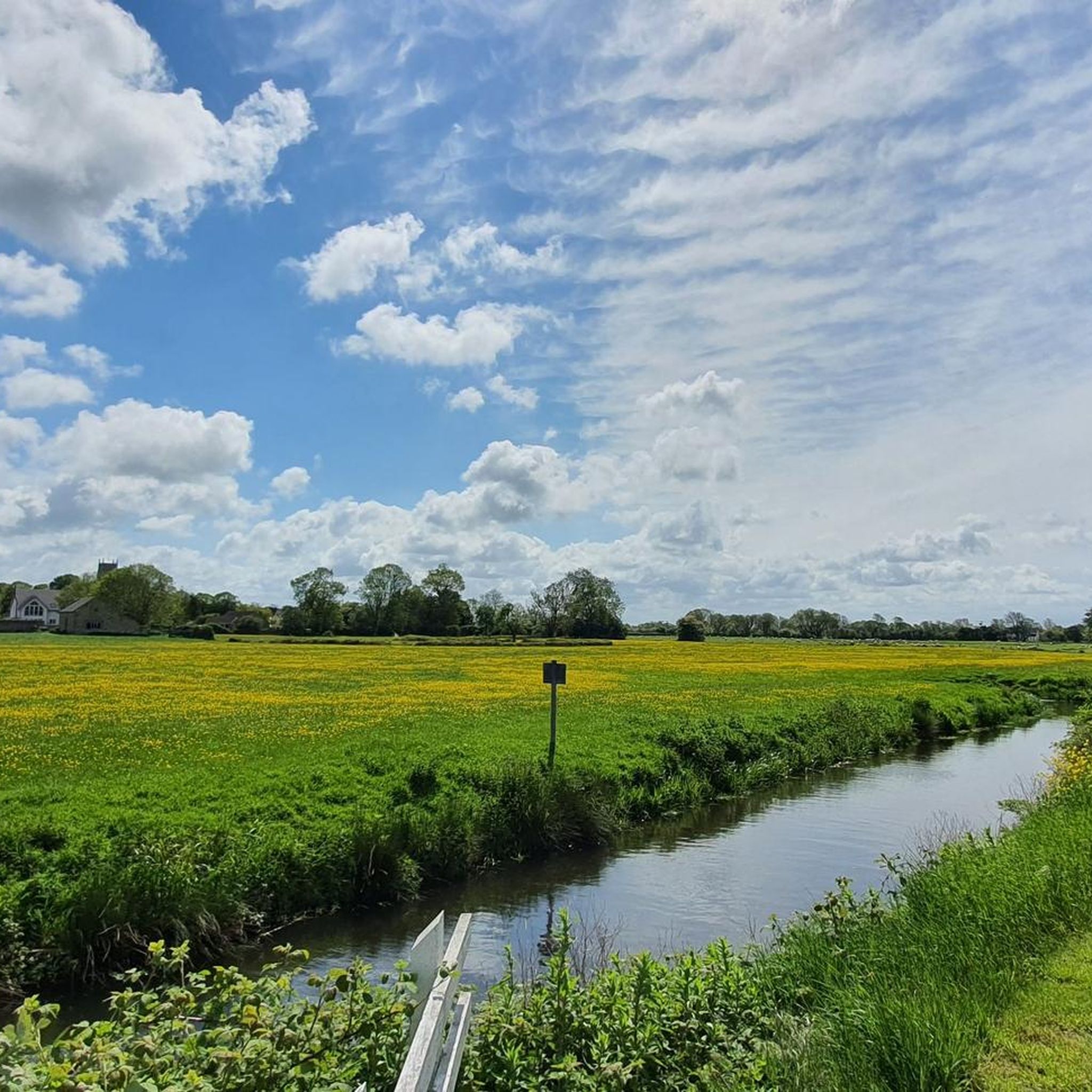
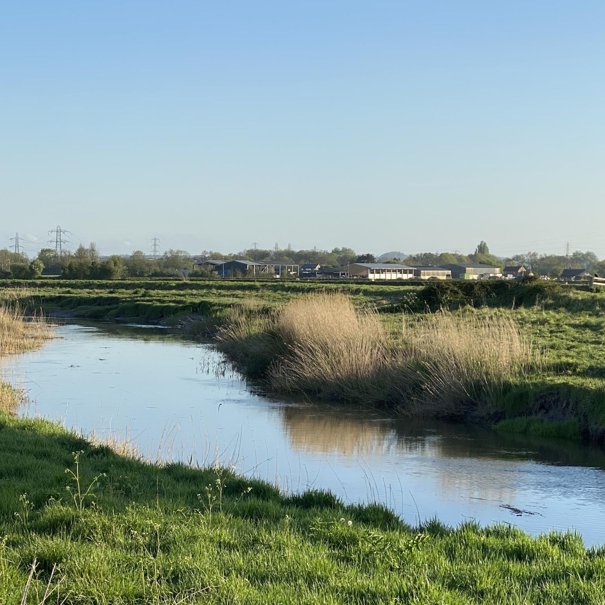
Hikes around Westonzoyland explore the flat, open landscape of the Somerset Levels. The region is characterized by vast fields intersected by a network of waterways, including the River Parrett and the King's Sedgemoor Drain. This managed wetland environment provides generally easy, level paths suitable for a range of fitness levels. The wide-open spaces offer expansive views across the countryside toward the distant hills.
Best hiking trails around Westonzoyland
- The most popular hiking route is King's Sedgemoor Drain loop from Chedzoy, a 3.1 mile (5.0 km) trail that takes around 1 hour 15 minutes to complete. This easy walk follows the banks of the historic waterway.
- Another top favourite among local hiking enthusiasts is Burrow Mump – Burrow Bridge and Toll Gate loop from Burrowbridge, a moderate 9.3 mile (15.0 km) path. The route combines riverside walking with a gentle climb to the notable hill of Burrow Mump.
- Local hiking enthusiasts also love the Burrow Mump & West Sedge Moor loop from Burrowbridge, a 15.3 mile (24.6 km) trail leading through the West Sedge Moor nature reserve, often completed in about 6 hours 30 minutes.
- Hiking around Westonzoyland is defined by riverside paths, expansive moorland, and trails along historic drainage channels. The network of routes offers options for both short, easy walks and more demanding long-distance hikes.
- The routes in Westonzoyland are highly rated by the komoot community with an average score of 4.4 stars from more than 100 reviews. More than 1,000 hikers have used komoot to explore Westonzoyland's varied terrain.
Last updated: October 27, 2026
8
hikers
24.6km
06:28
200m
200m
Hard hike. Very good fitness required. Easily walkable paths.
4.7
(3)
10
hikers
5.04km
01:16
10m
10m
Easy hike. Easily walkable paths.

5.0
(3)
18
hikers
Easy hike. Easily walkable paths.
4.3
(3)
21
hikers
Moderate hike. Good fitness required. Easily walkable paths.
3.0
(2)
5
hikers
14.9km
03:49
60m
60m
Moderate hike. Good fitness required. Easily walkable paths.
Get access to more routes and recommendations from other explorers.
Already have an account?
Our route recommendations are based on thousands of hikes, rides, and runs completed by other people on komoot.
Start today with a free account
Your next adventure awaits.
Frequently Asked Questions
Are there many hiking trails to choose from around Westonzoyland?
Yes, there are over 100 routes to explore in the region. The landscape of the Somerset Levels offers a wide variety of options, from short, easy strolls to more challenging long-distance hikes, with about half of the trails rated as easy.
What do other hikers enjoy most about the Westonzoyland area?
The area is highly rated by the komoot community. Reviewers often praise the unique, flat landscape of the Somerset Levels, the peaceful paths along waterways like the River Parrett, and the expansive, open views across the countryside.
Are there any good circular walks available?
Absolutely. The region is perfect for circular walks that bring you back to your starting point. For a shorter, accessible loop, the Burrow Bridge and Toll Gate loop from Burrowbridge is a great option, offering a pleasant 3-mile (4.9 km) walk along the river.
Can I bring my dog on the trails near Westonzoyland?
Many trails in the area are suitable for walking with a dog, especially the open paths across the Levels. However, you'll be passing through farmland and nature reserves, so always keep your dog under control and be mindful of livestock and wildlife. Remember to bring water and waste bags, as bins are not always available.
Are there any family-friendly walks in the area?
Yes, the flat terrain makes many routes suitable for families. For an adventure with kids, consider exploring Wind Down Woods, a local favorite known for its easy circular path and small dens hidden amongst the trees.
What are some notable viewpoints or hills to hike to?
While the immediate area is very flat, nearby hills offer fantastic views. A hike up Cothelstone Hill is highly recommended by locals for its stupendous 360-degree views. Wills Neck, the highest point in the Quantocks, is another popular destination for its wonderful scenery.
Are there any hikes with historical significance?
Yes, the area is rich in history. Many trails cross the site of the 1685 Battle of Sedgemoor. You can immerse yourself in this history on a route like the Burrow Mump – Burrow Bridge and Toll Gate loop from Burrowbridge, which takes you near the iconic Burrow Mump, a historic and spiritual landmark.
Are there any long-distance hiking options?
For those seeking a full-day challenge, the Burrow Mump & West Sedge Moor loop is an excellent choice. This 15.3-mile (24.6 km) trail offers an immersive experience of the Somerset Levels, taking you through the expansive West Sedge Moor nature reserve.
What kind of scenery can I expect on a typical hike?
Hiking here is defined by the serene, open landscape of the Somerset Levels. Expect to walk along the banks of rivers and historic drainage channels called 'rhynes'. The King's Sedgemoor Drain loop from Chedzoy is a perfect example, following one of the area's most significant waterways.
Are there any walks that start near a pub or cafe?
Many walks begin in or pass through villages with local pubs. The village of Burrowbridge, the starting point for several popular routes, has a pub that makes a convenient start or end point for a day's hike.
What is the terrain like? Are the paths difficult?
The terrain is predominantly flat and generally easy to walk on, making it accessible for most fitness levels. Most paths follow riverbanks, farm tracks, or quiet country lanes. While some longer routes are rated as moderate due to their distance, the elevation gain is minimal.
Are there opportunities for birdwatching while hiking?
Definitely. The Somerset Levels are a haven for birdwatchers. The wetlands and nature reserves, such as Westhay Moor and the Avalon Marshes, provide fantastic opportunities to spot a variety of species. In the autumn and winter, you might even witness spectacular starling murmurations.
Most popular attractions around Westonzoyland

Get inspired with the komoot mobile app


Explore more
Browse the best Hikes in other regions.
