The best mountain hikes in the Alborz Mountains
4.2
(13)
163
hikers
13
hikes
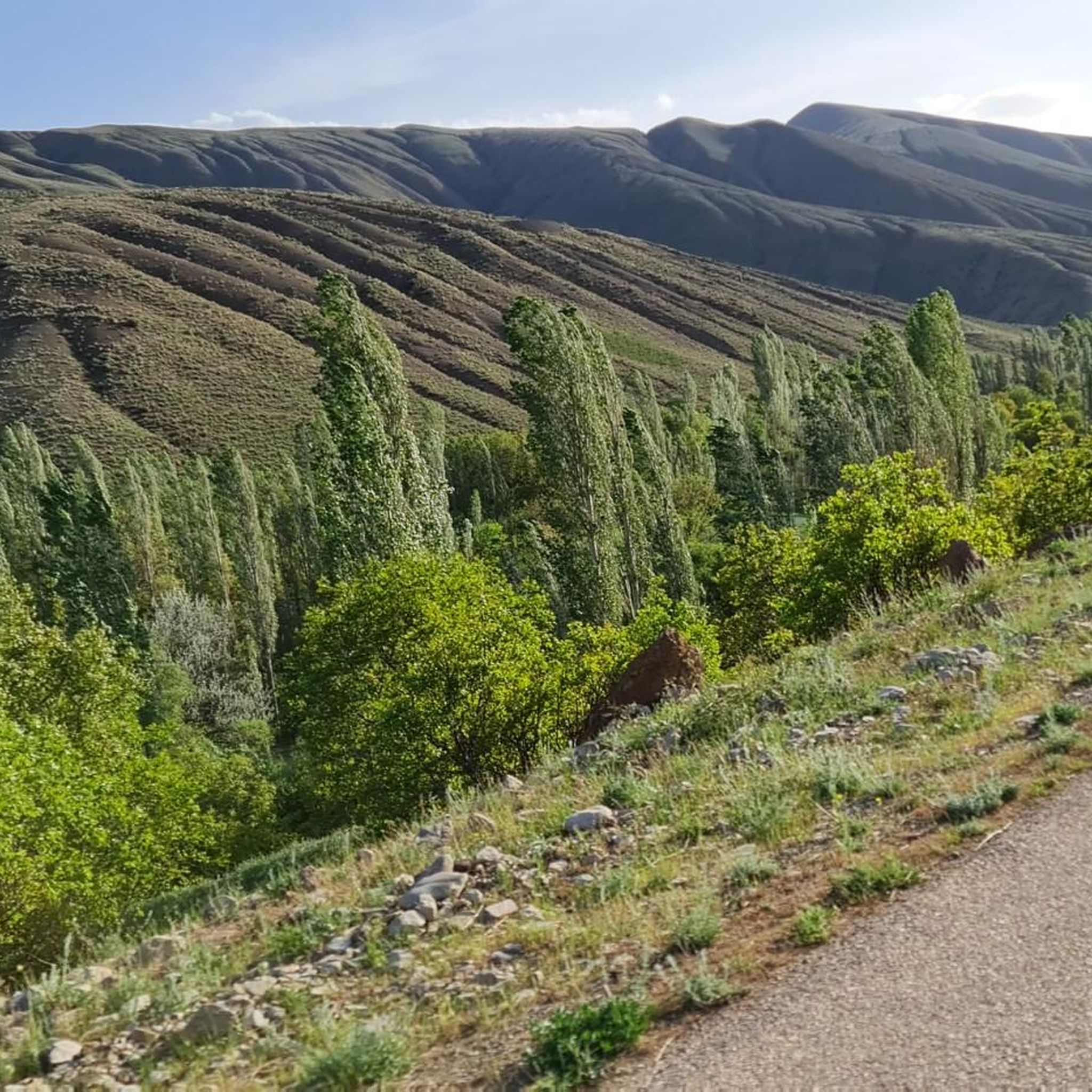
Mountaineering routes in the Alborz Mountains traverse a majestic range characterized by towering peaks, diverse ecosystems, and deep valleys. The region features Iran's highest summits, including Mount Damavand at 5,610 meters, alongside lush Hyrcanian forests on northern slopes and semi-arid terrain to the south. Canyons, rivers, and snowy vistas at higher elevations contribute to a varied and challenging mountaineering landscape.
Best mountaineering routes in the Alborz Mountains
- The most popular mountaineering route is Bargah Sevom Shelter (4,200 m) loop from…
Last updated: May 15, 2026
5.0
(2)
31
hikers
8.43km
06:00
1,190m
1,190m
Hard mountaineering route. Very good fitness required. Sure-footedness, sturdy shoes and alpine experience required.
5.0
(2)
28
hikers
10.0km
03:26
500m
500m
Moderate mountaineering route. Good fitness required. Mostly accessible paths. Sure-footedness required.

Sign up for free
5.0
(1)
17
hikers
8.21km
04:57
820m
820m
Hard mountaineering route. Good fitness required. Sure-footedness, sturdy shoes and alpine experience required.
5.0
(2)
14
hikers
10.4km
03:11
380m
380m
Moderate mountaineering route. Good fitness required. Easily-accessible paths. Suitable for all skill levels.
4.0
(2)
12
hikers
14.2km
07:58
1,440m
1,440m
Hard mountaineering route. Very good fitness required. Mostly accessible paths. Sure-footedness required.
4.0
(1)
8
hikers
14.7km
07:45
1,680m
1,680m
Hard mountaineering route. Very good fitness required. Mostly accessible paths. Sure-footedness required.
7
hikers
6.04km
03:01
700m
700m
Moderate mountaineering route. Good fitness required. Easily-accessible paths. Suitable for all skill levels.
4
hikers
12.7km
05:35
1,180m
1,180m
Hard mountaineering route. Very good fitness required. Easily-accessible paths. Suitable for all skill levels.
4.0
(1)
8
hikers
13.5km
05:21
880m
880m
Hard mountaineering route. Very good fitness required. Mostly accessible paths. Sure-footedness required.
5
hikers
Hard mountaineering route. Very good fitness required. Sure-footedness, sturdy shoes and alpine experience required.
Get access to more routes and recommendations from other explorers.
Sign up for free
Already have an account?
Our route recommendations are based on thousands of hikes, rides, and runs completed by other people on komoot.
Start today with a free account
Your next adventure awaits.
Login or Signup
Popular around Alborz Mountains


Tips from the Community


After a short night in the hut, the actual ascent begins here
3
0

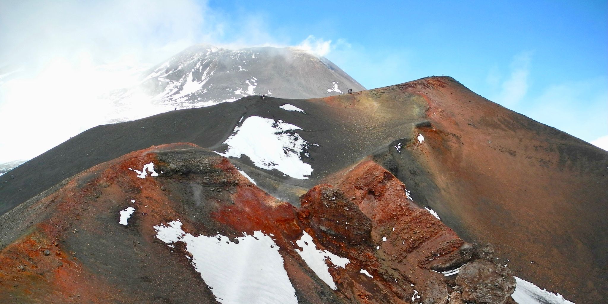
... to descend. My tour partner had up to 4800 m no problems. After that until 5400 m he said that it is extremely exhausting. The guy (24) comes from Garmisch and otherwise has no problems on the mountain. We are both well trained, but the altitude and wind are just as important. It runs very steeply over loose gravel and dust. The wind is very strong, freezing and blowing dust in the eyes and respiratory system. Despite gloves, individual fingers were slightly numb. The summit climb partly crosses snow / ice fields, crampons were not necessary with us. Passing a fake peak, it's time for the last Hm. The sulfur fumes are in our opinion not as bad as the flying dust. Striking tour, if you are not used to this altitude.
3
0
Thanks, the previous tips I can all confirm (21:06:17), with the starting point A (Base Camp) is a curve earlier. We were traveling with two of us, without guides and camped the first night at 3200 m, so 200 Hm higher up. Small stone walls provide cover there and the sandy bottom protects the back. Shortly after 3700 m there is a small plateau for a tent (max 3-4 persons). The nights in June are pretty cold. Even during the day, the winds are very strong. The second night we spent in the shelter (4200). It is advisable to do a short acclimatization tour in the afternoon. A guide told us not to climb another 300-400 Hm, stay upstairs for an hour and then back to 4200 to sleep. Personally, I had a lot of height problems. The headaches (pretty bad) were gone after the small acclimatization tour. However, then nausea and vomiting plagued me. I decided the next day, again from ...
2
0

Ascent Damavand 5671m: The easiest ascent route to Damavand is the southern route. The starting point is Polur. Polur is about 70 km from Tehran and can be easily reached by bus or taxi. Supplies are available there. The Iran Mountaineering Federation is located outside of town and is also the base camp. There you get the permit (2016: 50 US $) and sleeping accommodation. Meals unknown. 4-wheel-drive cars to Camp 2 (Mosque) at 3000m can be booked there (2016: 1 million Rial approx. 25€, per trip, max. 4 people). Alternatively, you can climb the slopes and path yourself. Overnight in Camp 2, Mosque free. One room, about 10-15 berths on the floor, no supply! Drinking water available, 2016. Camping possible outside. Ascent to Camp 3 at 4200m: Approx. 1200m elevation gain, overnight stay in a mountain house, mattress camp and multi-bed room, approx. 100 places (mattress camp 200,000 riyals, approx. €5), food available in the mini market. Continuation!
4
0
Frequently Asked Questions
How many mountaineering routes are available in the Alborz Mountains?
There are over a dozen mountaineering routes documented in the Alborz Mountains on komoot, offering a range of experiences from moderate ascents to challenging climbs. The region is known for its towering peaks and diverse terrain.
Are there any easy mountaineering routes for beginners in the Alborz Mountains?
While many routes in the Alborz Mountains are rated difficult, there are moderate options suitable for those with some experience. For instance, the بام تهران loop from Shahid Beheshti University of Tehran (SBU) offers accessible ascents with panoramic views. Another moderate choice is the 5th Tochal Station – Darakeh to Palangchal Trail loop from Evin Prison.
What kind of terrain can I expect on mountaineering routes in the Alborz Mountains?
The Alborz Mountains offer incredibly diverse terrain. You'll encounter everything from lush Hyrcanian forests on the northern slopes to semi-arid juniper-covered areas on the southern side. Higher elevations feature rocky paths, deep valleys, and snowy vistas, especially around iconic peaks like Mount Damavand and Alam-Kuh.
Are there any circular mountaineering routes in the Alborz Mountains?
Yes, many of the mountaineering routes in the Alborz Mountains are designed as loops, allowing you to start and finish at the same point. A popular example is the Bargah Sevom Shelter (4,200 m) loop from Free camp place, which is a challenging ascent to a high-altitude shelter.
What are some notable natural features or landmarks to see along the mountaineering routes?
The Alborz Mountains are rich in natural beauty. You can encounter stunning waterfalls, such as those near the Darband Waterfalls and Trail Entrance. Many routes also lead to significant shelters like the Bargah Sevom Shelter (4,200 m), or offer views of majestic summits like Mount Damavand Summit.
What do other mountaineers say about the Alborz Mountains?
The Alborz Mountains are highly rated by the komoot community, with an average score of 4.2 stars from over 10 reviews. Mountaineers often praise the challenging ascents, the diverse landscapes ranging from forests to high alpine environments, and the rewarding panoramic views from the peaks.
Are there any routes that feature waterfalls?
Yes, some routes in the Alborz Mountains incorporate waterfalls into their scenic journey. The Shirpala Shelter and Waterfall loop from Sa'd Abad Museum Complex is a great example, leading through varied mountain terrain to a notable shelter and a beautiful waterfall.
What is the typical duration for mountaineering routes in this region?
The duration of mountaineering routes in the Alborz Mountains varies significantly based on difficulty and distance. Moderate routes like کلون بستک loop from گردنه دیزین can take around 3 hours, while more difficult and longer trails, such as دارآباد – سه راهی یال کلاغ میزان loop from Niavaran Palace, can extend to 8 hours or more.
Are there any multi-day trekking options in the Alborz Mountains?
While specific multi-day treks are not detailed in this guide, the presence of high-altitude shelters like Bargah Sevom and the extensive network of trails suggest that multi-day expeditions are feasible. Many mountaineers undertake multi-day ascents of major peaks like Mount Damavand, utilizing basecamps and shelters along the way.
What are some of the highest peaks accessible for mountaineering in the Alborz Mountains?
The Alborz Mountains are home to Iran's highest peaks. Mount Damavand, a dormant volcano at 5,610 meters, is the most iconic and a significant mountaineering challenge. Other prominent peaks include Alam-Kuh (4,848 meters) and Mount Sabalan (4,811 meters), offering diverse climbing experiences.
Can I find routes that offer views of Tehran?
Yes, several routes provide stunning panoramic views over Tehran and the surrounding hills. The بام تهران loop from Shahid Beheshti University of Tehran (SBU) is specifically known for its accessible ascents and excellent city vistas.
Are there any routes that lead to a shelter or hut?
Absolutely. Many mountaineering routes in the Alborz Mountains lead to or pass by shelters, which are crucial for longer treks or as resting points. The Bargah Sevom Shelter (4,200 m) loop from Free camp place and the Shirpala Shelter and Waterfall loop from Sa'd Abad Museum Complex are prime examples, offering destinations with facilities.
Most popular routes in the Alborz Mountains
Most popular attractions in the Alborz Mountains

Get inspired with the komoot mobile app


