The best running trails around Bezirk Innsbruck-Land
4.5
(1954)
63,828
runners
1,425
runs
Jogging routes around Bezirk Innsbruck-Land offer a diverse range of terrains, from gentle riverside paths to challenging alpine trails. The region is characterized by the Inn River and its valleys, extensive forests, and impressive mountain ranges like the Nordkette and Stubai Alps. Runners can explore routes around picturesque lakes and through unique natural gorges, providing varied landscapes for all skill levels.
Best jogging routes around Bezirk Innsbruck-Land
- The most popular jogging route is 5-Bridge Loop Trail, an easy 3.0 miles (4.8 km) trail that takes about 30 minutes to complete, offering a scenic urban run.
- Another top favourite among local runners is Inn River Trail, a moderate 8.4 miles (13.5 km) path. This route follows the Inn River, providing views of the surrounding mountains and city.
- Local runners also love the Klammgeist Run, a 5.7 miles (9.2 km) trail leading through a gorge-like landscape, often completed in about 1 hour.
- Jogging around Bezirk Innsbruck-Land is defined by riverside paths, dense forests, and alpine trails, with options ranging from leisurely runs to demanding mountain challenges. The network offers options for different ability levels, from easy loops to long-distance trail running.
- The routes in Bezirk Innsbruck-Land are highly rated by the komoot community with an average score of 4.5 stars from over 1,500 reviews. More than 55,000 runners have used komoot to explore Bezirk Innsbruck-Land's varied terrain.
Last updated: October 24, 2026
4.5
(40)
1,871
runners
4.81km
00:30
10m
10m
Easy run. Mostly paved surfaces.
4.7
(36)
1,238
runners
13.5km
01:23
30m
30m
Moderate run. Good fitness required. Mostly paved surfaces.

5.0
(3)
229
runners
31.9km
05:57
2,290m
2,290m
Hard run. Very good fitness required. Sure-footedness, sturdy shoes and alpine experience required.
4.7
(21)
234
runners
9.15km
00:59
90m
90m
Moderate run. Good fitness required. Mostly paved surfaces.
4.6
(10)
199
runners
15.5km
02:19
730m
730m
Hard run. Very good fitness required. Sure-footedness, sturdy shoes and alpine experience required.
5.0
(4)
195
runners
30.6km
06:05
2,570m
690m
Hard run. Very good fitness required. Sure-footedness, sturdy shoes and alpine experience required.
4.9
(7)
101
runners
10.4km
01:24
300m
300m
Hard run. Good fitness required. Sure-footedness, sturdy shoes and alpine experience required.
4.7
(7)
170
runners
24.4km
03:58
1,240m
1,240m
Hard run. Very good fitness required. Sure-footedness, sturdy shoes and alpine experience required.
4.3
(4)
98
runners
8.04km
01:10
410m
410m
Hard run. Very good fitness required. Sure-footedness, sturdy shoes and alpine experience required.
4.3
(8)
129
runners
4.54km
00:35
150m
160m
Hard run. Good fitness required. Sure-footedness, sturdy shoes and alpine experience required.
Get access to more routes and recommendations from other explorers.
Already have an account?
Our route recommendations are based on thousands of hikes, rides, and runs completed by other people on komoot.
Start today with a free account
Your next adventure awaits.
Popular around Bezirk Innsbruck-Land

Running Trails in the Stubai Alps

Running Trails in the Stubaital

Running Trails in the Tuxer Alps

Running Trails in the Region Seefeld – Tirols Hochplateau

Running Trails around Hall-Wattens
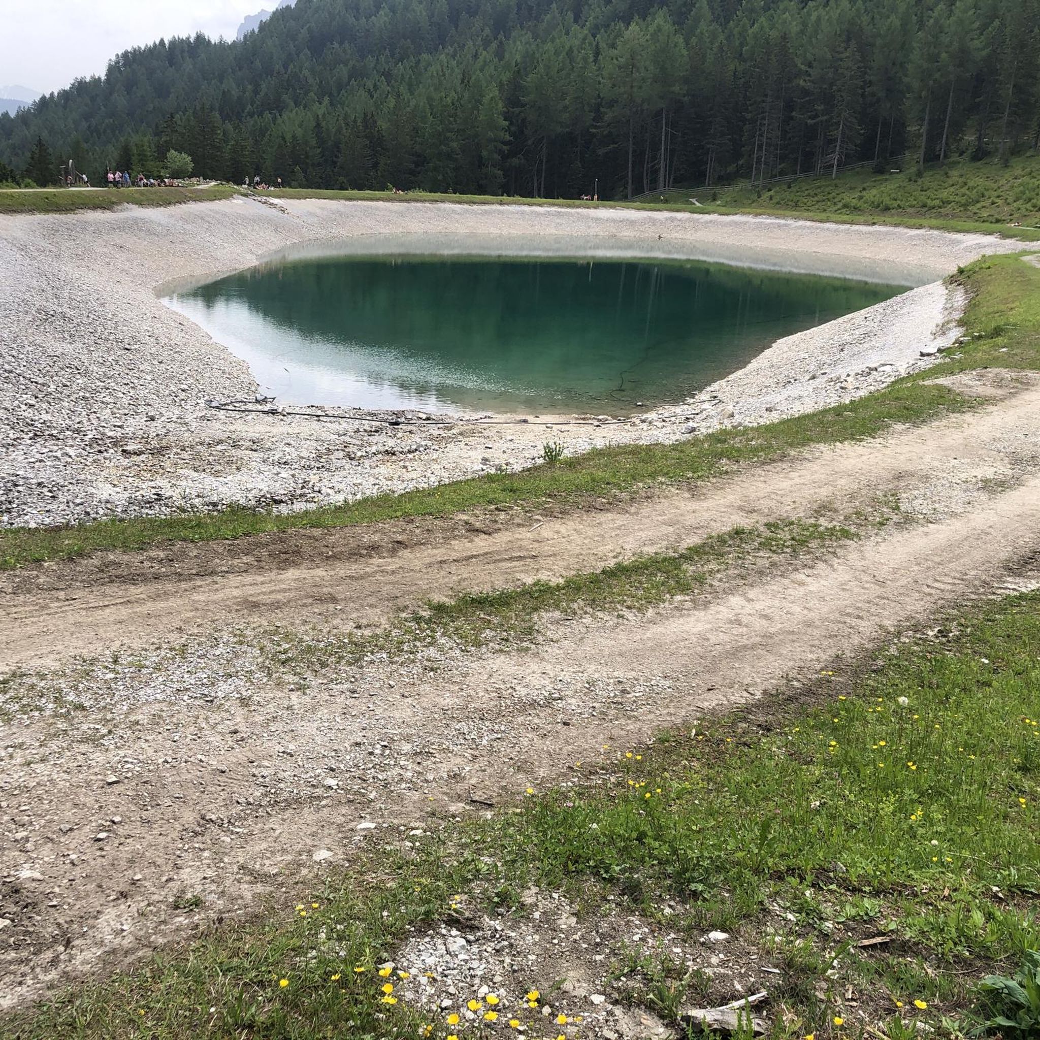
Running Trails in Kalkkögel
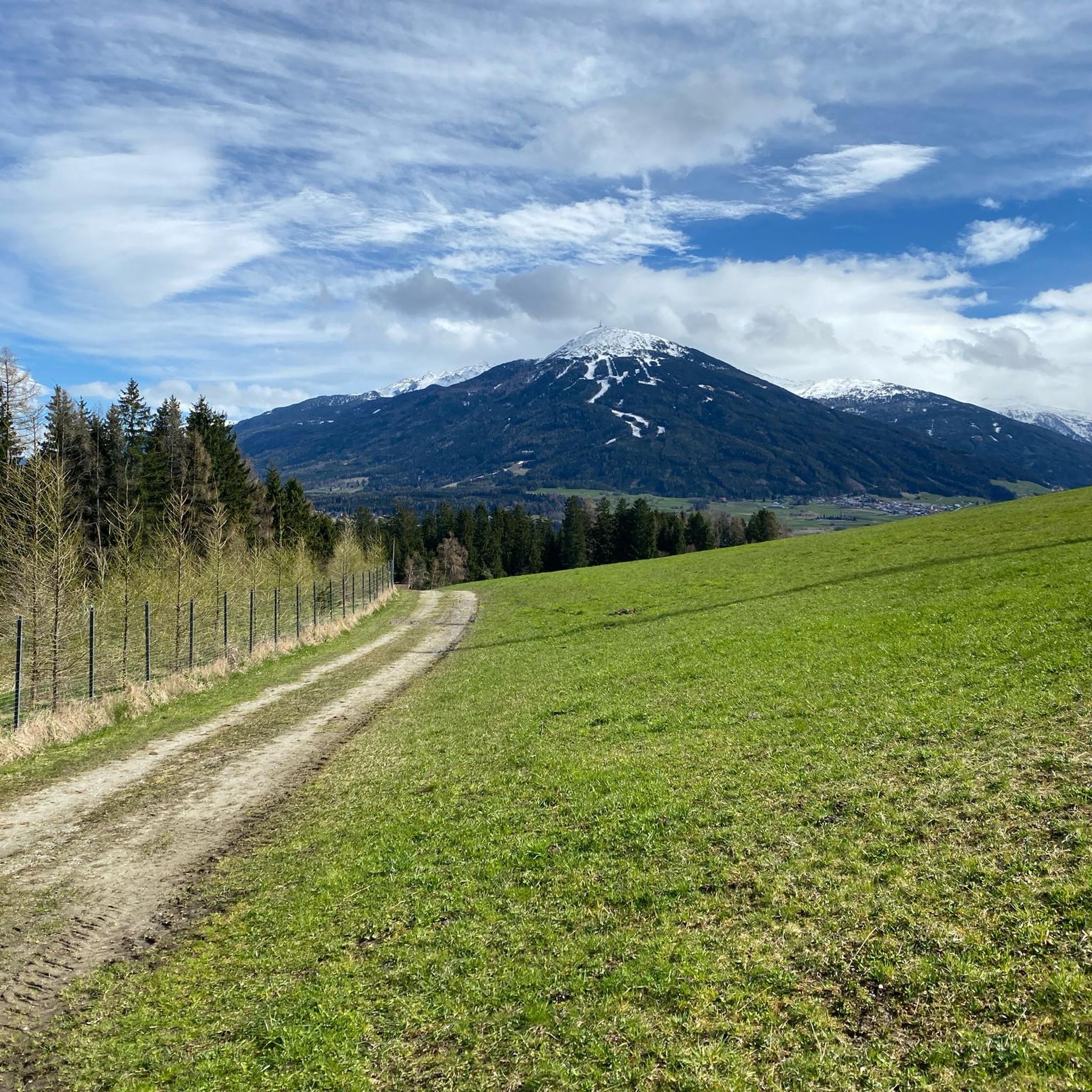
Running Trails around Natters
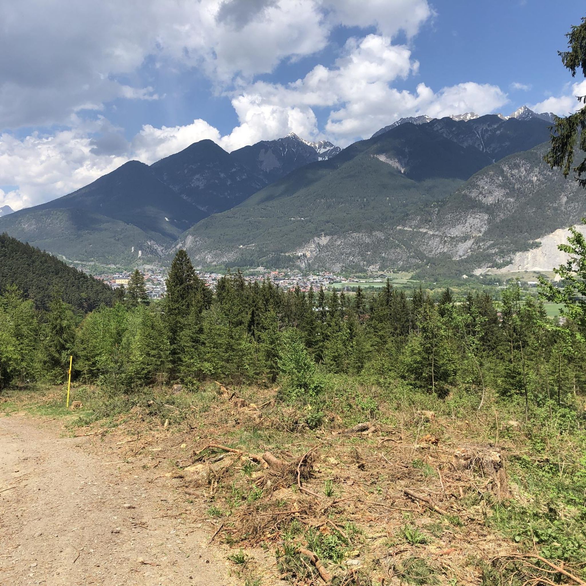
Running Trails around Unterperfuss

Running Trails around the Wipptal
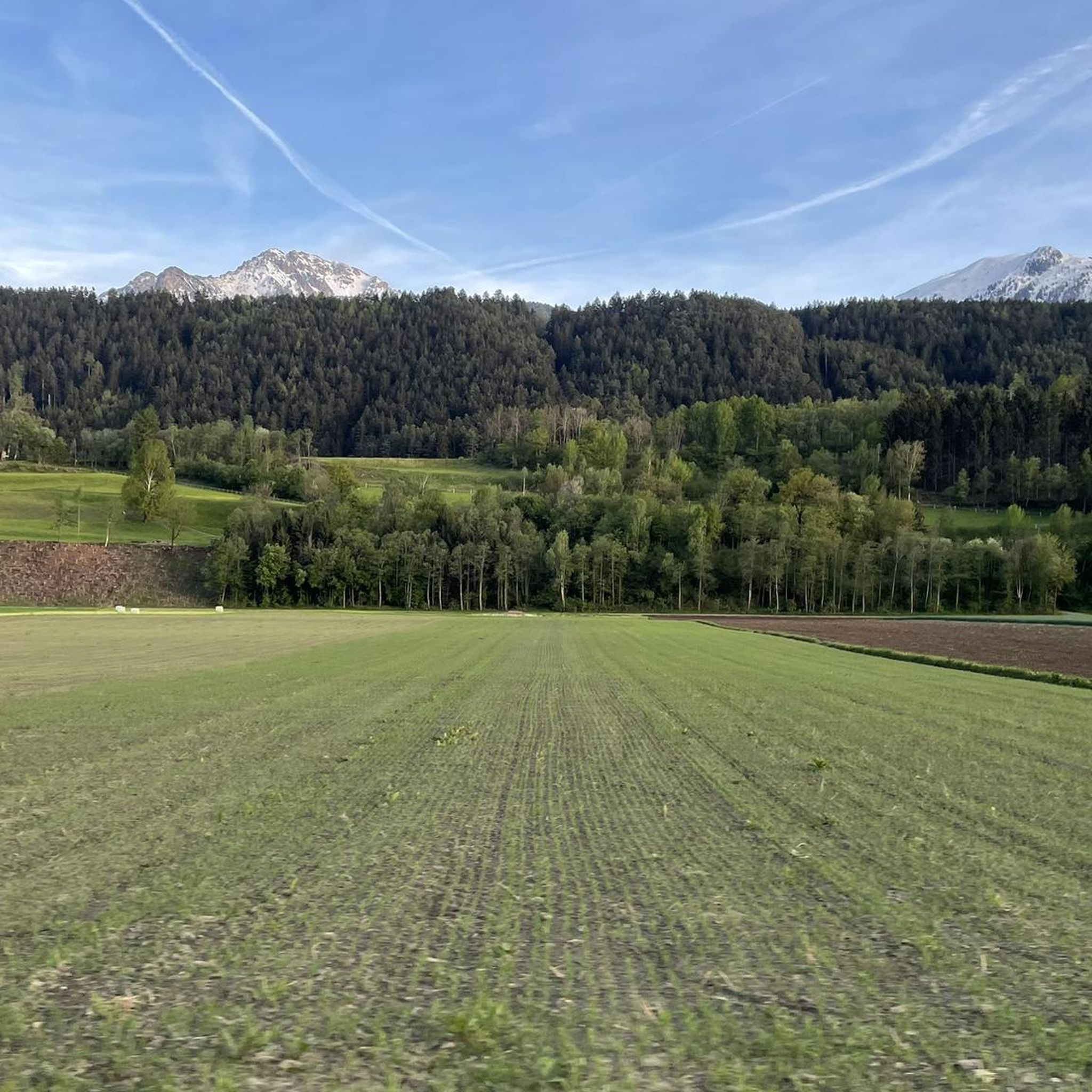
Running Trails around Kematen in Tirol
Other adventures around Bezirk Innsbruck-Land


Tips from the Community

The bridge was named after the French general Émile Béthouart, who served as High Commissioner of the French occupation zone in Austria after the Second World War. The naming commemorates his contribution to reconstruction and to German-French-Austrian understanding.
5
0

The Gleinser family built a new hut in 2015 – with all the technical refinements for environmentally friendly management.
0
0

The Dresdner Hütte is the lowest-lying hut here, but it's very large. The best way to get there is from the middle station of the modern gondola lift.
1
0

One of the best views over the river Inn in Innsbruck, very near the old town. Spectacular mountain views and a nice Christmas market in this area in December.
0
0

Unusual view of one of IBK's landmarks
0
0

This elegant iron-framed pedestrian bridge, built between 1873 and 1875, connects the charming districts of Saggen and St. Nikolaus over the Inn River. Once simply called the Innsteg (Inn Bridge), it was renamed in 2003 in honor of French General Emile Béthouart to celebrate postwar reconciliation. The light, ornate bridge is perfect for leisurely strolls, photo opportunities, and bike rides. From here, you'll enjoy magnificent views of the Alps, the river, and the colorful houses along the riverbank. Visit the bridge at sunrise or sunset and enjoy the peaceful atmosphere!
4
1
The Bergisel is a 746 m high hill in the southern part of the Wilten district of Innsbruck. It lies at the entrance of the Wipptal valley, drained by the Sill River, into the Inn Valley. The Brenner Railway and the Brenner Autobahn tunnel beneath the Bergisel. At its foot lies the Sill Gorge, a local recreation area.
2
0

Frequently Asked Questions
How many running routes are available in Bezirk Innsbruck-Land?
Bezirk Innsbruck-Land offers a vast network of running routes, with over 1,400 options to explore. These range from easy paths to challenging alpine trails, catering to all fitness levels.
Are there easy running routes suitable for beginners or casual joggers?
Yes, the region has numerous easy running routes. For a scenic urban run, consider the 5-Bridge Loop Trail, which is 3.0 miles (4.8 km) and takes about 30 minutes. Many paths along the Inn River also offer gentle, flat conditions.
What kind of terrain can I expect on running trails in Bezirk Innsbruck-Land?
You'll find a diverse range of terrains. Options include leisurely riverside paths along the Inn River, routes around picturesque lakes like Weidachsee and Seefelder Wildsee, and extensive forest trails. For more challenging runs, the region boasts mountainous terrain in the Nordkette, Karwendel, and Stubai Alps, with dramatic landscapes and alpine plateaus.
Are there any running routes that offer great panoramic views?
Absolutely! Many trails provide stunning vistas. The Bergisel Panorama Loop offers breathtaking views of Innsbruck and the surrounding Alpine scenery. Additionally, trails on Patscherkofel mountain, accessible by cable car, provide diverse routes with panoramic outlooks over the Inn Valley.
Can I find running routes that follow rivers or pass by lakes?
Yes, the region is rich in water features. The Inn River Trail is a popular moderate path following the Inn River. You can also find routes around lakes such as Weidachsee and Seefelder Wildsee, which offer mostly flat running conditions through picturesque surroundings.
Are there any unique natural attractions to see while running?
Yes, you can experience unique natural wonders. The Klammgeist Run leads through a gorge-like landscape. The Leutasch Gorge and Leutasch Ghost Gorge also offer distinctive running experiences on secured pathways, with highlights like the Leutasch Gorge Panoramic Bridge and the Höll Bridge.
What do other runners say about the trails in Bezirk Innsbruck-Land?
The running routes in Bezirk Innsbruck-Land are highly regarded by the komoot community, with an average rating of 4.5 stars from over 1,500 reviews. Runners frequently praise the diverse landscapes, from tranquil riverside paths to challenging mountain trails, and the well-maintained network of paths.
Are there any challenging trail running options in the region?
For experienced trail runners seeking a challenge, Bezirk Innsbruck-Land offers several demanding routes. The Stubai Alps, for instance, feature difficult trails like the STUBAI K31, which covers over 30 km with significant elevation gain. Other challenging options include the Trail classic Wolfele-Wilde-Weg - Innsbruck and the Höttinger Höll and Nisslsteig Loop.
Can I access higher-altitude trails easily?
Yes, several locations like Nordkette and Patscherkofel are accessible by funicular or cable car, making it easier to reach higher-altitude trails for running. This allows you to enjoy alpine environments and stunning views without the initial strenuous climb.
Are there any specific landmarks or points of interest along the running routes?
Beyond natural features, you can encounter several points of interest. A route around Bergisel passes the iconic Bergisel Ski Jump. The region also features various mountain huts, such as Wildmoos Alm and Karwendelhaus, which can serve as scenic stops or destinations on longer runs.
What are the best times of year for running in Bezirk Innsbruck-Land?
The region is excellent for running throughout much of the year. Spring and autumn offer pleasant temperatures and vibrant scenery, with larch forests on the Mieming Plateau turning brilliant colors in autumn. Summer provides access to higher alpine trails, while some lower-altitude paths may still be suitable for winter running, offering a unique snowy experience.
Most popular routes around Bezirk Innsbruck-Land
Most popular attractions around Bezirk Innsbruck-Land

Get inspired with the komoot mobile app


Didn’t find what you were looking for?
Check out more Running Trails & Routes throughout Bezirk Innsbruck-Land below and find the perfect route in your destination.
Explore more
Browse the best Running Trails & Routes in other regions.
