The best road cycling routes around Normanton On Soar
4.5
(155)
9,875
riders
404
rides
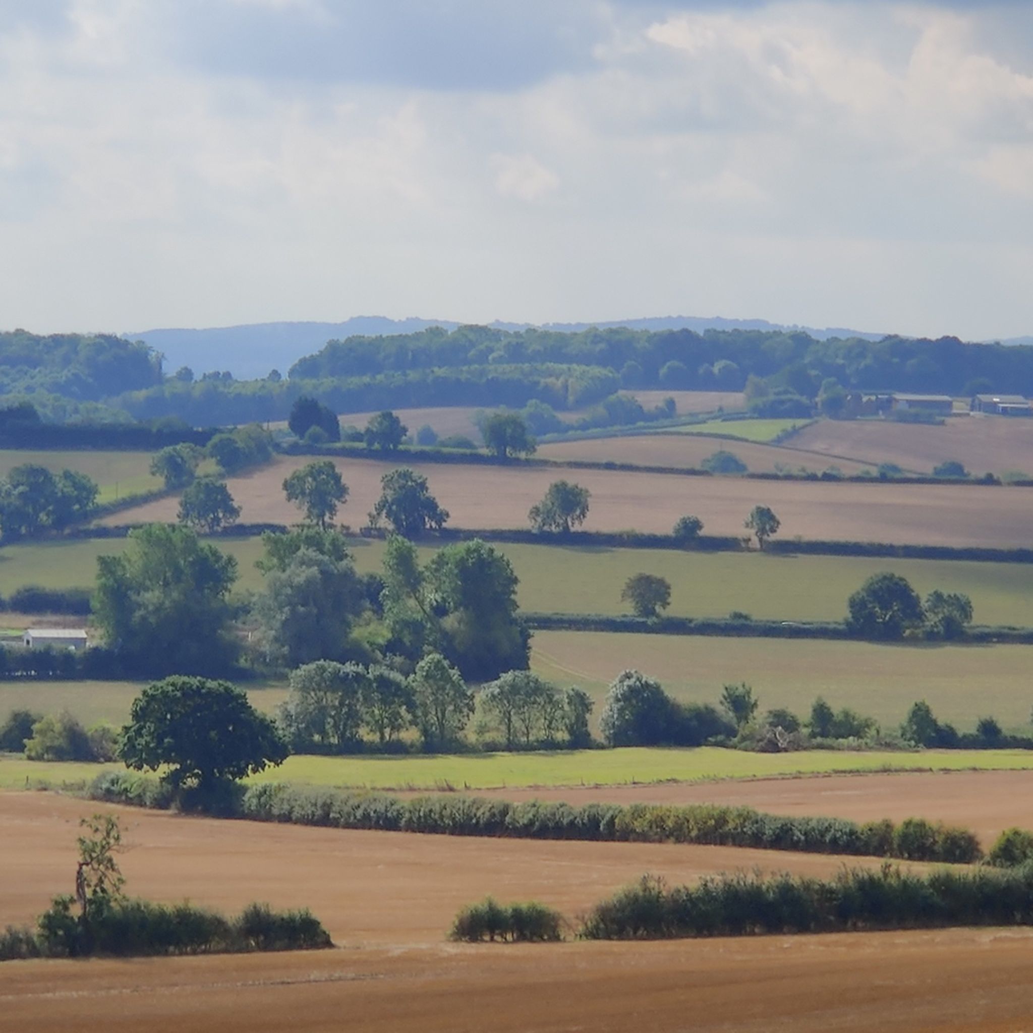
Road cycling around Normanton On Soar offers routes through a landscape characterized by its riverside setting and gently undulating terrain. The area features extensive agricultural fields and open countryside, providing scenic views for cyclists. While dedicated routes may not originate directly within the village, it serves as a base for exploring the wider Nottinghamshire area, which includes sections of the National Cycle Network. The terrain generally presents low elevation gains, making it suitable for various fitness levels.
Best road cycling…
Last updated: October 27, 2026
76
riders
54.0km
02:14
320m
320m
Moderate road ride. Good fitness required. Mostly well-paved surfaces and easy to ride.
3.0
(1)
62
riders
54.8km
02:14
310m
310m
Moderate road ride. Good fitness required. Mostly well-paved surfaces and easy to ride.

3.0
(1)
63
riders
30.2km
01:13
170m
170m
Easy road ride. Mostly well-paved surfaces and easy to ride.
48
riders
50.5km
02:08
280m
280m
Moderate road ride. Good fitness required. Mostly well-paved surfaces and easy to ride.
38
riders
46.2km
02:05
300m
300m
Moderate road ride. Good fitness required. Mostly well-paved surfaces and easy to ride.
Get access to more routes and recommendations from other explorers.
Already have an account?
Our route recommendations are based on thousands of hikes, rides, and runs completed by other people on komoot.
Start today with a free account
Your next adventure awaits.

Tips from the Community


Great pit stop for coffee and cake. No indoor seating but plenty of outdoor seating round the back and covered seating with blankets and heaters round the front. Cake is TASTY!
0
0
Great pit stop for coffee and cake. Loads of outdoor seating with some covered areas with blankets and heater. No indoor seating inside shop and cafe.
1
0

Very friendly staff, excellent coffee, smoothies, food
0
0

Lovely cake and coffee with a covered seating porch to get out of the rain!
0
0

As you turn onto Wood Hill, you're greeted by the 11% gradient warning sign, so get ready for the steep drop down into the lovely village of Old Dalby!
0
0

The church was medieval and parts of the north wall date from the 12th century but it was restored in 1878 by the architect Henry Hall. The church is Grade II* listed by the Department for Digital, Culture, Media and Sport.
0
0
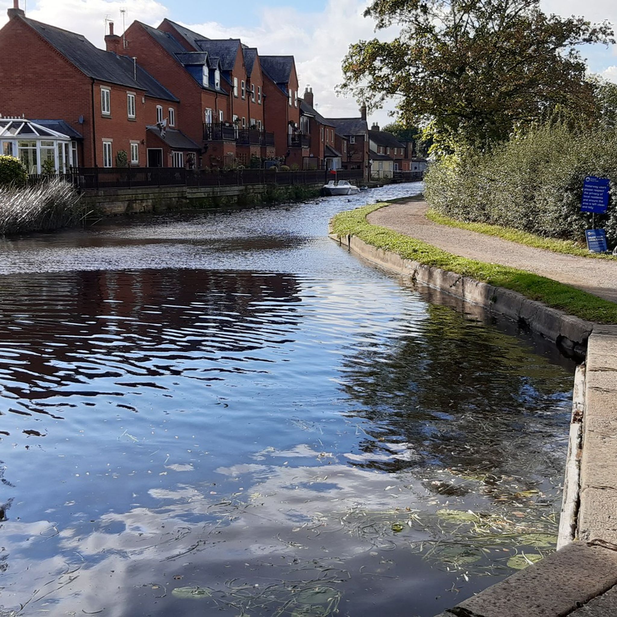
The disused Grantham Canal passes through the village and there is a large basin adjacent to the main road. This would have facilitated loading and mooring when the canal was in use. The basin now attracts a substantial population of swans and ducks.
0
0
Frequently Asked Questions
How many road cycling routes are available around Normanton On Soar?
There are over 430 road cycling routes around Normanton On Soar, catering to various skill levels. This includes approximately 130 easy routes, over 260 moderate routes, and nearly 30 more challenging options.
What kind of terrain can I expect on road cycling routes in Normanton On Soar?
The terrain around Normanton On Soar is generally characterized by its riverside setting, extensive agricultural fields, and open countryside. You'll find gently undulating landscapes with relatively low elevation gains, making it suitable for a wide range of fitness levels. Some routes, like the Ruined Church – Love & Piste Coffee Shop loop from East Leake, offer varied terrain with some hills.
Are there any easy road cycling routes suitable for beginners or casual riders?
Yes, there are many easy road cycling routes. For instance, the St Helena's Church, West Leake – Wysall Village loop from East Leake is an easy 30.2 km path that can be completed in about 1 hour 13 minutes, offering a gentle introduction to the area's cycling.
What are some scenic highlights or landmarks I might encounter on a road cycling route?
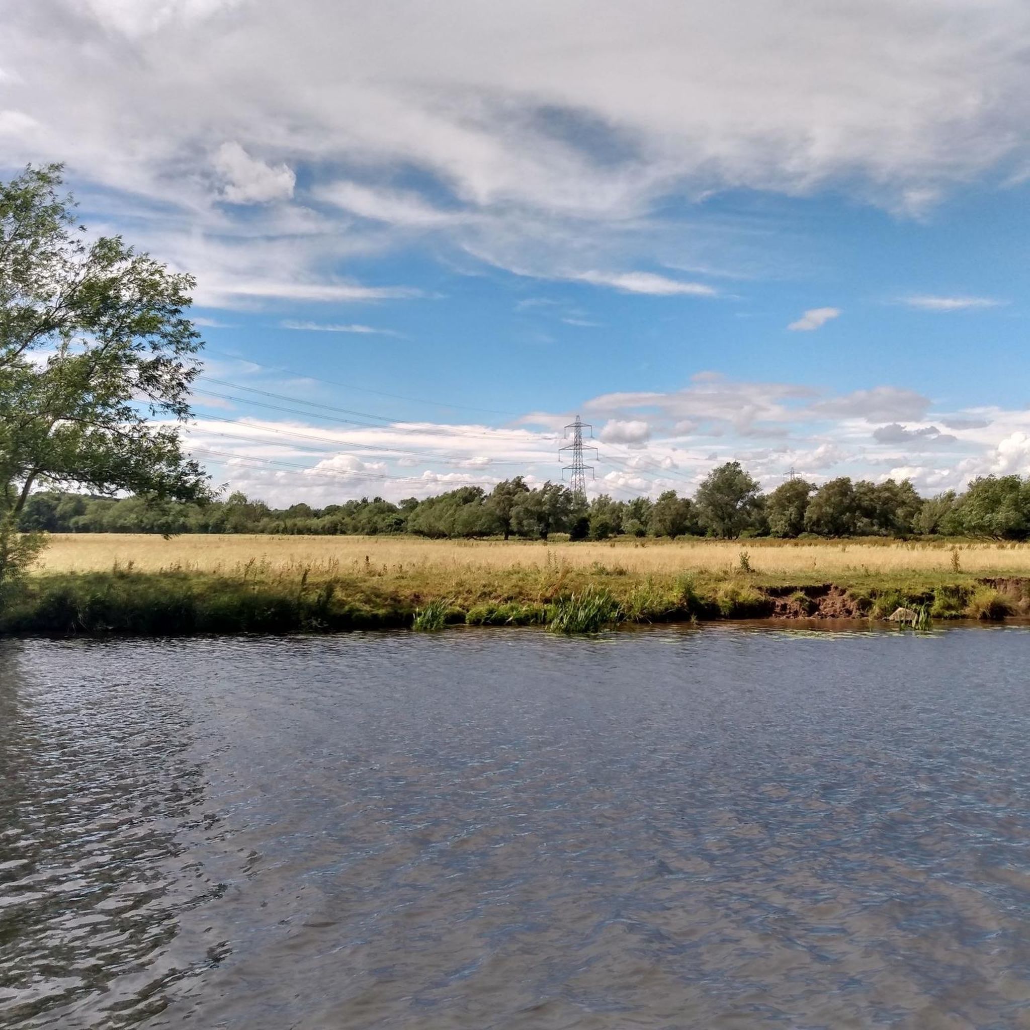
Road cycling routes often pass through picturesque agricultural fields and along the River Soar. You might also encounter historic architecture, such as St. James' Church in Normanton On Soar. Further afield, you could explore natural attractions like Attenborough Nature Reserve or Swithland Reservoir, which are popular highlights in the wider region.
Are there any circular road cycling routes available?
Yes, many routes in the area are designed as loops. For example, the Elvaston Castle Country Park – Telford's Warehouse loop from East Leake is a popular moderate circular route covering 48.9 km, offering a comprehensive tour of the local landscape.
What do other cyclists say about road cycling in Normanton On Soar?
The area is highly rated by the komoot community, with an average score of 4.6 stars from over 100 reviews. Cyclists often praise the varied terrain, the scenic views across agricultural fields, and the well-maintained paths that make for an enjoyable ride.
Are there options for longer road cycling routes in the area?
Absolutely. For those looking for longer rides, routes like the Bunny Hill Climb – Hickling Basin loop from East Leake span approximately 54.9 km, leading through agricultural fields and past the River Soar, typically taking around 2 hours 15 minutes to complete.
Can I find places to stop for refreshments along the routes?
Yes, the region offers several welcoming stops. The Plough Inn, situated by the River Soar in Normanton On Soar, is a local pub that provides refreshments. Many routes also pass through villages with cafes and other amenities.
Is Normanton On Soar well-connected to wider cycling networks?
While not directly originating within the village, Normanton On Soar serves as an excellent base to access the wider Nottinghamshire area's extensive network of cycle routes. This includes sections of the National Cycle Network, such as Route 6 and Route 64, which connect to larger towns and cities.
What is the best time of year for road cycling in Normanton On Soar?
The best time for road cycling in Normanton On Soar is generally from spring through autumn. During these seasons, the weather is more favorable, and the agricultural fields and riverside landscapes are at their most vibrant, offering pleasant conditions for riding.
Are there any unique attractions accessible by bike in the immediate vicinity?
A unique local attraction is the Normanton on Soar Chain Ferry, one of the last in the country. It operates on weekends from April to September and can transport bikes across the River Soar, offering a charming and practical way to extend your ride.
What are the elevation profiles like on the road cycling routes?
Most routes feature relatively low elevation gains, making them accessible. For example, the Hickling Basin – Quiet Road to Wymeswold loop from East Leake, a moderate 50.6 km route, has an elevation gain of around 280 meters, providing a good balance of challenge and enjoyment without overly strenuous climbs.
Most popular attractions around Normanton On Soar

Get inspired with the komoot mobile app


Explore more
Browse the best Road cycling routes in other regions.
