Routes

Planner

Features

Updates

App

Login or Signup

Get the App

Login or Signup

Routes
MTB trails

United States

Routes
MTB trails

United States

The best MTB trails in the United States of America

4.7

(7743)

159,859

riders

14,883

rides

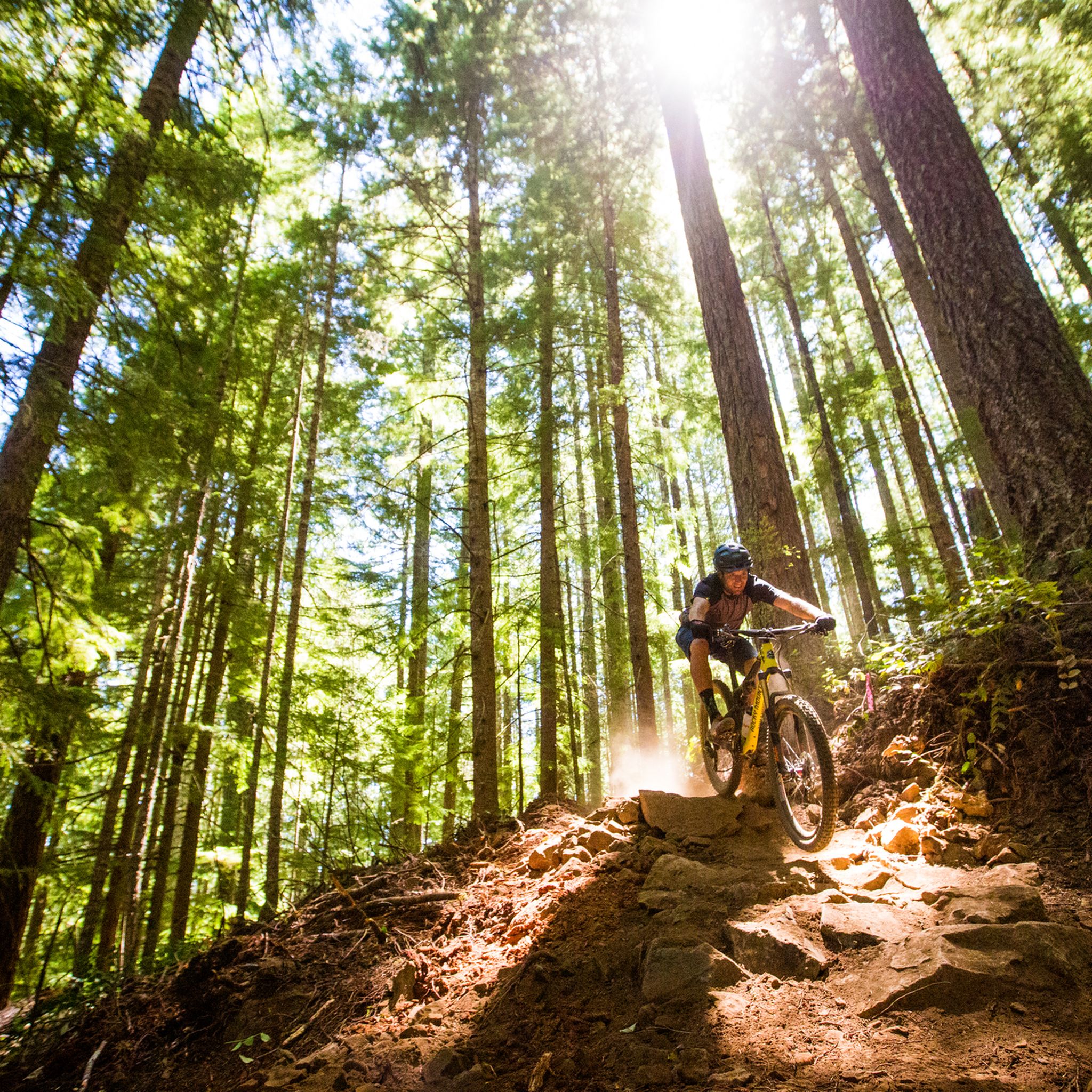
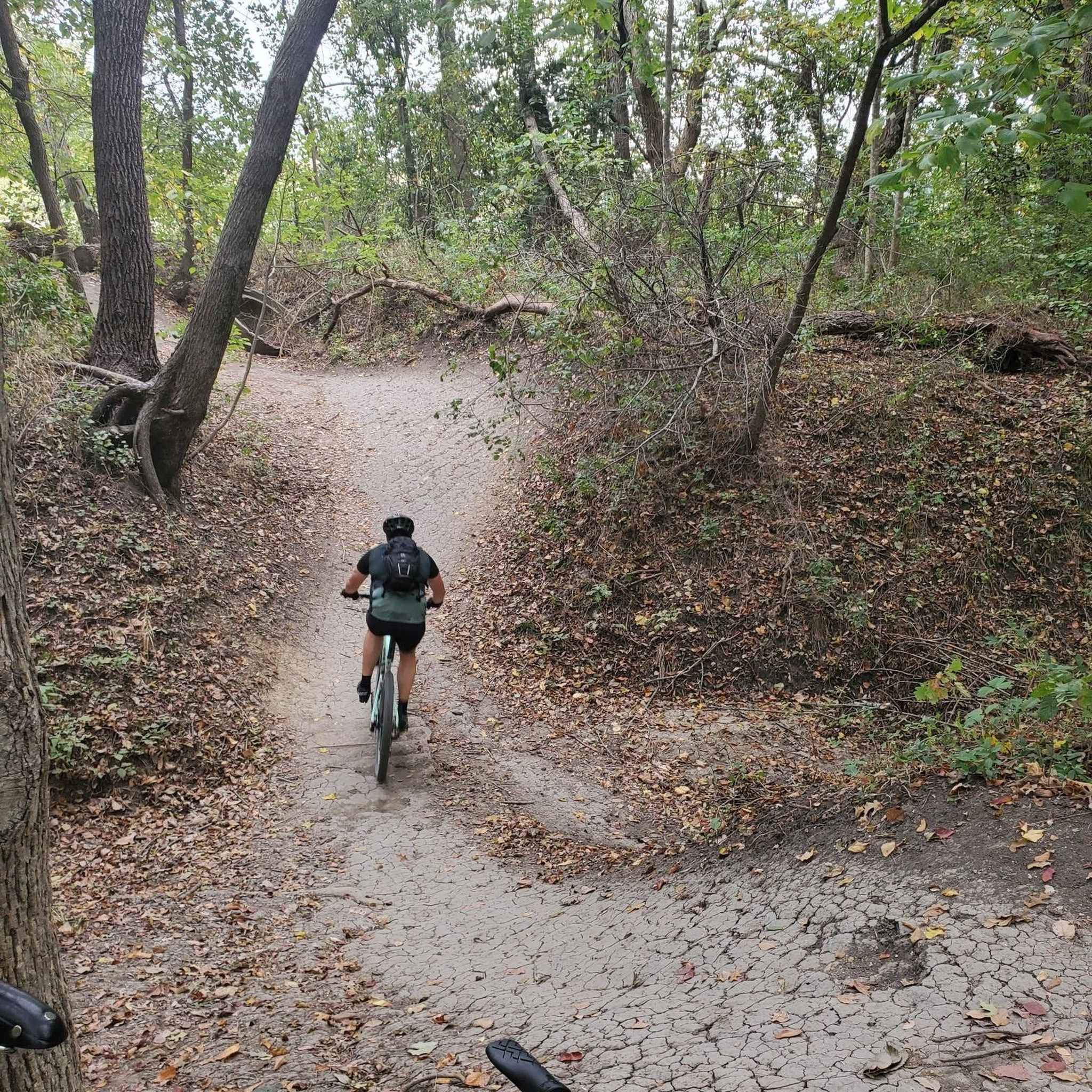
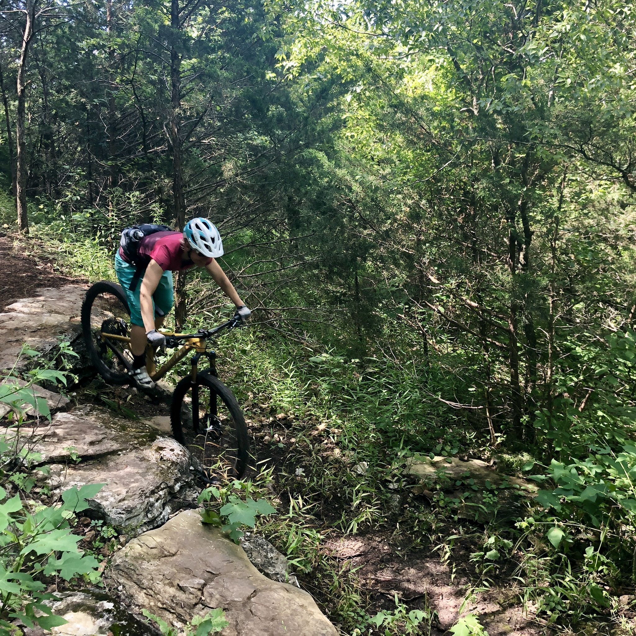
Mountain biking in the United States of America offers a vast array of landscapes, from the towering peaks of the Rockies and Sierra Nevada to the arid canyons and red rock deserts of the Southwest. The country's diverse geography includes extensive forest networks in the Pacific Northwest and Appalachians, alongside unique volcanic terrains and expansive lake regions. This variety provides a wide range of riding experiences, from high-altitude singletrack to desert flow trails.

Best mountain bike trails in the United States of America

  • The most popular mountain bike trail is The Whole Enchilada, a 35.4 miles (57.0 km) trail that takes 4 hours 10 minutes to complete. This difficult route descends from alpine forests into desert canyons, offering varied terrain and technical sections.
  • Another top favourite among local mountain bikers is Navajo Rocks Loop, a difficult 18.3 miles (29.4 km) path. This trail features classic slickrock riding and panoramic desert vistas.
  • Local mountain bikers also love the Pine, Green Valley, Hesitation Point, Lime Kiln, North Tower, a 21.0 miles (33.8 km) trail leading through varied forest and technical sections, often completed in about 3 hours 7 minutes.
  • Mountain biking in the United States of America is defined by majestic mountain ranges, expansive deserts, and dense forests. The extensive network of routes offers options for different ability levels, from beginner-friendly paths to advanced technical challenges.
  • The routes in United States are highly rated by the komoot community with an average score of 4.7 stars from over 7,100 reviews. More than 169,000 mountain bikers have used komoot to explore United States's varied terrain.

Last updated: July 8, 2026

5.0

(5)

395

riders

#1.

The Whole Enchilada

57.0km

04:10

620m

2,630m

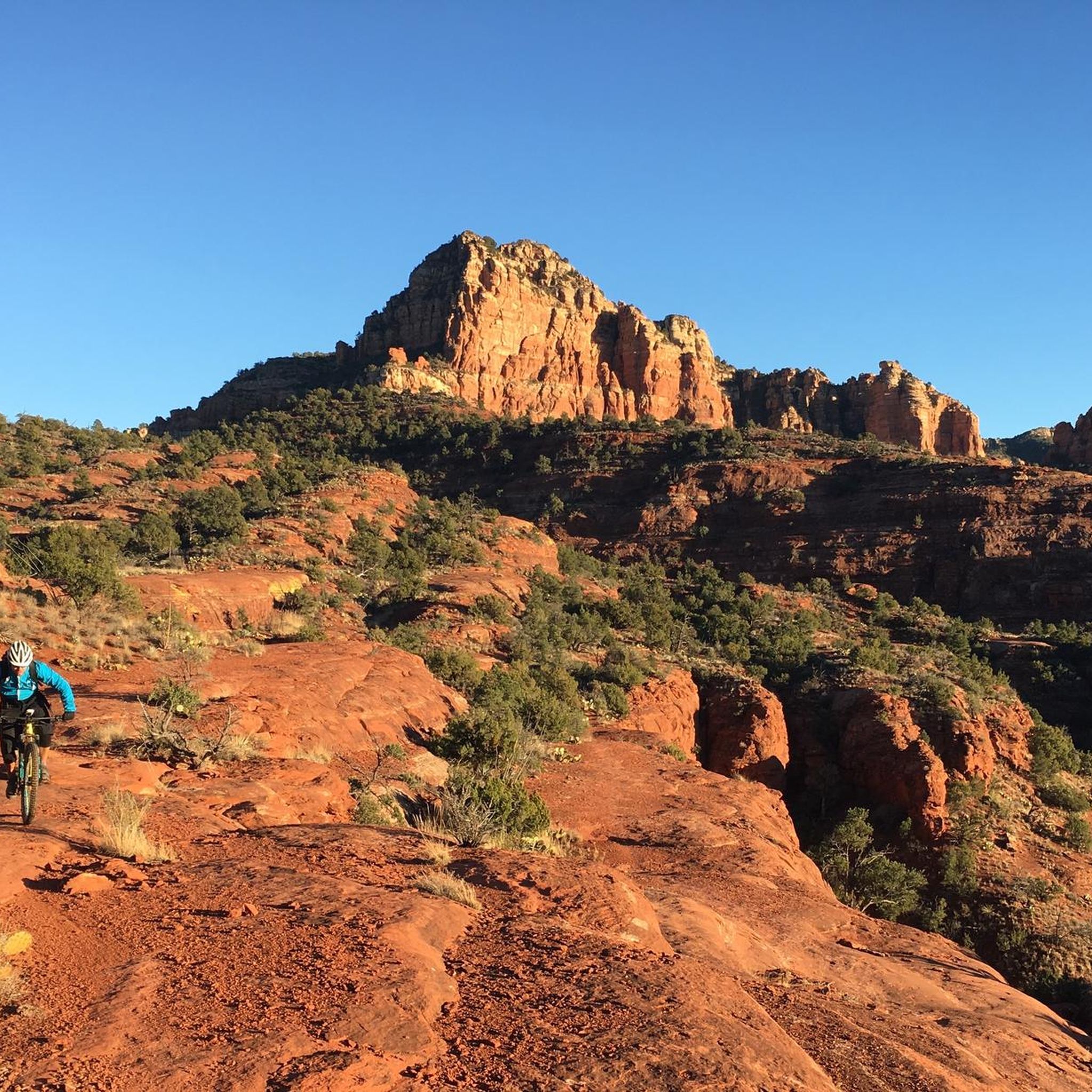
Imagine starting your ride amidst cool alpine forests and aspen groves, then rapidly descending into the iconic red rock canyons of Moab. The Whole Enchilada delivers a sensory overload, from the fast and flowy Hazard County section to the technical ledges and slickrock of Porcupine Rim, all while offering incredible vistas like the View of the Green Valley from Upper Porcupine Singletrack. This difficult 35.4-mile (57.0 km) mountain bike journey, with its dramatic 2037 feet (621 metres) of elevation gain, is a true test of skill and endurance, typically taking around 4 hours and 10 minutes.

Planning your ride requires attention to detail; the trail often begins at high alpine elevations, so be sure to check for seasonal closures due to snow. Since it's a point-to-point descent, most riders opt for a shuttle service to the trailhead. Self-sufficiency is key on this backcountry route, so pack ample water, food, and repair supplies, as cell service can be spotty. Note that e-bikes are generally not permitted on large portions of the trail system.

What makes The Whole Enchilada truly iconic is its unparalleled variety of terrain and the massive 7,000-foot elevation drop through multiple climate zones. It's renowned globally for combining nearly every type of riding Moab has to offer, from alpine singletrack to challenging slickrock, making it a bucket-list experience for advanced mountain bikers. The sense of accomplishment upon completing this demanding ride is immense, solidifying its status as one of the world's most memorable mountain bike adventures.

Navigate with device

Send to Phone

Save

Hard

4.9

(9)

343

riders

29.4km

02:46

400m

420m

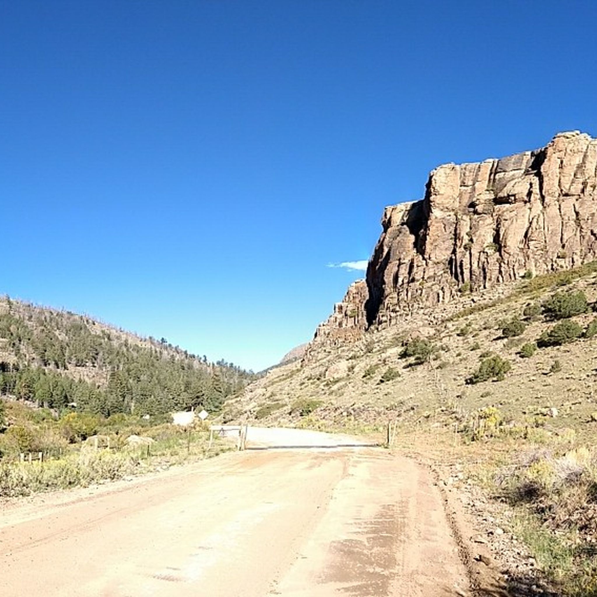
Prepare for a challenging mountain biking adventure on the Navajo Rocks Loop, a difficult 18.3-mile (29.4 km) route that takes about 2 hours and 45 minutes to complete. You will climb 1299 feet (396 metres) through quintessential Moab desert scenery, encountering a dynamic mix of slickrock, dirt singletrack, and packed clay. Look out for impressive sandstone cliffs, spires of Entrada sandstone, and the striking Big Mesa, with distant views of the La Sal Mountains.

This trail is well-marked with paint stripes and signage, making navigation straightforward as you ride. It drains well, so you can consider it even after rain, but be aware of the significant lack of shade throughout the route. If you plan to bring a dog, remember that the abrasive slickrock can be tough on their paws.

The Navajo Rocks Loop offers a diverse and engaging ride, linking trails like Rocky Tops and Coney Island with flowy sections and technical challenges. As you navigate the consistent ups and downs, be mindful of cryptobiotic soil, especially on sections like the Ramblin' trail, and always stay on the marked paths to protect this delicate ecosystem.

Hard
guide_signup
Let us show you the way with the komoot mobile app
With a free komoot account, you can easily find, customize, and navigate endless outdoor adventures.

Sign up for free

5.0

(2)

145

riders

29.9km

02:01

230m

1,210m

The Porcupine Rim Trail offers an iconic and challenging mountain biking adventure through Moab's rugged desert landscape. This route is a masterclass in technical riding, featuring a thrilling mix of slickrock, rocky singletrack, and double-track jeep road. You'll be treated to spectacular 360-degree panoramic views, including the breathtaking vista of Castle Valley from the rim, before descending towards the Colorado River, where the trail becomes particularly exposed and demanding.

This difficult 18.6-mile (29.9 km) trail, with 767 feet (234 metres) of elevation gain, typically takes around 2 hours to complete. Given its technical nature and the constant jarring, a full-suspension mountain bike is highly recommended. Many riders opt for a shuttle service to the trailhead to maximize the downhill experience, making it a predominantly descending ride. Plan your visit for spring or fall to avoid extreme temperatures, and always carry ample water.

Porcupine Rim is celebrated as one of Moab's most famous and classic mountain biking trails, often considered a must-do for experienced riders. It forms the challenging final section of the even longer "The Whole Enchilada" trail, cementing its place in mountain biking history. The combination of its epic descent, technical challenges, and stunning desert scenery makes it an unforgettable, adrenaline-pumping experience for those with advanced skills.

Hard

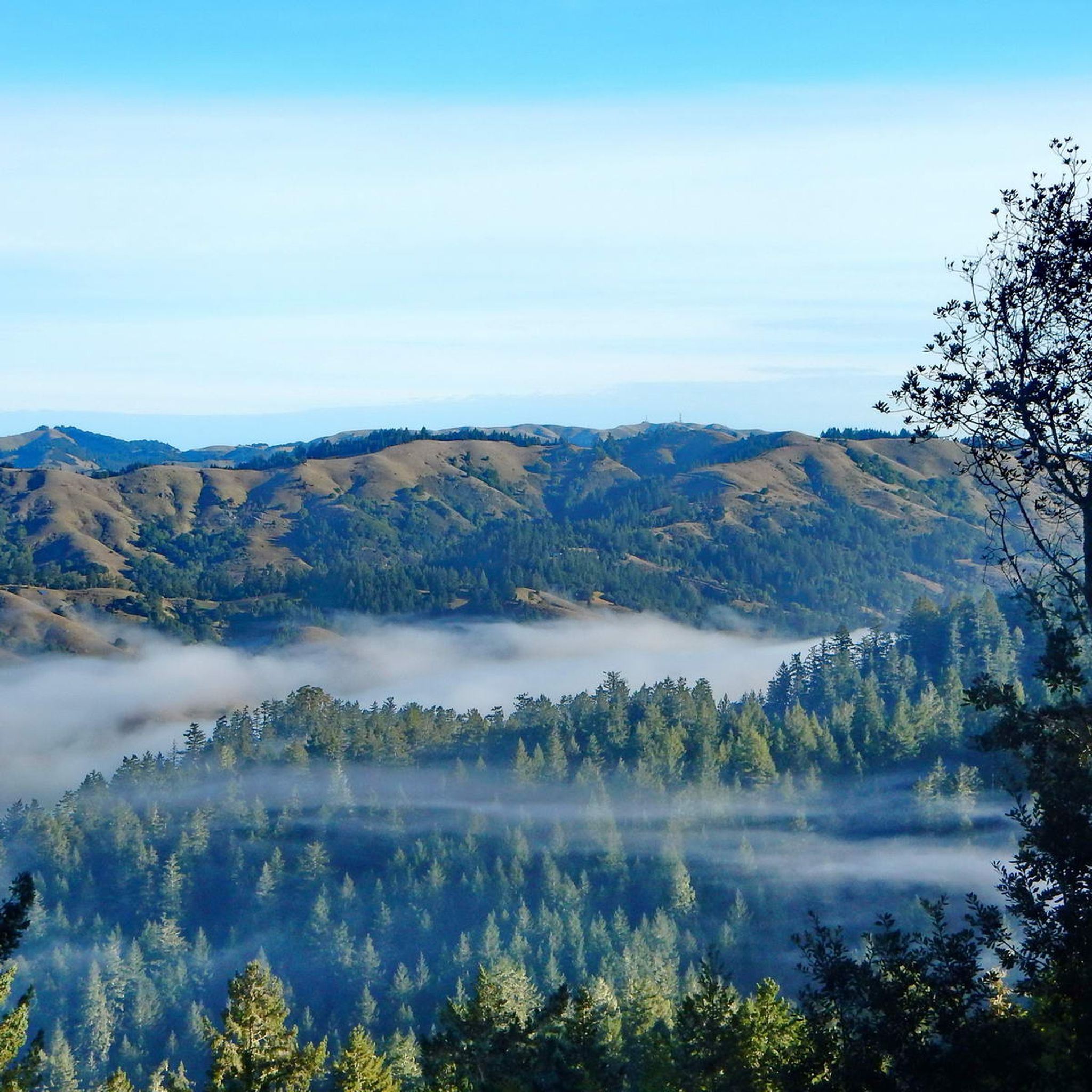
Embark on a challenging mountain bike adventure through the diverse landscapes of Brown County State Park. This difficult 21.0-mile (33.8 km) route, known as Pine, Green Valley, Hesitation Point, Lime Kiln, North Tower, will test your skills with a total elevation gain of 1618 feet (493 metres). You can expect to spend around 3 hours and 7 minutes navigating its varied terrain, from the flowing sections of Lime Kiln to the more rugged paths of Green Valley, all while immersed in a natural, wooded environment.

Access this extensive trail system from various points within Brown County State Park, including the North Gate Trailhead. When planning your ride, be mindful that Hesitation Point is a two-way trail; if you are descending, you must yield to riders who are climbing. This ensures a safer and more enjoyable experience for everyone on the path.

This route combines several popular sections of Brown County's renowned network, showcasing why the park is considered an IMBA-epic trail system. As you tackle the steep climb on Hesitation Point, you will pass the foundation of a CCC cabin at its base, offering a glimpse into the area's history amidst the technical features and natural beauty.

Hard

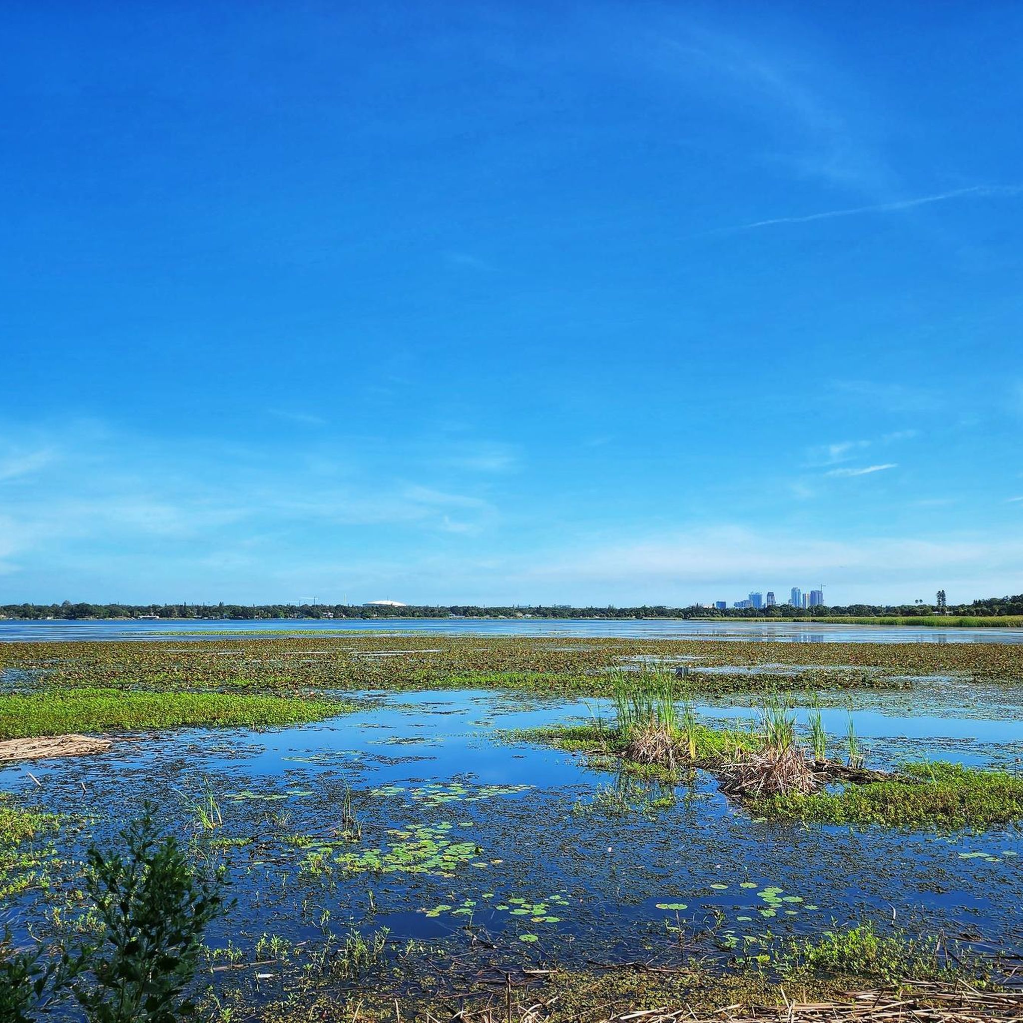
The Markham Park: Warmup, Fishing Hole, Bermuda Triangle Loop offers a delightful mountain biking experience through varied South Florida landscapes. You'll pedal through open meadows, shaded forests, and enjoy scenic lakeside ridges, especially around the Fishing Hole Loop. The smooth singletrack provides a relaxed ride, making it an excellent choice for those new to mountain biking or looking for a casual outing.

Planning your visit requires a stop at the park office to sign a waiver and purchase an access card, either daily or annual. Helmets are a must for all riders on these trails. The park is known for its volunteer maintenance, ensuring good trail conditions, and it's best to check Markham Park mountain biking trail conditions before heading out, especially during the rainy season.

This 5.8-mile (9.4 km) easy loop, with a minimal 32 feet (10 metres) of elevation gain, takes about 44 minutes to complete. It's a fantastic introduction to the larger Markham Park system, which is renowned as one of South Florida's best mountain biking spots. Beyond the main trails, the park also features a pump track and a freeride/dirt jump area near the trailhead for honing skills.

Easy

4.0

(2)

124

riders

Get ready for a classic Central Oregon mountain biking adventure on the Ben's, Pinedrops and Phil's Trail Loop. This moderate route guides you through an open Ponderosa pine forest, offering 15.4 miles (24.7 km) of flowing singletrack. You will encounter mellow climbs, particularly on Ben's Trail, and fun, twisting descents, gaining 1203 feet (367 metres) of elevation over an estimated 2 hours and 18 minutes. Look forward to the smooth, downhill sections of Phil's Trail, known for its big berms and rolling bumps, often called 'whoops', that you can pump for extra speed.

Planning your ride is straightforward, as the Phil's trailhead is a popular and well-equipped starting point. You will find restrooms, ample parking, and helpful signs there. If you are coming from Bend, you can even access the trailhead directly via a dedicated bike path. The best time to enjoy this trail is generally from early spring through late fall, but always remember to check local conditions, especially for snowpack, with area bike shops before you head out.

This loop offers a true immersion into the high desert landscape, characterized by dense Ponderosa pines and Manzanita bushes. The combination of Ben's, Pinedrops, and Phil's Trails creates a dynamic and engaging ride that showcases the region's best singletrack. It is a prime example of why Central Oregon is a renowned destination for mountain biking, providing a memorable experience for riders seeking both flow and scenic beauty.

Moderate

Embark on the Shy Ann, Rainmaker, and Green World Loop for a challenging mountain biking adventure that spans 11.1 miles (17.8 km). This difficult route demands skill as you navigate varied terrain, from dense wooded sections to open ski runs offering expansive views. You will conquer a significant 1929 feet (588 metres) of elevation gain, with the entire ride estimated to take around 1 hour and 58 minutes, pushing your limits on groomed berms and thrilling jumps.

To access this exciting loop, you will need to visit the Trestle Bike Park at Winter Park Resort. Typically, you will reach the trails by taking a lift to the summit, so plan accordingly for lift ticket purchases. Parking is readily available at the resort, but always check the Trestle Bike Park's official website for current operating hours, lift schedules, and any seasonal conditions before you head out.

This loop is a highlight within the renowned Trestle Bike Park, offering a diverse experience across its named trails. You will find yourself tackling the adrenaline-pumping features of the black diamond Rainmaker trail, known for its sculpted berms and jumps. The Green World section then provides a scenic contrast, guiding you through lush areas with charming wooden stream crossings, perfect for a brief pause.

Hard

107

riders

Get ready for a moderate mountain biking adventure on the Funner and Tiddlywinks Loop, a 12.9-mile (20.8 km) route that offers a dynamic change of scenery. You will start in a high desert landscape, then quickly transition into the vibrant, green Deschutes National Forest. The trail climbs 1330 feet (405 metres) through thick forests on the Funner section, providing a rewarding workout. As you descend on Tiddlywinks, you will experience winding paths through dense woods and open, logged areas, keeping your ride engaging for about 2 hours and 35 minutes. This loop provides a comprehensive and varied visual experience from start to finish.

The Funner and Tiddlywinks Loop is part of the well-known Wanoga trail system, making it easy to access. You will find general parking available at the trailheads located within the Wanoga area, so plan to arrive early on busy days. While there are no specific warnings for snow or closures mentioned, it is always a good idea to check local conditions before you head out. This ensures you have the best possible experience on the trail.

This loop is a highlight for mountain bikers near Bend, Oregon, offering a complete experience within the Deschutes National Forest. The route is known for its well-maintained paths, making it a reliable choice for a fun ride. You will appreciate how the trail seamlessly blends different environments, from high desert to lush forest, all within one continuous loop.

Moderate

5.0

(1)

100

riders

19.5km

01:27

150m

820m

The Raptor Route offers a compelling mountain biking experience through Moab's iconic red rock country, blending flowy singletrack with classic slickrock and sandy sections. As you ride, you'll be treated to captivating views of the Abajo, Henrys, and La Sal Mountain ranges, with Hawk's Glide specifically boasting 360-degree panoramas. This 12.1-mile (19.5 km) route, with 503 feet (153 metres) of elevation gain, provides a moderate challenge, making it a local favorite for its diverse terrain and stunning desert vistas.

Planning your visit to the Raptor Route requires a few considerations. The trail is located within the Sand Flats Recreation Area, so an entrance fee is necessary. While the estimated duration is around 1 hour and 27 minutes, always account for stops to enjoy the scenery. E-bikes are permitted on most sections, including Hawk's Glide, Falcon Flow, and Kestrel Run, but are prohibited on Eagle Eye and certain parts of the Whole Enchilada, so check the specific rules for your ride.

This trail system is particularly notable as a safer, intermediate alternative to the highly technical Porcupine Rim for finishing the iconic Whole Enchilada ride. It allows riders to experience a world-class descent without the same risk of extreme technical challenges, making it a 'game-changer' for many. The Raptor Route mountain biking terrain elevation difficulty is well-balanced, providing advanced moments and stunt opportunities without being overly daunting, making it ideal for intermediate riders or advanced riders seeking a high-speed, fun experience.

Moderate

Embark on the Tortoise, Copperhead Gap and White Tail Trail Loop, a moderate mountain biking adventure spanning 14.6 miles (23.5 km) with an elevation gain of 1143 feet (348 metres). You can expect to complete this route in about 2 hours and 11 minutes. The trail offers classic cross-country singletrack, winding through a diverse mix of pine and hardwood forests. As you ride, you'll encounter sections of the White Tail trail that drop down to a creek, crossing multiple bridges along the way. Keep an eye out for the historic "Champagne Hill" on the White Tail trail, which presents a good, moderate climb.

This loop is situated within the larger Chicopee Woods Mountain Bike Park. Parking is generally available directly at the park, making access straightforward for your ride. The trails are diligently maintained by volunteers from Northeast Georgia SORBA, ensuring a quality riding experience for everyone. Plan your visit during daylight hours to fully enjoy the varied terrain and forest scenery.

The Tortoise, Copperhead Gap and White Tail Trail Loop stands out for its varied terrain, offering more rapid elevation changes, bigger roots, and larger rocks on the Copperhead Gap section. You'll even find some fun "whoops" designed for catching air. This route is part of a comprehensive network of 21 miles of cross-country singletrack within Chicopee Woods, providing ample opportunities for extended rides or future explorations.

Moderate
Sign up for free to see 14,874 more rides in the United States of America.

Get access to more routes and recommendations from other explorers.

Sign up for free

Already have an account?

Our route recommendations are based on thousands of hikes, rides, and runs completed by other people on komoot.

Start today with a free account

Your next adventure awaits.

Login or Signup
Popular around United States

MTB Trails in Utah

MTB Trails in Colorado

MTB Trails in California

MTB Trails in Florida

MTB Trails in Arizona

MTB Trails in Oregon

MTB Trails in Texas

MTB Trails in Washington

MTB Trails in Arkansas

MTB Trails in Virginia

Other adventures in the United States of America

The Colorado Trail — Ten incredible days in the Rocky Mountains

Mountain Biking Collection by

Joey

Tips from the Community

Jorge
October 20, 2025, Markham Park

One of the best in South Florida aside from Alafia and Loyce Harpe

0

0

Nice place for camping, cycling and hanging out with family and friends

Translated by Google

1

0

The fire tower is a must-see. It's best to climb to the top and see how far you can see. Access to the dome was closed a few years ago. Originally, two fire towers were visible, one in the Hoosier National Forest and one in the Morgan Monroe Forest.

Translated by Google

1

0

Nice place for camping, cycling and hanging out with family and friends

Translated by Google

1

0

This is a breathtaking view point along Upper Porcupine Singletrack, with amazing views of the green valley surrounded by red stone towers. Take a moment and enjoy.

0

0

The trailhead for the popular Grandstaff Canyon Trail, which takes you to Morning Glory Natural Bridge, begins at the mouth of Grandstaff Canyon, about 3 miles from the junction of US 191 and Highway 128. There is limited parking to be sure to get there early to ensure you get a spot!

0

0

Hesitation Point is the name of both a peak and an official overlook pullout right off of West Gate Entrance Road. This point has an elevation of 1,003 feet and you can get additional views of the area from the trail that leaves from this parking area.

0

0

The Hoosiers Nest Shelter is a small two-story log cabin. It is located on a large open field with picnic tables. There is also a vault toilet and drinking water on site.

0

0

Frequently Asked Questions

How many mountain bike trails are available in the United States?

The United States offers a vast network of mountain bike trails, with over 14,000 routes recorded on komoot. These include a wide range of difficulties, with approximately 4,700 easy, 6,000 moderate, and 3,500 difficult trails to explore.

What kind of landscapes can I expect to encounter while mountain biking in the United States?

Mountain biking in the U.S. provides an incredible diversity of landscapes. You can ride through majestic mountain ranges like the Rockies and Sierra Nevada, explore arid canyons and red rock deserts in the Southwest, or navigate extensive forest networks in the Pacific Northwest and Appalachians. Unique volcanic terrains and expansive lake regions also offer distinct riding experiences.

Are there mountain bike trails suitable for beginners in the United States?

Yes, there are numerous beginner-friendly mountain bike trails across the United States. For instance, the Markham Park: Warmup, Fishing Hole, Bermuda Triangle Loop in Florida is an easy route, perfect for those starting out. Overall, komoot lists over 4,700 easy mountain bike routes in the country.

Where can I find advanced mountain bike trails in the United States?

For experienced riders seeking a challenge, the U.S. boasts over 3,500 difficult mountain bike trails. Notable examples include The Whole Enchilada, a renowned 35.4-mile trail descending from alpine forests into desert canyons, and the Navajo Rocks Loop, known for its classic slickrock riding and panoramic desert vistas.

Are there long-distance mountain bike trails in the United States?

Absolutely. The United States is home to many long-distance mountain bike trails. A prime example is The Whole Enchilada, which spans over 35 miles and offers an epic journey through diverse terrain. Many regions, like the extensive Arizona Trail, also provide hundreds of miles of riding opportunities.

Can I find loop trails for mountain biking in the United States?

Yes, loop trails are a popular option for mountain bikers in the U.S. You can find many circular routes, such as the Navajo Rocks Loop, the Ben's, Pinedrops and Phil's Trail Loop, or the Hurricane Rim Loop, which allow you to start and finish at the same point.

When is the best time of year for mountain biking in the United States?

The best time for mountain biking in the U.S. varies significantly by region due to the country's diverse climate. Generally, spring and fall offer ideal conditions in many areas, with pleasant temperatures and vibrant scenery. High-altitude trails in mountain ranges are best in summer, while desert regions like Arizona and Utah are popular in cooler months, including winter.

What interesting landmarks or attractions can I see near mountain bike trails in the United States?

Many mountain bike trails in the U.S. are located near fascinating landmarks. You might encounter historical sites like Belvedere Castle or Castillo de San Marcos. Some trails also pass by unique natural features or offer access to facilities like the Timberline Lodge or the remote Phantom Ranch.

Are there many singletrack trails for mountain biking in the United States?

Yes, the United States is renowned for its extensive singletrack networks. Destinations like Vermont's Kingdom Trails, particularly around East Burke, offer over 85 miles of world-class, well-maintained singletrack. Many national parks and forests across the country are also actively developing and expanding singletrack options for mountain bikers.

What do other mountain bikers enjoy the most about mountain biking in the United States?

The mountain biking experience in the United States is highly rated by the komoot community, with an average score of 4.7 stars from over 7,100 reviews. Riders frequently praise the incredible diversity of terrain, from challenging technical descents to flowy singletrack, as well as the stunning natural beauty and well-maintained trail systems found across the country.

Are there family-friendly mountain biking options in the United States?

Yes, many regions in the United States offer mountain biking trails suitable for families. These often include smoother, less technical paths with gentler gradients. While specific family-friendly routes vary by location, easy-rated trails, such as the Markham Park: Warmup, Fishing Hole, Bermuda Triangle Loop, are generally good starting points for families.

Are there mountain bike trails with significant elevation changes in the United States?

The United States offers numerous mountain bike trails with substantial elevation changes, particularly in its many mountain ranges. Trails like The Whole Enchilada are famous for their long descents, dropping over 2,600 meters. Conversely, many routes also feature challenging climbs, providing a full workout for riders.

Most popular routes in the United States of America

Hiking in the United States of America

Most popular attractions in the United States of America

Natural Monuments

Store rating

Get inspired with the komoot mobile app

With a free komoot account, you can easily find, customize, and navigate endless outdoor adventures.

or

Join komoot Now

Store rating

Didn’t find what you were looking for?

Check out more MTB trails throughout United States below and find the perfect route in your destination.

VirginiaAguadillaMassachusettsNew HampshireKansasOklahomaArkansasSouth DakotaMississippiGeorgiaWyomingUtahWest VirginiaDelawareConnecticutSouth CarolinaPuerto RicoCarolinaMarylandRhode IslandSabana Grande MunicipioCiales MunicipioAguada MunicipioYauco MunicipioPonce MunicipioBayamón MunicipioVillalba MunicipioGuaynabo MunicipioSan Germán MunicipioLajas MunicipioJuana DíazPatillas MunicipioGurabo MunicipioHatillo MunicipioLuquillo MunicipioUtuado MunicipioOregon Islands WildernessCeiba MunicipioToa Alta MunicipioManat MunicipioCaguasCayeyCidraFajardoGuayamaGuayanillaGuaynaboHumacaoIsabelaJuana DíazLajasLas MaríasLuquilloNaguaboPonceSalinasSan JuanToa BajaTrujillo AltoVega AltaVega BajaYaucoMaineNew JerseyNevadaUnited States Virgin IslandsHonolulu CountyFajardo MunicipioNaguabo MunicipioPeñuelas MunicipioHumacao MunicipioMoca MunicipioGuayama MunicipioDorado MunicipioArecibo MunicipioArroyo MunicipioIsabela MunicipioSan Sebastián MunicipioKentuckyCaliforniaCeibaDoradoManatíPeñuelasSanta IsabelUtuadoAppalachian MountainsTexasOhioWisconsinLas Marías MunicipioMayagüezAreciboGuánicaMorovis MunicipioHawaiiMinnesotaSan FranciscoQuebradillas MunicipioTrujillo Alto MunicipioSan Juan MunicipioSalinas MunicipioCoamo MunicipioRincon MunicipioLoíza MunicipioVega Alta MunicipioToa Baja MunicipioBarceloneta MunicipioCayey MunicipioCarolina MunicipioFlorida MunicipioCaguas MunicipioCamuy MunicipioRío Grande MunicipioLaresNew YorkDistrict Of ColumbiaAguadilla MunicipioGuayanilla MunicipioLares MunicipioMocaGuanica MunicipioNorth CarolinaAibonito MunicipioWashingtonVillalbaCoamoRincónOregonArroyoPennsylvaniaSabana GrandeMontanaSanta Isabel MunicipioPatillasIdahoSan GermánHormiguerosBayamónNew MexicoVermontHormigueros MunicipioCidra MunicipioCabo Rojo MunicipioCabo RojoNorth DakotaIllinoisAasco MunicipioNebraskaCamuyLouisianaArizonaVega Baja MunicipioAlaskaAlabamaMissouriQuebradillasRío GrandeCatañoCialesMaui CountyColoradoTennesseeAguadaFloridaIowaMichiganMorovisIndianaWashington D.CCata O MunicipioAibonitoFloridaHatilloGuraboToa AltaSan FranciscoBarcelonetaAñascoSan Sebastián

Other places to explore

Forests in United States

Nearby adventure guides

Things to Do in Selway-Bitterroot Wilderness

background

Get ready to conquer new peaks

Sign up for Free

Explore
RoutesRoute plannerFeaturesHikesMTB TrailsRoad cycling routesBikepackingSitemap
Download the app
Follow Us on Socials

© komoot GmbH

Privacy Policy