The best walks and hikes in El Salvador
4.5
(84)
857
hikers
11
hikes
Hiking in El Salvador offers diverse landscapes, characterized by numerous volcanic peaks, lush cloud forests, and impressive waterfalls. The country's terrain includes accessible volcanoes with crater lakes, dense forest trails, and routes leading to natural pools. These features provide varied elevation and scenery for outdoor activities.
Best hiking trails in El Salvador
- The most popular hiking route is Santa Ana Volcano Crater – Ascent to Santa Ana volcano loop from Volcán de Santa Ana, a 4.2 miles (6.8 km)…
Last updated: August 1, 2026
4.8
(68)
781
hikers
Moderate hike. Good fitness required. Easily-accessible paths. Suitable for all skill levels.
3.5
(2)
16
hikers
7.43km
02:14
240m
240m
Moderate hike. Good fitness required. Easily-accessible paths. Suitable for all skill levels.

Sign up for free
4.6
(5)
35
hikers
3.73km
01:21
210m
210m
Easy hike. Great for any fitness level. Easily-accessible paths. Suitable for all skill levels.
4.7
(3)
15
hikers
Moderate hike. Good fitness required. Easily-accessible paths. Suitable for all skill levels.
5.0
(2)
12
hikers
16.7km
04:49
420m
420m
Moderate hike. Good fitness required. Easily-accessible paths. Suitable for all skill levels.
5.0
(1)
13
hikers
5.65km
01:35
110m
110m
Easy hike. Great for any fitness level. Easily-accessible paths. Suitable for all skill levels.
7
hikers
23.5km
07:53
1,180m
1,180m
Hard hike. Very good fitness required. Easily-accessible paths. Suitable for all skill levels.
3.0
(1)
7
hikers
12.5km
03:33
280m
280m
Moderate hike. Good fitness required. Easily-accessible paths. Suitable for all skill levels.
4.5
(2)
8
hikers
4.37km
01:10
40m
40m
Easy hike. Great for any fitness level. Easily-accessible paths. Suitable for all skill levels.
5.0
(2)
9
hikers
3.42km
01:02
120m
120m
Easy hike. Great for any fitness level. Easily-accessible paths. Suitable for all skill levels.
Our route recommendations are based on thousands of hikes, rides, and runs completed by other people on komoot.
Start today with a free account
Your next adventure awaits.
Login or Signup

Tips from the Community

The Santa Ana volcano plays a vital role in the economic and cultural development of the region of El Salvador. On the one hand, it provides a source of agricultural activity, as the nutrient-rich volcanic soils support fertile crops. This has not only contributed to increased agricultural productivity but also to the diversification of local crops. The soils are ideal for growing coffee, fruits, and tropical vegetables, which has led to job creation and improved living standards for the local population.
0
0

Best pupusas I have eaten in El Salvador. Nice old lady who serves them. 10/10 would recommend.
0
0

Takes an hour walk more or less not particularly strenuous just rocky last 20
0
0


From Santa Ana, the beginning of the trail is easily accessible by bus. Departure is every morning at 7:30. It only runs once a day and the stop is near the Super Selectos supermarket. After a 2 hour drive you get to the top of the volcano. There are various guides who want to convey to you that you absolutely need a guide for this hike, but that's not true. You can easily do them yourself and save the $3. Just follow my map the beginning is not so easy to find. After a few hundred meters there is a hut where you still have to pay 6 dollars for the national park and then you can start. The view and the view into the crater are really worth it, and in our place someone even sold ice cream almost at the top.
3
1

Can get very windy and rough. If necessary, take a jacket with you.
1
0

It is a beautiful church on Parque Central in the romantic colonial town of Suchitoto. The church is one of the few attractions in town. Not big but worth a quick visit in my opinion.
1
0
Frequently Asked Questions
How many hiking trails are available in El Salvador?
El Salvador offers a diverse range of hiking experiences, with over 10 routes documented on komoot. These trails explore the country's unique volcanic landscapes, lush cloud forests, and impressive waterfalls.
What is the best time of year to go hiking in El Salvador?
The dry season, typically from November to April, is generally the best time for hiking in El Salvador. During these months, you can expect clearer skies and more comfortable temperatures, making volcanic ascents and forest trails more enjoyable. The rainy season (May to October) can bring lush greenery but also muddy trails and potential for sudden downpours.
What kind of terrain can I expect on El Salvador's hiking trails?
El Salvador's hiking terrain is incredibly varied, dominated by volcanic landscapes, cloud forests, and river valleys. You can expect trails that ascend active and extinct volcanoes, paths through dense, humid forests, and routes leading to waterfalls and natural pools. Surfaces can range from volcanic ash and rock to forest floor and sometimes require scrambling.
Are there easy hiking trails suitable for beginners in El Salvador?
Yes, El Salvador has several easy hiking options perfect for beginners or those looking for a relaxed walk. For example, the Tamanique Waterfall loop from Tamanique is an easy 2.1-mile (3.3 km) trail leading through a forested area to freshwater pools. Another easy option is the Forest Path loop from Colonia El Rosal.
Can I find challenging or advanced hiking routes in El Salvador?
Absolutely. For experienced hikers seeking a challenge, El Salvador offers difficult routes, particularly on its higher volcanoes. One such demanding trail is the Hiking loop from La Unión, which covers 14.6 miles (23.5 km) with significant elevation gain, providing a strenuous but rewarding experience.
Are there any circular hiking routes in El Salvador?
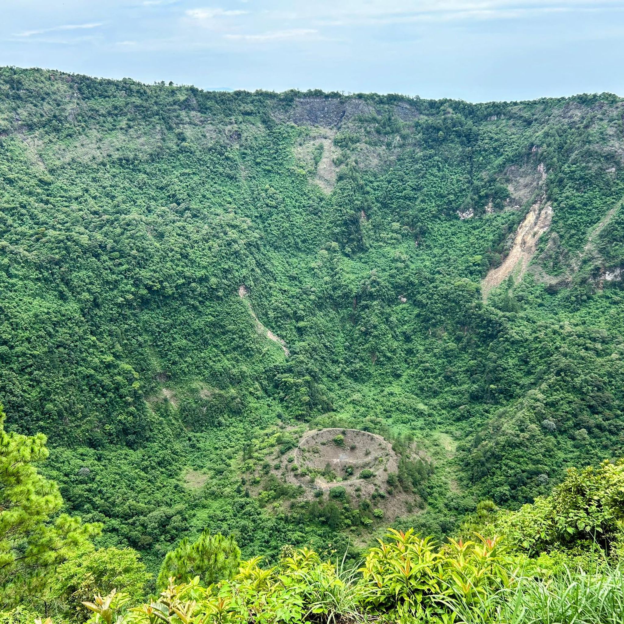
Yes, many of El Salvador's hiking trails are designed as loops, allowing you to experience diverse scenery without retracing your steps. Popular circular routes include the Santa Ana Volcano Crater – Ascent to Santa Ana volcano loop from Volcán de Santa Ana, the Boquerón Crater loop from San Salvador Volcano, and the Laguna Verde loop from Apaneca.
Where can I find waterfalls on hiking trails in El Salvador?
El Salvador is home to impressive waterfalls that can be reached via hiking trails. The Tamanique Waterfall loop from Tamanique leads to refreshing freshwater pools. Other notable waterfall areas include Las Siete Cascadas near Juayúa, known for its rugged trails and multiple cascades, and Chorros de la Calera, offering shimmering falls and cool swimming spots.
Are there any hikes that offer views of crater lakes?
Yes, El Salvador's volcanic landscape provides stunning opportunities to hike to crater lakes. The Santa Ana Volcano Crater – Ascent to Santa Ana volcano loop from Volcán de Santa Ana trail culminates in panoramic views of a vibrant turquoise crater lake. The region also features the magnificent Lake Coatepeque, a stunning aquamarine volcanic crater lake visible from various viewpoints, including Cerro Verde National Park.
What are some notable landmarks or viewpoints I can visit while hiking?
El Salvador's hiking trails often lead to or pass by significant natural landmarks and viewpoints. The Boquerón Crater loop from San Salvador Volcano offers views of San Salvador and Lake Ilopango. You can also visit the iconic Santa Ana Volcano Crater. For cultural interest, the Santa Lucía Church of Suchitoto loop from Suchitoto includes a visit to the historic Santa Lucía Church of Suchitoto.
What do other hikers enjoy the most about hiking in El Salvador?
The komoot community highly rates hiking in El Salvador, with an average score of 4.4 stars from over 60 reviews. Hikers frequently praise the diverse volcanic landscapes, the beauty of the cloud forests, and the rewarding views from volcano summits. The accessibility of trails leading to crater lakes and waterfalls is also a common highlight.
Are there any national parks or protected areas with hiking trails in El Salvador?
Yes, El Salvador features several national parks and protected areas that offer excellent hiking opportunities. El Imposible National Park, the country's largest protected area, provides challenging trails through pristine forests with diverse wildlife. Cerro Verde National Park, an inactive volcano, is known for its thick cloud forest and stunning viewpoints of Santa Ana and Izalco volcanoes, as well as Lake Coatepeque.
Is it possible to hike near the capital city of San Salvador?
Yes, hiking opportunities are conveniently located near San Salvador. The Boquerón Crater loop from San Salvador Volcano is a popular moderate trail exploring the crater of an extinct volcano, offering views of the city and Lake Ilopango. Other trails like the Fumarola Ecoparque El Espino loop from Residencial Buena Vista 2 are also easily accessible from the capital.
Most popular attractions in El Salvador

Get inspired with the komoot mobile app


Didn’t find what you were looking for?
Check out more Hikes throughout El Salvador below and find the perfect route in your destination.
Explore more
Browse the best Hikes in other regions.
