The best walks and hikes around Zuzgen
4.6
(4663)
21,651
hikers
1,123
hikes
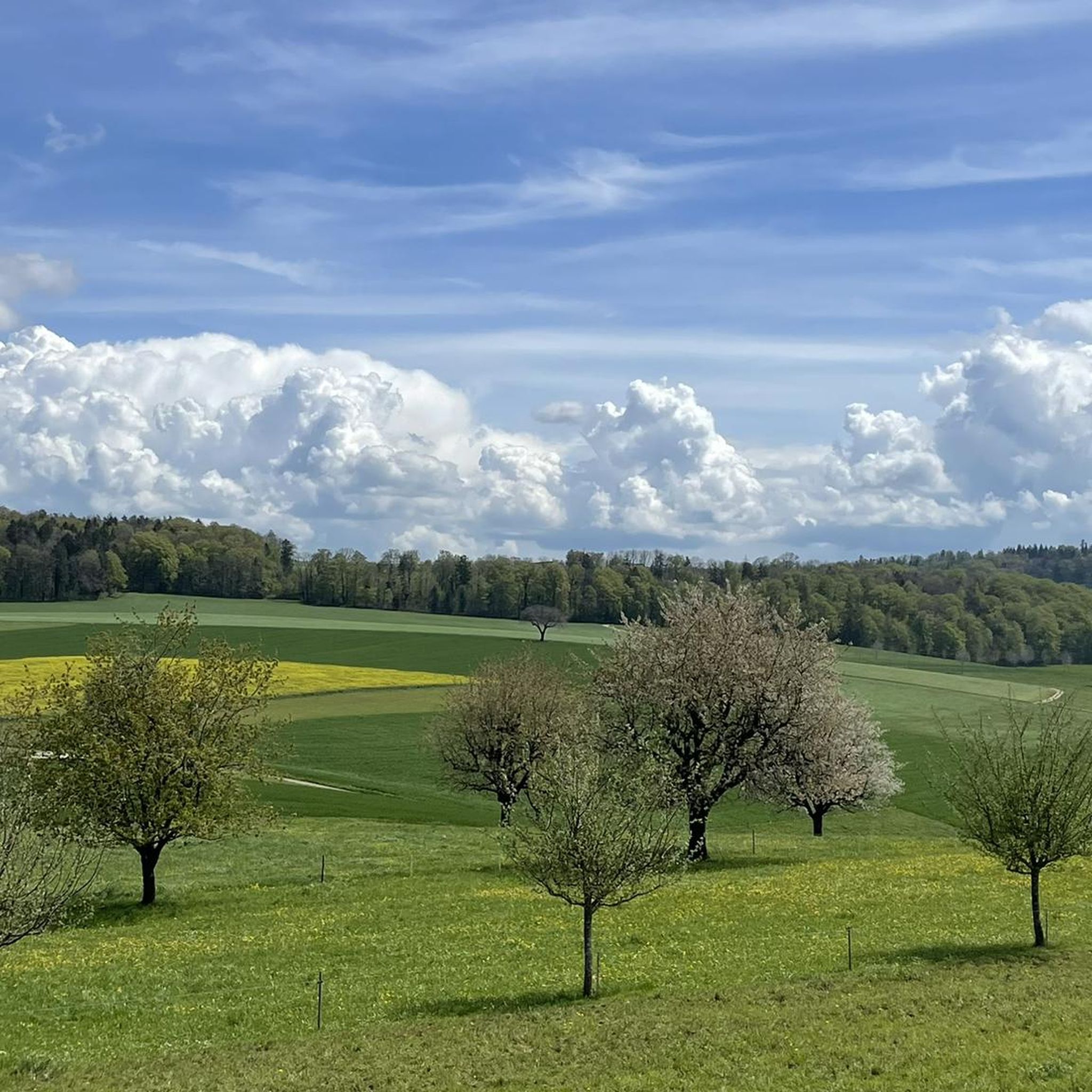
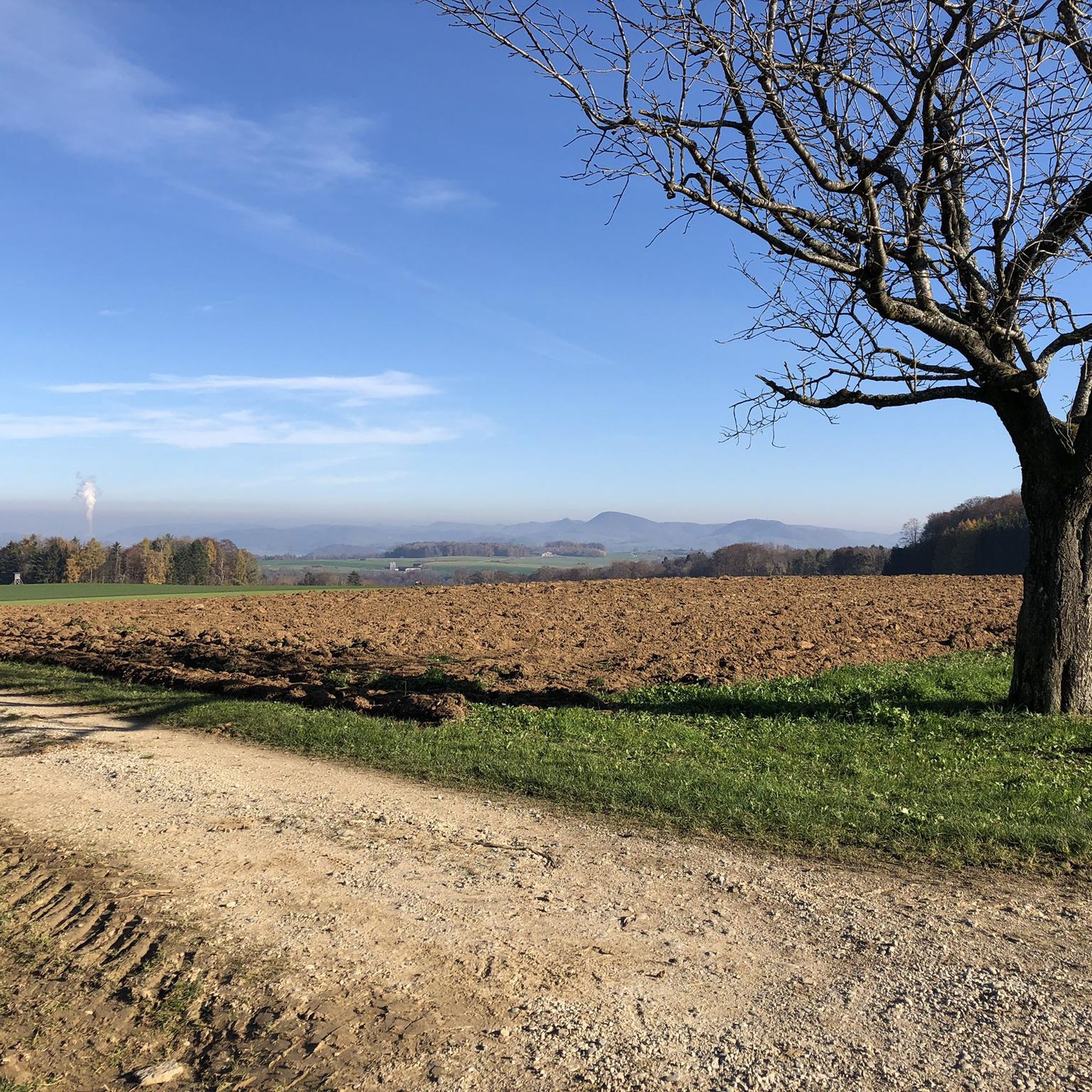
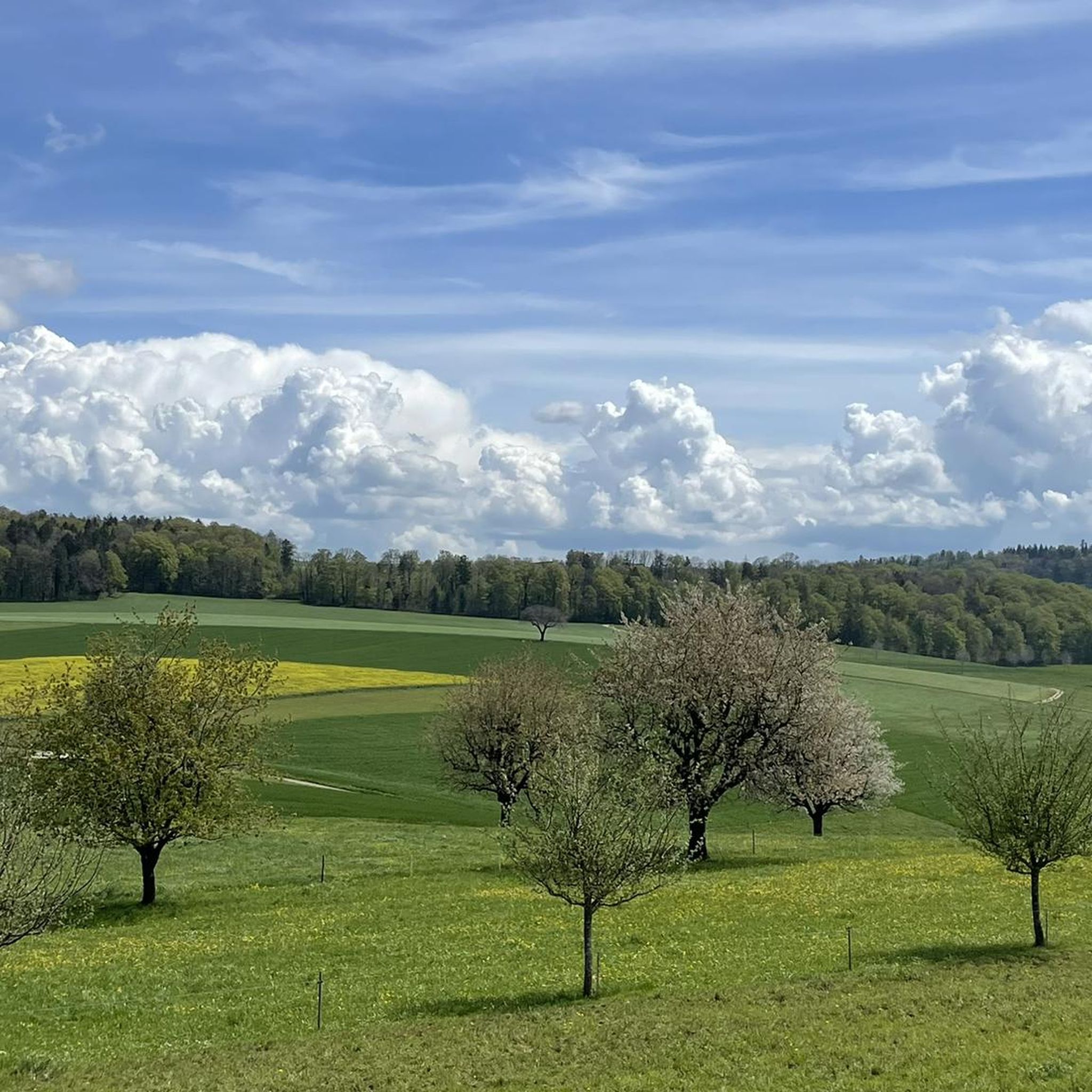
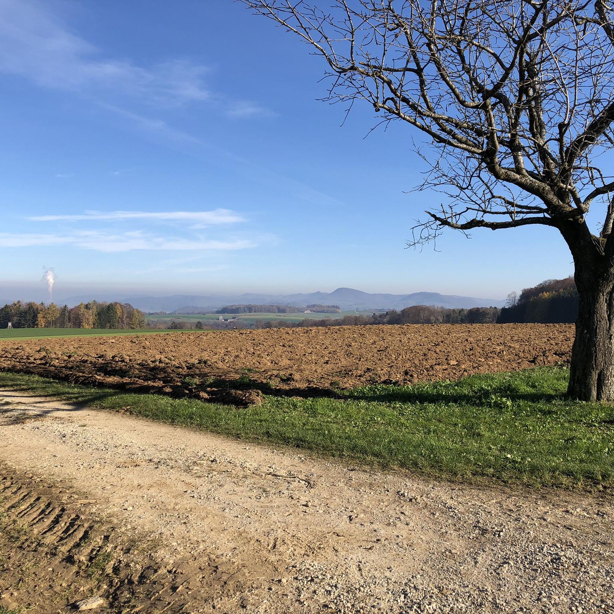
Hiking around Zuzgen offers a network of trails through the varied landscape of the Fricktal region. The area is characterized by rolling hills, dense woodlands, and river valleys, providing diverse terrain for outdoor activities. Hikers can explore paths that lead to scenic viewpoints and historical sites. The elevation changes across the routes are generally moderate, with some longer options featuring more significant climbs.
Best hiking trails around Zuzgen
- The most popular hiking route is Flüh Kiosk Picnic Area – View of Obermumpf loop from Obermumpf, a 6.0 miles (9.7 km) trail that takes 2 hours 44 minutes to complete, offering views over Obermumpf.
- Another top favourite among local hikers is Mumpferflue – Flüh Kiosk Picnic Area loop from Obermumpf, an easy 2.1 miles (3.5 km) path that explores the Mumpferflue area and includes a picnic spot.
- Local hikers also love the Zeiningen Village Center – Roman Fortification Bürkli loop from Mumpf, a 13.0 miles (20.9 km) trail leading through varied terrain to a Roman Fortification, often completed in about 5 hours 33 minutes.
- Hiking around Zuzgen is defined by rolling hills, dense forests, and historical landmarks. The network offers options for different ability levels, from easy strolls to challenging long-distance routes.
- The routes in Zuzgen are highly rated by the komoot community with an average score of 4.6 stars from over 4000 reviews. More than 19000 hikers have used komoot to explore Zuzgen's varied terrain.
Last updated: May 20, 2026
4.7
(6)
15
hikers
9.66km
02:45
200m
200m
Moderate hike. Good fitness required. Easily-accessible paths. Suitable for all skill levels.
5.0
(2)
15
hikers
Moderate hike. Good fitness required. Easily-accessible paths. Suitable for all skill levels.

Sign up for free
3.0
(1)
13
hikers
Easy hike. Great for any fitness level. Easily-accessible paths. Suitable for all skill levels.
5.0
(3)
7
hikers
3.46km
01:06
140m
140m
Easy hike. Great for any fitness level. Easily-accessible paths. Suitable for all skill levels.
6
hikers
21.0km
05:34
200m
200m
Hard hike. Very good fitness required. Easily-accessible paths. Suitable for all skill levels.
Get access to more routes and recommendations from other explorers.
Sign up for free
Already have an account?
Our route recommendations are based on thousands of hikes, rides, and runs completed by other people on komoot.
Start today with a free account
Your next adventure awaits.
Login or Signup
Tips from the Community

A popular starting point for hikes (parking available) and a recreation area with a barbecue. It's quite unusual to see such a large watchtower. Several smaller Roman watchtowers can be found along the Rhine. One of them is located on the Rhine bank between Koblenz and Bad Zurzach.
0
0

Telecommunications has been transformed into a library. You can no longer make phone calls here, but you can borrow a book.
0
0

perfect cycle path along the Rhine
0
0


The water flows out of the fountain at this point and follows the course of the road to the old bridge fragment.
1
0
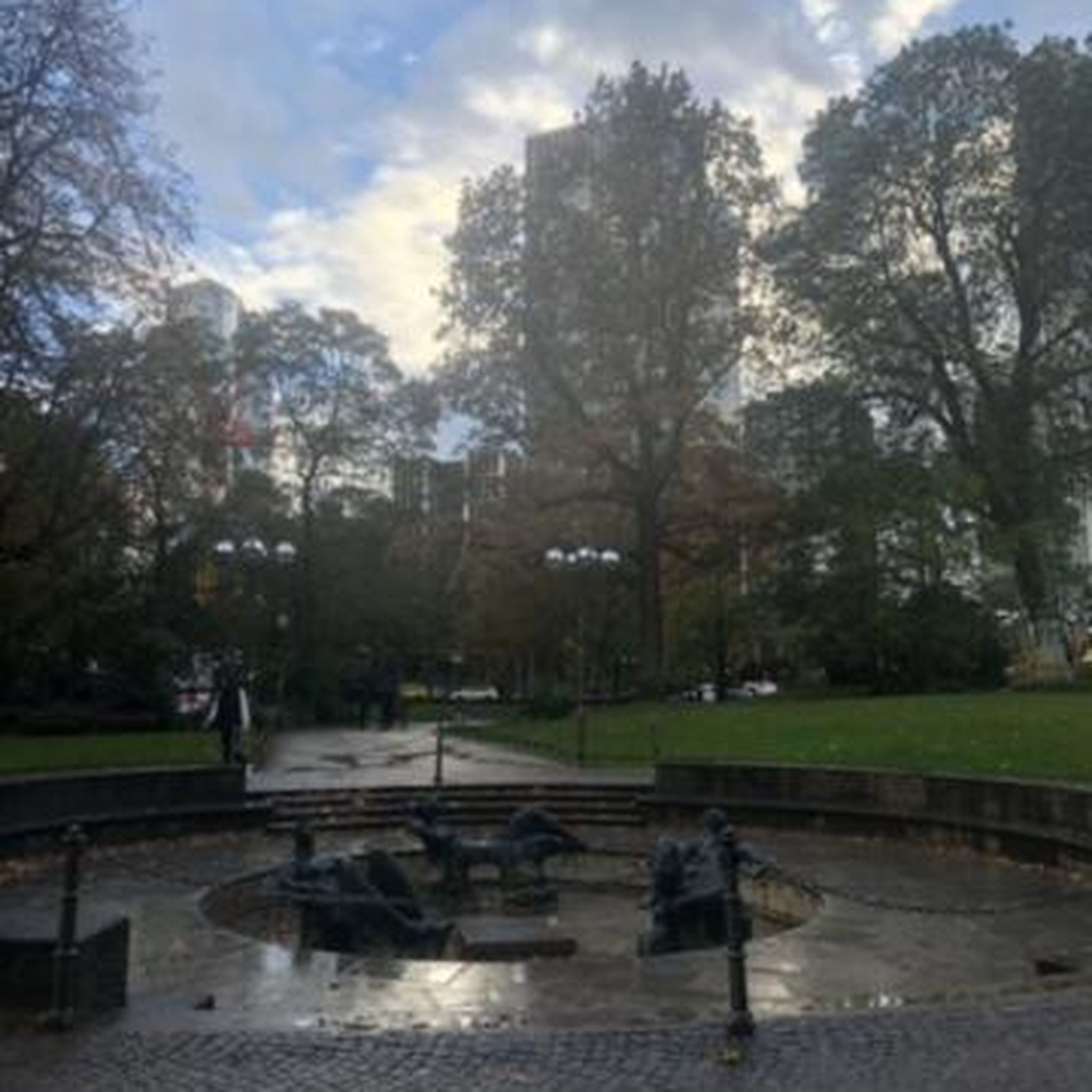
The "Fuchshöhle" restaurant is the most striking building on Münsterplatz. It dates back to the 16th century. The very impressive and detailed painting on the facade dates from 1904 and shows motifs from the Scheffel epic "Trompeter von Säckingen".
0
0
The Münsterplatz is lined with numerous, very busy restaurants. Sometimes it is even difficult to find a free seat. So you can sit here with the best view of the impressive Fridolin's Minster.
2
0
The mighty church building in the Baroque style with two towers reflects the size and importance of the former monastery and convent that led to the founding of the city. Inside, the Catholic church has a bright nave and numerous paintings.
2
0
Frequently Asked Questions
What kind of terrain can I expect on hiking trails around Zuzgen?
The Zuzgen area, part of the Fricktal region, features a diverse landscape of rolling hills, dense woodlands, and river valleys. You'll find paths with moderate elevation changes, leading through forests and open areas, often with scenic viewpoints.
Are there easy hiking trails suitable for beginners or families in Zuzgen?
Yes, Zuzgen offers numerous easy trails. For a pleasant, shorter option, consider the Mumpferflue – Flüh Kiosk Picnic Area loop from Obermumpf, which is an easy 3.5 km path exploring the Mumpferflue area and includes a picnic spot. Another accessible choice is the Bad Säckingen Wooden Bridge – Steil Fountain loop from Mumpf, an easy 6.6 km route.
Are there any challenging long-distance hikes around Zuzgen?
For those seeking a more demanding experience, Zuzgen offers longer routes. The Zeiningen Village Center – Roman Fortification Bürkli loop from Mumpf is a difficult 20.9 km trail that takes you through varied terrain to a historical Roman Fortification.
What are some interesting landmarks or points of interest to see while hiking in Zuzgen?
Hikers can discover several interesting spots. You might encounter historical sites like the Roman Fortification Bürkli on longer routes. For shelters and grill areas, consider visiting the Mahrer-Linde Shelter and Grill Area or the Isletenhöchi Shelter. There are also viewpoints such as the Schleifenberg Tower and the Kienberg Cross offering panoramic views.
Are there circular hiking routes available in Zuzgen?
Yes, many of the trails around Zuzgen are designed as circular routes, allowing you to start and end at the same point. Examples include the moderate Flüh Kiosk Picnic Area – View of Obermumpf loop from Obermumpf and the easy Mumpferflue – Flüh Kiosk Picnic Area loop from Obermumpf.
What do other hikers say about the trails in Zuzgen?
The hiking routes in Zuzgen are highly regarded by the komoot community, holding an average rating of 4.6 stars from over 4,000 reviews. Hikers often praise the varied terrain, well-maintained paths, and the scenic beauty of the Fricktal region.
How many hiking trails are available around Zuzgen?
There are over 1,100 hiking trails documented around Zuzgen on komoot, offering a wide range of options for all skill levels and preferences.
Are there any routes that offer good viewpoints?
Yes, the region is known for its scenic viewpoints. The Flüh Kiosk Picnic Area – View of Obermumpf loop from Obermumpf, for instance, provides excellent views over Obermumpf. Additionally, highlights like the Schleifenberg Tower and Kienberg Cross are dedicated viewpoints.
Can I find places to rest or have a picnic along the trails?
Yes, there are several spots ideal for resting or picnicking. The Mumpferflue – Flüh Kiosk Picnic Area loop from Obermumpf explicitly includes a picnic spot. You can also find shelters and grill areas such as the Mahrer-Linde Shelter and Grill Area.
Are there any routes that pass by historical sites?
Yes, the region has historical significance. The challenging Zeiningen Village Center – Roman Fortification Bürkli loop from Mumpf leads directly to a Roman Fortification, offering a glimpse into the area's past.
What is the general difficulty level of hikes in Zuzgen?
The trails around Zuzgen cater to all levels. Approximately half of the routes are rated as easy, with a significant number of moderate options, and a smaller selection of more difficult trails for experienced hikers. This variety ensures there's something for everyone.
Most popular attractions around Zuzgen

Get inspired with the komoot mobile app


Explore more
Browse the best Hikes in other regions.
