The best road cycling routes around East Keal
4.5
(12)
298
riders
72
rides
Road cycling routes around East Keal traverse the gently rolling hills and rural landscapes of the Lincolnshire Wolds, an Area of Outstanding Natural Beauty. The terrain features a network of quiet country roads, connecting small villages and offering varied elevation changes suitable for road bikes. The region is characterized by open fields, scattered woodlands, and views across the low-lying fens.
Best road cycling routes around East Keal
- The most popular road cycling route is Bolingbroke Castle Ruins – Dewy Hill…
Last updated: May 21, 2026
12
riders
Easy road ride. Great for any fitness level. Mostly well-paved surfaces and easy to ride.
5.0
(1)
8
riders
Easy road ride. Great for any fitness level. Mostly well-paved surfaces and easy to ride.

Sign up for free
6
riders
73.5km
03:29
810m
810m
Moderate road ride. Good fitness required. Mostly well-paved surfaces and easy to ride.
5
riders
54.0km
02:28
480m
480m
Moderate road ride. Good fitness required. Mostly well-paved surfaces and easy to ride.
6
riders
Easy road ride. Great for any fitness level. Mostly well-paved surfaces and easy to ride.
Get access to more routes and recommendations from other explorers.
Sign up for free
Already have an account?
Our route recommendations are based on thousands of hikes, rides, and runs completed by other people on komoot.
Start today with a free account
Your next adventure awaits.
Login or Signup

Tips from the Community


hubbards hill louth lincolnshire small walk some steps up to the top of the hill
1
0


Layby on the main road. For the more adventurous on a dry summers day double back on the A158 to Sheep Dip Lane a bridleway to Ashby Puerorum from where you can reconnect to Tetford Road and on to Fulletby.
0
0
On the descent to Miningsby Lindsey Trail
0
0

The church spire sticks out above the hedgerows at you pass by on the main road. A prominent feature that sticks out as you approach
0
0

this is the moorby pow camp.. unfortunately nothing there
0
0
Frequently Asked Questions
How many road cycling routes are available around East Keal?
There are over 70 road cycling routes around East Keal, offering a wide range of options for different abilities and preferences within the Lincolnshire Wolds.
Are there easy road cycling routes suitable for beginners in East Keal?
Yes, East Keal offers 27 easy road cycling routes. A great option for beginners is the Horncastle Town Centre – Miningsby to Wood Enderby Road loop from Bolingbroke, which is 28.3 miles (45.5 km) long and features a mix of town and rural landscapes.
What are some challenging road cycling routes for experienced riders?
For more experienced riders seeking a challenge, the region offers 45 moderate routes. The Hubbard's Hills – View from Tetford Hill loop from Bolingbroke is a notable option, covering 45.7 miles (73.5 km) with significant elevation gain through the Lincolnshire Wolds.
Are there any circular road cycling routes around East Keal?
Many of the routes around East Keal are circular, allowing you to start and finish in the same location. An example is the Bolingbroke Castle Ruins – Dewy Hill loop from Bolingbroke, a 17.9-mile (28.8 km) trail that takes you past historical landmarks.
What scenic viewpoints or attractions can I see along the road cycling routes?
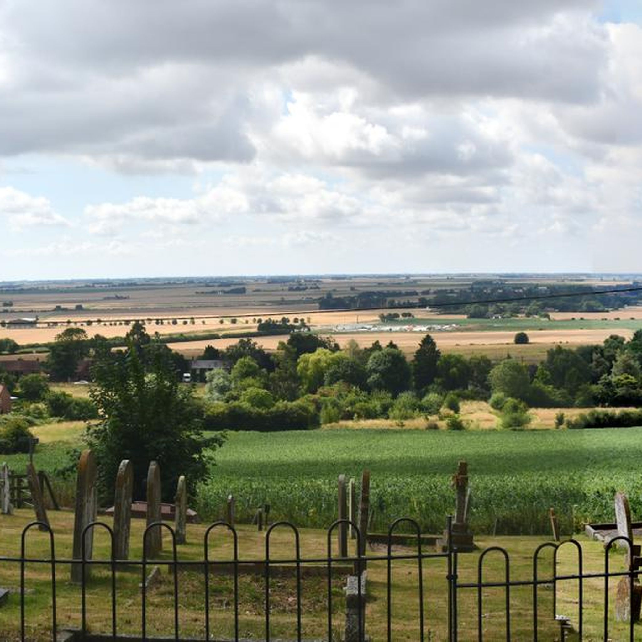
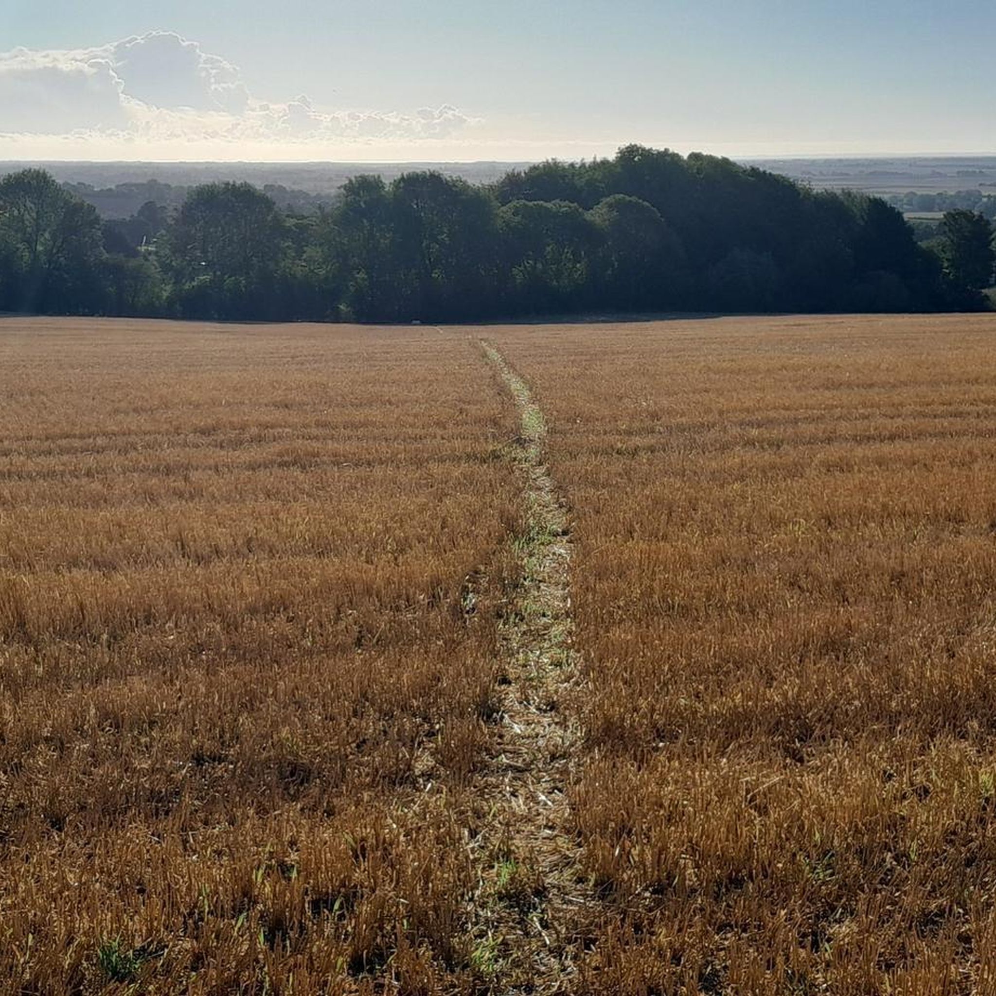
The routes often pass through picturesque areas of the Lincolnshire Wolds. You might encounter sights like the Priest Hill Lane Ford, the historic St. Philip's Church and Graveyard, Brinkhill, or the RAF Spilsby Memorial. Many routes also offer views of the open fields, such as the Footpath Through Wheat Fields, Lincolnshire Wolds.
What is the best time of year for road cycling in East Keal?
The spring and summer months generally offer the most pleasant conditions for road cycling in East Keal, with milder weather and longer daylight hours. Autumn can also be beautiful with changing foliage, though cooler temperatures and potential for rain should be considered.
Are there road cycling routes that pass through towns or villages with cafe stops?
Yes, several routes connect small villages and towns where you can find opportunities for refreshments. For instance, the Horncastle Town Centre – Miningsby to Wood Enderby Road loop from Bolingbroke includes Horncastle, which offers various amenities.
What do other road cyclists enjoy most about the routes in East Keal?
The road cycling routes in East Keal are highly rated by the komoot community, with an average score of 4.6 stars from over 12 reviews. Cyclists often praise the quiet country roads, the gently rolling hills of the Lincolnshire Wolds, and the scenic rural landscapes.
Are there any particularly long road cycling routes for endurance training?
For longer rides, consider routes that traverse more of the Lincolnshire Wolds. The Hubbard's Hills – View from Tetford Hill loop from Bolingbroke is one of the longer options at 45.7 miles (73.5 km), providing a substantial ride through varied terrain.
Is public transport accessible for reaching road cycling routes in East Keal?
Public transport options directly to specific route starting points in East Keal can be limited due to its rural nature. It's often more practical to drive to a suitable starting point, such as Bolingbroke or Spilsby, which offer access to multiple routes.
Where can I find parking for road cycling routes in East Keal?
Parking is typically available in the larger villages and towns that serve as common starting points for routes, such as Bolingbroke or Spilsby. Always check local signage for parking restrictions and availability.
Are there any historical landmarks to explore on a road bike near East Keal?
Absolutely. Many routes offer glimpses of local history. The St Nicholas' Church, Partney – Bolingbroke Castle Ruins loop from Bolingbroke specifically passes by the historic Bolingbroke Castle Ruins, offering a chance to combine cycling with exploring heritage sites.
Most popular attractions around East Keal

Get inspired with the komoot mobile app


Explore more
Browse the best Road cycling routes in other regions.
