The best walks and hikes around Bugbrooke
4.5
(551)
3,932
hikers
12
hikes
Hiking around Bugbrooke offers access to the gently rolling terrain of South Northamptonshire, characterized by a patchwork of meadows and farmland. The landscape features pockets of woodland and is crisscrossed by small waterways like the Hoarestone Brook and the River Nene. This rural setting provides varied scenery for outdoor activities.
Best hiking trails around Bugbrooke
- The most popular hiking route is Heyford Fields Marina – Path to the Church loop from Bugbrooke Meadow, a 7.2 miles (11.6 km) moderate trail that takes 3 hours 2 minutes to complete. This route explores the rural landscape starting from Bugbrooke Meadow.
- Another top favourite among local hikers is Pattishall Church – The Wharf Pub & Restaurant loop from Bugbrooke Meadow, a moderate 5.3 miles (8.6 km) path. This trail offers views of the countryside and passes by local landmarks.
- Local hikers also love the Heyford Fields Marina – Nether Heyford Village Sign loop from Bugbrooke Meadow, a 5.2 miles (8.3 km) trail leading through rural landscapes and past waterways, often completed in about 2 hours 9 minutes.
- Hiking around Bugbrooke is defined by expansive meadows, tranquil farmland, and scenic waterways, including the notable Charity Meadow. The network offers options for various ability levels, from leisurely strolls to more extended rambles.
- The routes in Bugbrooke are highly rated by the komoot community with an average score of 4.5 stars from over 400 reviews. More than 3000 hikers have used komoot to explore Bugbrooke's varied terrain.
Last updated: October 2, 2026
4.3
(4)
20
hikers
11.4km
03:01
100m
100m
Moderate hike. Good fitness required. Easily-accessible paths. Suitable for all skill levels.
4.5
(8)
12
hikers
Moderate hike. Good fitness required. Easily-accessible paths. Suitable for all skill levels.

4.9
(10)
15
hikers
Moderate hike. Good fitness required. Easily-accessible paths. Suitable for all skill levels.
2.0
(1)
8
hikers
Easy hike. Great for any fitness level. Easily-accessible paths. Suitable for all skill levels.
4.85km
01:16
40m
30m
Easy hike. Great for any fitness level. Easily-accessible paths. Suitable for all skill levels.
Get access to more routes and recommendations from other explorers.
Already have an account?
Our route recommendations are based on thousands of hikes, rides, and runs completed by other people on komoot.
Start today with a free account
Your next adventure awaits.

Tips from the Community

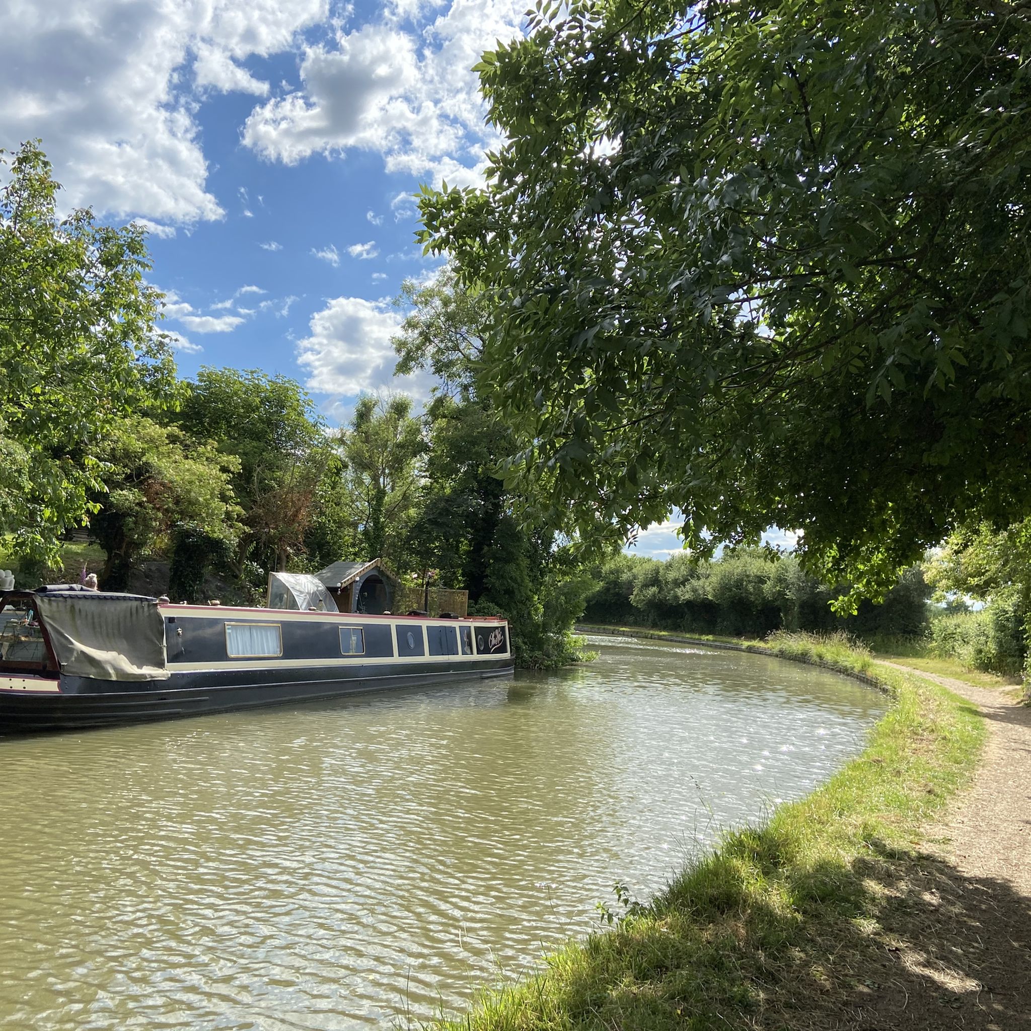
Lovely walk. Came across some cows and a bull but it was easily avoided by walking down the bridleway instead of the footpath.
0
0

Good place for a stop for food and coffee (closed Mondays)
0
0
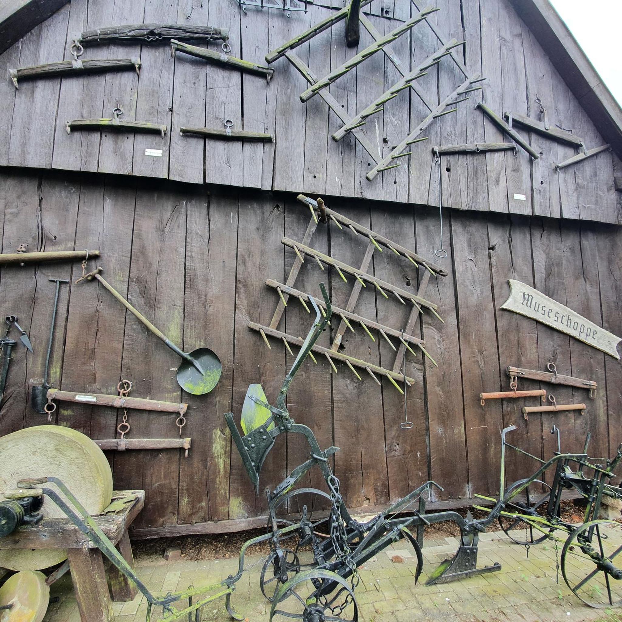
Interesting Interior with sculptures
0
0

Beautiful church in a peaceful setting. Worth the walk, some nice headstones and lots of history.
0
0
This is open Sundays 10.30 to 3.30 generally although it was closed when I went through. There is very little separation between the Motorcycle routes (evident by the tracks in the fields) and the footpath. probably best avoided when open.
0
0
The path up to the Church is very steep and slippery when wet
0
0
Frequently Asked Questions
How many hiking trails are available around Bugbrooke?
There are over 10 hiking trails around Bugbrooke, offering a mix of easy and moderate options to explore the South Northamptonshire countryside.
What kind of terrain can I expect on hikes around Bugbrooke?
Hikes around Bugbrooke feature gently rolling terrain, traversing expansive meadows, tranquil farmland, and pockets of woodland. You'll also encounter scenic waterways like the Hoarestone Brook and the River Nene.
Are there easy hiking routes suitable for all fitness levels?
Yes, Bugbrooke offers several easy hiking routes suitable for all fitness levels. For instance, the Heyford Fields Marina – Bugbrooke Churchyard loop is an easy option that takes you through the local countryside.
Can I find circular walks in Bugbrooke?
Yes, many of the trails around Bugbrooke are designed as loops, allowing you to start and end in the same location. An example is the Bugbrooke Churchyard – The Great Oak Tree loop, which offers a pleasant circular walk.
What natural features or wildlife can I expect to see on the trails?
The region is rich in biodiversity, especially in areas like Charity Meadow, a designated SSSI. You might spot over 60 varieties of wildflowers, including the Southern Marsh Orchid, and various insects like Meadow Brown and Speckled Wood butterflies. The waterways attract birds such as the Spotted Flycatcher and Yellowhammer.
Are there any notable landmarks or points of interest along the hiking routes?
While hiking, you'll pass through charming rural landscapes and may encounter local heritage sites. Nearby, you can visit historical sites like St Mary's Church, Canons Ashby, or the Eleanor Cross at Hardingstone.
When is the best time of year to hike around Bugbrooke?
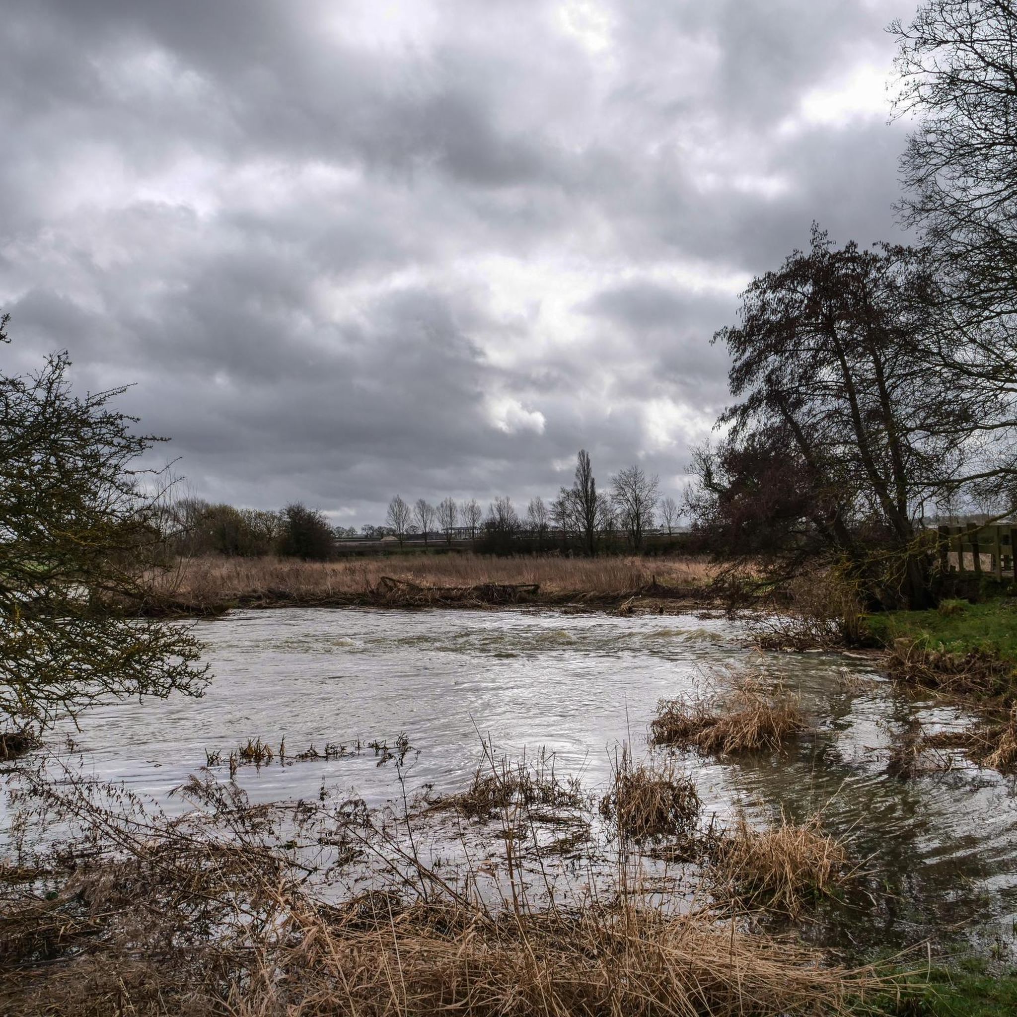
Spring and summer are particularly beautiful, as the meadows burst with wildflowers. The gently rolling terrain makes it suitable for hiking throughout much of the year, though winter walks might be muddy, especially near the Nene water meadows which regularly flood.
Are there any pubs or cafes near the hiking paths in Bugbrooke?
Yes, some routes incorporate stops at local establishments. For example, the Pattishall Church – The Wharf Pub & Restaurant loop passes by a pub, offering a convenient refreshment stop during your hike.
What do other hikers enjoy most about the trails in Bugbrooke?
The trails in Bugbrooke are highly rated by the komoot community, with an average score of 4.5 stars from over 400 reviews. Hikers often praise the expansive meadows, tranquil farmland, and scenic waterways, highlighting the peaceful rural charm of the area.
Are there any moderate difficulty trails for more experienced hikers?
Yes, Bugbrooke offers several moderate trails for those seeking a bit more challenge. The Heyford Fields Marina – Path to the Church loop is a popular moderate route, covering about 7.2 miles (11.6 km).
Is there parking available for hikers in Bugbrooke?
Many trails, particularly those starting from Bugbrooke Meadow or near villages, offer convenient parking options. It's advisable to check specific route details for designated parking areas.
What makes Charity Meadow special for nature lovers?
Charity Meadow (Bugbrooke Meadow) is a designated Site of Special Scientific Interest (SSSI) and a recovering hay meadow. It's remarkable for its biodiversity, hosting over 200 varieties of grass, hedgerow trees, shrubs, and wildflowers, including the rare Southern Marsh Orchid. It's also a vital habitat for numerous insects and birds.
Most popular routes around Bugbrooke
Most popular attractions around Bugbrooke

Get inspired with the komoot mobile app


Explore more
Browse the best Hikes in other regions.
