The best road cycling routes around Wolfsheim
4.5
(333)
4,715
riders
196
rides
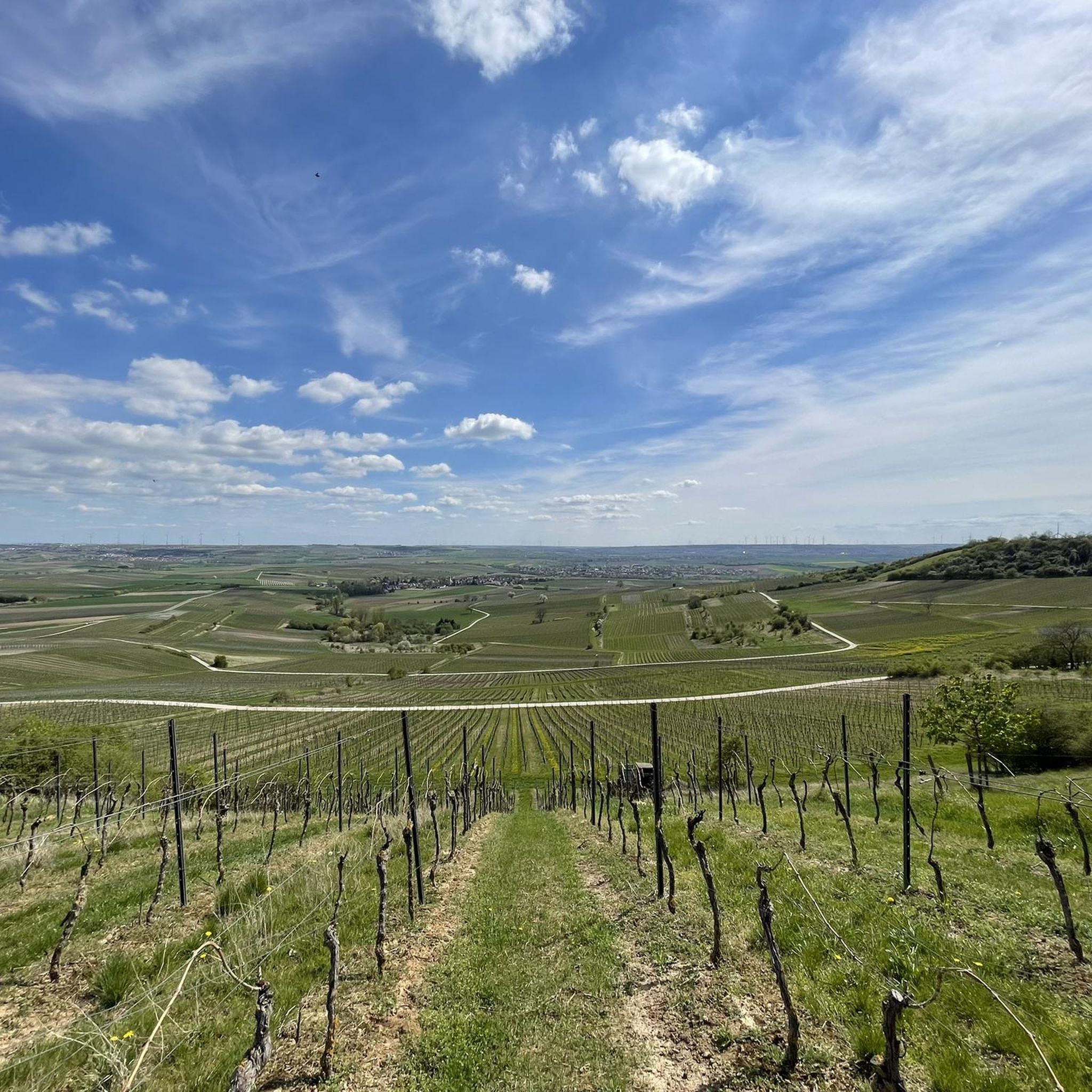
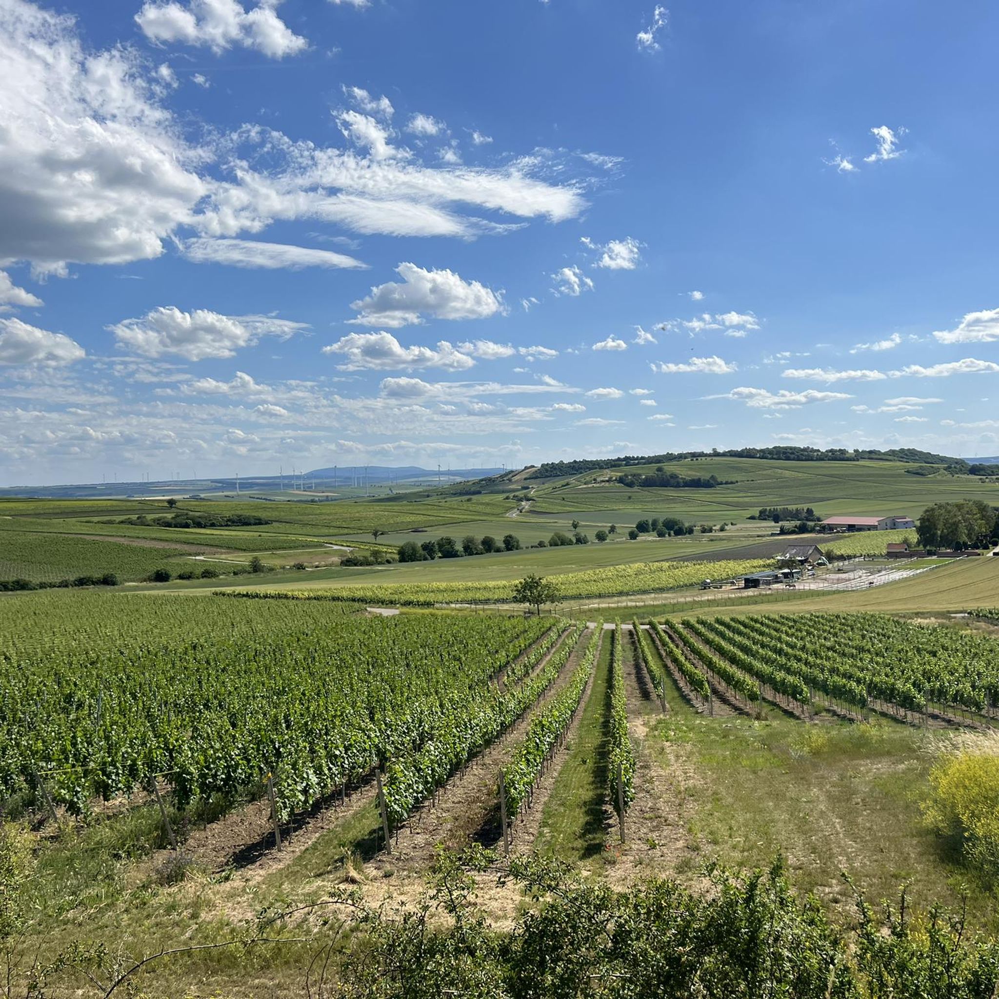
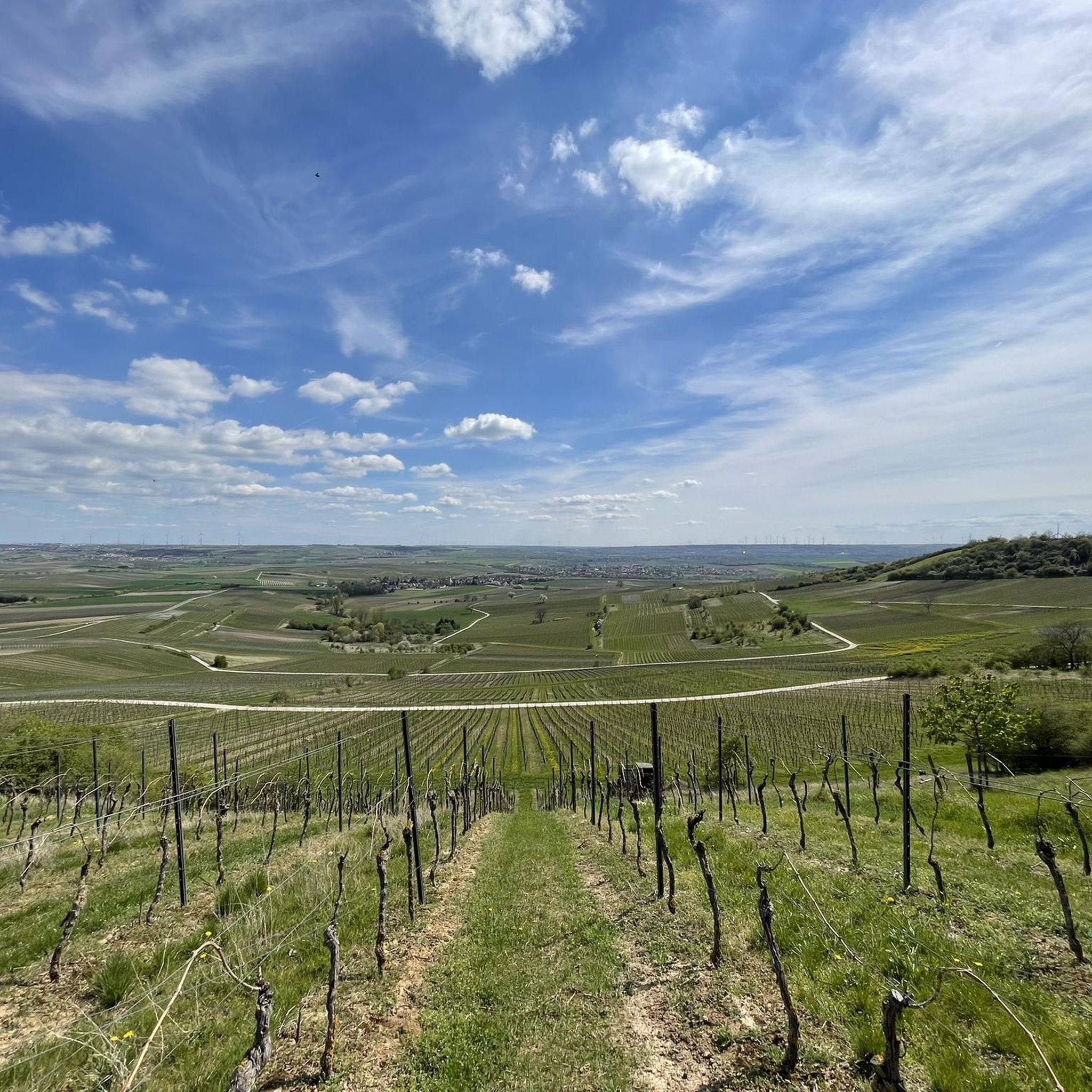
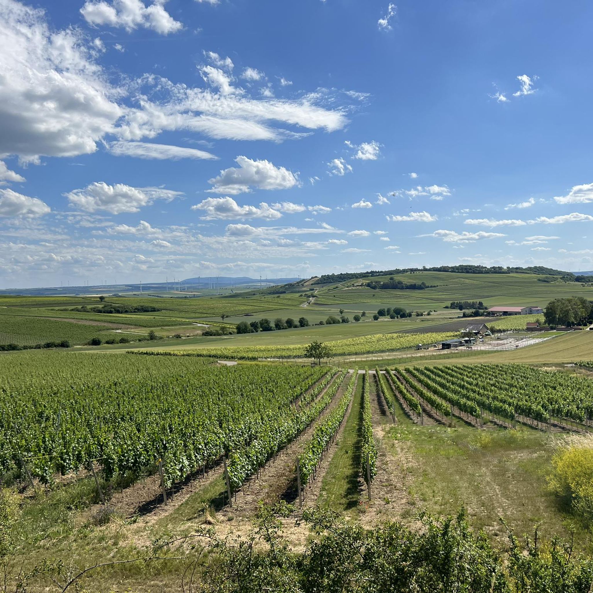
Road cycling routes around Wolfsheim traverse a landscape characterized by rolling hills, agricultural fields, and river valleys. The region features a network of paved roads and dedicated cycle paths, offering varied terrain for road cyclists. Elevation changes are generally moderate, with some routes including longer climbs. The area provides access to scenic viewpoints and passes through small villages.
Best road cycling routes around Wolfsheim
- The most popular road cycling route is Flonheim – Tiefenthaler Höfchen loop from Gau-Bickelheim, a…
Last updated: October 5, 2026
4.8
(6)
86
riders
57.6km
02:29
450m
450m
Moderate road ride. Good fitness required. Mostly well-paved surfaces and easy to ride.
4.0
(1)
66
riders
152km
06:41
650m
650m
Hard road ride. Very good fitness required. Some segments of this route may be unpaved and difficult to ride.

3.8
(17)
45
riders
43.5km
01:49
150m
150m
Easy road ride. Great for any fitness level. Mostly well-paved surfaces and easy to ride.
3.8
(4)
26
riders
Easy road ride. Great for any fitness level. Mostly well-paved surfaces and easy to ride.
11
riders
130km
06:21
1,640m
1,640m
Hard road ride. Very good fitness required. Mostly well-paved surfaces and easy to ride.
Get access to more routes and recommendations from other explorers.
Already have an account?
Our route recommendations are based on thousands of hikes, rides, and runs completed by other people on komoot.
Start today with a free account
Your next adventure awaits.
Tips from the Community

Beautiful farm shop with a large selection.
0
0

Beautiful cycle paths along the Rhine
0
0

One of the oldest medieval stone bridges in Germany. The short stop is worthwhile for anyone who wants to discover a piece of history on their bike tour.
3
0

Wide street with views and top surface
0
0


The new Drusus Bridge, still visible today, was built 100 years later under Archbishop Willigis (975-1011). This bridge was destroyed by the French in 1689. It was rebuilt by 1772. In March 1945, a special command blew up the bridge arch in front of the advancing troops of the Allies. Today, the 1000-year-old Drusus Bridge, in new splendor, once again shapes the cityscape of Bingen.
1
0
The Drusus Bridge owes its name to the Roman general Drusus, who is said to have built the first wooden bridge over the Nahe. It probably originated in the decade before Christ's birth, but was probably in a different location. At that time, Drusus fortified the left bank of the Rhine border of the Roman Empire by building fortifications and may have had a convenient path built across the Nahe. The wooden bridge was destroyed in 70 AD. The current stone bridge is a construction from the 11th century.
2
0
A very nice area for biking.
0
0
Frequently Asked Questions
How many road cycling routes are available around Wolfsheim?
There are over 200 road cycling routes around Wolfsheim, offering a wide variety of options for different skill levels and preferences.
What kind of terrain can I expect on road cycling routes in Wolfsheim?
The region around Wolfsheim is characterized by rolling hills, expansive agricultural fields, and picturesque river valleys. Routes feature a mix of paved roads and dedicated cycle paths, with generally moderate elevation changes, though some routes include more challenging climbs.
Are there easy road cycling routes suitable for beginners or families?
Yes, Wolfsheim offers 41 easy road cycling routes. A great option for a more relaxed ride is the Gensingen–Sprendlingen cycle path – Wiesbach Bridge near Gensingen loop from Gau-Bickelheim, which is 27.1 miles (43.6 km) long and primarily follows a cycle path network.
What are some challenging road cycling routes for experienced riders?
For experienced riders seeking a challenge, there are 35 difficult routes. The Dike Path – View of Mainz loop from Gau-Bickelheim is a demanding 93.6 miles (150.7 km) route offering expansive views towards Mainz, while the Ascent to Seibersbach – Wald-Erbach Scenic Road loop from Gau-Bickelheim covers 129.6 km with significant elevation gain.
Are there circular road cycling routes around Wolfsheim?
Many of the road cycling routes in Wolfsheim are designed as loops, allowing you to start and end at the same point. For example, the popular Flonheim – Tiefenthaler Höfchen loop from Gau-Bickelheim is a 35.8-mile (57.7 km) circular trail.
What kind of scenic viewpoints can I find along the routes?
The Wolfsheim region offers several scenic viewpoints. You can enjoy panoramic vistas from the Panorama Bench at Siefersheimer Horn or take in the expansive View of Rheinhessen Vineyards. The Wine Table at Hundertgulden also provides a pleasant spot to appreciate the landscape.
Are there any interesting landmarks or attractions to see while road cycling?
Yes, you can encounter several interesting landmarks. The Flonheim Trullo is a unique architectural sight, and the Eagle Monument on the Mühlberg offers a historical point of interest. The Bismarck Tower in Ingelheim am Rhein is also accessible from some routes.
When is the best time of year for road cycling in Wolfsheim?
The best time for road cycling in Wolfsheim is generally from spring through autumn. During these seasons, the weather is typically mild, and the agricultural landscapes are vibrant. While winter riding is possible, be prepared for colder temperatures and potentially wet conditions.
Are there places to stop for refreshments or food along the routes?
Many routes pass through small villages and hamlets where you can find local cafes, bakeries, or restaurants to refuel. The Zur Junkermühle Restaurant – Tiefenthaler Höfchen loop from Gau-Bickelheim, for instance, suggests a route that includes a restaurant stop.
What do other road cyclists enjoy most about road cycling in Wolfsheim?
The road cycling routes around Wolfsheim are highly rated by the komoot community, with an average score of 4.6 stars from over 240 reviews. Cyclists often praise the varied terrain, the well-maintained cycle paths, and the scenic views across the rolling hills and vineyards.
Is public transport available to reach road cycling trailheads in Wolfsheim?
While Wolfsheim is a rural area, some larger towns nearby may offer regional bus or train connections. However, direct public transport access to all trailheads might be limited. It's advisable to check local transport schedules for specific starting points.
Is parking available near the road cycling routes?
Yes, parking is generally available in the villages and towns that serve as starting points for the routes, such as Gau-Bickelheim. Look for designated public parking areas or consider parking near local amenities.
Most popular attractions around Wolfsheim

Get inspired with the komoot mobile app


Explore more
Browse the best Road cycling routes in other regions.
