The best cycling routes around Rothersthorpe
4.4
(174)
2,267
riders
345
rides
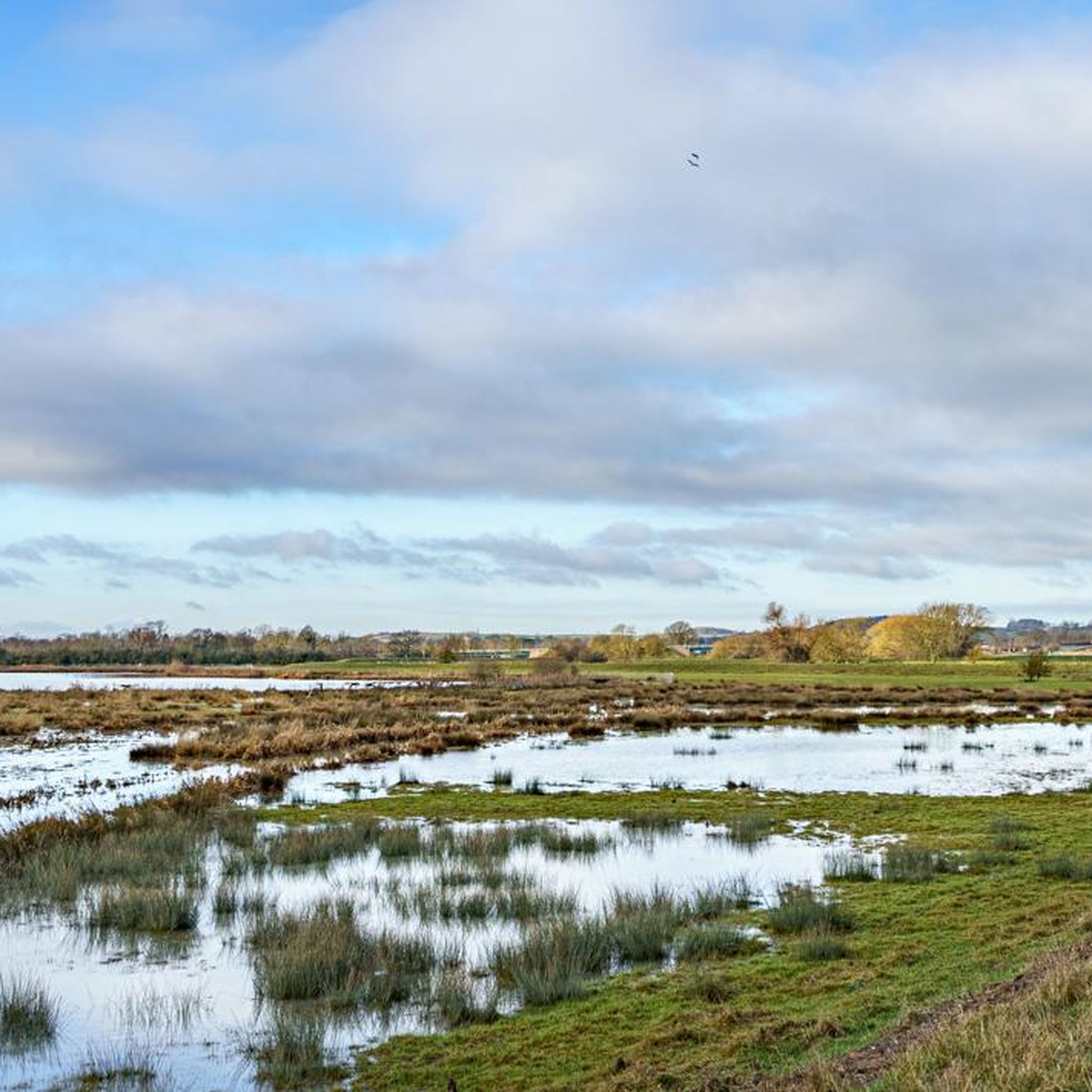
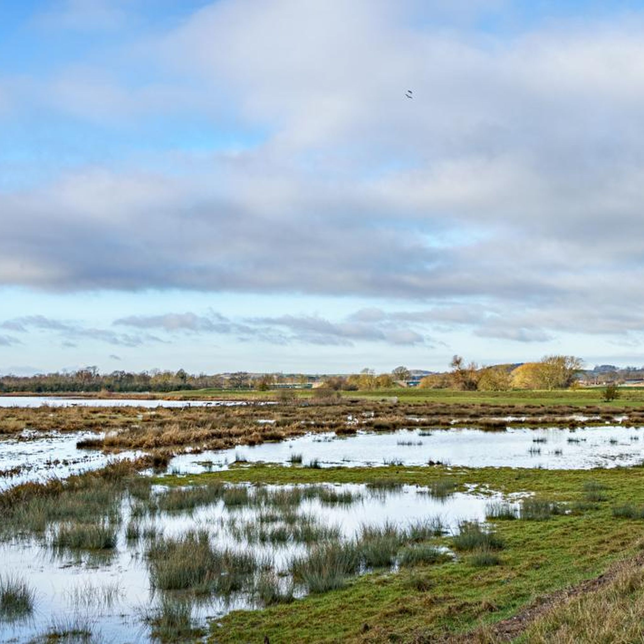
Touring cycling routes around Rothersthorpe navigate an undulating landscape, with elevations typically ranging between 75 and 90 meters above sea level. The terrain features areas of Boulder Clay and glacial deposits on higher ground, while lower areas expose Marlstone Rock and Upper Lias Clay. Small streams crisscross the region, flowing north and northeast towards the River Nene. The Grand Union Canal, specifically its Northampton Arm, also provides relatively flat towpath routes near the village.
Best touring cycling routes around Rothersthorpe
…Last updated: October 23, 2026
4.0
(3)
20
riders
Easy bike ride. Mostly paved surfaces.
3.0
(1)
9
riders
37.1km
02:17
280m
280m
Moderate bike ride. Good fitness required. Mostly paved surfaces.

5
riders
19.4km
01:28
120m
120m
Easy bike ride. Mostly paved surfaces.
6
riders
26.1km
01:39
210m
200m
Moderate bike ride. Good fitness required. Mostly paved surfaces.
6
riders
8.29km
00:33
70m
70m
Easy bike ride. Mostly paved surfaces.
Get access to more routes and recommendations from other explorers.
Already have an account?
Our route recommendations are based on thousands of hikes, rides, and runs completed by other people on komoot.
Start today with a free account
Your next adventure awaits.

Tips from the Community

Nice little cafe for a mid-ride stop. There are bike racks but they're around the side of the cafe out of sight when you're inside, so bring bike locks if intending to eat/drink inside.
0
0


This picturesque stretch of gravel trail runs along the Northampton Arm of the Grand Union Canal, offering charming views of canal boats and historic bridges to admire along the way.
2
0
This bridge spans both the River Nene and the Grand Union Canal on Northampton's southeastern side. The area is surrounded by lush greenery, and they are plenty of connecting cycle paths making it an ideal spot for scenic rides.
2
0

Opened on 1st May 1815, the Northampton Arm of the Grand Union Canal includes 17 locks and connects the canal with the River Nene in Northampton.
0
0

Be Cautious when riding as there appears to be hawthorn at the side of the path and a fair few brambles which are poorly maintained.
0
0
Series of descending locks travelling towards Northampton (or ascending if you're going the other way towards Stoke Bruerne). Fairly wide in places so it's easy to build up a fair bit of speed downhill, but bear in mind it's a canal towpath so there will be walkers... ride sensibly, announce your presence and be ready to slow down for pedestrians👍
0
0

The Elgar Center now does coffee - sometimes!
0
0
Frequently Asked Questions
How many touring cycling routes are available around Rothersthorpe?
There are over 400 touring cycling routes around Rothersthorpe, offering a wide variety of options for different skill levels and preferences.
What is the general terrain like for touring cycling in Rothersthorpe?
The landscape around Rothersthorpe is characterized by undulating terrain, with elevations typically ranging between 75 and 90 meters above sea level. You'll encounter areas with Boulder Clay and glacial deposits on higher ground, and exposed Marlstone Rock and Upper Lias Clay on lower ground. Several small streams crisscross the area, flowing towards the River Nene, adding to the scenic appeal.
Are there easy touring cycling routes suitable for beginners in Rothersthorpe?
Yes, Rothersthorpe offers over 130 easy touring cycling routes. The Grand Union Canal, specifically its Northampton Arm, provides relatively flat and picturesque towpath routes, ideal for leisurely cycling. An example is the Harlestone Firs – Harlestone Firs loop from Upton, which is an easy 13.3-mile trail.
Are there challenging touring cycling routes for experienced cyclists?
Yes, for more experienced cyclists, there are over 50 difficult routes available. The undulating terrain and varied topography of the region provide opportunities for more strenuous rides. You might consider routes that explore the wider Northamptonshire countryside for a greater challenge.
What natural features can I expect to see on a touring bike ride near Rothersthorpe?
You can expect to see the scenic Grand Union Canal with its towpaths, various small streams, and glimpses of the River Nene. The varied topography includes areas with unique geological features like Boulder Clay and Marlstone Rock, providing diverse natural scenery.
Are there any historical landmarks to explore on touring cycling routes?
Yes, the area is rich in history. You can incorporate sights like The Berry, an unusual defensive earthwork representing medieval fortifications, and Banbury Lane, an ancient drovers' road. The Eleanor Cross, Hardingstone is another notable historical monument nearby.
Are there any circular touring cycling routes around Rothersthorpe?
Many routes in the area are designed as loops, allowing you to start and end in the same location. For example, the popular Canal Gravel Path – Upton Country Park Gravel Path loop from Upton is an 8.7-mile circular route, and The Acorn Barn – Blisworth Tower loop from Storton's Pits offers a longer 24.7-mile circular option.
What do other touring cyclists say about the routes in Rothersthorpe?
The touring cycling routes around Rothersthorpe are highly rated by the komoot community, with an average score of 4.5 stars from over 130 reviews. Cyclists often praise the diverse landscapes, the peaceful canal towpaths, and the network of country lanes that offer an immersive experience of the local environment.
Are there any specific attractions or points of interest along the routes?
Beyond the natural beauty, you can find interesting spots like Harlestone Firs, a lovely forest area. For facilities, there's Northampton Bike Park and the Nene Whitewater Centre, which also has a cafe.
Is Rothersthorpe well-suited for family-friendly touring cycling?
Yes, the area offers several family-friendly options, particularly along the Grand Union Canal towpaths, which provide relatively flat and safe routes away from traffic. Easy routes like the Canal Gravel Path – Upton Country Park Gravel Path loop from Upton are suitable for families.
What kind of roads and paths are typically used for touring cycling in this region?
Touring cycling routes in Rothersthorpe often utilize a mix of country lanes, B roads, and dedicated paths. The Grand Union Canal towpaths offer flat, off-road sections, while other routes explore the wider countryside on quieter roads, providing an immersive experience of the local environment.
Can I find routes that connect to wider cycling networks?
Yes, routes from Rothersthorpe can extend to nearby areas like Upper Stowe, Culworth, Althorp, and even Silverstone, indicating a network of roads and lanes suitable for longer rides and exploration of the wider Northamptonshire countryside. The National Cycle Route 6: Northampton to Market Harborough also passes nearby.
Most popular attractions around Rothersthorpe

Get inspired with the komoot mobile app


Explore more
Browse the best Cycling routes in other regions.
