The best running trails around Ilston
3.0
(3)
278
runners
29
runs
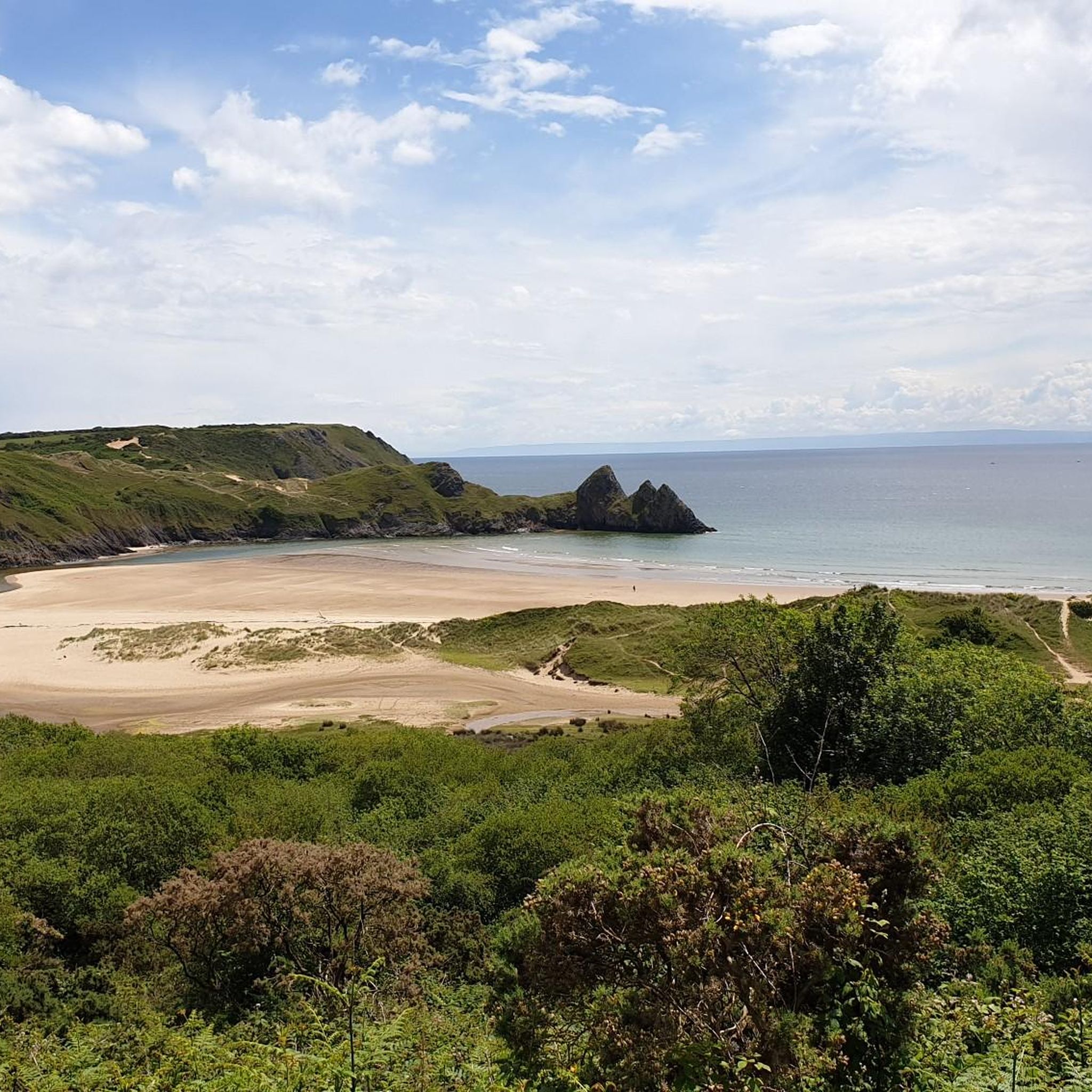
Jogging around Ilston offers a diverse landscape for runners, characterized by its proximity to the Gower Peninsula's varied terrain. The region features a mix of coastal paths, open hills like Cefn Bryn, and areas with historical significance. Runners can expect routes that traverse both sandy beaches and more rugged, elevated sections. The area provides opportunities for different levels of difficulty, from moderate paths to more challenging hill climbs.
Best jogging routes around Ilston
- The most popular jogging route is St.…
Last updated: August 30, 2026
5.0
(1)
28
runners
Hard run. Very good fitness required. Mostly paved surfaces. Suitable for all skill levels.
2.0
(1)
39
runners
15.6km
01:52
240m
240m
Hard run. Very good fitness required. Mostly paved surfaces. Suitable for all skill levels.

Sign up for free
2.0
(1)
24
runners
9.17km
01:06
130m
130m
Moderate run. Good fitness required. Mostly paved surfaces. Suitable for all skill levels.
10
runners
Moderate run. Good fitness required. Mostly paved surfaces. Suitable for all skill levels.
19
runners
23.5km
02:42
350m
350m
Hard run. Very good fitness required. Mostly paved surfaces. Suitable for all skill levels.
Get access to more routes and recommendations from other explorers.
Sign up for free
Already have an account?
Our route recommendations are based on thousands of hikes, rides, and runs completed by other people on komoot.
Start today with a free account
Your next adventure awaits.
Login or Signup
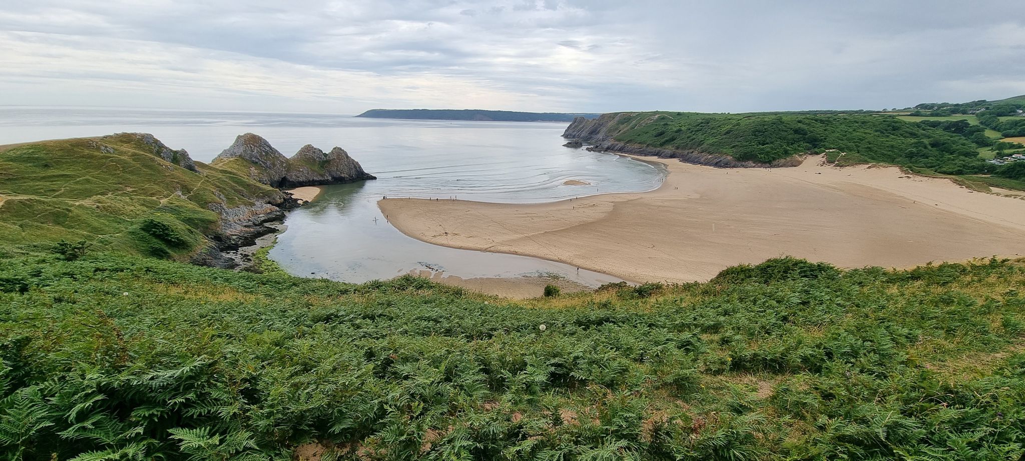
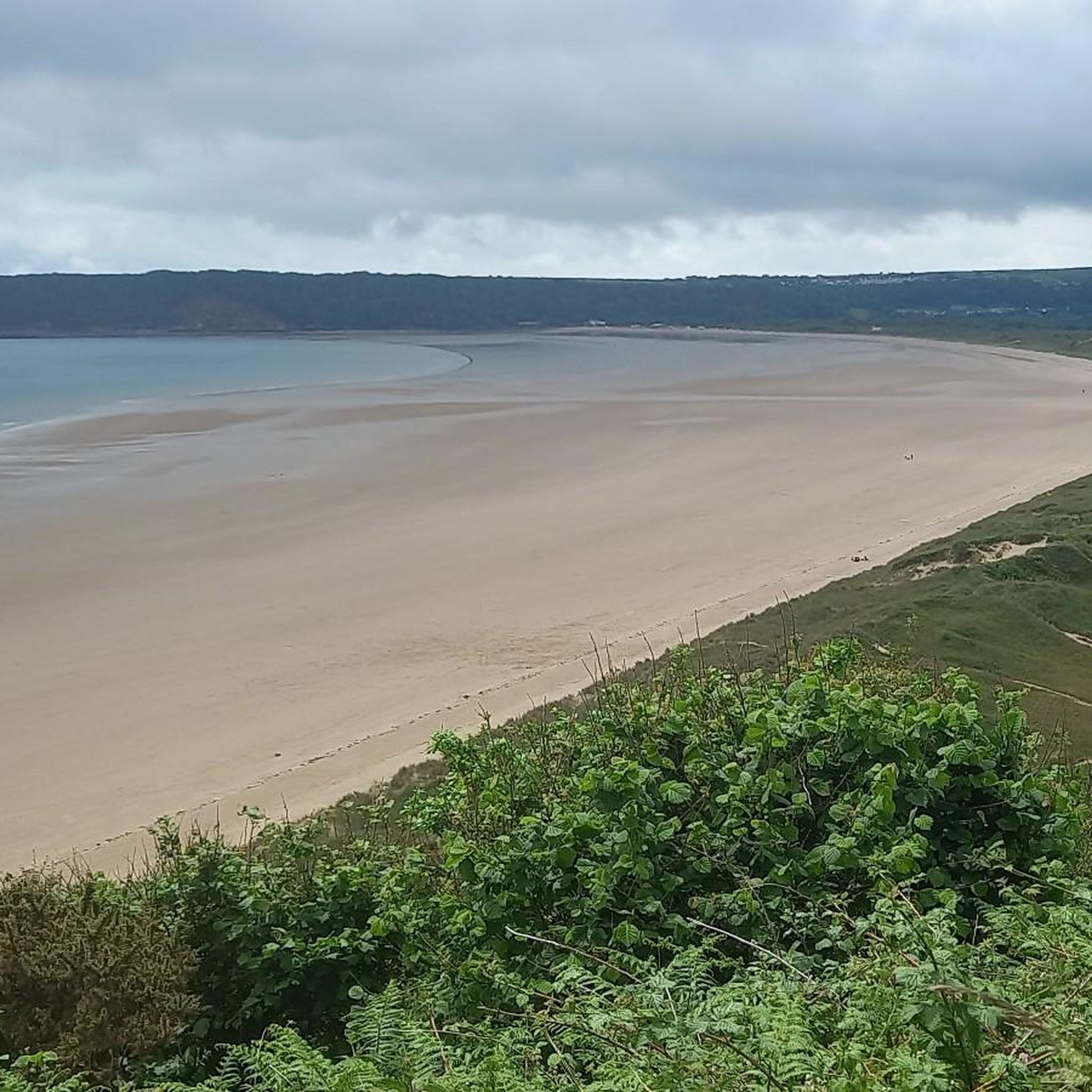
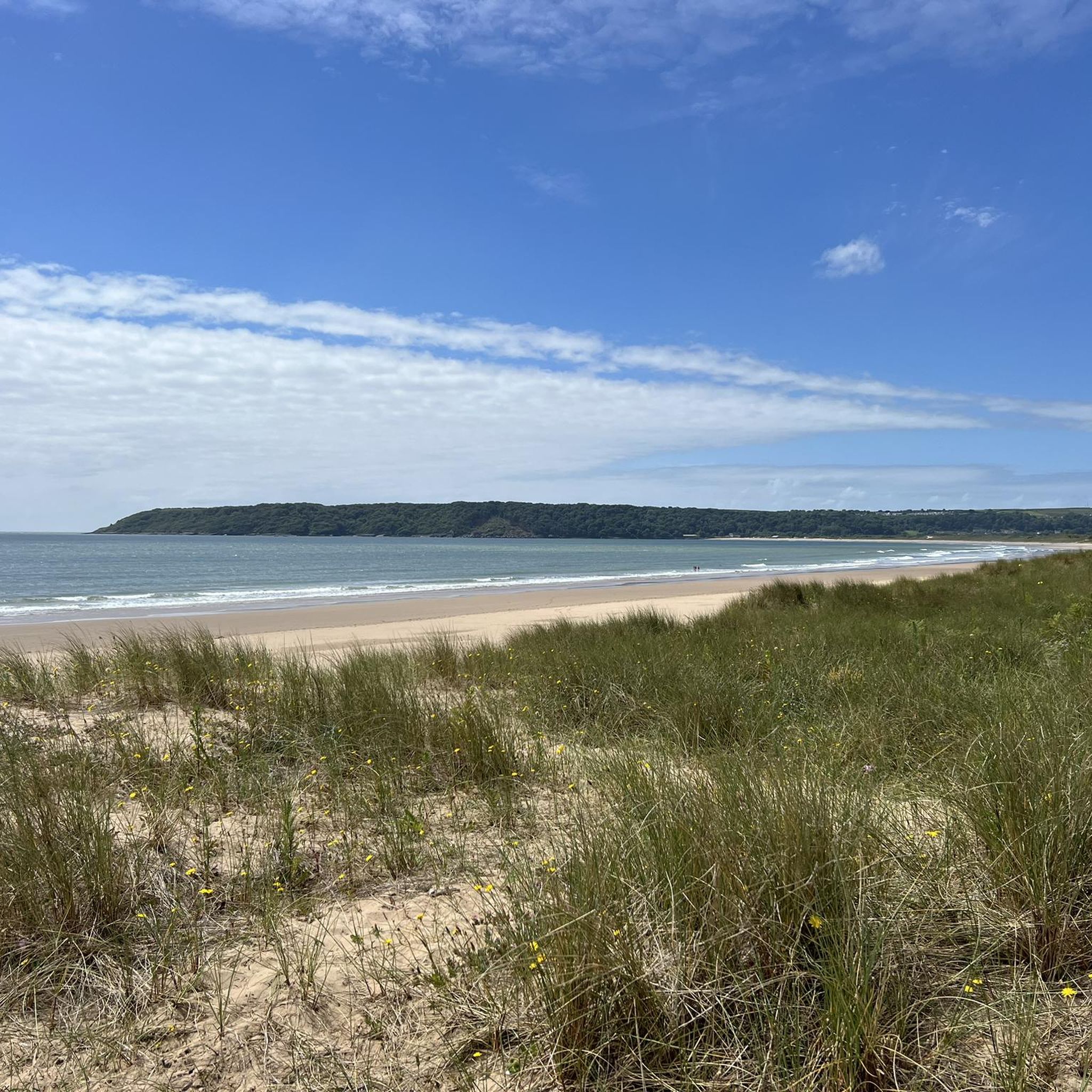

Other adventures around Ilston

Tips from the Community

Another of the 14 Trig points on the Gower. Great views when you reach this one.
0
0
Fabulous bridal way with views across Swansea and the Gower peninsula. Lots of routs in different directions means you can do plenty of loops taking different tracks and never travel too far away. Some lovely climbs and great decent around too.
2
0
Incredible views in every direction. Lots of routes via bridal ways. Can get boggy in some areas when heavy rain / winter months.
0
0
Lovely dip to refresh the feet after a long cycle. Great Cider made at the Heritage centre with apples pressed from their very own orchard on site
2
0

The trig point sits on the highest ground of Cefn Bryn, a long sandstone ridge often described as the spine or backbone of the Gower Peninsula. At around 188 metres (617 ft) above sea level, it’s not mountainous, but it feels elevated because of how cleanly it rises above the surrounding landscape. You get a rare 360 degree Gower panorama from here that makes it a must-see on a clear day.
0
0

Nice slightly uphill gravel path. Think it's maybe a footpaths but noone was on it
0
0

Discovered in 1869 by workmen digging for road stone, this chambered Neolithic (New Stone Age) tomb is one of the best preserved in this part of Wales. The two protrusions around the entrance display the typical style of the so-called ‘Cotswold-Severn’ long barrows of the region. Extensive excavations of Parc le Breos, which remained in use for between 300 and 800 years, revealed the bones of at least 40 separate individuals. Roughly 70ft/21m in length, the tomb consists of a narrow passageway leading to four small chambers lined with upright stones. While the tomb was presumably once covered by large capstone slabs, no trace of these stones has ever been found. https://cadw.gov.wales/visit/places-to-visit/parc-le-breos-burial-chamber
0
0

Parc le Breos Chambered Tomb Superb example of a Neolithic chambered tomb. Discovered in 1869 by workmen digging for road stone, this chambered Neolithic (New Stone Age) tomb is one of the best preserved in this part of Wales. The two protrusions around the entrance display the typical style of the so-called ‘Cotswold-Severn’ long barrows of the region. Extensive excavations of Parc le Breos, which remained in use for between 300 and 800 years, revealed the bones of at least 40 separate individuals. Roughly 70ft/21m in length, the tomb consists of a narrow passageway leading to four small chambers lined with upright stones. While the tomb was presumably once covered by large capstone slabs, no trace of these stones has ever been found.
2
0
Frequently Asked Questions
What kind of terrain can I expect on running routes around Ilston?
Running routes around Ilston offer a diverse landscape, featuring a mix of coastal paths, open hills like Cefn Bryn, and areas with historical significance. You'll find routes that traverse both sandy beaches and more rugged, elevated sections, providing varied challenges for runners.
Are there running routes suitable for beginners in Ilston?
Yes, Ilston offers routes for various ability levels. While many are moderate to difficult, there is at least one easy route available. For those looking for a moderate challenge, the Cefn Bryn – Cefn Bryn Trig Point loop from Cefn Bryn is a good option, covering 9.3 km through open hills.
What are some notable landmarks or viewpoints I can see while jogging near Ilston?
Many routes offer scenic views and pass by significant landmarks. You might encounter the ancient Arthur's Stone (Maen Ceti) on routes like the Cefn Bryn – Arthur's Stone loop from Cathole Cave. Other highlights in the wider area include Worms Head, Caswell Bay Beach, and the Mumbles Lighthouse.
Are there any circular running routes in the Ilston area?
Yes, several running routes around Ilston are circular. For example, the challenging St. Illtyd's Church, Oxwich – Oxwich Bay beach loop from Cathole Cave offers coastal views, and the Cefn Bryn – Cefn Bryn Trig Point loop from Cefn Bryn takes you through open hills.
What do other runners enjoy most about the trails in Ilston?
The running trails in Ilston are highly rated by the komoot community, with an average score of 3.0 stars. Runners often praise the diverse terrain, from coastal paths to open hills, and the opportunity to explore both natural beauty and historical sites.
How many running routes are available around Ilston?
There are over 30 running routes available around Ilston, offering a wide range of distances and difficulties to suit different preferences and fitness levels.
Are there any running routes that pass by historical sites or ancient monuments?
Absolutely. The region has historical significance. For instance, the Cefn Bryn – Arthur's Stone (Maen Ceti) loop from Cathole Cave takes you past the ancient Arthur's Stone. Another route, Gower Heritage Centre – Parc le Breos Burial Chamber loop from Cathole Cave, explores areas with historical connections.
What is the longest running route available near Ilston?
One of the longer and more challenging routes is the Cefn Bryn Summit – Arthur's Stone (Maen Ceti) loop from Pennard, which covers approximately 20.3 km and features significant elevation changes.
Can I find running routes with coastal views around Ilston?
Yes, Ilston's proximity to the Gower Peninsula means many routes offer stunning coastal views. The St. Illtyd's Church, Oxwich – Oxwich Bay beach loop from Cathole Cave is a prime example, featuring sections along Oxwich Bay beach and panoramic coastal scenery.
Are there any running trails that lead to a summit or offer high vantage points?
Yes, the area includes routes that ascend to summits and offer excellent viewpoints. The Cefn Bryn – Cefn Bryn Trig Point loop from Cefn Bryn leads to a trig point on open hills. Other high vantage points in the region include Llanmadoc Hill Summit & Orientation Table and Rhossili Down Summit.
What is the typical difficulty level of running routes in Ilston?
The running routes in Ilston range from easy to difficult. The majority, about two-thirds, are classified as moderate, offering a good balance of challenge and accessibility. There are also several difficult routes for experienced runners and a few easier options.
Most popular attractions around Ilston

Get inspired with the komoot mobile app


Explore more
Browse the best Running Trails & Routes in other regions.
