The best walks and hikes around Bollington
4.5
(339)
2,619
hikers
130
hikes
Hiking around Bollington offers access to diverse landscapes on the western edge of the Peak District National Park. The region features a mix of gentle valleys, rolling hills, and elevated moorland, including areas like Macclesfield Forest and Kerridge Ridge. Prominent landmarks such as White Nancy provide expansive views across the Cheshire Plain. The area also incorporates sections of long-distance trails like the Gritstone Trail and the Peak District Boundary Walk, alongside accessible pathways along the Macclesfield Canal and Middlewood Way.
Best hiking trails around Bollington
- The most popular hiking route is Blaze Hill & Harrop Wood loop — Peak District National Park, a 4.8 miles (7.7 km) trail that takes 2 hours 13 minutes to complete. This moderate route includes varied terrain with an elevation gain of 200 meters.
- Another top favourite among local hikers is White Nancy – View from the summit of Tegg's Nose loop from Bollington, a moderate 8.3 miles (13.3 km) path. This trail ascends to White Nancy, offering panoramic views across the Cheshire Plain and beyond.
- Local hikers also love the View of the Cheshire Plain – The Robin Hood Pub loop from Bollington, a 4.1 miles (6.6 km) trail leading through varied landscapes with views of the Cheshire Plain, often completed in about 1 hour 53 minutes.
- Hiking around Bollington is defined by rolling hills, canal towpaths, and moorland edges, with notable features like White Nancy and Ingersley Vale Waterfall. The network offers options for different ability levels, from easy canal walks to more challenging ascents.
- The routes in Bollington are highly rated by the komoot community with an average score of 4.6 stars from over 240 reviews. More than 1,900 hikers have used komoot to explore Bollington's varied terrain.
Last updated: October 31, 2026
4.3
(12)
30
hikers
7.66km
02:13
200m
200m
Moderate hike. Good fitness required. Mostly walkable paths. Sure-footedness required.
5.0
(9)
63
hikers
4.98km
01:31
150m
150m
Easy hike. Easily walkable paths.

4.9
(20)
72
hikers
13.3km
03:56
390m
390m
Moderate hike. Good fitness required. Easily walkable paths.
4.6
(12)
74
hikers
7.04km
01:57
130m
130m
Easy hike. Easily walkable paths.
4.3
(12)
29
hikers
7.70km
02:15
210m
210m
Moderate hike. Good fitness required. Easily walkable paths.
Get access to more routes and recommendations from other explorers.
Already have an account?
Our route recommendations are based on thousands of hikes, rides, and runs completed by other people on komoot.
Start today with a free account
Your next adventure awaits.

Tips from the Community

Tegg's Nose Country Park Visitor Centre provides parking (pay and display), The Nose Cafe for an after hike brew, facilities, bike racks, information about the area and picnic tables. It's the obvious place to begin an adventure to the 1,214-foot (370 m) top of Tegg's Nose. The views from the summit are splendid, with the Cheshire Plain and Macclesfield Forest both strutting their stuff.
1
0

TP4172 - Kerridge Hill | TrigpointingUK https://share.google/KGixUdmRQlst3dVHN
0
0


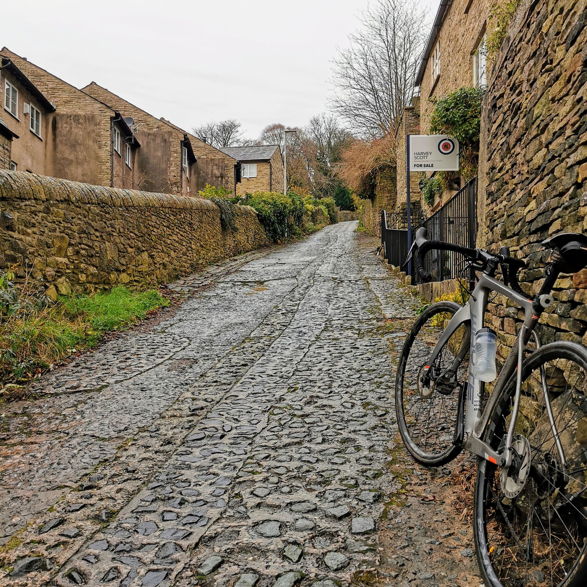
All climbs should have a cafe like this at the summit
0
0


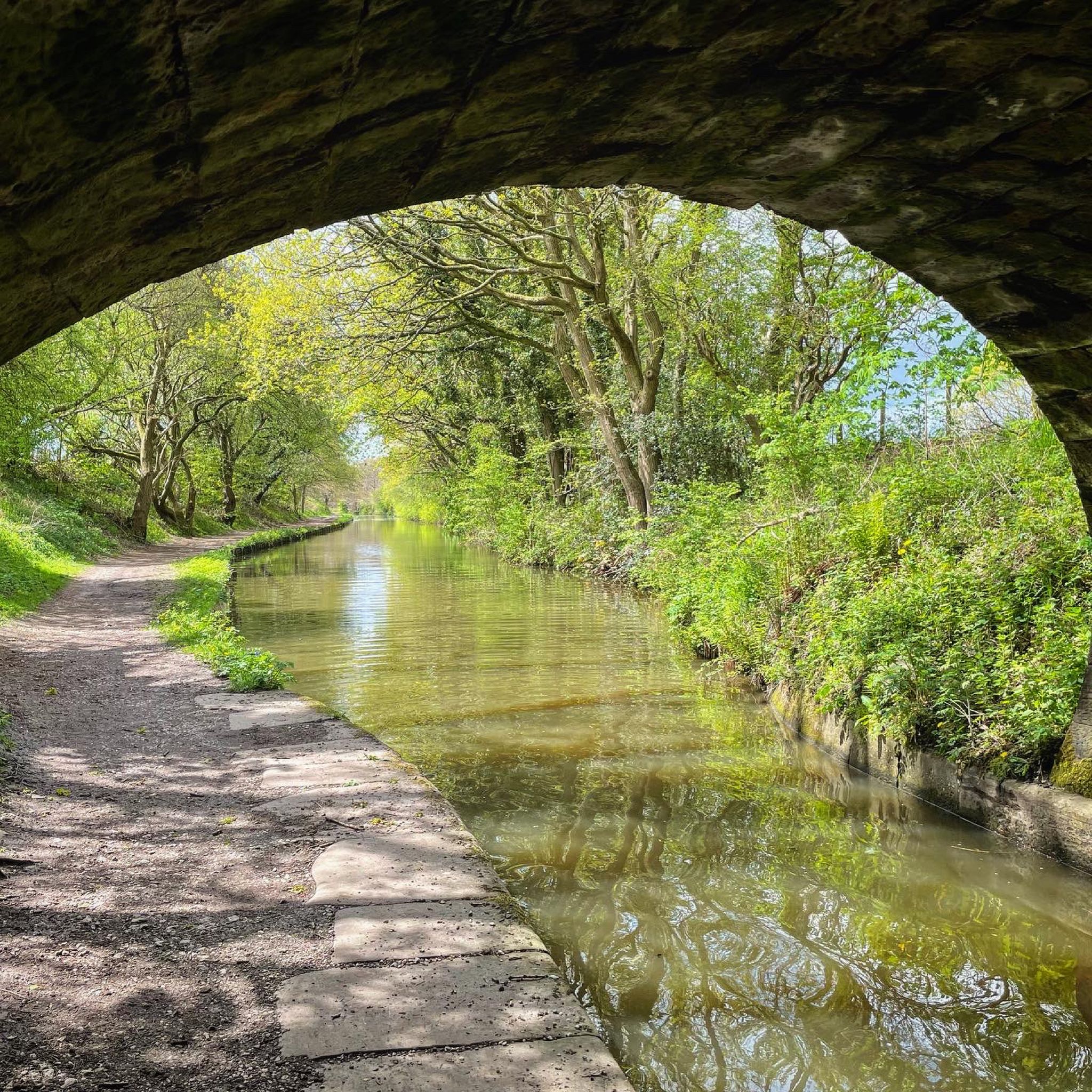
The packhorse bridge crosses Harrop Brook.
0
0


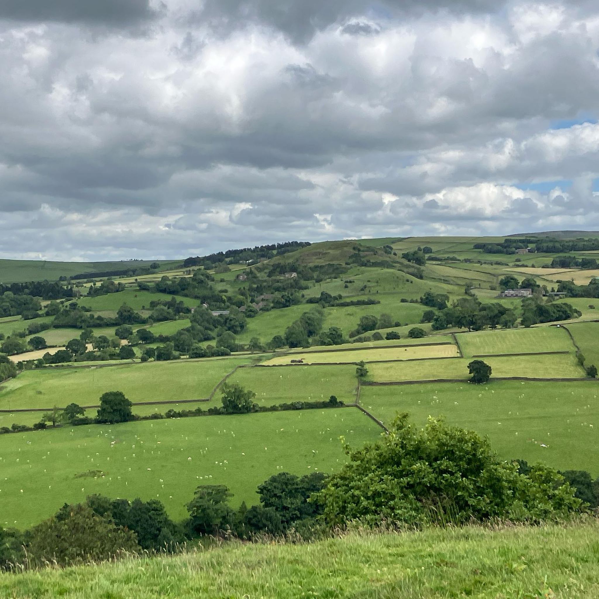
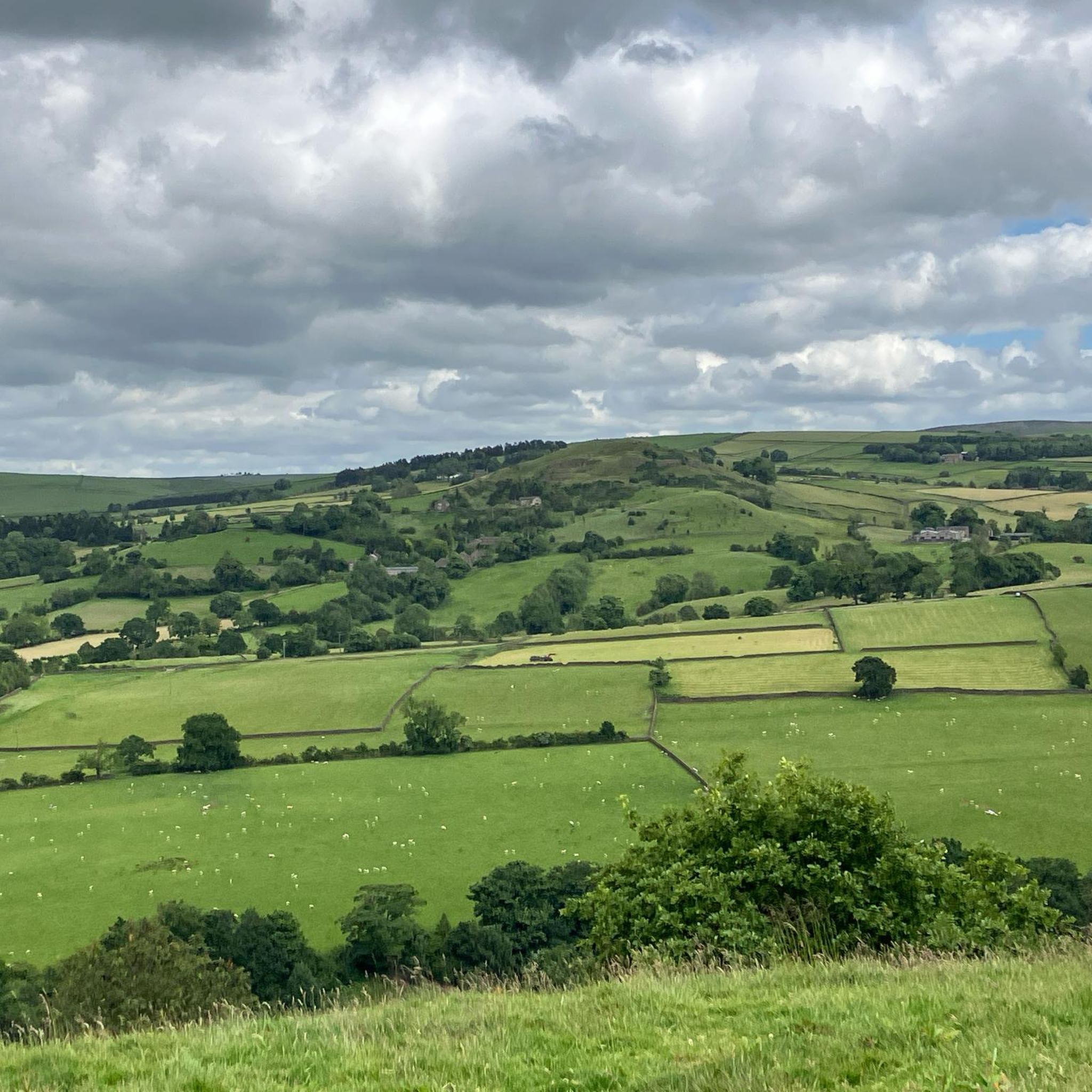
Tegg’s Nose has a pretty broad summit top. Here on the southern part of the nose is a good view point that has a stunning vantage point that overlooks Teggsnose and Bottoms Reservoirs. The surrounding woodlands and the lush green patchwork quilt of fields along with the two reservoirs make this a picture postcard scene.
1
0
Frequently Asked Questions
How many hiking trails are available around Bollington?
Bollington offers a wide variety of hiking experiences, with over 120 routes available on komoot. These range from easy strolls along canals to more challenging ascents into the Peak District foothills.
Are there any easy, family-friendly walks in Bollington?
Yes, Bollington has many accessible options suitable for families. The towpath alongside the Macclesfield Canal offers level walking routes, perfect for a relaxed outing. Additionally, the Middlewood Way, built on a former railway line, provides a safe and accessible path for all ages. For a specific easy route, consider the View of the Cheshire Plain – The Robin Hood Pub loop from Bollington, which is rated easy and offers pleasant landscapes.
Where can I find walks that feature waterfalls near Bollington?
The beautiful Ingersley Vale Waterfall is a notable natural attraction in the area. You can access it via several hiking loops around Bollington. A popular route that includes a waterfall is the Poacher's – Harrop Brook Waterfall loop from Bollington, which is a moderate 7.7 km trail.
What are the most scenic viewpoints or landmarks to visit on a hike?
Bollington is rich in scenic spots. A prominent feature is White Nancy, a distinctive folly atop Kerridge Ridge, offering expansive views across Bollington, the Cheshire Plain, and even to the Welsh hills on clear days. The ascent to White Nancy is a popular hike, such as the White Nancy – View from the summit of Tegg's Nose loop from Bollington. Other notable viewpoints include Cats Tor and Shutlingsloe Summit, both offering stunning vistas of the surrounding Peak District landscape.
Are there any challenging hikes for experienced walkers?
While Bollington offers many moderate and easy trails, its location on the edge of the Peak District National Park means more challenging options are available. The Gritstone Trail, a 35-mile long-distance footpath, traverses Bollington and incorporates the impressive Kerridge Ridge, providing adventurous hikers with stunning views and more demanding terrain. The Peak District Boundary Walk also connects to Bollington, offering sections with varied landscapes and greater difficulty.
What do other hikers say about the trails in Bollington?
The hiking routes in Bollington are highly rated by the komoot community, with an average score of 4.6 stars from over 240 reviews. Hikers often praise the diverse terrain, from gentle canal paths to elevated moorland, and the stunning panoramic views, particularly from landmarks like White Nancy.
Are there any circular walks available in Bollington?
Yes, many of Bollington's trails are designed as circular routes, allowing you to start and finish in the same location. Examples include the Blaze Hill & Harrop Wood loop — Peak District National Park and the White Nancy – View from the summit of Tegg's Nose loop from Bollington. The local network of trails also includes easy circular paths like the Bollington War Memorial – Clarence Mill loop.
Can I access trails in Bollington using public transport?
Bollington is part of the 'Walkers are Welcome Network,' indicating its commitment to accessibility for walkers. While specific public transport links to trailheads vary, the town itself is served by local bus routes, making it possible to reach the starting points of many walks. The Middlewood Way and Macclesfield Canal towpath are also easily accessible from the town centre.
What kind of terrain can I expect on hikes around Bollington?
Hiking around Bollington offers a diverse range of terrain. You'll find gentle, flat paths along the Macclesfield Canal and Middlewood Way, rolling hills and valleys, and more elevated moorland and gritstone formations as you venture towards the Peak District National Park. Routes often combine these elements, providing varied experiences.
Are there any historical or industrial heritage sites to see on the walks?
Absolutely. Many walks in Bollington offer glimpses into its rich industrial past. Trails along the Macclesfield Canal reveal historical features like old mills and other industrial structures. The Bridgend Heritage and Tree Trails also provide opportunities to explore iconic spots such as Tinkers Clough and Dumbah Hollow, connecting the natural environment with the town's history.
Are there any lakes or reservoirs near Bollington that can be incorporated into a hike?
Yes, the area around Bollington features several beautiful reservoirs that can be part of a scenic hike. Notable examples include Errwood Reservoir and Trentabank Reservoir. These offer picturesque waterside walking opportunities and are often surrounded by stunning natural landscapes.
Most popular routes around Bollington
Most popular attractions around Bollington

Get inspired with the komoot mobile app


Explore more
Browse the best Hikes in other regions.
