The best cycling routes around Weyarn
4.5
(89)
740
riders
45
rides
Touring cycling around Weyarn offers routes set against the backdrop of the Bavarian Alps, featuring diverse natural landscapes. The region includes picturesque lakes such as Schliersee and Seehamer See, with trails often following the Leitzach River. The Mangfall Valley provides verdant hills and meadows, while the Wattersdorfer Moor offers unique boardwalk explorations. Routes vary from gentle paths through valleys to more challenging ascents towards higher viewpoints, catering to various skill levels.
Best touring cycling routes around Weyarn
- The most popular…
Last updated: August 1, 2026
4.8
(9)
74
riders
33.7km
02:36
680m
680m
Hard bike ride. Very good fitness required. Mostly paved surfaces. Suitable for all skill levels.
5.0
(11)
43
riders
13.0km
00:48
110m
110m
Easy bike ride. Great for any fitness level. Mostly paved surfaces. Suitable for all skill levels.

Sign up for free
4.2
(9)
92
riders
20.2km
01:11
120m
120m
Easy bike ride. Great for any fitness level. Mostly paved surfaces. Suitable for all skill levels.
4.7
(3)
42
riders
43.0km
03:17
820m
820m
Hard bike ride. Very good fitness required. Mostly paved surfaces. Suitable for all skill levels.
5.0
(4)
37
riders
Easy bike ride. Great for any fitness level. Mostly paved surfaces. Suitable for all skill levels.
Get access to more routes and recommendations from other explorers.
Sign up for free
Already have an account?
Our route recommendations are based on thousands of hikes, rides, and runs completed by other people on komoot.
Start today with a free account
Your next adventure awaits.
Login or Signup
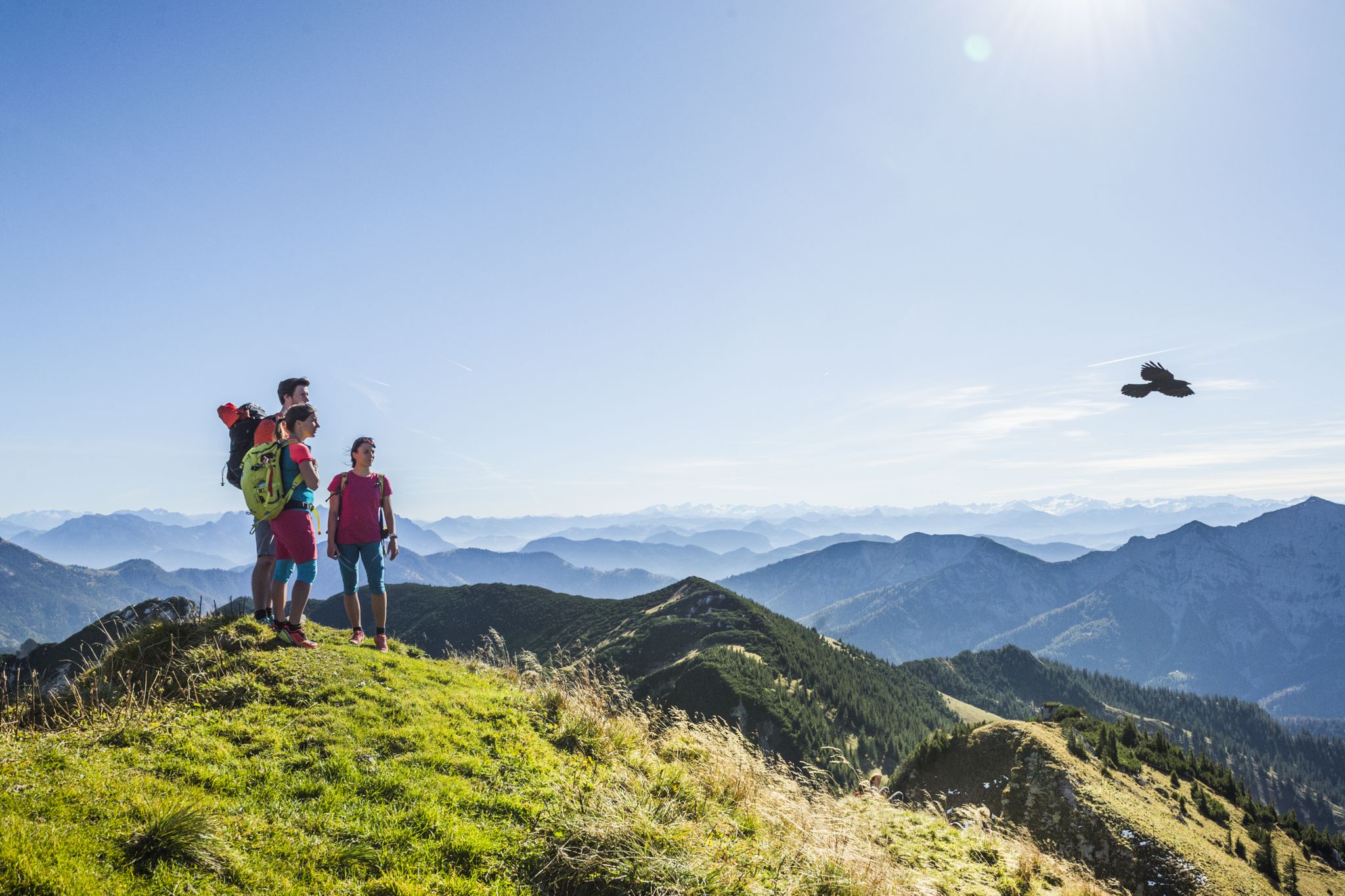
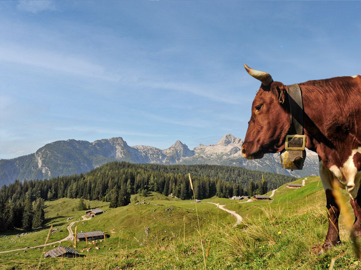
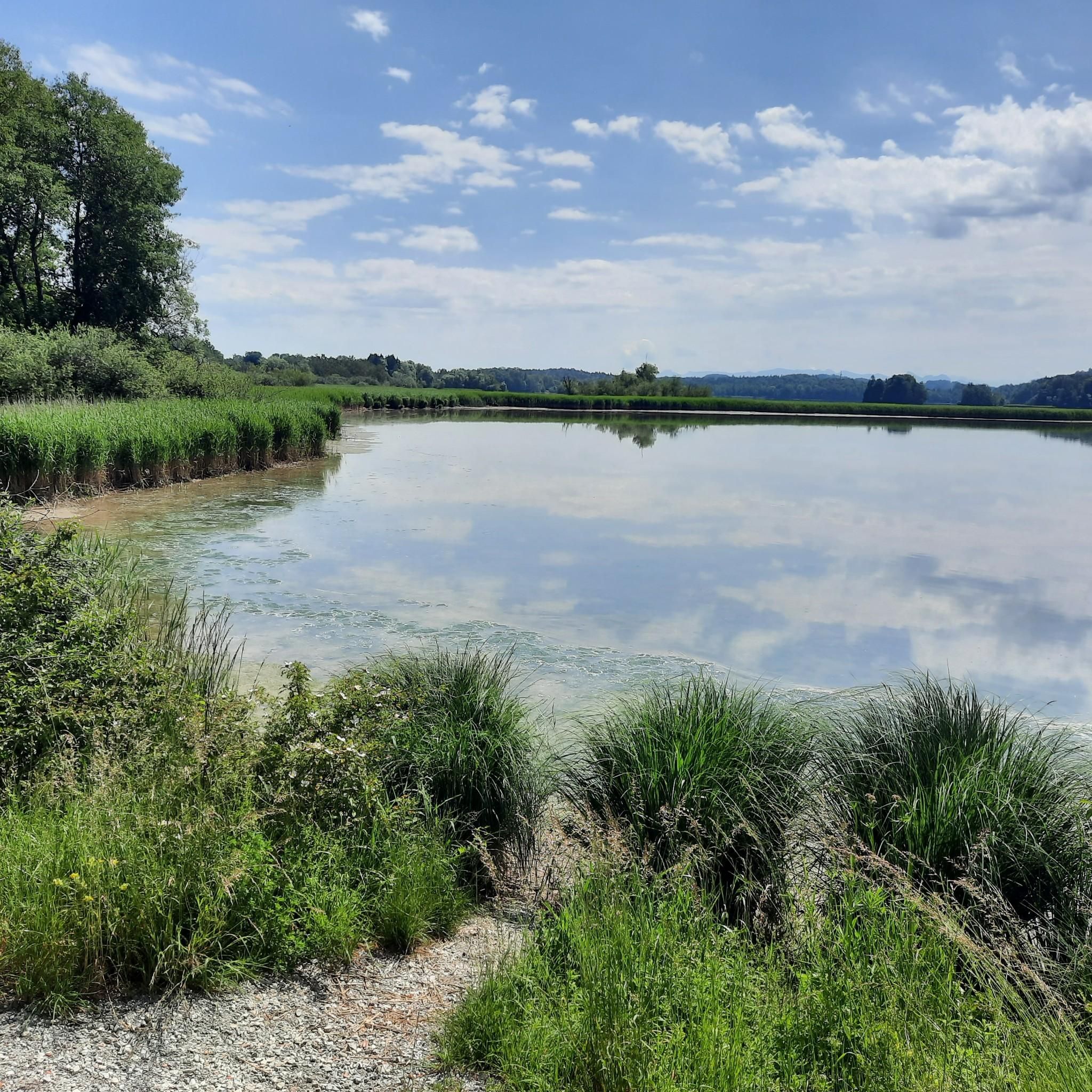
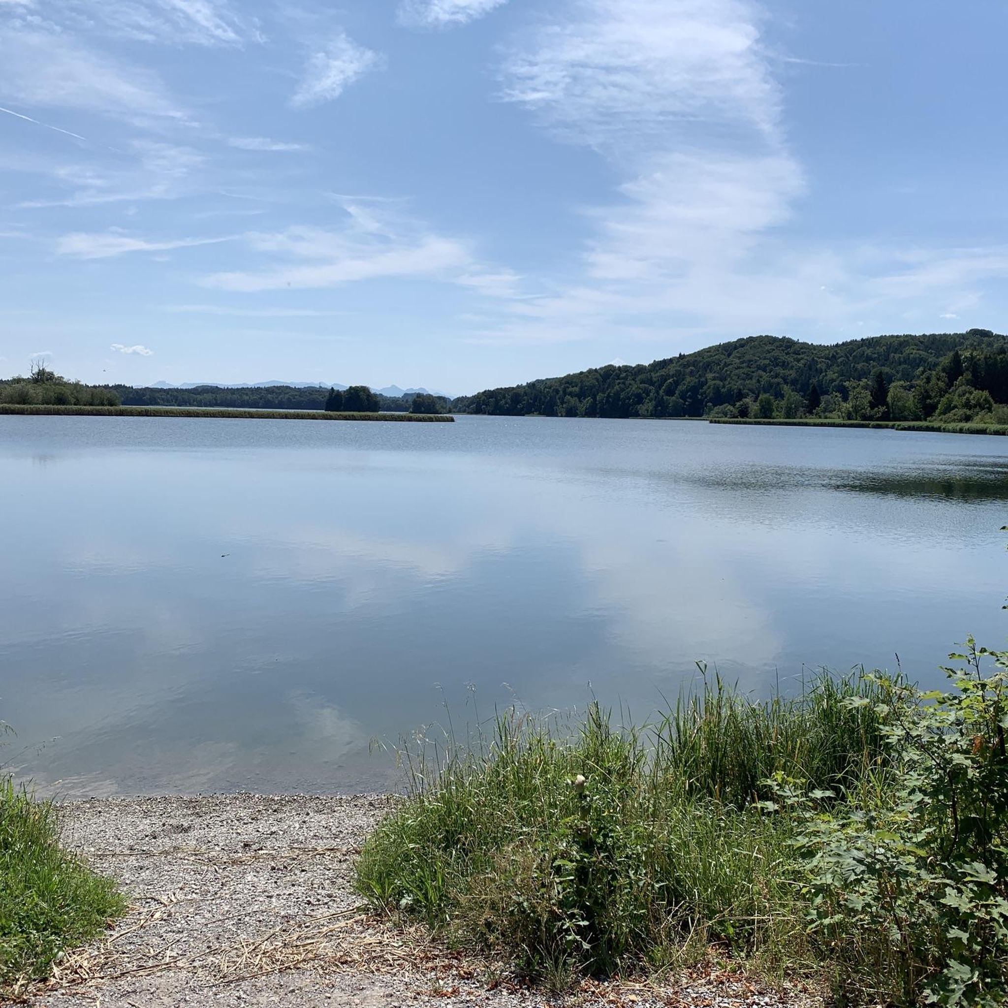
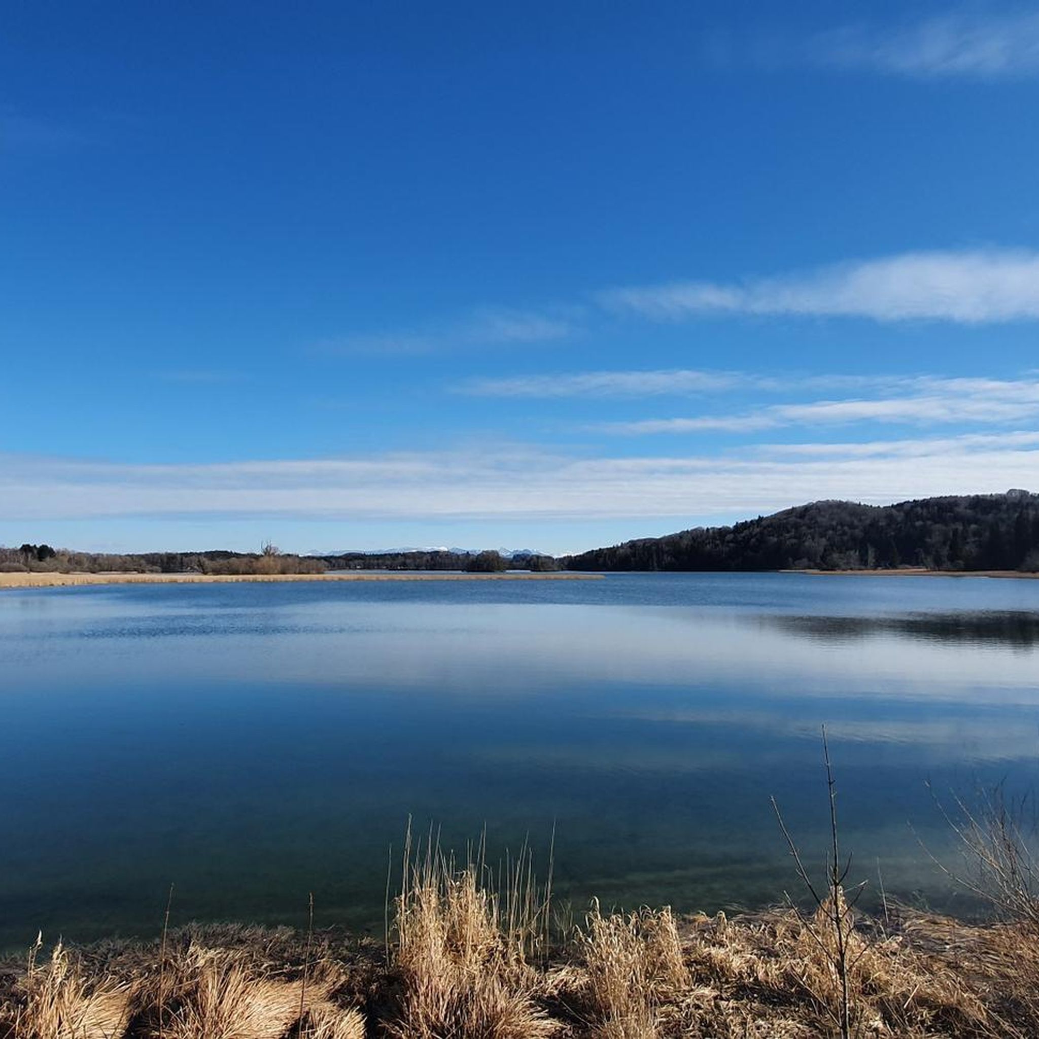

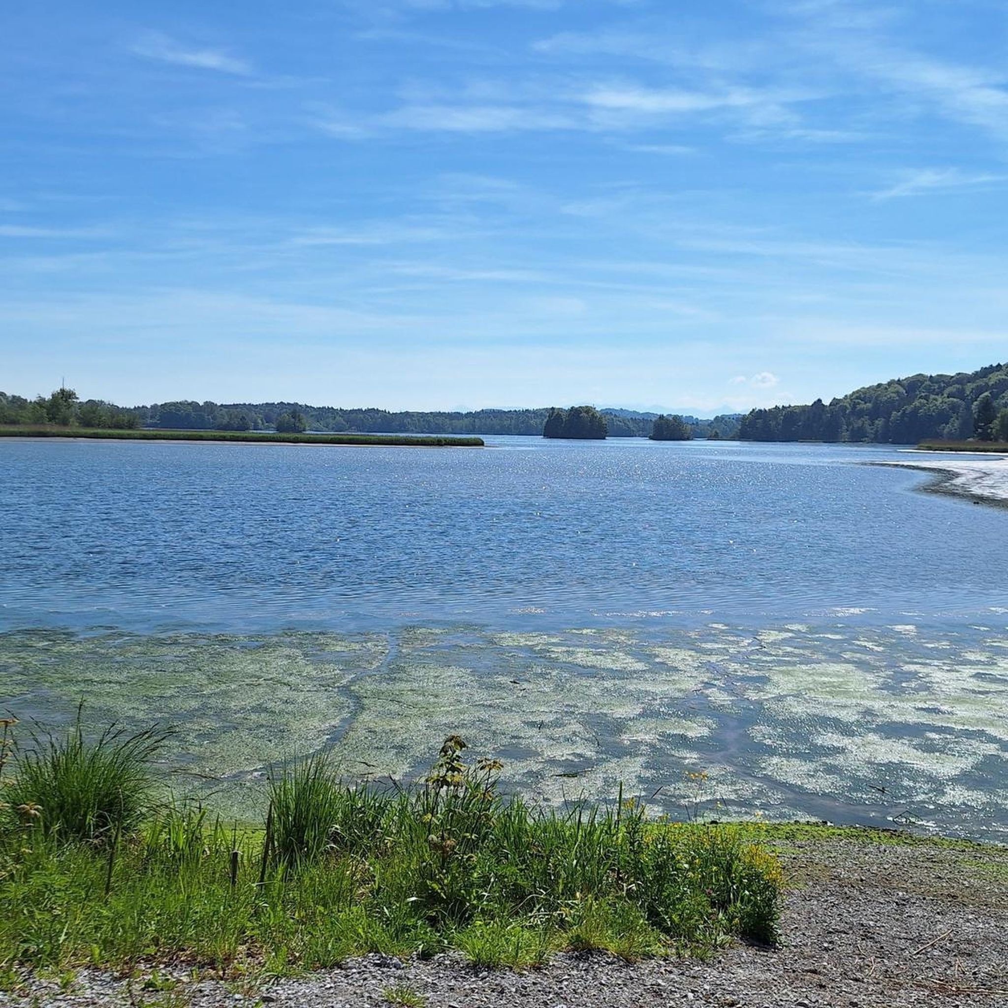



Tips from the Community


I walk this path regularly and always enjoy doing so.
1
0

An unimaginable treasure is hidden behind this inconspicuous but highly secured door: the Gotzinger Hangquellfassung (Gotzing hillside spring capture). Below the Weyarn district of Gotzing, this hillside spring emerges from the groundwater flow that runs south of the Taubenberg. The tunnels behind it have a length of 2,552.6 meters and were put into operation as early as 1899. The special feature: Due to the altitude of the spring's outlet – around 100 meters above the geographical altitude of the city of Munich – the valuable water flows by gravity into Munich from the Mangfall valley located to the south, without any additional energy expenditure. Around 2,800 liters of water per second thus flow to Munich and supply the population with about 75 percent of their daily water needs. Fresh from the spring, the water bubbles naturally from the pre-Alpine region, free of pollutants, clear, and therefore of the best drinking water quality. To ensure this remains the case, Stadtwerke München (Munich City Utilities) began in 1992 to work closely with farmers in the catchment area of the springs. The idea: Organic farming in the catchment area of the springs. Because where no chemical-synthetic fertilizers or pesticides are used, neither nitrate nor pesticides get into the groundwater. Today, the Mangfall valley is one of the largest closed organic farming areas in Germany. One of the marketing partners for these farmers is the Berchtesgadener Land dairy cooperative. It purchases organic milk from the Mangfall valley, processes it into high-quality organic Alpine milk products, and ensures that the conversion is also economically worthwhile for the farmers. The result: an exemplary alliance of water protection and regional value creation. Consumers benefit twice – from pure drinking water and the best organic milk from one of Bavaria's most beautiful landscapes.
0
0
They always look so stupid 😁
1
0

The core of the Old Town Hall in Holzkirchen was probably built in the 17th/18th century. The new town hall was built next to the old town hall. The two-story, gabled, gable-roofed building with stepped gables was rebuilt in neo-Gothic style in 1842 and 1896.
0
0

A short climb before you head down to the lakeside route
0
1

A great route through the forest along the stream
0
0
Frequently Asked Questions
How many touring cycling routes are available in Weyarn?
There are over 50 touring cycling routes around Weyarn, offering a wide range of options for different skill levels. You'll find routes varying from easy, leisurely rides to more challenging excursions through the Bavarian Alps.
When is the best time of year to go touring cycling in Weyarn?
The optimal times for touring cycling in Weyarn are during spring and autumn. The weather is pleasantly mild, and the paths are generally less crowded, providing an ideal environment for outdoor enjoyment.
What do other cyclists think about the routes in Weyarn?
The touring cycling routes in Weyarn are highly rated by the komoot community, with an average score of 4.6 stars from over 120 reviews. Cyclists often praise the diverse natural landscapes, from picturesque lakes to the dramatic backdrop of the Bavarian Alps.
Are there easy touring cycling routes suitable for beginners or families in Weyarn?
Yes, Weyarn offers several easy touring cycling routes perfect for beginners or families. For instance, the Lake Seehamer – View of Reichersdorf loop from Weyarn is an 8-mile (12.9 km) easy trail that can be completed in under an hour, circling Lake Seehamer with minimal elevation gain. Another family-friendly option is a 12.9 km route around Lake Seehamer itself.
Are there challenging touring cycling routes for experienced riders?
Absolutely. For experienced riders seeking a challenge, Weyarn provides several demanding routes. The Leitzach River – View of Schliersee loop from Seehamer See mit Wattersdorfer Moor is a difficult 35.9-mile (57.9 km) path with significant elevation changes. Another challenging option is the Gindelalmen Viewpoint – View of Schliersee loop from Großseeham, which spans 33.2 km and includes substantial climbs.
What kind of terrain can I expect on touring cycling routes around Weyarn?
The terrain around Weyarn is quite varied. You can expect routes that wind past picturesque lakes like Schliersee and Seehamer See, alongside the tranquil Leitzach River, and through the verdant hills and lush meadows of the Mangfall Valley. Some routes feature mostly paved surfaces, while others include more challenging ascents towards viewpoints in the Bavarian Alps.
Are there circular touring cycling routes available in Weyarn?
Yes, many touring cycling routes in Weyarn are designed as loops, allowing you to start and end at the same point. Examples include the View of Schliersee – St. Sixtus Church, Schliersee loop from Thalham and the View of Lake Tegernsee – Tegernsee loop from Kleinpienzenau, which offers expansive views of Lake Tegernsee.
What natural features or landmarks can I see along the touring cycling routes?
Along the routes, you can discover stunning natural features and landmarks. These include the picturesque lakes Schliersee and Seehamer See, the tranquil Leitzach River, and the scenic Mangfall Valley. You might also encounter unique natural explorations on the boardwalks in Wattersdorfer Moor. For panoramic views, routes often lead to viewpoints like the Gindelalmen Viewpoint.
Are there any historical sites or cultural attractions to visit while cycling?
Yes, several routes pass by charming historical and cultural attractions. You can visit the historic St. Sixtus Church in Schliersee, the St. Leonhard Chapel, or explore various castles such as Reisach Water Castle or Vagen Castle. The Mangfall area also features points of interest like the Steel Horse Sculptures at Anderlmühle.
Are there places to stop for refreshments or meals along the routes?
Many touring cycling routes in Weyarn offer opportunities for refreshment stops. The Maxlmühle Inn, for example, is a convenient stop for meals and drinks along routes in the Mangfall area. You'll also find cafes and pubs in the towns and villages you pass through, especially around the popular lakes.
Is there parking available near the touring cycling routes in Weyarn?
Yes, parking is generally available in and around Weyarn, particularly near popular starting points for cycling routes. Many villages and towns in the region offer designated parking areas, often close to lakes or trailheads, making it convenient to access the routes.
How can I access the touring cycling routes in Weyarn by public transport?
Weyarn and the surrounding communities are accessible by public transport, primarily through regional train and bus services. You can often reach towns near popular cycling routes, such as Schliersee or Holzkirchen, by train, and then connect to local bus services or start your ride directly from the station. It's advisable to check local transport schedules for specific route access points.
Most popular routes around Weyarn
Most popular attractions around Weyarn

Get inspired with the komoot mobile app


Explore more
Browse the best Cycling routes in other regions.
