The best walks and hikes around Tendring
4.5
(532)
4,507
hikers
156
hikes
Hikes around Tendring explore a landscape of contrasts in northeast Essex, from its extensive coastline to its tranquil inland woods. The region is defined by the North Sea and the estuaries of the River Stour and River Colne, creating a network of coastal paths, saltmarshes, and low cliffs. Inland, the terrain shifts to ancient woodlands and nature reserves, offering a different but equally engaging hiking experience.
Best hiking trails around Tendring
- The most popular hiking route is Wrabness Nature Reserve…
Last updated: October 24, 2026
5.0
(8)
25
hikers
Moderate hike. Good fitness required. Easily walkable paths.
4.7
(3)
10
hikers
Hard hike. Very good fitness required. Easily walkable paths.

2.0
(1)
2
hikers
10.4km
02:40
40m
40m
Moderate hike. Good fitness required. Easily walkable paths.
4
hikers
4.75km
01:13
20m
20m
Easy hike. Easily walkable paths.
4.0
(1)
12
hikers
Moderate hike. Good fitness required. Easily walkable paths.
Get access to more routes and recommendations from other explorers.
Already have an account?
Our route recommendations are based on thousands of hikes, rides, and runs completed by other people on komoot.
Start today with a free account
Your next adventure awaits.

Tips from the Community

Not quite a Samuel L Jackson sequel, but within a few minutes of each other, I nearly stepped on two snakes that were using the narrow path as a sunlounger. I almost twisted an ankle avoiding the first which casually wander back into the longer grass before I could take a photo and the second was partially under dead grass, but by this point I was thinking it was like the Indianna Jones snake scene and my brain decided to pick up the pace and leg it rather than take a photo. They were nice looking, blue and grey with a diamond pattern on their backs, the first about 12-15 inches and the second looked fatter but I could not see it all.. From the web : https://www.woodlandtrust.org.uk/trees-woods-and-wildlife/animals/reptiles-and-amphibians/adder/ Photo matching the snake from the website above.
0
0

Bit long. Remember it goes dark at 16:00 in Winter. We did half of it in tge dark though perfectly safe.
0
0

A House for Essex is a stunning piece of art by FAT Architecture and Grayson Perry. Part of the 'Living Architecture' programme, it is rented out as holiday accommodation and the inside is a gallery of further artwork.
0
0

Stour Wood, in Essex, is a serene natural oasis that offers lush greenery, diverse wildlife, and scenic trails alongside the River Stour.
1
0

Nice flat, peaceful riverside route between Manningtree and Mistley Towers (the only remaining parts of a demolished church).
0
0
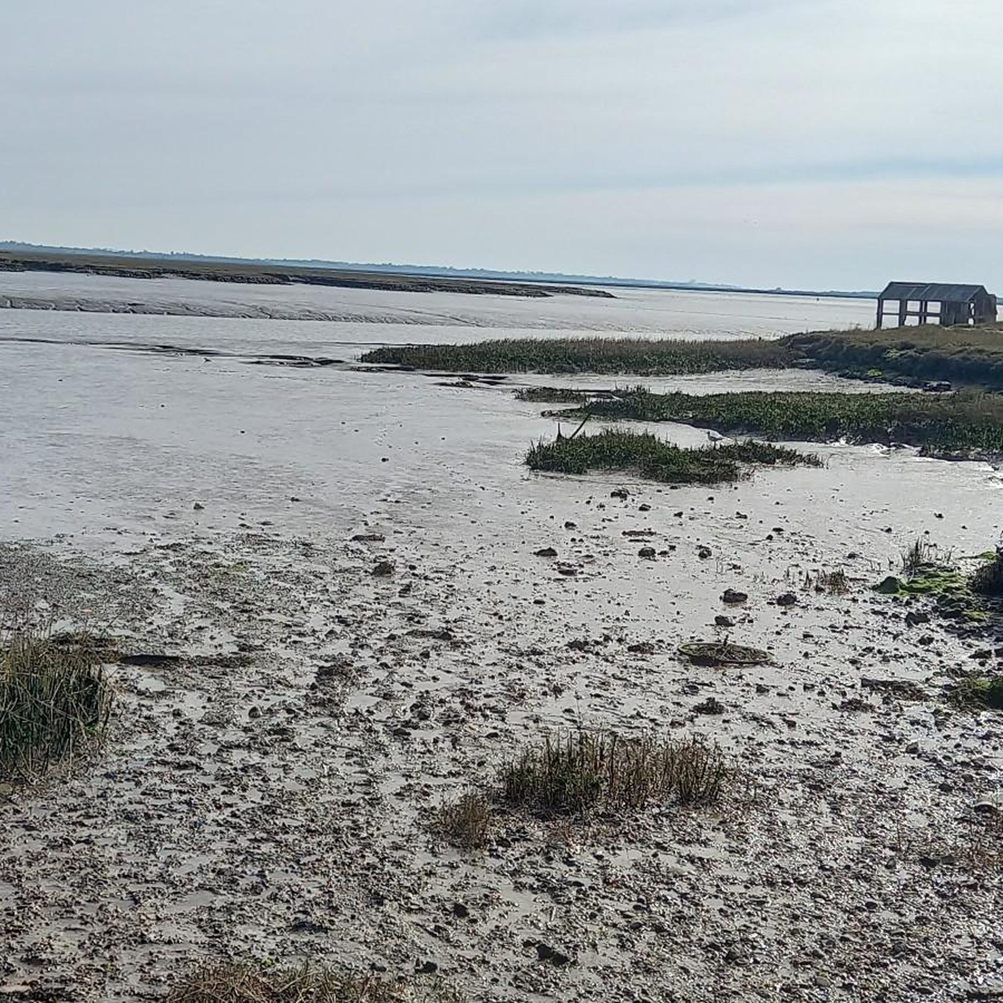
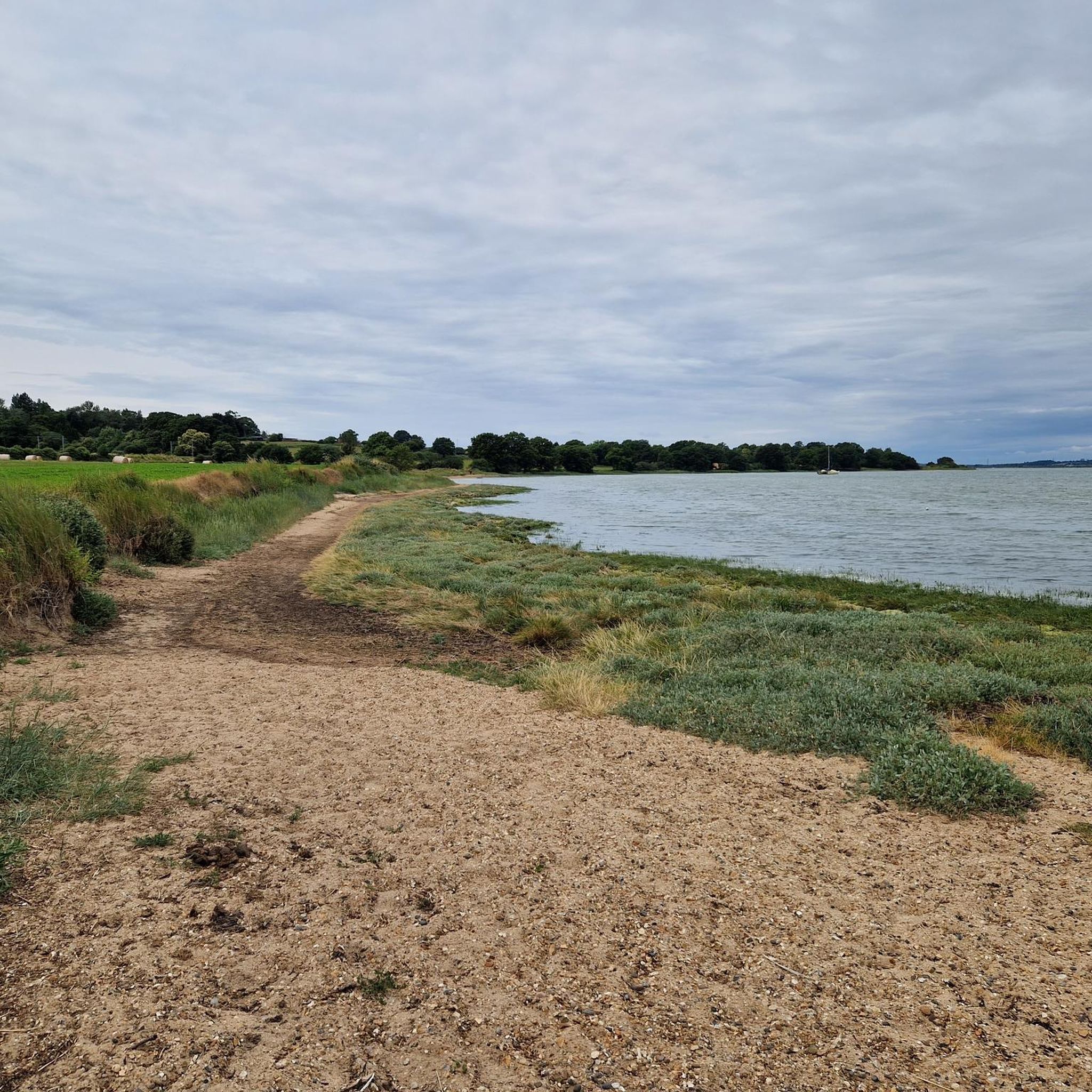
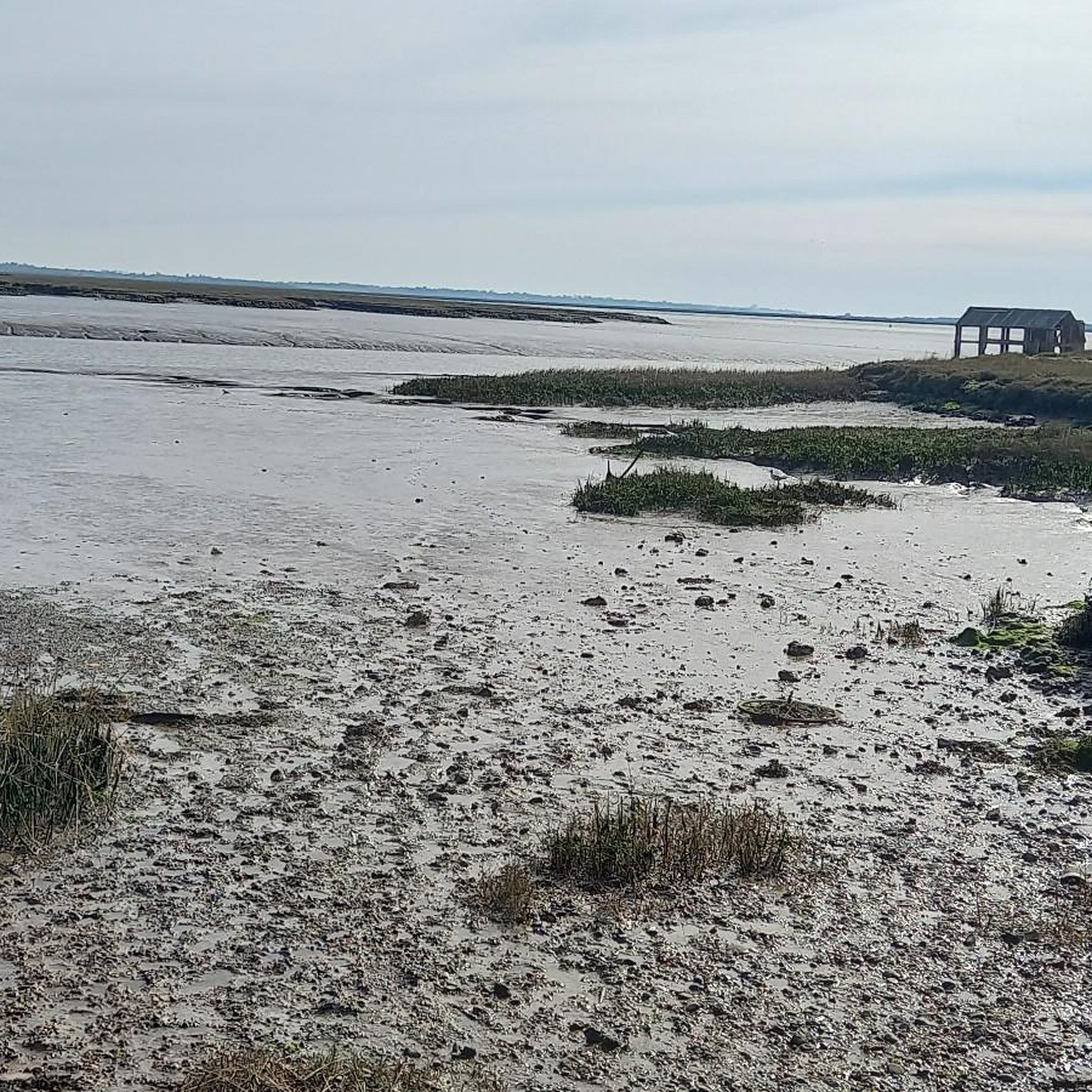
The River Stour flows between Cambridgeshire and Harwich at the North Sea. This section is tidal with sandy beaches which make it feel much more coastal than river.
2
0
A House for Essex is a stunning piece of art by FAT Architecture and Grayson Perry. Part of the 'Living Architecture' programme, it is rented out as holiday accommodation and the inside is a gallery of further artwork.
3
0

A House for Essex also known as Julie’s House is a conceptual holiday home located at the end of a secluded cul-de-sec in Wradness Essex overlooking the river Stour. Commissioned by the philosopher Alain De Bottan as part of his living architecture series. Created by Grayson Perry in collaboration with Architect studio FAT.
0
0
Frequently Asked Questions
Are dogs allowed on the hiking trails in Tendring?
Yes, Tendring is generally a dog-friendly area for walking, but it's always best to keep your dog on a lead, especially near wildlife reserves like Hamford Water and farmland with livestock. Many trails, including those through woodlands and along coastal paths, are suitable for walking with dogs.
Are there any easy, family-friendly walks in Tendring?
Absolutely. The region has many shorter, flatter routes perfect for a family outing. For a gentle walk with coastal scenery, consider the Brightlingsea Upper Wetlands loop from St Osyth. At under 3 miles, it's a great way to introduce little legs to hiking and explore the local wetlands.
What are the best places for a woodland hike?
Tendring is home to several beautiful ancient woodlands. Wrabness Woods, which includes Stour Wood and Copperas Wood, is a popular favourite for its scenic trails and views over the Stour Estuary. The area is particularly known for its bluebell displays in spring. Weeleyhall Wood is another excellent choice for a peaceful woodland walk.
What is the coastal hiking like in Tendring?
The coastline offers a unique hiking experience characterized by estuaries, saltmarshes, and low cliffs. A highlight is The Naze, a peninsula near Walton-on-the-Naze, which offers dramatic views and is a known spot for finding fossils. The coastal paths often pass through nature reserves, providing excellent opportunities for birdwatching.
Are there any long-distance trails that pass through Tendring?
Yes, the Essex Way, an 81-mile long-distance footpath, crosses through the Tendring district. You can hike sections of this well-marked trail to experience the region's picturesque rural landscapes, passing through charming villages and rolling countryside.
I'm a beginner. What kind of trails can I expect?
Tendring is an excellent destination for beginners. The majority of the trails are rated as easy, with minimal elevation change. You'll find many well-maintained footpaths through fields, along riverbanks, and on coastal promenades that are perfect for getting started with hiking.
How many hiking trails are there in Tendring?
There are over 160 hiking routes to explore around Tendring on komoot. They range from short, easy strolls to more challenging long-distance treks, covering the diverse landscapes of the coast, estuaries, and inland woods.
What do other hikers enjoy most about the trails in Tendring?
The trails in Tendring are highly rated by the komoot community. Hikers often praise the variety of scenery, from the expansive coastal views and wildlife-rich estuaries to the tranquility of the ancient woodlands. The mix of well-marked paths and quiet country lanes is also frequently mentioned as a highlight.
What is the best time of year to hike in Tendring?
You can hike in Tendring year-round, but each season offers something different. Spring is spectacular for the bluebells in woodlands like Weeleyhall Wood and for hearing nightingales at Wrabness Nature Reserve. Summer is ideal for coastal walks, while autumn brings beautiful colours to the woodlands. Winter can be crisp and quiet, perfect for birdwatching along the estuaries.
Are there any particularly challenging hikes in the area?
While most trails are easy or moderate, there are longer options for those seeking a challenge. The A House for Essex – Wrabness Nature Reserve loop from Bradfield is a 13.7-mile (22 km) route that provides a more strenuous day out, exploring a significant portion of the Stour Estuary shoreline and inland paths.
Can I get to the trailheads using public transport?
Yes, several towns in the Tendring district, such as Wrabness, Thorpe-le-Soken, and Walton-on-the-Naze, have train stations. These can serve as excellent starting points for hikes, allowing you to access coastal and woodland trails without a car.
Where can I find a good circular walk?
Circular walks are very popular in Tendring. For a route that combines woodland and river views, the Wrabness Nature Reserve – Sandy Beach on the River Stour loop from Bradfield is a fantastic moderate option. This 5.6-mile (9.1 km) trail offers a great taste of the area's natural beauty.
Most popular routes around Tendring
Most popular attractions around Tendring

Get inspired with the komoot mobile app


Explore more
Browse the best Hikes in other regions.
