The best MTB trails around Wertingen
4.8
(106)
300
riders
65
rides
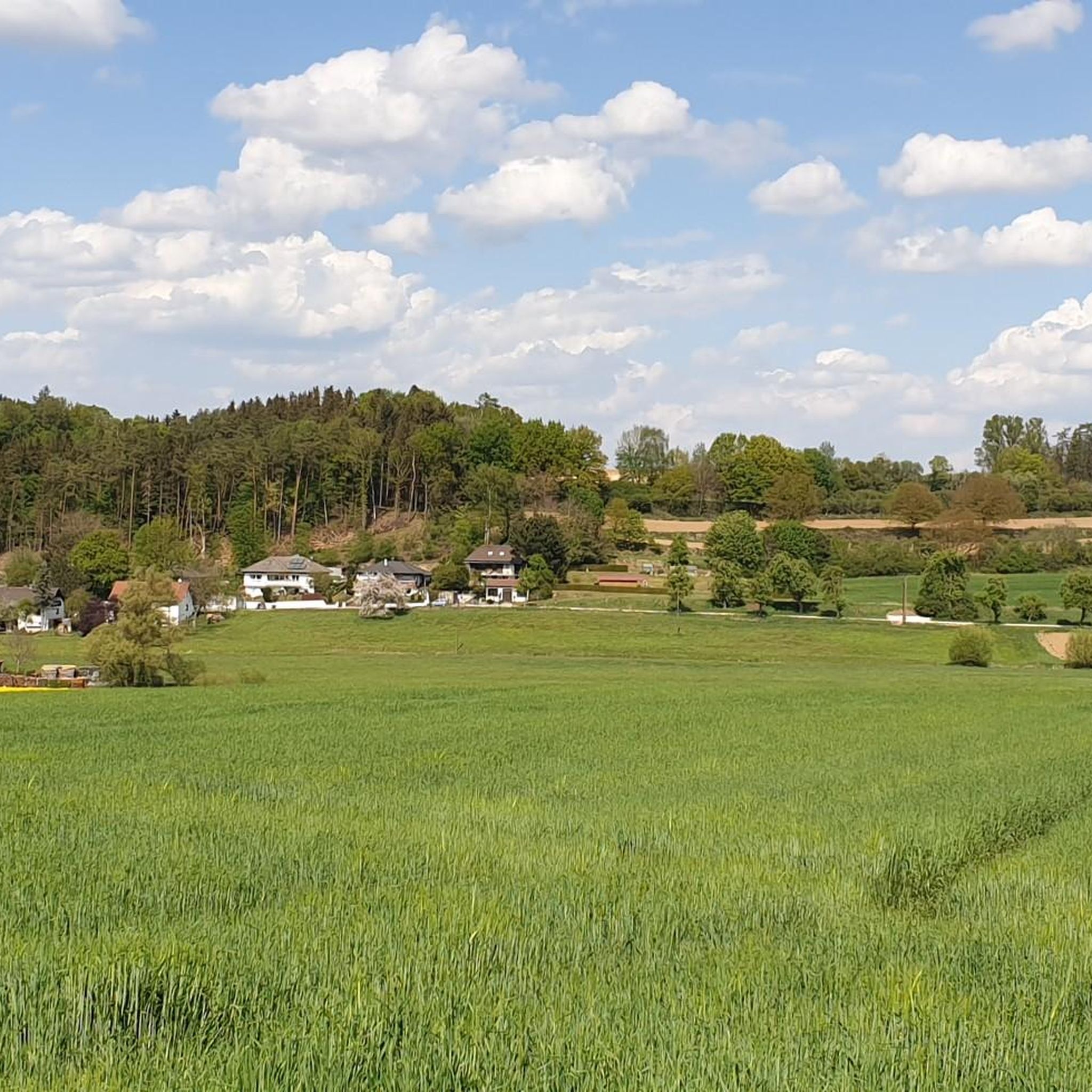
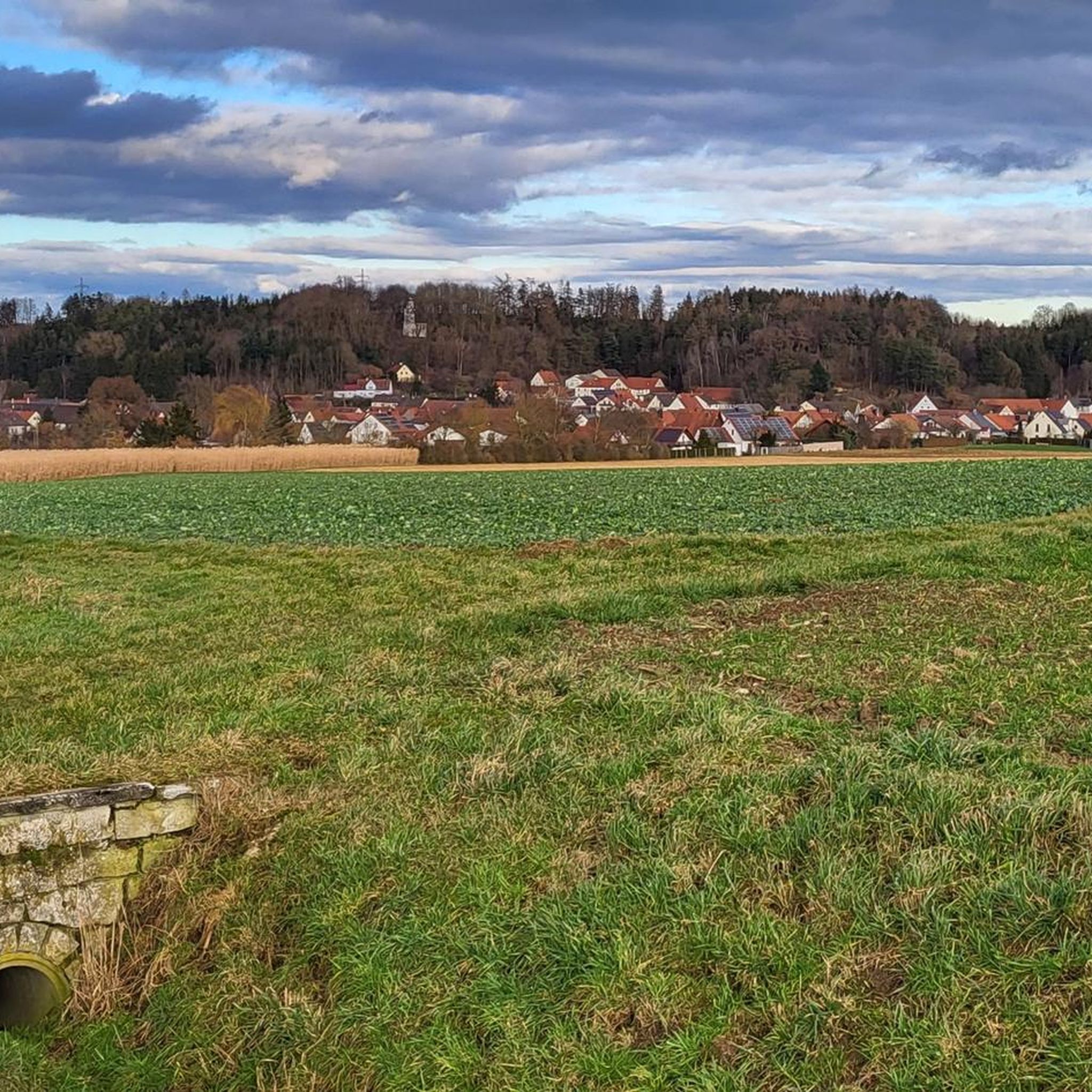
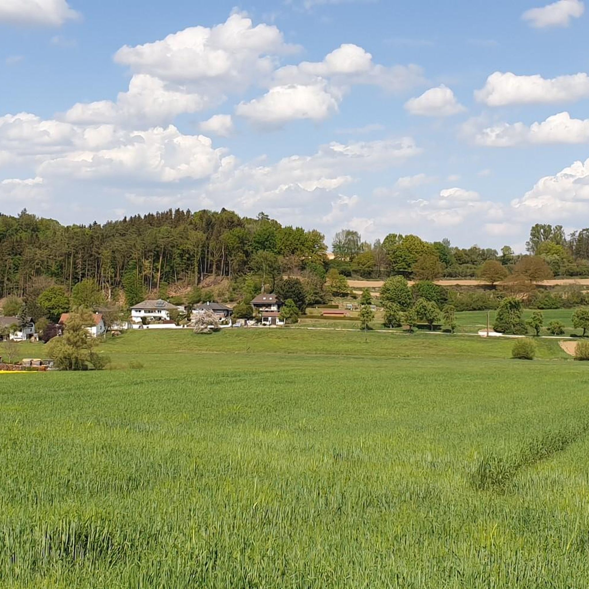
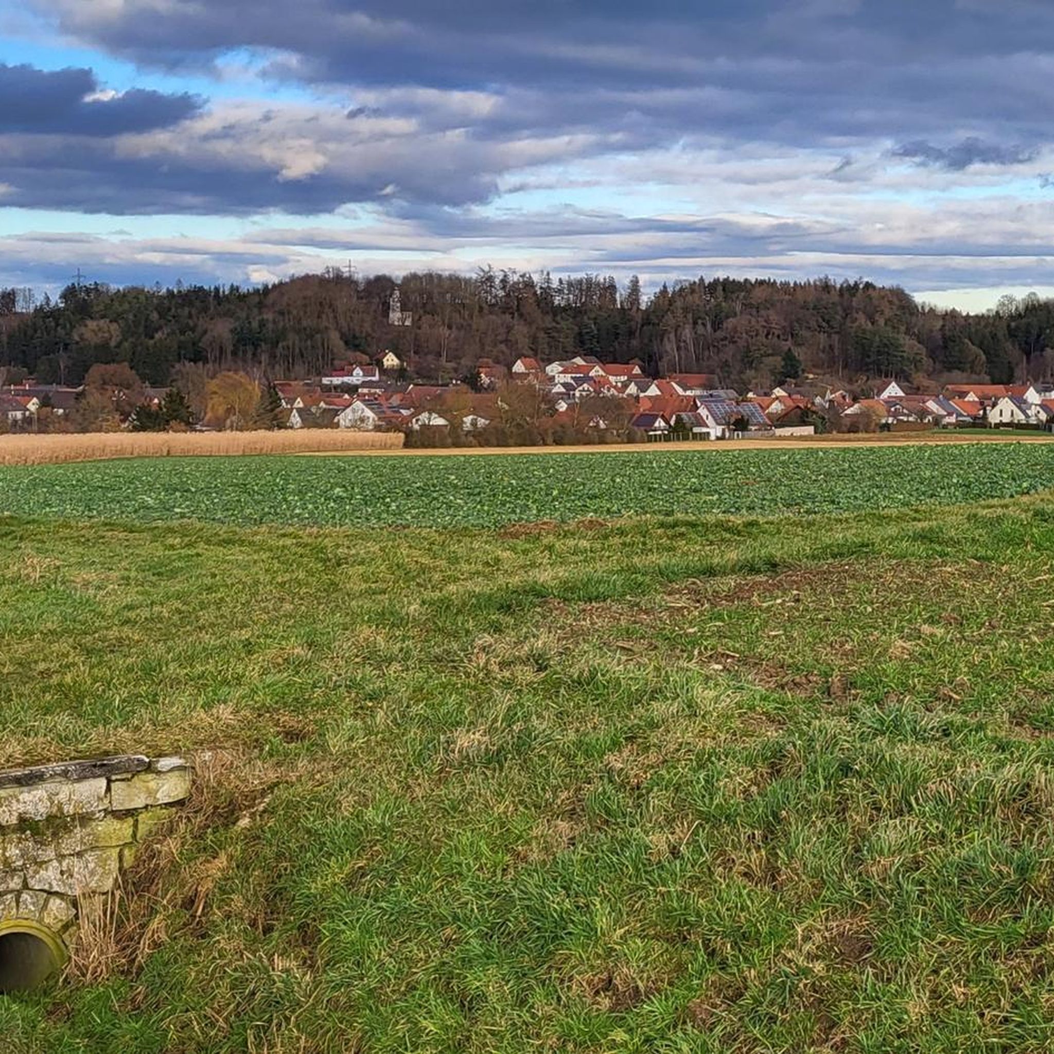
Mountain biking around Wertingen offers a diverse landscape characterized by river valleys, agricultural fields, and sections of woodland. The region features gentle rolling terrain with moderate elevation changes, making it accessible for various skill levels. Trails often follow the Zusam river and lead through forested areas, providing varied riding conditions. The area's topography supports both shorter, flatter routes and longer, more undulating paths.
Best mountain bike trails around Wertingen
- The most popular mountain bike trail is Ganghofer Hut, Welden –…
Last updated: October 28, 2026
4.5
(8)
24
riders
47.2km
03:46
510m
510m
Moderate mountain bike ride. Good fitness required. Advanced riding skills necessary.
4.6
(14)
34
riders
27.2km
01:30
150m
150m
Easy mountain bike ride.

4.8
(4)
8
riders
38.1km
02:39
360m
360m
Moderate mountain bike ride. Good fitness required.
5.0
(2)
9
riders
41.7km
02:17
240m
240m
Moderate mountain bike ride. Good fitness required.
6
riders
48.3km
02:54
270m
270m
Moderate mountain bike ride. Good fitness required. Advanced riding skills necessary.
Get access to more routes and recommendations from other explorers.
Already have an account?
Our route recommendations are based on thousands of hikes, rides, and runs completed by other people on komoot.
Start today with a free account
Your next adventure awaits.

Tips from the Community

Beautiful avenue. A feast for the senses. Don't just walk past.
0
0

Glötttal simply a dream
0
0

The interior is cozy and definitely invites you to linger for a while. If you walk about 400 meters further on the Hörgrabenweg and follow the first forest path leading left slightly uphill, you will reach the August-Ganghofer-Hütte. Pinecone target shooting on Nepomuk's nose Have fun with the target throwing: Hit the "Sparrow's Nest" with the pinecones! The game: Visitors pick up pinecones or spruce cones from the forest floor and try to hit a hole (the so-called "Sparrow's Nest") under the arm or directly the nose of the wooden figure of the bridge saint Nepomuk. The background: The station is part of a child-friendly adventure trail that playfully recalls the childhood of the homeland writer Ludwig Ganghofer, who grew up in Welden for a few years.
0
0

Gladly, here is the adapted version: ⸻ 🍻🌳 Highlight: Bräustüble Altenmünster – Perfect stop with a cozy beer garden Anyone on a bike tour or hiking through the region should definitely stop at Bräustüble Altenmünster. The large, shady beer garden under old chestnut trees invites you to relax and offers a wonderfully cozy atmosphere. 🌳🍺 Here you'll find freshly tapped Altenmünster beer, cool refreshments, and a varied menu with Swabian classics, Balkan specialties, juicy steaks, and fresh salads. Exactly what you need to recharge your batteries. 🍽️😋 The friendly service, delicious food, and quiet location make Bräustüble a real insider tip for cyclists, hikers, and day-trippers. 📍 My tip: Anyone passing through Altenmünster should not miss this beer garden. A perfect stop with delicious food, cool drinks, and Bavarian coziness – you'll want to linger here a little longer. 🍻🚴🥾
0
0


The most beautiful Bavarian Swabia 🤩
0
0


The facility in Emersacker is unique in Germany with 1.8 hectares of raised beds, numerous ponds and a protected biotope. It offers a variety of wild animal species, native, exotic and, above all, old fruit and vegetable varieties - and all of this is consistently ecological and sustainable. Guided tours are available on request.
0
0
Frequently Asked Questions
How many mountain bike trails are available around Wertingen?
There are over 70 mountain bike trails around Wertingen, offering a wide range of options for different skill levels. This includes 24 easy routes, 47 moderate routes, and a few more challenging options.
Are there easy mountain bike trails suitable for beginners in Wertingen?
Yes, Wertingen offers several easy mountain bike trails perfect for beginners. An example is the Wertingen Market Square – Picnic Area by the Zusam loop from Wertingen, which is 16.9 miles (27.2 km) long and takes about 1 hour 29 minutes, leading through riverine landscapes and local park areas.
What are some challenging mountain bike routes for advanced riders in Wertingen?
While Wertingen's terrain is generally rolling, there are routes that offer more challenge through their length and elevation gain. The Ganghofer Hut, Welden – Ice Pond loop from Possenried is a moderate route at 29.3 miles (47.2 km) with 1,677 feet (511 meters) of elevation gain, providing a good workout for experienced riders. For those seeking more technical challenges, exploring the forested sections can offer more demanding singletrack experiences.
Are there family-friendly mountain bike trails around Wertingen?
Yes, the region around Wertingen is well-suited for family-friendly mountain biking due to its gentle rolling terrain and moderate elevation changes. Many routes follow the Zusam river and pass through agricultural fields, offering pleasant and accessible rides for families. The easy trails are particularly suitable for younger riders or those looking for a relaxed outing.
Can I find circular mountain bike routes in Wertingen?
Most mountain bike routes around Wertingen are designed as loops, allowing you to start and end at the same point. For instance, the Bahnhöfle Horgau – Rothsee (Zusmarshausen) loop from Zusamaltheim is a popular 34.4-mile (55.3 km) circular path traversing varied terrain.
What is the best season for mountain biking in Wertingen?
The best seasons for mountain biking in Wertingen are typically spring, summer, and autumn. During these months, the weather is generally mild, and the trails are in good condition. Spring offers lush greenery, while autumn provides beautiful fall foliage. Summer is ideal for longer rides, but remember to stay hydrated.
Are there mountain bike trails in Wertingen that offer scenic viewpoints?
While Wertingen is characterized by river valleys and agricultural land, many routes offer scenic views of the rural landscape and forested areas. Trails often provide open vistas across fields and along the Zusam river. For specific natural beauty, consider routes that pass by highlights like the Eglesee or the Ice Pond.
What kind of natural attractions can I see while mountain biking in Wertingen?
Mountain biking in Wertingen allows you to explore various natural attractions. You can encounter several lakes, such as the Eglesee and the Ice Pond. The region also features natural monuments like the Taglilienfeld Nature Monument and scenic trails like the LandArt Trail Bonstetten.
What do other mountain bikers say about the trails in Wertingen?
The mountain bike trails in Wertingen are highly rated by the komoot community, with an average score of 4.8 stars from over 100 reviews. Riders often praise the diverse landscape, the mix of forest paths and open sections, and the well-maintained routes that cater to various skill levels.
Are there specific considerations for winter mountain biking in Wertingen?
Winter mountain biking in Wertingen is possible, but conditions can vary. Trails may be muddy, icy, or covered in snow, especially in forested areas. It's advisable to check local weather and trail conditions before heading out, and to use appropriate tires and gear for potentially slippery surfaces. Shorter days also mean less daylight, so plan your rides accordingly.
Are there mountain bike trails in Wertingen with options for food or drinks along the way?
Many routes around Wertingen pass through or near small towns and villages where you can find local eateries, cafes, or pubs. While specific trailside establishments are not always guaranteed, planning your route to include a stop in Wertingen itself or nearby communities like Welden or Zusamaltheim can provide opportunities for refreshments.
What is the typical duration and difficulty of mountain bike trails in Wertingen?
The mountain bike trails in Wertingen vary significantly in duration and difficulty. You can find shorter, easy rides like the Wertingen Market Square – Picnic Area by the Zusam loop, which is about 1 hour 29 minutes. Longer, moderate routes such as the St. Klaus Friends of Nature House – Stettner Cross loop from Wertingen can take around 2 hours 39 minutes and involve more elevation gain.
Are there mountain bike trails in Wertingen that are easily accessible by public transport or have parking?
While specific public transport links directly to trailheads might be limited, many routes start from central locations in Wertingen or nearby towns, which often have public parking available. For example, the Wertingen Town Center – Zusam River loop from Wertingen begins directly from the town center, making it convenient for those arriving by car.
Most popular routes around Wertingen
Most popular attractions around Wertingen

Get inspired with the komoot mobile app


Explore more
Browse the best MTB trails in other regions.
