The best road cycling routes around Welschbillig
4.6
(732)
14,657
riders
272
rides
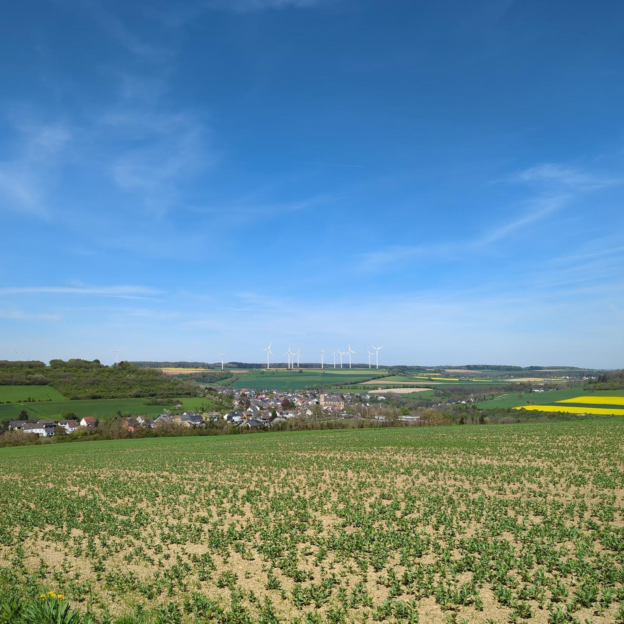
Road cycling around Welschbillig is characterized by its varied terrain, encompassing river valleys, rolling hills, and forested areas. The region features routes that traverse historical landscapes and natural waterways, offering diverse cycling experiences. Elevation changes are common, with some routes featuring significant climbs and descents.
Best road cycling routes around Welschbillig
- The most popular road cycling route is Hotel Bollendorf – Vianden Castle loop from Kordel, a 64.9 miles (104.5 km) trail that takes 4 hours 57 minutes to complete. This difficult route features over 4,100 feet (1,270 meters) of elevation gain.
- Another top favourite among local road cyclists is Hotel Bollendorf – Sauer River at Bollendorf loop from Kordel, a difficult 51.3 miles (82.6 km) path. This route follows the Sauer River and includes over 3,000 feet (930 meters) of ascent.
- Local road cyclists also love the Roman Bridge, Trier – View of Burg Ramstein loop from Kordel, a 17.2 miles (27.7 km) trail leading through historical areas, often completed in about 1 hour 13 minutes.
- Road cycling around Welschbillig is defined by river valleys, rolling hills, and forested landscapes. The network offers options for different ability levels, from easy rides to challenging climbs.
- The routes in Welschbillig are highly rated by the komoot community with an average score of 4.6 stars from over 700 reviews. More than 14,000 road cyclists have used komoot to explore Welschbillig's varied terrain.
Last updated: May 8, 2026
4.7
(6)
135
riders
104km
04:54
1,230m
1,230m
Hard road ride. Very good fitness required. Mostly well-paved surfaces and easy to ride.
13
riders
75.5km
03:39
840m
840m
Moderate road ride. Good fitness required. Some segments of this route may be unpaved and difficult to ride.

Sign up for free
5.0
(4)
29
riders
27.7km
01:13
180m
180m
Easy road ride. Great for any fitness level. Mostly well-paved surfaces and easy to ride.
16
riders
36.7km
02:05
490m
490m
Moderate road ride. Good fitness required. Some segments of this route may be unpaved and difficult to ride.
15
riders
Hard road ride. Very good fitness required. Some segments of this route may be unpaved and difficult to ride.
Get access to more routes and recommendations from other explorers.
Sign up for free
Already have an account?
Our route recommendations are based on thousands of hikes, rides, and runs completed by other people on komoot.
Start today with a free account
Your next adventure awaits.
Login or Signup

Tips from the Community

A resting place from where you can hear and see the sound of the Prüm river.
0
0

Since autumn 2023, the Prüm River can once again be crossed via a new, partially accessible suspension bridge. The view from the bridge is fantastic! However, the bridge sways quite a bit, so people like me with a fear of heights need a lot of courage; I only managed a short stretch. But there's also a lovely path around it.
2
0

The bridge sways slightly but is still easy to walk on. In the middle, there are benches on each side.
12
0


There is a nearby hiking parking lot between Irrel and Prümzurlay from which you can easily reach the suspension bridge. For some, the bridge itself is an experience, while for others it's a convenient starting point for challenging or easy hikes. Replacement for the wooden bridge that was washed away in 2021. Accessible from Ernzen / Nature Park Center via the "Devilish Eight" trail for experienced hikers.
6
0

The list of cultural monuments in Trier-West/Pallien includes all cultural monuments in the West/Pallien district of the Rhineland-Palatinate city of Trier. It is based on the state of Rhineland-Palatinate's list of cultural monuments (as of January 8, 2024). Source: Wikipedia
0
0

Completed in 1952, this arched bridge connects Luxembourg with Germany across the Sûre River. It replaced an older ford and symbolizes the functional connection between the two countries.
4
0

The bridge is rocking a little 😊
4
1
Frequently Asked Questions
How many road cycling routes are available around Welschbillig?
There are over 275 road cycling routes around Welschbillig, offering a wide range of options for different skill levels and preferences.
What kind of terrain can I expect when road cycling in Welschbillig?
Road cycling around Welschbillig features varied terrain, including river valleys, rolling hills, and forested areas. You'll encounter routes that traverse historical landscapes and natural waterways, with elevation changes common across many paths.
Are there road cycling routes suitable for beginners in Welschbillig?
Yes, Welschbillig offers several routes suitable for beginners. For example, the Roman Bridge, Trier – View of Burg Ramstein loop from Kordel is an easy 17.2-mile (27.7 km) trail that leads through historical areas with manageable elevation.
Where can I find challenging road cycling routes in Welschbillig?
For experienced cyclists seeking a challenge, routes like the Hotel Bollendorf – Vianden Castle loop from Kordel offer significant climbs, with over 4,100 feet (1,270 meters) of elevation gain over 64.9 miles (104.5 km).
What are some scenic viewpoints or attractions along the road cycling routes?
Many routes offer scenic views and pass by notable attractions. You could explore areas near the Devil's Gorge or the Porta Nigra in Trier. The Roman Bridge, Trier – View of Burg Ramstein loop from Kordel also offers historical sights.
Are there any routes that follow rivers or feature waterfalls?
Yes, the region has routes that follow waterways. The Hotel Bollendorf – Sauer River at Bollendorf loop from Kordel follows the Sauer River. You can also find routes that pass near natural features like the Irrel Waterfalls or the Kyll River, as seen on the Kyll River and Waterfall – Old Rectory Auw loop from Kordel route.
What is the best season for road biking in Welschbillig?
The best season for road biking in Welschbillig is generally from spring to autumn, when the weather is mild and the landscapes are vibrant. Summer offers longer daylight hours, while spring and autumn provide comfortable temperatures and beautiful scenery.
Are there road cycling routes that are suitable for families?
While specific 'family' routes are not explicitly categorized, many of the easier and moderate routes, particularly those with less elevation gain, can be enjoyed by families. The Roman Bridge, Trier – View of Burg Ramstein loop from Kordel is a good option for a shorter, less strenuous ride.
What do other road cyclists enjoy most about road cycling in Welschbillig?
The area is highly rated by the komoot community, with an average score of 4.6 stars from over 700 reviews. Cyclists often praise the varied terrain, the historical landscapes, and the well-maintained paths that offer diverse cycling experiences.
Are there any rail trail sections for road biking in Welschbillig?
Yes, some routes incorporate former rail lines. The Messerich–Masholder Rail Trail – Winding road near Wettlingen loop from Kordel is an example of a route that includes a rail trail section, offering a different kind of cycling experience.
How long do road cycling routes typically take in Welschbillig?
Route durations vary significantly based on distance and difficulty. You can find shorter rides like the Roman Bridge, Trier – View of Burg Ramstein loop from Kordel, which takes about 1 hour 13 minutes, to longer, more challenging tours that can take nearly 5 hours, such as the Hotel Bollendorf – Vianden Castle loop from Kordel.
Are there many loop routes available for road cycling?
Yes, the majority of road cycling routes around Welschbillig are designed as loops, allowing you to start and finish at the same point. This is convenient for those using personal vehicles or looking for a circular journey.
Most popular routes around Welschbillig
Most popular attractions around Welschbillig

Get inspired with the komoot mobile app


Explore more
Browse the best Road cycling routes in other regions.
