The best walks and hikes around Wellheim
4.5
(586)
2,384
hikers
125
hikes
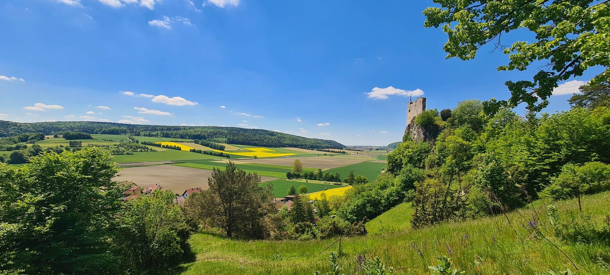
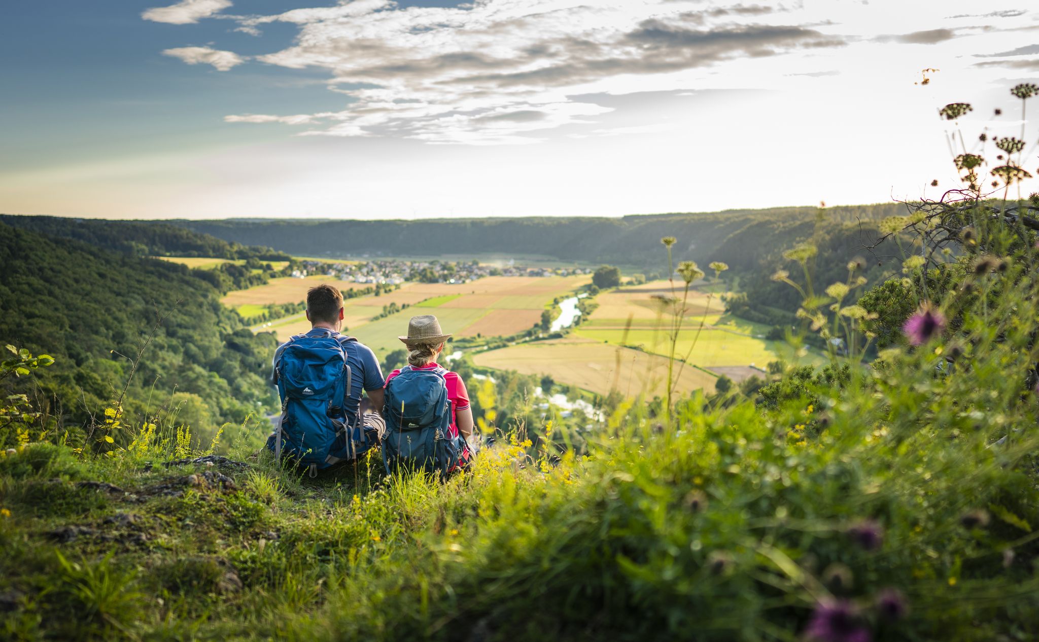
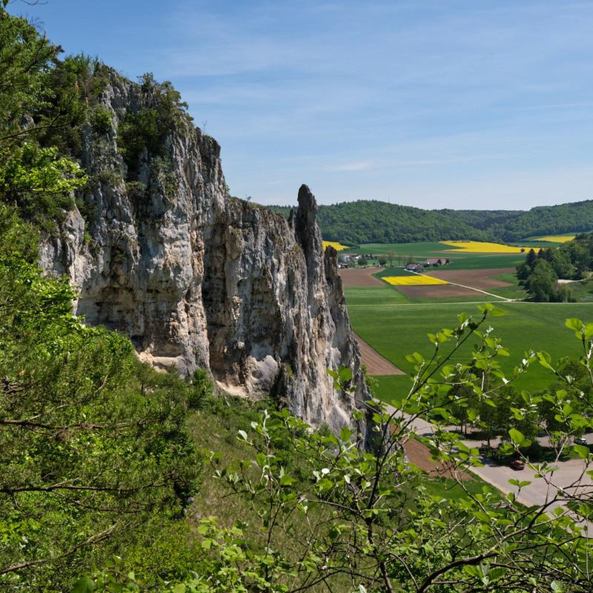
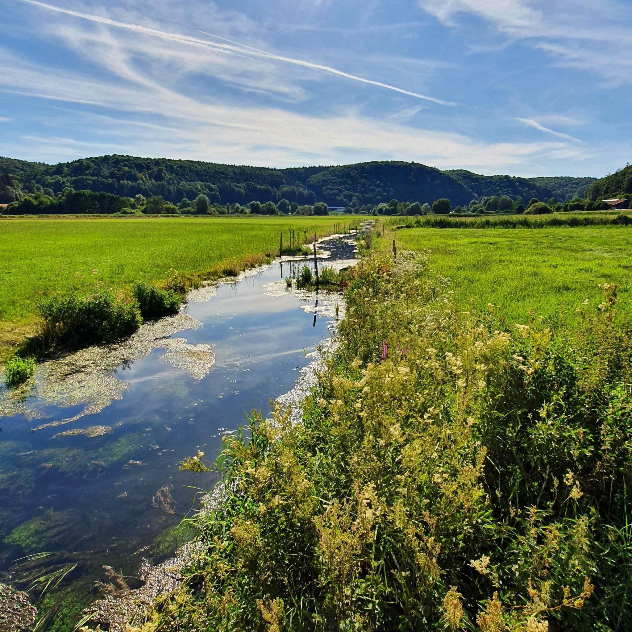
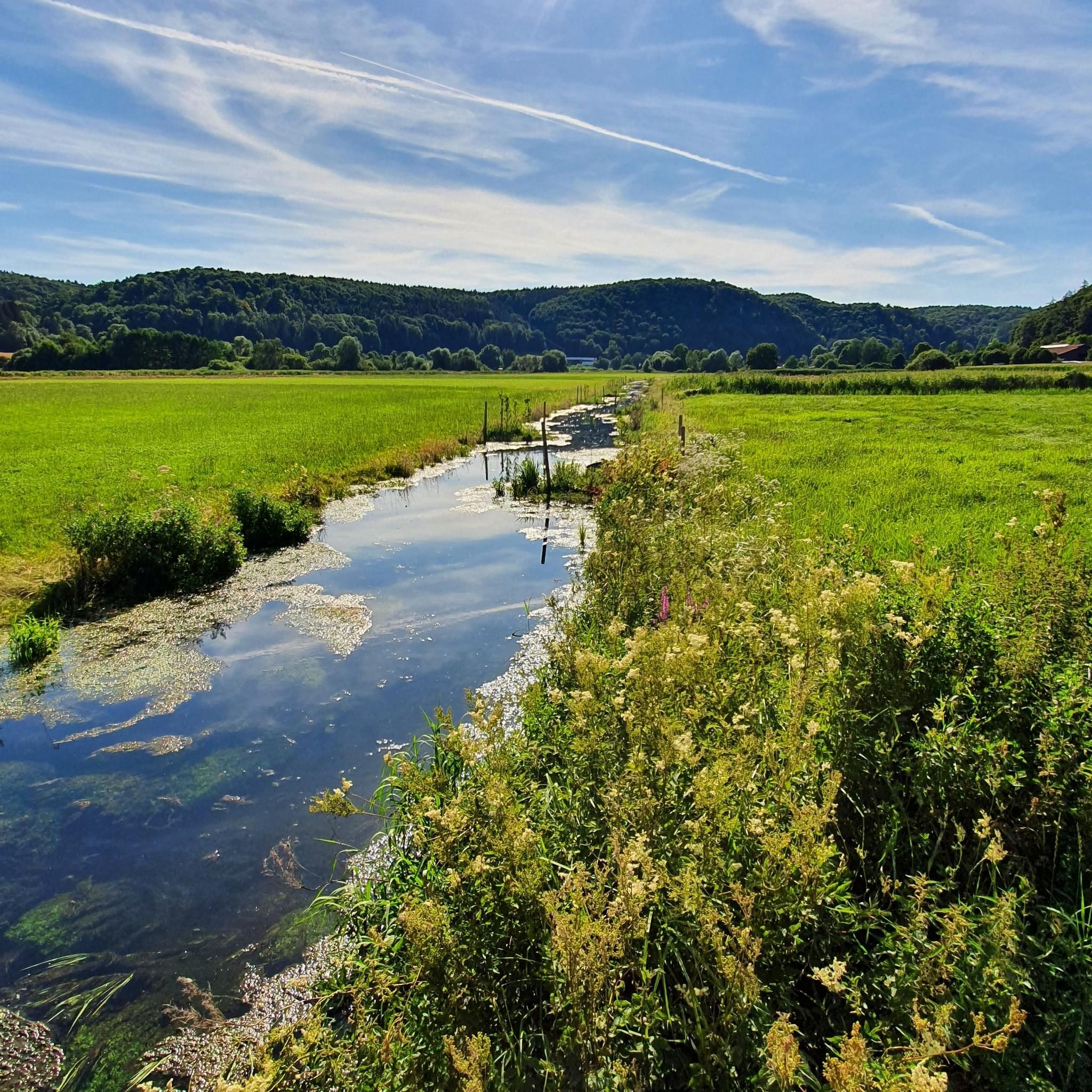
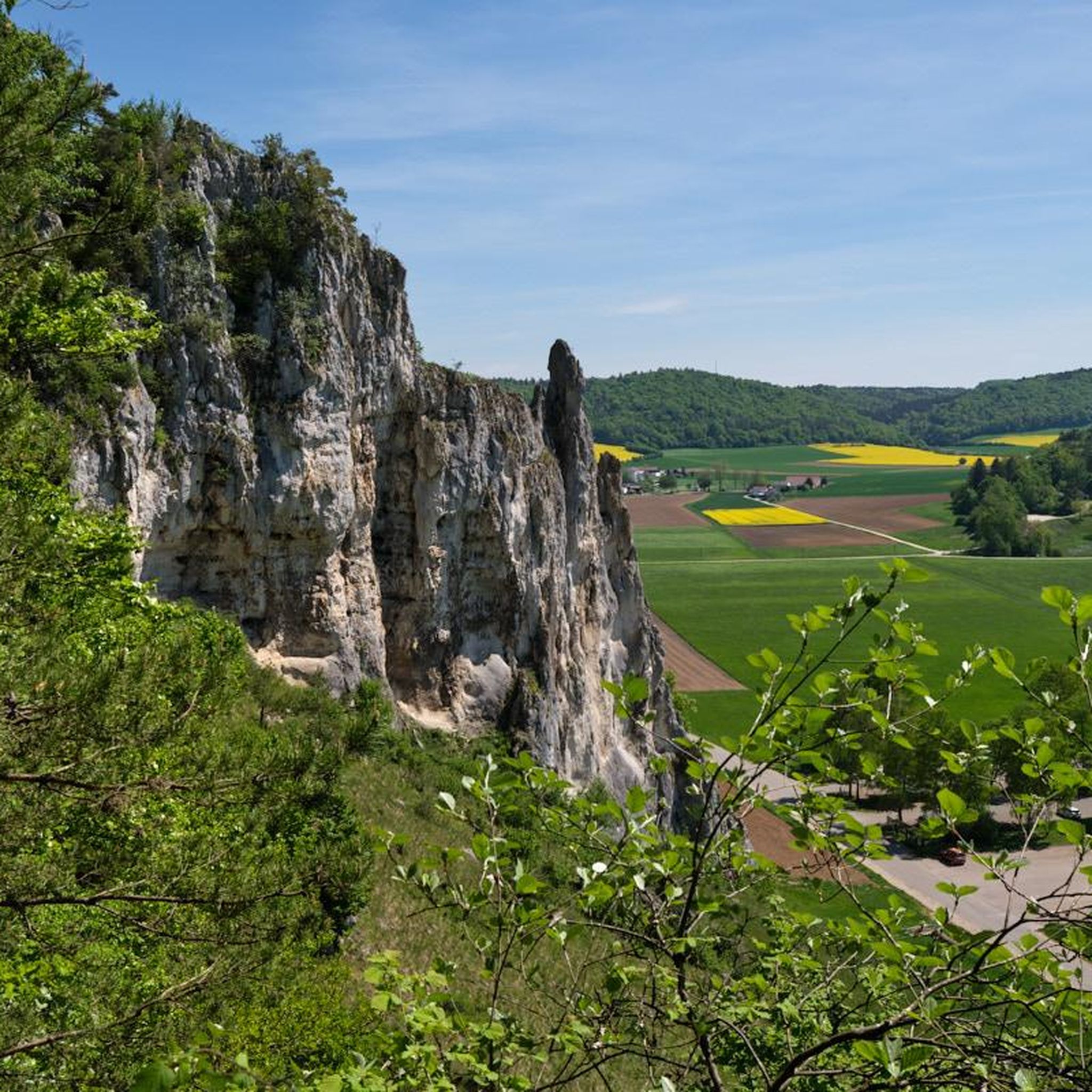
Hiking around Wellheim offers exploration of the ancient Danube valley, known as the Urdonautal, characterized by impressive rock formations that originated as coral and sponge reefs. The small Schutter river flows through this valley, which is nestled amidst Jurassic rocks and mixed forests. This geological history provides a diverse landscape for outdoor activities.
Best hiking trails around Wellheim
- The most popular hiking route is Wellheim Castle Ruins – Dohlenfelsen loop from Wellheim, a 2.8 miles (4.6 km) trail that…
Last updated: October 2, 2026
4.6
(21)
61
hikers
11.0km
03:05
180m
180m
Moderate hike. Good fitness required. Mostly accessible paths. Sure-footedness required.
4.8
(69)
416
hikers
7.04km
02:30
200m
200m
Hard hike. Good fitness required. Sure-footedness, sturdy shoes and alpine experience required.

4.7
(48)
163
hikers
20.3km
06:01
510m
510m
Hard hike. Very good fitness required. Sure-footedness, sturdy shoes and alpine experience required.
4.7
(41)
100
hikers
5.22km
01:33
150m
150m
Easy hike. Great for any fitness level. Easily-accessible paths. Suitable for all skill levels.
5.0
(13)
43
hikers
11.7km
03:12
180m
180m
Moderate hike. Good fitness required. Easily-accessible paths. Suitable for all skill levels.
Get access to more routes and recommendations from other explorers.
Already have an account?
Our route recommendations are based on thousands of hikes, rides, and runs completed by other people on komoot.



Tips from the Community

I entered the "back" part of the Oberlandsteig (blue dot/Klettersteig) at the Kletterzentrum Aicha. To connect to the "front" Konstein section of the Oberlandsteig, a short, crisp ascent to the Merltürme is necessary. Once at the climbing wall, you traverse the notch to the left and you have arrived on the Oberlandsteig coming from Konstein. From there, keep right and follow the blue dots as usual. Unlike the Konstein section of the Klettersteig, things get serious right away here and demand alpine suitability, sure-footedness, and a head for heights from the first step. It has nothing to do with a pleasant Sunday stroll with a few stones, as in the Konstein section. In my opinion, someone who has never been on the rock is in the wrong place here. Especially in the middle section, there is an overhang that needs to be descended in this direction. There are also many quite steep passages that need to be climbed down intuitively. Anyone who has never had to read a route or a rock face will quickly get lost. It's good if you have experienced people in your group for the lead. Alone, it is a challenge in parts. The path itself is superbly laid out, clean, sufficiently marked, and offers, like the Konstein section, grandiose views into the Urdonautal, but largely dispenses with steel cable security. Occasionally you will find bolts and pitons and a 2-3m long steel cable. That's it. The Oberlandsteig in this area is a classic climbing path/climbing route and not a modern iron path. The mountain friend must be aware of this before starting. CONCLUSION: the path is a dream but, unlike the Konstein section, definitely not for beginners. Real alpine experience is actually needed here. Then you can also enjoy the path.
0
0

It's really beautiful here
0
0

Beautiful, imposing church, located right on the road up to the castle.
0
0
Beautiful, well-maintained marketplace with various seating options. A butcher shop and a supermarket are in close proximity.
0
0
Beautiful flat return path after completing the entire Jägersteig. Here you also repeatedly have the opportunity to catch a beautiful view of the Urdonautal valley.
0
0
The only stairs on the Jägersteig. The remaining sections are partially secured with ropes.
0
0

It's worth taking a short break here and enjoying the view!
0
0

Not easy to find in summer/autumn. It's best to walk cross-country from the western trail. Not accessible from the southern trail.
0
0
Frequently Asked Questions
How many hiking trails are available around Wellheim?
Wellheim offers a wide variety of hiking opportunities, with over 130 trails to explore. These range from easy strolls to more challenging routes, ensuring there's something for every fitness level.
What are the typical difficulty levels for hikes in Wellheim?
The trails around Wellheim cater to all abilities. You'll find a good mix of easy, moderate, and difficult routes. For instance, the Wellheim Castle Ruins – Dohlenfelsen loop from Wellheim is an easy option, while the Oberlandsteig Final Section – Dohlenfelsen loop from Konstein presents a more difficult challenge with varied terrain.
What kind of landscapes and natural features can I expect to see while hiking in Wellheim?
Wellheim is nestled in the ancient Danube valley, known as the Urdonautal, characterized by impressive rock formations that originated as coral and sponge reefs. You'll encounter dramatic scenery like the Dohlenfelsen, mixed forests, and the small Schutter river. Many routes offer stunning views of this unique geological landscape, such as the View of the Urdonautal Valley – Beixenhart Rock Arch loop from Wellheim.
Are there any historical sites or landmarks to visit along the trails?
Yes, the region is rich in history. You can explore the ruins of Wellheim Castle, dramatically situated on Jurassic rocks above the market town. The Wellheim Castle Ruins – Dohlenfelsen loop from Wellheim passes directly by this historic site. The Urdonautalsteig also allows hikers to delve into the historical aspects of the ancient Danube valley.
What do other hikers say about the trails in Wellheim?
The hiking routes in Wellheim are highly regarded by the komoot community, boasting an average rating of 4.5 stars from over 500 reviews. Hikers frequently praise the diverse terrain, the impressive rock formations, and the opportunity to experience unspoiled nature.
Are there family-friendly hiking options in Wellheim?
Absolutely. Many trails are suitable for families, offering easier paths with less elevation gain. The Wellheim Castle Ruins – Dohlenfelsen loop from Wellheim is an easy 2.8-mile route that is popular with families, combining natural beauty with historical interest.
Can I bring my dog on the hiking trails in Wellheim?
Yes, many trails in Wellheim are dog-friendly, allowing you to enjoy the natural beauty with your canine companion. It's always recommended to keep dogs on a leash, especially in nature reserves or near wildlife, and to respect local regulations.
Are there circular hiking routes available?
Yes, Wellheim offers numerous circular routes, perfect for day trips. Examples include the Wellheim Castle Ruins – Dohlenfelsen loop from Wellheim and the Kreuzelberg Chapel – Zigeunerloch Rock Formation loop from Wellheim, which allow you to start and end at the same point.
Where can I find parking for trailheads in Wellheim?
Parking facilities are generally available near popular trailheads and in the market town of Wellheim. Specific parking information can often be found on individual route descriptions on komoot or local signage.
Are there any interesting natural attractions or viewpoints along the trails?
Beyond the dramatic Dohlenfelsen rock formations and the Urdonautal valley views, you might encounter other natural highlights. The Schutterquelle (Schutter spring) is a notable point of interest. For more specific natural attractions, you can explore highlights like the Karst Spring Egweil or the Silbersee, which are accessible from various routes.
What is the best time of year to go hiking in Wellheim?
Wellheim's unspoiled landscape makes it an attractive hiking destination throughout much of the year. Spring and autumn offer pleasant temperatures and vibrant scenery, while summer is ideal for longer days. Even in winter, some trails can be enjoyed, though conditions may vary.
Are there places to eat or stay near the hiking areas?
Yes, Wellheim and its surrounding villages offer options for refreshments and accommodation. You can find local cafes and pubs, as well as guesthouses. For specific places to rest or stay, you might find huts like the Naturfreundehaus Konstein or the Aicha Climbing Hut along or near some routes.
Most popular routes around Wellheim
Most popular attractions around Wellheim

Get inspired with the komoot mobile app


Explore more
Browse the best Hikes in other regions.
