The best walks and hikes around Welchweiler
4.5
(2521)
8,512
hikers
666
hikes
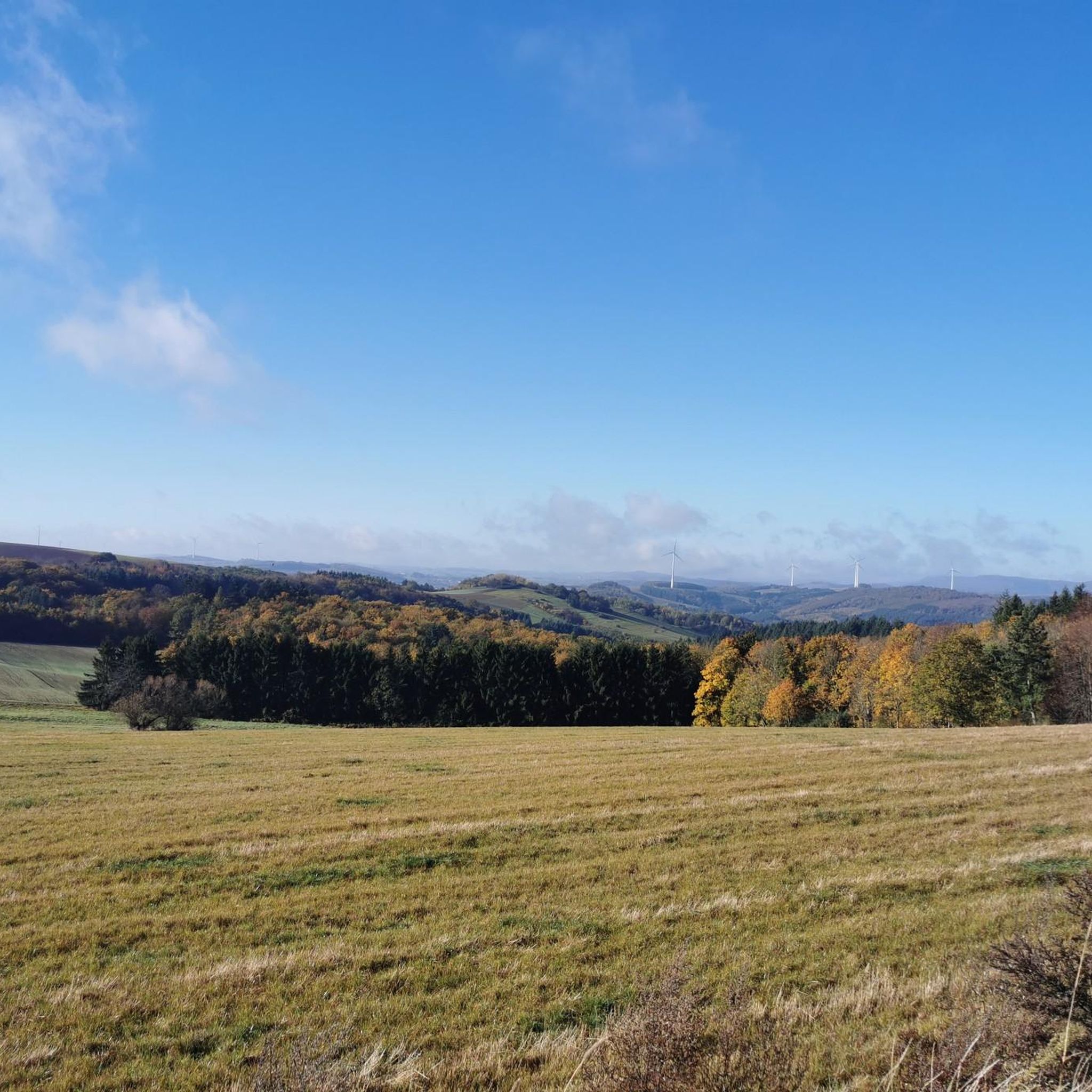
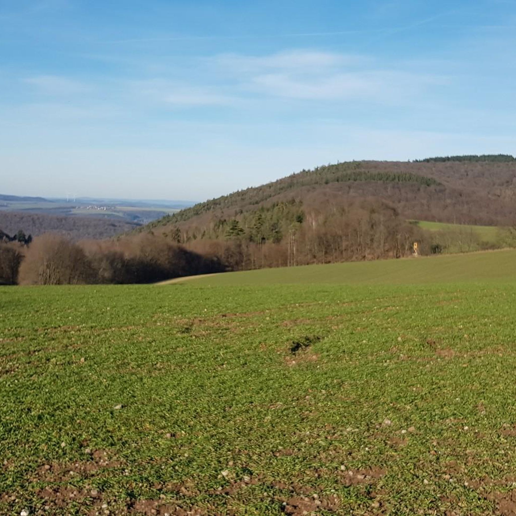
Hiking around Welchweiler offers diverse landscapes, characterized by dense forests, rolling hills, and picturesque river valleys. The region features open pastures and meadows, alongside notable natural elements like striking rock formations. This varied terrain provides a range of hiking experiences.
Best hiking trails around Welchweiler
- The most popular hiking route is Model Airfield Palatinate – View from Sulzberg loop from Welchweiler, a 3.4 miles (5.4 km) trail that takes 1 hour 30 minutes to complete, offering views from Sulzberg. …
Last updated: September 30, 2026
4.6
(11)
38
hikers
Easy hike. Great for any fitness level. Easily-accessible paths. Suitable for all skill levels.
4.4
(7)
10
hikers
10.9km
03:11
310m
310m
Moderate hike. Good fitness required. Easily-accessible paths. Suitable for all skill levels.

5.0
(1)
9
hikers
5.50km
01:30
80m
80m
Easy hike. Great for any fitness level. Easily-accessible paths. Suitable for all skill levels.
4.0
(1)
9
hikers
7.26km
02:05
180m
180m
Moderate hike. Good fitness required. Easily-accessible paths. Suitable for all skill levels.
5.0
(1)
7
hikers
7.21km
02:01
150m
150m
Moderate hike. Good fitness required. Easily-accessible paths. Suitable for all skill levels.
Get access to more routes and recommendations from other explorers.
Already have an account?
Our route recommendations are based on thousands of hikes, rides, and runs completed by other people on komoot.
Start today with a free account
Your next adventure awaits.

Tips from the Community

Many thanks to Klaus-Jürgen for answering my question about the significance of the structure. I found further information here: http://www.essweiler.de/cont3/geschichte/lebensverhaeltnisse-bildung-wirtschaft-und-religion/bergbau/steinbruch-schneeweiderhof
0
0

Basalt was quarried at Scheeweiderhof until the 1960s and 70s. A narrow-gauge railway transported the stones from the mountain station to the valley station at Altenglan train station. The railway was unpowered. The loaded, heavy wagons moved downhill, their weight pulling the empty wagons back up the mountain. This is the only remaining, well-preserved pillar. Further remnants of foundations can be found at regular intervals throughout the forest.
1
0

Artificial flowers, lavender, stone figures, and textured planting – this front yard looks like a lovingly tended natural work of art. A true haven of peace along the roadside. 📸 Tip: Ideal as a breakout scene for reels or to slow down the pace. Also perfect for a "detail slide" on the carousel – calm, harmonious, personal.
0
1
In the middle of the forest's shade, an old dry stone wall suddenly appears – presumably a remnant of the historic Roman road that gives the circular tour its name. 📸 Tip: Shows not only nature, but real history. Ideal for cultural hiking themes, "Lost Places", historical storytelling formats, or information boards about the Roman era.
0
1
A secluded bench with a perfect view over the sunny valley – framed by hills, forest, and small houses with solar roofs. Here, your gaze can simply wander. 📸 Tip: Ideal for themes like "pause," "enjoy the view," "recharge your batteries," or for motivational cards and quotes ("Take time to settle in"). It also works great as a social media post.
0
1
Located in the heart of town, this lovingly designed spot with a bubbling spring, a stone bench, and a view of an old draw well invites you to take a short rest. 📍 Tip: Ideal for refilling your water or simply planning your next section of the trail in peace.
0
1
This charming village fountain made of natural stone babbles in the heart of the village – lovingly framed by flowers and inviting for a short rest. 📍 Tip: The bench behind it offers a perfect spot to start your hike or enjoy a final drink – shady and with a peaceful view of the greenery.
0
1
📝 Two solid wooden benches with a matching table invite you to rest here – perfect for a breakfast break, a snack, or simply to sit and observe. The spot is quiet, offers beautiful views of the landscape, and is clean and well-maintained. 💡 Tip: Ideal for groups or if you want to linger a bit longer – shade is available depending on the time of day.
0
1
Frequently Asked Questions
How many hiking trails are available around Welchweiler?
There are over 680 hiking trails around Welchweiler, offering a wide range of options for all skill levels. You can find everything from easy strolls to more challenging day hikes.
What kind of terrain can I expect when hiking in Welchweiler?
The region around Welchweiler features diverse landscapes, including dense forests, rolling hills, and picturesque river valleys. You'll also encounter open pastures, meadows, and notable natural elements like striking rock formations and gorges, such as the dramatic Teufelsschlucht (Devil's Gorge) mentioned in the broader region.
What are the difficulty levels of hikes in Welchweiler?
Welchweiler offers a variety of trails: over 310 are rated as easy, around 350 are moderate, and about 20 are considered difficult. This ensures there's a suitable route for every hiker, from beginners to experienced trekkers.
Are there any notable natural features or landmarks to see on hikes near Welchweiler?
Yes, the area is rich in natural beauty and historical sites. You can explore striking rock formations like Schuhmacherfelsen, which offers panoramic views, or visit the Königsberg Summit. The region also features several scenic viewpoints such as Selberg Tower, Reuschbacher Heights Viewpoint, and the View from Bermeshöhe. Additionally, you might encounter charming lakes and ponds like Laufhauser Weiher.
Are there family-friendly hiking options in Welchweiler?
Absolutely. With over 310 easy trails, Welchweiler provides many family-friendly options. These routes often feature gentle gradients and shorter distances, perfect for outings with children. Look for trails marked as 'easy' on komoot for suitable choices.
Are dogs allowed on the hiking trails around Welchweiler?
Generally, dogs are welcome on hiking trails in Welchweiler, especially if kept on a leash. It's always a good idea to check specific trail regulations or local signage, particularly in nature reserves, to ensure a pleasant experience for everyone.
Are there circular hiking routes available in Welchweiler?
Yes, many of the trails around Welchweiler are circular, allowing you to start and end at the same point. Examples include the Model Airfield Palatinate – View from Sulzberg loop and the Hub height loop, both starting from Welchweiler.
What is the best time of year to go hiking in Welchweiler?
Welchweiler offers enjoyable hiking experiences throughout much of the year. Spring brings lush greenery and blooming wildflowers, while autumn showcases vibrant fall foliage. Summer is ideal for longer days, and even mild winter days can be pleasant for a crisp walk. The diverse landscapes ensure beauty in every season.
What do other hikers say about the trails in Welchweiler?
The trails in Welchweiler are highly rated by the komoot community, with an average score of 4.6 stars from over 2,200 reviews. Hikers often praise the varied terrain, scenic views, and the well-maintained paths that make exploring the region a rewarding experience.
What are the parking options for hikers in Welchweiler?
While specific parking facilities for every trailhead may vary, Welchweiler and its surrounding villages typically offer local parking areas. It's advisable to check the starting point of your chosen route on komoot for detailed parking information, as many routes begin near accessible village parking.
Is public transport available to reach trailheads in Welchweiler?
Public transport options to reach specific trailheads in Welchweiler can be limited. While regional bus services connect larger towns, direct access to more remote starting points might require a car. For detailed public transport information, it's best to consult local transport schedules for the Welchweiler area.
Where can I find places to eat or stay near the hiking trails?
Welchweiler and its neighboring communities offer various options for refreshments and accommodation. You can find local cafes, pubs, and guesthouses in the villages. Many trails pass through or near these settlements, providing convenient stops for a meal or an overnight stay.
Most popular attractions around Welchweiler

Get inspired with the komoot mobile app


Explore more
Browse the best Hikes in other regions.
