The best walks and hikes around Weitersfeld
4.6
(1062)
5,728
hikers
262
hikes
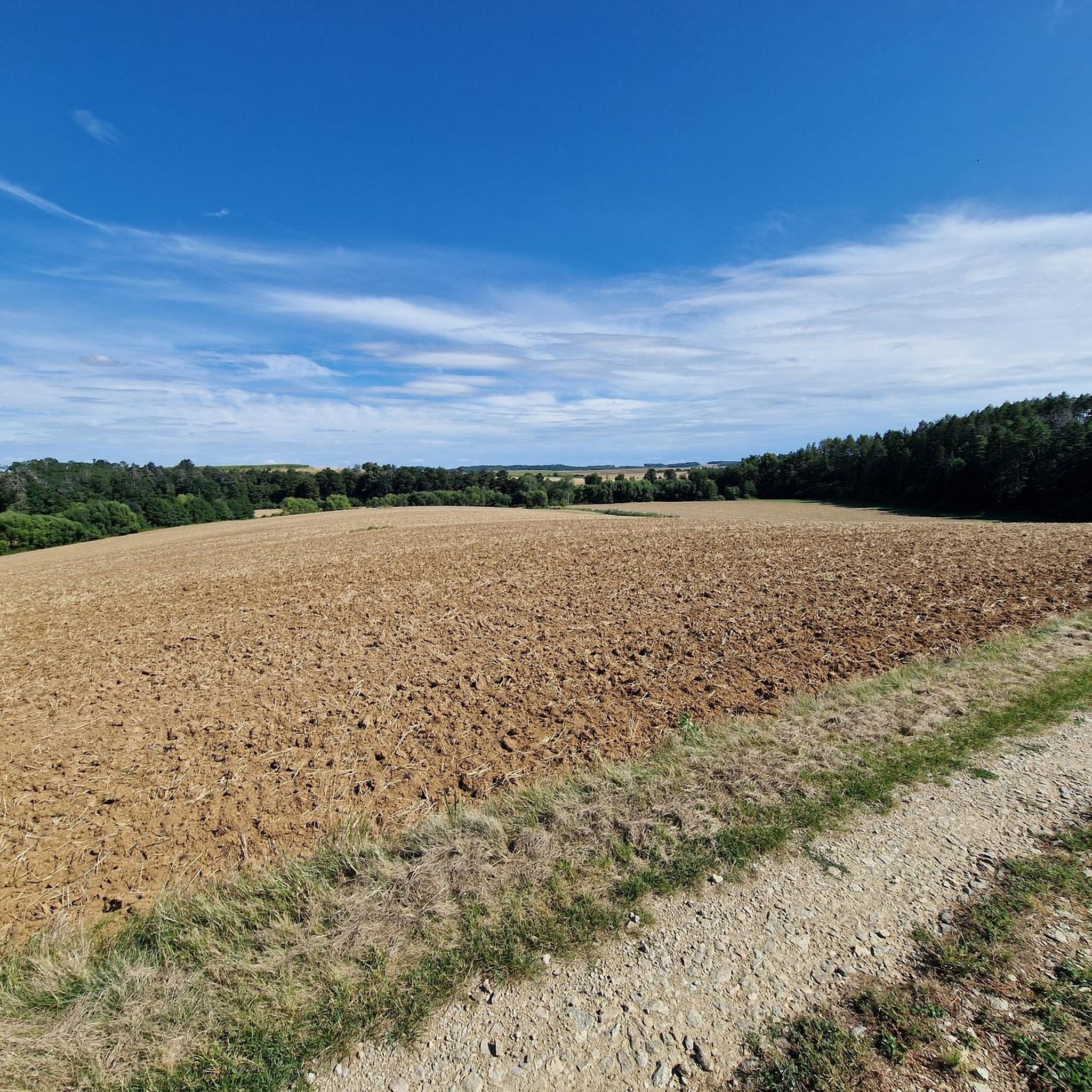
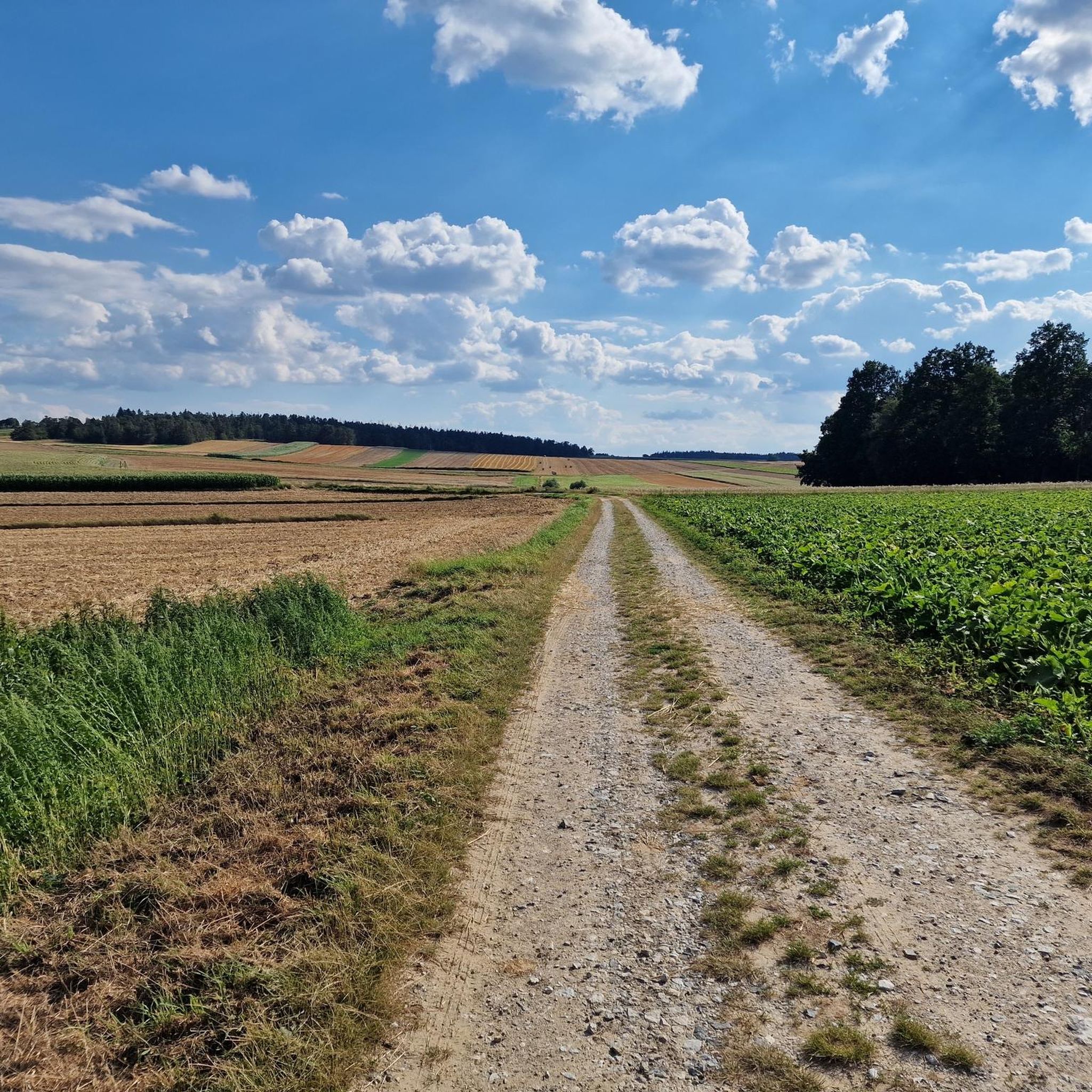
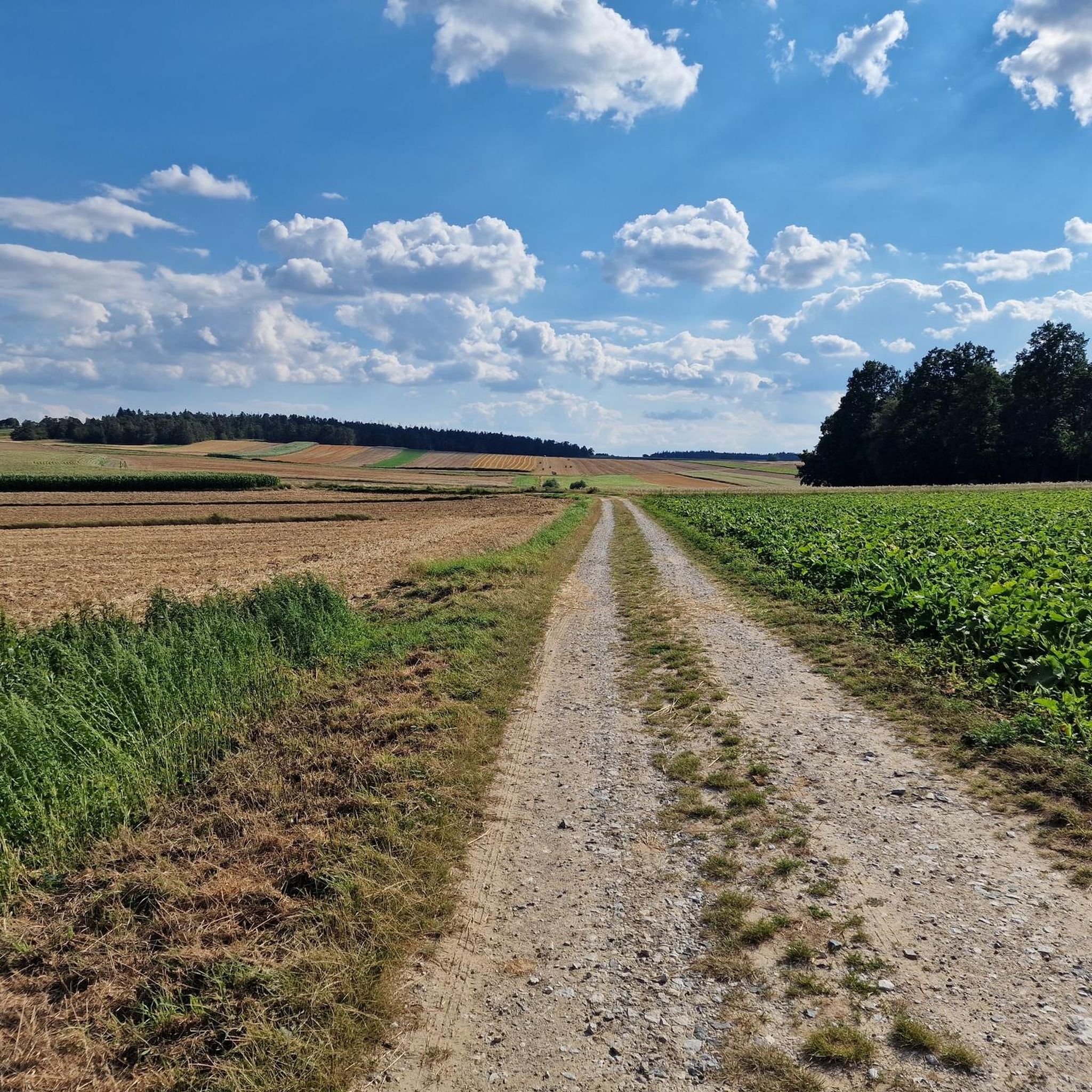
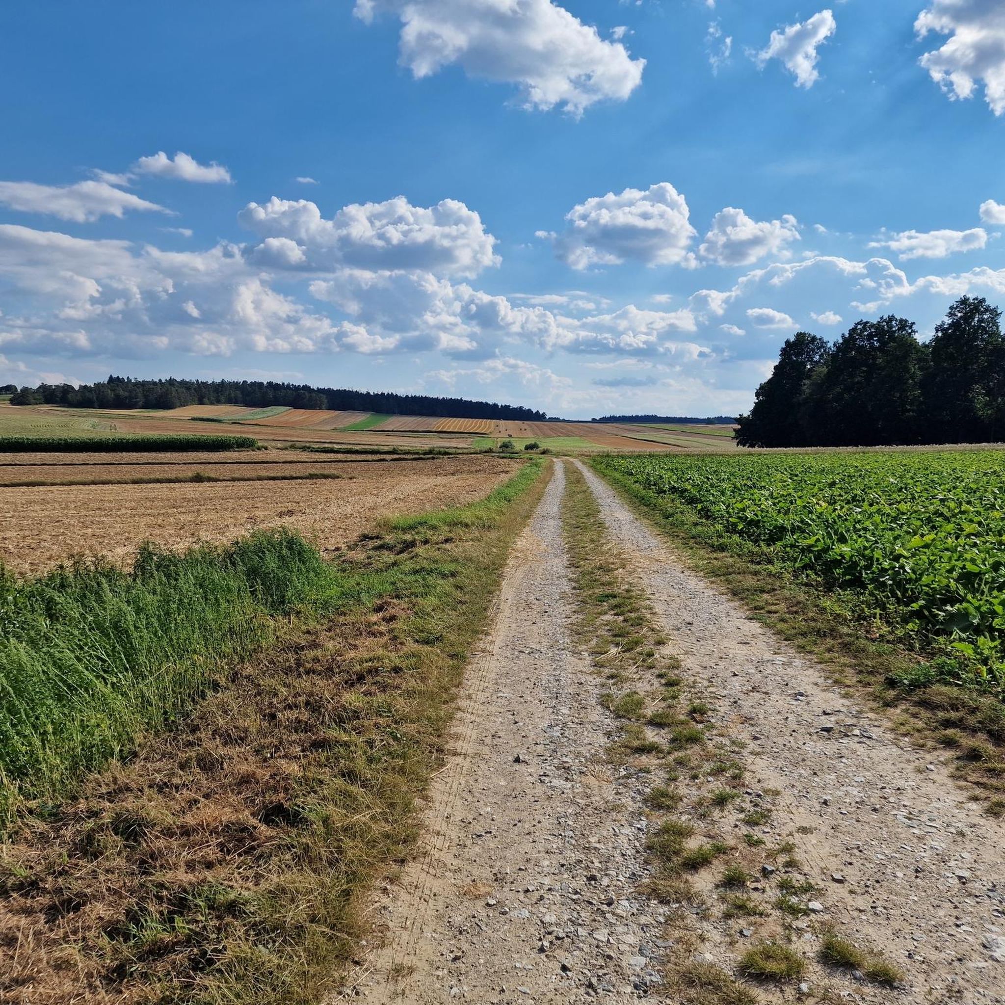
Hiking around Weitersfeld offers diverse landscapes characterized by rolling hills, lush forests, and clear streams within Austria's Horn district. The region encompasses the romantic Thayatal (Thaya river valley), featuring extensive coniferous and deciduous woodlands. As the area borders the Weinviertel, some routes transition to scenery including vineyards and windmills. This varied terrain provides a compelling destination for outdoor enthusiasts.
Best hiking trails around Weitersfeld
- The most popular hiking route is Herb Garden – Geras Abbey loop from Geras, a 7.0 miles (11.3 km) trail that takes 3 hours 0 minutes to complete. This moderate route explores the area around the historic Geras Abbey.
- Another top favourite among local hikers is Retz Windmill – Calvary Hill Retz loop from Katastralgemeinde Hofern, a moderate 6.3 miles (10.2 km) path. This route features landmarks like the Retz Windmill and Calvary Hill, offering views near Retz.
- Local hikers also love the Adrian Zach Memorial Stone – Fenz Cross loop from Geras, a 3.3 miles (5.3 km) trail leading through the local countryside, often completed in about 1 hour 24 minutes.
- Hiking around Weitersfeld is defined by rolling hills, lush forests, and the Thaya river valley. The network offers options for easy, moderate, and difficult routes, catering to various ability levels.
- The routes in Weitersfeld are highly rated by the komoot community with an average score of 4.6 stars from over 900 reviews. More than 5,500 hikers have used komoot to explore Weitersfeld's varied terrain.
Last updated: July 15, 2026
4.8
(9)
32
hikers
11.7km
03:10
140m
140m
Moderate hike. Good fitness required. Easily-accessible paths. Suitable for all skill levels.
3.0
(3)
35
hikers
5.25km
01:25
70m
70m
Easy hike. Great for any fitness level. Easily-accessible paths. Suitable for all skill levels.

Sign up for free
5.0
(1)
11
hikers
6.88km
01:54
110m
110m
Easy hike. Great for any fitness level. Easily-accessible paths. Suitable for all skill levels.
4.8
(4)
10
hikers
10.2km
02:50
190m
190m
Moderate hike. Good fitness required. Easily-accessible paths. Suitable for all skill levels.
5.0
(3)
8
hikers
8.22km
02:21
200m
200m
Moderate hike. Good fitness required. Easily-accessible paths. Suitable for all skill levels.
Get access to more routes and recommendations from other explorers.
Sign up for free
Already have an account?
Our route recommendations are based on thousands of hikes, rides, and runs completed by other people on komoot.
Start today with a free account
Your next adventure awaits.
Login or Signup
Tips from the Community

Field sanctuaries, wayside shrines, crosses or wayside shrines were not only donated and erected for a specific occasion. In ancient times, they also served as signposts in the open countryside. But they were also a visible plea to God during the lifetime of the donors to take special care of the soul in case of death. For example, the Retz chimney sweep Majonelli donated a Calvary. In a contract dated September 15, 1726, he commissioned the Eggenburg sculptor Jakob Seer to create a crucifixion scene. Beyond the contract, Mary and John were created for the crucifixion group.
0
0
The Retz Military Cemetery was established in 1978 by the relocation service of the Volksbund from the districts of Hollabrunn, Mistelbach, and Korneuburg. The burial ground blends harmoniously into the surrounding landscape. The cemetery was consecrated on September 30, 1979. A natural path, accompanied by low-lying flora, leads through an opening in the bounding stone wall to the grounds of the burial site. A granite cobblestone path leads past the high cross to the lower-lying graveyard, interspersed with groups of birch trees. Natural stone crosses made of Waldviertel granite mark the graves of those resting here. The cemetery was handed over to the care of the Austrian Federal Ministry of the Interior as of January 1, 2011.
0
0

The Kümmerl Chapel stands on a country lane that intersects Windmühlgasse on the outskirts of town. It was built in 1896 by master mason Christian Lehninger from Obernalb and faces west. Inscription: 'This chapel was donated in 1896 by Johann Heinrich Maschek and his brother Paulus, both priests. Johann Heinrich Maschek, OSB, was born in Retz in 1832 and celebrated his first Mass in 1858. He was a professor of Greek and Latin at the Schottengymnasium in Vienna. Heinrich died in 1916. Paul Maschek was a secular priest and parish priest in Senning from 1843 to 1930.'
1
0

Crucifixes – that is, wayside crosses, field crosses, or crosses depicting the crucified Christ – can be found not only in villages and towns or in nature, but also in literature. Perhaps the most famous crucifix of this type can be found in the work of Giovanni Guareschi (1908 to 1968). He is the spiritual father of the humorous stories about the two protagonists 'Don Camillo' and 'Peppone'. Guareschi incorporated another main character into his stories – known and popular far beyond Italy's borders –: the crucified Christ, who speaks to Don Camillo from the crucifix on the high altar. The author himself makes the following comment: "So one must explain: If the priests feel offended by Don Camillo, they can smash a candlestick on my skull for all I care; if the communists feel offended by Peppone, they can break a club on my back; but if someone feels offended by Christ's speeches, there's nothing one can do. Whoever speaks in my stories... is my Christ, that is, the voice of my conscience. My personal business, my cause. And therefore: each for himself, and God for all." (G. Guareschi)
0
0
"But perhaps the time is not yet ripe for it (...) so that one day they do not bring misfortune on each other and their peoples. And if they should do so anyway, may the good Lord in his counsel provide that at least afterwards, when the misfortune has already been done to them all, they will find their way to each other and make peace in this world once and for all." writes Otfried Preußler (he preferred to describe himself as a storyteller) in "The Flight to Egypt. Royal Bohemian Part". Although these lines originally refer to the German and Czech inhabitants of the Kingdom of Bohemia, which formerly belonged to the Austro-Hungarian monarchy, their statement is actually both timeless and universal.
0
0

Wonderful view when you climb the 112 steps with 15 landings to the observation platform of the Europawarte.
0
0

The Calvary of Retz shows the suffering and crucifixion of Jesus in various stations of the cross. A contract dated September 15, 1726 obliged Jakob Seer[2], who came from Eggenburg, to complete the crucifixion group, consisting of Jesus Christ, the two thieves, Saint Magdalene, Mary and John, by the beginning of Lent in 1727. It is not known who created the other groups, but they are probably also by Jakob Seer.
3
0

To this day, many have not learned anything 🤨.
2
0
Frequently Asked Questions
How many hiking trails are available around Weitersfeld?
Weitersfeld offers a wide variety of hiking opportunities, with over 270 routes recorded on komoot. These trails cater to all levels, including 131 easy, 122 moderate, and 17 difficult options, ensuring there's a suitable path for every hiker.
What kind of landscapes can I expect to see while hiking in Weitersfeld?
Hiking in Weitersfeld provides diverse scenery, from the lush forests and clear streams of the romantic Thayatal (Thaya river valley) to rolling hills and expansive fields. As the region borders the Weinviertel, some routes may even feature vineyards and windmills, offering a rich tapestry of natural beauty.
Are there any family-friendly hiking trails in Weitersfeld?
Yes, Weitersfeld is a great destination for families. The "Waldmensch" adventure trail in Weitersfeld is specifically designed to engage children and help them learn about the forest in a fun way. For an easy, shorter option, consider the Adrian Zach Memorial Stone – Fenz Cross loop from Geras, which is 5.3 km long.
What are the best times of year to go hiking in Weitersfeld?
The best seasons for hiking in Weitersfeld are generally spring and autumn. During these times, temperatures are mild, and nature is at its most vibrant, with blooming flowers or colorful foliage. If you plan to hike in summer, it's advisable to go in the mornings or evenings to avoid the midday heat.
Are there any long-distance hiking options near Weitersfeld?
Yes, Weitersfeld is integrated into the extensive Eastern Austrian Borderland Trail 07, a major long-distance route spanning approximately 700 to 740 km. This trail offers multi-day hiking experiences with varying difficulty levels for those looking for a longer adventure.
What interesting landmarks or attractions can I discover along the trails?
The region around Weitersfeld is rich in historical and natural landmarks. You can explore the impressive Kaja Castle Ruins, which offer panoramic views, or visit the historic Geras Abbey. Other notable sites include the Oberhöflein Castle and the Moorbad Harbach nature reserve, known for its unique flora and fauna.
Are there any circular hiking routes available?
Yes, many routes around Weitersfeld are circular, allowing you to start and end in the same location. An example is the Herb Garden – Geras Abbey loop from Geras, a moderate 11.3 km trail. Another option is the Hiking loop from Obermarkersdorf, which is 8.2 km long.
What do other hikers say about the trails in Weitersfeld?
The hiking trails in Weitersfeld are highly regarded by the komoot community, with an average rating of 4.6 stars from nearly 1000 reviews. Over 5,500 hikers have explored the area, often praising the well-marked paths, diverse scenery, and the peaceful atmosphere of the Waldviertel region.
Are there any trails that feature vineyards or windmills?
Yes, as the Weitersfeld region borders the Weinviertel, some routes transition into landscapes featuring vineyards and windmills. A notable example is the challenging 45.1 km route from Raabs to Retz, which showcases the romantic Thayatal, forests, Neolithic sites, and the distinctive vineyards and windmills of Retz.
Can I find trails near water bodies or lakes?
While the Thaya river valley is a prominent feature, you can also find trails that lead to or near other water bodies. For instance, the area includes attractions like Angler’s Paradise Hessendorf and the impressive Vranov Dam, which also features a pedestrian suspension bridge.
How challenging are the hikes in Weitersfeld?
Weitersfeld offers a range of difficulties to suit various fitness levels. You'll find 131 easy routes perfect for a leisurely stroll, 122 moderate trails for a more engaging experience, and 17 difficult options for seasoned hikers seeking a challenge. This variety ensures that everyone can find a suitable path.
Are there any specific trails that highlight the Thaya river valley?
Yes, the romantic Thayatal (Thaya river valley) is a central feature of the region. Trails like the Thayatalweg 630 and the Biriweg are excellent choices for exploring this area, offering extensive coniferous and deciduous forests along the river.
Most popular attractions around Weitersfeld

Get inspired with the komoot mobile app


Explore more
Browse the best Hikes in other regions.
