The best walks and hikes around Kirby Cane
4.4
(220)
1,418
hikers
120
hikes
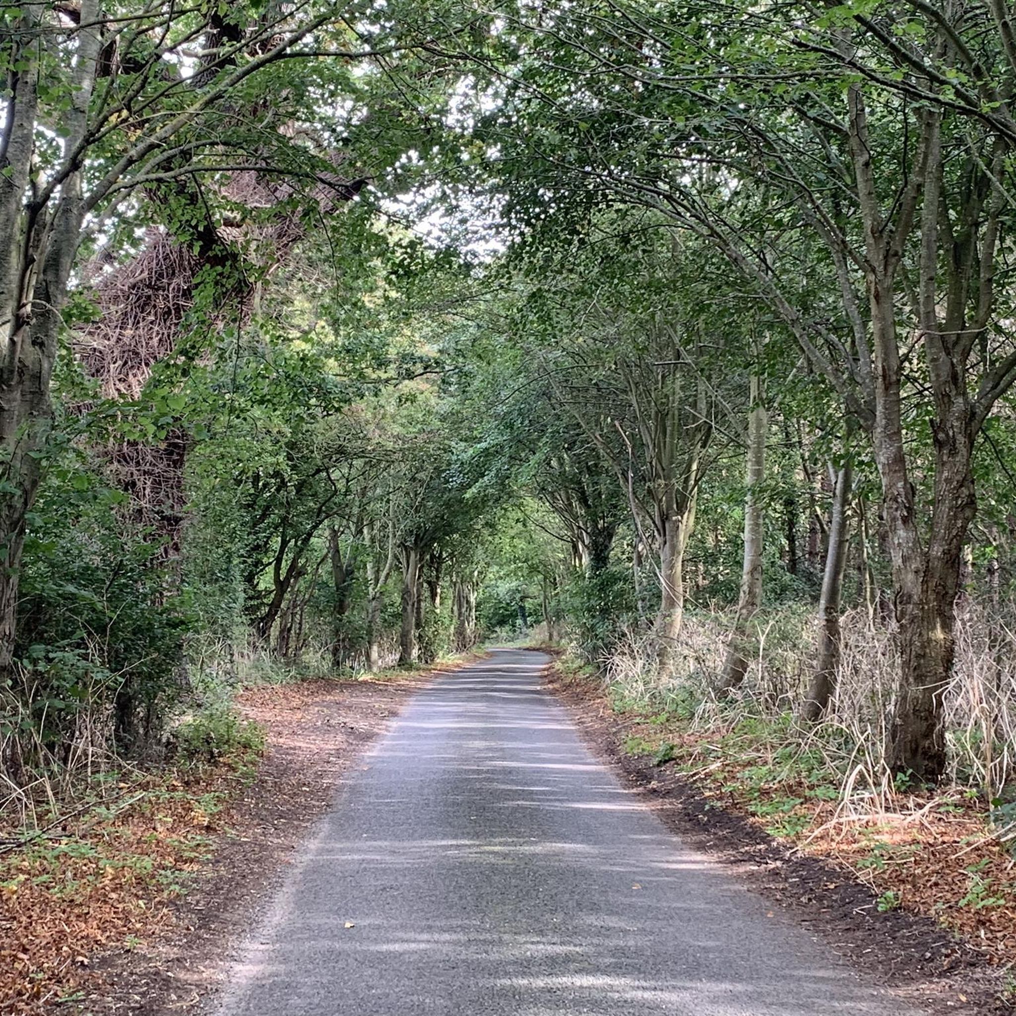
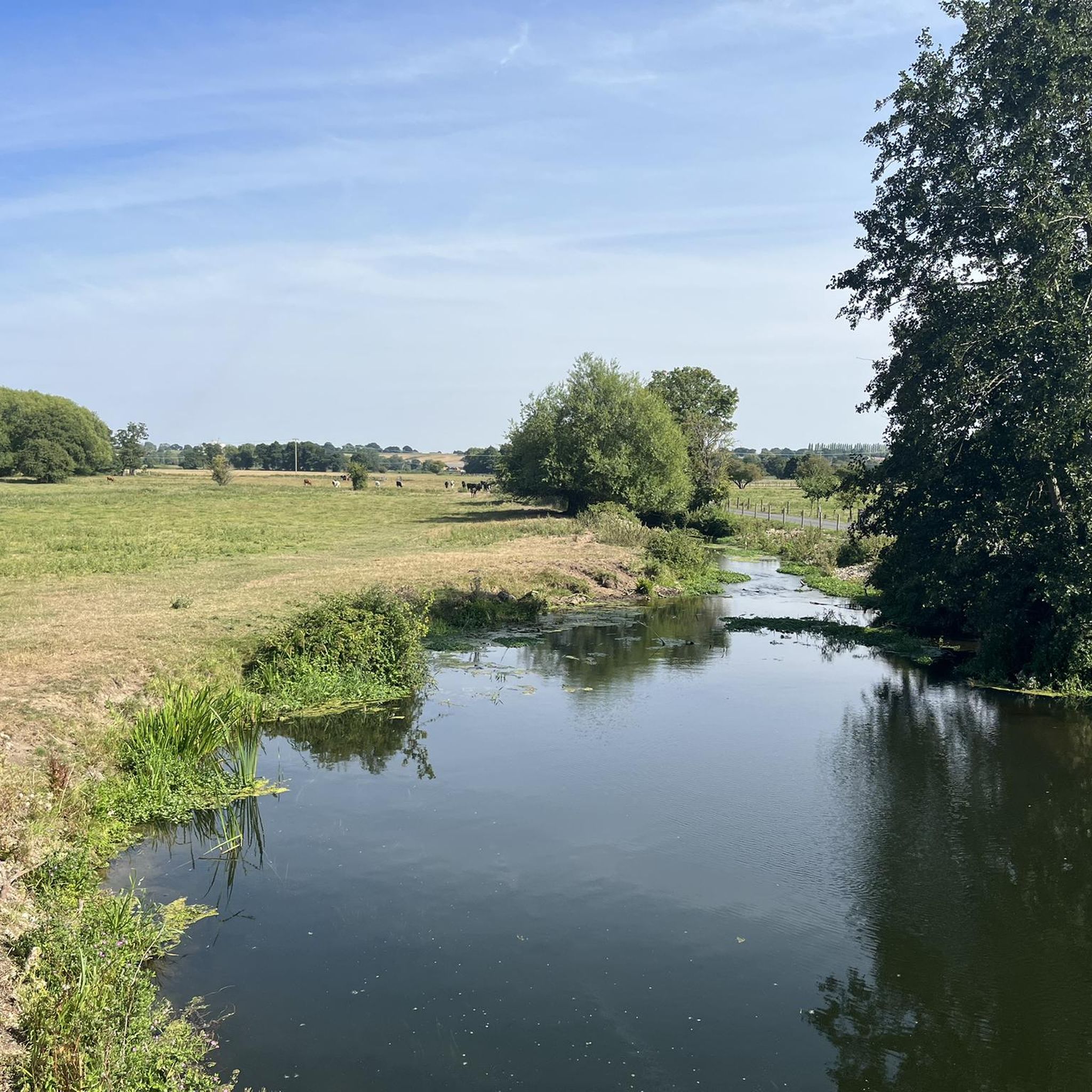
Hikes in and around Kirby Cane explore the South Norfolk countryside, part of the Broads National Park. The region is characterized by its generally flat terrain, with routes following the River Waveney through marshlands and along quiet country lanes. The landscape offers a mix of riverside paths, open fields, and footpaths connecting local villages.
Best hiking trails around Kirby Cane
- The most popular hiking route is Bungay Castle – Bridge Street, Bungay loop from Kirby Cane, an 8.3 mile…
Last updated: May 15, 2026
4.5
(2)
26
hikers
15.7km
04:01
60m
60m
Moderate hike. Good fitness required. Easily-accessible paths. Suitable for all skill levels.
3.0
(1)
14
hikers
Moderate hike. Good fitness required. Easily-accessible paths. Suitable for all skill levels.

Sign up for free
3.0
(1)
15
hikers
Moderate hike. Good fitness required. Easily-accessible paths. Suitable for all skill levels.
4.8
(4)
14
hikers
Moderate hike. Good fitness required. Easily-accessible paths. Suitable for all skill levels.
3.0
(2)
6
hikers
8.86km
02:17
50m
50m
Moderate hike. Good fitness required. Easily-accessible paths. Suitable for all skill levels.
Get access to more routes and recommendations from other explorers.
Sign up for free
Already have an account?
Our route recommendations are based on thousands of hikes, rides, and runs completed by other people on komoot.
Start today with a free account
Your next adventure awaits.
Login or Signup


Tips from the Community

Good cafe. Pickles were an aside. Points of interest. Take it or leave it.
0
0

I'm sure they're great but not really what you'd call ride food.
0
0
Quintessential traditional country pub, in a lovely village setting with a nice pub garden behind and some more seating to the front.
0
0
Scenic crossing of the Waveney between Norfolk and Suffolk.
0
0
Nice views of the cruisers on the Waveney although the road pinches as it crosses the bridge so you can't stop to admire them.
0
0

One of the few remaining Anglo-Saxon churches with round towers
0
0

Chedgrave common occupies the northern bank of the River Chet to the east of Chedgrave village. It's a tranquil place for a stroll and is home to various plant species. The early marsh orchid is a particularly beautiful sight when it flowers in May and June.
0
0
Of the Broad's six rivers, the Chet is the smallest and is navigable for just 3.5 miles (5.5 km). It's a tributary of the great River Yare, which it joins to the west of Reedham. The Chet flows between the market town of Loddon and the village of Chedgrave, beyond which is Hardley Flood, an expanse of tidal lagoons and reedbeds that provides an important habitat for nesting birds.
0
0
Frequently Asked Questions
What is the terrain like for hiking around Kirby Cane?
The hiking terrain around Kirby Cane is typical of the Norfolk Broads, meaning it's mostly flat and accessible. You'll encounter a mix of riverside paths along the River Waveney, quiet country lanes, and well-maintained footpaths through sprawling marshlands and open fields. This makes the area suitable for a wide range of fitness levels.
Are there any good circular walks starting near Kirby Cane?
Yes, the area is excellent for circular hikes. A great option that includes some local history is the Bungay Castle – Bridge Street, Bungay loop from Kirby Cane. This route takes you through the countryside and past the historic ruins of Bungay Castle.
Can I take my dog on the trails?
Most footpaths in the countryside are dog-friendly, but it's always best to keep them on a lead, especially near livestock or wildlife. For a place where your dog can run freely off-lead, you could visit Norfolk Run Free, a dedicated dog park in Kirby Cane.
Are there any family-friendly hikes in the area?
The flat terrain makes many routes suitable for families. For an easy-going and scenic walk, consider the Beccles Quay – Beccles Old Bridge loop from Geldeston. It follows the river and offers plenty of open space for a relaxed family outing.
What do other hikers think of the routes around Kirby Cane?
The trails are highly regarded by the komoot community, with an average rating of over 4.4 stars. Hikers often praise the peaceful riverside scenery, the well-marked paths through the Broads, and the abundance of wildlife.
Are there any pub walks in the area?
Yes, combining a walk with a pub stop is a popular activity here. A fantastic choice is The Wherry Inn – The Locks Inn at Geldeston loop from Geldeston, which conveniently starts and ends near a pub and passes another historic inn along the River Waveney.
What kind of scenery and wildlife can I expect to see?
The landscape is defined by classic Norfolk Broads scenery: gentle rivers, expansive marshlands, and quiet farmland. A route like the Beccles Quay – Barsham Marshes loop from Geldeston is perfect for experiencing this environment. Keep an eye out for wading birds, waterfowl, and other marshland wildlife.
Are there any long-distance footpaths that pass near Kirby Cane?
Yes, the region is crossed by several notable long-distance trails. You can walk sections of the Angles Way, which follows the River Waveney, or Boudica's Way, which runs between Norwich and Diss. The Wherryman's Way along the River Yare is also accessible from the area.
Where can I find good views on a hike?
While the region is mostly flat, the nearby Bath Hills offer some of the best panoramic views of the Waveney Valley. Several local walking routes incorporate an ascent of these historic hills, providing a rewarding perspective of the surrounding countryside.
What historical sites can I see while hiking?
The area is rich in history. Many walks pass by historic round-tower churches, like the one in Kirby Cane itself. You can also see the ruins of the 12th-century Bungay Castle and the charming, historic Geldeston Lock on the River Waveney.
Where is a good place to park for a walk?
For many circular routes, it's best to park in the towns or villages where they begin, such as Bungay, Beccles, or Geldeston. These locations typically have public car parks or on-street parking available, especially near trailheads or pubs like The Wherry Inn, which is the starting point for the The Wherry Inn loop from Geldeston.
Most popular attractions around Kirby Cane

Get inspired with the komoot mobile app


Explore more
Browse the best Hikes in other regions.
