The best MTB trails around Weißenkirchen in der Wachau
4.5
(56)
254
riders
17
rides
Mountain biking around Weißenkirchen in der Wachau offers diverse terrain within a UNESCO World Heritage site. The region features the Danube River winding through terraced vineyards and rolling hills, providing a scenic backdrop for rides. Extensive elevation gains are common, with trails traversing forests and the foothills of the Waldviertel plateau. The landscape is characterized by its viticultural areas and riverine paths.
Best mountain bike trails around Weißenkirchen in der Wachau
- The most popular mountain bike trail is Wösendorf Vineyards – Red Gate loop from Weißenkirchen i.d. Wachau, a 13.1 miles (21.1 km) trail that takes 1 hour 54 minutes to complete, offering views of the Danube and surrounding vineyards.
- Another top favourite among local mountain bikers is St. Michael’s Fortified Church – Arnsdorf–Spitz ferry loop from Weißenkirchen i.d. Wachau, a moderate 22.4 miles (36.0 km) path. This route includes historical landmarks and river crossings, showcasing the region's cultural and natural features.
- Local mountain bikers also love the Weißenkirchen – Wachau Vineyards Route loop from Weißenkirchen i.d. Wachau, a 17.1 miles (27.5 km) trail leading through the Wachau Vineyards, often completed in about 2 hours 41 minutes.
- Mountain biking around Weißenkirchen in der Wachau is defined by terraced vineyards, the Danube River, and rolling hills. The network offers options for different ability levels, from moderate to difficult, with significant elevation changes.
- The routes in Weißenkirchen in der Wachau are highly rated by the komoot community with an average score of 4.6 stars from over 40 reviews. More than 200 mountain bikers have used komoot to explore Weißenkirchen in der Wachau's varied terrain.
Last updated: October 5, 2026
4.6
(20)
69
riders
Moderate mountain bike ride. Good fitness required. Advanced riding skills necessary.
4.4
(10)
55
riders
Moderate mountain bike ride. Good fitness required. Advanced riding skills necessary.

4.2
(6)
12
riders
Moderate mountain bike ride. Good fitness required. Advanced riding skills necessary.
4.8
(4)
20
riders
Moderate mountain bike ride. Good fitness required. Suitable for all skill levels.
4.3
(3)
23
riders
44.9km
03:28
870m
870m
Moderate mountain bike ride. Good fitness required. Suitable for all skill levels.
Get access to more routes and recommendations from other explorers.
Already have an account?
Our route recommendations are based on thousands of hikes, rides, and runs completed by other people on komoot.
Start today with a free account
Your next adventure awaits.
Popular around Weißenkirchen in der Wachau
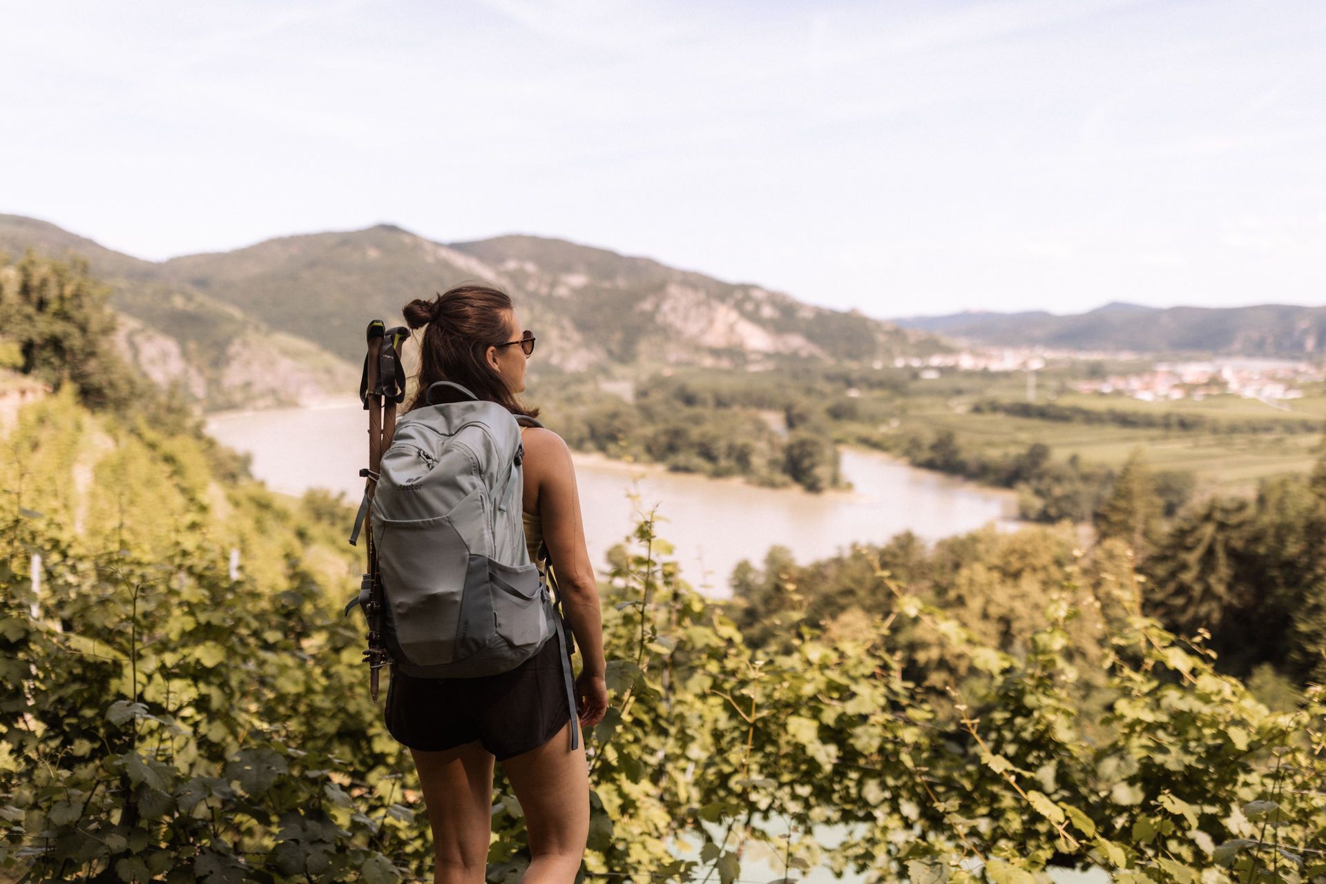
Wachau World Heritage Trail – Danube Valley and Wachau wine country
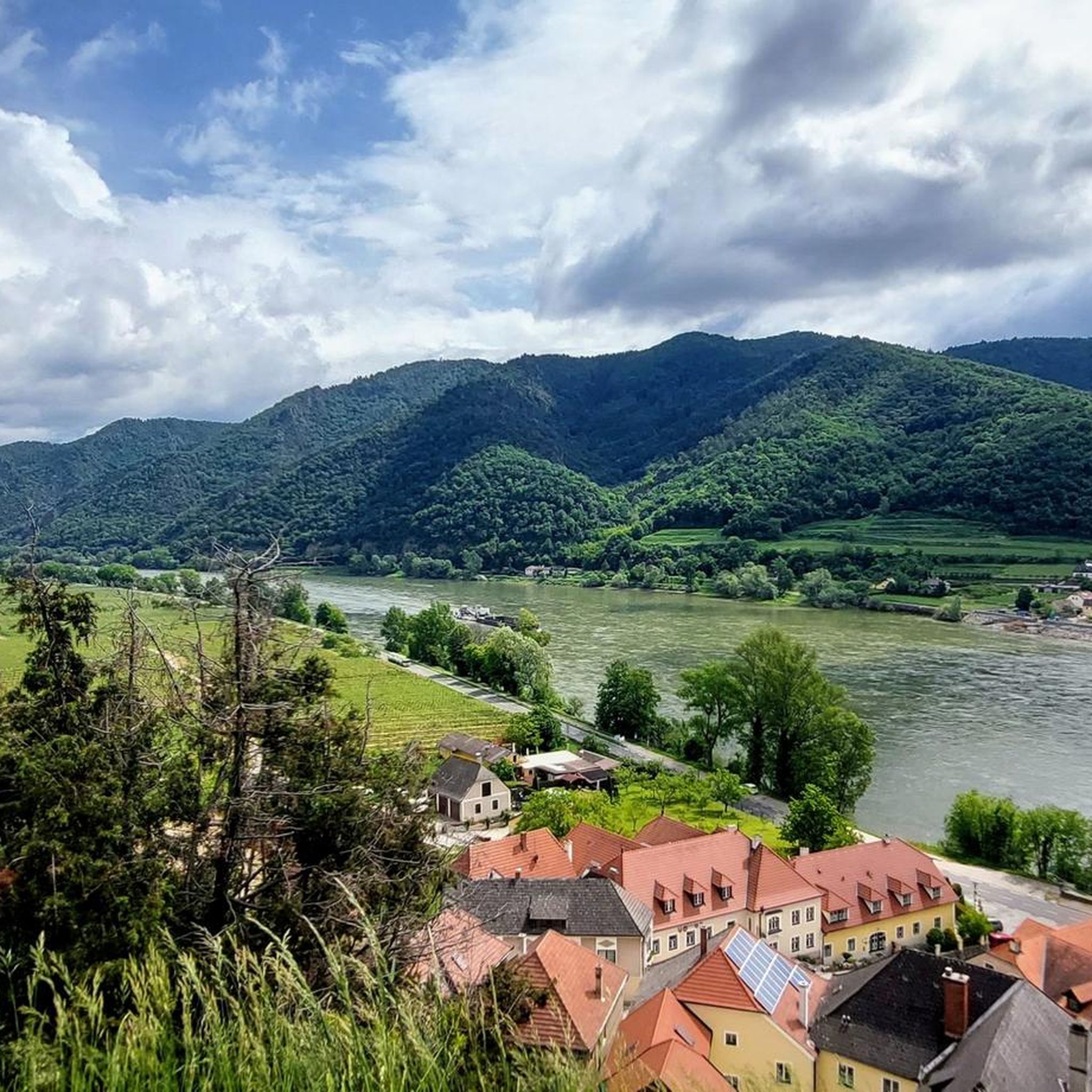
Hiking around Weißenkirchen in der Wachau
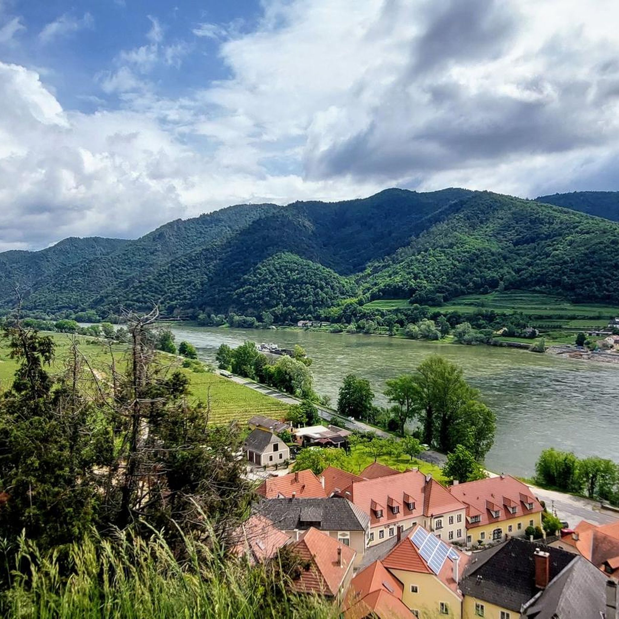
Cycling around Weißenkirchen in der Wachau
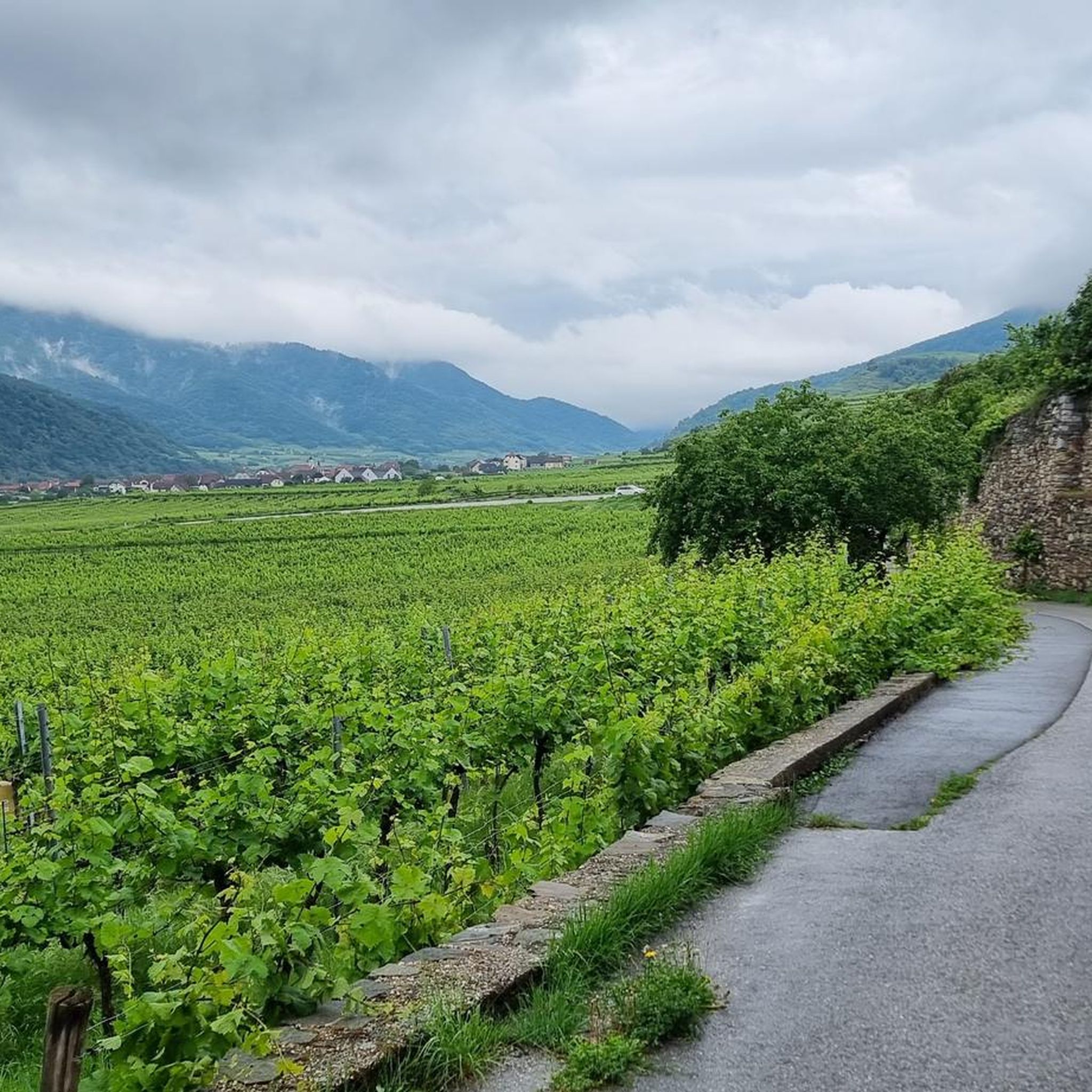
Road Cycling Routes around Weißenkirchen in der Wachau
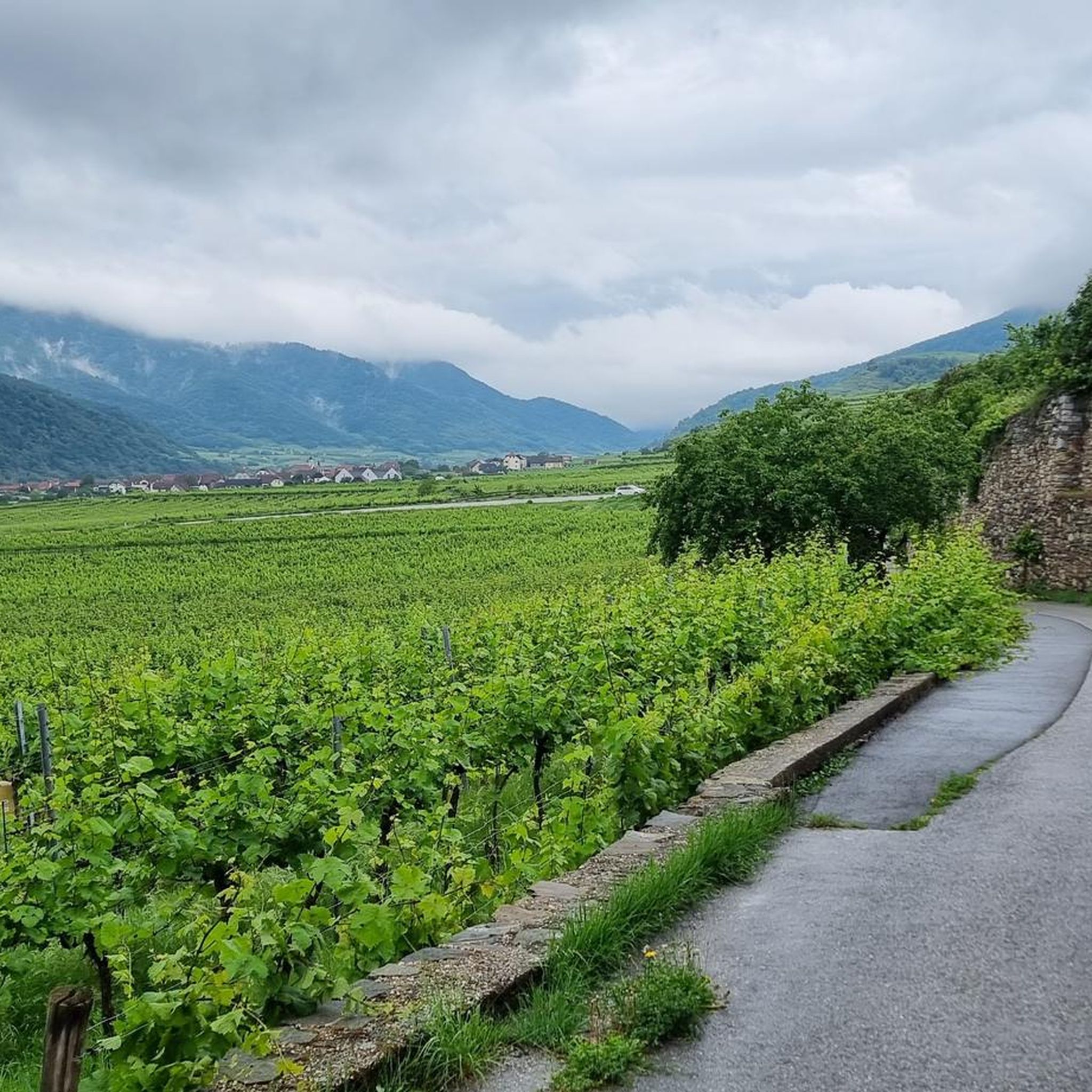
Running Trails around Weißenkirchen in der Wachau
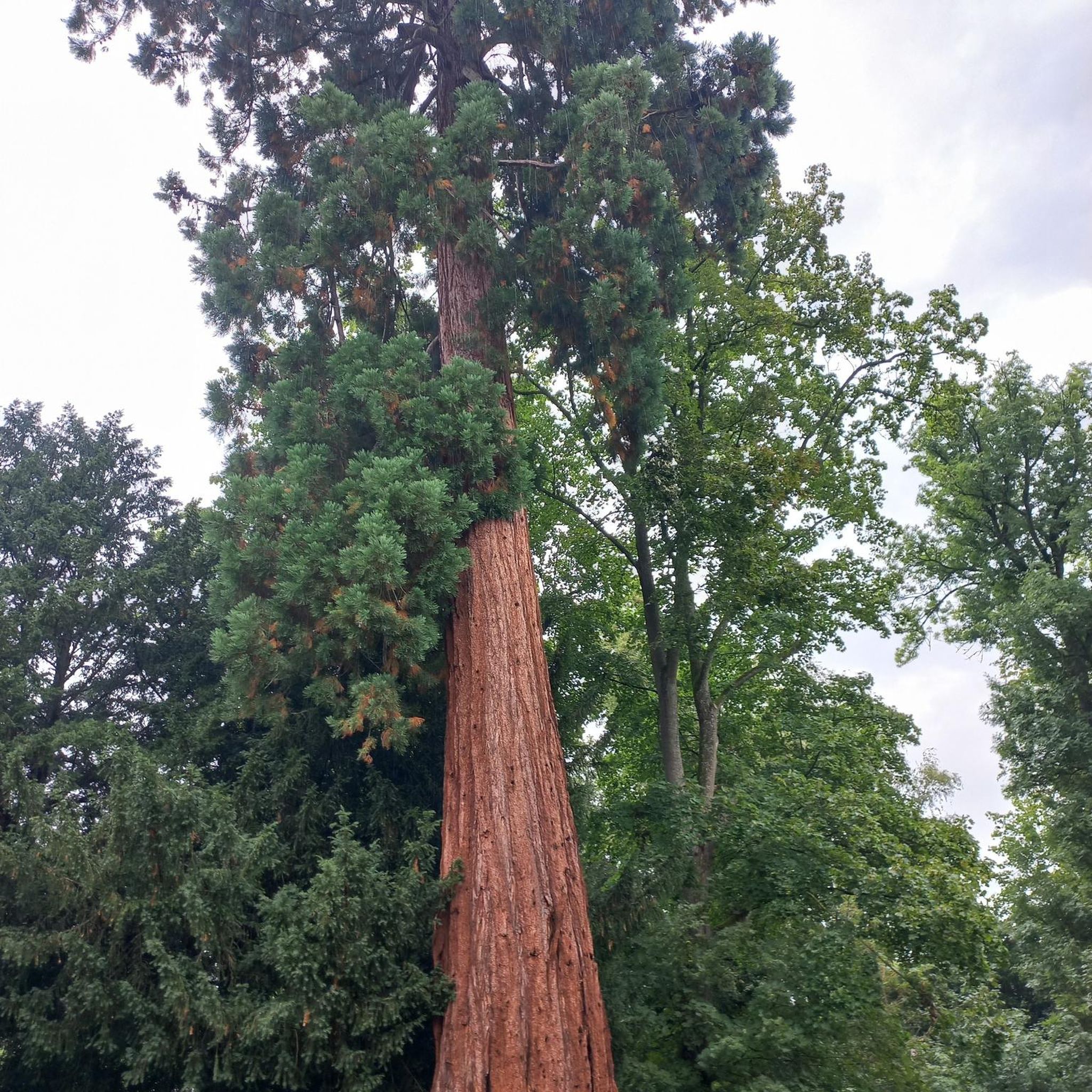
Gravel biking around Weißenkirchen in der Wachau
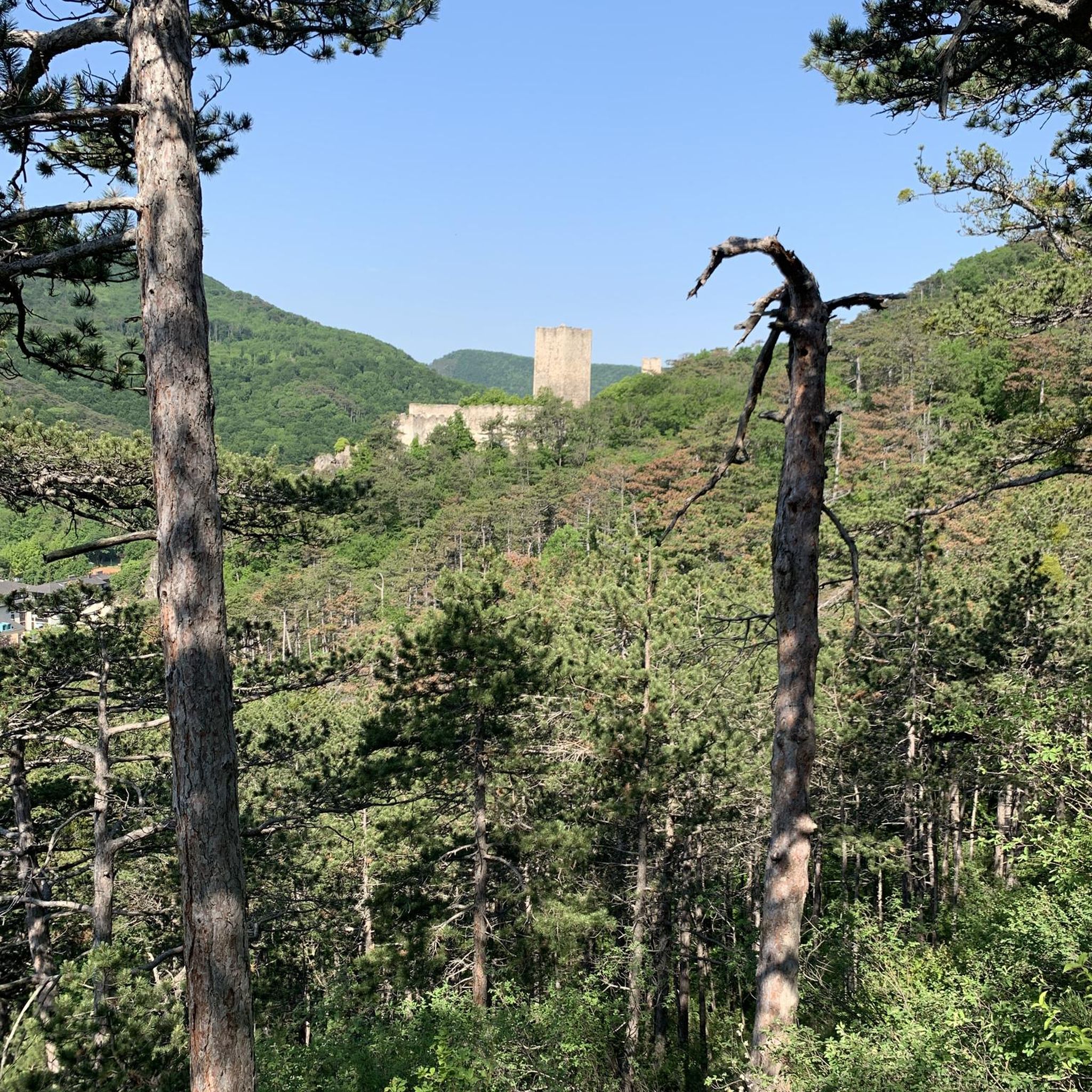
Mountain Hikes around Weißenkirchen in der Wachau
Other adventures around Weißenkirchen in der Wachau

Tips from the Community

The Franzosendenkmal commemorates the victory of the Austro-Russian troops and was erected in 1905. As part of the Third Coalition War, on November 11, 1805, allied Russian and Austrian troops inflicted a devastating defeat on the French army in the plain around Loiben.
0
0

some beautiful hiking opportunities through the vineyards
0
0
nice connection to the other bank of the Danube
0
0
Rollfähre Spitz-Arnsdorf The Rollfähre connects the towns of Spitz and Arnsdorf by water. The ferry, consisting of two interconnected ship hulls, has a load capacity of 20 t (bridge load alone 10 t) and transports both people and motor vehicles. The substructure of the loading deck is made of steel, while the superstructures are made of wood. The catamaran design ensures good stability. The ferry is held by a 485 m long carrying cable, which is stretched across the Danube and anchored to the banks in sturdy towers. The ferry and the carrying cable are connected by a so-called yaw rope. No costly energy is required for propulsion; only the river current of the Danube is utilized. The Rollfähre has a four-person crew, working in pairs. Since 2004, an art object by the Icelandic artist Olafur Eliasson has been installed on the ferry.
0
0
Very beautiful place with a very interesting fortified church.
0
0
The vineyards are largely terraced here. That's why it looks so good.
0
0

wonderful cycling route with fantastic landscape
0
0
Beautiful cycling route with fantastic scenery
1
0
Frequently Asked Questions
How many mountain bike trails are there in Weißenkirchen in der Wachau?
Weißenkirchen in der Wachau offers a diverse network of 17 mountain bike trails. These routes cater to various skill levels, with 11 moderate and 6 difficult options, ensuring a suitable challenge for most riders.
What kind of terrain can I expect on mountain bike trails in Weißenkirchen in der Wachau?
The terrain is characterized by its UNESCO World Heritage status, featuring the Danube River winding through terraced vineyards and rolling hills. You'll encounter significant elevation gains as trails traverse forests and the foothills of the Waldviertel plateau, offering a mix of natural beauty and challenging climbs.
Are there mountain bike trails suitable for beginners in Weißenkirchen in der Wachau?
While the region is known for its moderate to difficult trails with significant elevation changes, electric bikes are a popular option to make the hilly terrain more accessible. For those new to mountain biking, routes with lower elevation gains or shorter distances might be a good starting point, though dedicated 'easy' trails (S0-S1) are less common among the listed routes.
Are there mountain bike trails that offer views of the Danube River and vineyards?
Absolutely. Many trails wind through the terraced vineyards and along the Danube. For example, the Wösendorf Vineyards – Red Gate loop from Weißenkirchen i.d. Wachau offers stunning views of the Danube and surrounding vineyards. The Weißenkirchen – Wachau Vineyards Route loop from Weißenkirchen i.d. Wachau also leads directly through the picturesque Wachau Vineyards.
What are some notable landmarks or attractions I can see while mountain biking?
The region is rich in cultural and natural attractions. You might pass by the stunning Gothic St. Michael’s Fortified Church, or enjoy panoramic views from spots like the Dürnstein Pulpit or the Danube Lookout on Braunsdorfer Hill. The Danube Valley in the Wachau itself is a major highlight.
Are there any circular mountain bike routes available?
Yes, many of the mountain bike routes in Weißenkirchen in der Wachau are designed as loops. Examples include the Wösendorf Vineyards – Red Gate loop, the St. Michael’s Fortified Church – Arnsdorf–Spitz ferry loop, and the Weißenkirchen in the Wachau – Weißenkirchen loop, allowing you to start and end in the same location.
What is the best time of year for mountain biking in Weißenkirchen in der Wachau?
The Wachau region is beautiful year-round, but spring (for apricot blossoms) and autumn (for grape harvest and vibrant foliage) offer particularly scenic rides. Summer is also popular, though trails can be busier. Winter conditions might make some trails challenging due to snow or ice, especially at higher elevations.
Is it possible to reach mountain bike trailheads using public transport?
Weißenkirchen in der Wachau is connected to the popular Danube Cycle Path (Donauradweg), which can be accessed via public transport options like trains and buses that run along the Danube. This allows for connections to nearby towns and access points for various routes.
Where can I park my car when going mountain biking in Weißenkirchen in der Wachau?
Weißenkirchen in der Wachau, being a popular tourist destination, offers various parking options within the village. Many trailheads are accessible from the village center, where public parking is typically available. It's advisable to check local signage for specific parking regulations and fees.
What do other mountain bikers say about the trails in Weißenkirchen in der Wachau?
The mountain bike routes in Weißenkirchen in der Wachau are highly rated by the komoot community, with an average score of 4.6 stars from over 40 reviews. Riders often praise the diverse terrain, the stunning vineyard and river views, and the well-integrated cultural landmarks along the routes.
Are there options for e-biking in the Wachau region?
Yes, e-bikes are a popular option in the Wachau. The region's hilly terrain and significant elevation gains make e-bikes an excellent choice for riders who want to cover more ground or prefer assistance on climbs, making the trails accessible to a wider range of fitness levels.
How long do mountain bike trails typically take to complete?
Trail durations vary depending on distance and elevation. For instance, the Wösendorf Vineyards – Red Gate loop is about 13.1 miles (21.1 km) and takes approximately 1 hour 54 minutes. Longer routes like the Wösendorf Vineyards – St. Michael’s Fortified Church loop, at 20.7 miles (33.4 km), typically take around 2 hours 34 minutes.
Most popular routes around Weißenkirchen in der Wachau
Most popular attractions around Weißenkirchen in der Wachau

Get inspired with the komoot mobile app


Explore more
Browse the best MTB trails in other regions.
