The best road cycling routes around Thoroton
4.5
(74)
4,560
riders
163
rides
Road cycling routes around Thoroton are set within the flat, open countryside of the South Nottinghamshire Farmlands, characterized by large arable fields and hedgerows. The area lies along the western banks of the River Smite, contributing to a tranquil, agricultural scenery. A network of country lanes connects Thoroton with neighboring villages, offering accessible conditions for road cyclists. The terrain is generally flat, making it suitable for various cycling abilities.
Best road cycling routes around Thoroton
- The most popular road cycling…
Last updated: October 8, 2026
46
riders
54.9km
02:23
340m
340m
Moderate road ride. Good fitness required. Mostly well-paved surfaces and easy to ride.
5.0
(1)
45
riders
103km
04:41
760m
760m
Moderate road ride. Good fitness required. Mostly well-paved surfaces and easy to ride.

27
riders
43.3km
01:39
110m
110m
Easy road ride. Great for any fitness level. Mostly well-paved surfaces and easy to ride.
31
riders
43.7km
01:52
150m
150m
Easy road ride. Great for any fitness level. Mostly well-paved surfaces and easy to ride.
25
riders
59.8km
02:42
310m
310m
Moderate road ride. Good fitness required. Some segments of this route may be unpaved and difficult to ride.
Get access to more routes and recommendations from other explorers.
Already have an account?
Our route recommendations are based on thousands of hikes, rides, and runs completed by other people on komoot.
Start today with a free account
Your next adventure awaits.

Tips from the Community

Fuel and hydrate as you ride down long lane on the approach and Don’t let the easy start lure you in, the hill actually starts before you enter the trees. Get your gearing and cadence set just as you enter the tree line, the first few metres are relatively sedate but as you round the first corner the gradient steps up a notch and the surface is slightly broken up making choosing the right line a little tricky; pace yourself as you’ll find the first section quickly drains your legs, as you approach the next bend the hill starts to ease but if you’ve pushed hard early you’ll now feel that burn really starting and the ripples in the surface don’t help; try to keep a steady cadence and as you approach a forestry crossing you’ll spot the summit some 25 - 50 metres ahead, if you’ve got your gearing and cadence right and strength in your legs you should be able to increase your speed and push to summit, as you exit the trees the road goes to the left; watch out for mountain bikes exiting the trees and dog walkers etc. There is a very short incline as you round the bend then freewheel and get your breath back as you approach the crossroads.
0
0


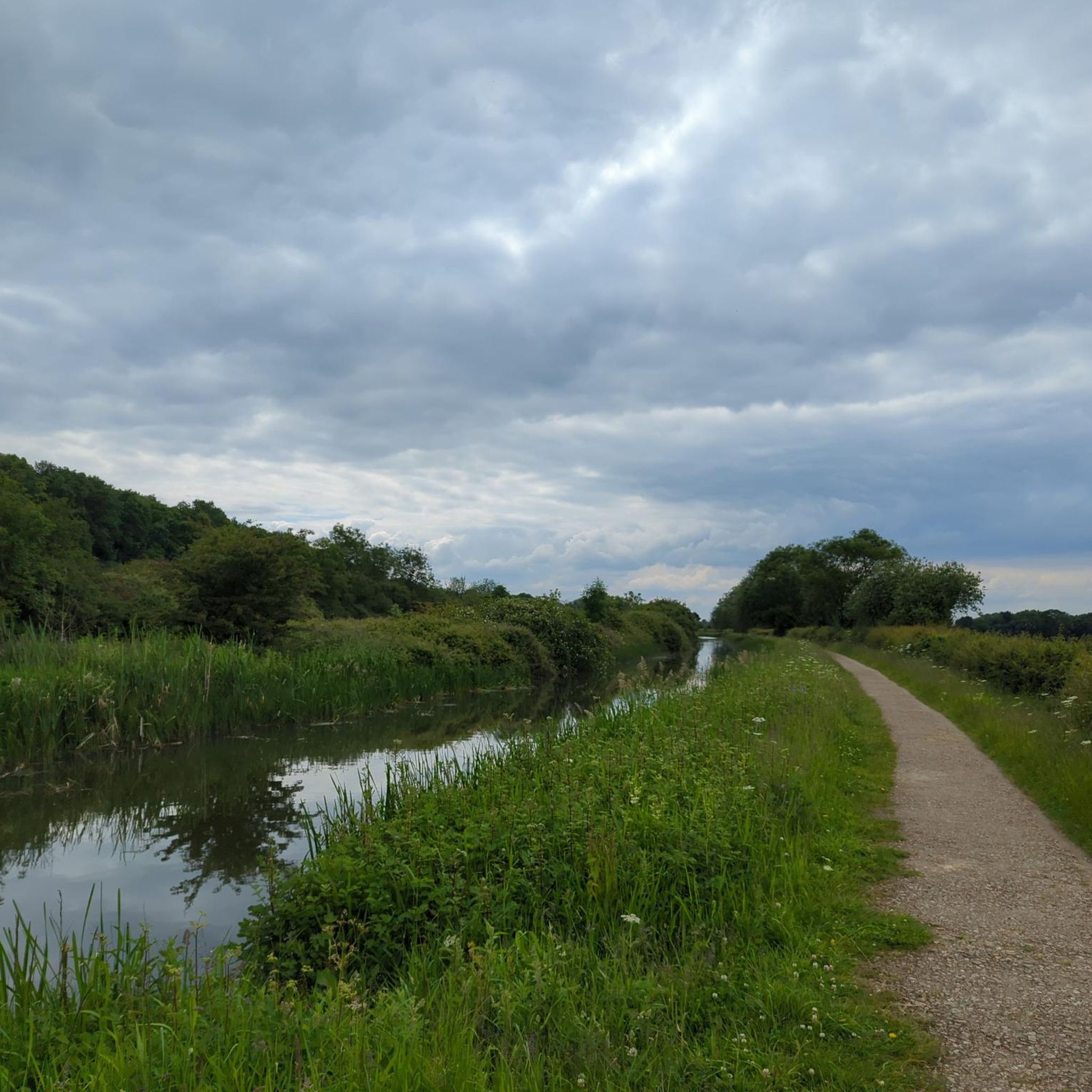
lovely canal bridge, head left along disused section of canal to pick up old railway line towards newark.
0
0

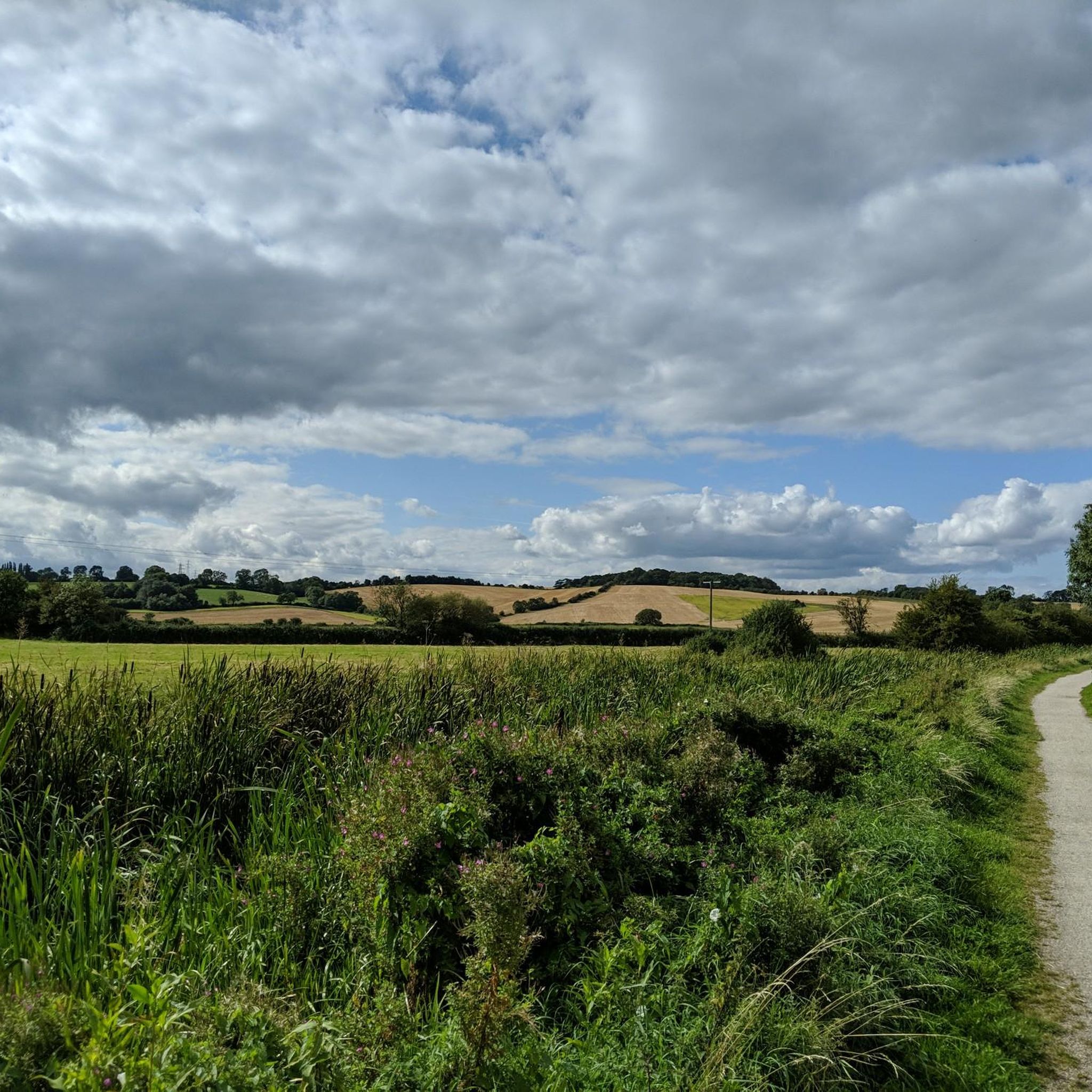
An easily spotted landmark when riding the lanes west of Grantham. There's a great flattish run from Harby through the vale to Bottesford or ride up (and down) onto the ridge on which the castle stands for some great, short climbs.
0
0

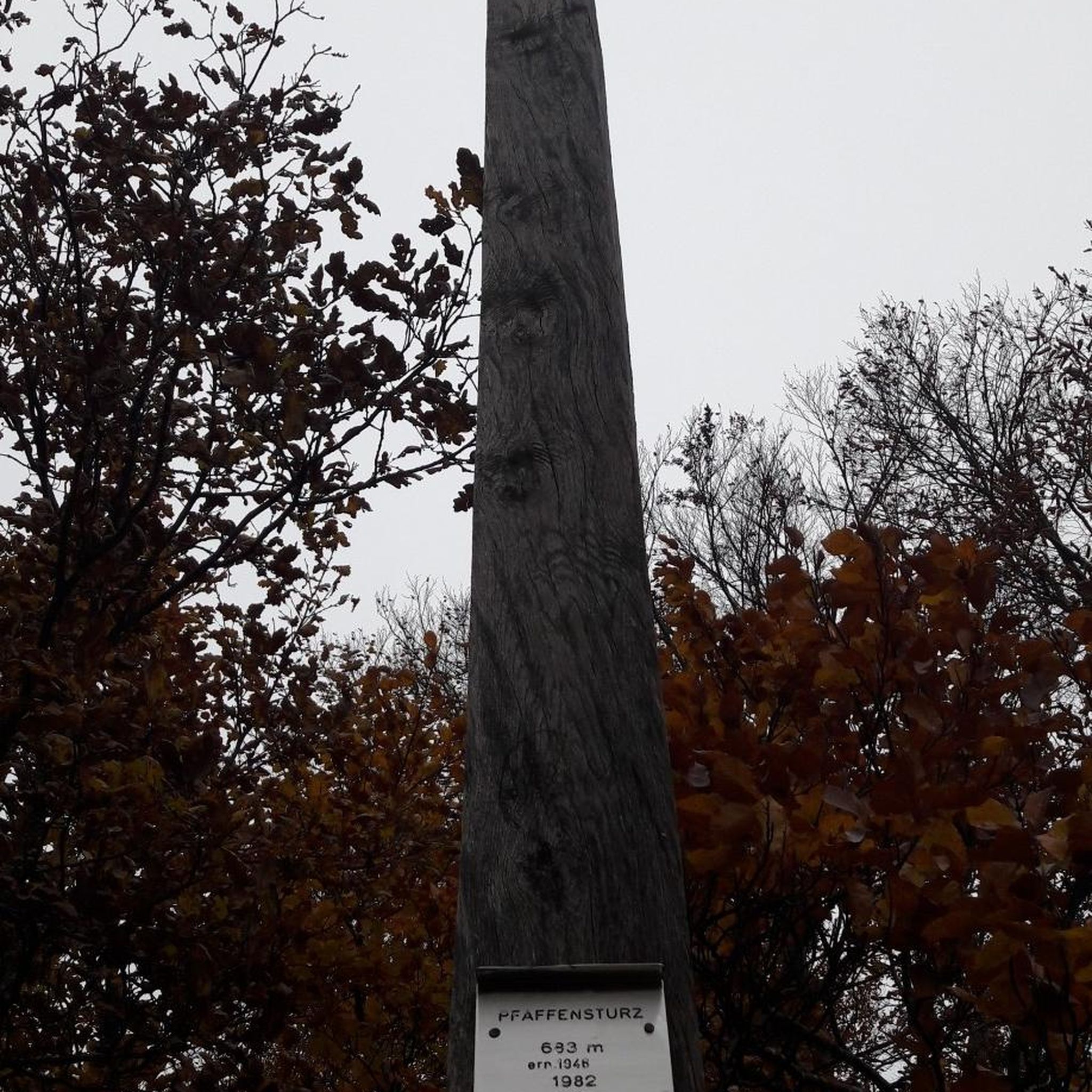
One of the top 100 climbs. Fairly short and ramps up as you go easing off after the s bend
0
0


Colston Bassett Stilton is one of the finest traditional Stilton cheeses. It's produced here by the Colston Bassett Dairy, dating as far back as 1913. The diary has a shop where you can buy the cheese direct - it's known for its rich, creamy texture and well-balanced blue veining.
0
0
A great route but some sections are extremely muddy but great fun. Toft hill climb is one section that really works legs, slow and steady wins out
1
0
Frequently Asked Questions
How many road cycling routes are available around Thoroton?
There are over 180 road cycling routes available around Thoroton, offering a wide variety of options for different preferences and abilities.
What is the terrain like for road cycling in Thoroton?
The terrain around Thoroton is characterized by a flat, open countryside within the South Nottinghamshire Farmlands and the Vale of Belvoir. You'll find a network of country lanes, large arable fields, and hedgerows, making for generally accessible and pleasant cycling conditions with none too arduous gradients.
What is the best time of year to go road cycling in Thoroton?
The flat agricultural landscapes and country lanes around Thoroton are enjoyable throughout much of the year. Spring and summer offer pleasant conditions for exploring the open countryside, while autumn provides scenic views of the changing fields. Winter cycling is also possible, though conditions may vary.
Are there options for different cycling abilities?
Yes, Thoroton offers routes suitable for various cycling abilities. With 67 easy routes and 109 moderate routes, cyclists can choose from leisurely rides through picturesque agricultural landscapes to more extensive loops. For example, the Gannets – Balderton Lake loop from Aslockton is an easy 26.2-mile ride.
Are there any notable landmarks or points of interest to see while cycling around Thoroton?
While cycling around Thoroton, you'll experience the tranquil, agricultural scenery typical of south Nottinghamshire. You can also find points of interest such as Gunthorpe Riverside and The Unicorn Hotel, or the Gunthorpe Lock and Weir. The traditional Nottinghamshire villages themselves, with their red brick buildings and pantiles, offer a sense of historical charm.
Can I find places to stop for refreshments along the routes?
Yes, there are several options for refreshments. You might encounter places like Caffe Velo Verde or the Goverton Tea Shoppe. Many routes also pass through or near traditional villages which may offer pubs or cafes.
Is parking available for cyclists in Thoroton?
While specific cyclist parking facilities are not detailed, Thoroton is a small village. Cyclists typically find parking in or around the village, often near public amenities or designated village parking areas, especially when starting a route from the village itself or nearby larger settlements like Aslockton.
How accessible is Thoroton by public transport for cyclists?
Thoroton is a rural village, and public transport options may be limited. It's advisable to check local bus schedules or train services to nearby towns like Bingham or Radcliffe-on-Trent, and plan your cycling route accordingly. Bringing your bike on public transport may require specific arrangements.
Are there any circular road cycling routes starting from Thoroton?
Many of the road cycling routes in the Thoroton area are designed as loops, allowing you to start and finish in the same location. For instance, the Whatton Lane – Ruined Church loop from Aslockton is a popular circular route that explores the local countryside.
What do other road cyclists enjoy most about the routes around Thoroton?
The routes in Thoroton are highly rated by the komoot community, with an average score of 4.5 stars from over 50 reviews. Cyclists often praise the flat agricultural landscapes, the network of quiet country lanes, and the scenic views over the River Smite valley, making for enjoyable and accessible rides.
What are some of the longer road cycling routes available?
For those seeking longer rides, the area offers several extensive routes. A notable option is the Belvoir Castle – Terrace Hill loop from Aslockton, which spans 64.0 miles (103.1 km) and offers extensive views across the rural landscape.
What is the typical duration for road cycling routes in Thoroton?
The duration of routes varies significantly based on distance and your pace. For example, an easy 26.2-mile route like the Gannets – Balderton Lake loop from Aslockton can be completed in about 1 hour 37 minutes, while longer routes such as the 64.0-mile Belvoir Castle – Terrace Hill loop from Aslockton typically take around 4 hours 43 minutes.
Are there any challenging road cycling routes around Thoroton?
While the overall terrain is generally flat, some routes incorporate more elevation gain, offering a moderate challenge. For instance, the Belvoir Hilltop Road – Whatton Lane loop from Elton and Orston covers nearly 60 km with over 300 meters of elevation, providing a more demanding ride within the region's characteristic landscape.
Most popular attractions around Thoroton

Get inspired with the komoot mobile app


Explore more
Browse the best Road cycling routes in other regions.
