The best walks and hikes in East Frisia
4.5
(35364)
175,540
hikers
6,582
hikes
Hiking trails in East Frisia traverse a flat, wide landscape on Germany's North Sea coast, characterized by its unique natural features. The region includes the UNESCO World Heritage Wadden Sea, featuring dunes, salt marshes, and vast mudflats. Inland, the terrain consists of flat moor, geest, and marsh plains, crisscrossed by fen canals and small woods. The East Frisian Islands also offer extensive sandy beaches and dune landscapes.
Best hiking trails in East Frisia
- The most popular hiking route is Norderney North Beach – View from Georgshöhe loop from Norderney, a 7.2 miles (11.6 km) trail that takes 2 hours 58 minutes to complete, offering views of the North Sea coast.
- Another top favourite among local hikers is Dune Landscape on Norderney – East Beach of Norderney loop from Norderney, a moderate 11.2 miles (18.0 km) path. This route explores the extensive dune landscapes and sandy beaches of Norderney.
- Local hikers also love the Dune Landscape on Norderney – East Beach of Norderney loop from Ruhezone I/17, a 9.1 miles (14.7 km) trail leading through the island's distinctive dune environment, often completed in about 3 hours 40 minutes.
- Hiking in East Frisia is defined by coastal paths along the Wadden Sea, flat plains with waterways, and the unique dune landscapes of its islands. The network offers options for various ability levels, from easy strolls to longer moderate routes.
- The routes in East Frisia are highly rated by the komoot community with an average score of 4.6 stars from more than 30,000 reviews. More than 150,000 hikers have used komoot to explore East Frisia's varied terrain.
Last updated: October 10, 2026
4.8
(623)
2,410
hikers
Moderate hike. Good fitness required. Easily-accessible paths. Suitable for all skill levels.
4.7
(71)
198
hikers
20.6km
05:13
30m
30m
Hard hike. Very good fitness required. Easily-accessible paths. Suitable for all skill levels.

4.8
(440)
1,688
hikers
Moderate hike. Good fitness required. Easily-accessible paths. Suitable for all skill levels.
4.8
(286)
1,629
hikers
12.3km
03:08
30m
30m
Moderate hike. Good fitness required. Easily-accessible paths. Suitable for all skill levels.
4.8
(377)
1,513
hikers
Moderate hike. Good fitness required. Easily-accessible paths. Suitable for all skill levels.
4.7
(16)
38
hikers
15.7km
04:00
40m
40m
Moderate hike. Good fitness required. Easily-accessible paths. Suitable for all skill levels.
4.9
(8)
37
hikers
7.17km
01:49
10m
10m
Easy hike. Great for any fitness level. Easily-accessible paths. Suitable for all skill levels.
15
hikers
3.87km
00:59
10m
10m
Easy hike. Great for any fitness level. Easily-accessible paths. Suitable for all skill levels.
4.5
(280)
938
hikers
8.71km
02:12
10m
10m
Moderate hike. Good fitness required. Easily-accessible paths. Suitable for all skill levels.
4.8
(241)
992
hikers
Moderate hike. Good fitness required. Easily-accessible paths. Suitable for all skill levels.
Get access to more routes and recommendations from other explorers.
Already have an account?
Our route recommendations are based on thousands of hikes, rides, and runs completed by other people on komoot.
Start today with a free account
Your next adventure awaits.
Popular around East Frisia
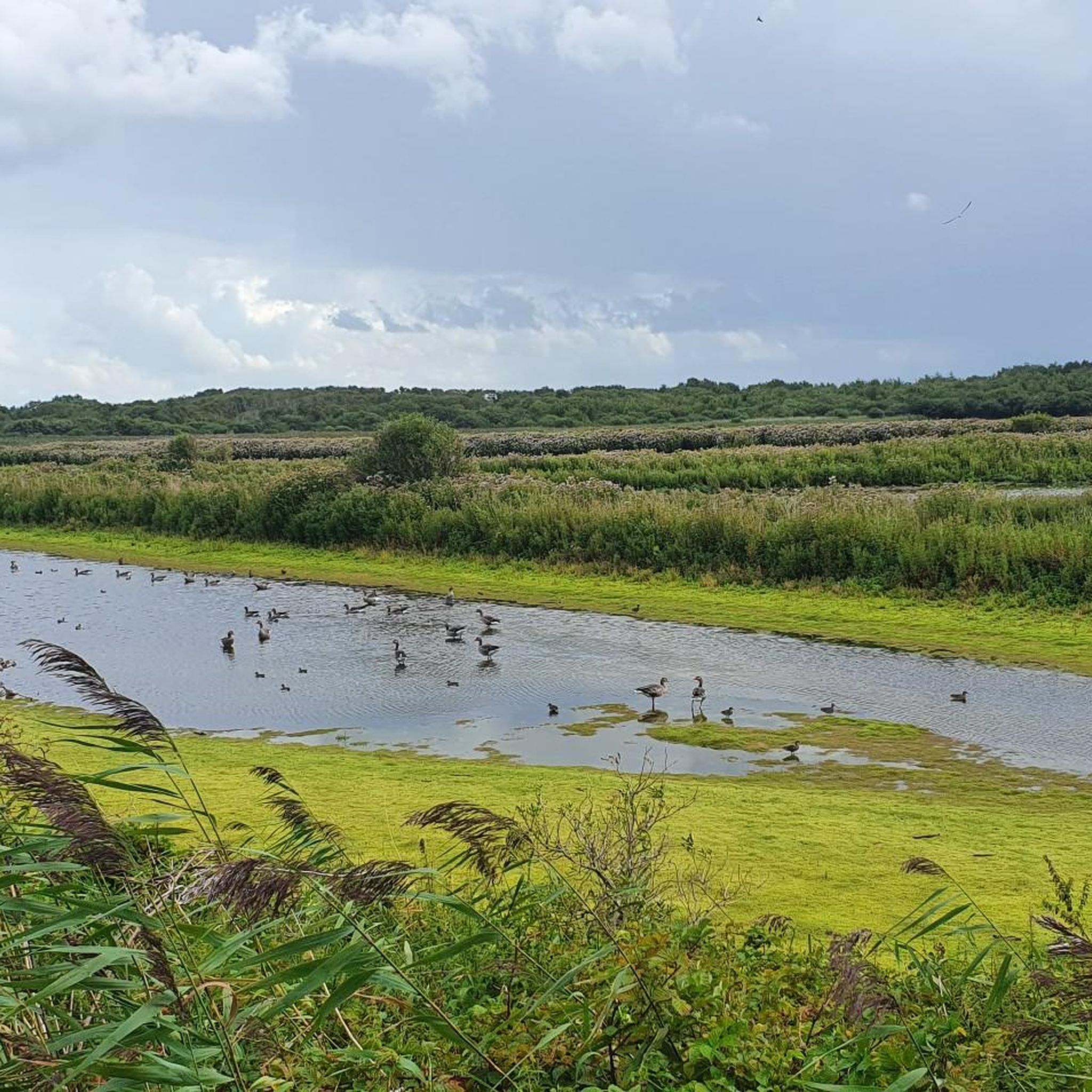
Hiking in Aurich
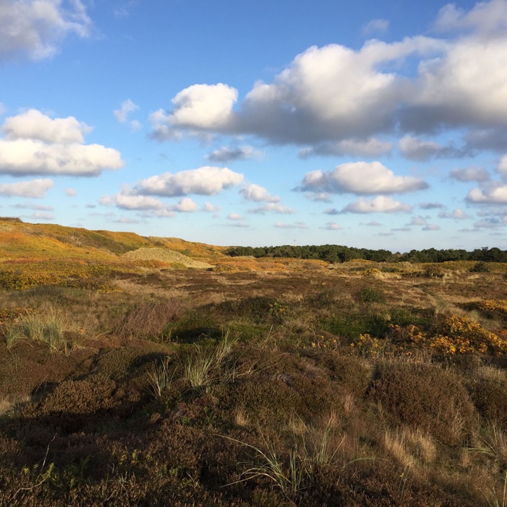
Hiking in Friesland (District)
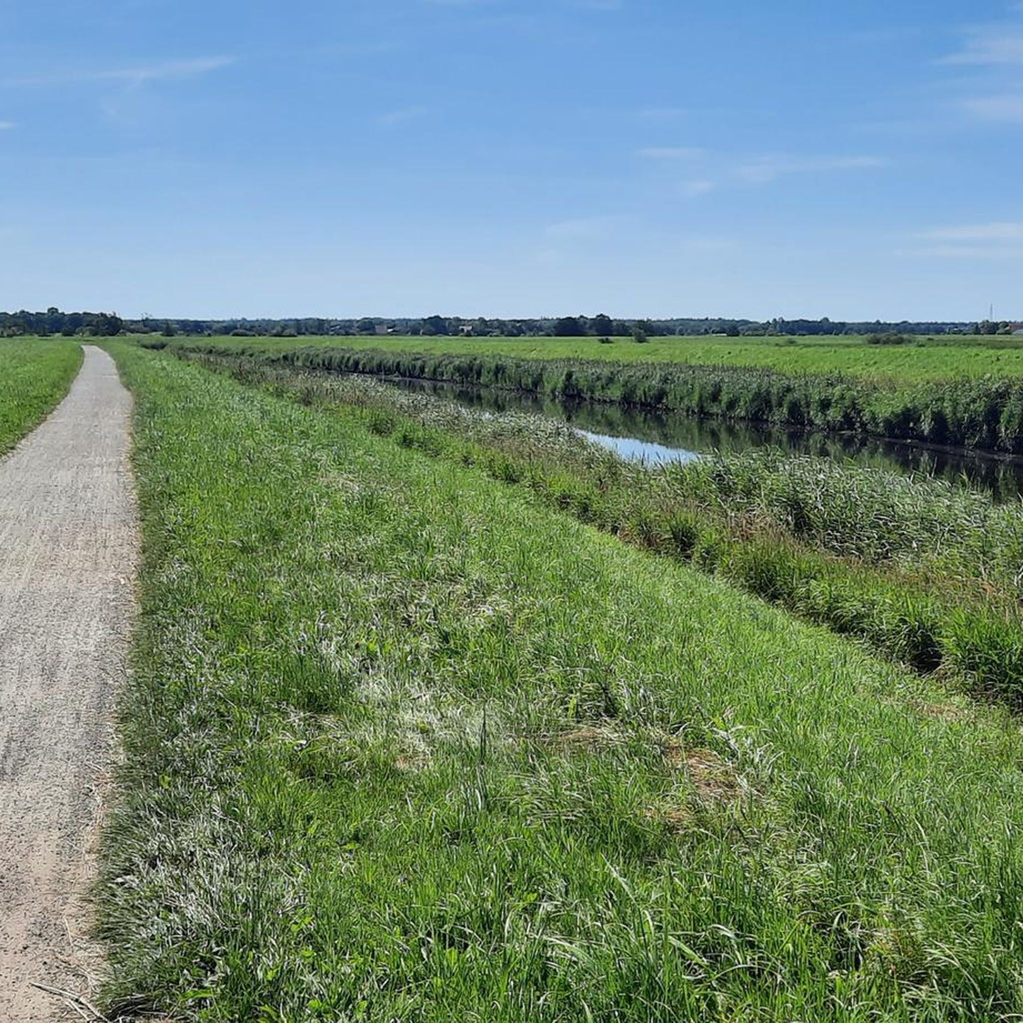
Hiking in Wittmund
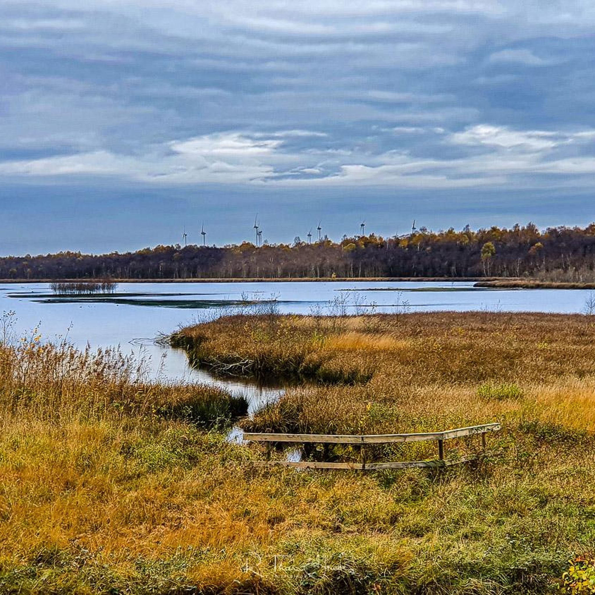
Hiking in Leer
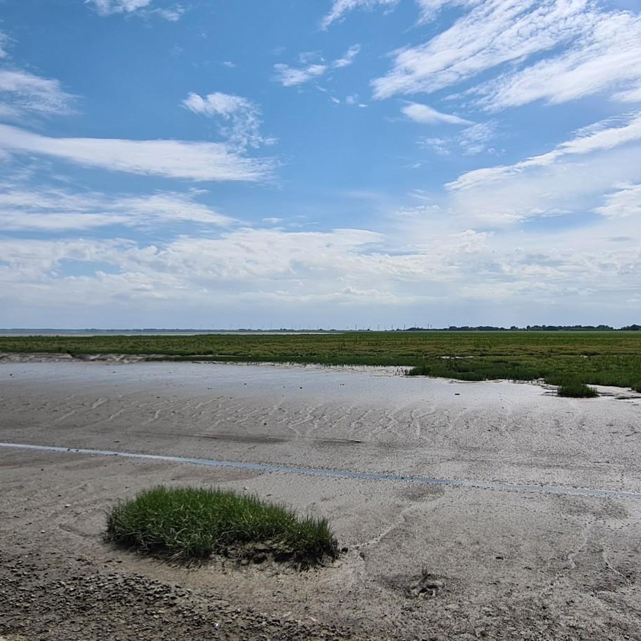
Hiking around Wilhelmshaven
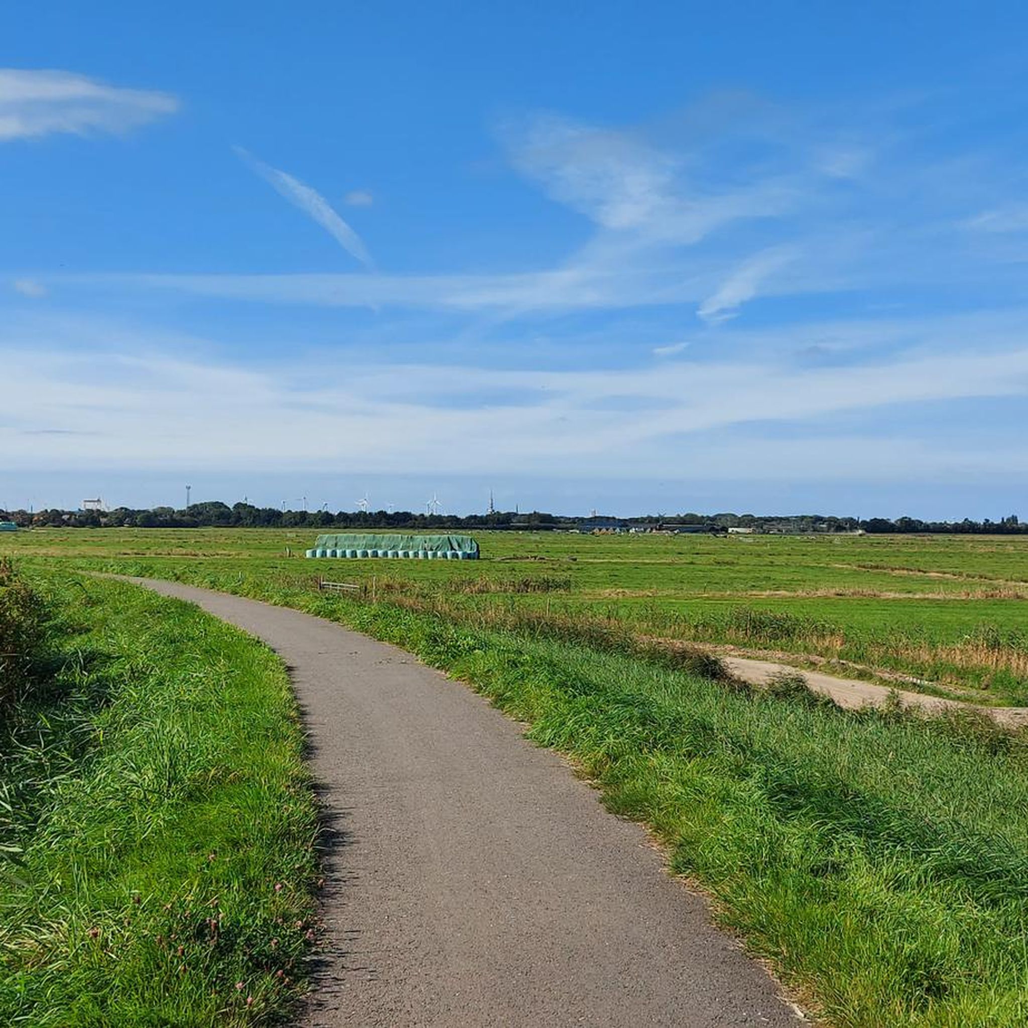
Hiking in Emden
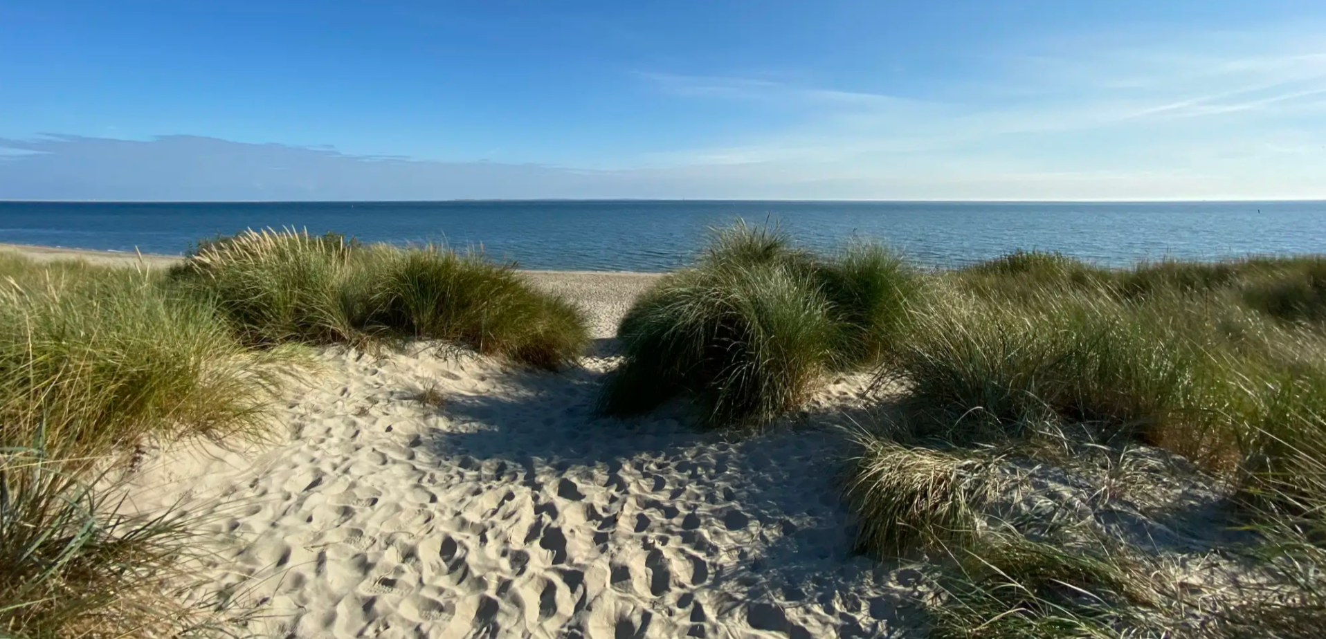
Regional Trail WaddenWalking (SP 04) - Hiking across the Wadden Sea.
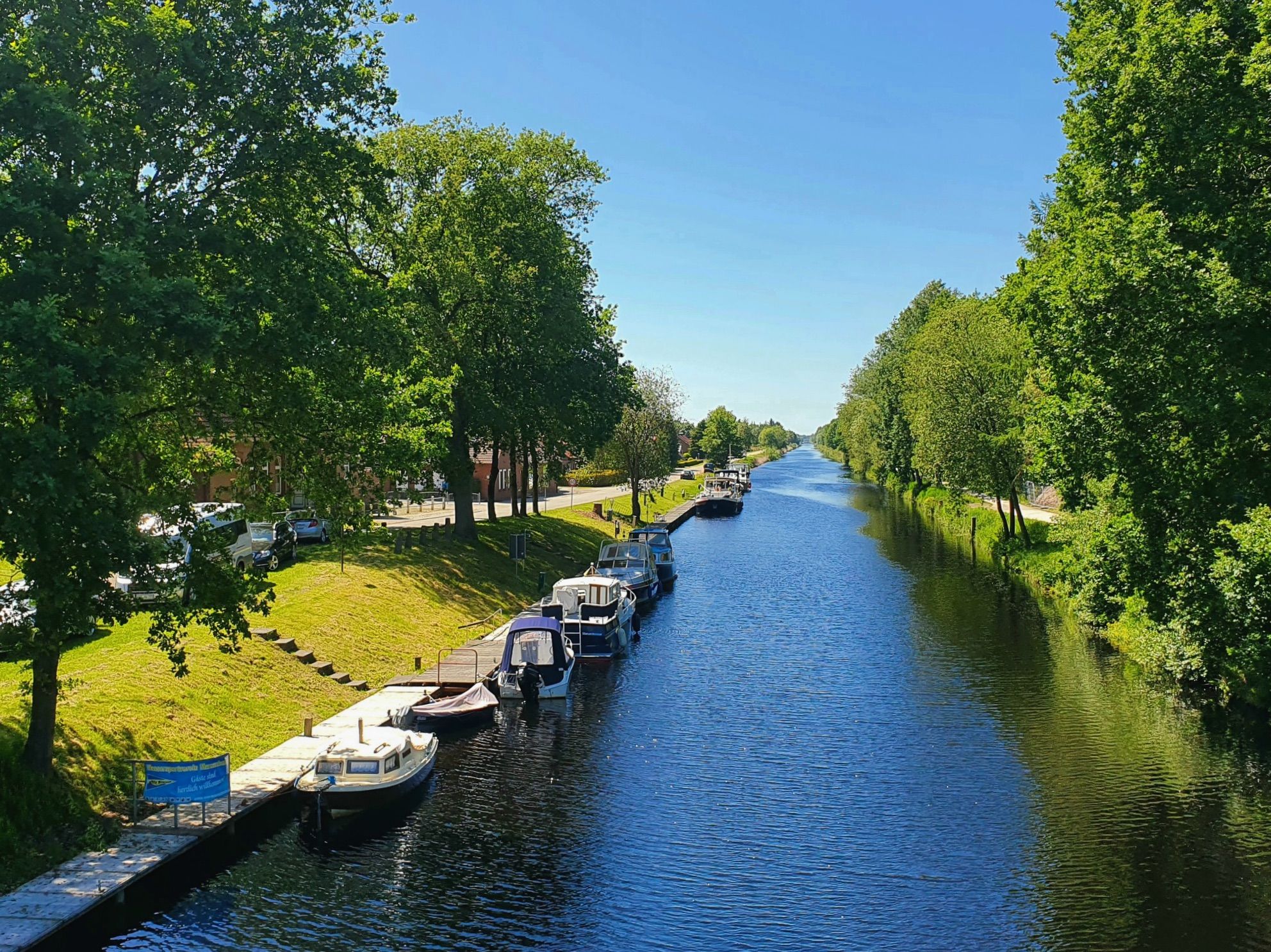
Ems-Jade Trail – Across East Frisia
The Jade Trail in Ammerland – Hiking in Northern Germany
Ostfriesland Hiking Trail – Hike to Germany's North Sea coast
Other adventures in East Frisia


Tips from the Community

The Infopavillon Westend is located in the western part of Spiekeroog, near the so-called "Westend" – a quiet, dune-rich section of the island between the main village and the Weststrand. It serves as a central point of contact for guests and locals who want to find out about the island's nature, history, and current offerings. The Infopavillon Westend is conveniently located on one of the island's main routes, near parking lots, the cycle path network, and several access points to the beach. It is a good starting point for: - Walks into the western dunes, - Mudflat hikes towards Neuwerk or Wangerooge, - Cycling tours along the island coast.
0
0
The historic lifeboat shed is located in the Westend of Spiekeroog, near the beach and the information pavilion. It was built in the 19th century and served as a shelter for a lifeboat of the German Society for the Rescue of Shipwrecked Persons (DGzRS). In a time when shipping traffic in the North Sea increased significantly, such stations along the coast were vital to be able to provide quick assistance in the event of shipwrecks. The shed is a typical example of the simple, functional architecture of maritime rescue stations: solidly built of masonry, weatherproof, and located directly on or near the beach, so that the boat could be launched quickly in any weather. Today, the lifeboat shed is one of the few remaining structures of its kind on Spiekeroog and is a listed monument. It is considered a historical witness to early maritime rescue on the North Sea coast and is part of the island's maritime cultural history. The shed is visible from the outside; interior visits are generally only possible as part of guided island tours or special events.
0
0
From a viewpoint, you have a magnificent panoramic view of the characteristic dune landscape of Spiekeroog. On the horizon, the view of the sea is clear. The dunes visible originate from different time periods, with the older dunes already being over 400 years old. Incidentally, you can recognize the age of the dunes here by their coloring. It can be roughly said that the lighter they are, the younger the dunes are. There are four different types of dunes here: The foredunes (so to speak, the dune children), the white dunes, grey dunes, and brown dunes.
0
0

The Georgshöhe viewpoint dune is an approximately 20-meter-high marginal dune on Norderney. It is considered one of the island's first official viewpoint dunes and is prominently located at Januskopf on the north beach, directly between the well-known surf café and the identically named beach hotel Georgshöhe. The height is named after King George V of Hanover, who spent almost 30 summers in Norderney in the mid-19th century and enjoyed the view of the sea from this dune. Before becoming a purely tourist destination, the dune served as a storm signal station for shipping, a water reservoir, and even as a military observation post during World War II. Until 1980, there was also a weather station located here.
0
0

Viewing platform with a panoramic view. Behind it, it goes directly to the sandy beach.
0
0
Elevated viewpoint on the beach promenade. Panoramic view.
0
0


A welcome recreational area between Varel and Obenstrohe. The path also leads here in the direction of Mühlenteich.
0
0
Frequently Asked Questions
What is the general terrain like for hiking in East Frisia?
East Frisia is characterized by a flat, wide, and calm landscape. You'll find extensive flat moor, geest, and marsh plains, intricately crisscrossed by fen canals and small bridges. Along the coast and on the East Frisian Islands, the terrain features dunes, salt marshes, and vast mudflats, particularly within the UNESCO World Heritage Wadden Sea. Inland, there are also small woods, meadows, and fields.
Are there many hiking trails available in East Frisia?
Yes, East Frisia offers a wide variety of hiking opportunities. There are over 6,500 hiking routes recorded on komoot, catering to different preferences. The majority, over 4,700, are considered easy, with about 1,600 moderate and a smaller number of more challenging routes.
What kind of unique natural features can I expect to see while hiking?
East Frisia is home to the unique UNESCO World Heritage Wadden Sea, where you can witness vast mudflats exposed during low tide. The East Frisian Islands boast long, white sandy beaches and extensive dune landscapes. Inland, you'll encounter picturesque fen canals, historic windmills, and areas of moorland and mixed forest, such as around Gut Stikelkamp.
Are there any long-distance hiking trails in East Frisia?
Yes, East Frisia features notable long-distance trails. The Ostfriesland Hiking Trail spans 90 kilometers (56 miles) from Rhauderfehn to Bensersiel, leading through diverse scenery. A more extensive option is the Frisia Coast Trail, which covers 280 kilometers (175 miles) in 14 sections, primarily following the Wadden Sea but also venturing inland.
What are some interesting landmarks or attractions to see along the trails?
Many trails offer access to charming landmarks. You can visit the iconic Pilsum Lighthouse, explore picturesque fishing villages like Greetsiel with its historic sluice, or see traditional windmills. On the islands, you might encounter the Walter-Großmann-Dune Observation Platform or the Melkhörn Dune, the highest point on Langeoog.
Are there any circular hiking routes recommended?
Yes, many routes are designed as loops. For example, you can explore the coastal scenery and dunes on the island of Norderney with the Norderney North Beach – White Sand Dunes of Norderney loop from Norderney. Another option is the Pilsum Lighthouse – Greetsiel Harbour loop from Pilsum, which combines coastal views with a visit to a charming village.
What is the best season for hiking in East Frisia?
The mild climate of East Frisia makes it suitable for hiking throughout much of the year. Spring and summer offer pleasant temperatures for exploring the coastal paths and islands, while the moors come alive with natural sounds in summer. Even winter can offer unique experiences, especially for less crowded hikes along the coast.
Can I go mudflat hiking in East Frisia?
Yes, mudflat hiking is a unique and popular activity in East Frisia, particularly within the Wadden Sea. During low tide, the vast mudflats are exposed, offering a chance to explore this special ecosystem. It's highly recommended to join guided mudflat hikes for safety and to learn about the diverse flora and fauna.
What do other hikers say about the trails in East Frisia?
The hiking trails in East Frisia are highly regarded by the komoot community, with an average rating of 4.6 stars from over 30,000 reviews. Over 150,000 hikers have used komoot to explore the region, often praising the unique coastal landscapes, the peaceful atmosphere, and the accessibility of the flat terrain.
Are there opportunities for bird watching while hiking?
East Frisia, especially the Wadden Sea and its islands, is a significant area for bird watching. Locations like Juist and the bird tower 'Kiekkasste' in Neustaatensiel offer excellent opportunities to observe a wide variety of bird species in their natural habitats.
Are the trails in East Frisia generally accessible for families or those seeking easy walks?
Yes, the flat terrain of East Frisia makes it ideal for easy walks and family-friendly excursions. A significant portion of the routes, over 4,700 on komoot, are classified as easy. Many trails along the coast, through villages, and across the flat plains are suitable for all ages and fitness levels.
How can I find routes that include views of the Wadden Sea?
Many routes along the East Frisian coast and on the islands offer direct views of the Wadden Sea. For example, the Dike Path Along the Marina – View of the Wadden Sea loop from Hooksiel provides excellent coastal vistas. You can also find numerous trails on islands like Wangerooge, such as the West Tower, Wangerooge – Wangerooge North Beach loop from Westanleger, that hug the coastline.
Most popular routes in East Frisia
Most popular attractions in East Frisia

Get inspired with the komoot mobile app


Didn’t find what you were looking for?
Check out more Hikes throughout East Frisia below and find the perfect route in your destination.
Explore more
Browse the best Hikes in other regions.
