The best MTB trails around Wangen-Brüttisellen
4.4
(1396)
6,967
riders
356
rides
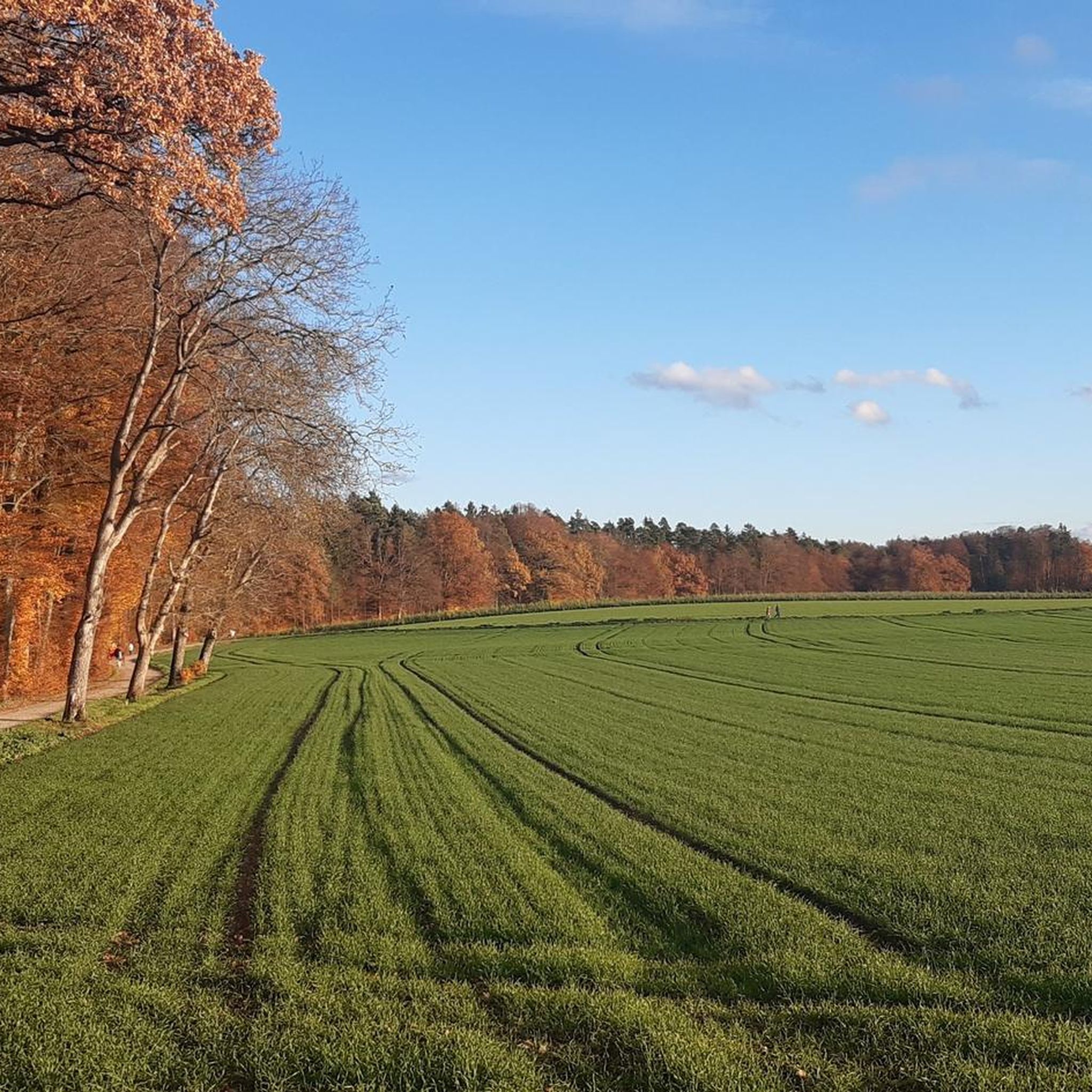
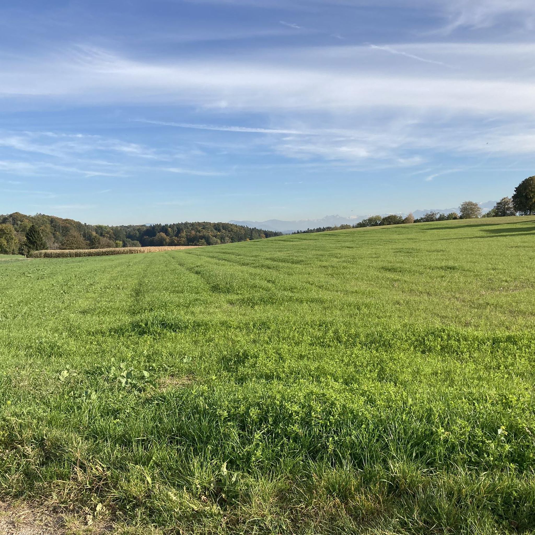
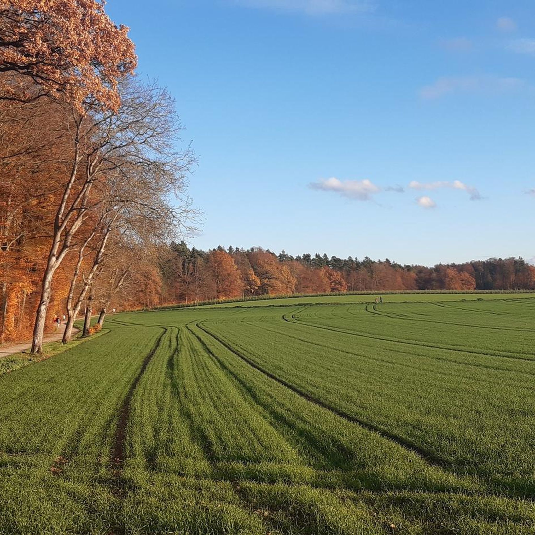
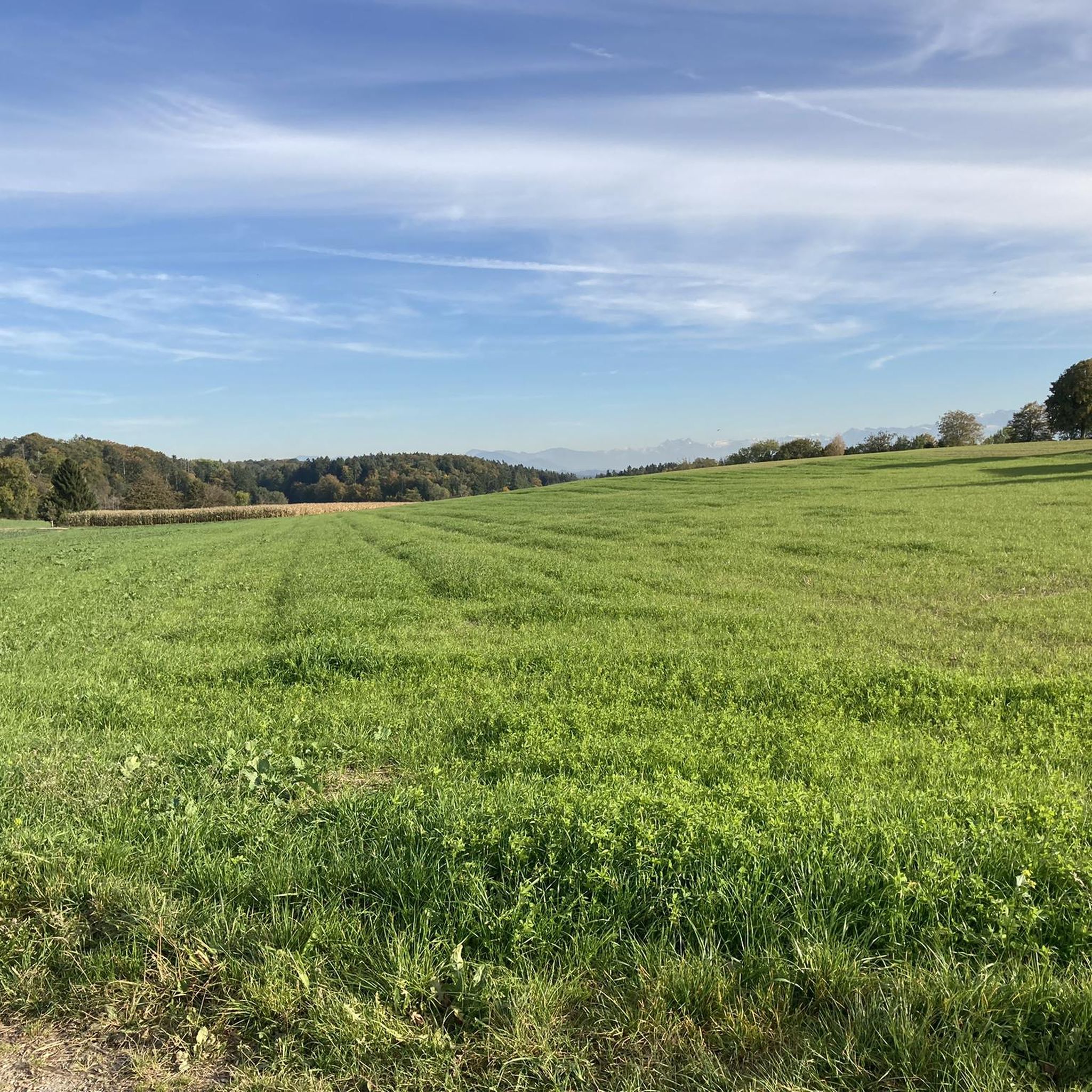
Mountain biking around Wangen-Brüttisellen offers a diverse landscape characterized by rolling terrain, dense forests, and open wetlands, often with views towards the Glatt Valley. The region features a network of trails that traverse natural areas and connect to local points of interest. Proximity to the Glattpark and Zurich Airport also means some routes blend natural scenery with more developed areas.
Best mountain bike trails around Wangen-Brüttisellen
- The most popular mountain bike trail is Hardwald Observation Tower – Wetlands Near Zurich Airport loop from Dietlikon, a 36.3 miles (58.4 km) trail that takes 3 hours 31 minutes to complete. This route offers varied scenery, including an observation tower and wetland areas.
- Another top favourite among local mountain bikers is Guldenen Trail – Forchdenkmal (War Memorial) loop from Dietlikon, a moderate 25.7 miles (41.4 km) path. This trail navigates through varied terrain, passing by the Guldenen Trail and the Forchdenkmal.
- Local mountain bikers also love the Chlostergumpen Pond – Graffiti Wall at Glattpark loop from Bassersdorf, a 24.9 miles (40.0 km) trail leading through a mix of natural areas like Chlostergumpen Pond and urban art at Glattpark, often completed in about 3 hours 20 minutes.
- Mountain biking around Wangen-Brüttisellen is defined by its forests, wetlands, and rolling terrain. The network offers options for various ability levels, from easy paths to more challenging routes.
- The routes in Wangen-Brüttisellen are highly rated by the komoot community with an average score of 4.5 stars from over 1,100 reviews. More than 7,000 mountain bikers have used komoot to explore Wangen-Brüttisellen's varied terrain.
Last updated: October 8, 2026
4.6
(21)
115
riders
Moderate mountain bike ride. Good fitness required. Advanced riding skills necessary.
5.0
(5)
35
riders
41.0km
03:05
710m
710m
Moderate mountain bike ride. Good fitness required. Advanced riding skills necessary.

4.8
(5)
20
riders
38.3km
03:13
800m
800m
Moderate mountain bike ride. Good fitness required. Advanced riding skills necessary.
4.7
(6)
15
riders
29.6km
02:22
500m
500m
Moderate mountain bike ride. Good fitness required. Suitable for all skill levels.
4.4
(5)
17
riders
38.4km
02:50
600m
600m
Moderate mountain bike ride. Good fitness required. Suitable for all skill levels.
Get access to more routes and recommendations from other explorers.
Already have an account?
Our route recommendations are based on thousands of hikes, rides, and runs completed by other people on komoot.
Start today with a free account
Your next adventure awaits.
Tips from the Community

Hydroelectric power plant Eglisau-Glattfelden, part on the Swiss side with power plant and operational building.
1
0

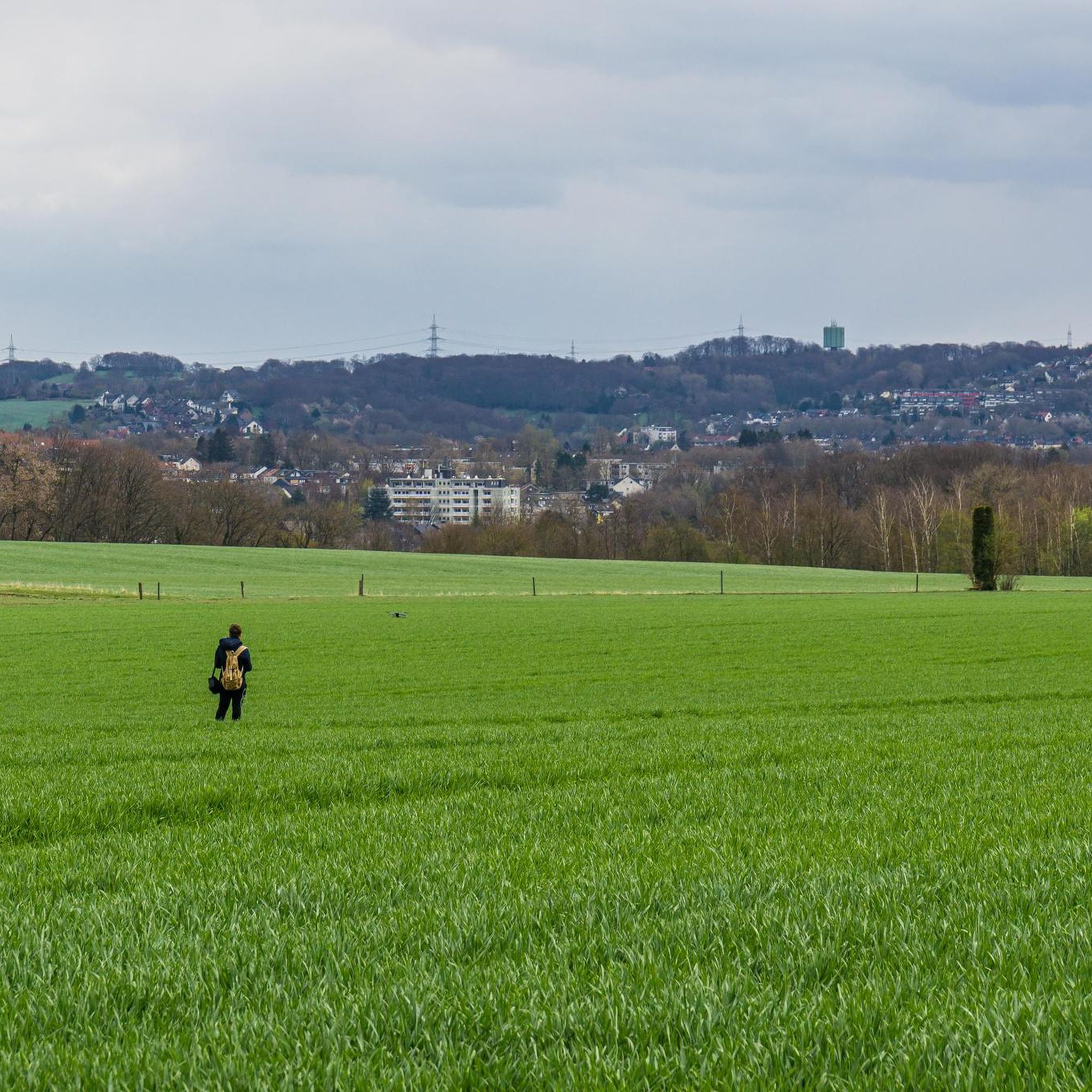
We were expecting a large green area for our son to run around. It was a disappointment. Nice spot to drop by but definitely not a spot to come solely for.
0
0

The Glatt riverbank path between Rümlang and the new Rohstrasse is currently closed due to the renaturalization of the Glatt river.
0
0

You can come here from all sides and enjoy the diverse nature
1
0

This is how the water meadows are irrigated!
0
0
A really nice trail running on a moderate ridge, a bit steeper in places.
1
1
Entrance to the super beautiful ridge trail.
1
0

Art that stands out from everyday life...
0
0
Frequently Asked Questions
How many mountain bike trails are available around Wangen-Brüttisellen?
There are nearly 400 mountain bike trails in the Wangen-Brüttisellen area. This includes a wide range of options, with 87 easy routes, over 270 moderate routes, and 28 difficult routes, catering to various skill levels.
What is the best season for mountain biking in Wangen-Brüttisellen?
The best time for mountain biking in Wangen-Brüttisellen is generally from spring to autumn (April to October). During these months, the weather is usually mild, and the trails are dry and well-maintained. Winter can bring snow and ice, making some trails challenging or impassable.
Are there any easy mountain bike trails suitable for beginners in Wangen-Brüttisellen?
Yes, Wangen-Brüttisellen offers 87 easy mountain bike trails perfect for beginners or those looking for a relaxed ride. These routes typically feature less challenging terrain and elevation changes, allowing for an enjoyable introduction to mountain biking in the region.
Are there any advanced mountain bike routes for experienced riders?
For experienced riders seeking a challenge, there are 28 difficult mountain bike routes around Wangen-Brüttisellen. These trails often include steeper climbs, technical descents, and more rugged terrain, providing a demanding and rewarding experience.
What do other mountain bikers enjoy most about the trails in Wangen-Brüttisellen?
The mountain bike trails in Wangen-Brüttisellen are highly rated by the komoot community, with an average score of 4.5 stars from over 1,100 reviews. Riders frequently praise the diverse landscape, which combines rolling terrain, dense forests, and open wetlands, often with scenic views towards the Glatt Valley. The variety of routes for different skill levels is also a common highlight.
Are there any circular mountain bike routes in the area?
Many of the mountain bike routes around Wangen-Brüttisellen are designed as loops, offering convenient circular tours. For example, the Holengrat Trail – Dättnauer Pond loop from Bassersdorf is a moderate 29.6 km circular route that takes you through varied scenery.
What scenic viewpoints can be found along the mountain bike trails?
The region offers several scenic spots. You might encounter views towards the Glatt Valley on many routes. For specific viewpoints, consider exploring areas near the Loorenkopf Tower or the Eschenberg Tower, which offer elevated perspectives of the surrounding landscape.
Are there mountain bike trails accessible by public transport in Wangen-Brüttisellen?
Wangen-Brüttisellen is well-connected, and many trails can be accessed via public transport. Routes often start near towns like Dietlikon or Bassersdorf, which have train and bus connections. It's advisable to check specific route starting points and local transport schedules for the most convenient access.
Where can I find parking for mountain biking trails in Wangen-Brüttisellen?
Parking is generally available near the starting points of many trails, especially in and around the larger towns like Dietlikon, Bassersdorf, and Wangen-Brüttisellen itself. Look for designated parking areas or public car parks in these locations before heading out on your ride.
Are there any trails that pass by interesting natural features like waterfalls or ponds?
Yes, some routes incorporate natural features. For instance, the Chlostergumpen Pond – Graffiti Wall at Glattpark loop from Bassersdorf passes by Chlostergumpen Pond. While direct waterfalls on mountain bike trails are less common, the broader region features attractions like the Küsnacht Gorge Waterfalls, which might be explored separately.
Can I find mountain bike routes that offer a mix of natural scenery and urban art?
Yes, the region's proximity to urban areas means some routes blend natural beauty with unique urban elements. The Chlostergumpen Pond – Graffiti Wall at Glattpark loop from Bassersdorf is a prime example, leading through natural areas like Chlostergumpen Pond and past urban art at Glattpark.
Are there any mountain bike trails that include historical landmarks?
While the trails primarily focus on natural landscapes, some routes may pass by or near historical points of interest. The Guldenen Trail – Forchdenkmal (War Memorial) loop from Dietlikon, for example, navigates through varied terrain and passes by the Forchdenkmal, a significant war memorial.
Most popular routes around Wangen-Brüttisellen
Most popular attractions around Wangen-Brüttisellen

Get inspired with the komoot mobile app


Explore more
Browse the best MTB trails in other regions.
