The best MTB trails around Wallendorf
4.4
(1794)
8,279
riders
11
rides
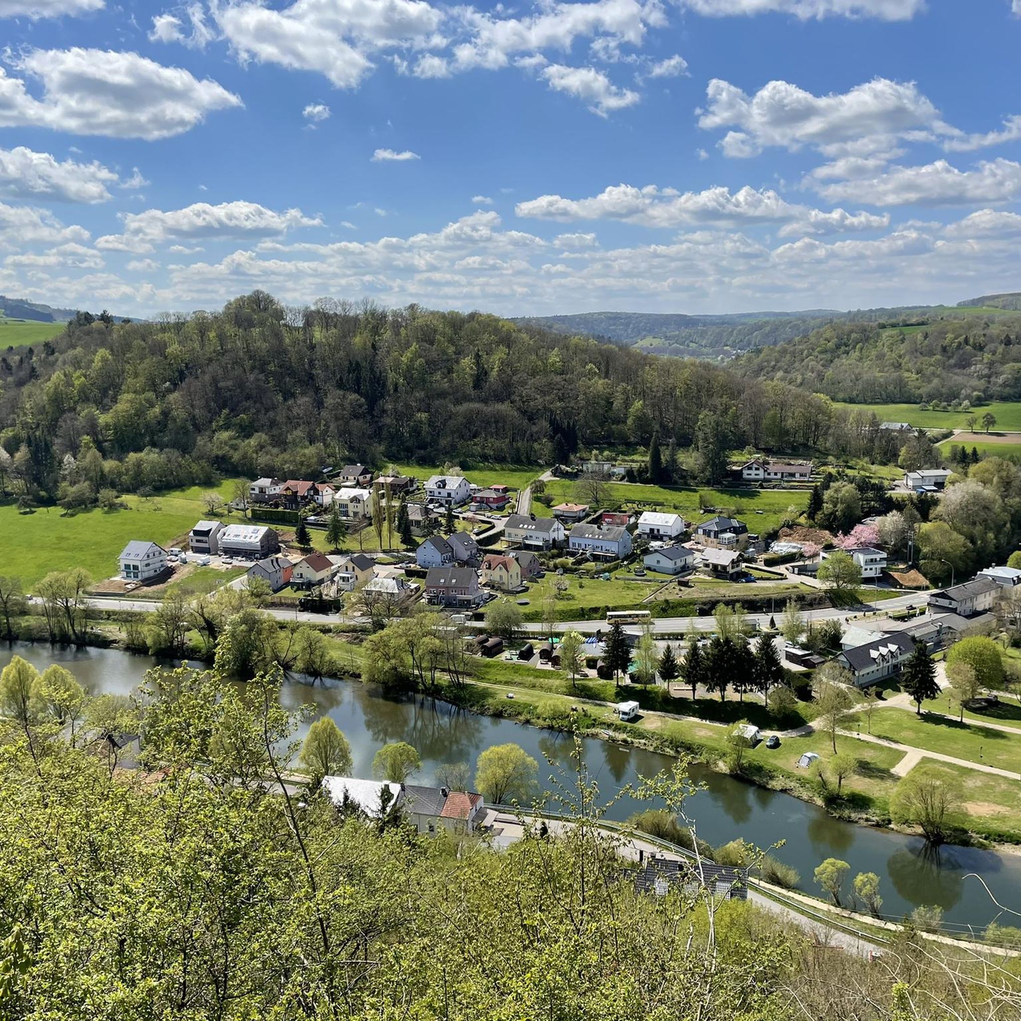
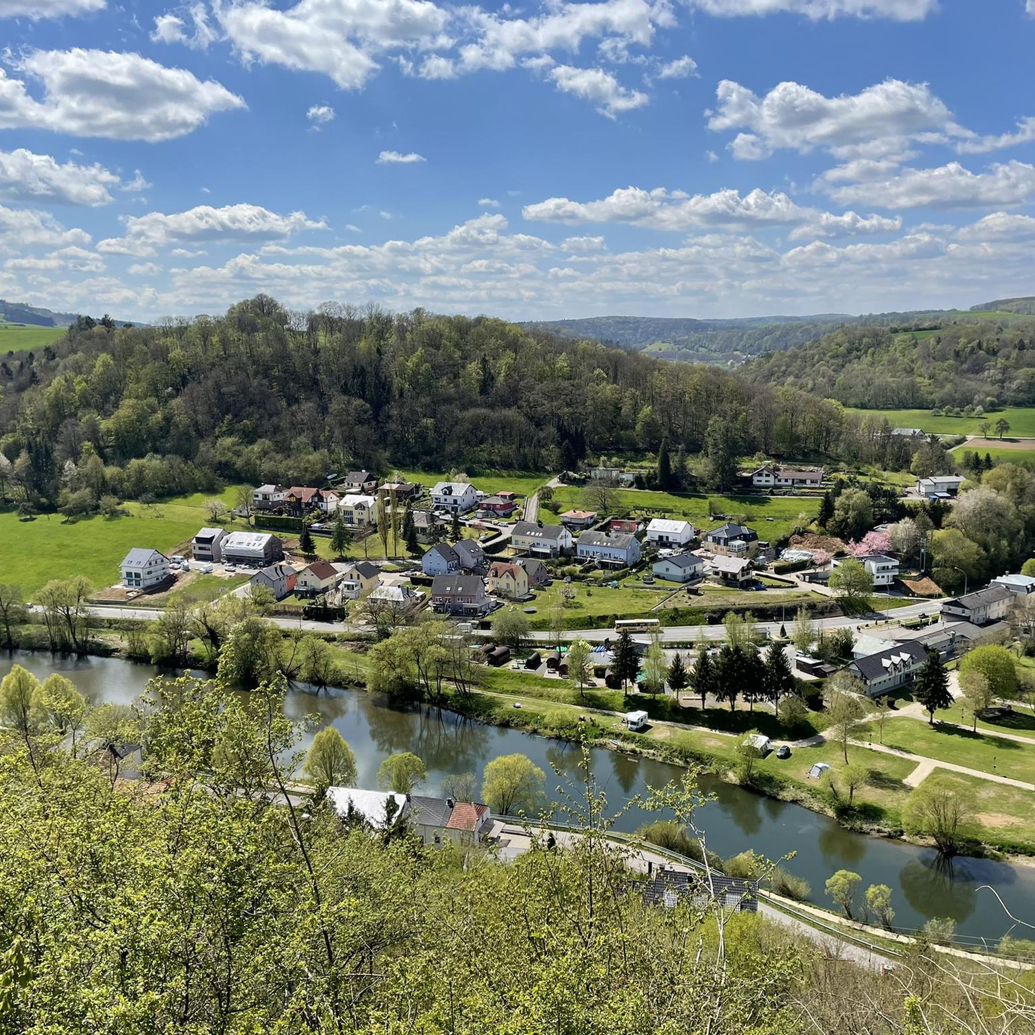
Mountain biking around Wallendorf offers varied terrain, characterized by river valleys, dense forests, and notable rock formations in the German-Luxembourgish border area. The landscape provides diverse opportunities for outdoor activities, with elevation changes suitable for different skill levels. Geological features, such as tufa caves, contribute to the unique environment for mountain bike trails.
Best mountain bike trails around Wallendorf
- The most popular mountain bike trail is Beaufort–Berdorf Singletrail – Grundhof Trail loop from Wallendorf-Pont, a 38.7 miles (62.3 km)…
Last updated: November 12, 2026
5.0
(9)
159
riders
62.8km
06:08
1,390m
1,390m
Hard mountain bike ride. Very good fitness required. Advanced riding skills necessary.
4.4
(18)
57
riders
Moderate mountain bike ride. Good fitness required. Advanced riding skills necessary.

4.6
(34)
50
riders
46.9km
04:02
750m
750m
Moderate mountain bike ride. Good fitness required. Advanced riding skills necessary.
3.0
(2)
6
riders
32.0km
02:21
550m
550m
Moderate mountain bike ride. Good fitness required. Advanced riding skills necessary.
5.0
(2)
18
riders
42.8km
03:11
530m
520m
Hard mountain bike ride. Good fitness required. Advanced riding skills necessary. Some portions of the route may require you to push your bike.
Get access to more routes and recommendations from other explorers.
Already have an account?
Our route recommendations are based on thousands of hikes, rides, and runs completed by other people on komoot.
Start today with a free account
Your next adventure awaits.


Tips from the Community

A beautiful conclusion to route 2, the view of Echternach.
0
0

After the climb, you have a beautiful view of the Basilica, Echternach and the surrounding area.
6
0
At the end of the 18th century, Empress Maria Theresa of Austria, also Duchess of Luxembourg, had the land surveyed by engineers and cartographers. Here, on the border between the possessions of the Abbey of Echternach and the County of Vianden, a boundary stone was erected on the site of a cross that had marked the border for centuries. The massive, square stone, over a meter high and 80 cm wide, now bears the name of the esteemed sovereign, the "Maria Theresa Stone". On the east side of the marker stone is the coat of arms of the "Holy Roman Empire of the German Nation", the double-headed eagle. This testifies to the fact that the Abbey of Echternach was an imperial abbey directly subordinate to the emperor. The year of construction, 1771, is engraved above the imperial coat of arms. The coat of arms of the Counts of Vianden can be seen on the west side of the stone. The two crosses on the sides date from the Prussian era (1816). The border ran from the Maria Theresa Stone in a westerly direction through a deeply cut valley, popularly known as the "Moarkendell" - "boundary stone valley". The Moarkendell still marks the border between the districts of Bollendorf and Wallendorf today. (Felsenland Südeifel)
6
0
This Benedictine Abbey was built in the Lorraine style from 1727 to 1736. The facade length of the abbey, built in the shape of a regular quadrilateral, is 75 meters, with a cloister and an inner courtyard. The designer is the Benedictine architect Leopold Durand from the Abbey of St. Avold, and it was built by the Austrian master builder family Mungenast. In 1797 the abbey was dissolved, and since 1899 the Gymnasium has been housed in these buildings. (Echternach Tourist Office)
5
0

The name dates back to Maria Theresa (1717–1780), Archduchess of Austria and ruler of the Austrian Netherlands, which included the area around Bollendorf in the 18th century. Today, the Maria-Theresien-Stein primarily serves as a waypoint within the ‘Grüne Hölle’ (Green Hell) listening tour. It is integrated into the route guidance and is presented as a stop with scenic and historical significance during the tour.
43
0

For a truly "abandoned" feel, the Bunker Trail near Dasburg offers the best combination of historical ruins and overgrown nature https://www.mycardstatement.com.co
0
0
A picturesque wooden bridge or stepping stones spanning a babbling brook on a quiet, unpaved path through farmland https://www-voyafinancial.com
0
0
Text according to the information panel: The large, sculpted stone was erected during the reign of Empress Maria Theresa of Austria, around the 18th century. It marked the border between the lordships of Echternach and Vianden, thus forming the border region between the Duchy of Luxembourg and the Electorate of Trier. The east side of the stone displays the coat of arms of Echternach Abbey: Saint Willibrord with his bishop's staff. The west side, however, bears the coat of arms of the County of Vianden with a rampant lion. On the Echternach side, one can also see the letters A.O. (Abbatia Ordinis – Abbey Order) and E.E. (Echternachensis Ecclesiae – Church of Echternach). On the Vianden side, the letters C.V. (Comitatus Vianden – County of Vianden) can be read. The stone was restored and re-erected in the 1970s. Originally, it stood slightly further south, directly on the historical border. Today it is located on the hiking trail between Bollendorf and Wallendorf.
49
0
Frequently Asked Questions
What kind of terrain can I expect on mountain bike trails around Wallendorf?
The Wallendorf region, situated in the German-Luxembourgish border area, offers a diverse landscape for mountain biking. You'll encounter varied terrain characterized by river valleys, dense forests, and unique rock formations. This mix provides a range of challenges and scenic views for riders.
Are there mountain bike trails suitable for beginners in Wallendorf?
Yes, Wallendorf offers trails for various skill levels. While many routes involve significant elevation changes, there are easy options available. For instance, the Small Bus Shelter – Bunker in Wallendorf loop from Wallendorf is an easy 18.5 km route, perfect for those looking for a less strenuous ride.
What are some challenging mountain bike trails in the Wallendorf area?
For experienced mountain bikers seeking a challenge, Wallendorf has several difficult routes. The Beaufort–Berdorf Singletrail – Grundhof Trail loop from Wallendorf-Pont is a demanding 62.3 km trail featuring extensive singletrack sections and significant elevation changes, typically taking over 6 hours to complete.
Can I find any natural landmarks or viewpoints along the mountain bike trails?
Absolutely. The region around Wallendorf is rich in natural beauty. You can explore geological features like the Tränenlay Tufa Cave, which is part of the Tränenlay Tufa Cave – Fraubillenkreuz loop from Wallendorf. Other notable natural attractions nearby include the Schiessentümpel Waterfall and Stone Bridge, the Devil's Gorge, and the Labyrinth of Rocks (Felsenlabyrinth) Mullerthal.
Are there any caves I can visit near the mountain bike routes?
Yes, the Wallendorf area is known for its fascinating cave systems. You can find highlights such as Huel Lee (Hohllay Cave), Berdorf Robbers' Cave, and the intriguing Hell. These offer unique points of interest to explore off the bike.
What do other mountain bikers say about the trails in Wallendorf?
The mountain bike trails around Wallendorf are highly regarded by the komoot community, holding an average rating of 4.4 stars from over 1,800 reviews. Riders frequently praise the varied terrain, the scenic river valleys, and the challenging yet rewarding climbs and descents found within the dense forests and rock formations.
How many mountain bike trails are available in Wallendorf?
There are over 10 mountain bike trails available around Wallendorf, catering to a range of abilities. This includes 2 easy routes, 5 moderate routes, and 4 difficult routes, ensuring options for every type of rider.
Are there any moderate mountain bike trails that offer a good balance of challenge and scenery?
For a balanced ride, consider the Steebroch Trail – Steeckaul Schoofsbësch loop from Wallendorf. This moderate 31.2 km route winds through forested areas with a mix of climbs and descents, offering both a good workout and beautiful surroundings. Another excellent moderate option is the Grundhof Trail – Beaufort Singletrack Trail loop from Wallendorf.
What is the best time of year to go mountain biking in Wallendorf?
The varied terrain of Wallendorf makes it enjoyable for mountain biking across multiple seasons. Spring and autumn generally offer pleasant temperatures and vibrant scenery, with autumn showcasing beautiful fall foliage. Summer can be great, but it's advisable to start earlier in the day to avoid the midday heat. Always check local weather conditions before heading out.
Are there any circular mountain bike routes in Wallendorf?
Yes, many of the mountain bike trails in Wallendorf are designed as circular routes, allowing you to start and finish at the same point. Examples include the moderate Tränenlay Tufa Cave – Fraubillenkreuz loop from Wallendorf and the more challenging Beaufort–Berdorf Singletrail – Grundhof Trail loop from Wallendorf-Pont.
What makes the mountain biking experience in Wallendorf unique?
The mountain biking experience in Wallendorf is unique due to its location in the German-Luxembourgish border area, offering a blend of diverse landscapes. Riders can enjoy trails that traverse river valleys, dense forests, and distinctive rock formations, including geological features like tufa caves. This natural variety provides both scenic beauty and engaging technical challenges.
Most popular routes around Wallendorf
Most popular attractions around Wallendorf

Get inspired with the komoot mobile app


Explore more
Browse the best MTB trails in other regions.
