The best road cycling routes around Waldershof
4.5
(207)
3,398
riders
46
rides
Road cycling around Waldershof offers diverse landscapes within the Fichtelgebirge region of Bavaria, Germany. The area features varied terrain, from gentle gradients along rivers like the Kösseine and Röslau to more demanding ascents and descents through mountainous areas of the Fichtelgebirge and Steinwald Nature Park. Cyclists can expect routes that traverse valleys, meadows, and forests, with prominent natural landmarks such as the Kösseine mountain. This region provides an extensive network of road cycling routes suitable for various preferences.
Best road…
Last updated: May 9, 2026
5.0
(2)
55
riders
Moderate road ride. Good fitness required. Mostly well-paved surfaces and easy to ride.
3.0
(2)
17
riders
56.5km
02:55
750m
750m
Moderate road ride. Good fitness required. Some segments of this route may be unpaved and difficult to ride.

Sign up for free
5.0
(1)
27
riders
33.4km
01:33
330m
330m
Moderate road ride. Good fitness required. Mostly well-paved surfaces and easy to ride.
5.0
(1)
19
riders
27.4km
01:27
360m
360m
Moderate road ride. Good fitness required. Mostly well-paved surfaces and easy to ride.
5.0
(1)
18
riders
67.2km
03:01
700m
700m
Moderate road ride. Good fitness required. Mostly well-paved surfaces and easy to ride.
Get access to more routes and recommendations from other explorers.
Sign up for free
Already have an account?
Our route recommendations are based on thousands of hikes, rides, and runs completed by other people on komoot.
Start today with a free account
Your next adventure awaits.
Login or Signup
Popular around Waldershof
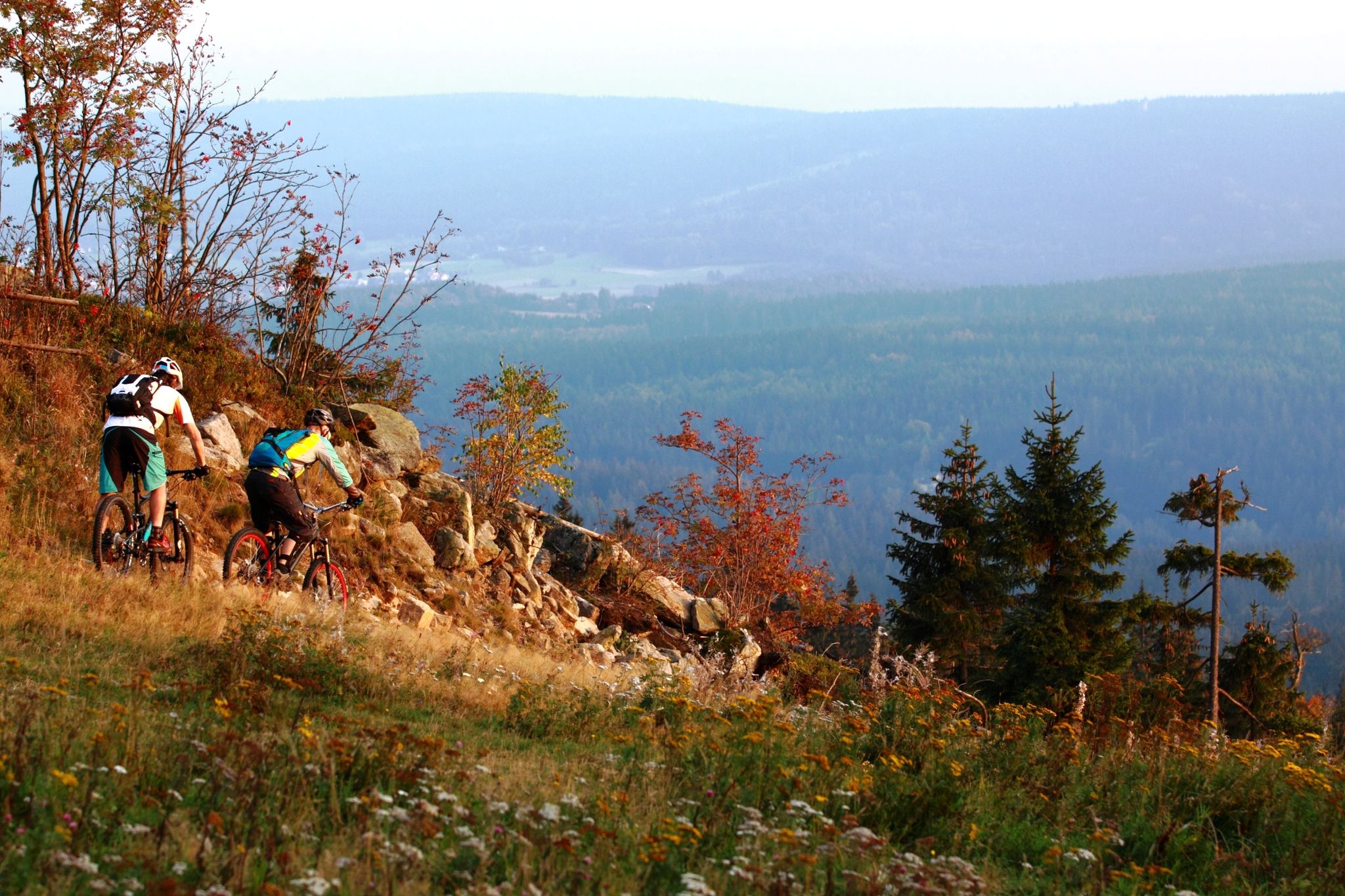
Water, rocks & trails — Mountain biking in the Fichtel mountains
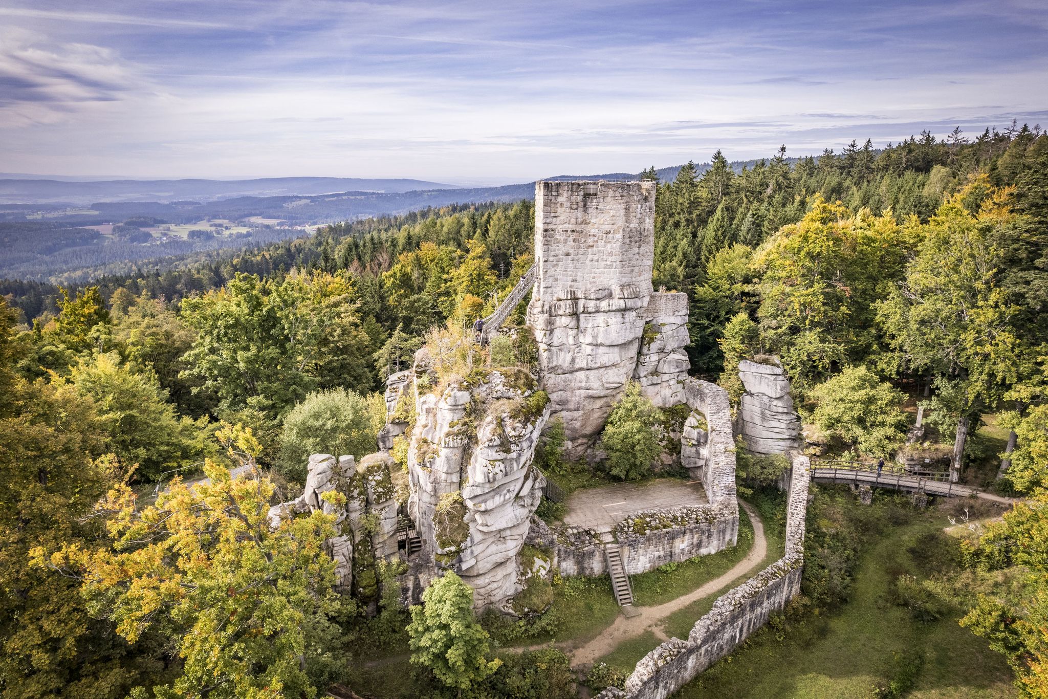
On the 'Kultouren' through the Upper Palatine Forest
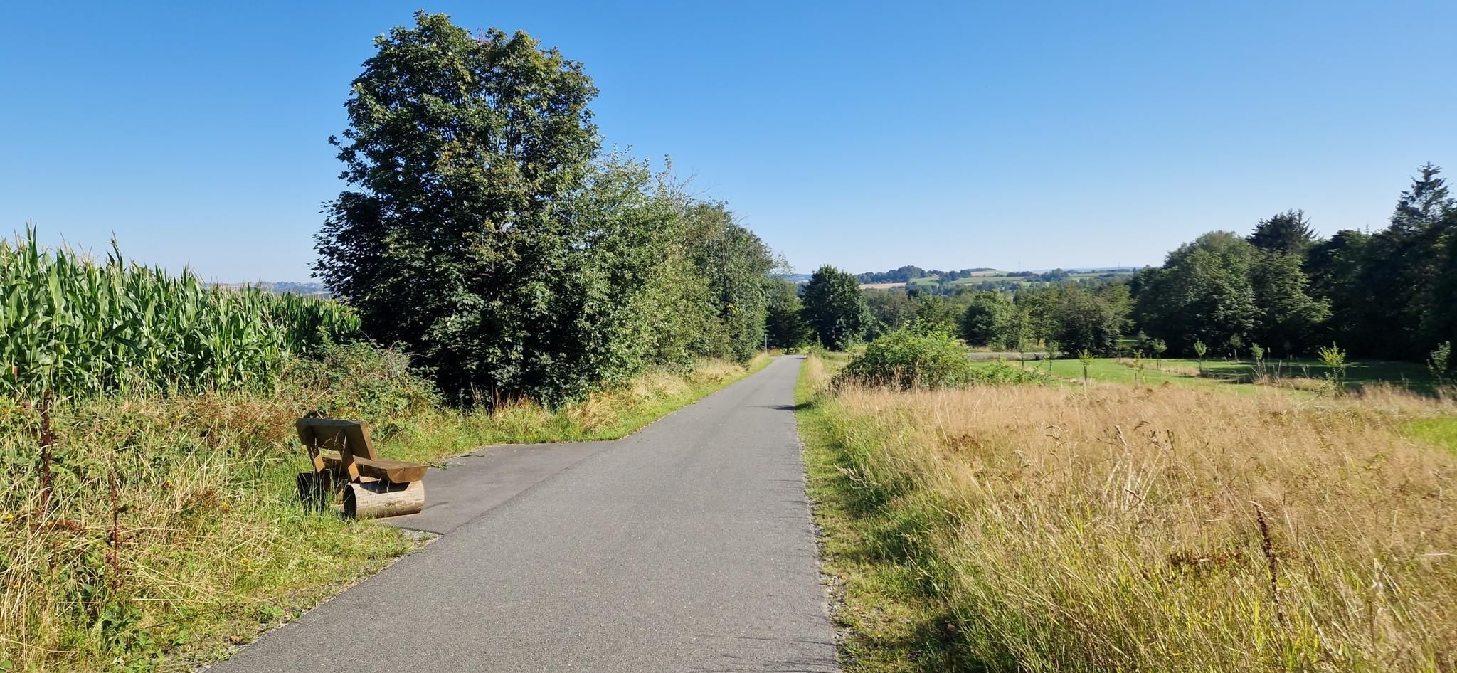
Entdecke die fränkische Vielfalt – Radregion Fichtelgebirge
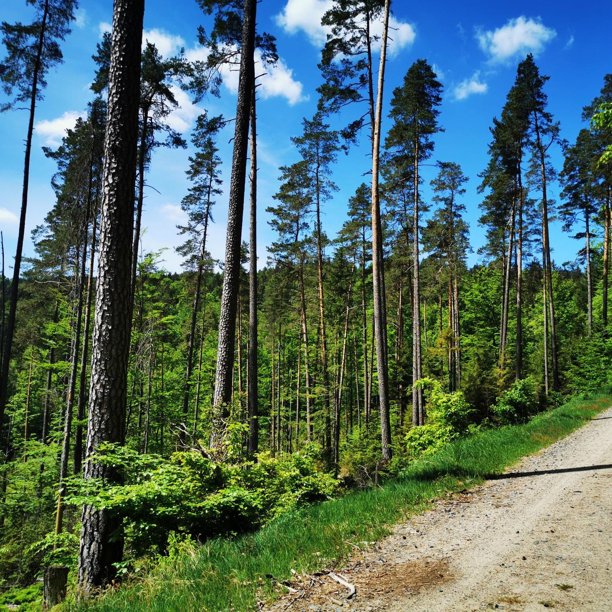
Hiking around Waldershof
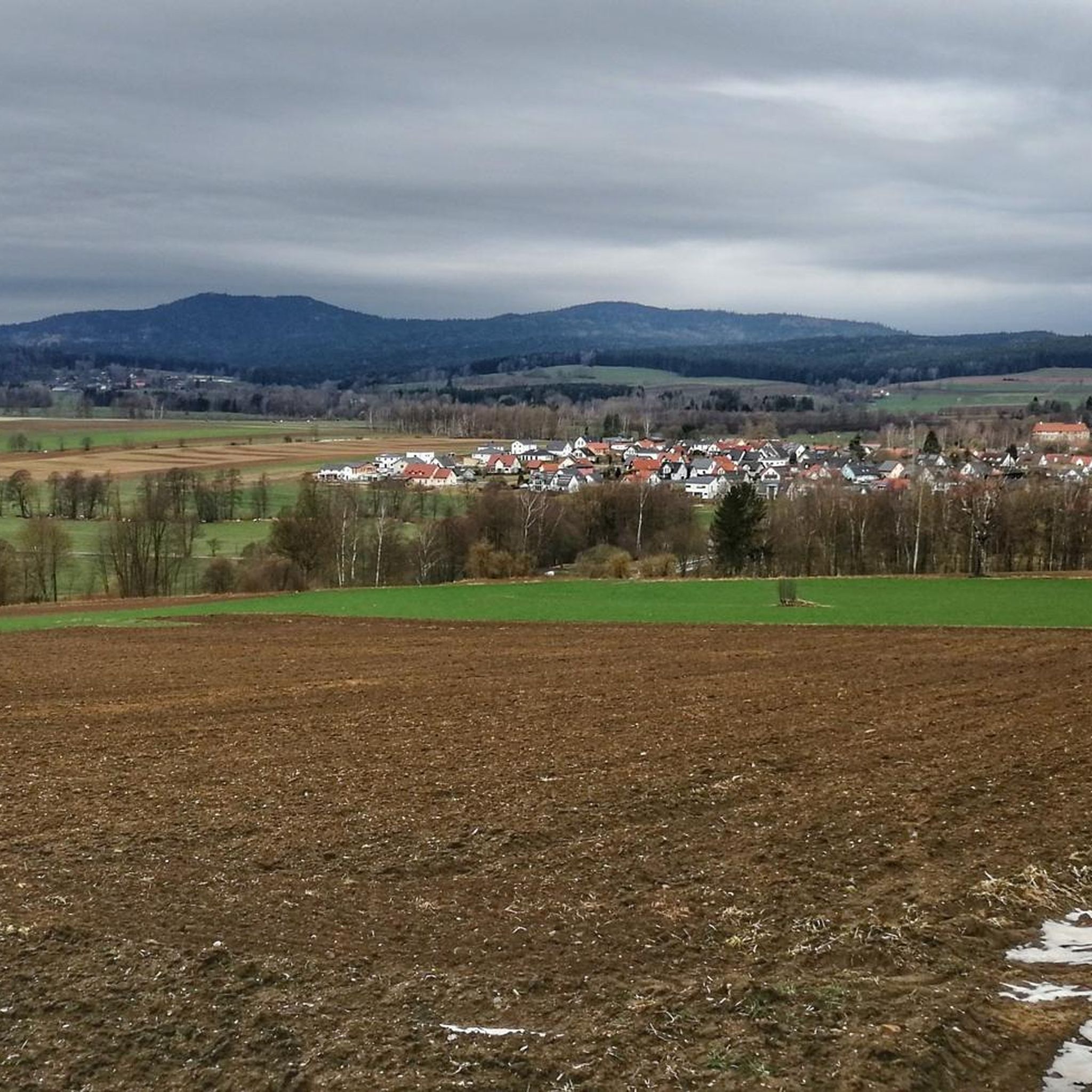
Cycling around Waldershof
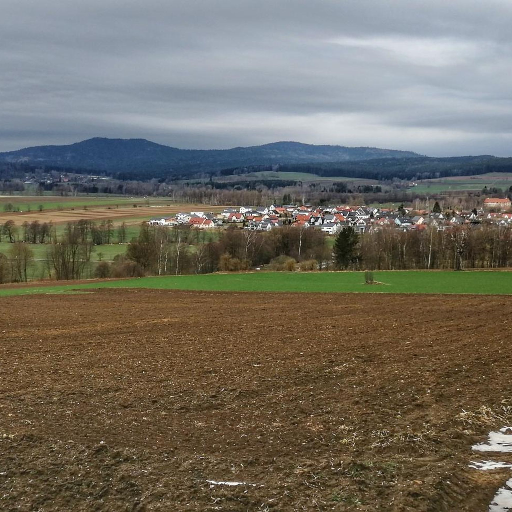
MTB Trails around Waldershof
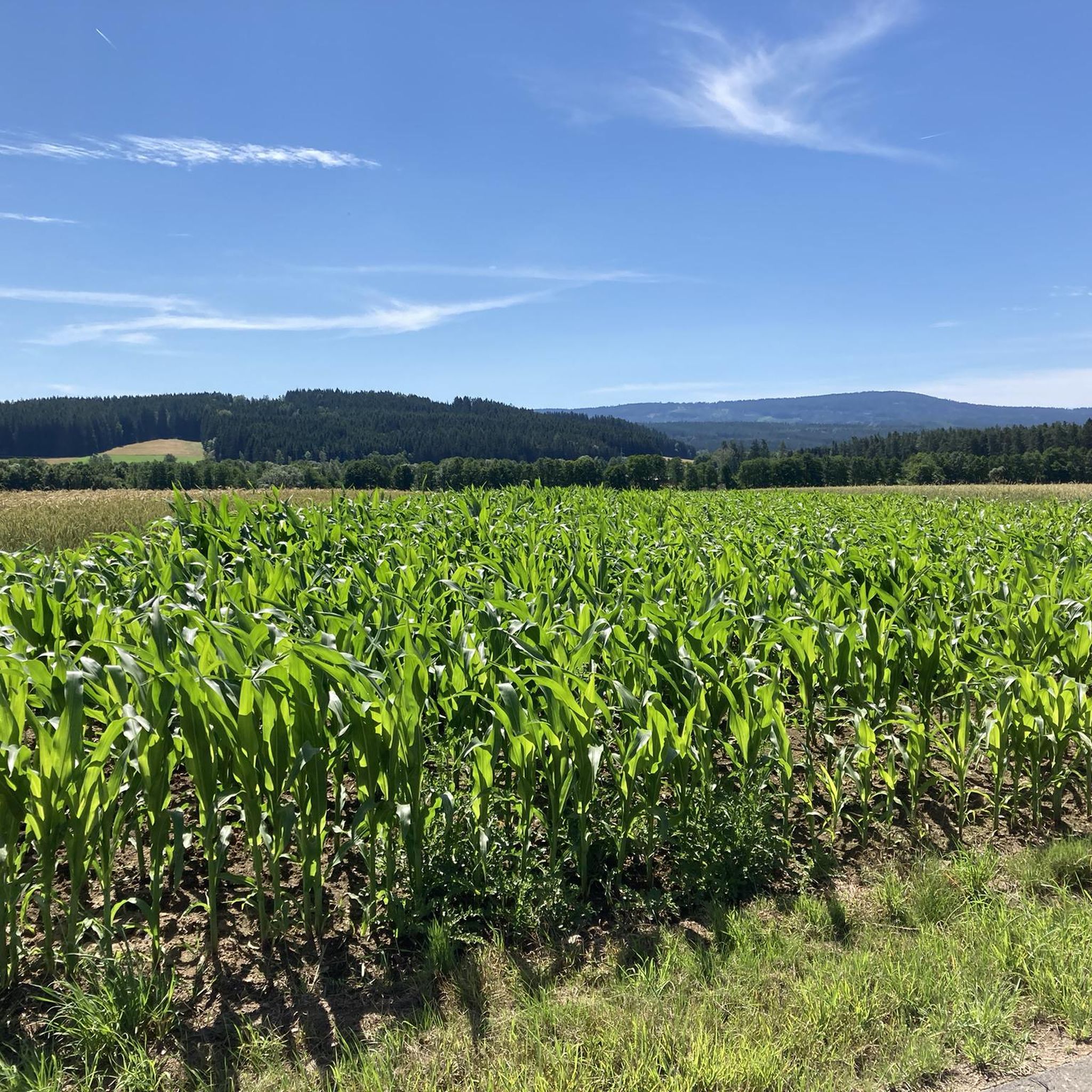
Running Trails around Waldershof

Gravel biking around Waldershof
Mountain Hikes around Waldershof
Other adventures around Waldershof


Tips from the Community

A very beautiful circular route around Lake Nagler
0
0

The small chapel is located on the outskirts of Mehlmeisel
0
0

The Dörflaser Bridge in Marktredwitz is a place that appears inconspicuous at first glance – yet bears a special geographical significance: It lies exactly on the 50th parallel, an imaginary line that stretches around the globe and connects places like Prague, Frankfurt, and Vancouver. The fact that this latitude has been made visible here, of all places, lends the bridge a quiet symbolic significance. A striking stone with an inscription indicates its location on the 50th parallel – a detail that appeals to walkers, hikers, and geography enthusiasts alike. It makes it clear: even in a small town like Marktredwitz, global lines and local paths intersect. The bridge itself spans the Kössein River, embedded in a green setting that invites you to linger and reflect. The Dörflaser Bridge is not only a crossing over the water, but also a transition between nature and knowledge. It connects the districts, brings together hiking trails, and offers a quiet place to pause. Its proximity to the city hiking trail and the Winkelmühle mill makes it a popular stop for strolls. The Dörflas Bridge at the 50th parallel is a small monument to our connection to the earth. It demonstrates how global coordinates are inscribed in local landscapes – and how, when crossing a bridge, one suddenly finds oneself in the middle of a world line. The photos show the bridge in its natural setting, the marked latitude stone, and the peaceful atmosphere by the water. A place for explorers, walkers, and anyone who wants to experience geography in a very concrete way. https://www.marktredwitz.de/freizeit-und-tourismus/sehenswuerdigkeiten
3
0

Interesting that the latitude runs exactly at this point.
1
0
Nice information that makes you think.
2
1
Rest area with children's playground on the Fichtelnaab
0
0

our local swimming pool. The city put a lot of effort and money into it, it turned out great and we love going there!
0
0

Bridge over the idyllic river Fichtelnaab.
0
0
Frequently Asked Questions
How many road cycling routes are available around Waldershof?
Waldershof offers a comprehensive network of over 45 road cycling routes. These routes cater to various preferences, from leisurely rides through valleys to more demanding ascents in the Fichtelgebirge and Steinwald Nature Park.
What kind of terrain can I expect on road cycling routes in Waldershof?
The terrain around Waldershof is diverse, ranging from gentle gradients along rivers like the Kösseine and Röslau to more challenging ascents and descents through the mountainous areas of the Fichtelgebirge and Steinwald Nature Park. You'll encounter a mix of valleys, meadows, and forests.
When is the best time of year for road cycling in Waldershof?
The spring and late summer months, particularly April and August, are noted as popular times for road cycling in the Waldershof region. The weather during these periods is generally favorable for exploring the diverse landscapes.
Are there any easy or beginner-friendly road cycling routes in Waldershof?
Yes, Waldershof offers routes suitable for beginners. Out of the 46 available routes, 4 are classified as easy. These typically feature gentler gradients and less demanding terrain, perfect for a relaxed ride.
What natural features can I see along the road cycling routes?
Road cycling routes in Waldershof often pass by significant natural features. You can expect to see the prominent Kösseine mountain, ride alongside rivers like the Kösseine and Röslau, and enjoy views of the Feisnitz-Stausee (reservoir). The region is also part of the picturesque Fichtelgebirge and Steinwald Nature Park.
Are there any historical or cultural landmarks along the routes?
Yes, several routes incorporate historical and cultural landmarks. For instance, the Waldershof Castle – Wurmloh Pass loop from Waldershof features historical sites like Waldershof Castle. Other attractions in the vicinity include Burgruine Weißenstein (castle ruins) and the unique Luisenburg Rock Labyrinth.
What do other road cyclists enjoy most about the routes in Waldershof?
The road cycling routes in Waldershof are highly rated by the komoot community, with an average score of 4.0 stars from about 15 reviews. Cyclists often praise the varied terrain, the scenic views of the Fichtelgebirge, and the well-maintained paths that cater to different skill levels.
Are there longer or more challenging road cycling routes available?
Absolutely. While there are moderate options, Waldershof also offers more challenging routes. For example, the Waldershof Castle – Wurmloh Pass loop from Waldershof is a moderate 56.6 km path that includes the challenge of Wurmloh Pass. There are 10 routes classified as difficult, providing demanding ascents and descents for experienced riders.
Where can I find parking for road cycling routes in Waldershof?
While specific parking locations for each route are not detailed, Waldershof is well-equipped for cyclists. Many routes start directly from Waldershof, suggesting accessible parking within the town or at common starting points for outdoor activities. It's advisable to check individual route descriptions for precise parking information.
Can I access road cycling routes in Waldershof using public transport?
Waldershof is situated in Bavaria, Germany, a region generally well-served by public transport. While direct access points to every route via public transport may vary, the town itself is connected, allowing cyclists to reach starting points and explore the surrounding Fichtelgebirge region.
What are some notable points of interest I might encounter on a ride?
Beyond the routes themselves, you might pass by the Kösseinehaus and Kösseine Observation Tower, offering panoramic views. The Fichtel Lake is another beautiful spot, and the Friedenfels Lake Rest Area – Friedenfels Castle Brewery loop from Waldershof takes you past the historic Castle Brewery.
Are there any specific routes that offer particularly scenic views?
Many routes in Waldershof are designed to showcase the region's beauty. The Friedenfels Lake Rest Area – Friedenfels Castle Brewery loop from Waldershof, for example, offers scenic views around Friedenfels Lake. Generally, routes traversing the Fichtelgebirge and Steinwald Nature Park provide magnificent vistas of mountains, valleys, and forests.
Most popular routes around Waldershof
Most popular attractions around Waldershof

Get inspired with the komoot mobile app


Explore more
Browse the best Road cycling routes in other regions.
