The best road cycling routes around Richmondshire
4.6
(171)
8,870
riders
444
rides
Road cycling around Richmondshire, situated in North Yorkshire, offers diverse landscapes within the Yorkshire Dales National Park. The region is characterized by rolling hills, expansive dales like Swaledale and Wensleydale, and meandering river valleys. Cyclists encounter a mix of challenging climbs and more leisurely routes along narrow country lanes, providing varied terrain for different fitness levels.
Best road cycling routes around Richmondshire
- The most popular road cycling route is Wensleydale & Swaledale loop from Bainbridge — Yorkshire Dales Dales National Park, a 35.9 miles (57.8 km) trail that takes 3 hours 16 minutes to complete. This difficult route traverses two prominent dales, offering varied scenery and significant elevation.
- Another top favourite among local road cyclists is Richmond loop to Buttertubs Pass — Yorkshire Dales National Park, a difficult 52.7 miles (84.8 km) path. This route includes the challenging Buttertubs Pass, known for its steep ascents and panoramic views across the Dales.
- Local road cyclists also love the The Stang & Richmond loop from Reeth, a 34.1 miles (54.9 km) trail leading through the rugged terrain of Swaledale and featuring the climb of The Stang, often completed in about 2 hours 49 minutes.
- Road cycling around Richmondshire is defined by rolling hills, deep river valleys, and challenging climbs such as Buttertubs Pass and The Stang. The network offers options for moderate to difficult routes, catering to various ability levels.
- The routes in Richmondshire are highly rated by the komoot community with an average score of 4.6 stars from over 150 reviews. More than 9,000 road cyclists have used komoot to explore Richmondshire's varied terrain.
Last updated: July 7, 2026
4.7
(7)
258
riders
57.8km
03:17
1,150m
1,150m
Embark on a challenging road cycling adventure with the Wensleydale & Swaledale loop from Bainbridge. This difficult route covers 35.9 miles (57.8 km) and features a significant elevation gain of 3762 feet (1147 metres), typically taking around 3 hours and 16 minutes to complete. You will experience varied terrain, from well-paved roads to potentially unpaved segments, as you cycle through windswept hills, expansive moors, and deep glacial valleys, passing charming villages and stone barns. The landscape transforms from drystone walls and wildflower meadows to wild, remote moorland as you move between the distinct dales.
To make the most of your ride, consider planning your visit for late spring, specifically May to June, or early autumn, from September to October. During these periods, you can expect milder weather conditions and fewer crowds on the roads. The route starts from Bainbridge, a good base for exploring the Yorkshire Dales National Park. Be prepared for a hard road ride that requires very good fitness due to the challenging climbs and descents throughout the loop.
This loop is one of the most popular road cycling routes in the Yorkshire Dales National Park, an area well-known for its excellent cycling opportunities. The region's challenging climbs have even hosted parts of the prestigious Tour de France route, highlighting the quality of the terrain. As you ride, you will witness the natural beauty of both Wensleydale and Swaledale, characterized by prominent limestone features and quiet roads where sheep often outnumber cars, offering a peaceful and immersive experience.
4.3
(3)
130
riders
84.8km
04:14
1,170m
1,170m
Embark on a difficult road cycling adventure with the Richmond loop to Buttertubs Pass, a challenging route through the Yorkshire Dales National Park. This 52.7 miles (84.8 km) loop features a significant elevation gain of 3841 feet (1171 metres) and takes around 4 hours and 14 minutes to complete. You will encounter demanding climbs, including sections of Buttertubs Pass with gradients up to 20%, alongside picturesque views of dry stone walls, rolling hills, and open moorland. The charming market town of Richmond, with its Norman castle and cobbled marketplace, serves as your starting point. You will also see the distinctive 20-meter-deep limestone potholes that give Buttertubs Pass its name. The route offers stunning panoramas over Swaledale and Wensleydale, making it a truly rewarding ride for those with very good fitness.
When planning your visit, be prepared for exposed conditions on the upper slopes of the climb, where you might encounter wandering sheep. The road surfaces are generally well-paved, but the steepness of the climbs and sharp descents with tight hairpins require careful handling. Starting from Richmond provides easy access to this loop. This route is best enjoyed when the weather is clear, allowing you to fully appreciate the expansive views and tackle the challenging ascents safely. Always check local weather conditions before heading out, as the Dales can be unpredictable.
Buttertubs Pass is an iconic climb in the cycling world, recognized in the "100 Greatest Cycling Climbs" list. Its fame grew significantly when it was featured as the second and highest categorized climb in Stage One of the 2014 Tour de France. The pass was also intended to be part of the 2019 UCI Road World Championships. The unique name comes from a historical practice where farmers would cool their butter in the deep limestone potholes while resting on their way to market. This route offers a chance to ride a piece of cycling history while experiencing the achingly beautiful surroundings of the Yorkshire Dales.

Sign up for free
2.0
(1)
46
riders
55.0km
02:49
880m
870m
Cycle the Stang & Richmond loop from Reeth, a moderate 34.1-mile road route through the Yorkshire Dales with challenging climbs.
12
riders
52.6km
02:40
700m
700m
This moderate 32.7-mile road cycling loop from Leyburn explores Lower Wendsleydale and Coverdale, featuring Jervaulx Abbey and Middleham Cas
4
riders
85.3km
04:05
810m
810m
Moderate road ride. Good fitness required. Mostly well-paved surfaces and easy to ride.
5.0
(8)
325
riders
71.0km
03:28
1,050m
1,050m
Hard road ride. Very good fitness required. Mostly well-paved surfaces and easy to ride.
4.6
(9)
277
riders
52.5km
02:50
950m
950m
Hard road ride. Very good fitness required. Mostly well-paved surfaces and easy to ride.
178
riders
97.9km
05:34
1,820m
1,830m
Hard road ride. Very good fitness required. Mostly well-paved surfaces and easy to ride.
5.0
(3)
168
riders
50.5km
02:41
830m
830m
Moderate road ride. Good fitness required. Mostly well-paved surfaces and easy to ride.
5.0
(1)
178
riders
94.2km
04:58
1,730m
1,730m
Hard road ride. Very good fitness required. Mostly well-paved surfaces and easy to ride.
Get access to more routes and recommendations from other explorers.
Sign up for free
Already have an account?
Our route recommendations are based on thousands of hikes, rides, and runs completed by other people on komoot.
Start today with a free account
Your next adventure awaits.
Login or Signup
Popular around Richmondshire
Road Cycling Routes around Downholme
Road Cycling Routes around Hudswell
Road Cycling Routes around Richmond
Road Cycling Routes around Cleasby
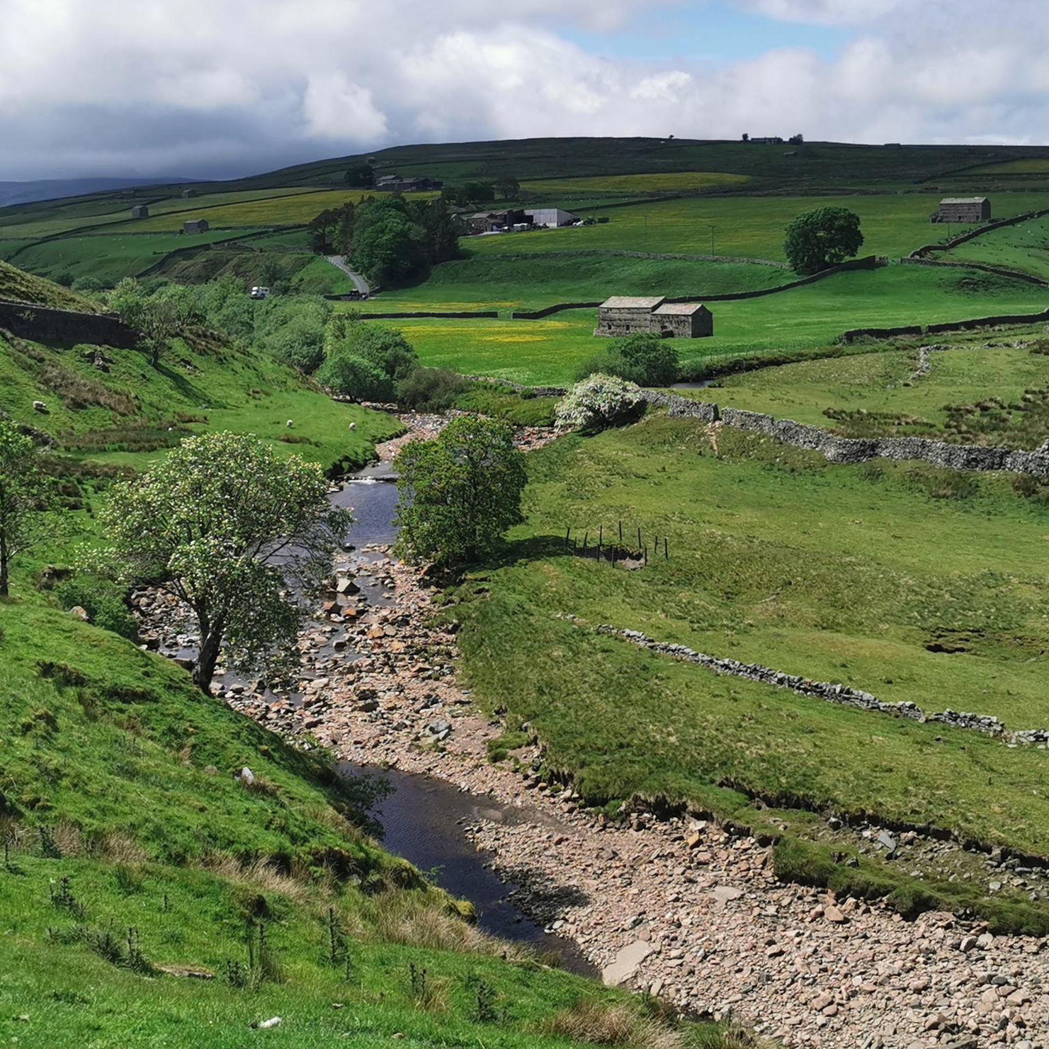
Road Cycling Routes around Easby
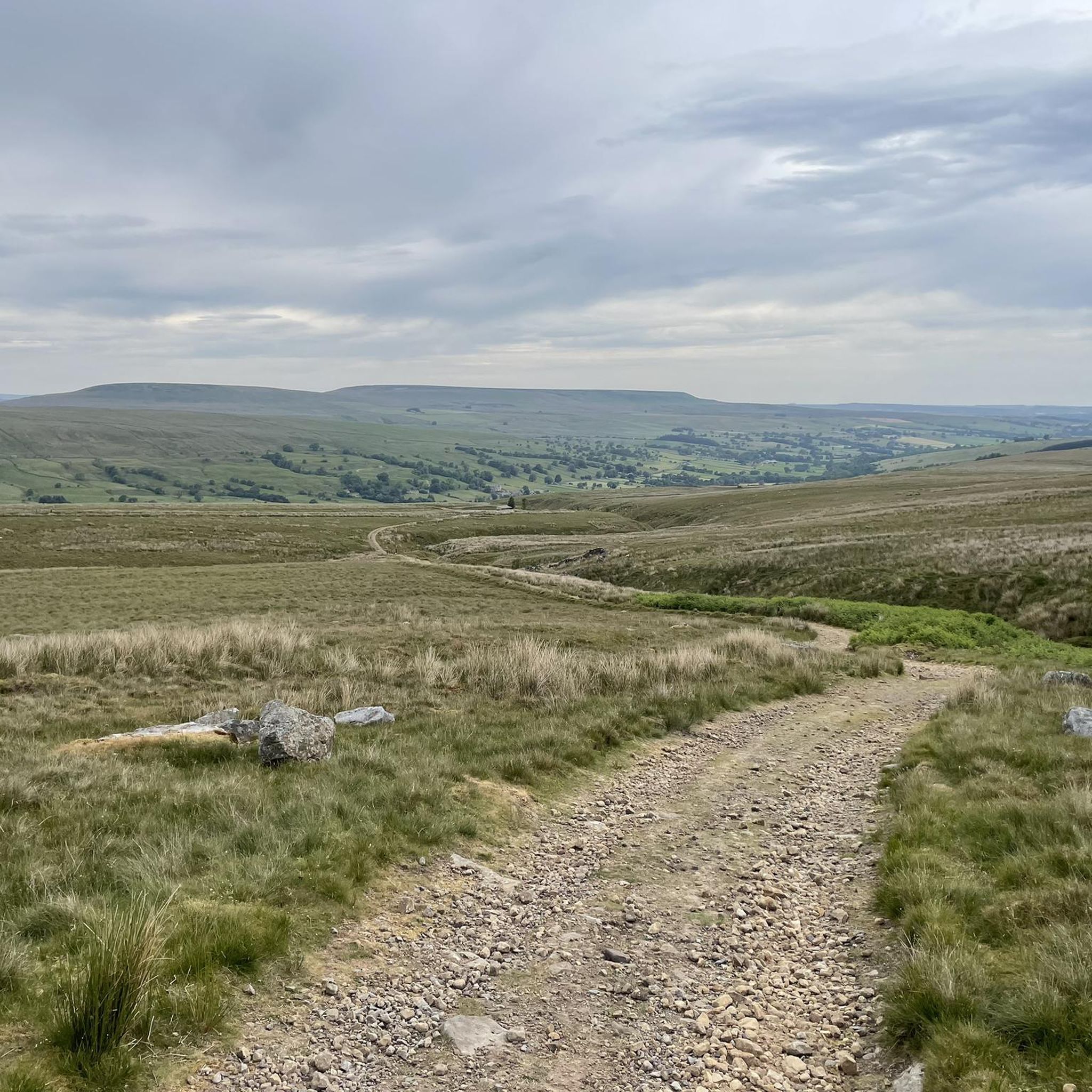
Road Cycling Routes around Carlton Highdale
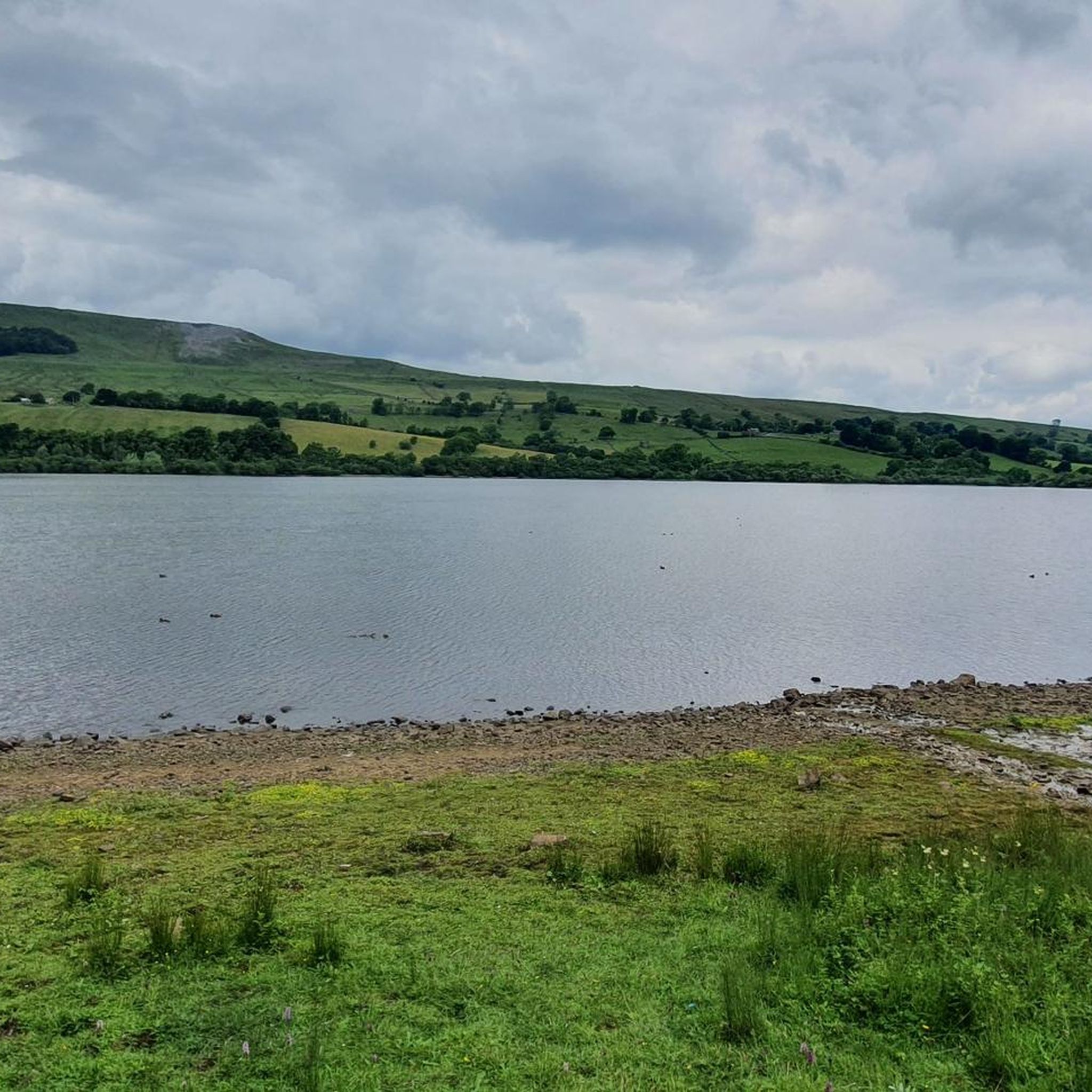
Road Cycling Routes around Semer Water
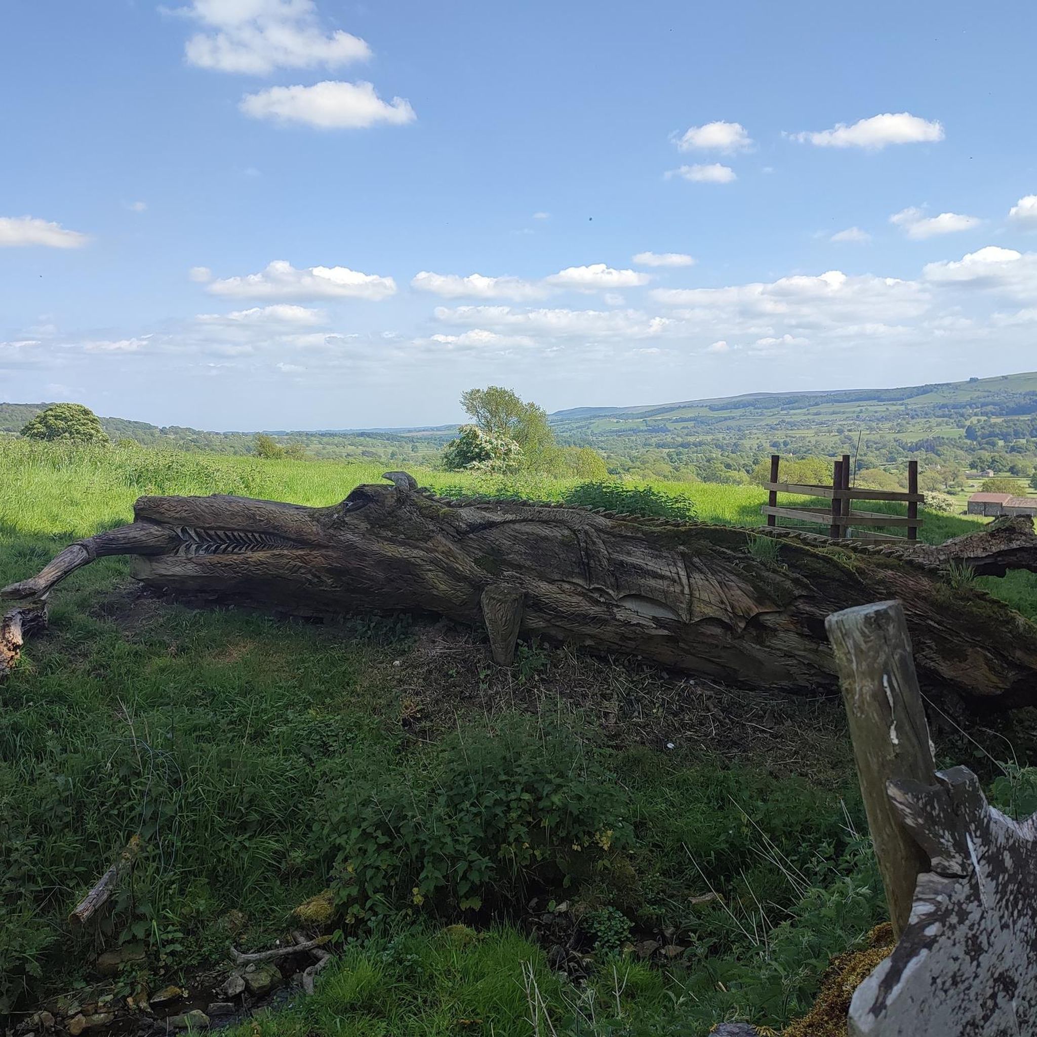
Road Cycling Routes around Redmire
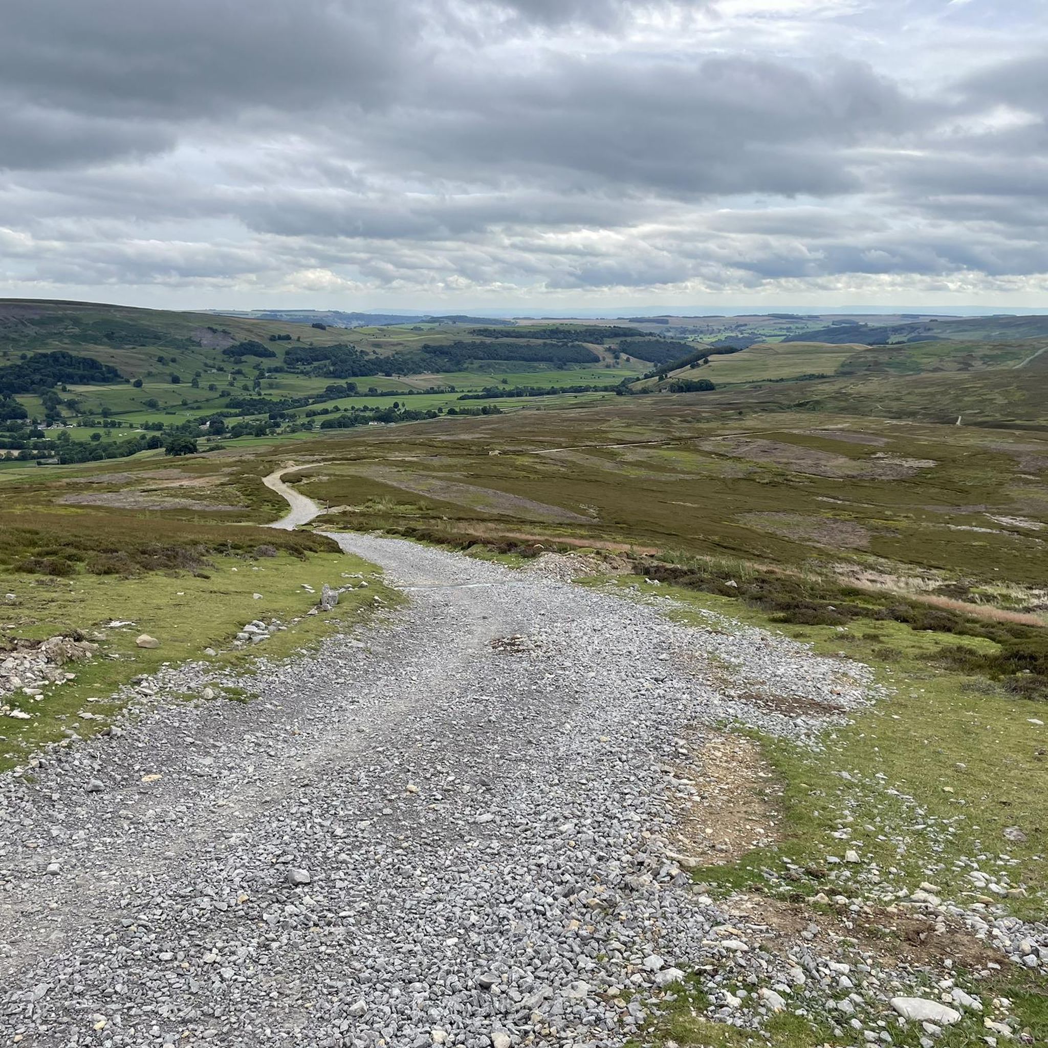
Road Cycling Routes around Grinton
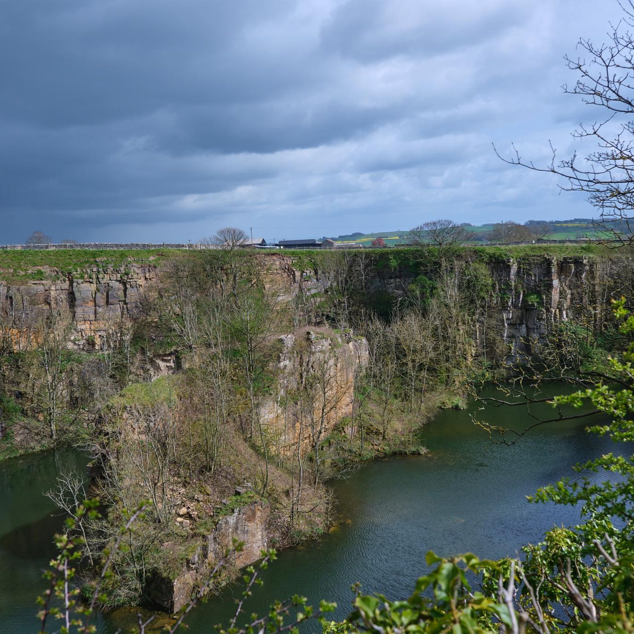
Road Cycling Routes around Harmby
Other adventures around Richmondshire


Tips from the Community

Tough sustained climb with a very steep section.
0
0

Brutal. Go around the wrong side of the road and plead forgiveness to the motorists (good luck with that). Take care coming down. With lots of gravel on the road
0
0


One of the largest and most open village greens in the Yorkshire Dales, historically used for markets, fairs, and livestock trading — the social heart of Swaledale long before tourism arrived. The green’s broad, triangular shape reflects its medieval origins as a common grazing and gathering space. Plenty of parking around the village green, but having arrived at 7am in winter for a hike and finding them all full, I suspect other times of the year will be even more difficult to secure a space.
2
0
A classic stretch of high Pennine moorland, shaped by centuries of lead‑mining, with old hushes, spoil heaps, and trackways still etched into the heather. The moor forms part of the Reeth–Grinton–Harkerside upland block, giving wide, open views over Swaledale. Spectacular under a layer of snow in winter.
1
0

A wonderful village on the Coast to Coast Path. There are plenty of places to stay around the village green. The village youth play football on the lawn, including the very young ones. Very nice!
1
0


Gears 34 x 34 . Keep to outside of bend. Pace yourself
0
0
Frequently Asked Questions
How many road cycling routes are available in Richmondshire?
Richmondshire offers a wide variety of road cycling routes, with over 450 tours available on komoot. These routes cater to different fitness levels, ranging from moderate to difficult, ensuring there's something for every road cyclist.
What types of terrain can I expect on road cycling routes in Richmondshire?
Road cycling in Richmondshire, particularly within the Yorkshire Dales National Park, features diverse terrain. You'll encounter rolling hills, deep river valleys, and challenging climbs such as The Stang, Buttertubs Pass, and Fleet Moss. While some routes offer more leisurely rides along tranquil riverbanks, many provide exhilarating experiences on narrow country lanes with significant elevation gains.
Are there any easy or beginner-friendly road cycling routes in Richmondshire?
While many routes in Richmondshire are moderate to difficult, there are approximately 110 routes classified as easy. For those preferring more leisurely rides, areas like Wensleydale offer tranquil riverbanks and picturesque market towns, providing a gentler introduction to the region's beauty.
What are some of the most challenging road cycling routes in Richmondshire?
For experienced cyclists seeking a challenge, Richmondshire offers several demanding routes. Consider the Richmond loop to Buttertubs Pass, known for its steep ascents and panoramic views. Another difficult option is the Oxnop to Crow Trees Descent – Grinton Moor loop from Middleham, which includes significant climbs and descents.
When is the best time of year for road cycling in Richmondshire?
The best seasons for road cycling in Richmondshire are spring (April-May) and summer (June-August) when the weather is generally more favorable and the landscapes are vibrant. Autumn (September-November) also offers a magical experience as the foliage transforms into golden and red hues, though weather can be more unpredictable.
Are there any circular road cycling routes in Richmondshire?
Yes, many of the road cycling routes in Richmondshire are designed as loops, allowing you to start and finish in the same location. Examples include the popular Wensleydale & Swaledale loop from Bainbridge and The Stang & Richmond loop from Reeth.
What interesting landmarks or attractions can I see along the road cycling routes?
Richmondshire's routes often pass by significant natural and historical attractions. You can cycle past the picturesque Aysgarth Lower Falls or Aysgarth Middle Falls, and even the challenging Buttertubs Pass Climb offers stunning views. Historical sites like Richmond Castle and Bolton Castle are also within the region and can be incorporated into your tours.
Are there places to stop for refreshments or food along the routes?
Yes, you'll find options for refreshments. The region is home to the Tan Hill Inn, Britain's highest pub, which can be reached via a challenging route from Reeth. The Dales Bike Centre in Fremington also offers a cafe, and market towns like Richmond and Leyburn provide various eateries.
What do other road cyclists enjoy most about cycling in Richmondshire?
The road cycling routes in Richmondshire are highly rated by the komoot community, with an average score of 4.6 stars from over 150 reviews. Cyclists often praise the stunning and diverse landscapes, the challenging climbs, and the rewarding panoramic views across the Yorkshire Dales.
Can I find long-distance road cycling routes in Richmondshire?
Yes, Richmondshire offers several long-distance routes for those looking to cover more ground. For example, the Richmond loop to Buttertubs Pass is a challenging 52.7-mile (84.8 km) path, and the Beadale and River Tees loop from Richmond is another substantial moderate ride.
Are there any routes that explore both Wensleydale and Swaledale?
Absolutely. The Wensleydale & Swaledale loop from Bainbridge is a popular route that traverses both prominent dales, offering varied scenery and significant elevation, allowing you to experience the distinct characteristics of each valley.
Most popular routes around Richmondshire
Most popular attractions around Richmondshire

Get inspired with the komoot mobile app


Didn’t find what you were looking for?
Check out more Road cycling routes throughout Richmondshire below and find the perfect route in your destination.
Explore more
Browse the best Road cycling routes in other regions.
