The best cycling routes around Waldbach-Mönichwald
4.7
(16)
236
riders
22
rides
Touring cycling routes around Waldbach-Mönichwald are set within the Hartberg-Fürstenfeld district of Austria, characterized by the prominent Hochwechsel mountain. The region features a landscape of forests, rolling hills, and clear streams, with alpine terrain around Hochwechsel. Cyclists will find diverse river valleys and wooded hills throughout the broader Eastern Styria and Joglland regions.
Best touring cycling routes around Waldbach-Mönichwald
- The most popular touring cycling route is Hochwechsel – Rabl-Kreuz-Hütte loop from Mönichwald, a 23.9 miles (38.4 km) trail that…
Last updated: October 5, 2026
5.0
(3)
76
riders
38.4km
03:33
1,270m
1,270m
Hard bike ride. Very good fitness required. Mostly paved surfaces. Suitable for all skill levels.
4.8
(4)
42
riders
27.1km
02:49
1,160m
1,160m
Hard bike ride. Very good fitness required. Mostly paved surfaces. Suitable for all skill levels.

4.0
(2)
16
riders
30.0km
02:06
570m
570m
Hard bike ride. Very good fitness required. Mostly paved surfaces. Suitable for all skill levels.
15
riders
13.4km
01:28
550m
550m
Hard bike ride. Very good fitness required. Mostly paved surfaces. Suitable for all skill levels.
9
riders
40.4km
02:41
570m
570m
Hard bike ride. Very good fitness required. Mostly paved surfaces. Suitable for all skill levels.
Get access to more routes and recommendations from other explorers.
Already have an account?
Our route recommendations are based on thousands of hikes, rides, and runs completed by other people on komoot.
Start today with a free account
Your next adventure awaits.
Popular around Waldbach-Mönichwald
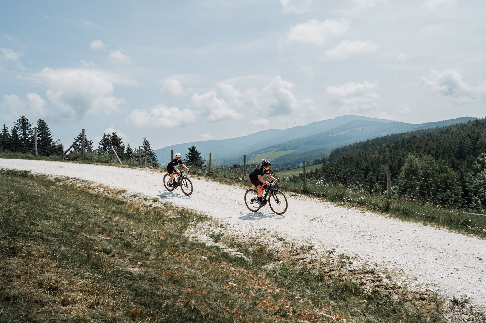
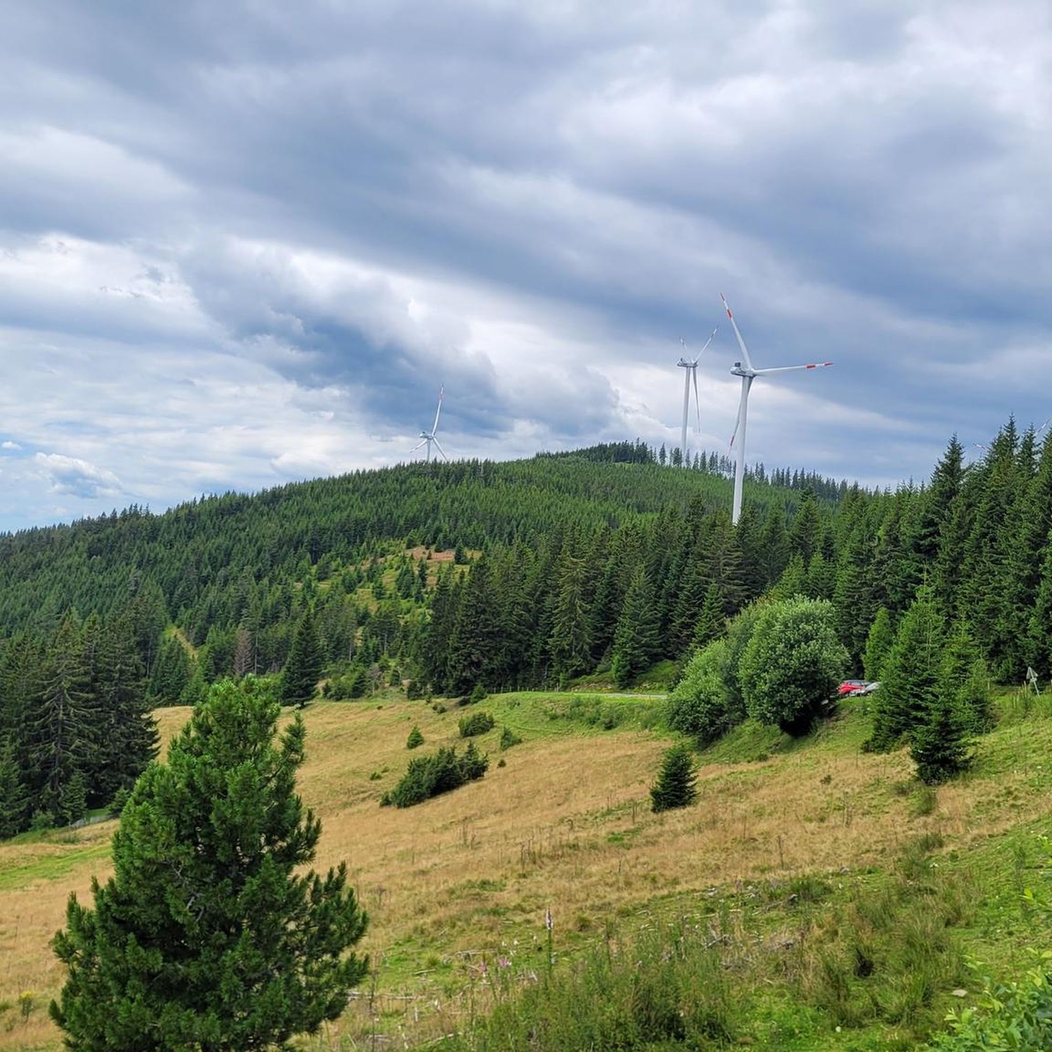
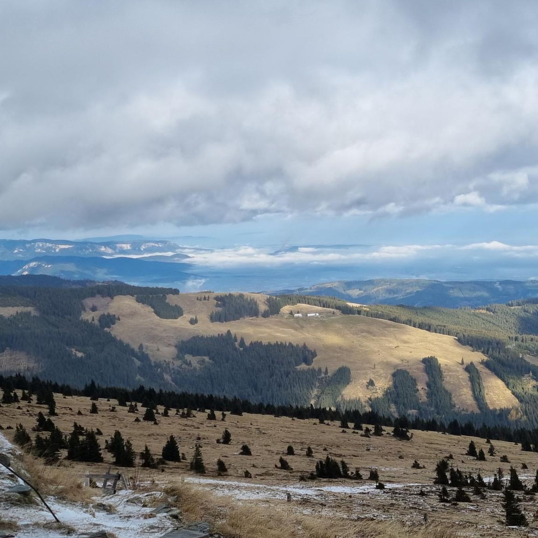

Other adventures around Waldbach-Mönichwald

Tips from the Community

The border stone on the Grünberg marks a transition between Lower Austria and Styria. It lies directly on the state border and is a small, but interesting landmark along the hiking route. An inconspicuous detail on the path that makes it visible that you are switching from one federal state to another here.
3
0
The large wooden „W“ stands directly on the Hochwechsel and marks the start of the Hochwechsel Trail „The WU“. It serves as a kind of gateway to the mountain bike trail, which leads from here across the alpine pasture in the direction of Marienseer Schwaig. Due to its striking shape, the „W“ is now also a distinctive photo motif directly on the Hochwechsel.
3
0
The Wetterkoglerhaus is located directly on the summit of the Hochwechsel at 1,743 meters and is a hut of the Austrian Alpine Club. With good visibility, the hut offers a magnificent panorama over the Wechsel region to Schneeberg, Rax, and Hochschwab. Due to its immediate proximity to the summit cross and chapel, the Wetterkoglerhaus is an ideal resting and refreshment stop at the highest point of the tour.
4
0
„The WU“ is an approximately 2.7-kilometer-long singletrail that leads from the Hochwechsel near the Wetterkoglerhaus across the alpine pasture in the direction of Marienseer Schwaig. Over roots, stones, curves, and open alpine meadows, the trail runs through a particularly scenic landscape of the Wechsel region. It is actually designed as a mountain bike trail; therefore, at intersections, special attention must be paid to cyclists and other trail users.
3
0

Portions are actually quite large. (Appetizers) 99% regional products. The business and the restaurant are run with real passion! You can see and taste it.
0
0

A super nice tour highly recommended, with drinks machine
3
0

"Three crossbeams ... are the typical feature of weather crosses. In earlier centuries they were erected by farmers who hoped to gain heavenly protection from lightning, storms and hailstorms." (Text source: Hans-Joachim Löwer in "Summit crosses. Dreams, triumphs, tragedies")
0
0

Great swimming lake for cooling off in between!
1
0
Frequently Asked Questions
How many touring cycling routes are available in Waldbach-Mönichwald?
There are over 20 touring cycling routes around Waldbach-Mönichwald, offering a variety of experiences. While many are challenging, there are also moderate options for those seeking a less strenuous ride.
What kind of terrain can I expect on touring cycling routes in Waldbach-Mönichwald?
The region offers diverse terrain, from picturesque forests and rolling hills to the alpine landscape around the Hochwechsel mountain. Many routes feature mostly paved surfaces, ideal for traditional touring bikes, while others might include forest roads or well-maintained trails.
Are there any easy touring cycling routes suitable for beginners or families?
While many routes in Waldbach-Mönichwald are rated as difficult due to significant elevation changes, there are a few moderate options available. The region research mentions shorter routes with lower elevation gains on paved roads that are suitable for all skill levels. For example, the Zeil Bridge – Thalberg Castle loop from Mönichwald is a difficult route but has less elevation gain compared to the mountain ascents.
What are some notable landmarks or attractions I can see along the touring cycling routes?
Many routes offer views of the majestic Hochwechsel mountain. You can also find traditional huts like the Rabl-Kreuz-Hütte and the Wetterkogler House, which often serve as welcome stops. The region also features the Recreational Lake Mönichwald and the historic Mönichwald Castle.
Are there any circular touring cycling routes in the area?
Yes, many of the touring cycling routes in Waldbach-Mönichwald are circular. Examples include the challenging Hochwechsel – Rabl-Kreuz-Hütte loop from Mönichwald, the Wetterkogler House – Hochwechsel loop from Mönichwald, and the Weather crosses – Waldbach loop from Mönichwald.
What is the best time of year for touring cycling in Waldbach-Mönichwald?
The region is generally best enjoyed for outdoor activities during spring, summer, and autumn. These seasons offer pleasant weather for cycling, allowing you to fully appreciate the scenic beauty of the forests, rolling hills, and mountain views.
What do other touring cyclists enjoy the most about touring cycling in Waldbach-Mönichwald?
The area is highly rated by the komoot community, with an average score of 4.8 stars from over 13 reviews. Reviewers often praise the diverse landscapes, from serene forests to challenging mountain ascents, and the well-maintained paths that make for a rewarding touring experience.
Are there challenging routes for experienced touring cyclists?
Absolutely. For experienced touring cyclists seeking a challenge, routes ascending the Hochwechsel mountain offer significant elevation gains. The Hochwechsel – Rabl-Kreuz-Hütte loop from Mönichwald, for instance, covers 38.4 km with over 1,270 meters of ascent.
Can I find places to eat or stay along the cycling routes?
Yes, the region is known for its traditional inns and guesthouses, which provide good food and a welcoming atmosphere. Huts like the Wetterkoglerhaus on the Hochwechsel summit also offer refreshments and sometimes accommodation, serving as convenient stops during longer tours.
Are there any routes that offer panoramic views?
Many routes, especially those ascending the Hochwechsel mountain, provide stunning panoramic views. From the summit, you can often see as far as Vienna and Neusiedlersee. The Wetterkogler House – Hochwechsel loop from Mönichwald is a prime example, offering expansive vistas.
Is there parking available near the touring cycling routes?
While specific parking locations for each route are not detailed here, Waldbach-Mönichwald is generally cyclist-friendly, and you can typically find parking in the main villages or at trailheads, especially near popular starting points for tours.
Are there any specific road bike routes in the Waldbach-Mönichwald area?
Yes, beyond general touring routes, the region offers specific road bike routes. Examples mentioned in regional research include the "Kreuzwirtrunde" (44.6 km with 641m ascent) and the "Rieglerviertelrunde" (36.1 km with 823m ascent), which are explicitly categorized for road cycling.
Most popular routes around Waldbach-Mönichwald
Most popular attractions around Waldbach-Mönichwald

Get inspired with the komoot mobile app


Explore more
Browse the best Cycling routes in other regions.
