The best walks and hikes around Trøgstad
4.6
(24)
121
hikers
23
hikes
Hiking around Trøgstad offers diverse natural landscapes, characterized by forests, the Glomma river, and a distinctive ravine landscape near Lake Øyern. The region features significant lakes such as Øyern and Hemnessjøen, providing scenic views and varied ecosystems. Trøgstad also encompasses nature reserves like Strønes Edelløvskogsreservat and Kallakmosen, known for their biodiversity and unique geological formations from the ice age. The terrain includes hills and higher peaks, with elevations reaching up to 331 meters above sea level at Viktjernhøgda.
Best hiking…
Last updated: October 12, 2026
3.0
(1)
13
hikers
5.39km
01:24
40m
40m
Easy hike. Great for any fitness level. Easily-accessible paths. Suitable for all skill levels.
5.0
(1)
2
hikers
6.63km
01:56
160m
160m
Easy hike. Great for any fitness level. Easily-accessible paths. Suitable for all skill levels.

4.0
(2)
1
hikers
12.0km
03:16
180m
180m
Moderate hike. Good fitness required. Easily-accessible paths. Suitable for all skill levels.
1
hikers
2.21km
00:35
20m
20m
Easy hike. Great for any fitness level. Easily-accessible paths. Suitable for all skill levels.
4.9
(7)
15
hikers
7.35km
01:56
60m
60m
Easy hike. Great for any fitness level. Easily-accessible paths. Suitable for all skill levels.
Get access to more routes and recommendations from other explorers.
Already have an account?
Our route recommendations are based on thousands of hikes, rides, and runs completed by other people on komoot.
Start today with a free account
Your next adventure awaits.
Tips from the Community

This floodlit forest trail passes through the woodlands surrounding Høytorp Fortis and it's popular year-round for walking, trail running and cross-country skiing.
0
0
Completed in 1915, Høytorp Fort is Norway’s largest inland fortification and was built to defend the country’s eastern border. Today, visitors can explore its well-preserved bunkers, tunnels, gun emplacements and historic military buildings set within a peaceful forest landscape.
0
0

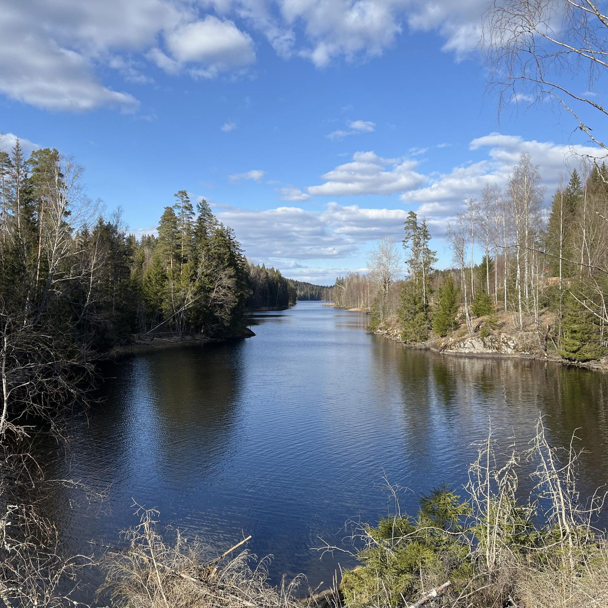
Havnås is a small rural municipality not far from the Swedish border. It lies on the shores of Lake Grefslisjøen. It is a lovely place to unwind.
0
0
Havnås has plenty of small hamlets in its eastern part. Delingsrundveien is a quiet, unpaved road with an uneven surface that leads to them, including the hamlet of the same name, Delingsrund. From there, the walking trails begin, taking you deep into the forests.
0
0
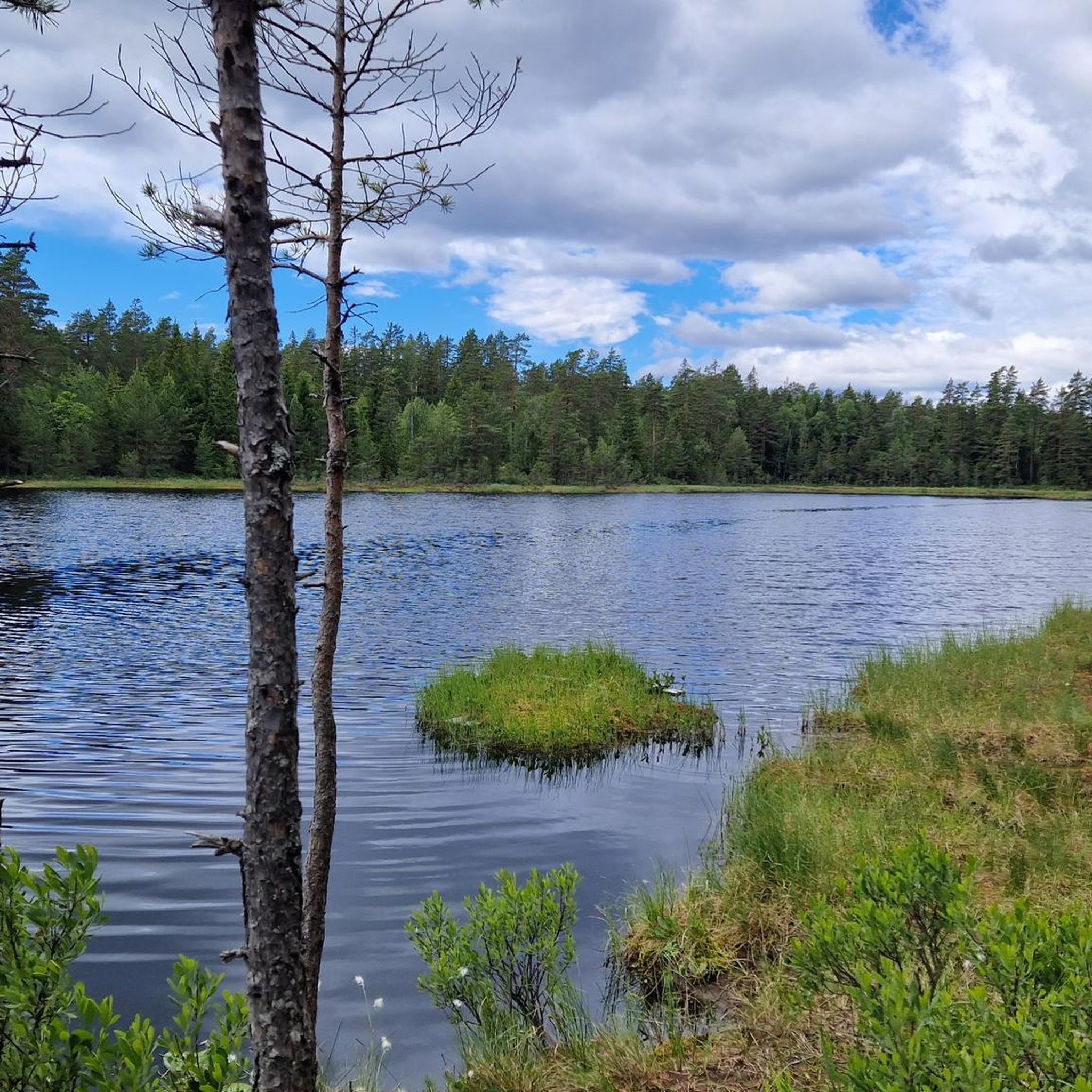
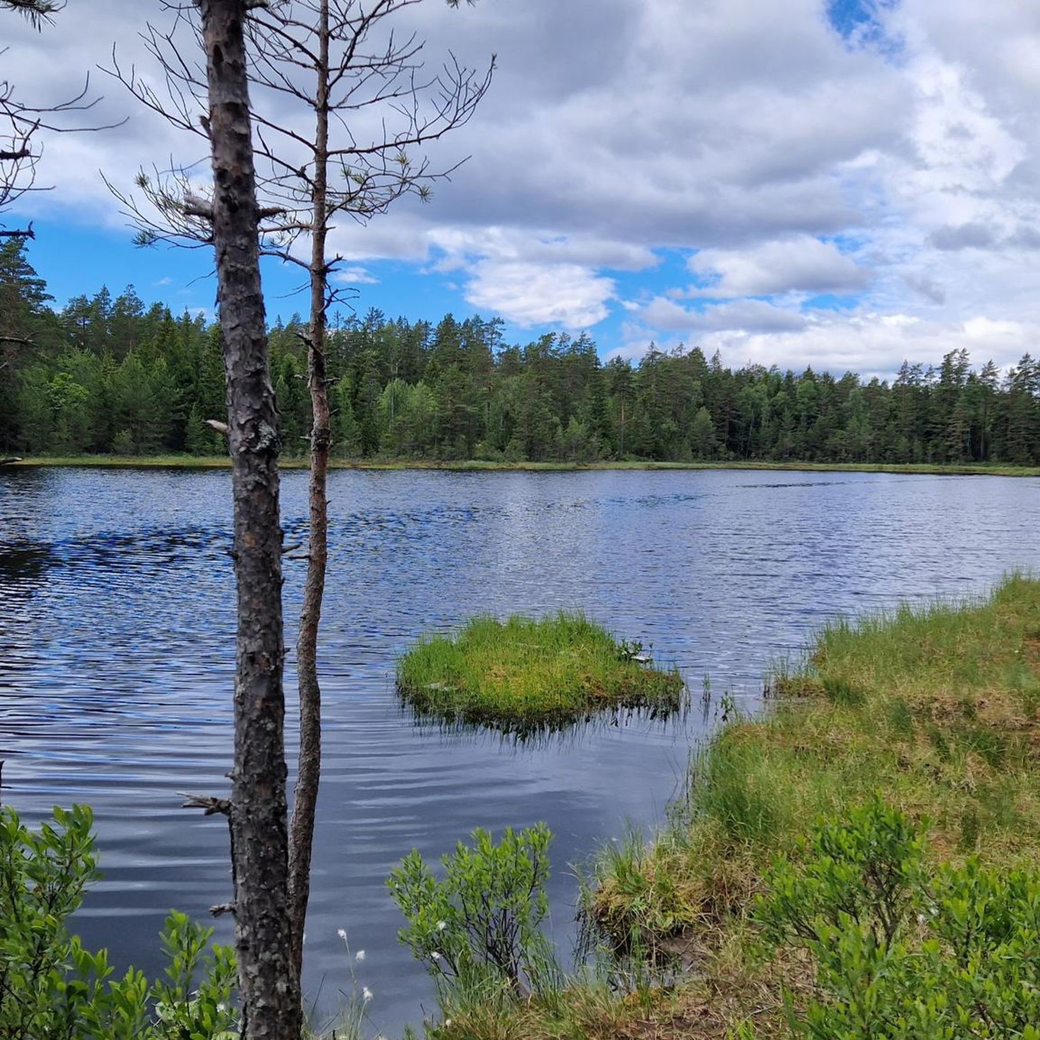
This region is dotted with lakes set amidst the forest, such as Damtjern, Kulpa and Krokvannet. As well as winding its way through the trees, this path runs along a narrow strip of land that cuts between the lakes.
0
0

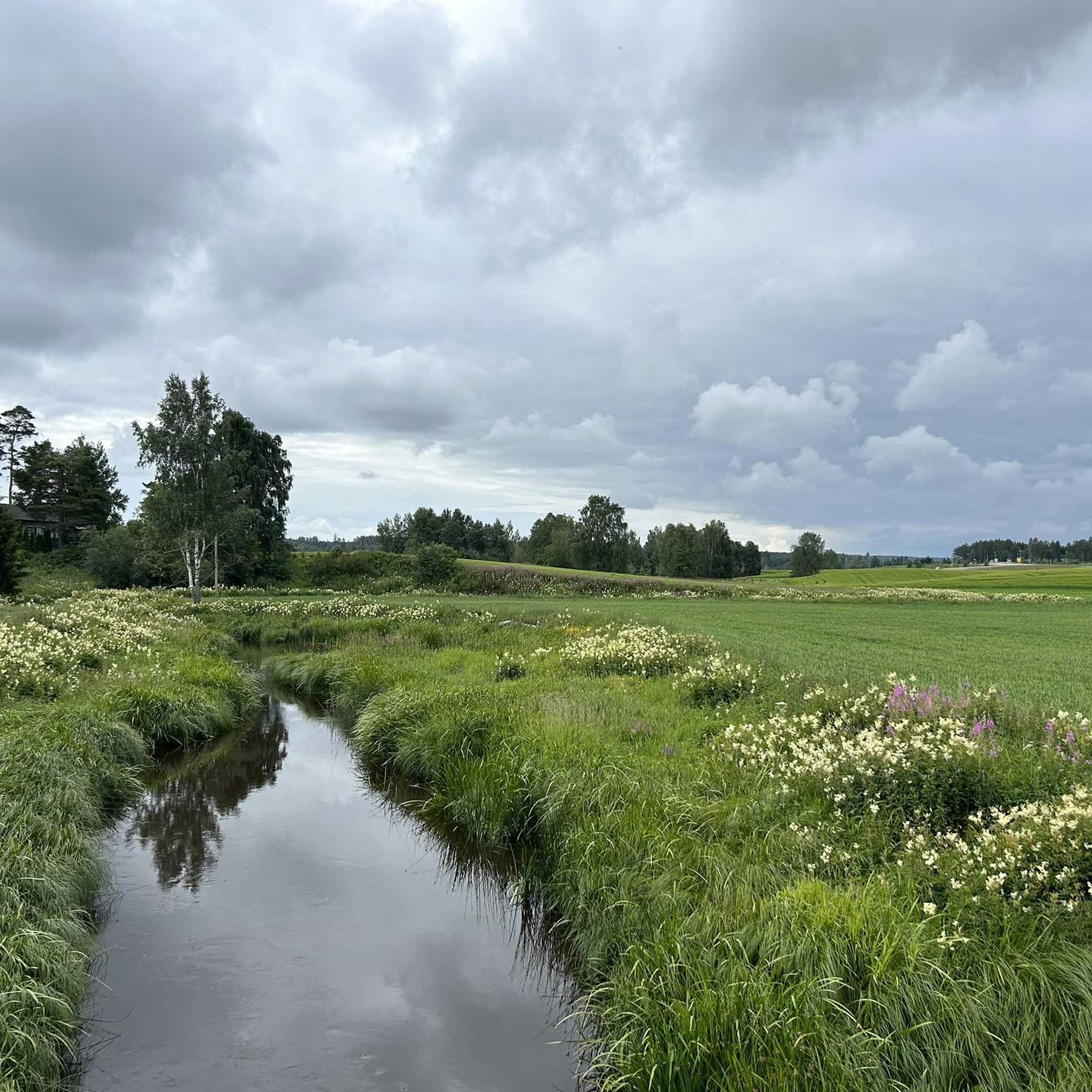
Lovely picnic spot in the bends of the Hæra. Perfect for a short break.
0
0
On the Helsestien trail, you cross the Hæra stream several times – always over pretty little bridges.
0
0

Viktjernhøgda is the highest point in the Indre Østfold municipality, offering a quintessential highland experience. The summit area is characterized by a mix of dense forest and open rocky ground, providing a sense of elevation and seclusion.
0
0
Frequently Asked Questions
How many hiking trails are available in Trøgstad?
Trøgstad offers a variety of hiking opportunities, with over 15 routes documented on komoot. These trails cater to different preferences, ranging from easy strolls to more moderate excursions through the diverse landscapes of the region.
What kind of natural landscapes can I expect to see while hiking in Trøgstad?
Trøgstad is characterized by a beautiful cultural landscape, extensive forests, and its proximity to the Glomma river. You'll encounter significant lakes like Øyern and Hemnessjøen, offering scenic views. The region also features a distinctive ravine landscape, a geological formation from the ice age, particularly near Lake Øyern, known for its rich biodiversity.
Are there any easy hiking trails suitable for beginners or families in Trøgstad?
Yes, Trøgstad has several easy trails perfect for beginners or families. For example, the Lysefjell – View of the lake loop from Myrberg is an easy 7.4 km route that takes less than two hours to complete and offers lovely lake views. Another option is the View of the lake – Lysefjell loop from Lyseren, a 5.9 km trail with lake views.
Are dogs allowed on hiking trails in Trøgstad?
Generally, dogs are welcome on many trails in Trøgstad. Specifically, the trails around Trøgstad Fort, including 'Turstien,' permit dogs. It's always advisable to keep dogs on a leash, especially in nature reserves or during nesting seasons, and to check local regulations for specific areas.
What are some notable viewpoints or landmarks I can find on hikes in Trøgstad?
Trøgstad offers several impressive viewpoints. You can hike to Østfold's highest peak, Viktjernhøgda (331 meters), which is part of the Trøgstadstien trail. Another high point is Oppskott (302 meters), where a lookout tower provides panoramic views. For historical interest, Trøgstad Fort itself is a significant landmark with hiking opportunities. Additionally, you can find highlights like the View of Lake Øyeren from the West Side.
Are there any circular hiking routes in Trøgstad?
Yes, many of the trails in Trøgstad are designed as circular routes, allowing you to start and end at the same point. Examples include the Lysefjell – View of the lake loop from Myrberg, the Hauglandsfjellet – Lysefjell loop from Myrberg, and the View of the lake loop from Myrberg.
What is the best time of year to go hiking in Trøgstad?
The best time for hiking in Trøgstad is typically from spring through autumn when the weather is mild and the trails are clear. The diverse landscapes, including forests and lake areas, are particularly beautiful during these seasons. While winter hiking is possible, specific tips for conditions and gear would be needed.
What kind of wildlife can I expect to see while hiking in Trøgstad?
Trøgstad's nature reserves and wetlands are rich in wildlife. Strønes Edelløvskogsreservat is known for its diverse bird and wildlife, while Kallakmosen naturreservat is an extensive marsh area with typical bird life. Hæra naturreservat, with its wetlands and small lakes, is important for migrating birds like cranes, swans, and geese. Moose safaris are also offered in the area, indicating a presence of moose.
What do other hikers enjoy most about hiking in Trøgstad?
The komoot community highly rates hiking in Trøgstad, with an average score of 4.9 stars. Hikers often praise the varied terrain, the beautiful cultural landscape, and the scenic views of the lakes and forests. The well-marked trails and the peaceful atmosphere are also frequently highlighted.
Are there any long-distance hiking trails in Trøgstad?
Yes, the Trøgstadstien is a significant signposted hiking trail that traverses much of Trøgstad. It spans approximately 28 km, from Grorudfjell in the north to Torpertjern in the south, with plans for further extension. This trail offers a comprehensive way to experience the area's natural beauty and includes campsites along its route.
Are there any historical sites to explore near the hiking trails?
Absolutely. Besides Trøgstad Fort, a historic mountain fort completed in 1917, you can find other interesting historical attractions nearby. These include the Old Fossum Bridge, the Solbergfoss Hydroelectric Power Station, and the Glomma Suspension Bridge.
Most popular routes around Trøgstad
Most popular attractions around Trøgstad

Get inspired with the komoot mobile app


Explore more
Browse the best Hikes in other regions.
