The best walks and hikes around Stjørdal
4.4
(196)
1,003
hikers
23
hikes
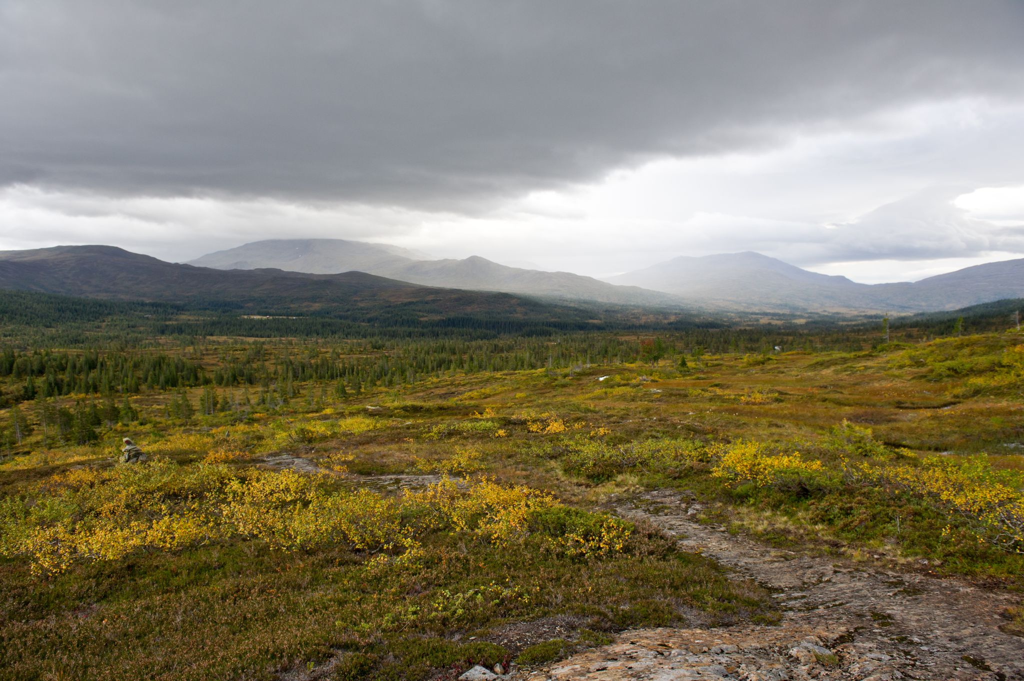
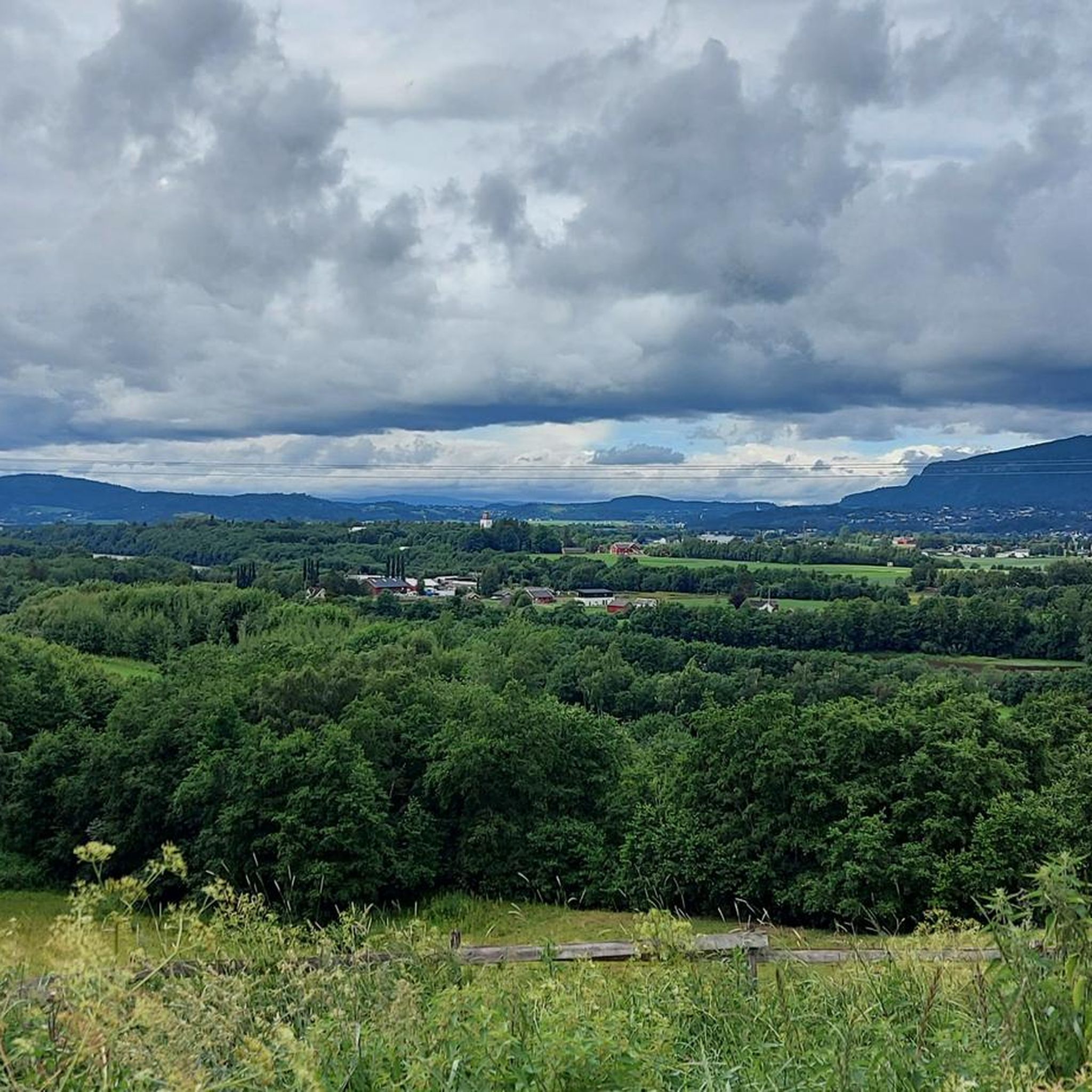
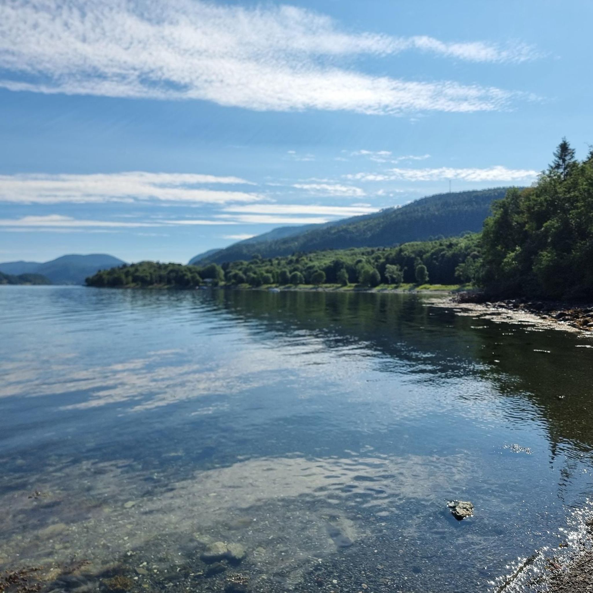
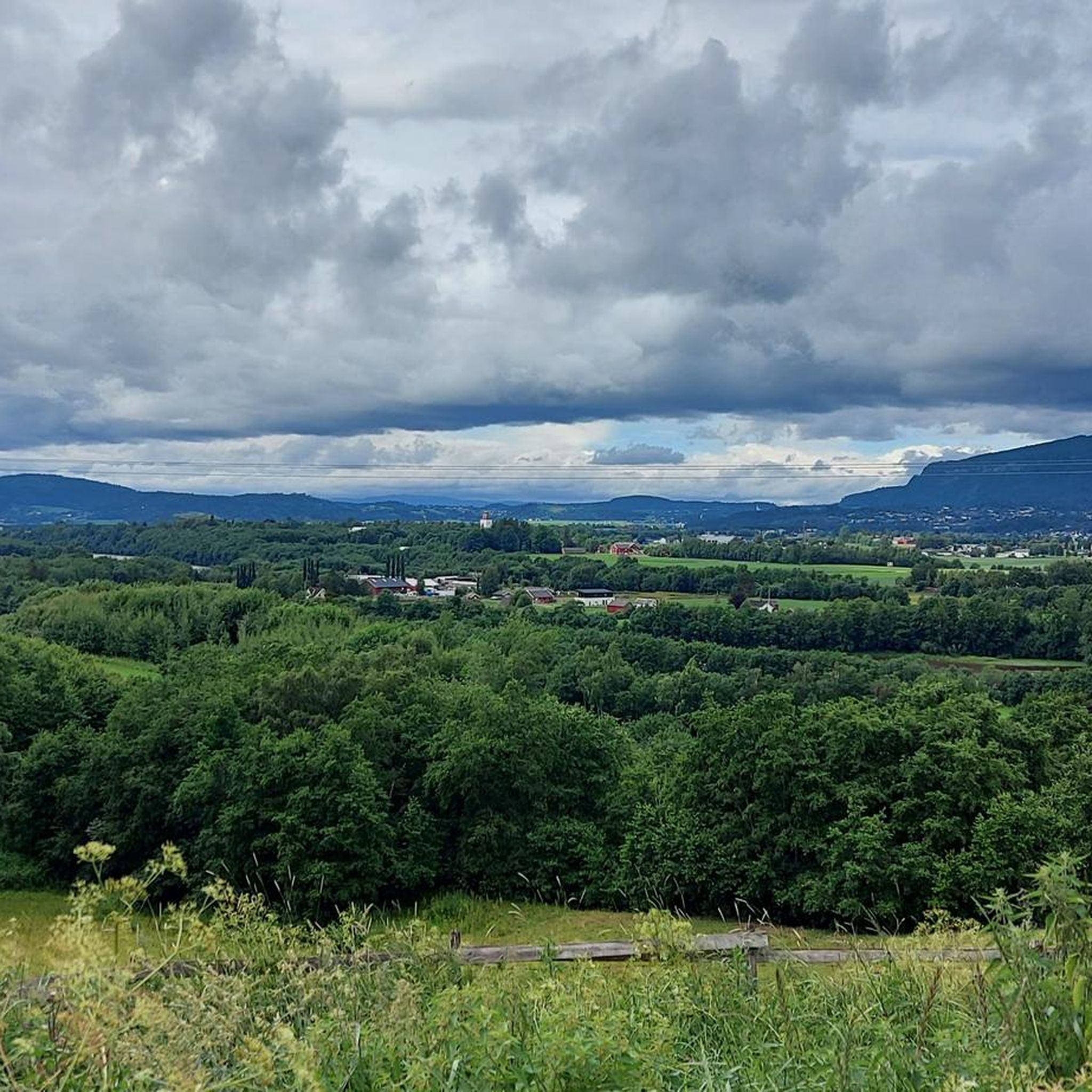
Hiking around Stjørdal offers diverse landscapes ranging from coastal areas along the Trondheim Fjord to forested hills and mountain peaks. The region features well-marked paths through lush woodlands, past historical sites like Hegra Fortress, and alongside impressive waterfalls such as Storfossen. Hikers can explore rolling hills, pristine lakes, and challenging mountain terrain, providing varied experiences for different skill levels.
Best hiking trails around Stjørdal
- The most popular hiking route is Forbordsfjellet loop - Stjørdal, a 5.2 miles (8.3 km) trail that takes 2 hours 57 minutes to complete. This moderate route features well-marked paths through forests, leading to panoramic views of the Trondheim Fjord from its summit.
- Another top favourite among local hikers is Hessjøen loop - Stjørdal, an easy 4.5 miles (7.2 km) path. This trail winds through areas characterized by pristine lakes and rolling hillsides.
- Local hikers also love the Storskarven loop from Flora, a 10.5 miles (16.9 km) trail leading through high peaks and narrow valleys, often completed in about 5 hours 42 minutes.
- Hiking around Stjørdal is defined by Trondheim Fjord views, lush forests, and significant waterfalls. The network offers options for easy strolls, moderate forest paths, and more challenging mountain ascents.
- The routes in Stjørdal are highly rated by the komoot community with an average score of 4.2 stars from more than 170 reviews. More than 900 hikers have used komoot to explore Stjørdal's varied terrain.
Last updated: August 19, 2026
4.9
(9)
54
hikers
8.31km
02:57
480m
480m
Moderate hike. Good fitness required. Easily-accessible paths. Suitable for all skill levels.
4.7
(3)
13
hikers
7.19km
01:55
80m
80m
Easy hike. Great for any fitness level. Easily-accessible paths. Suitable for all skill levels.

Sign up for free
5.0
(1)
8
hikers
3.71km
01:09
140m
140m
Easy hike. Great for any fitness level. Easily-accessible paths. Suitable for all skill levels.
14.3km
04:16
440m
440m
Moderate hike. Good fitness required. Easily-accessible paths. Suitable for all skill levels.
1
hikers
6.39km
01:38
20m
20m
Easy hike. Great for any fitness level. Easily-accessible paths. Suitable for all skill levels.
Get access to more routes and recommendations from other explorers.
Sign up for free
Already have an account?
Our route recommendations are based on thousands of hikes, rides, and runs completed by other people on komoot.
Start today with a free account
Your next adventure awaits.
Login or Signup
Other adventures around Stjørdal

Tips from the Community

This Catholic church was built of white stone in the 12th century. It is one of around 300 churches that were used as polling stations for the Norwegian Constituent Assembly in 1814.
0
0
This short trail runs alongside the Stjørdaselva, offering a picturesque setting for a stroll. The perfect place to get away from daily life.
0
0
Mælen Bridge is situated in Prestmoen. As well as serving as a road bridge, it offers a beautiful view of the Stjørdaselva.
0
0

The loop starts directly at the parking lot next to the railway crossing in Eidum and leads you through varied terrain above the Stjørdal valley. The entrance is steep, after which the path becomes more accessible and winds through forest and open terrain. Along the way, you will pass Spigiln, the most popular viewpoint in the municipality, with a shelter and benches for a short rest.
0
0

Blåbærberga rises gently above the surrounding landscape, offering open views across rolling hills, forested slopes, and scattered lakes. The terrain here is a mix of rocky outcrops and natural trail surfaces, with soft ground and occasional uneven sections that add character to the route.
0
0

This section of path can be used to loop around Hessjøen, a lovely little lake. The trails are beautiful at any hour, but sunset is particularly lovely here.
0
0
The trail to Hessjøen makes use of boardwalks. From the path, you can appreciate the unspoilt beauty of the region and its resident wildlife.
0
0
Frequently Asked Questions
How many hiking trails are available around Stjørdal?
Stjørdal offers a diverse network of over 20 hiking routes. These range from easy strolls through rolling hills to more challenging mountain ascents, catering to various skill levels and preferences.
Are there easy hiking trails suitable for families or beginners in Stjørdal?
Yes, Stjørdal has several easy trails perfect for families and beginners. For example, the Hessjøen loop - Stjørdal is an easy 7.2 km path winding through areas characterized by pristine lakes and gentle hillsides. There are 9 easy routes in total.
What are some challenging hikes for experienced trekkers in Stjørdal?
For experienced hikers seeking a challenge, Stjørdal offers routes with significant elevation gain and longer distances. The Storskarven loop from Flora is a demanding 16.9 km trail leading through high peaks and narrow valleys, typically taking over 5 hours to complete. There are 2 difficult routes available.
Are there any circular hiking routes in Stjørdal?
Yes, many of the trails in Stjørdal are circular, allowing you to start and end at the same point. A popular option is the Forbordsfjellet loop - Stjørdal, a moderate 8.3 km route that offers panoramic views of the Trondheim Fjord from its summit.
What natural attractions or landmarks can I see while hiking in Stjørdal?
Stjørdal's hiking trails often lead to impressive natural and historical sites. You can discover spectacular waterfalls like Storfossen Waterfall, one of Trøndelag's largest, or the rustic Dølanfossen Waterfall. Historical sites such as Hegra Fortress also offer panoramic views alongside their rich past.
What do other hikers enjoy most about hiking in Stjørdal?
The hiking routes in Stjørdal are highly rated by the komoot community, with an average score of 4.2 stars from over 170 reviews. Hikers frequently praise the diverse landscapes, from Trondheim Fjord views to lush forests and impressive waterfalls, as well as the well-marked paths.
Can I hike with my dog in Stjørdal?
Many trails in Stjørdal are suitable for hiking with dogs, provided they are kept on a leash, especially during nesting seasons or near livestock. It's always recommended to check local regulations for specific areas or nature reserves before you go.
Are there opportunities for winter hiking in Stjørdal?
While the region is beautiful in winter, conditions can vary. Some trails may be suitable for snowshoeing or cross-country skiing, but others might be challenging due to snow and ice. Always check local weather forecasts and trail conditions before attempting a winter hike.
Are there any trails that offer views of the Trondheim Fjord?
Absolutely. Many trails in Stjørdal provide stunning views of the Trondheim Fjord. The Forbodsfjellet Summit View – Views from Forbordsfjellet loop from Skatval is a great example, leading to panoramic vistas overlooking the fjord from the summit of Forbordsfjellet.
What is the best time of year to go hiking in Stjørdal?
The best time for hiking in Stjørdal is generally from late spring to early autumn (May to September), when the weather is milder, and trails are clear of snow. This period offers lush greenery, blooming wildflowers, and comfortable temperatures for exploring the diverse landscapes.
Are there any historical sites accessible via hiking trails?
Yes, you can combine hiking with historical exploration. Hegra Fortress is a notable historical site that offers trails around its ruins, providing both a glimpse into the past and scenic views of the surrounding countryside. The St. Olavsleden pilgrim route also passes through Stjørdal, offering a chance to traverse cultural landscapes.
Is it possible to reach hiking trails in Stjørdal using public transport?
Stjørdal is well-connected by public transport, including train and bus services, particularly around the town center and areas near Værnes Airport. While some trailheads might be directly accessible, others may require a short taxi ride or a longer walk from the nearest public transport stop. Planning your route in advance is recommended.
Most popular routes around Stjørdal
Most popular attractions around Stjørdal

Get inspired with the komoot mobile app


Explore more
Browse the best Hikes in other regions.
