The best road cycling routes in Vosges
4.4
(3147)
99,285
riders
2,704
rides
Road cycling in Vosges offers diverse landscapes and challenging terrain across a low mountain range. The region features dense pine forests, open mountain pastures, and numerous legendary mountain passes. Elevations reach up to 1,300 meters, providing long, manageable climbs and varied routes suitable for different skill levels.
Best road cycling routes in Vosges
- The most popular road cycling route is Col des Feignes sous Vologne — loop from Lac de Gérardmer, a 32.4 miles (52.1 km) trail that takes…
Last updated: October 10, 2026
4.5
(42)
1,013
riders
52.1km
02:56
1,120m
1,110m
Hard road ride. Very good fitness required. Mostly well-paved surfaces and easy to ride.
4.7
(28)
847
riders
76.5km
04:24
1,720m
1,720m
Hard road ride. Very good fitness required. Mostly well-paved surfaces and easy to ride.

4.3
(52)
808
riders
47.0km
02:22
770m
770m
The Les Arentès Loop is a moderate 29.2-mile (47.0 km) road cycling route in the Vosges, featuring 2522 feet (769 metres) of climbing.
4.8
(46)
4,258
riders
82.8km
04:49
2,000m
2,000m
Hard road ride. Very good fitness required. Mostly well-paved surfaces and easy to ride.
4.9
(41)
2,894
riders
82.4km
04:52
2,090m
2,090m
Hard road ride. Very good fitness required. Mostly well-paved surfaces and easy to ride.
3.0
(2)
88
riders
77.8km
03:48
1,030m
1,030m
This challenging 48.3-mile road cycling loop in the Parc naturel régional des Ballons des Vosges offers scenic views and significant elevati
4.8
(39)
2,115
riders
92.3km
04:51
1,710m
1,710m
Hard road ride. Very good fitness required. Some segments of this route may be unpaved and difficult to ride.
4.4
(38)
1,771
riders
68.7km
03:56
1,570m
1,570m
Hard road ride. Very good fitness required. Some segments of this route may be unpaved and difficult to ride.
4.6
(5)
71
riders
83.9km
04:27
1,260m
1,260m
Hard road ride. Very good fitness required. Mostly well-paved surfaces and easy to ride.
5.0
(2)
45
riders
63.7km
03:22
1,120m
1,120m
Hard road ride. Very good fitness required. Mostly well-paved surfaces and easy to ride.
Get access to more routes and recommendations from other explorers.
Already have an account?
Our route recommendations are based on thousands of hikes, rides, and runs completed by other people on komoot.
Start today with a free account
Your next adventure awaits.
Popular around Vosges
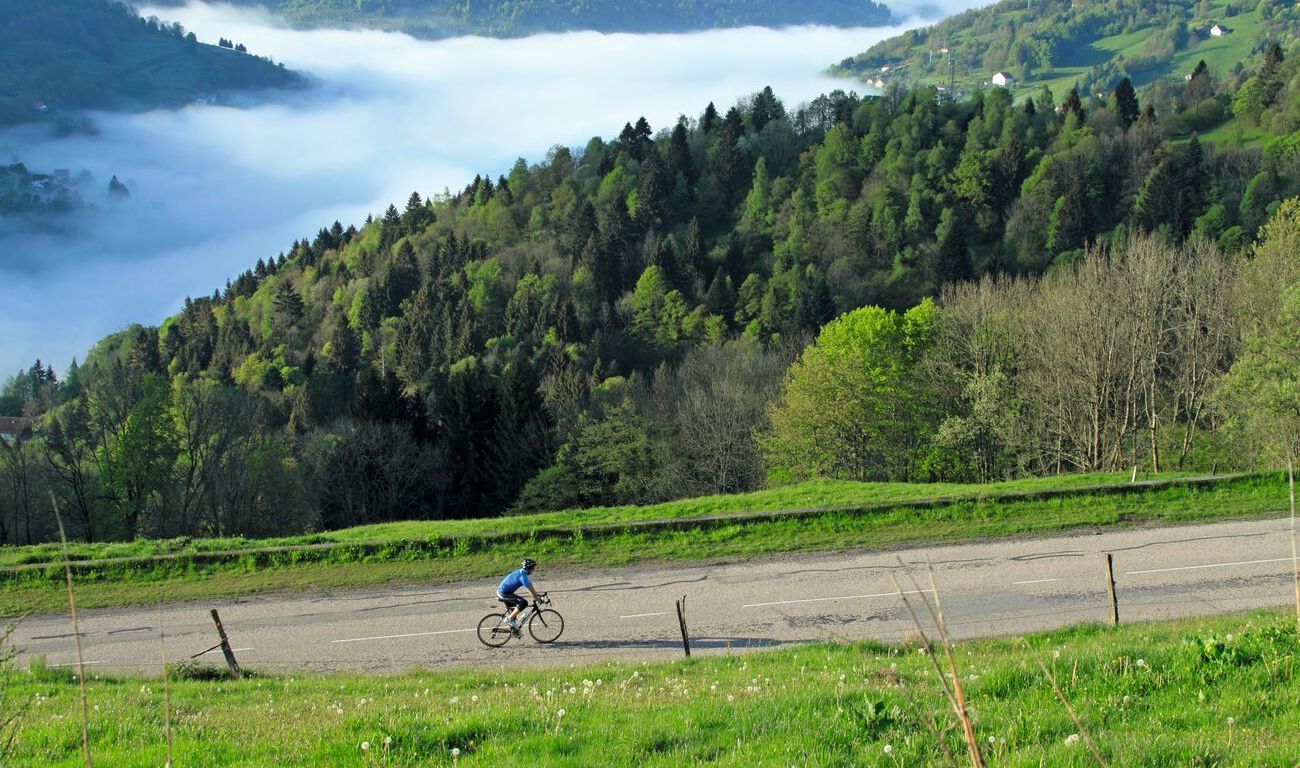
Road bike and gravel tours in the Vosges

Legendary passes of the Tour de France
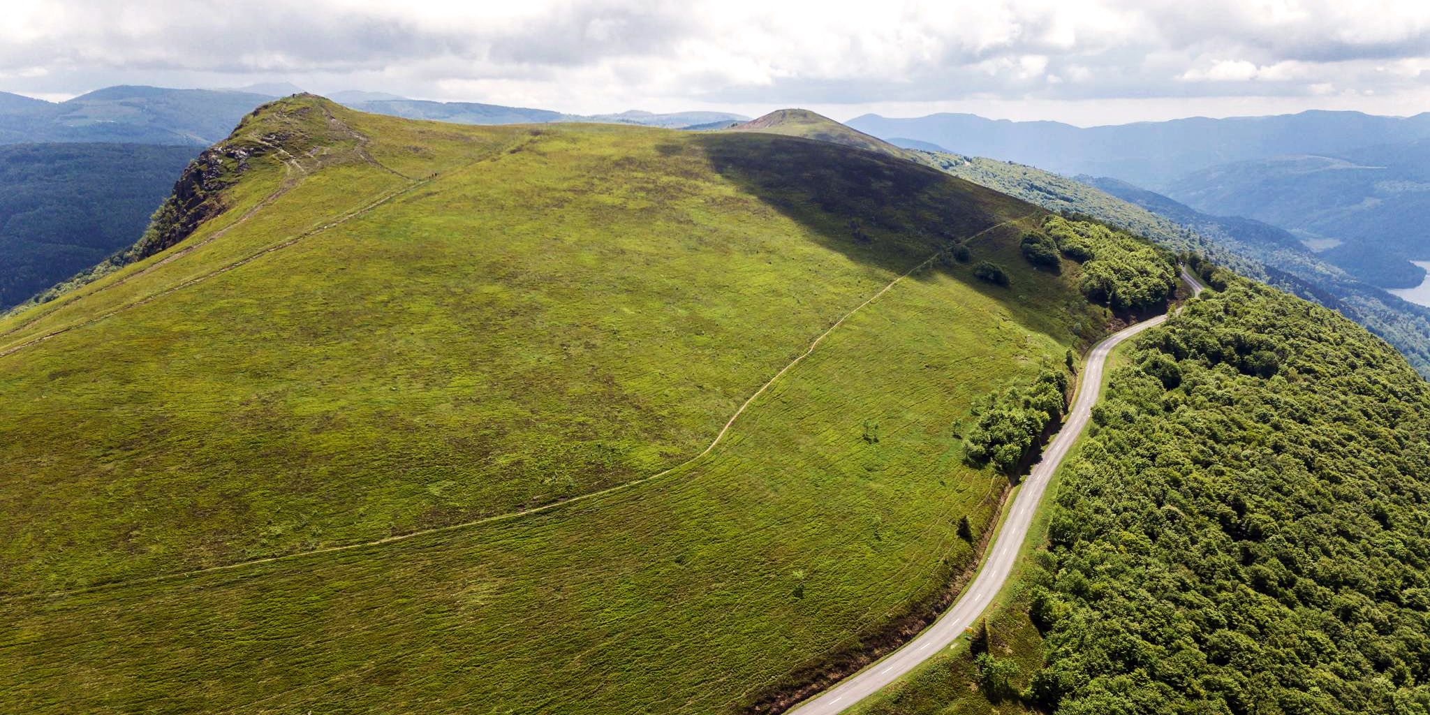
Beautiful passes In the Vosges Mountains

European Divide Trail — 7,600 km across the continent
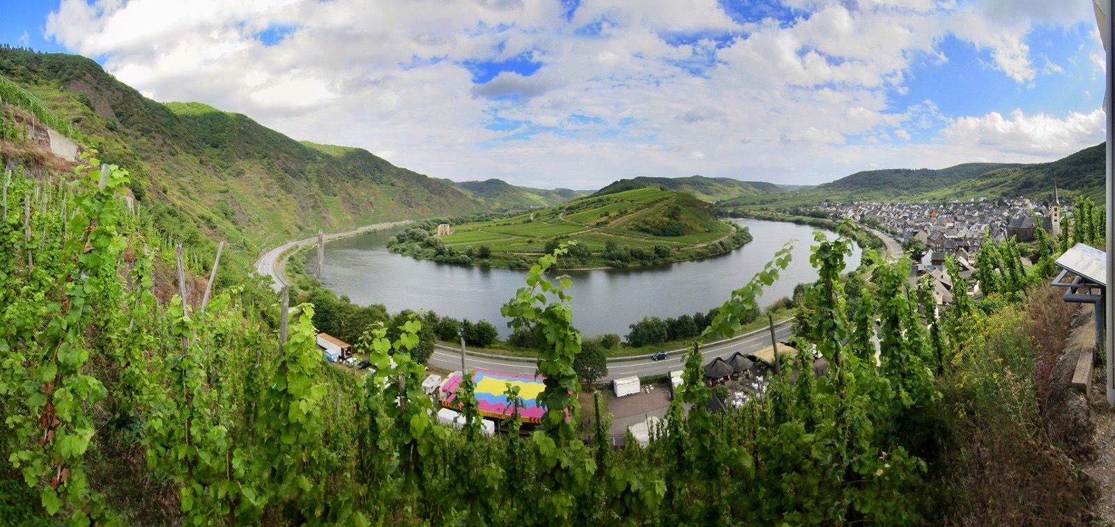
The Moselle cycle path — from the Vosges to the Rhine in 18 stages
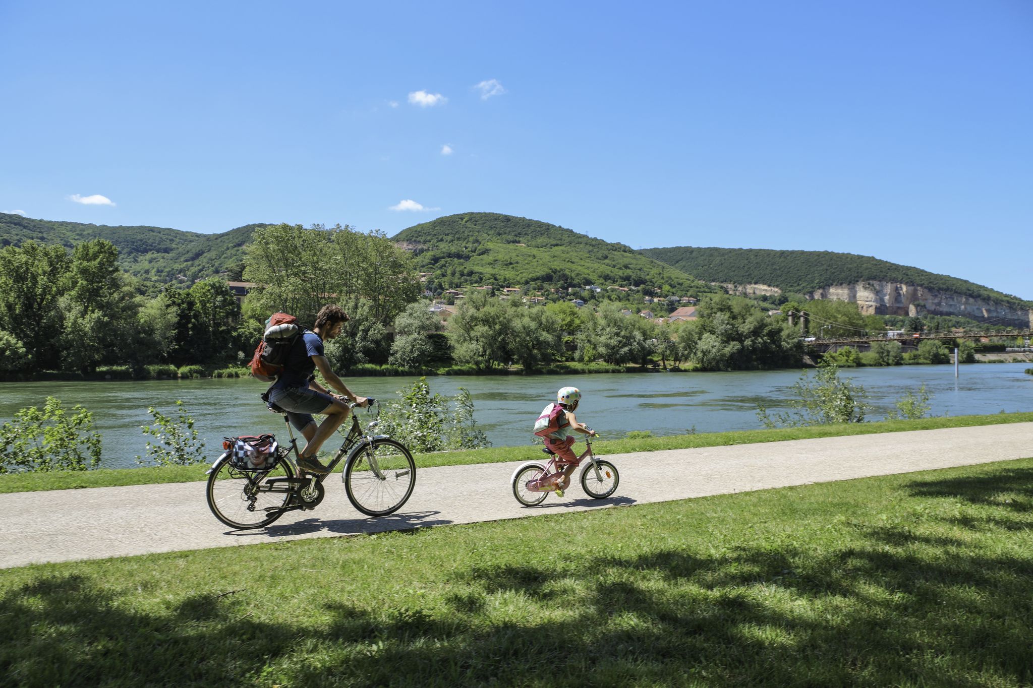
The Voie Bleue – Moselle-Saône by bike

Naples to North Cape — Two friends, one purpose and many scoops of ice-cream

Trail running in the Grand Est – the region's most beautiful hilly trails
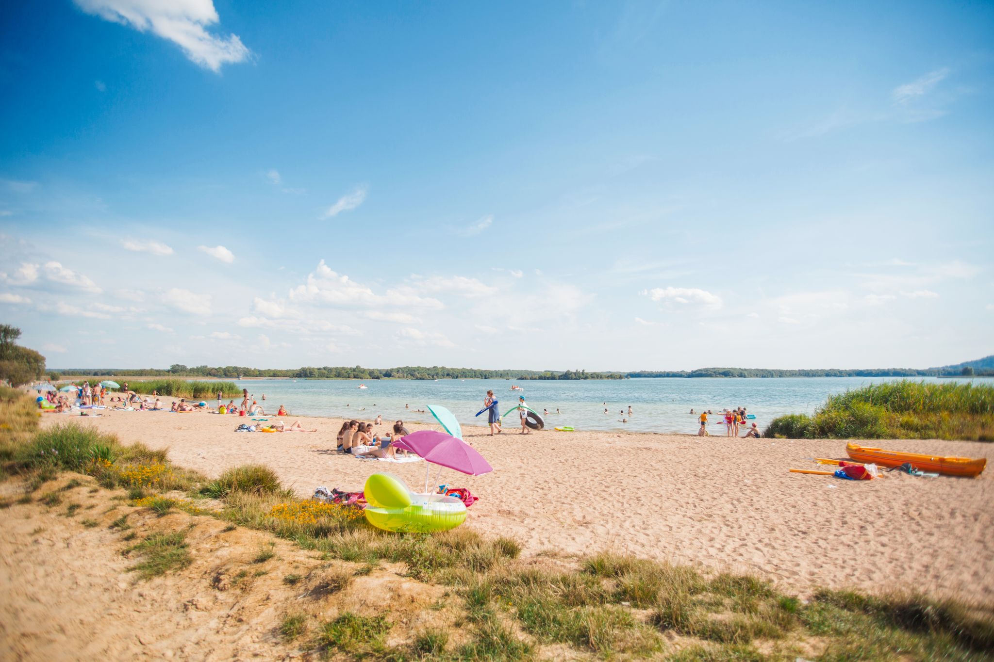
Walking in fresh air or alongside water in the Grand Est
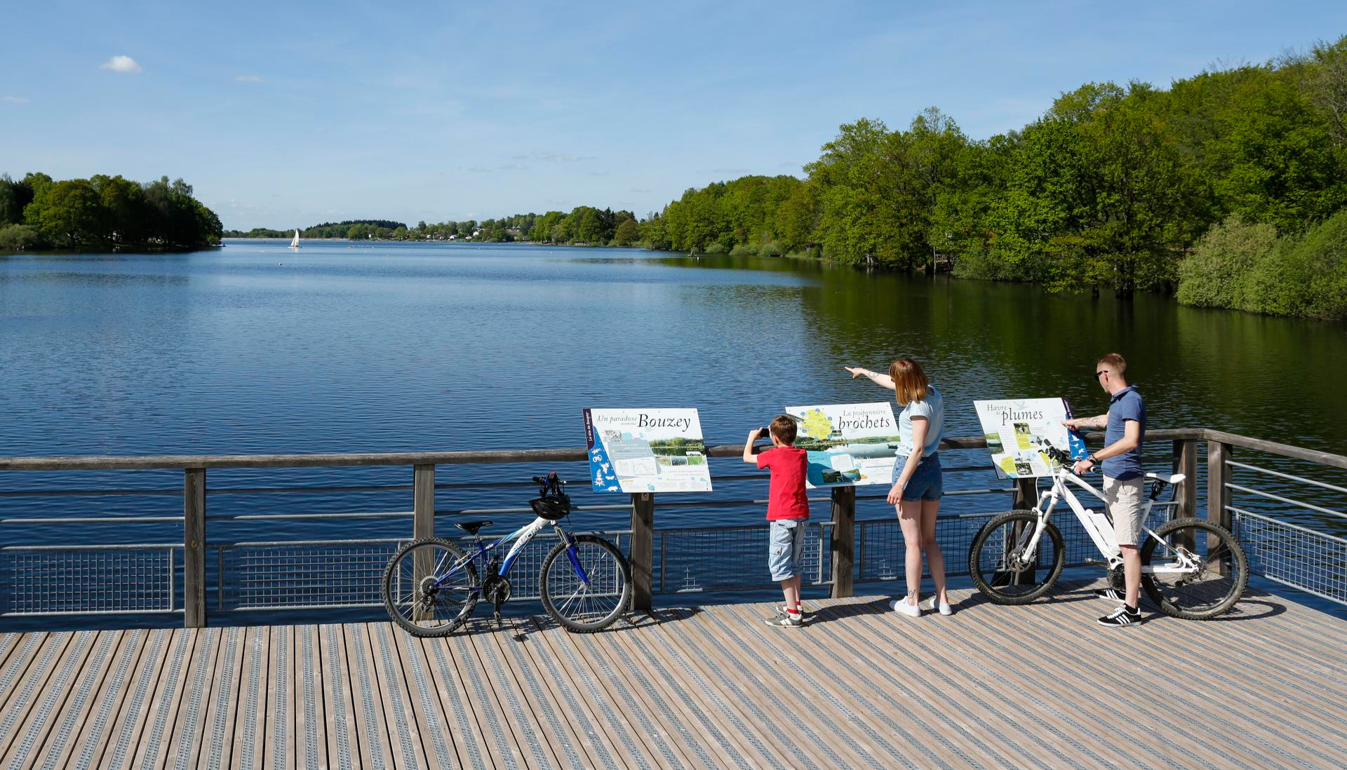
Family getaways – cycling in the Grand Est
Other adventures in Vosges


Tips from the Community

Le Markstein (1184 m) is meer dan alleen een kruispunt op de Route des Crêtes. Het is echter een echte bergpas en het hoogste punt van de oversteek tussen het Lauch- en Thurdal. Het ligt in het hart van het Vogezenmassief, midden een populair wintersportgebied dat nauw verbonden is met de Grand Ballon
4
0
There are no restaurants or cafes at the summit of the Col de Bramont itself. However, the pass serves as a strategic junction. From the summit, you can directly connect to the famous Route des Crêtes (the D431), which links the main mountain peaks of the Vosges. This allows you to easily cycle or hike to larger attractions nearby, such as the Col de la Schlucht, the Hohneck, or the Grand Ballon. The climb is enjoyable due to its 12 hairpin bends on the southern flank (Kruth).
5
0
The climb starts relatively calmly; the first 4.5 kilometers hardly show any significant incline, while the road runs slightly undulating along the Lac de Kruth-Wildenstein reservoir. Only after that does the real climbing work begin over a distance of about 3.5 to 4 kilometers. From that moment on, the road winds its way up via 12 characteristic hairpin bends. The gradient during this section is very constant and fluctuates almost continuously around 5 to 6%, making the climb ideal for finding a steady rhythm. The road is well-asphalted and leads entirely through a dense pine forest. This allows you to cycle delightfully in the shade, although due to the dense vegetation at the top and during the climb, there are few sweeping views of the valley. Once at the top (955m), you can descend directly to the north side towards La Bresse or join the well-known Route des Crêtes to extend the ride to, for example, the Col de la Schlucht or the Grand Ballon.
4
0
The Cascade du Bockloch is an atmospheric waterfall in Alsace (Haut-Rhin department), located on the wooded northeastern bank (right bank) of the Kruth-Wildenstein Lake. The waterfall is fed by the Hinterbockloch mountain stream, which originates on the slopes of the nearby Grand Ventron massif. Water plunges here via an abrupt, steep rock face about 12 meters down into a small, photogenic basin, just before it flows into the reservoir.
5
0
The Col d' Oderen is an 8.2 kilometer climb. This is a category 3 climb. It is located in Cornimont, Lorraine, France. The average gradient of this climb is 3.9% with a maximum of 6%. The Col d' Oderen rises from 573 meters at the start to 885 meters at the top, with a total of 312 meters of elevation gain.
5
0
De Col des Croix is a 679-meter-high mountain pass in the French Vogezen massif, located on the border of the Vosges and Haute-Saône departments. The pass forms an accessible connecting road (the D486) between the northern Le Thillot and the southern Servance. At the top, you will find the well-known Le Chalet Snack du Col des Croix, and the road splits towards the D16 (Route des Forts), the route that continues to the higher Ballon de Servance.
5
0
The end of the climb is somewhat disappointing. There is nothing marked. No photo opportunity. You have a small parking lot, a closed military road, and a picnic spot well hidden under the trees. At the two yellow signs (mainly for hikers) there is the only indication that you are at the Ballon de Servance and at 1158 m. The climb is "cozy". No cars, completely shaded, a few kilometer markers.
5
0
La Planche des Belles Filles is a 5.8 kilometer climb. It is a category 1 climb. It is located in Plancher Les Mines, Franche-Comté, France. The average gradient of this climb is 8.6% with a maximum of 13.6%. La Planche des Belles Filles climbs from 527 meters at the start to 1,033 meters at the summit, for a total elevation gain of 506 meters.
5
0
Frequently Asked Questions
How many road cycling routes are available in Vosges?
The Vosges region offers a vast network of road cycling routes. You can explore over 2,600 routes, catering to various skill levels and preferences.
What makes road cycling in Vosges unique?
Road cycling in Vosges is characterized by its diverse landscapes, ranging from dense pine forests to open mountain pastures. The region is renowned for its legendary mountain passes, many of which have been featured in the Tour de France, offering both challenging climbs and breathtaking panoramic views. It's a blend of natural beauty and sporting heritage.
What are the general difficulty levels of road cycling routes in Vosges?
The Vosges region provides a good mix of routes for all abilities. There are nearly 400 easy routes, over 1,600 moderate routes, and more than 600 difficult routes, ensuring options for beginners and experienced cyclists alike.
Are there challenging climbs for experienced road cyclists in Vosges?
Yes, the Vosges is famous for its challenging ascents. Iconic passes like La Planche des Belles Filles, Grand Ballon, and Ballon d'Alsace offer significant gradients and long climbs. For a demanding experience, consider the Col du Ballon d'Alsace – Ballon d'Alsace loop from Fresse-sur-Moselle, which features nearly 2,000 meters of elevation gain.
Can I find routes that feature the famous mountain passes like Col de la Schlucht?
Absolutely. The Vosges is home to many iconic passes. You can cycle routes that include the Col de la Schlucht, known for its forested climbs and scenic views. A popular option is Le Col de la Schlucht – loop from Lac de Longemer, a difficult 76.5 km path.
What is the Route des Crêtes and can I cycle it?
The Route des Crêtes is a historic 90 km 'summit route' that winds between peaks and valleys, offering breathtaking views, sometimes even of the Alps and the Rhine plain on clear days. It's a must-do for cyclists and is fully accessible for road biking, providing an unforgettable experience through the heart of the Vosges mountains.
Are there any circular road cycling routes in Vosges?
Many road cycling routes in Vosges are designed as loops, allowing you to start and end at the same point. For example, the Col des Feignes sous Vologne — loop from Lac de Gérardmer is a popular 52.1 km circular trail with significant climbs, or the Les Arentès Loop offers a moderate 47 km ride through varied landscapes.
Are there easy or beginner-friendly road cycling routes in Vosges?
While the Vosges is known for its mountains, there are nearly 400 easy routes suitable for beginners or those seeking a more relaxed ride. These routes often utilize greenways or less steep sections, allowing you to enjoy the scenery without excessive effort.
What natural attractions can I see along road cycling routes in Vosges?
The Vosges offers stunning natural beauty. Many routes pass by beautiful lakes like Lake Lispach and Lake Longemer, which are perfect for a break. You might also encounter picturesque waterfalls such as the Mérelle Waterfall, or ride near impressive summits like Gazon du Faing.
Are there places to stop for refreshments or accommodation along the routes?
Yes, the Vosges region is known for its cycling-friendly infrastructure. You'll find charming Alsatian villages along many routes where you can experience local gastronomy. There are also farmhouse-inns and various huts and cabins, such as The Haute Loge shelter or Auberge de la Chaume du Firstmiss, offering opportunities for breaks and overnight stays.
What do other road cyclists enjoy the most about road cycling in Vosges?
The Vosges is highly rated by the komoot community, with an average score of 4.4 stars from over 2,200 reviews. Cyclists often praise the region's diverse terrain, the challenge of its legendary mountain passes, and the stunning panoramic views. The blend of demanding mountain roads and more relaxed greenways, all set within a beautiful natural environment, is frequently highlighted.
What is the best time of year for road cycling in Vosges?
The best time for road cycling in the Vosges is typically from spring to autumn. During these months, the weather is generally favorable, and the mountain passes are clear of snow. Summer offers warmer temperatures, while spring and autumn provide cooler rides and beautiful seasonal foliage, though some higher passes might still be chilly or have early snow in the shoulder seasons.
Most popular routes in Vosges
Most popular attractions in Vosges

Get inspired with the komoot mobile app


Explore more
Browse the best Road cycling routes in other regions.
