The best road cycling routes around Ål
4.0
(2)
149
riders
13
rides
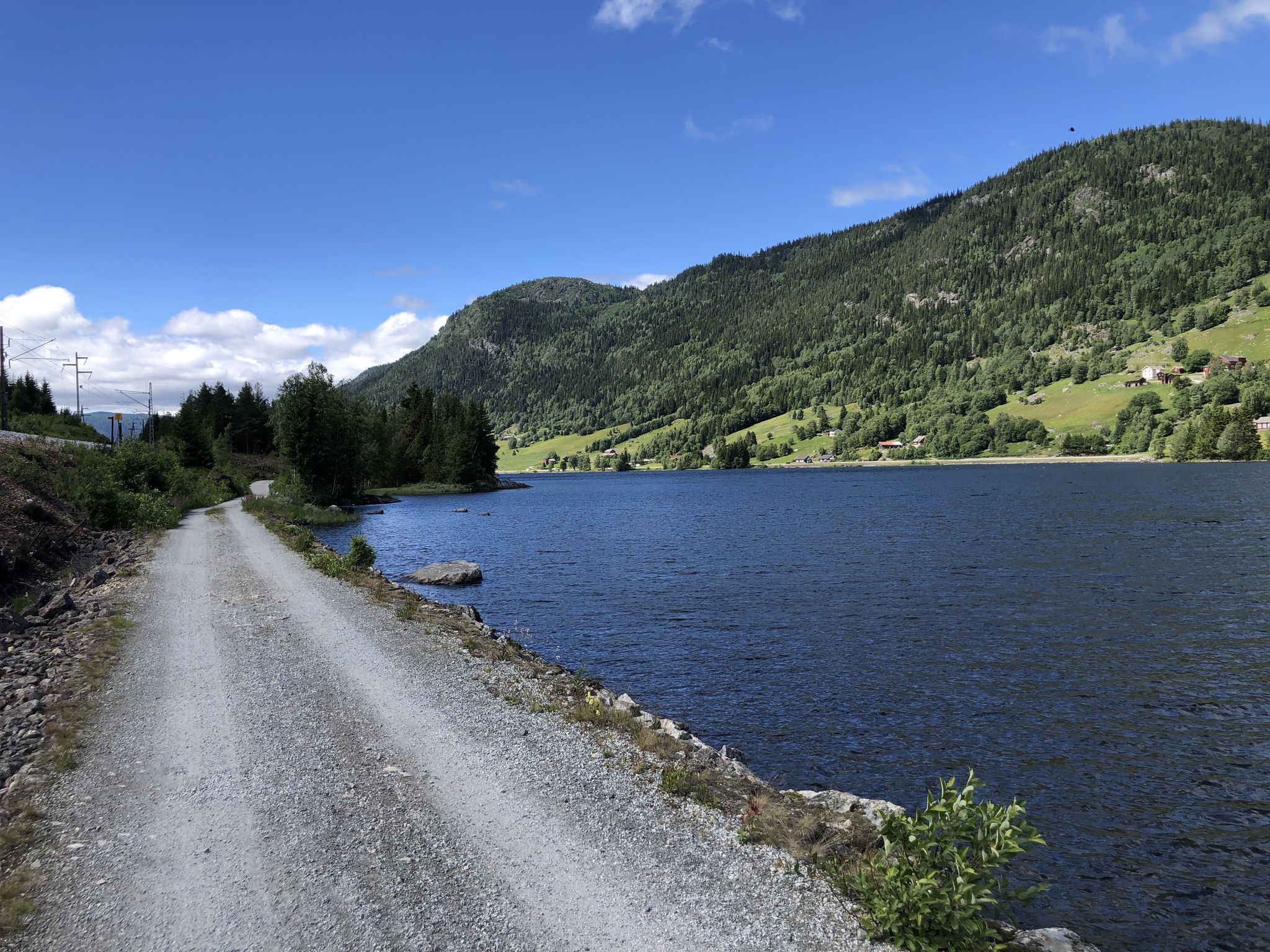
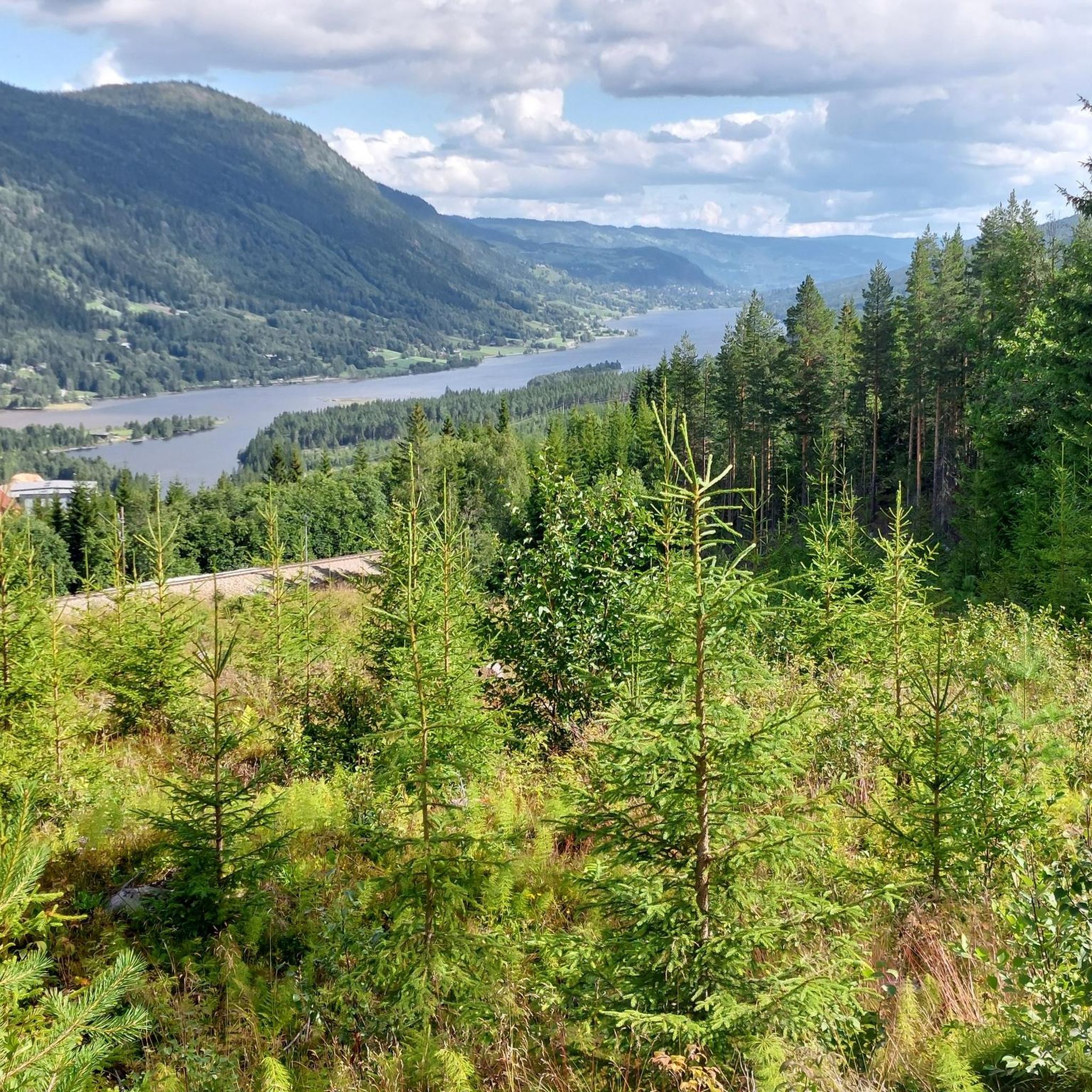
Road cycling routes around Ål are characterized by the mountainous terrain of the Hallingdal valley in Eastern Norway, with much of the municipality lying above 900 meters. The landscape features lush valleys, extensive forests, and numerous mountain lakes, providing varied elevations for cyclists. The Hallingdalselva river flows through the main valley, offering waterside routes, while other paths ascend into the mountains. This combination of high mountains, valleys, rivers, and lakes creates a diverse environment for road cycling.
Best road cycling…
Last updated: October 13, 2026
24
riders
112km
05:10
1,120m
1,120m
Hard road ride. Very good fitness required. Some segments of this route may be unpaved and difficult to ride.
16
riders
108km
05:31
1,730m
1,730m
Hard road ride. Very good fitness required. Mostly well-paved surfaces and easy to ride.

4.0
(1)
13
riders
120km
06:00
1,720m
1,720m
Hard road ride. Very good fitness required. Some segments of this route may be unpaved and difficult to ride.
18
riders
23.8km
01:45
340m
340m
Moderate road ride. Good fitness required. Some segments of this route may be unpaved and difficult to ride.
14
riders
51.8km
02:50
590m
590m
Moderate road ride. Good fitness required. Mostly well-paved surfaces and easy to ride.
Get access to more routes and recommendations from other explorers.
Already have an account?
Our route recommendations are based on thousands of hikes, rides, and runs completed by other people on komoot.
Start today with a free account
Your next adventure awaits.

Other adventures around Ål

Tips from the Community

The nearby hotel is hospitable, great for warming up
0
0

At the western end of Ustedalsjorden near Geilo, an unusual wooden bridge crosses the Usta river at the historic starting point of the Nordmannsslepa, the oldest known trade and travel route across the Hardangervidda. The original bridge was built between 1884 and 1885. When it became dilapidated, a faithful replica was erected in 1990 using traditional timber construction methods, retaining the building style of the 18th-century original.
0
0

Put on dry clothes, preferably something windproof if you plan to go downhill. Phenomenal slope. Wonderful view
0
0

Halne Fjellstugu sits at the northern tip of the Halnefjorden and is a superb base for excursions into the northern part of the Hardangervidda. It's also an accommodation option for those completing the epic SignaTUR MASSIV. There are 75 beds in total here and a cafe too for a well-deserved refuel.
0
0
Train station in Geilo. The Bergen / Oslo train runs here. Stops en route: Sandvika, Asker, Drammen, Hokksund, Vikersund, Hønefoss, Nesbyen, Gol, Ål, Ustaoset, Haugastøl, Finse, Hallingskeid, Myrdal (transfer option to the Flåm Railway), Upsete, Mjølfjell and Voss.
0
0


The rest shelters by Mjølkevegen along the route are called "Mjølkerampe" in Norwegian, referring to the stands where milk buckets were placed to be collected by the passing milk vehicle. This one is located centrally at Vaset. Enjoy your break, and please do not litter.
0
0

Geilo is a nice mountain commune with shops, restaurants and camping
0
0
Frequently Asked Questions
What is the typical terrain like for road cycling in Ål, and what are the difficulty levels?
Ål offers a diverse road cycling landscape, characterized by the mountainous terrain of the Hallingdal valley. You'll find routes winding through lush valleys along the Hallingdalselva river, as well as paths ascending into the mountains, where the terrain can become easier at higher altitudes. Routes range from moderate to difficult, with options for various ability levels. For example, the Flatsjø – Feten loop from Svøo is a moderate route, while the Access to Lake at Synsjøen – Scenic Side Road in Norway loop from Halvorstøl bru is considered difficult.
Are there challenging road cycling routes for experienced riders in Ål?
Yes, Ål provides several challenging road cycling routes for experienced riders. Many routes feature significant elevation gains as they climb from the valley into the mountains. An example of a demanding route is the Metubba Nature Reserve – Mjølkerampe Vaset loop from Langehaugen, which is a difficult 73.7-mile (118.6 km) path traversing natural reserves and offering extensive mountain and valley scenery.
Are there any easier road cycling routes suitable for beginners in Ål?
While many routes in Ål involve mountainous terrain, there are options that are more accessible. The region offers routes along the Hallingdalselva river in the valley, which are often separated from main road traffic, providing a more relaxed experience. Look for routes categorized as 'moderate' in difficulty, such as the Slåttahølen – Huldreskogen loop from Geilomoen, which is a 25.3-mile (40.7 km) moderate trail.
What natural features or landmarks can I expect to see while road cycling in Ål?
Road cycling in Ål offers stunning views of diverse natural features. You'll encounter lush valleys, extensive forests, and numerous mountain lakes, with around 1,700 bodies of water in the municipality. The Hallingdalselva river flows through the main valley, forming the picturesque Strandafjorden. Notable natural landmarks include the beautiful Rjukandefossen Waterfall and the impressive Gardnos Meteorite Crater Trail.
Are there specific viewpoints or scenic spots along the road cycling routes in Ål?
Yes, Ål's mountainous landscape provides many opportunities for scenic viewpoints. As routes ascend into the mountains, you'll often find panoramic vistas of the surrounding valleys, lakes, and peaks. The Bergsjø area, located higher in the mountains, is particularly noted for its charming mountain paths and scenic views. Keep an eye out for spots like Gjeiteberget (834 m), which offers elevated perspectives.
Can I find wild swimming spots near road cycling routes in Ål?
Ål is home to approximately 1,700 lakes and bodies of water, including the Hallingdalselva river and the long, narrow Strandafjorden. While specific designated wild swimming spots along road cycling routes are not detailed, the abundance of natural water features suggests opportunities for refreshing dips, especially in the numerous mountain lakes and along the river, where accessible points may be found.
Is parking available for road cyclists in Ål?
While specific parking facilities for every trailhead are not detailed, Ål is a well-established outdoor destination. It is generally possible to find parking in and around the main town of Ål or at various starting points for routes, especially near popular recreational areas. It's advisable to check local signage or specific route descriptions for recommended parking locations.
How can I reach road cycling routes in Ål using public transport?
Ål is located in the Hallingdal valley and is accessible by public transport, primarily train services connecting to Oslo and Bergen. From the Ål train station, local bus services or taxis may provide connections to various starting points for road cycling routes. For detailed public transport information, it's best to consult local transport providers or visit visital.no for general travel advice to the region.
What is the best time of year for road cycling in Ål?
The best time for road cycling in Ål is typically during the warmer months, from late spring through early autumn (May to September). During this period, the mountain roads are generally clear of snow and ice, and the weather is more favorable. Summer offers the longest daylight hours and pleasant temperatures, ideal for longer rides. Always check local weather forecasts before heading out, as mountain weather can change rapidly.
Are there any family-friendly road cycling options in Ål?
For families, Ål offers options that cater to a more relaxed pace. Routes along the Hallingdalselva river in the valley are often separated from main road traffic, providing a safer and more enjoyable experience for families. While specific 'easy' road cycling routes are limited, the region's commitment to cycling infrastructure, including facilities like Hallingdal Bike Park, suggests a family-friendly approach to outdoor activities, with some paved country roads being suitable for less experienced riders.
What do other road cyclists enjoy the most about road cycling in Ål?
The road cycling routes in Ål are highly rated by the komoot community, with an average score of 4.0 stars. Cyclists often praise the region's diverse terrain, which offers both challenging climbs and serene valley rides, as well as the stunning natural beauty of the mountains, lakes, and rivers. The varied road network, including paved country roads and idyllic gravel roads, also contributes to a highly enjoyable experience.
Are there any circular road cycling routes available in Ål?
Yes, many of the road cycling routes in Ål are designed as loops, allowing you to start and finish at the same point. This is convenient for cyclists using personal vehicles. Examples include the Access to Lake at Synsjøen – Scenic Side Road in Norway loop from Halvorstøl bru and the Mellomtjønn loop from Geilolie, which is a moderate 32.3-mile (51.9 km) route.
Most popular attractions around Ål

Get inspired with the komoot mobile app


Explore more
Browse the best Road cycling routes in other regions.
