The best walks and hikes around Råde
4.5
(68)
623
hikers
68
hikes
Hiking around Råde offers diverse natural landscapes, characterized by its appealing location by the Oslofjord. The region provides opportunities to explore varied terrain, including waterfront paths and areas within nature reserves. These natural settings allow for observation of the local environment and offer a range of outdoor recreation options. The municipality features a network of trails suitable for different preferences.
Best hiking trails around Råde
- The most popular hiking route is Beautiful Bay loop from Eldøya-Sletter landskapsvernområde, a 6.0…
Last updated: October 11, 2026
3.0
(1)
5
hikers
6.33km
01:40
50m
50m
Moderate hike. Great for any fitness level. Mostly accessible paths. Sure-footedness required.
4
hikers
5.16km
01:20
30m
30m
Easy hike. Great for any fitness level. Easily-accessible paths. Suitable for all skill levels.

2
hikers
5.71km
01:33
70m
70m
Easy hike. Great for any fitness level. Easily-accessible paths. Suitable for all skill levels.
14
hikers
9.70km
02:31
60m
60m
Moderate hike. Good fitness required. Easily-accessible paths. Suitable for all skill levels.
3.0
(1)
10
hikers
5.87km
01:37
100m
100m
Easy hike. Great for any fitness level. Easily-accessible paths. Suitable for all skill levels.
Get access to more routes and recommendations from other explorers.
Already have an account?
Our route recommendations are based on thousands of hikes, rides, and runs completed by other people on komoot.
Start today with a free account
Your next adventure awaits.
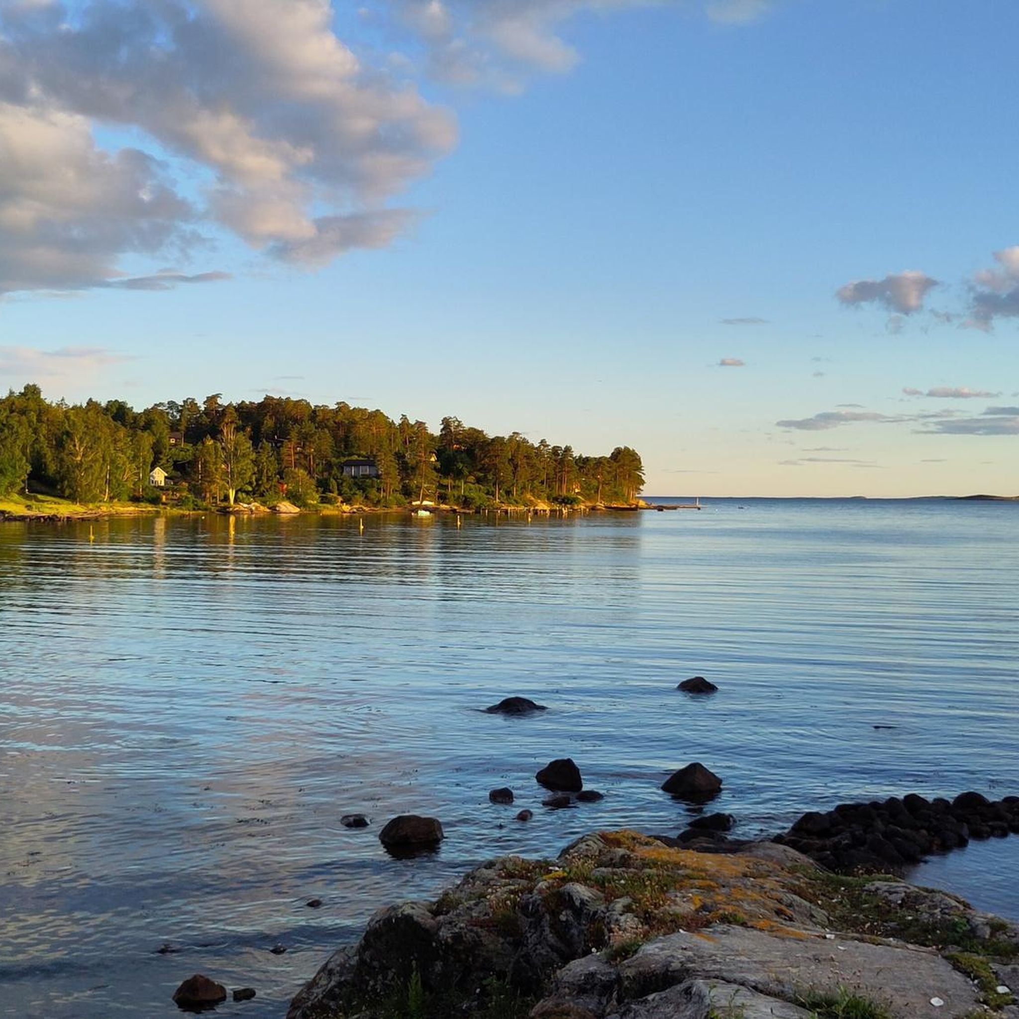
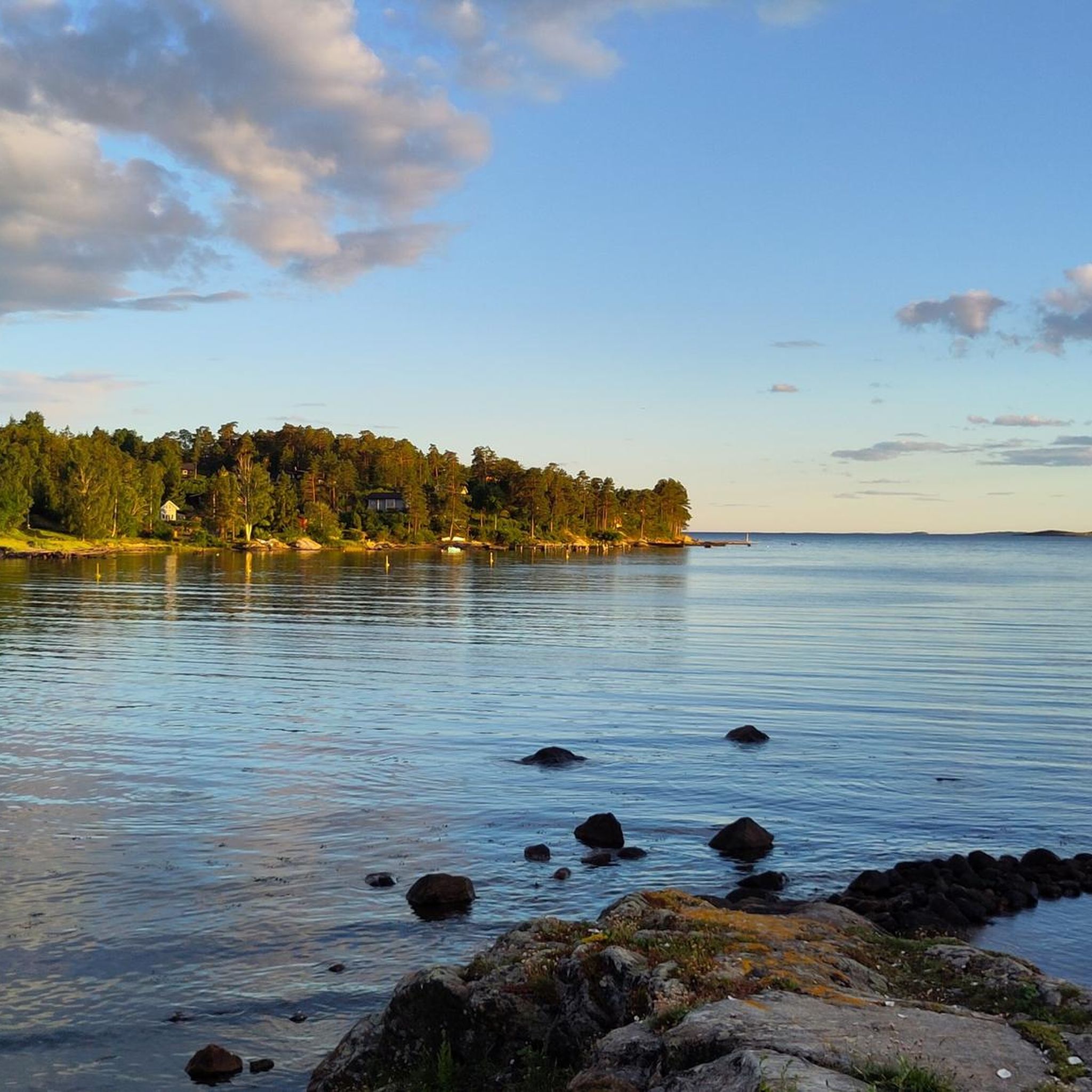
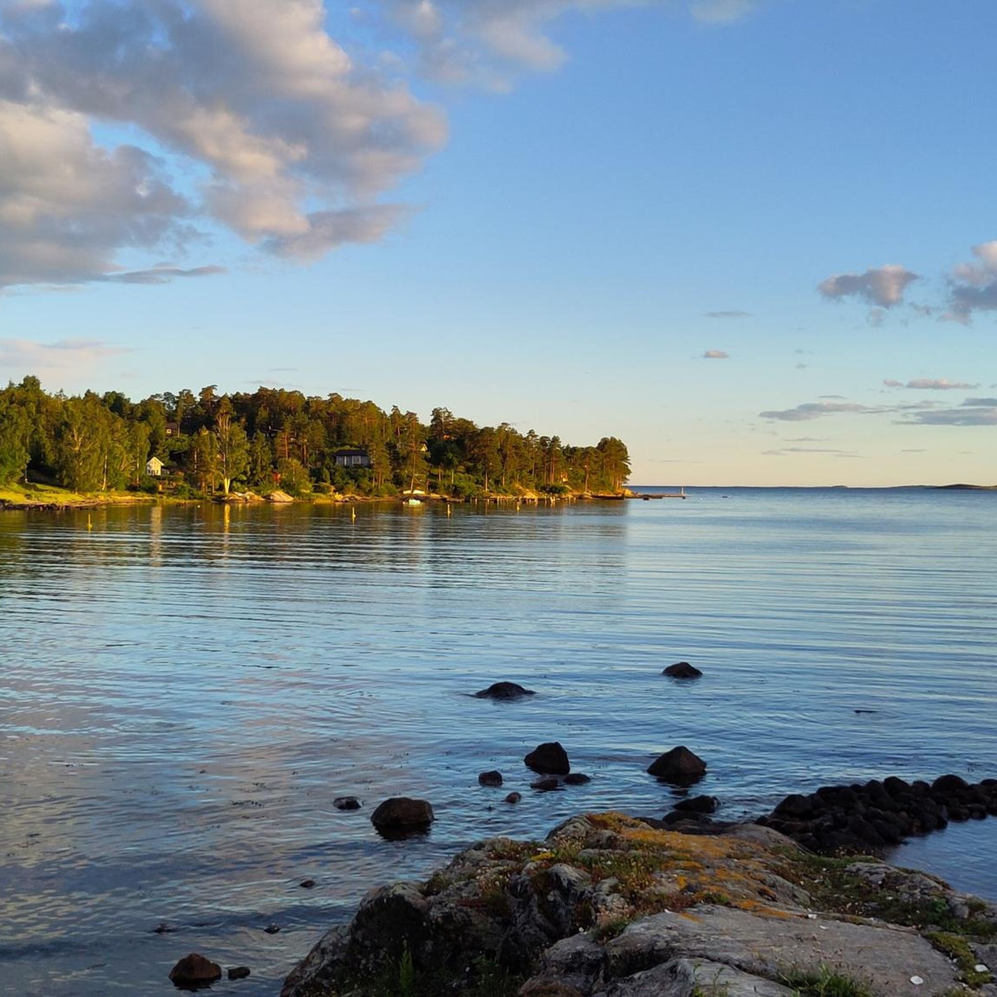
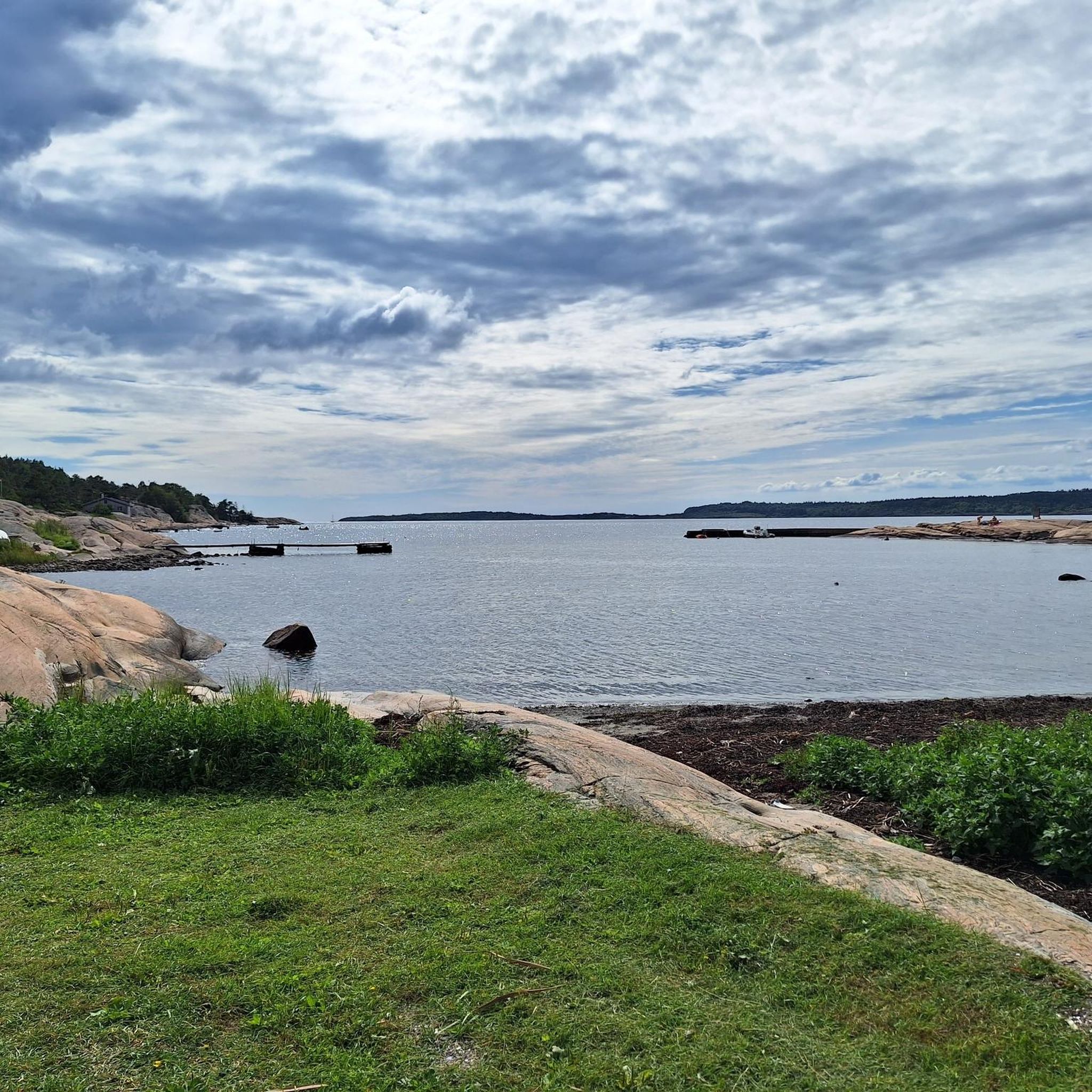

Tips from the Community

This little country road has very little traffic. It’s a pleasant place to walk, even on foot – for example, to walk round the nearby lake. The view here is unobstructed.
0
0
This trail along the Isebakkjernet runs through a forest. The trees give way from time to time, offering views of the lake.
0
0
There is an old feldspar mine here. Today, it forms a shelter in the rock which you can enter.
0
0

At low tide, a natural path becomes visible through the sea, leading you across to the island where a forested track runs all the way to the far end. This woodland trail is perfect for exploring, guiding you through the trees to discover a series of beaches along the way.
0
0
This lovely beach is a perfect resting place along the trail where you can stop off and go for a refreshing swim. Surrounded by scenic views, it is an ideal spot to take a break, relax on the sand, and enjoy the Kråkstadfjorden Nature Reserve.
0
0
Located in Råde, the Kråkstadfjorden Nature Reserve protects a vital shallow-water mudflat and wetland ecosystem. It is a highly significant feeding and nesting ground for coastal birds, serving as a sanctuary for dozens of migratory aquatic birds and wading species.
0
0

Beach on the huge Vansj, on a lonely peninsula! In rainy weather, there is a mystical atmosphere here! In sunny weather, the lake invites you to swim!
0
0
Frequently Asked Questions
How many hiking trails are available in Råde?
Råde offers a wide selection of hiking opportunities, with over 60 trails recorded on komoot. These routes cater to various preferences, from easy strolls to more moderate hikes.
Are there any easy hiking trails suitable for beginners or families in Råde?
Yes, Råde has many easy trails perfect for beginners or families. For instance, the Rørfjell loop from Jerndalsfjellet naturreservat is an easy 3.6-mile (5.9 km) path that traverses a nature reserve. Another accessible option is the Fugleleiken Parking Lot – Fugleleiken Summit loop from Råde kirke, which is 3.1 miles (5.1 km) and also rated as easy.
What kind of terrain can I expect on Råde's hiking trails?
Hiking around Råde is characterized by its proximity to the Oslofjord, offering varied terrain. You can expect coastal paths with fjord views, as well as routes through nature reserves and forested areas. The elevation changes are generally moderate, making most trails accessible.
Are there any circular hiking routes in Råde?
Many of Råde's hiking trails are designed as loops, allowing you to start and end at the same point. Examples include the popular Beautiful Bay loop from Eldøya-Sletter landskapsvernområde and the View of the Fjord – Beautiful Bay loop from Eldøya-Sletter landskapsvernområde, both offering scenic circular experiences.
What are the best times of year to go hiking in Råde?
The best time to hike in Råde is generally during the warmer months, from spring through autumn, when the weather is mild and the natural landscapes are vibrant. Summer offers long daylight hours and pleasant temperatures, ideal for exploring coastal areas and viewpoints. While winter hiking is possible, be prepared for colder conditions and potentially icy paths.
Are Råde's hiking trails dog-friendly?
Many trails in Råde are dog-friendly, but it's always recommended to keep dogs on a leash, especially in nature reserves or areas with livestock, to protect wildlife and ensure a pleasant experience for all hikers. Check specific trail regulations if you plan to bring your dog.
What kind of natural attractions or viewpoints can I find along the trails?
Råde's trails often feature views of the Oslofjord and pass through scenic natural areas. You can find viewpoints like View of the bay, Bench with a view of Årvollfjorden, and Ravneberget Viewpoint. The region's proximity to the Oslofjord also means opportunities to observe boats and ships from the waterfront.
Are there any historical sites or cultural landmarks near the hiking routes?
While Råde itself is more focused on natural landscapes, the broader region offers historical sites. For example, the impressive Fredrikstad Fortress, a significant historical site, is located nearby. You might also find local cultural trails that highlight the area's heritage.
Is public transport available to reach hiking trailheads in Råde?
Public transport options to specific trailheads in Råde may vary. While Råde is accessible by public transport, it's advisable to check local bus schedules and routes in advance to plan your journey to the starting points of your chosen hikes. Some trailheads might require a short walk from the nearest bus stop.
Where can I find parking for hiking trails in Råde?
Many popular trailheads in Råde, especially those associated with nature reserves or recreational areas, offer designated parking facilities. For example, the Fugleleiken Parking Lot – Fugleleiken Summit loop starts from a parking lot, indicating accessibility for drivers. Always look for signage or check route details for specific parking information.
What do other hikers enjoy most about hiking in Råde?
The komoot community highly rates hiking in Råde, with an average score of 4.5 stars from over 50 reviews. Hikers often praise the diverse natural landscapes, the scenic views of the Oslofjord, and the well-maintained trails that cater to different ability levels. The peaceful atmosphere and opportunities to connect with nature are frequently highlighted.
Are there any places to eat or stay near the hiking areas in Råde?
Råde and its surrounding areas offer various options for dining and accommodation. While specific cafes or restaurants might not be directly on every trailhead, you can find establishments in the municipality's centers. For a wider selection, nearby towns like Moss, a historic harbor town, provide additional choices for food and lodging.
Most popular attractions around Råde

Get inspired with the komoot mobile app


Explore more
Browse the best Hikes in other regions.
