The best walks and hikes around Bygland
4.5
(512)
1,825
hikers
19
hikes
Hiking around Bygland offers diverse terrain within Norway's Setesdal valley, characterized by lush forests, rolling hills, and impressive mountainscapes. The region features the 34-kilometer-long Byglandsfjord, providing scenic backdrops for many routes. Numerous other lakes and rivers contribute to the picturesque scenery. This varied landscape ensures a range of hiking experiences, from ancient woodlands to more rugged, higher-altitude treks.
Best hiking trails around Bygland
- The most popular hiking route is Round trip to Ørnenapen, a 2.4 miles (3.9 km) trail that takes 1 hour 58 minutes to complete. This route offers panoramic views of the surrounding area.
- Another top favourite among local hikers is From Gaukhei to Tjønndalen, a moderate 8.0 miles (12.8 km) path. This trail traverses varied terrain through the valley, suitable for those seeking a longer excursion.
- Local hikers also love the Arabianspitz 792 m – Årdalsnuten Summit loop from Neset, a 5.2 miles (8.3 km) trail leading through mountain landscapes with fjord views, often completed in about 3 hours 50 minutes.
- Hiking around Bygland is defined by lush forests, rolling hills, and mountainscapes, often with views of Byglandsfjord. The network offers options for various ability levels, from easy paths to challenging mountain routes.
- The routes in Bygland are highly rated by the komoot community with an average score of 4.5 stars from over 400 reviews. More than 1600 hikers have used komoot to explore Bygland's varied terrain.
Last updated: October 7, 2026
4.7
(61)
231
hikers
7.94km
03:49
540m
540m
Moderate hike. Good fitness required. Mostly accessible paths. Sure-footedness required.
4.7
(61)
244
hikers
3.91km
01:58
310m
310m
Moderate hike. Good fitness required. Mostly accessible paths. Sure-footedness required.

4.3
(11)
41
hikers
8.17km
03:20
430m
430m
Moderate hike. Good fitness required. Mostly accessible paths. Sure-footedness required.
4.0
(1)
16
hikers
12.8km
03:40
250m
380m
Moderate hike. Good fitness required. Easily-accessible paths. Suitable for all skill levels.
4.5
(2)
16
hikers
7.62km
02:28
500m
30m
Moderate hike. Good fitness required. Easily-accessible paths. Suitable for all skill levels.
Get access to more routes and recommendations from other explorers.
Already have an account?
Our route recommendations are based on thousands of hikes, rides, and runs completed by other people on komoot.
Start today with a free account
Your next adventure awaits.
Tips from the Community

The cave is not here, but further down the slope and can be reached via another path from the road!
0
0

Here you are about halfway to the summit of Årdalsknapen if you came up from Neset. The going gets a bit easier as you are going over a plateau. You can immerse yourself in a beautiful forest environment here, and through the trees you have a nice view of the fjord.
0
0
This is a very impressive cave formed into the side of Eiekefjell mountain. 'Tjovhola' translates into 'the thief's cave', as legend had it that thieves used it as a hideout. The opening is an impressive 15 metres wide by 12 metres high, and it goes back about 30 metres. From the entrance to the cave there is a magnificent view out over the fjord.
0
0
The Langeid to Tjønndalen SET 7 trail is a well-established independent point-to-point trail. It is regarded as a challenging hike with over 500 metres of height gain. The initial few kilometres of trail are on a gravel track before the trail evolves into a super nice mountain trail traversing an alpine environment.
0
0

It couldn't be more beautiful: the path leads you through a wonderful forest, where an even more stunning view awaits you around every bend.
0
0
Gaukhei is a historic self‑service mountain cabin run by DNT Sør located deep in the Setesdal Vesthei wilderness at about 843 m above sea level, and it is considered the oldest tourist hut in the region, with origins dating back to 1898 and 46 sleeping places.
0
0
Tjønndalen is a small, unstaffed DNT Sør mountain hut in the Setesdal Vesthei area that offers six bunks and basic facilities such as a kitchen with a stove and duvets, with water from a nearby stream and a wood stove for heat. The cabin lies just below the treeline and is often used as a rest point or overnight stop on the long trail between Langeid and Gaukhei in the highlands of Agder.
0
0
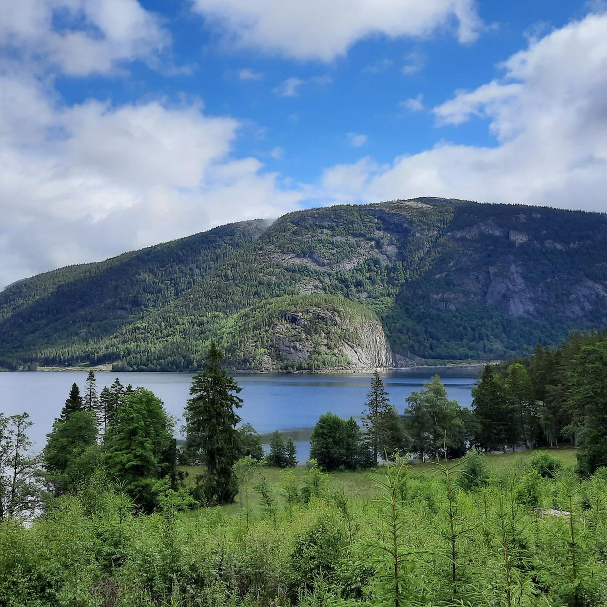
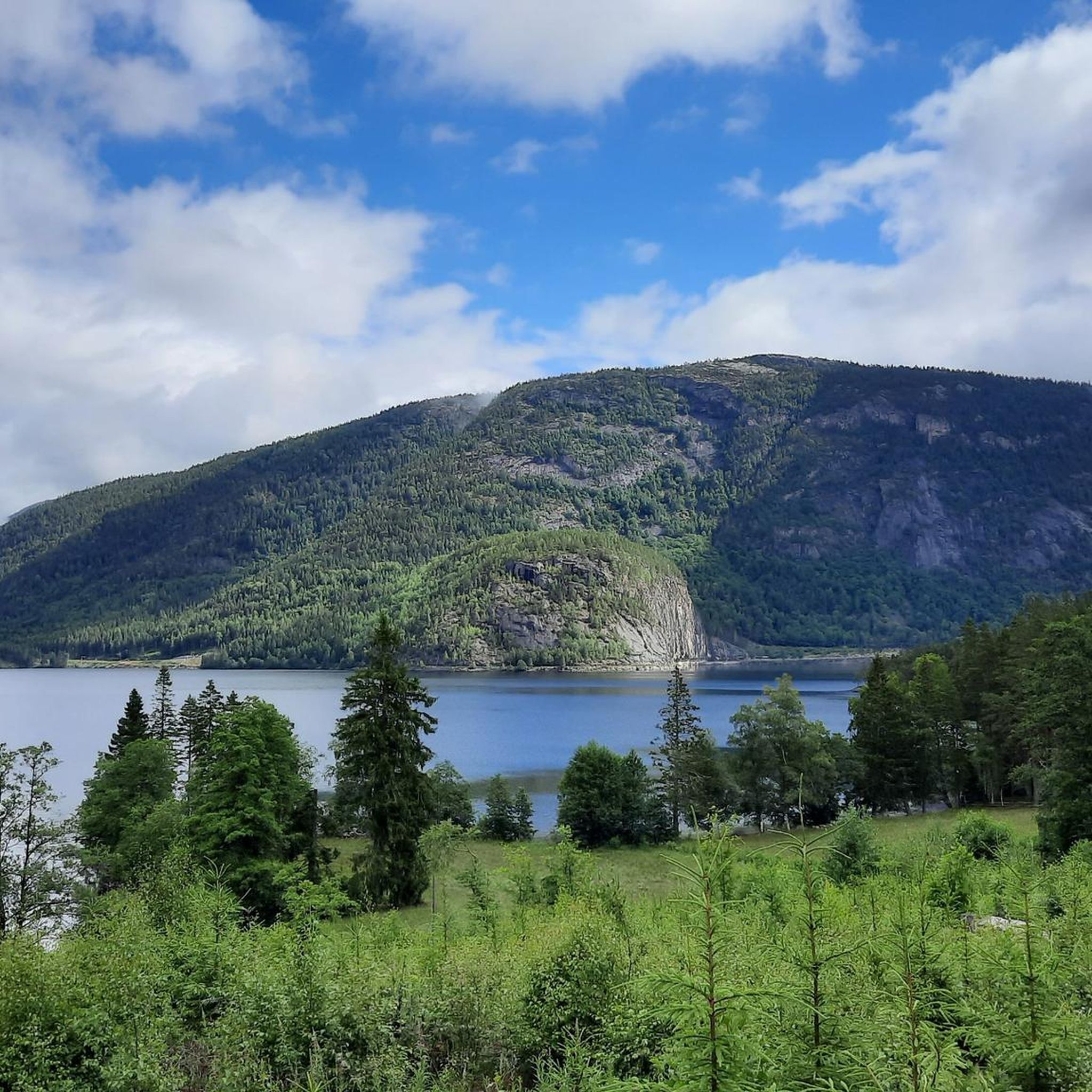
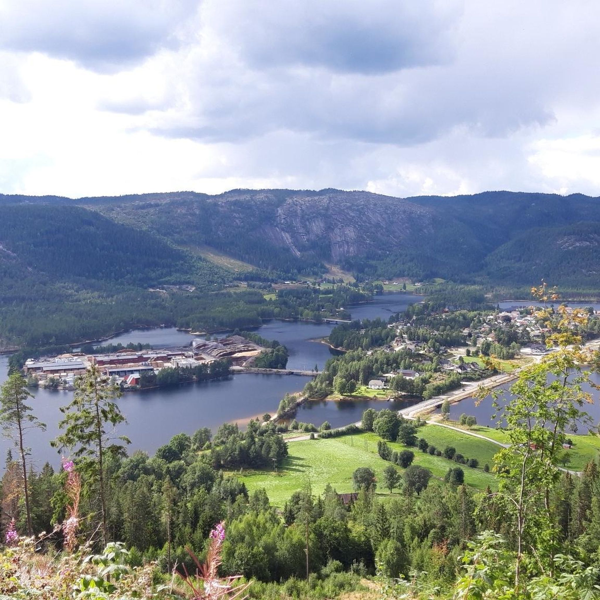
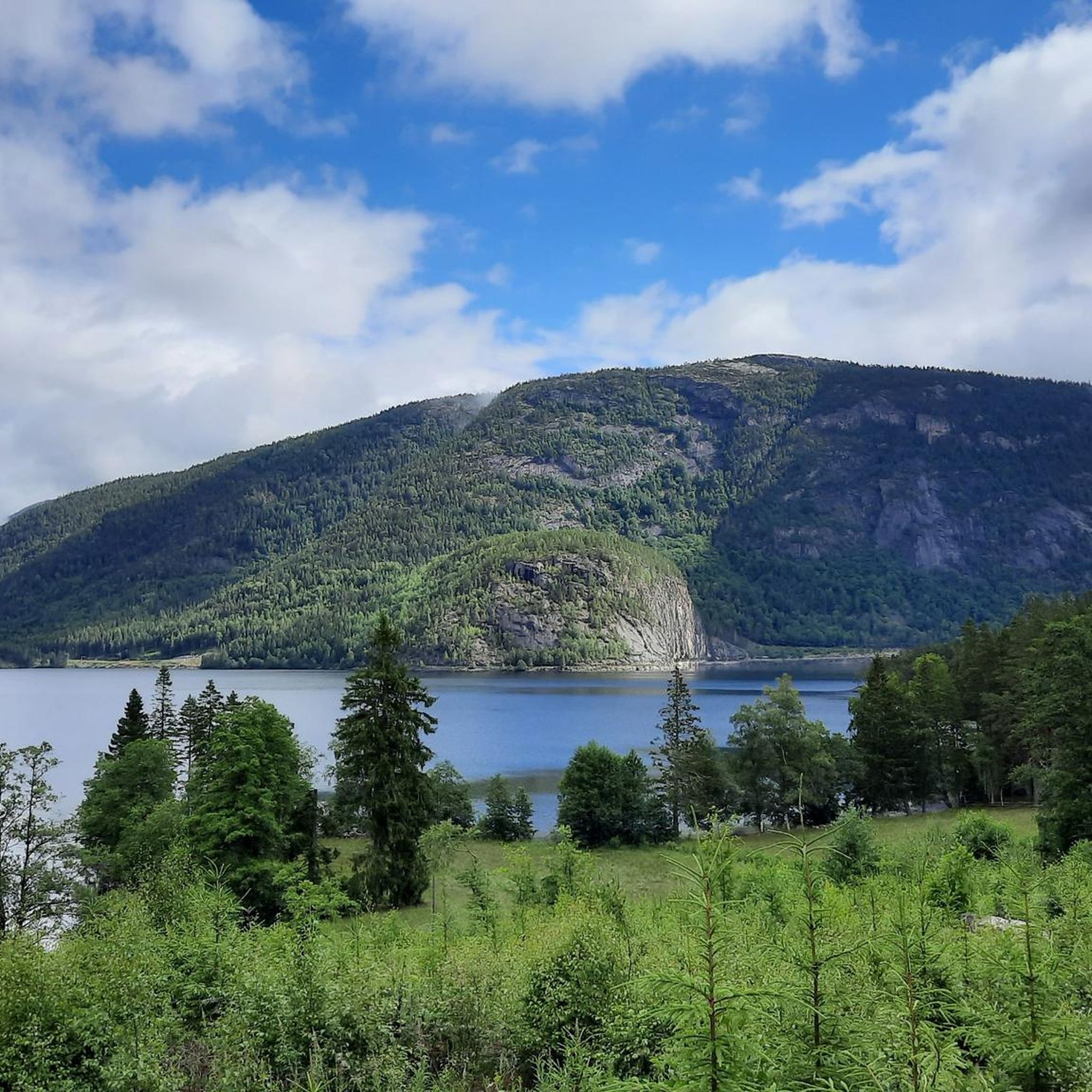
From here, you have a great view of the Byglandsfjord near Lauvdal. It is a long, narrow freshwater lake in southern Norway known for its calm waters and scenic forested surroundings. It is part of the Setesdal valley and is popular for fishing, boating, and quiet nature experiences.
1
0
Frequently Asked Questions
How many hiking trails are available in Bygland?
Bygland offers a diverse selection of nearly 20 hiking routes. These trails cater to various skill levels, from easy walks to more challenging mountain treks, ensuring there's something for every hiker.
What kind of terrain can I expect on hikes in Bygland?
The terrain in Bygland is quite varied, ranging from lush forests and rolling hills to impressive mountainscapes. You'll find paths through ancient woodlands as well as more rugged, higher-altitude treks, often with stunning views of the Byglandsfjord.
Are there any waterfalls to see while hiking in Bygland?
Yes, Bygland is home to magnificent waterfalls. A notable one is Reiårsfossen, which can be viewed from a roadside picnic spot. You can also find Rjukanfossen Waterfall and another Waterfall Near Ådneram, offering picturesque sights along certain routes.
Can I find family-friendly hiking options in Bygland?
Absolutely. Bygland offers several routes suitable for families, including 4 easy trails. These often feature gentle slopes and picturesque scenery, perfect for a leisurely outing with children.
Are dogs allowed on the hiking trails in Bygland?
Generally, dogs are welcome on hiking trails in Norway, including Bygland, provided they are kept on a leash, especially during nesting seasons or when livestock are present. Always ensure your dog is under control and that you clean up after them.
Are there any circular hiking routes in Bygland?
Yes, Bygland features several circular routes. For example, the Round trip to Ørnenapen is a popular moderate loop offering panoramic views. Another option is the Arabianspitz 792 m – Årdalsnuten Summit loop from Neset, which provides mountain landscapes and fjord views.
What is the best time of year to go hiking in Bygland?
The hiking season in Bygland's lower elevations typically runs from April, after the snow melts, until the first snowfall in November or December. For higher-altitude treks, the best time is generally from June to October, when conditions are most favorable.
What are some notable viewpoints or natural attractions in Bygland?
Bygland boasts several stunning viewpoints and natural attractions. You can enjoy panoramic vistas from View of Fånefjorden, View of Byglandsfjord, or the View of the valley and lake from the summit. For a unique experience, explore Tjovhola, a cave with traces of old mineral extraction.
How long do hikes in Bygland typically take?
Hike durations in Bygland vary significantly depending on the route and your pace. Shorter, easy trails might take around 1-2 hours, while moderate routes like the Round trip to Ørnenapen can be completed in about 2 hours. Longer, more challenging treks, such as From Gaukhei to Tjønndalen, may require 3-4 hours or more.
What do other hikers say about the trails in Bygland?
The hiking trails in Bygland are highly regarded by the komoot community, with an impressive average rating of 4.5 stars from over 400 reviews. Hikers often praise the diverse landscapes, the stunning fjord views, and the well-maintained paths that make exploring the region a rewarding experience.
Are there any challenging hikes for experienced trekkers in Bygland?
Yes, Bygland offers challenging routes for experienced hikers. While most trails are moderate, there is at least one difficult route available. These trails often involve significant elevation gain and rugged terrain, providing a rewarding challenge with spectacular views, such as those found on the Årdalsnuten Summit – View of Byglandsfjord loop from Neset.
Can I find trails that lead to mountain huts in Bygland?
Yes, many hikes in Bygland incorporate charming mountain huts, which can serve as rest stops or even overnight accommodation for a deeper immersion in nature. Gaukhei cottage is one such destination, often accessible via trails from areas like Bortelid.
Are there hikes in Bygland that offer views of Byglandsfjord?
Many trails in Bygland provide breathtaking views of the 34-kilometer-long Byglandsfjord. Routes like the View of Byglandsfjord – Ørnenapen Viewpoint loop from Lyngnes are specifically known for their panoramic vistas of the fjord and surrounding landscapes.
Most popular routes around Bygland
Most popular attractions around Bygland

Get inspired with the komoot mobile app


Explore more
Browse the best Hikes in other regions.
