The best walks and hikes around Hjelmeland
4.6
(323)
1,205
hikers
27
hikes
Hiking around Hjelmeland offers diverse terrain, characterized by deep fjords, towering mountains, and varied landscapes. The region features high mountains, heathlands, lush forests, and coastal areas with rugged cliffs, providing a range of natural environments. Notable geological features include the Ritland Crater, formed by a meteorite collision, and the dramatic Jøsenfjord, flanked by mountains reaching heights of 700 meters. This combination creates a varied backdrop for outdoor activities.
Best hiking trails around Hjelmeland
- The most popular hiking route is Randåsen…
Last updated: August 10, 2026
4.9
(24)
53
hikers
6.54km
02:17
290m
290m
Moderate hike. Good fitness required. Mostly accessible paths. Sure-footedness required.
4.7
(10)
24
hikers
3.60km
01:31
230m
230m
Moderate hike. Great for any fitness level. Mostly accessible paths. Sure-footedness required.

Sign up for free
4.3
(9)
20
hikers
5.17km
01:36
190m
190m
Easy hike. Great for any fitness level. Easily-accessible paths. Suitable for all skill levels.
4.8
(23)
109
hikers
9.51km
03:38
350m
350m
Moderate hike. Good fitness required. Mostly accessible paths. Sure-footedness required.
4.6
(19)
61
hikers
5.17km
01:35
170m
170m
Easy hike. Great for any fitness level. Easily-accessible paths. Suitable for all skill levels.
Get access to more routes and recommendations from other explorers.
Sign up for free
Already have an account?
Our route recommendations are based on thousands of hikes, rides, and runs completed by other people on komoot.
Start today with a free account
Your next adventure awaits.
Login or Signup
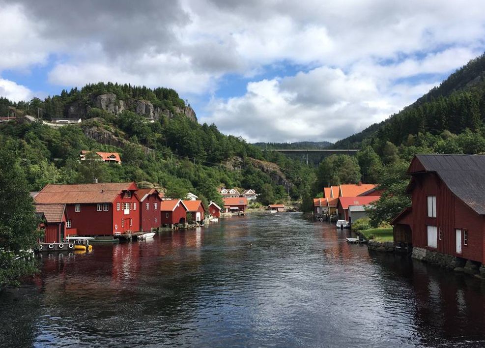
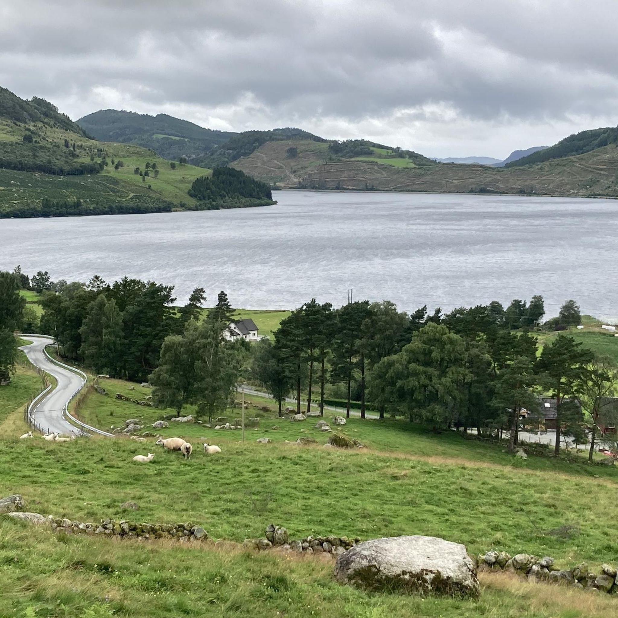

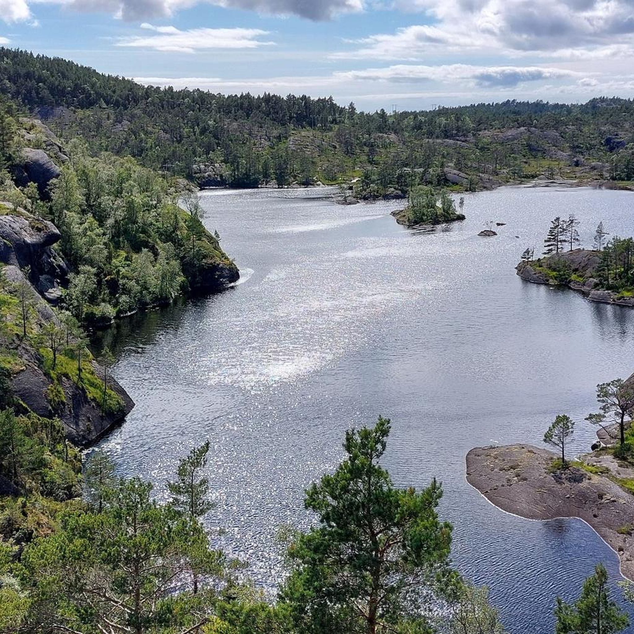
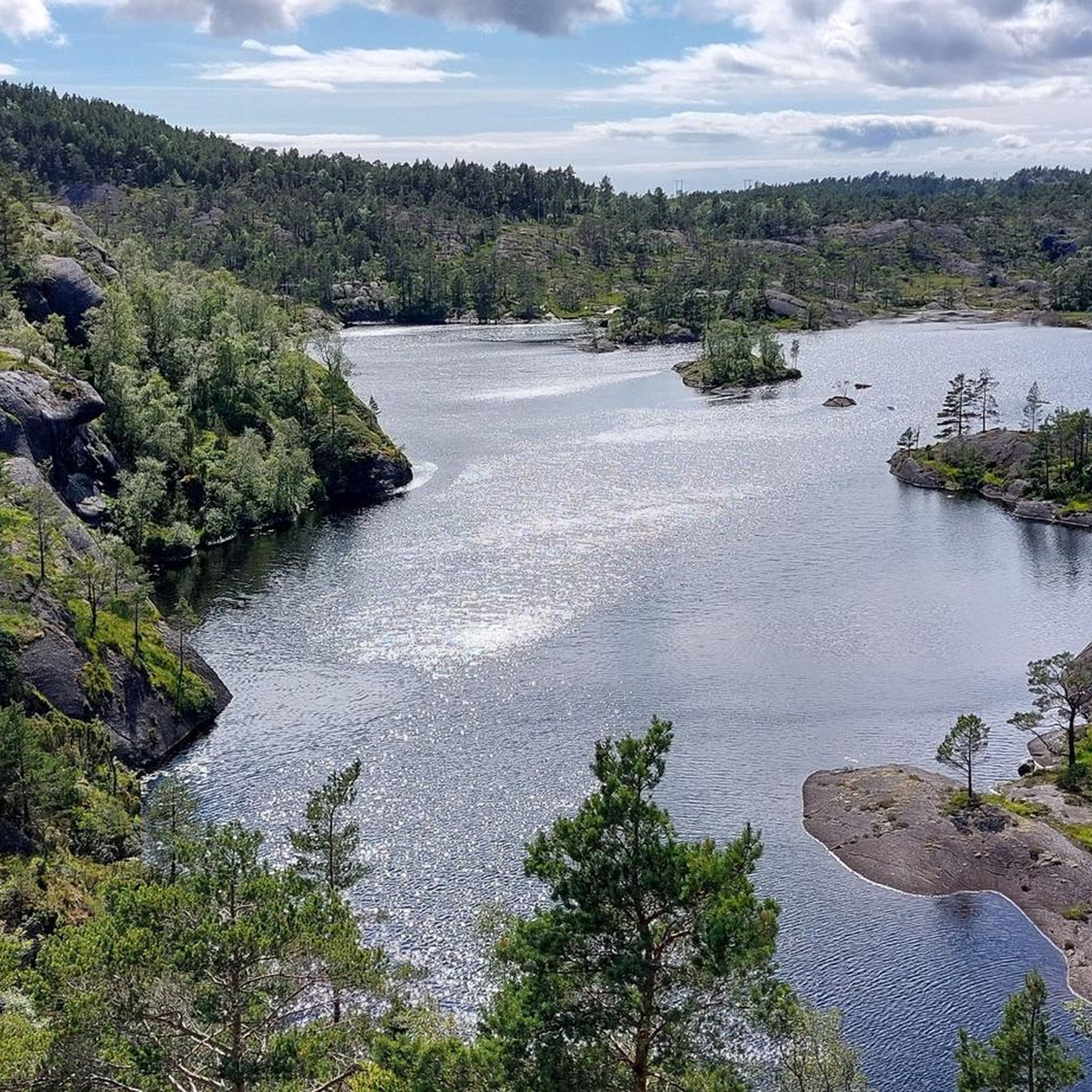
Other adventures around Hjelmeland

Tips from the Community

From this viewpoint, you can enjoy one of the most epic, wide-open views over the massive, ancient geological depression and the surrounding mountain ridges. The spot delivers that classic, raw northern atmosphere where the unique landscape completely opens up below you in every direction. It is the perfect spot to take a breather, snap some spectacular photos, and just soak in the immense wilderness.
0
0

When you're running toward the summit, you often think about the view that awaits you at the top. But sometimes, as here, spectacular panoramas await you along the way. Take the time to admire this superb view of the fjord.
0
0
What a view! And what a magnificent natural terrace from which to admire the spectacle. At 375 meters above sea level, this superb window seems to open naturally, inviting you to marvel at the view. It is beautiful, the view is distant, wide, and makes time stand still.
1
0
There are places that naturally invite you to take a break, and this is the case with this superb, 100% natural picnic area with its tables and benches carved directly from the stone. All this with a superb view.
0
0

This is a perfect, tranquil spot for reflection and relaxation. Placed strategically on elevated ground or near the shoreline, the bench invites you to sit and savor the panoramic scenery, offering a moment of quiet repose where you can simply watch the water and the surrounding nature.
0
0
Here you can enjoy a nice view of the picturesque village of Fister. You can see the fjord landscape, with the small community nestled along the mainland shoreline, backed by hills. It’s a classic image of Western Norway, combining the calm water of the fjord with the lush, vibrant nature of the surrounding countryside.
0
0
Up here, you can relax while looking at the lake and lighting a fire in the brazier. There are planks and stones where you can sit. Enjoy the view!
0
0

Frequently Asked Questions
How many hiking trails are available in Hjelmeland?
Hjelmeland offers a diverse network of over 25 hiking trails, catering to various skill levels. You'll find everything from easy strolls to more challenging mountain ascents.
Are there any easy, family-friendly hikes in Hjelmeland?
Yes, Hjelmeland has several family-friendly options. The Nessa Hill Trail is an easy 5.2 km path offering views over the surrounding landscape. Another great choice is the hike to Hjelmen, an easy, helmet-shaped peak near Hjelmelandsvågen, which provides new perspectives of the village and fjord. For a unique experience, consider Eventyrskogen (The Fairytale Forest) in Årdal, which features wooden fairy-tale characters along a child-friendly route.
What kind of terrain can I expect on Hjelmeland's hiking trails?
Hjelmeland's terrain is incredibly varied. You'll encounter dramatic fjords, towering mountains, heathlands, lush forests, and coastal areas with rugged cliffs. Trails can range from gentle paths through grazing fields to more demanding routes with significant elevation changes, offering a constantly changing backdrop for your adventures.
Are there any circular hiking routes in Hjelmeland?
Yes, Hjelmeland features several circular routes. The View of Hjelmeland loop from Hjelmeland kyrkje is an easy 5.2 km trail that offers perspectives of the village and fjord. Another moderate option is the View of Ritland Crater – Lølia loop from Øvrabø, which takes you through varied terrain around the unique geological site.
What are some notable natural landmarks or viewpoints to explore?
Hjelmeland is rich in natural landmarks. The Skomakarnibbå (The Shoemaker's Crag) is a dramatic cliff offering panoramic views of the Jøsenfjord. The Ritland Crater, formed by a meteorite collision, has marked trails for exploration. You can also find the
Are there any hikes that feature waterfalls?
Yes, you can experience waterfalls on some of Hjelmeland's trails. The Sending Falls – Hiafossen Waterfall loop from Øvre Tysdalsvatnet is a moderate 9.2 km hike that specifically highlights these natural features.
What do other hikers say about the trails in Hjelmeland?
The hiking trails in Hjelmeland are highly regarded by the komoot community, with an average rating of 4.7 stars from over 230 reviews. Hikers often praise the diverse scenery, the well-maintained paths, and the breathtaking views of the fjords and mountains.
What are some of the more challenging hikes in the region?
For experienced trekkers, the hike to Skomakarnibbå is a demanding destination, offering spectacular views from its 700-meter height above the Jøsenfjord. Reinaknuten, known as a 'rock giant,' also provides expansive views and an almost 800-meter vertical drop, making it a significant challenge.
Are there any unique geological sites to visit?
Hjelmeland is home to the unique Ritland Crater, a geological formation resulting from a meteorite collision approximately 500 million years ago. There are marked trails that allow you to explore this fascinating site. Additionally, Trollgarden is a two-kilometer-long moraine ridge that resembles a lengthy drystone wall, offering a full-day hiking opportunity.
Can I find places to stay or rest along the trails?
While specific accommodation directly on every trail isn't common, Hjelmeland offers options like the Day Trip Cabin 'Fisterbu,' which provides magnificent views across the Ryfylke islands. For more substantial stays, you can explore nearby huts and cabins such as the Emergency Shelter at Refsvatnet or the Preikestolen Mountain Lodge, which are part of the wider region's offerings.
What is the best time of year to go hiking in Hjelmeland?
The best time for hiking in Hjelmeland is typically during the warmer months, from late spring to early autumn (May to September). During this period, the weather is generally milder, trails are clear of snow, and the natural scenery is at its most vibrant. Always check local weather forecasts before heading out.
Are there any hikes that offer views of the fjords?
Absolutely. Hjelmeland is defined by its fjords. Many trails, including the hike to Skomakarnibbå and the View of Hjelmeland loop, provide stunning vistas of the Jøsenfjord and surrounding waters. The Day Trip Cabin 'Fisterbu' also offers magnificent views across most of the islands in Ryfylke.
Most popular attractions around Hjelmeland

Get inspired with the komoot mobile app


Explore more
Browse the best Hikes in other regions.
