The best running trails around Odda
5.0
(5)
276
runners
7
runs
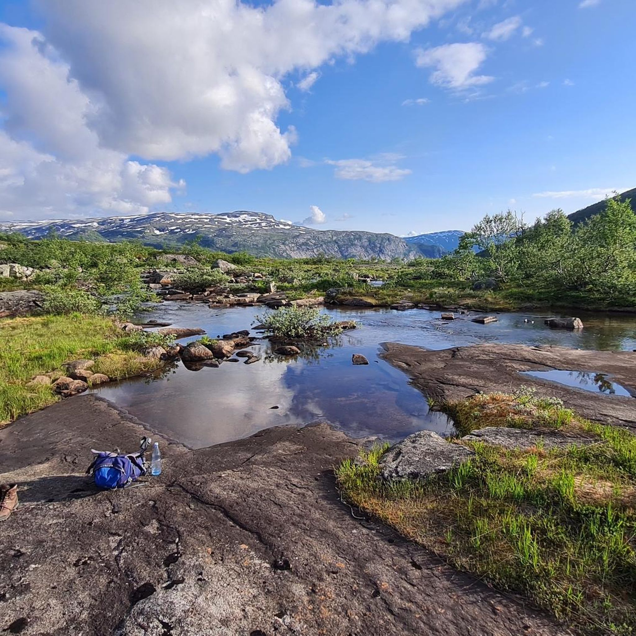
Jogging around Odda offers routes through a landscape characterized by deep fjords, towering mountains, and numerous waterfalls. The region is situated at the southern tip of the Sørfjorden, a branch of the Hardangerfjord, providing waterside paths and views. Runners can explore areas near the Folgefonna National Park, home to the Folgefonna Glacier, and the Hardangervidda plateau. Picturesque lakes such as Sandvinvatnet and Ringedalsvatnet also feature prominently in the area's natural environment.
Best jogging routes around Odda
- The most popular jogging route is Trolltunga out and back, a 16.3 miles (26.2 km) trail that takes 4 hours 10 minutes to complete. This challenging route leads to one of Norway's most iconic viewpoints, offering varied terrain.
- Another top favourite among local runners is Austdalsjuvet – Baronshaugen loop from Røldal stavkyrkje, a difficult 8.3 miles (13.4 km) path. This route features significant elevation gain and panoramic mountain scenery.
- Local runners also love the Koldeholeskorane – Strandsfossen Waterfall loop from Odda, a 7.5 miles (12.1 km) trail leading through valleys and past waterfalls, often completed in about 1 hour 22 minutes.
- Jogging around Odda is defined by dramatic fjords, majestic mountains, and abundant waterfalls. The network offers options for various ability levels, from challenging mountain trails to more accessible valley routes.
- The routes in Odda are highly rated by the komoot community with an average score of 5.0 stars from more than 5 reviews. More than 200 runners have used komoot to explore Odda's varied terrain.
Last updated: August 19, 2026
5.0
(2)
206
runners
26.2km
04:10
1,170m
1,170m
Hard run. Very good fitness required. Sure-footedness, sturdy shoes and alpine experience required.
5.0
(1)
21
runners
13.6km
02:01
530m
530m
Hard run. Very good fitness required. Sure-footedness, sturdy shoes and alpine experience required.

Sign up for free
5.0
(1)
17
runners
3.67km
00:23
20m
20m
Easy run. Great for any fitness level. Mostly paved surfaces. Suitable for all skill levels.
5.0
(1)
14
runners
12.2km
01:23
230m
220m
Moderate run. Good fitness required. Mostly paved surfaces. Suitable for all skill levels.
8
runners
5.81km
00:38
110m
110m
Moderate run. Good fitness required. Mostly paved surfaces. Suitable for all skill levels.
Get access to more routes and recommendations from other explorers.
Sign up for free
Already have an account?
Our route recommendations are based on thousands of hikes, rides, and runs completed by other people on komoot.
Start today with a free account
Your next adventure awaits.
Login or Signup
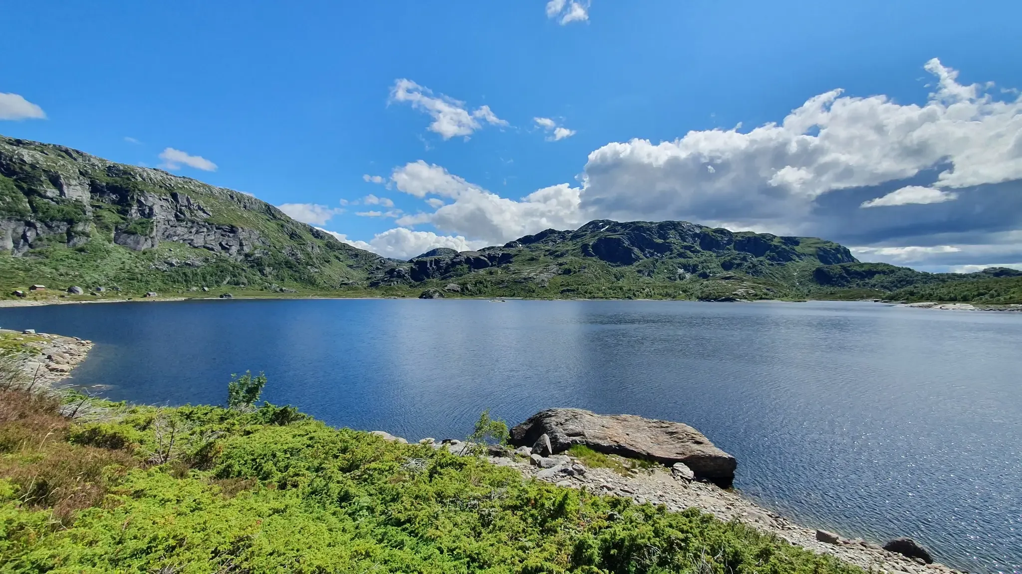

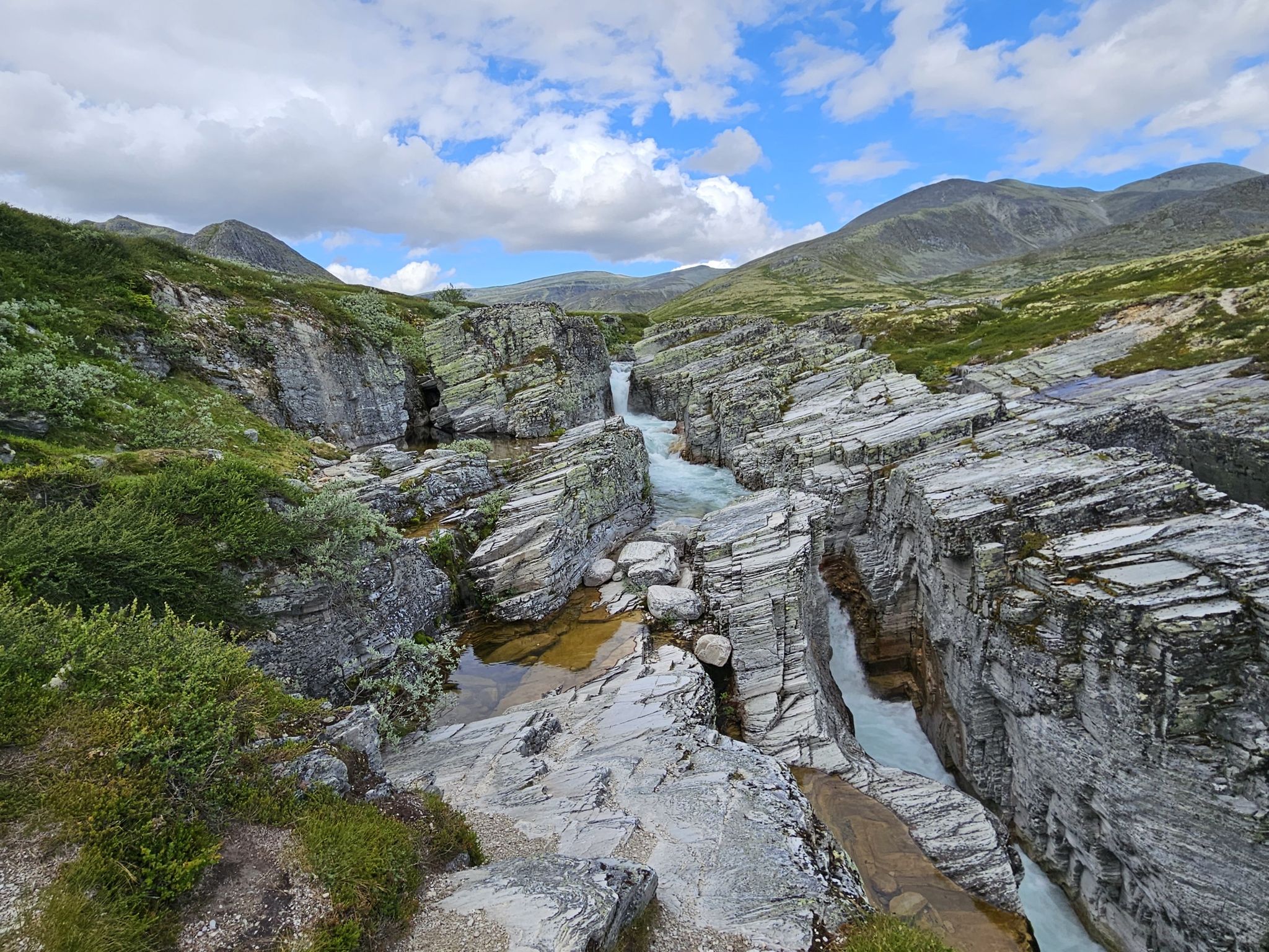
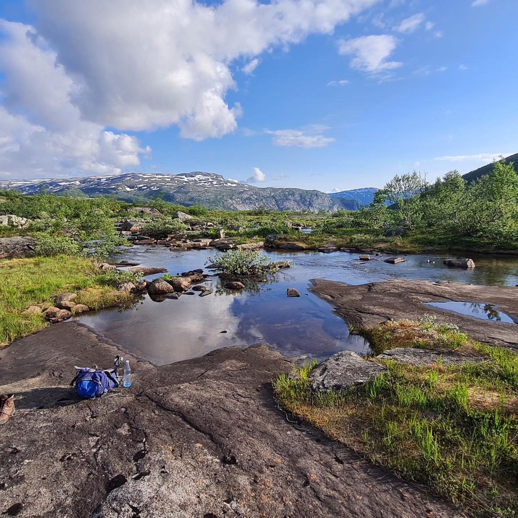
Other adventures around Odda


Tips from the Community

Perched dramatically 700 meters above Lake Ringedalsvatnet in Norway, Trolltunga, or "Troll's Tongue," is a breathtaking rock formation that juts horizontally out of the mountainside. This iconic destination rewards adventurous hikers with unparalleled panoramic views of the stunning Hardangerfjord region. The challenging trek to reach Trolltunga winds through diverse terrain, including rocky paths, lush vegetation, and alongside cascading waterfalls, making it an unforgettable experience for those who dare to undertake it. Here are five tips for traveling to Trolltunga: * Prepare for a long and strenuous hike: The roundtrip hike to Trolltunga is approximately 28 kilometers (17 miles) and can take 10-12 hours, with significant elevation gain. Ensure you are in good physical condition and train beforehand. * Start early in the morning: To avoid hiking in the dark and to have ample time, begin your trek as early as possible, especially during shorter daylight hours. Check sunrise and sunset times before you go. * Wear appropriate hiking gear: Sturdy hiking boots with ankle support are essential. Dress in layers as weather conditions in the mountains can change rapidly. Bring waterproof and windproof outerwear. * Pack sufficient food, water, and navigation tools: Carry plenty of high-energy snacks and at least 3-4 liters of water per person. Bring a map, compass, or GPS device, and ensure you know how to use them. While the trail is generally well-marked, it's crucial to be prepared. * Check the weather forecast and trail conditions: Before your hike, thoroughly check the weather forecast for the area. Be aware of potential hazards and trail closures due to weather or other factors. Mountain weather can be unpredictable, so be prepared for changes.
3
0

There are a couple of detours here for magical viewpoints across the fjord and to the mountains. Ringedalsvatnet sparkles below on a good day and mighty Mosaskornuten rises high on the opposite side.
0
0
A run to the awesome Trolltunga is great fun but the initial pull from the valley via the zigzags can be a grind. However, once you reach the plateau, things flatten out, relatively speaking. From here, you can enjoy absorbing running in truly awe-inspiring surroundings.
0
0

easy but very beautiful route
0
0

The Trolltunga is a unique rock formation that promises you breathtaking photos. But be careful, there is a depth of around 700 meters around you.
3
3

The dam was built between 1909 and 1918 for the Tyssedal hydroelectric power station. When completed in 1918, it was one of the largest gravity dams in Europe (222 mil. m³). Ringedalsvatnet now serves as a reservoir for the Oksla hydroelectric power station in Sørfjorden. The lake has a capacity of 426 mil. m³ and the power plant produces approx. 900 GWh per year.
3
0
A large white wooden church from 1870. Unfortunately, it was not possible to visit the interior as it was closed.
2
0

The part over rocks and through the forest was my personal favourite. Birds chirping and ant caravans everywhere. Although it had rained before, it was dry here in the coniferous forest.
0
0
Frequently Asked Questions
How many running routes are available in Odda?
Odda offers a selection of around 8 distinct running routes, catering to various skill levels. These routes traverse a landscape rich with fjords, mountains, and waterfalls, providing diverse and scenic experiences.
What kind of terrain can I expect on the jogging trails around Odda?
The jogging trails around Odda feature a diverse range of terrain. You can expect everything from forest paths and waterside trails along the Sørfjorden to more challenging rocky ascents and descents in mountainous areas. The region is characterized by dramatic fjords, towering mountains, and active glaciers, ensuring a constantly changing and stimulating experience.
Are there running routes suitable for beginners in Odda?
Yes, Odda offers at least one easy running route. For a more relaxed jog, consider the Running loop from Røldal stavkyrkje, which is approximately 3.7 km long with minimal elevation gain, making it ideal for those new to trail running or looking for a gentle workout.
What do other runners say about the trails in Odda?
The running routes in Odda are highly rated by the komoot community, with an average score of 5.0 stars from more than 5 reviews. Runners often praise the dramatic scenery, the variety of terrain, and the immersive experience of running amidst fjords, mountains, and waterfalls.
Are there any running routes in Odda that feature waterfalls?
Absolutely! The region is known for its abundant waterfalls. A great option is the Koldeholeskorane – Strandsfossen Waterfall loop from Odda. This moderate 12.1 km trail leads through valleys and directly past impressive waterfalls, including Strandsfossen, offering a truly scenic run.
Can I find any circular running routes in the Odda area?
Yes, several routes in Odda are designed as loops. For instance, the Austdalsjuvet – Baronshaugen loop from Røldal stavkyrkje is a challenging 13.4 km loop offering panoramic mountain scenery. Another option is the Kista Summit loop from Ståvassdammen, a difficult 9.3 km route with significant elevation.
Are there any running trails near picturesque lakes in Odda?
Yes, Odda's landscape features several beautiful lakes perfect for running nearby. The region includes picturesque lakes such as Sandvinvatnet and Ringedalsvatnet. While not a specific running route, the Bondhusdalen Valley offers an easy to moderate trail to Bondhusvatnet lake, which is suitable for a relaxed jog amidst stunning natural surroundings, including views of the Bondhusvatnet and the Bondhus Glacier.
What are some notable landmarks or viewpoints I might encounter on a run in Odda?
Odda's running routes offer access to breathtaking natural landmarks. While the iconic Trolltunga is a challenging destination, you can also find stunning viewpoints along other trails. For instance, you might encounter views of the lake and mountains or the Hellandsbygdvegen Scenic View. The region is also home to impressive mountain passes like the Røldal Pass (Fv13).
Are there any challenging trail running options for experienced runners in Odda?
For experienced trail runners seeking a significant challenge, Odda is an excellent destination. The Trolltunga out and back route is a strenuous 26.2 km trail with over 1100 meters of elevation gain, leading to one of Norway's most iconic viewpoints. This route features varied and demanding terrain.
Is it possible to combine running with exploring the Hardangerfjord region?
Absolutely. Odda is situated at the southern tip of the Sørfjorden, a branch of the larger Hardangerfjord. Many routes offer waterside paths and views of the fjord. The Hardanger National Tourist Route also provides accessible areas for shorter, scenic jogs in various sections, allowing you to experience the fjord landscape while running.
What is the best time of year for jogging in Odda?
The best time for jogging in Odda is typically during the warmer months, from late spring to early autumn (May to September). During this period, the weather is milder, trails are generally clear of snow, and the dramatic landscapes are at their most vibrant. Always check local weather conditions before heading out, as mountain weather can change rapidly.
Are there any running routes that offer views of glaciers?
Yes, Odda is close to the Folgefonna National Park, home to the impressive Folgefonna Glacier. While not directly on a running route, the View of Bondhusvatnet and the Bondhus Glacier can be enjoyed near the Bondhusdalen Valley, which offers suitable terrain for jogging. The Buerdalen valley trail also leads towards the spectacular Buer Glacier, providing captivating natural scenes.
Most popular routes around Odda
Most popular attractions around Odda

Get inspired with the komoot mobile app


Explore more
Browse the best Running Trails & Routes in other regions.
