The best walks and hikes around Tinn
4.4
(529)
2,762
hikers
64
hikes
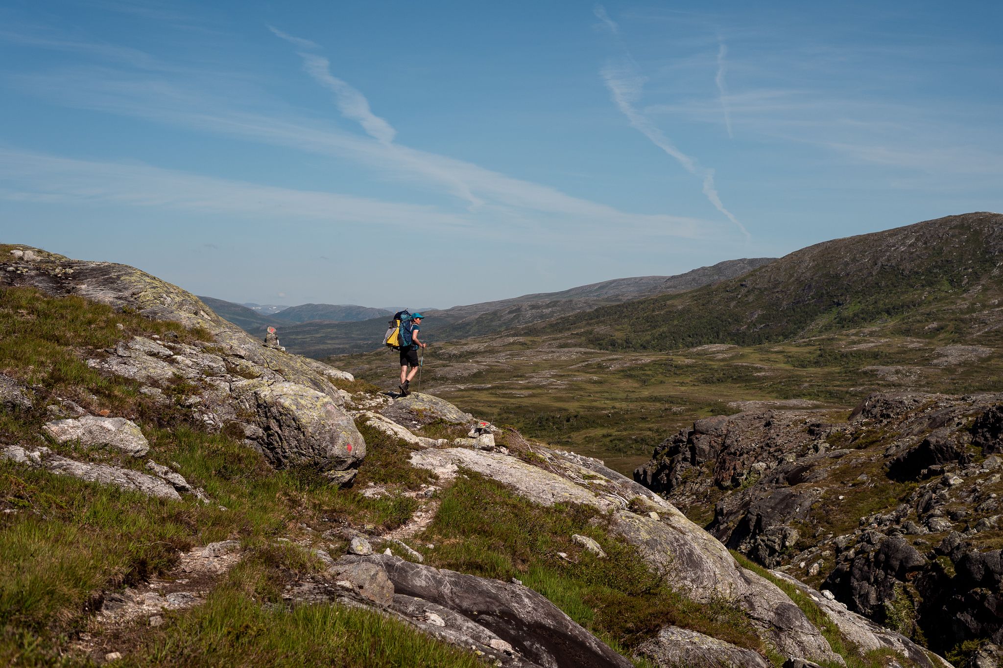
Hiking around Tinn offers diverse experiences across majestic mountainous landscapes, expansive plateaus, and deep valleys. The region is characterized by iconic peaks such as Gaustatoppen and features a significant portion of Hardangervidda National Park. These varied terrains provide a range of hiking environments, from high-altitude trails to more sheltered valley paths.
Best hiking trails around Tinn
- The most popular hiking route is Haddelandsveien and Ryes Veg Trail, a 6.3 miles (10.2 km) trail that takes 3 hours 54 minutes to complete. This moderate path offers views of the surrounding Tinn landscape.
- Another top favourite among local hikers is Gaustatoppen from Selstali Seter Trail, a difficult 9.9 miles (16.0 km) path. This route ascends towards the summit of Gaustatoppen, providing extensive panoramic views.
- Local hikers also love the Solstien Stone Path – View of Hardangervidda Plateau loop from Gvepseborg, a 2.7 miles (4.4 km) trail leading through the Hardangervidda Plateau, often completed in about 1 hour 27 minutes.
- Hiking around Tinn is defined by iconic peaks, vast high-mountain plateaus, and dramatic valleys. The network offers options for various ability levels, from easy walks to challenging mountain ascents.
- The routes in Tinn are highly rated by the komoot community with an average score of 4.5 stars from over 400 reviews. More than 2000 hikers have used komoot to explore Tinn's varied terrain.
Last updated: August 19, 2026
4.4
(34)
216
hikers
8.89km
04:50
820m
820m
Hard hike. Good fitness required. Sure-footedness, sturdy shoes and alpine experience required.
4.3
(6)
36
hikers
16.0km
07:24
960m
960m
Hike the challenging 9.9-mile Gaustatoppen via Gausdalen Nature Reserve trail, gaining 3146 feet for panoramic Norwegian views.

Sign up for free
3.7
(6)
25
hikers
10.2km
03:52
680m
680m
Hike the Haddelandsveien and Ryes Veg Trail, a moderate 6.3-mile route in Vestfjorddalen Naturreservat with 2226 feet of elevation gain.
5.0
(2)
32
hikers
21.8km
05:53
320m
230m
Hard hike. Very good fitness required. Easily-accessible paths. Suitable for all skill levels.
4.5
(2)
33
hikers
19.8km
05:35
370m
520m
Hard hike. Very good fitness required. Easily-accessible paths. Suitable for all skill levels.
Get access to more routes and recommendations from other explorers.
Sign up for free
Already have an account?
Our route recommendations are based on thousands of hikes, rides, and runs completed by other people on komoot.
Start today with a free account
Your next adventure awaits.
Login or Signup


Tips from the Community

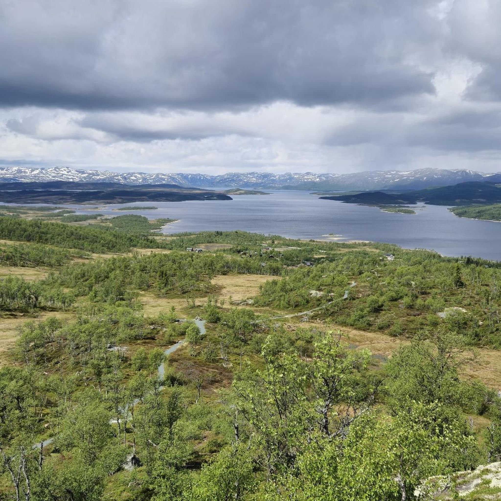
Flowing gently from the quiet waters of Solheimsvatnet, the Krukeåe river winds its way through the Valdres landscape. Along its journey, the river fills the scenic Kruketjørne, creating a network of connected waterways.
0
0

The Festningstjønne Suspension Bridge is a small pedestrian bridge that allows you to safely cross the water near Festningstjønne (Fortress Pond/Tarn). It is a vital, but simple, part of the trail network in the great, rocky high-mountain wilderness.
0
0

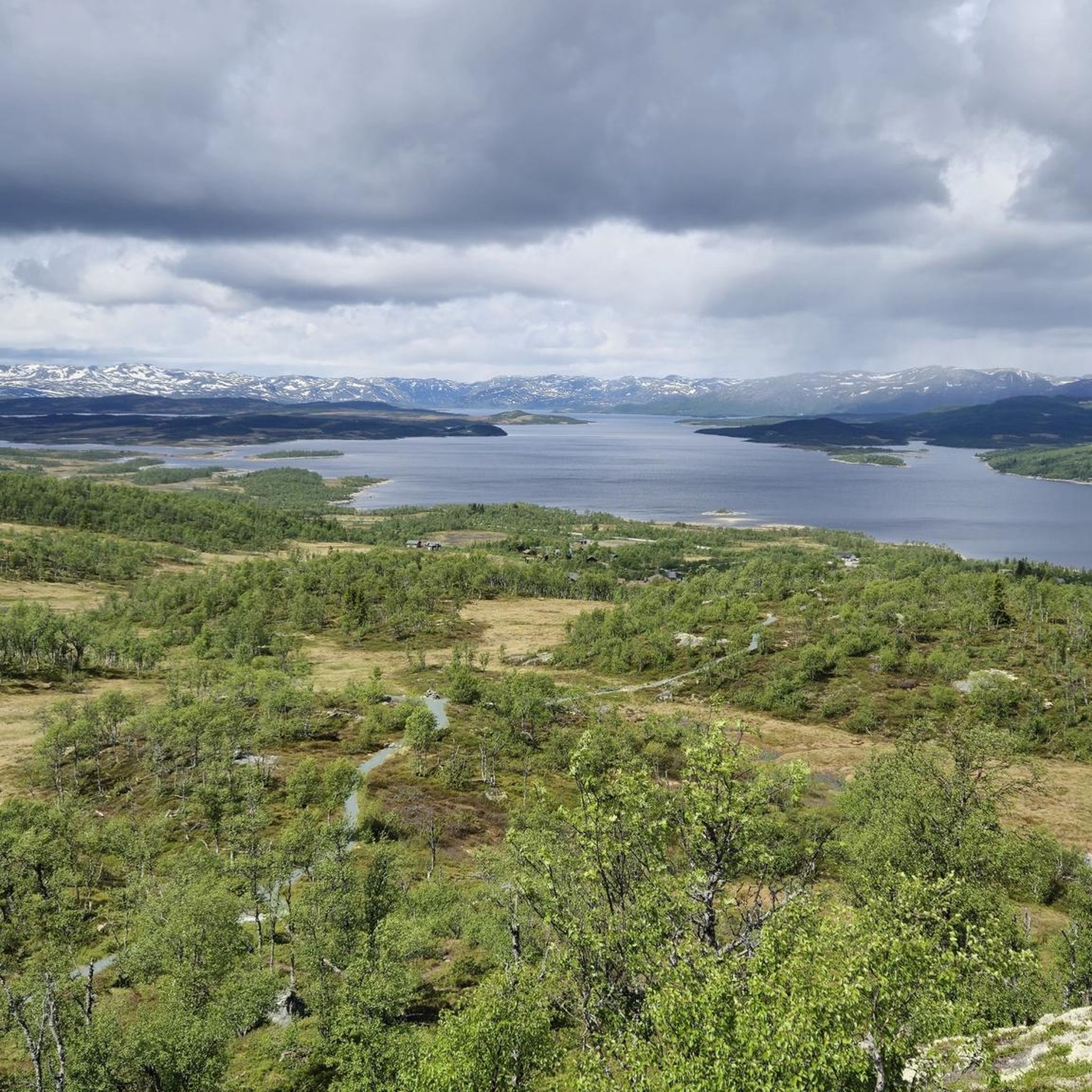
Langesjøen (meaning "The Long Lake") is a large, scenic mountain lake. It's a significant body of water, approximately 12 kilometers (7.5 mi) long, primarily known for its rich trout fishing opportunities. The lake is the main source of the Numedalslågen river system.
0
0

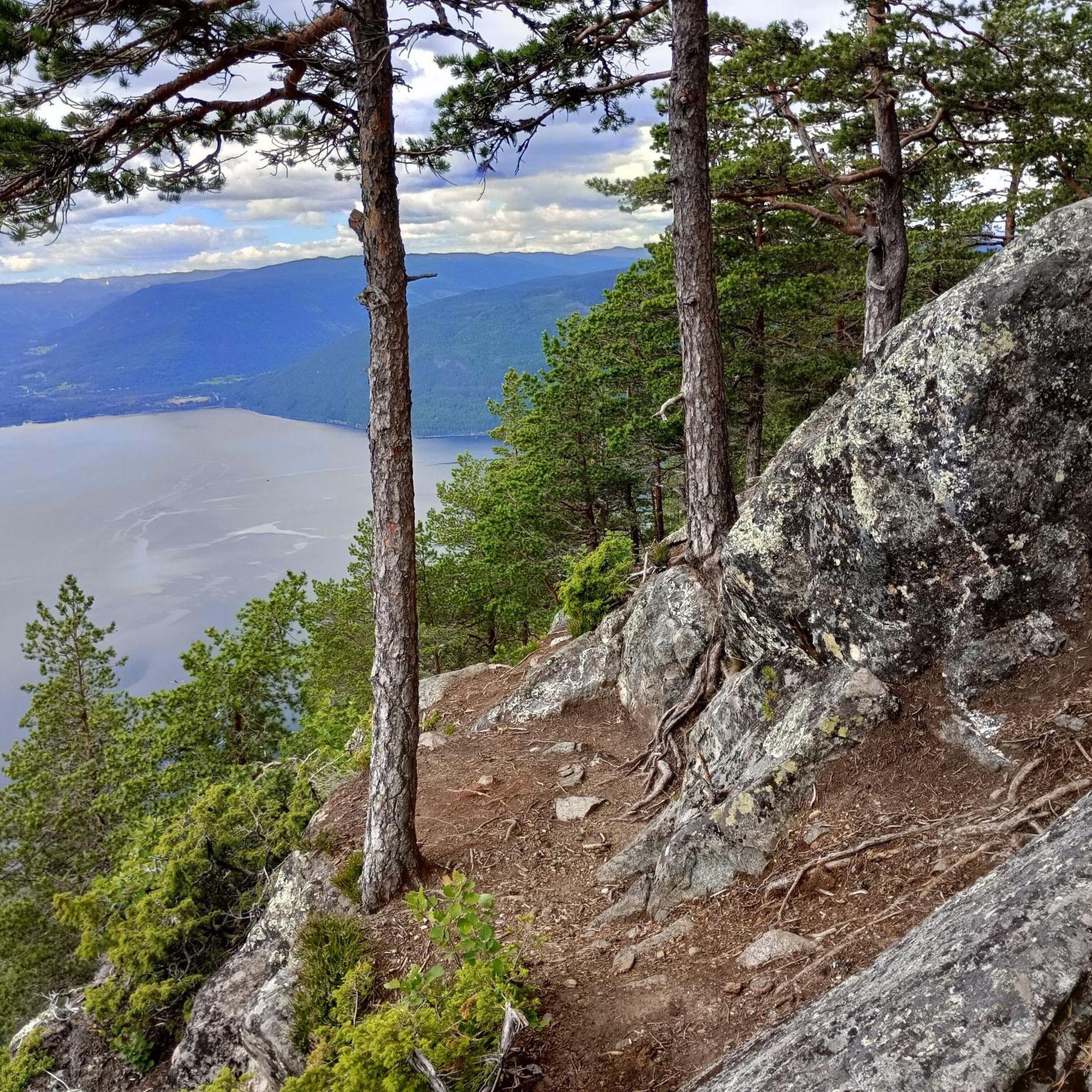
Breathtaking and impressive views of the surrounding mountains and fjords. Simply magnificent!
2
0

The DNT Rauhelleren Mountain Station is a full-board hostel during the season, where you can sleep and get at least breakfast and dinner. It's also a great place to take a break. According to the DNT website (https://ut.no/kart), there's also a self-catering cabin next to the mountain station. I personally assume that this is only open between seasons (winter/summer) and that the hut owners may also use it for overnight stays during the season. Therefore, you should also carry a DNT key with you during the off-season to access the cabins and restrooms.
0
0

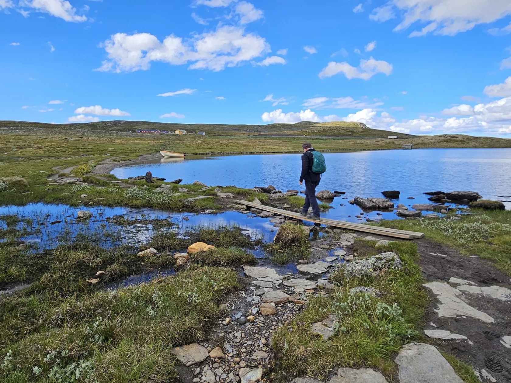
Rauhelleren is a beautiful and well-equipped hut on the Hardangervidda plateau. It's within a day's hike of several other huts, making it perfect for a hut-to-hut tour.
1
0
The cable car is currently not in operation. It is currently scheduled to reopen in 2028.
3
0

There is a free parking spot across from the Hytta. Many locals park here too. Save yourself the parking fees for the large lot.
4
0
Frequently Asked Questions
How many hiking trails are available in Tinn?
Tinn offers a wide variety of hiking experiences, with nearly 60 distinct routes documented on komoot. These range from easy strolls to challenging mountain ascents, ensuring options for all skill levels.
Are there any easy or family-friendly hiking options in Tinn?
Yes, Tinn has over 25 easy trails perfect for families or beginners. A great option is the Solstien Stone Path – View of Hardangervidda Plateau loop from Gvepseborg, which is an easy 4.4 km loop offering views of the Hardangervidda Plateau and typically takes under 1.5 hours to complete.
What are the most scenic viewpoints along the hiking trails in Tinn?
The region is renowned for its breathtaking views. The summit of Gaustatoppen, accessible via trails like Gaustatoppen from Selstali Seter Trail, offers panoramic vistas where you can see nearly one-sixth of Norway on a clear day. Other notable viewpoints include those overlooking the Rjukan Valley and the vast Hardangervidda plateau.
Are there any circular hiking routes in Tinn?
Yes, Tinn features several circular routes, which are great for experiencing diverse scenery without retracing your steps. An example is the Solstien Stone Path – View of Hardangervidda Plateau loop from Gvepseborg, an easy loop that provides excellent views.
What kind of natural attractions can I expect to see while hiking in Tinn?
Tinn's landscape is rich with natural wonders. You can explore majestic mountain peaks like Gaustatoppen summit viewpoint and Falkenuten Summit. The region also boasts impressive waterfalls such as Rjukanfossen and Juvefossen, adding dramatic beauty to your hikes.
What do other hikers enjoy most about hiking in Tinn?
The hiking trails in Tinn are highly rated by the komoot community, with an average score of 4.5 stars from over 400 reviews. Hikers often praise the region's iconic peaks, the vast high-mountain plateaus of Hardangervidda, and the dramatic valleys that offer a wide range of experiences for various ability levels.
Is it possible to hike to the summit of Gaustatoppen?
Absolutely. Gaustatoppen is a major highlight. A popular and more family-friendly route starts from Stavsro, covering about 4.3 km one way. For more experienced hikers, a challenging route from Rjukan spans about 12 km one way. At the summit, you'll find the Gaustatoppen Summit Cabin, offering simple refreshments.
Are there any historical or cultural landmarks along the trails?
Yes, Tinn has a rich history. While hiking, you might encounter sites like the Gaustatoppen Geological History Information Board, which provides insights into the mountain's ancient formation. The Rjukan area itself is historically significant, particularly with its industrial heritage.
What is the best time of year to go hiking in Tinn?
The best time for hiking in Tinn is typically during the summer months, from late June to early September, when the weather is mild and the trails are clear of snow. However, some lower-altitude trails and specific winter routes can also be enjoyed during the colder seasons, offering a different kind of experience.
Are there any specific permits required for hiking in Tinn, especially in Hardangervidda National Park?
Generally, no specific permits are required for day hiking on marked trails in Tinn or within Hardangervidda National Park. However, if you plan extended treks with overnight stays in DNT cabins, it's advisable to check the Norwegian Trekking Association (DNT) guidelines for cabin bookings and any specific regulations for the area. For more detailed information on the national park, you can visit visitrjukan.com.
Are there opportunities for longer, more challenging treks in the Tinn region?
Yes, for experienced hikers seeking a challenge, Tinn offers several difficult routes. The Gaustatoppen from Selstali Seter Trail is a demanding 16 km path with significant elevation gain, leading to the summit of Gaustatoppen. The Hardangervidda National Park also provides extensive opportunities for multi-day treks across its vast plateau.
What kind of terrain can I expect on the trails around Tinn?
The terrain in Tinn is highly varied, reflecting its diverse landscapes. You'll find everything from well-maintained paths on lower-altitude trails to rocky, exposed mountain terrain on ascents like Gaustatoppen. The Hardangervidda plateau features vast, open, and often marshy ground, so appropriate footwear is essential.
Most popular attractions around Tinn

Get inspired with the komoot mobile app


Explore more
Browse the best Hikes in other regions.
